Top 18 Mountain Passes around Bretzwil
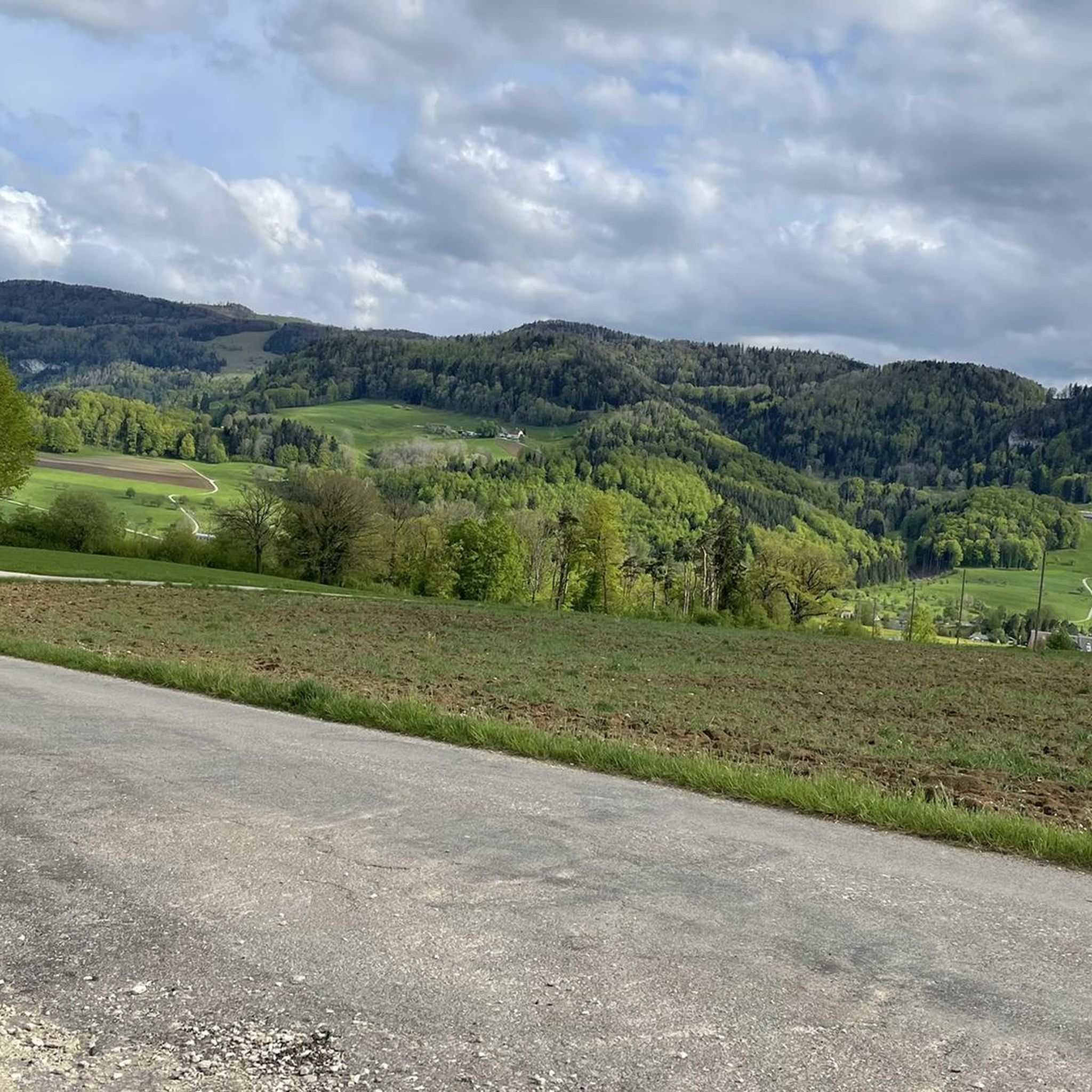
Best mountain passes around Bretzwil are found within a municipality in the Waldenburg district, situated at the base of the Jura Mountains in Switzerland. This region is characterized by its undulating terrain, featuring numerous hills and valleys that provide a natural setting for outdoor activities. The area around Bretzwil, part of the Basel-Landschaft canton, offers various routes for hiking and cycling. Its appeal lies in the overall natural environment and the recreational opportunities it presents.
Best mountain passes around Bretzwil
…Last updated: September 29, 2026
Big Bench at Blatten Pass
Highlight • Monument
Translated by Google •
Tip by

Schelten Pass from Ramiswil
Highlight (Segment) • Mountain Pass
Translated by Google •
Tip by

Sign up now to discover places like this
Get recommendations on the best single tracks, peaks, & plenty of other exciting outdoor places.
Chilchzimmersattel Ascent from Langenbruck
Highlight (Segment) • Mountain Pass
Translated by Google •
Tip by

Breitenhöchi Pass
Highlight • Mountain Pass
Translated by Google •
Tip by

Welschgätterli Pass
Highlight • Mountain Pass
Translated by Google •
Tip by

Sign up for free to discover even more mountain passes around Bretzwil.
Already have an account?
Start today with a free account
Your next adventure awaits.

Tips from the Community

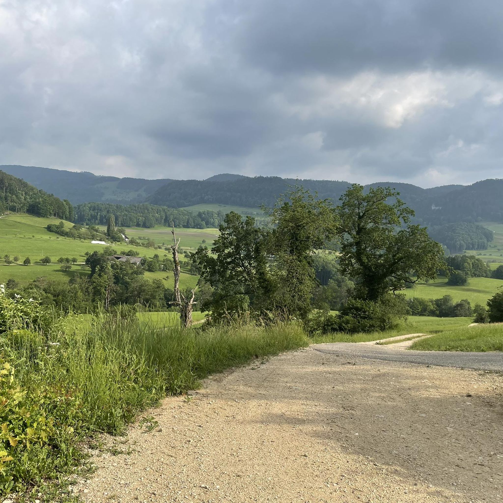
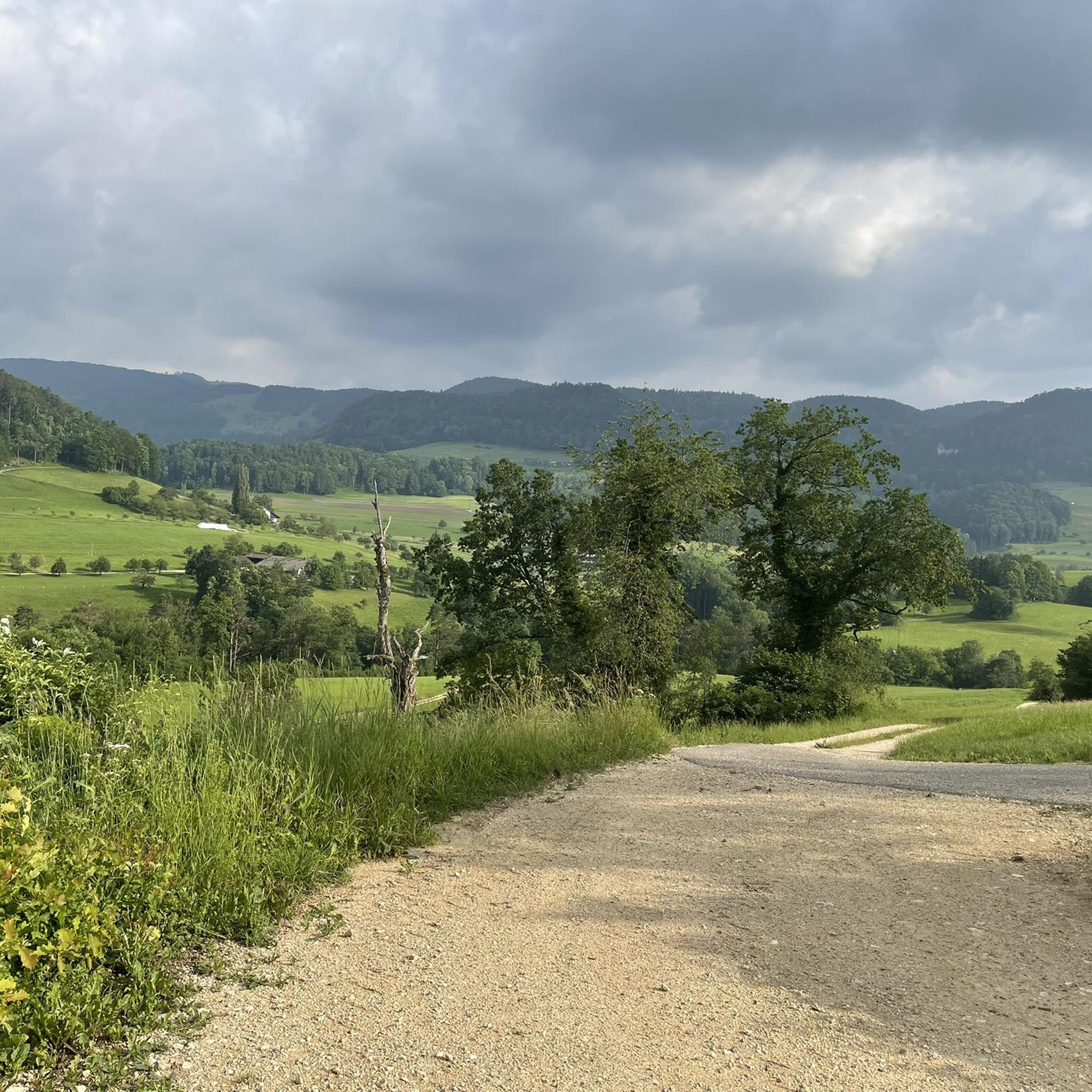
Quiet mountain road with excellent surface. Some commuters during rush hour.
0
0

Great mountain stage to the Chilzimmersattel past the Schönthal monastery in picturesque landscape
0
0


The Welschgätterli is a mountain pass between Montsevelier in the canton of Jura and Erschwil in the canton of Solothurn. Its summit is at an altitude of 810 meters above sea level, directly on the border between the two cantons. A yellow-marked hiking trail leads over the pass, connecting the two villages. You can also hike past the Welschgätterli on the Chemin du Val Terbi, which takes you on a circular route over the heights around Montsevelier. From the summit of the pass, the hike to Montsevelier takes about half an hour and to Erschwil around 40 minutes.
5
0
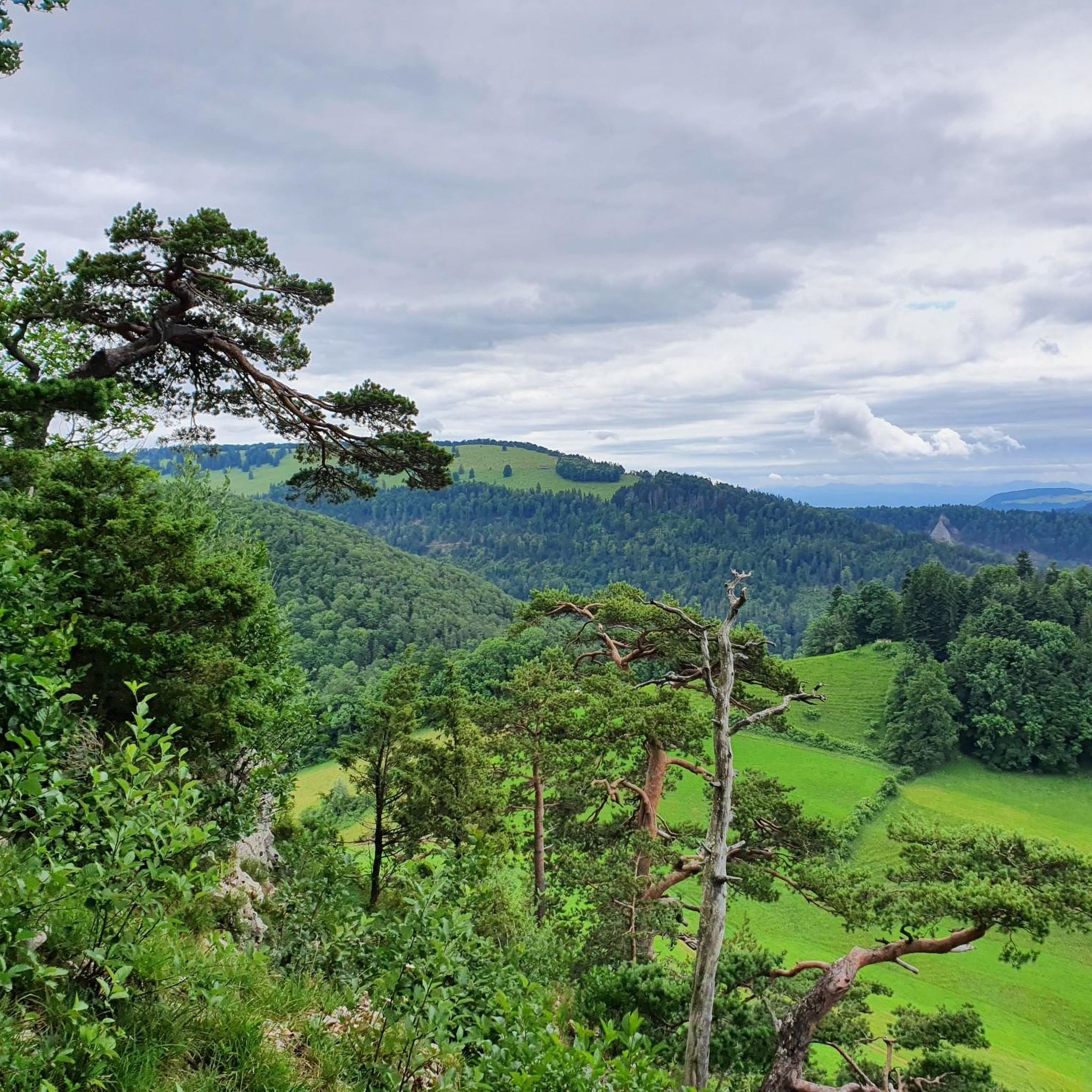
Beautiful rest area with panorama
5
0

The climb from Hägendorf to Langenbruck over the Teufelsschlucht is a highlight in itself, and the further climb to the Chilchzimmersattel is the masterpiece. Good road surface, but gradients of up to 15% make the wonderful views hard-earned!
0
0

Welschgätterli, a "to-do" in the region! 😍
1
0

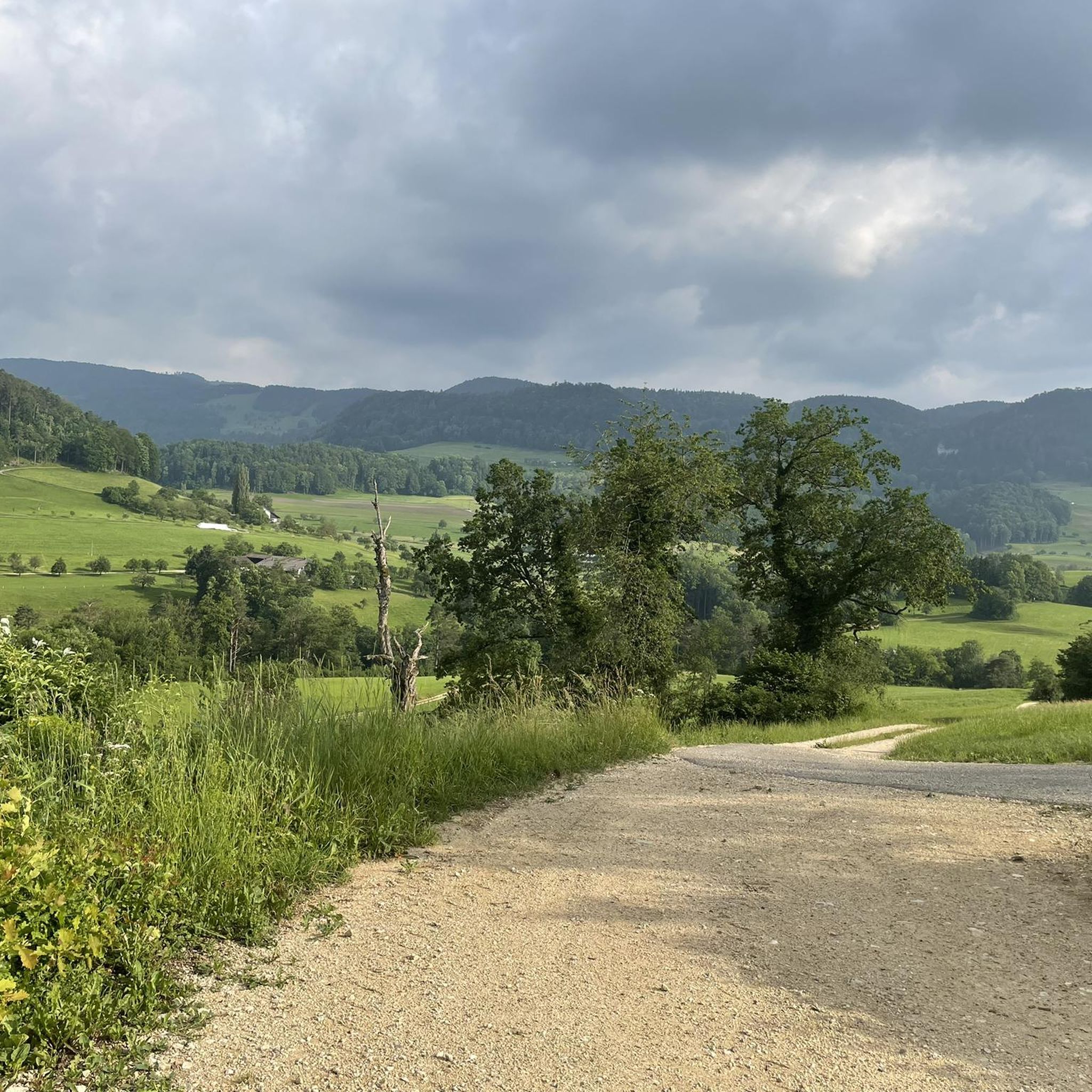
Coming from Langenbruck, it is only a small pass, but with a magnificent view down to Mümliswil. In the opposite direction, you climb a few meters in altitude, but Langenbruck itself is hidden behind a small forest and down the valley towards Holderbank / Balsthal. You can rest a little off the road on a bench under two trees (also with the best view down to Mümliswil)
0
0
Frequently Asked Questions
What kind of terrain can I expect when exploring mountain passes near Bretzwil?
The region around Bretzwil, situated at the base of the Jura Mountains, is characterized by its undulating terrain, featuring numerous hills and valleys. You'll find a mix of challenging ascents and scenic descents, with routes winding through lush forests and over rolling hills, offering a tranquil and active way to explore the Jura landscape.
Are there any family-friendly mountain passes or attractions near Bretzwil?
Yes, the area offers options suitable for families. For instance, the Big Bench at Blatten Pass is categorized as family-friendly and features a nice barbecue area, making it a great spot to linger and enjoy the surroundings.
What are some challenging mountain pass routes for experienced cyclists or hikers?
For those seeking a challenge, the Schelten Pass from Ramiswil offers a demanding 13 km ascent with steep ramps, rewarding you with views and a fast descent. Another option is the Chilchzimmersattel Ascent from Langenbruck, known for sections with gradients of 10-15% and great views with low traffic.
What natural features and viewpoints can I discover around Bretzwil's mountain passes?
The region is rich in natural beauty and offers several viewpoints. The Breitenhöchi Pass, for example, reaches an elevation of 845 meters and provides extensive views into the Guldental and towards the Upper Hauenstein. Additionally, summits like Hohe Winde and Hirnichopf in the vicinity offer sensational views stretching across to the Alps, the Vosges, and the Black Forest.
What outdoor activities can I do near these mountain passes?
The area around Bretzwil is ideal for various outdoor activities. You can explore numerous routes for gravel biking, running, and mountain biking. For more details on specific routes, check out the guides for Gravel biking around Bretzwil, Running Trails around Bretzwil, and MTB Trails around Bretzwil.
Are there any mountain passes that cross language borders or have historical significance?
Yes, the Welschgätterli Pass is notable for being a mountain pass between Montsevelier in the canton of Jura and Erschwil in the canton of Solothurn. Its summit, at 810 meters above sea level, directly marks the language border between German and French-speaking regions, and a yellow-marked hiking trail leads over it.
What is the best time of year to visit the mountain passes around Bretzwil?
The best time to visit largely depends on your preferred activity. For cycling and hiking, spring through autumn generally offers pleasant conditions. For challenging climbs like the Schelten Pass, starting early in the morning during summer is recommended to take advantage of cooler temperatures. Winter conditions can bring snow, which may affect accessibility and require specialized gear for hiking.
How accessible are the mountain passes near Bretzwil by public transport?
While specific public transport details for each pass vary, the broader Basel-Landschaft canton, where Bretzwil is located, generally has good public transport connections to its villages. From these villages, many hiking and cycling routes, including those leading to passes, are accessible. It's advisable to check local bus schedules to trailheads.
Are there any specific tips for cycling the mountain passes in the area?
For cyclists, the Breitenhöchi Pass is described as a 'racing cyclist dream' due to its well-maintained asphalt road and moderate slope. When tackling passes with steep ramps like Schelten Pass, be aware of potential rockfall and road sections with coarse holes, especially on descents. Always carry enough water, especially in warmer weather.
What do visitors enjoy most about the mountain passes around Bretzwil?
Visitors particularly appreciate the overall natural environment and the recreational opportunities it presents. The extensive network of hiking and cycling paths winding through lush forests and over rolling hills provides a tranquil and active way to explore the Jura landscape. The stunning views from various passes and summits are also a major draw.
Are there any specific nature trails or educational walks in the Bretzwil area?
Yes, the Bretzwil Nature Trail around the Balsberg offers visitors a chance to learn about local trees, shrubs, and woodland inhabitants, providing an engaging way to experience the natural surroundings beyond just the mountain passes.
Can I find accommodation or places to eat near the mountain passes?
While specific cafes, pubs, or accommodations directly at every pass might be limited, the villages and towns in the broader Basel-Landschaft canton, including Bretzwil itself, offer various options for dining and lodging. It's recommended to plan your route and check for amenities in nearby settlements.
Most popular routes around Bretzwil
Most popular attractions around Bretzwil

Get inspired with the komoot mobile app


Explore more
See even more epic mountain passes by checking out these guides around Bretzwil:
