Top 14 Mountain Passes around Oberried am Brienzersee
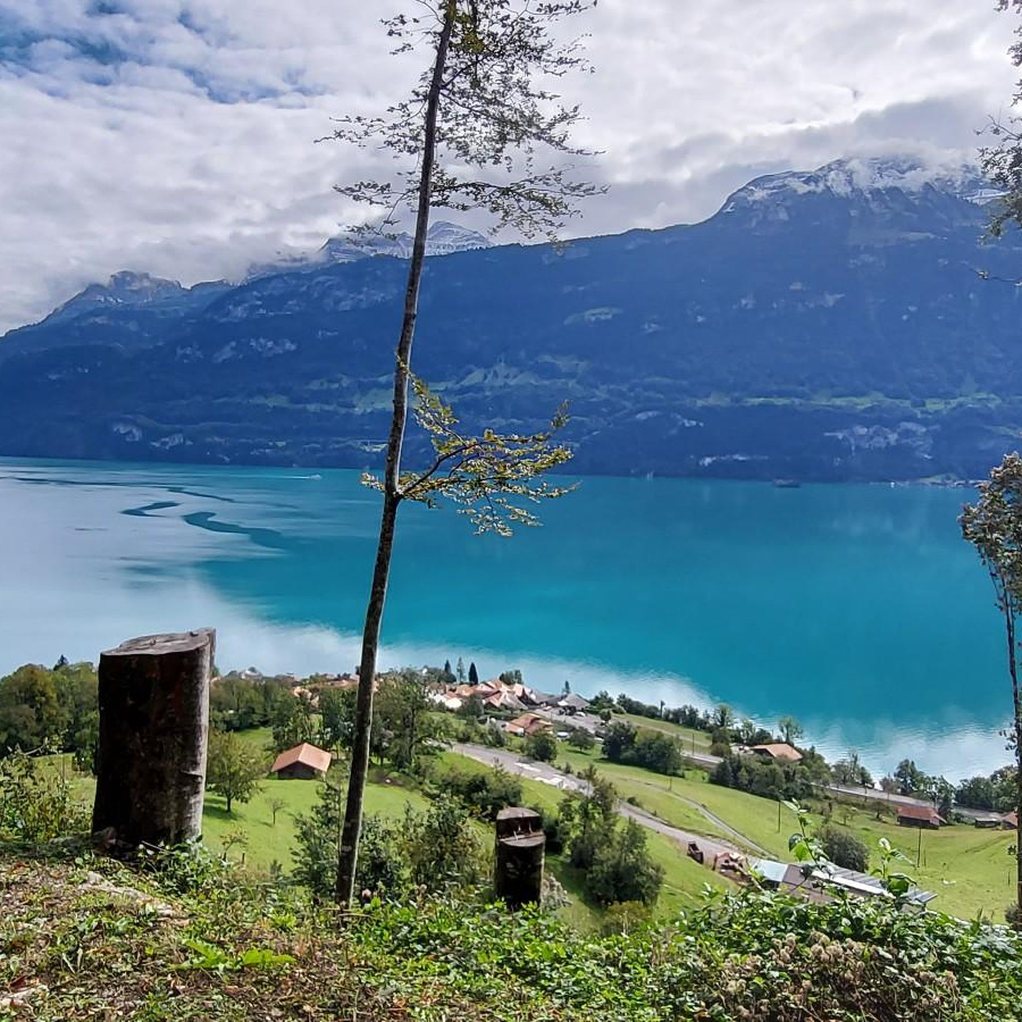
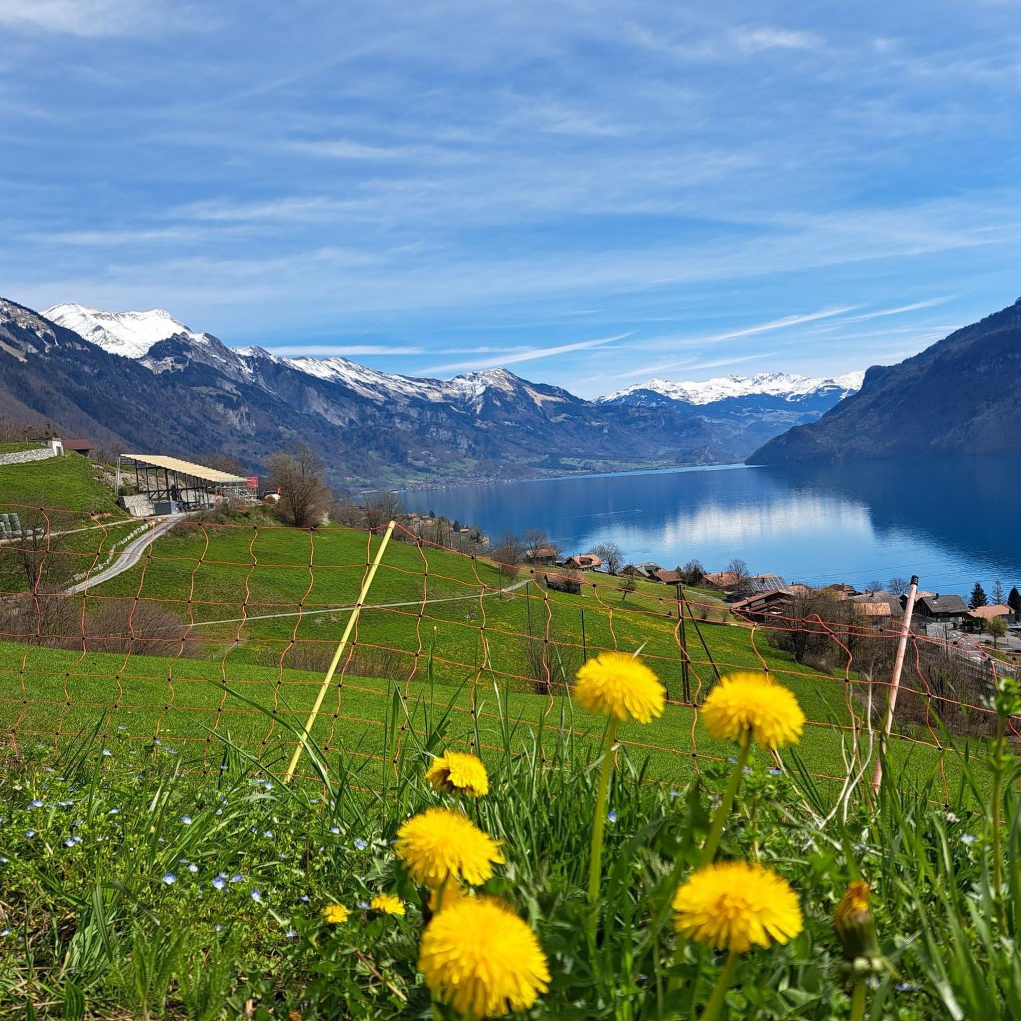
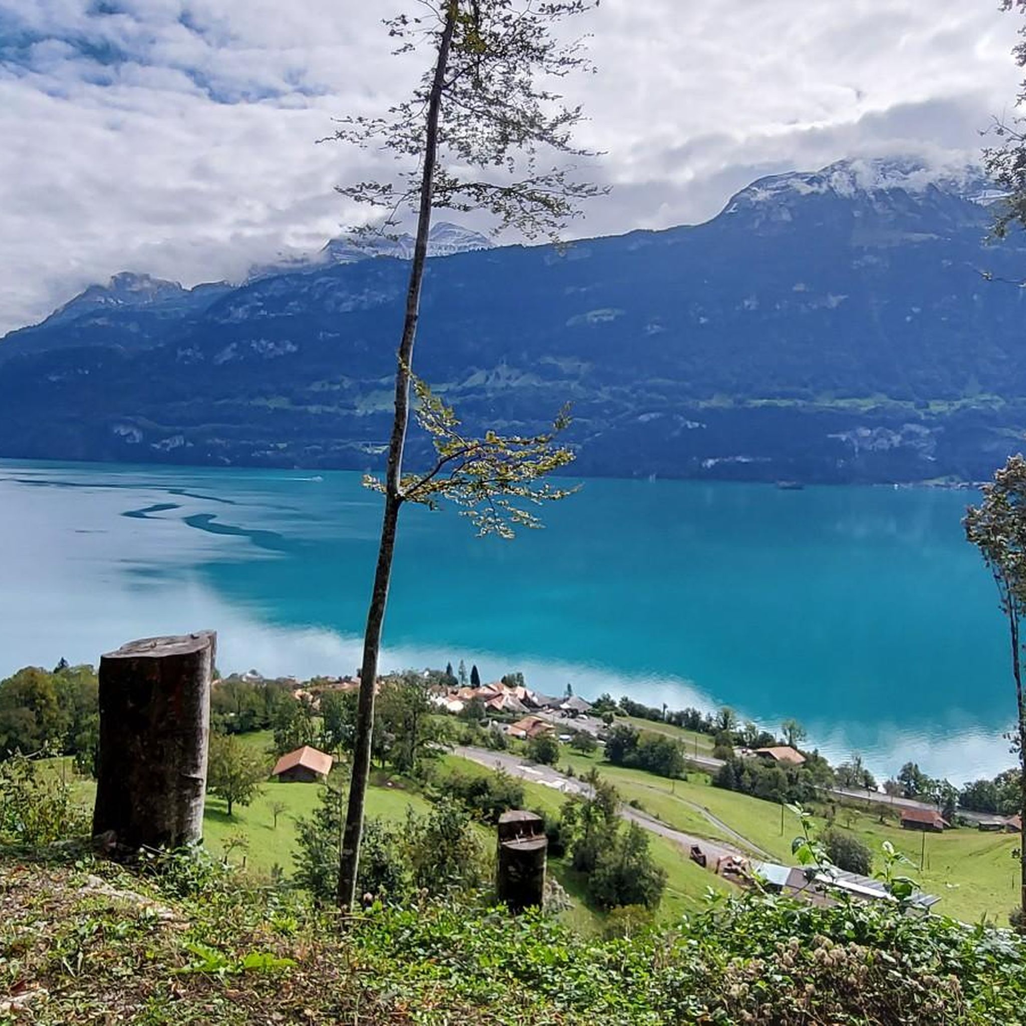
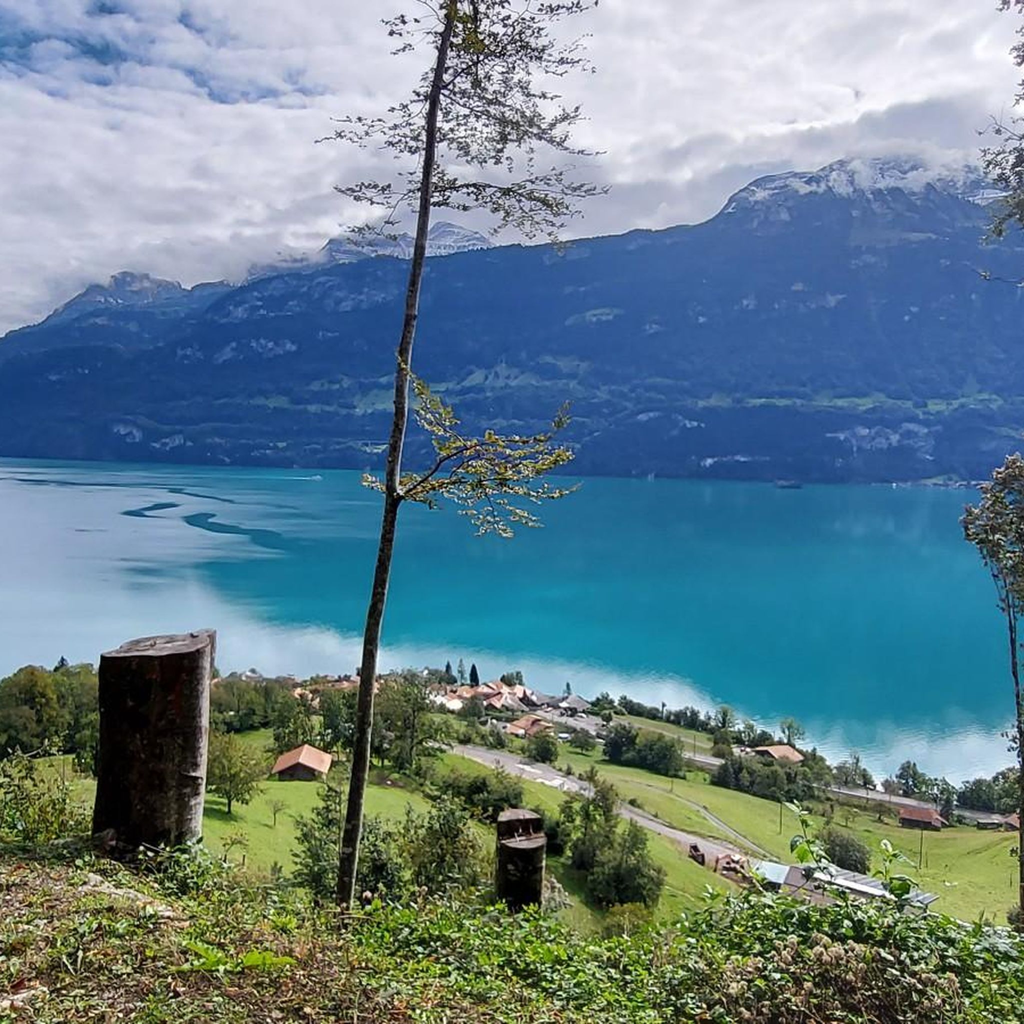
Best mountain passes around Oberried am Brienzersee offer access to a region characterized by its mountain ridges and peaks, providing challenging hiking experiences and panoramic vistas. The area overlooks Lake Brienz and is part of the Bernese Oberland. These routes often serve as scenic paths for hikers, connecting different alpine sections. The landscape features prominent peaks and deep valleys, typical of the Swiss Alps.
Best mountain passes around Oberried am Brienzersee
- The most popular mountain passes is Grünenberg Pass,…
Last updated: May 14, 2026
Grünenberg Pass
Highlight • Mountain Pass
Translated by Google •
Tip by

Lättgässli Pass
Highlight • Mountain Pass
Translated by Google •
Tip by

Sign up now to discover places like this
Get recommendations on the best single tracks, peaks, & plenty of other exciting outdoor places.
Sign up for free
Sichle Pass
Highlight • Mountain Pass
Translated by Google •
Tip by

Habkern–Beatenberg Scenic Mountain Road
Highlight (Segment) • Mountain Pass
Translated by Google •
Tip by

Glaubenbielen Pass
Highlight • Mountain Pass
Translated by Google •
Tip by

Sign up for free to discover even more mountain passes around Oberried am Brienzersee.
Sign up for free
Already have an account?
Start today with a free account
Your next adventure awaits.
Login or Signup
Popular around Oberried am Brienzersee
Hiking around Oberried am Brienzersee
Road Cycling Routes around Oberried am Brienzersee
Cycling around Oberried am Brienzersee
MTB Trails around Oberried am Brienzersee
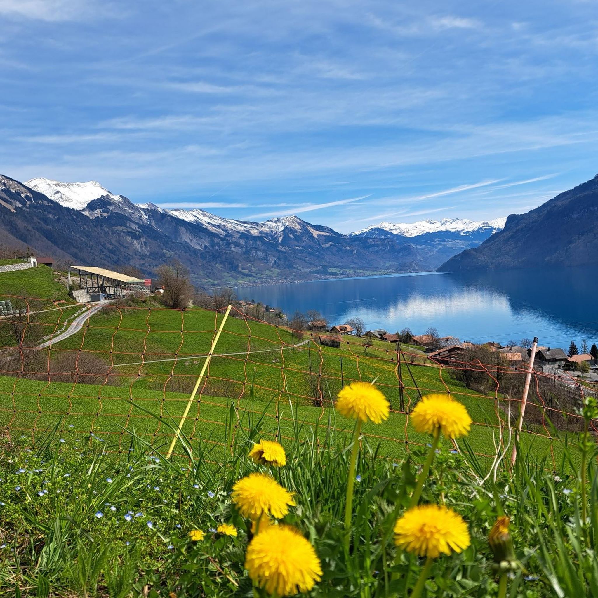
Running Trails around Oberried am Brienzersee
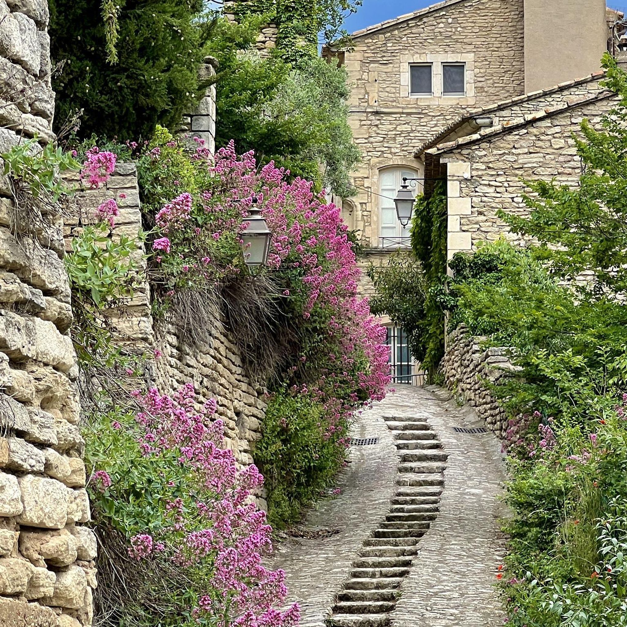
Gravel biking around Oberried am Brienzersee
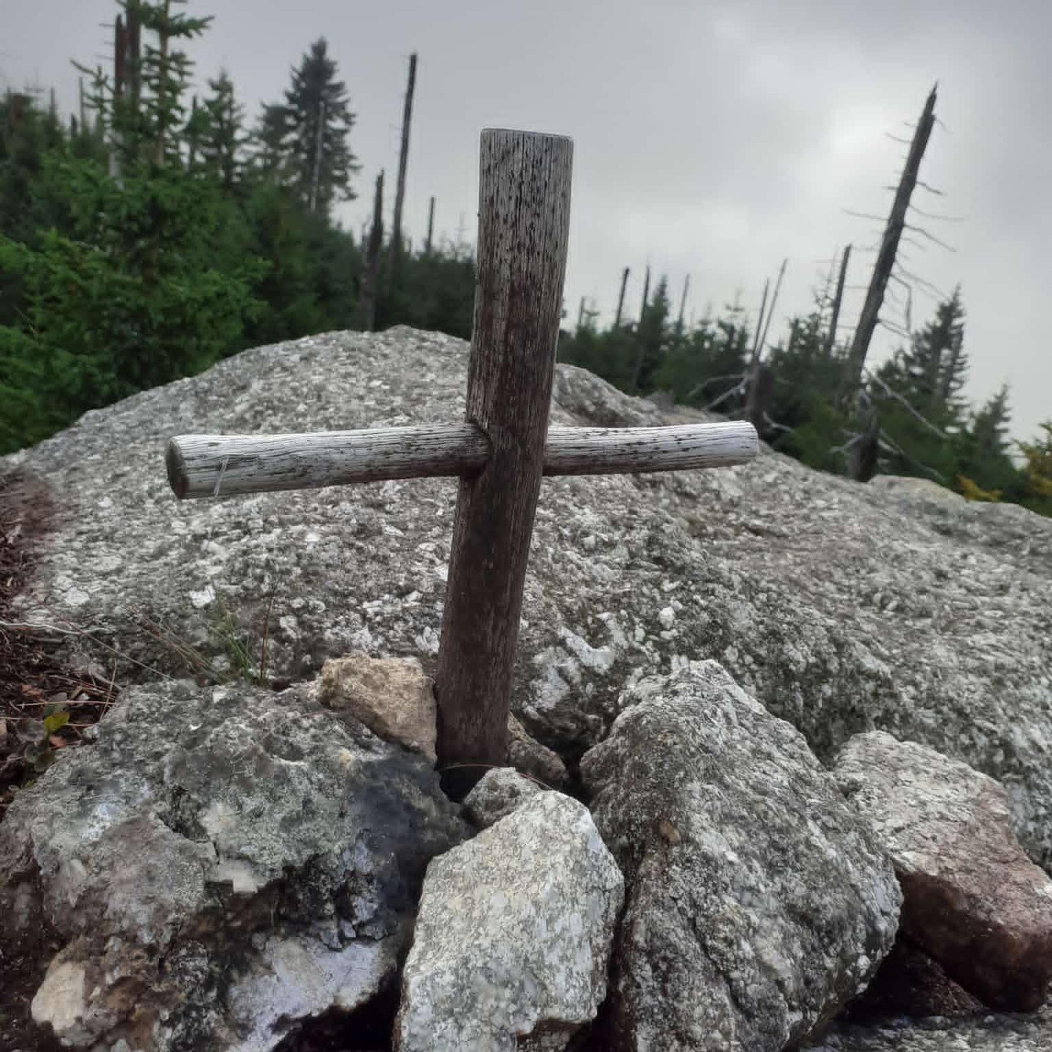
Mountain Hikes around Oberried am Brienzersee
Tips from the Community


A small mountain pass between the cantons of Obwalden, from Giswil and Lucerne to Sörenberg. The route is narrow on the Obwalden side and in places only single-track, stretching with a very constant gradient of 8 to 12% over meadow slopes and forest up to the highest point. From the Lucerne side, starting at the Brienz Rothorn cable car valley station, it is also only two-track. The highest point is somewhat unspectacular, situated in the sparse mountain forest at the foot of a rock face; the actual pass summit is somewhat lower on the Lucerne side, where there is also a small kiosk.
0
0
A small mountain pass between the cantons of Obwalden and Lucerne, from Giswil to Sörenberg. The route is narrow on the Obwalden side and in places only single-track, stretching at a very constant gradient of 8 to 12% over meadow slopes and forest up to the highest point. From the Lucerne side, starting at the Brienz Rothorn cable car valley station, it is also only two-track. The highest point is somewhat unspectacular, situated in the sparse mountain forest at the foot of a rock face; the actual pass summit is somewhat lower on the Lucerne side, where there is also a small kiosk.
0
0

Distinctive saddle between Zulzigraben and Justistal. An impressive place with steep walls to the east and west and special valleys to the north and south. Pleasant on foot, arduous on the bike.
0
1

The climb towards Eriz is very rocky and therefore bumpy. Good steering skills are an advantage.
1
0

It’s impossible to climb there without an e-bike (from both sides). I had to push for a long time.
1
0

Very beautiful pass. Quite tough with a 10% gradient from Giswil.
1
0
Frequently Asked Questions
What are some challenging mountain passes for experienced hikers near Oberried am Brienzersee?
For experienced hikers seeking a challenge, the Lättgässli Pass offers a demanding route with incredible views down to Lake Brienz and the Eiger, Mönch, and Jungfrau massif. Another option is the Sichle Pass, which provides a panoramic view and allows for further ascent to the Seven Stallions or Sigriswiler Rothorn. Additionally, the Hardergrat Ridge, while not a traditional pass, is an iconic and extremely challenging hike in the region, known for its narrow, exposed sections and continuous panoramic views.
Are there mountain passes with scenic viewpoints around Oberried am Brienzersee?
Yes, several mountain passes offer stunning viewpoints. The Lättgässli Pass provides an incredible vista of Lake Brienz and the high peaks of the Jungfrau Region. The Sichle Pass also boasts a beautiful panorama in both directions. For a less strenuous option, the Habkern–Beatenberg Scenic Mountain Road offers many views of Lake Thun and the picturesque mountain landscape.
What is the best time of year to hike the mountain passes near Oberried am Brienzersee?
The best time to hike the mountain passes is generally from June to September. During this period, conditions are typically dry, which is crucial for exposed and grassy ridge trails like the Hardergrat, as they can become very slippery and dangerous when wet. Always check local weather conditions before heading out.
Are there any mountain passes accessible by public transport near Oberried am Brienzersee?
While direct public transport to the very top of all passes might be limited, many starting points for hikes to these passes are accessible. For instance, to reach areas like Augstmatthorn, you can often take public transport to nearby towns or even funiculars like the one to Harder Kulm, which serves as a starting point for ridge hikes.
What kind of wildlife can be seen near the mountain passes?
The region, particularly around Augstmatthorn, is part of a Federal Wildlife Protection Area and a protected moorland. Hikers often have the chance to spot alpine ibex, which have a significant colony here, as well as chamois and even golden eagles. These sightings add a unique natural element to the hiking experience.
Are there any family-friendly hiking options around the mountain passes?
While many of the prominent 'passes' in this region are challenging ridges, there are more moderately difficult routes available. For example, shorter and more accessible routes to Augstmatthorn can be found, such as those starting from Lombachalp, which offer a steady ascent through alpine meadows suitable for families with some hiking experience. Always check the specific trail difficulty before planning a family outing.
What outdoor activities can I do near these mountain passes?
Beyond exploring the mountain passes themselves, the region around Oberried am Brienzersee offers a variety of outdoor activities. You can find numerous mountain hikes, including challenging routes to peaks like Augstmatthorn. There are also running trails and gravel biking routes that allow you to explore the diverse landscapes of the Bernese Oberland.
Can I cycle on any of the mountain passes?
Some mountain passes are suitable for cycling, though conditions vary. The Grünenberg Pass is accessible via a narrow, unpaved military road, which can be quite steep and challenging for cyclists. The Habkern–Beatenberg Scenic Mountain Road is a small paved road that connects Habkern with Beatenberg, offering a less-used route with great views, though it also has steep sections.
What makes the Glaubenbielen pass unique?
The Glaubenbielen pass, located between Schüpfheim and Giswil, is a challenging mountain route known for its steep gradients, often exceeding ten percent, especially from Giswil. Despite being less known than other passes, it offers rewarding views and is considered an insider tip for those seeking a demanding climb with a great panorama.
What do visitors enjoy most about the mountain passes around Oberried am Brienzersee?
Visitors frequently praise the breathtaking panoramic views of Lake Brienz and the surrounding Bernese Oberland, including distant views of the Eiger, Mönch, and Jungfrau mountains. The challenging nature of many trails, the opportunity to spot alpine wildlife, and the sense of accomplishment from traversing exposed ridges are also highly valued.
Are there any specific safety considerations for hiking the mountain passes?
Yes, safety is paramount, especially on challenging routes like the Hardergrat Ridge. Many trails involve narrow, exposed sections with significant drops, requiring sure-footedness, a good head for heights, and alpine experience. It is crucial to hike in dry conditions, wear appropriate footwear, carry sufficient water and supplies, and always check weather forecasts before and during your hike.
Where can I find information about current weather conditions for the mountain passes?
It is always recommended to check local weather forecasts from reliable sources before embarking on any hike in the mountains. Websites and apps dedicated to Swiss alpine weather will provide the most up-to-date information on conditions, including temperature, precipitation, and wind, which are critical for safe passage on exposed mountain trails.
Most popular routes around Oberried am Brienzersee
Most popular attractions around Oberried am Brienzersee

Get inspired with the komoot mobile app


Explore more
See even more epic mountain passes by checking out these guides around Oberried am Brienzersee:
