The best waterfall hikes and walks around Redcar and Cleveland
4.6
(687)
8,536
hikers
12
hikes
Waterfall hiking trails around Redcar and Cleveland traverse a landscape characterized by rolling hills, wooded valleys, and the streams that feed the region's cascades. The area offers a variety of paths, from gentle riverside walks to more challenging ascents. These routes provide access to natural water features within a diverse rural setting.
Best waterfall hiking trails around Redcar and Cleveland
- The most popular waterfall hiking route is Kildale Waterfall – Gribdale Gate Car Park loop from Great Ayton, a 4.2 miles (6.8 km) trail that takes about 2 hours 6 minutes to complete, featuring a scenic loop through the countryside.
- Another top favourite among local hikers is St Cuthbert's Church, Kildale – Kildale Waterfall loop from Kildale, a moderate 4.3 miles (7.0 km) path that explores the Kildale valley and its waterfall.
- Local hikers also love the Roseberry Topping Summit – Roseberry Topping Shooting Box loop from Kildale, a 9.4 miles (15.1 km) trail leading through varied terrain including the distinctive Roseberry Topping hill, often completed in about 4 hours 26 minutes.
- Hiking around Redcar and Cleveland is defined by its mix of open moorland, wooded valleys, and prominent hills like Roseberry Topping. The network offers options for moderate to difficult ability levels, with 8 trails available.
- The routes in Redcar and Cleveland are highly rated by the komoot community with an average score of 4.7 stars from over 500 reviews. More than 7000 hikers have used komoot to explore Redcar and Cleveland's varied terrain.
Last updated: October 24, 2026
4.3
(4)
238
hikers
3.31km
00:51
10m
10m
Easy hike. Easily walkable paths.
4.6
(19)
91
hikers
6.78km
02:06
250m
250m
Moderate hike. Good fitness required. Easily walkable paths.

4.6
(17)
65
hikers
7.01km
02:05
190m
190m
Moderate hike. Good fitness required. Easily walkable paths.
5.0
(2)
16
hikers
Moderate hike. Good fitness required. Easily walkable paths.
5.0
(2)
45
hikers
Easy hike. Easily walkable paths.
Get access to more routes and recommendations from other explorers.
Already have an account?
Our route recommendations are based on thousands of hikes, rides, and runs completed by other people on komoot.
Start today with a free account
Your next adventure awaits.
Popular around Redcar and Cleveland
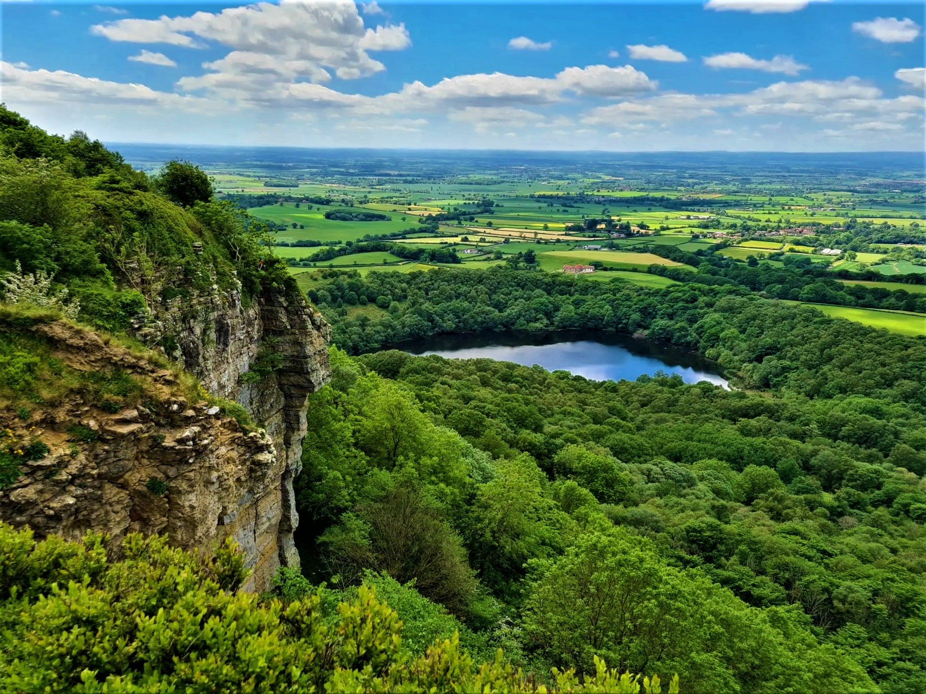
Moors, cliffs, and 'the finest view in England' – White Rose Walk
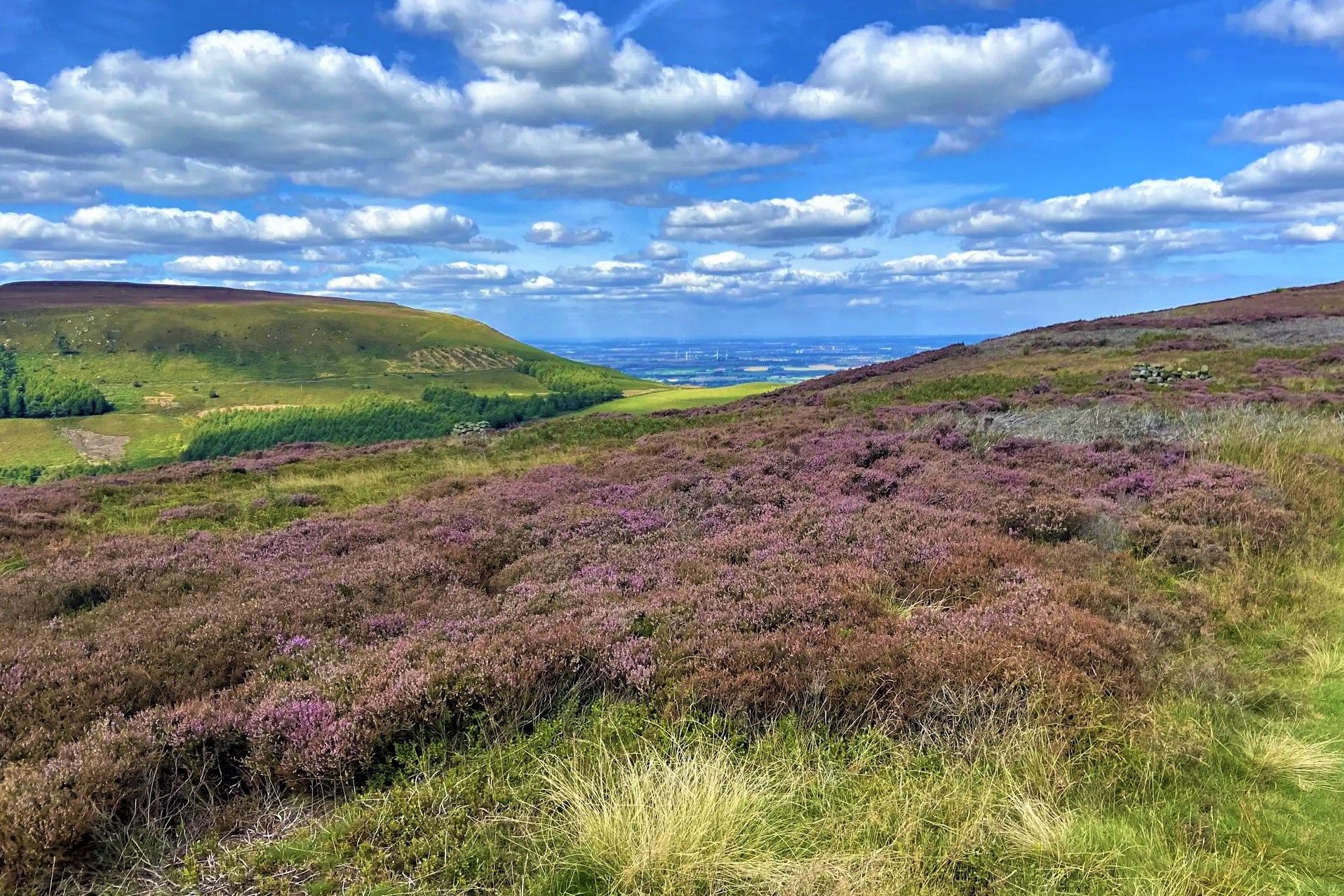
Purple heather, golden sand and classic hiking – North York Moors
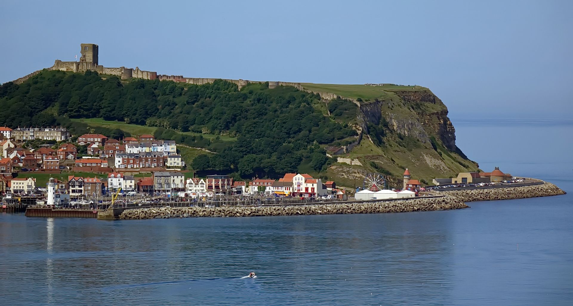
The North Sea Coast Cycle Route — England
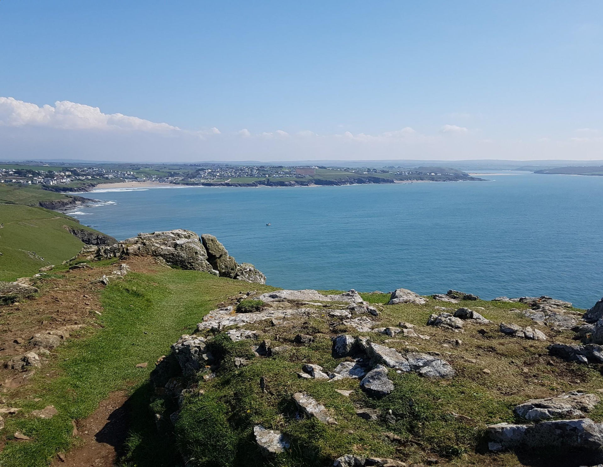
Trust10 – Trail Runs. In nature, for nature.
Around the edge in 80 days — cycling the coastline of Britain
Spectacular rides in Scotland and Northern England – e-bike trials by Halfords
Other adventures around Redcar and Cleveland


Tips from the Community


Challenging scramble up to this point , but lovely view and descent
0
0

A great looking bridge.
0
0

Until 1912, Roseberry Topping had a smooth, sugarloaf‑like peak. A geological fault combined with underground mining caused a massive collapse, giving the summit its modern jagged profile. The climb up from the car park is steep and can be very busy, even before sunrise in winter where you can see a small procession of torches slowly ascending.
1
0
Gribdale Gate is a small, free, 24‑hour Forestry England car park on Dikes Lane near Great Ayton, offering around 40 spaces and direct access to Roseberry Topping, Captain Cook’s Monument, and Coate Moor
1
0
Great views and early on a Sunday morning is best to beat the crowds. The obelisk is hollow and originally had a doorway you could walk through, before it was sealed during a 19th‑century restoration. A lightning strike in 1960 almost split the monument down the middle after the lightning conductor installed in 1895 rusted away. Earlier lightning strikes in the 19th century had already blown off the original doorway and obliterated the cast‑iron plaques. Fun fact - allegedly - the monument contains a hidden time capsule. When the foundation stone was laid in 1827, commemorative items were placed inside, including a portrait of Captain Cook and a glass plate etched with details of the event.
1
0

Directly in front of the monument, take a stroll about 30-50 paces and you will have some very decent views of the area!
0
0

Frequently Asked Questions
How many waterfall hiking trails are there in Redcar and Cleveland?
There are 8 dedicated waterfall hiking trails available in the Redcar and Cleveland area. These routes offer diverse experiences, from moderate walks to more challenging hikes, all featuring the region's natural cascades.
What is the general difficulty level of waterfall hikes in Redcar and Cleveland?
The majority of waterfall hikes in Redcar and Cleveland are rated as moderate, with 7 out of 8 trails falling into this category. There is also one more difficult route for those seeking a greater challenge. There are no easy-rated waterfall-specific trails listed.
Are there family-friendly waterfall walks in Redcar and Cleveland?
While all trails are rated moderate or difficult, many families enjoy the scenic beauty of the region's waterfalls. For a manageable loop, consider the Kildale Waterfall – Gribdale Gate Car Park loop from Great Ayton, which is about 4.2 miles long and offers a rewarding experience without extreme elevation.
Can I bring my dog on waterfall hikes in Redcar and Cleveland?
Yes, many waterfall trails in Redcar and Cleveland are dog-friendly. However, it's always recommended to keep dogs on a leash, especially near livestock, wildlife, or steep drops. Be mindful of other hikers and ensure your dog is well-behaved.
Is parking available at the trailheads for waterfall hikes?
Parking is generally available near the starting points of many trails. For example, the Kildale Waterfall – Gribdale Gate Car Park loop from Great Ayton explicitly mentions a car park in its name, indicating convenient access. Always check specific route details for parking information before you go.
When is the best time of year to experience the waterfalls in Redcar and Cleveland?
The waterfalls are often at their most impressive after periods of rain, typically during autumn and winter, or in early spring when snowmelt contributes to higher water levels. However, the trails are beautiful year-round, with each season offering a different perspective on the landscape.
What should I wear for waterfall hiking in Redcar and Cleveland?
Given the varied terrain and potential for wet conditions, sturdy waterproof hiking boots with good grip are essential. Layered clothing is advisable to adapt to changing weather, and a waterproof jacket is recommended. Consider bringing trekking poles for added stability on uneven paths.
Are there circular waterfall hiking routes in Redcar and Cleveland?
Yes, several waterfall hikes in the region are designed as circular routes, allowing you to start and end at the same point. Examples include the St Cuthbert's Church, Kildale – Kildale Waterfall loop from Kildale and the Kildale Waterfall – Gribdale Gate Car Park loop from Kildale.
What can I see along the waterfall hiking trails besides the cascades?
Beyond the waterfalls, you can explore diverse landscapes. Many trails offer views of prominent hills like Roseberry Topping Summit, or take you through scenic areas such as Newton Moor. You might also encounter natural monuments like Warsett Hill Trig Point Viewpoint, providing panoramic vistas.
Are there pubs or places to eat near the waterfall trails?
Yes, some routes pass by or are close to local establishments. For instance, the challenging Birch Hall Inn, Beck Hole – Mallyan Spout Waterfall loop from Egton starts near a well-known pub, offering a convenient spot for refreshments before or after your hike.
What do other hikers enjoy most about the waterfall trails in Redcar and Cleveland?
The waterfall trails in Redcar and Cleveland are highly regarded by the komoot community, boasting an average rating of 4.7 stars from over 500 reviews. Hikers frequently praise the region's mix of open moorland, wooded valleys, and the distinctive natural features like Roseberry Topping, alongside the refreshing beauty of the waterfalls themselves.
Are there any opportunities for wild swimming near the waterfalls?
While some waterfalls may have pools, wild swimming can be dangerous due to strong currents, hidden rocks, and cold water temperatures. It's generally not recommended unless specific, designated safe swimming spots are clearly marked and known. Always prioritize safety and check local regulations.
Most popular routes around Redcar and Cleveland
Most popular attractions around Redcar and Cleveland

Get inspired with the komoot mobile app


Explore more
Browse the best Hikes in other regions.
