The best mountain hikes around Straßlach-Dingharting
9
hikers
3
hikes
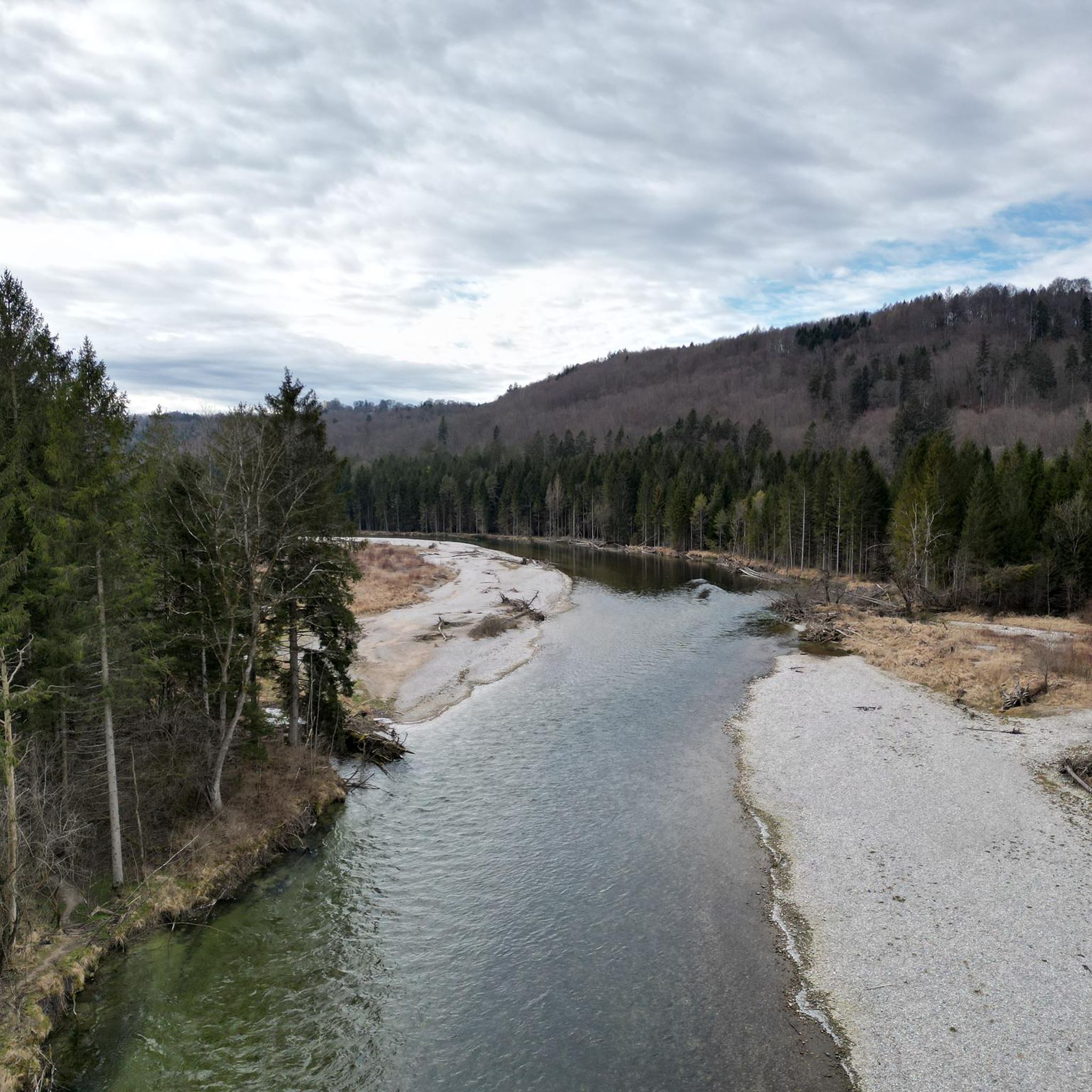
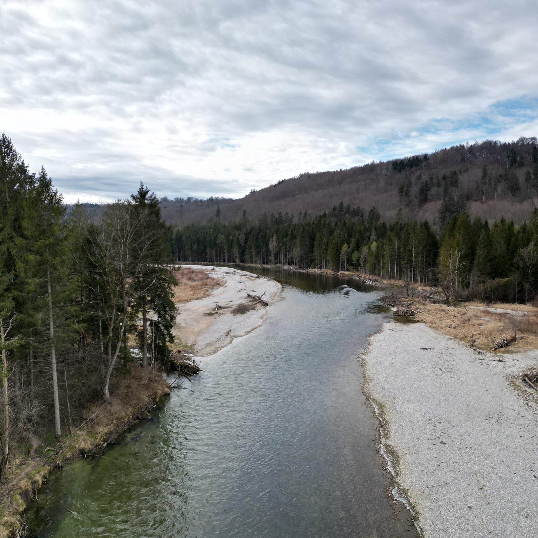
Mountaineering routes around Straßlach-Dingharting primarily traverse the scenic Isar river valley, featuring paths through dense woodlands and along the riverbanks. The terrain typically involves gentle ascents and descents, with routes often connecting historical points of interest and natural landmarks. This area provides varied landscapes suitable for robust hiking experiences.
Best mountaineering routes around Straßlach-Dingharting
- The most popular mountaineering route is Isar Riverside Trail – Georgenstein (St. George's Rock) loop from Grünwald, a 5.0 miles (8.1 km) trail that takes…
Last updated: September 26, 2026
4
hikers
Moderate mountaineering route. Good fitness required. Easily-accessible paths. Suitable for all skill levels.
2
hikers
11.8km
03:13
170m
180m
Moderate mountaineering route. Good fitness required. Easily-accessible paths. Suitable for all skill levels.

3
hikers
14.8km
03:55
140m
140m
Moderate mountaineering route. Good fitness required. Mostly accessible paths. Sure-footedness required.
11.7km
03:05
110m
110m
Moderate mountaineering route. Good fitness required. Easily-accessible paths. Suitable for all skill levels.
Our route recommendations are based on thousands of hikes, rides, and runs completed by other people on komoot.
Start today with a free account
Your next adventure awaits.
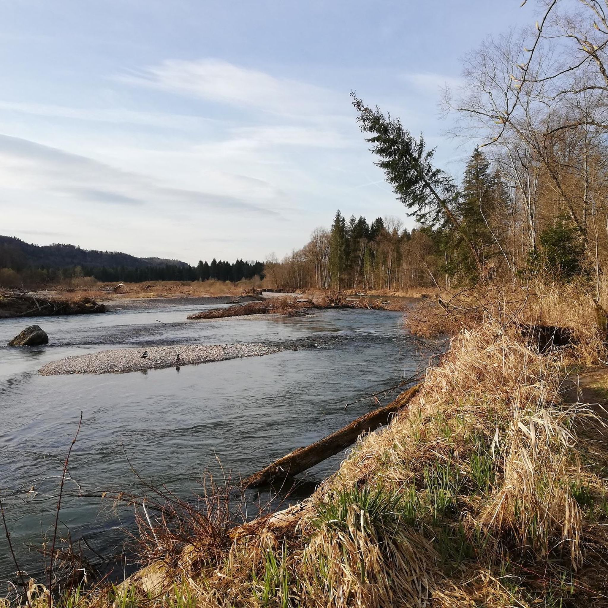
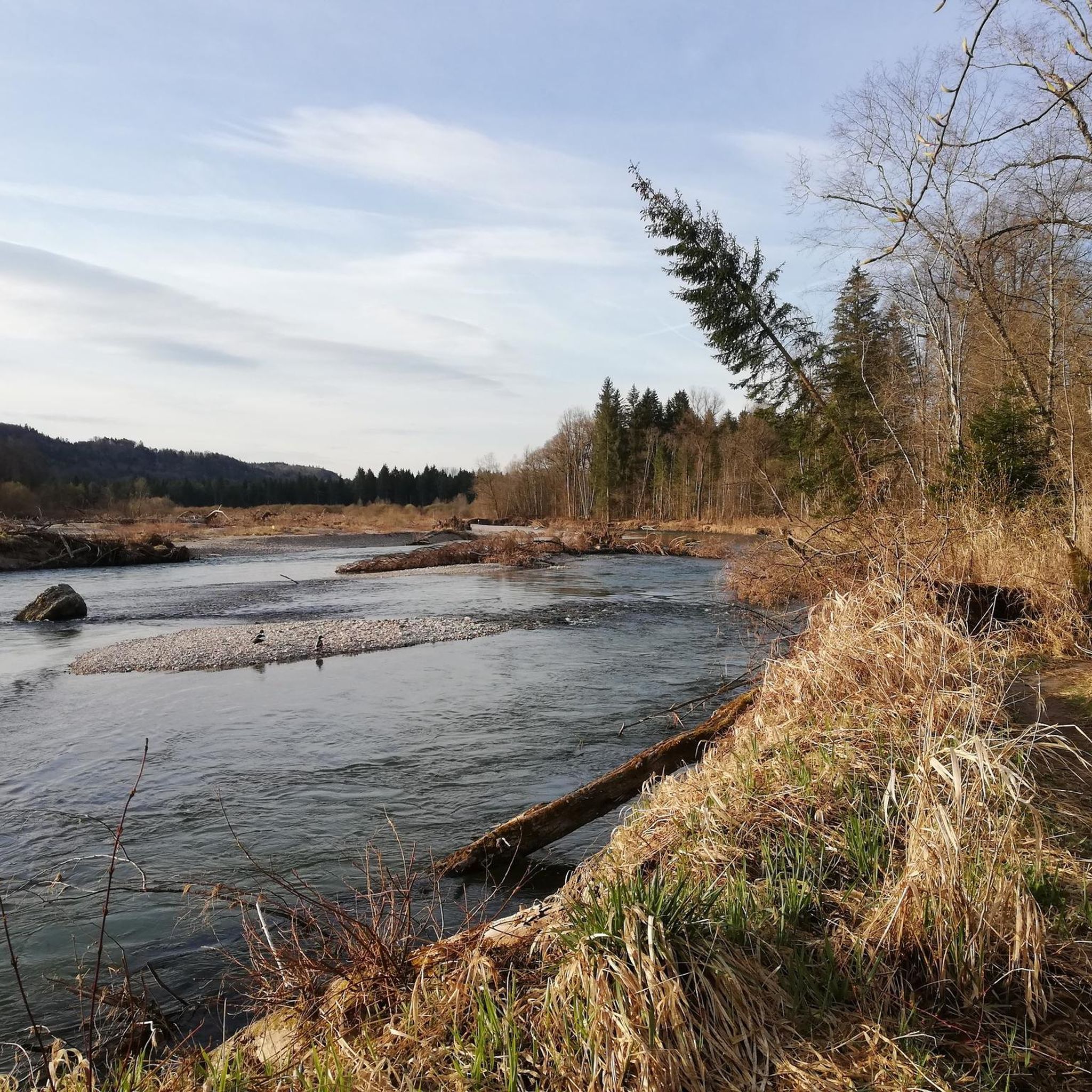
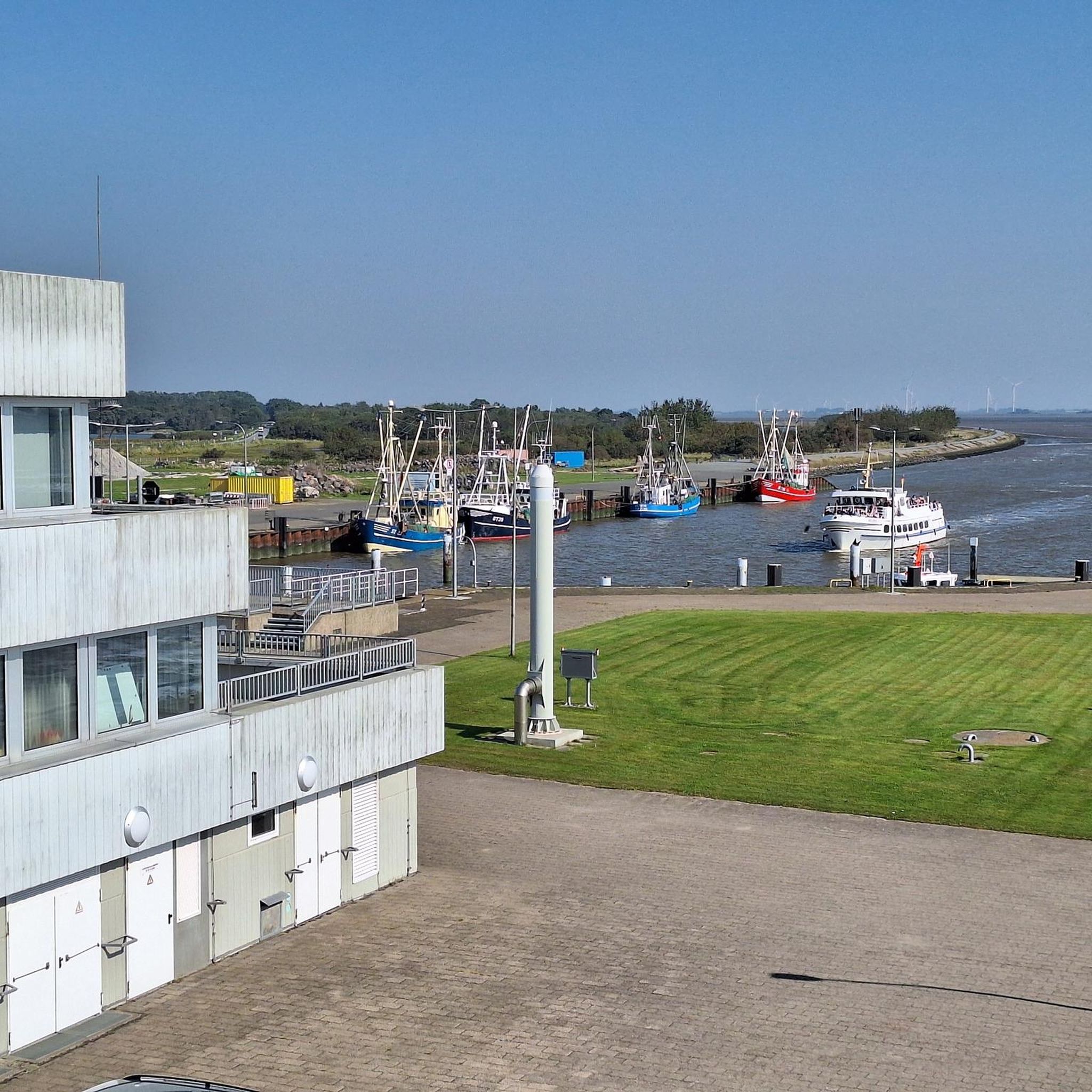
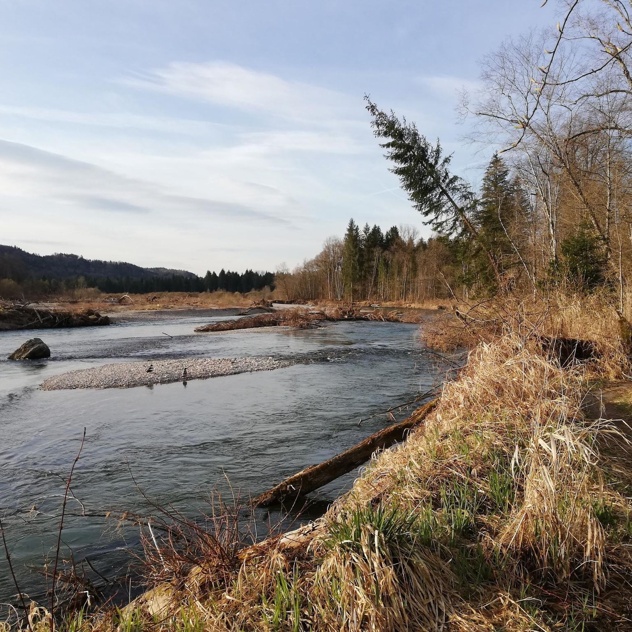
Tips from the Community


It's a great place for hiking.
0
0

Wolfratshausen S-Bahn station (S7) – a remix of an existing highlight. Same location, same station, but now with a parenthetical addition so it qualifies as "new" and gets another point added to the Komoot map. Actually impressive: Sometimes all it takes is "(S7)" to secure a second chance at likes.
0
0

19th-century railway technology
0
0

Small chapel of St. Anne above Berg
2
0

From there you have a magnificent view of the lake.
0
0
A very small but interesting chapel
0
0

Berg Castle in Berg on Lake Starnberg. Unfortunately, almost nothing can be seen from the land side.
0
0
Frequently Asked Questions
Are there any easy mountaineering routes suitable for beginners around Straßlach-Dingharting?
The mountaineering routes in Straßlach-Dingharting are generally classified as moderate, offering gentle ascents and descents through the Isar river valley and woodlands. While there are no routes specifically labeled 'easy' in this guide, the moderate trails are often manageable for beginners with a reasonable level of fitness. For example, the Isar Riverside Trail – Georgenstein (St. George's Rock) loop from Grünwald is a good introduction, being the shortest at 8.1 km.
What is the typical length and duration of mountaineering trails in this area?
Mountaineering trails around Straßlach-Dingharting typically range from approximately 8 to 14 kilometers in length. You can expect routes to take between 2 hours 10 minutes and 3 hours 37 minutes to complete, depending on the specific trail and your pace. For instance, the Marien Bridge – Icking Weir loop from Wolfratshausen is one of the longer options at 13.8 km.
Are there family-friendly mountaineering options in Straßlach-Dingharting?
Yes, the moderate nature of the trails and the scenic river valley environment make many routes suitable for families. Paths often follow the Isar river and pass through woodlands, providing a pleasant experience for children who are used to walking. The Isar Riverside Trail – Georgenstein (St. George's Rock) loop from Grünwald is a popular choice for its manageable length and interesting rock formation.
Can I bring my dog on the mountaineering routes around Straßlach-Dingharting?
Most mountaineering routes in the Straßlach-Dingharting area are dog-friendly, offering plenty of natural spaces for your canine companion. The trails often follow riverbanks and woodland paths, which are ideal for dogs. Always ensure your dog is on a leash where required, especially near wildlife or other hikers, and carry waste bags. The Bismarck Tower Assenhausen – Berg Castle loop from Berg offers varied terrain that dogs typically enjoy.
What are the best seasons for mountaineering in Straßlach-Dingharting?
The Straßlach-Dingharting region is beautiful for mountaineering throughout much of the year. Spring and autumn offer pleasant temperatures and vibrant scenery, with changing foliage in the woodlands. Summer is also popular, though it can be warmer. Winter mountaineering is possible, but conditions can vary; trails may be muddy or icy, so appropriate gear is essential. Always check local weather conditions before heading out.
Are there circular mountaineering routes available?
Yes, all the featured mountaineering routes in this guide are circular, allowing you to start and end at the same point without needing to arrange transport back. This includes popular options like the Isar Riverside Trail – Georgenstein (St. George's Rock) loop from Grünwald and the Icking Weir – Isar Power Canal loop from Kloster Schäftlarn.
What interesting landmarks or attractions can I see along the mountaineering routes?
The mountaineering routes often connect with historical points of interest and natural landmarks. Along your journey, you might encounter sights like the notable Georgenstein rock formation on the Isar Riverside Trail. Other nearby attractions include the Großhesseloher Bridge, offering scenic views over the Isar, and various sections of the Würm River, known for its picturesque riverbanks and surrounding forests.
Are there opportunities for wildlife spotting while mountaineering?
Given the routes traverse dense woodlands and riverbanks, there are good opportunities for wildlife spotting. Keep an eye out for various bird species, small mammals, and other local fauna that inhabit the Isar river valley and surrounding forests. Early mornings or late afternoons are often the best times for observing wildlife.
What do other mountaineers enjoy most about the routes in Straßlach-Dingharting?
Mountaineers using komoot frequently praise the varied terrain, which includes scenic river valleys, dense woodlands, and gentle rolling hills. The well-maintained paths and the opportunity to connect with nature are often highlighted. The presence of historical points of interest and natural landmarks also adds to the appeal, making for a rich and engaging outdoor experience.
Are there any mountaineering routes that include a pub or restaurant stop?
While specific pub stops are not detailed for every route, the region around Straßlach-Dingharting and the towns near the trailheads (like Grünwald, Berg, or Wolfratshausen) offer various dining options. Many local establishments are accustomed to hikers. It's advisable to check local listings or plan your route to pass through a village with amenities if you wish to include a refreshment stop.
How many mountaineering routes are available in Straßlach-Dingharting?
This guide features 4 distinct mountaineering routes around Straßlach-Dingharting, all of which are classified as moderate. These routes showcase the diverse landscapes of the Isar river valley, woodlands, and historical points of interest.
Most popular routes around Straßlach-Dingharting
Most popular attractions around Straßlach-Dingharting

Get inspired with the komoot mobile app


Explore more
Browse the best Mountain Hikes & Routes in other regions.
