The best mountain hikes around Katsdorf
5.0
(1)
11
hikers
3
hikes
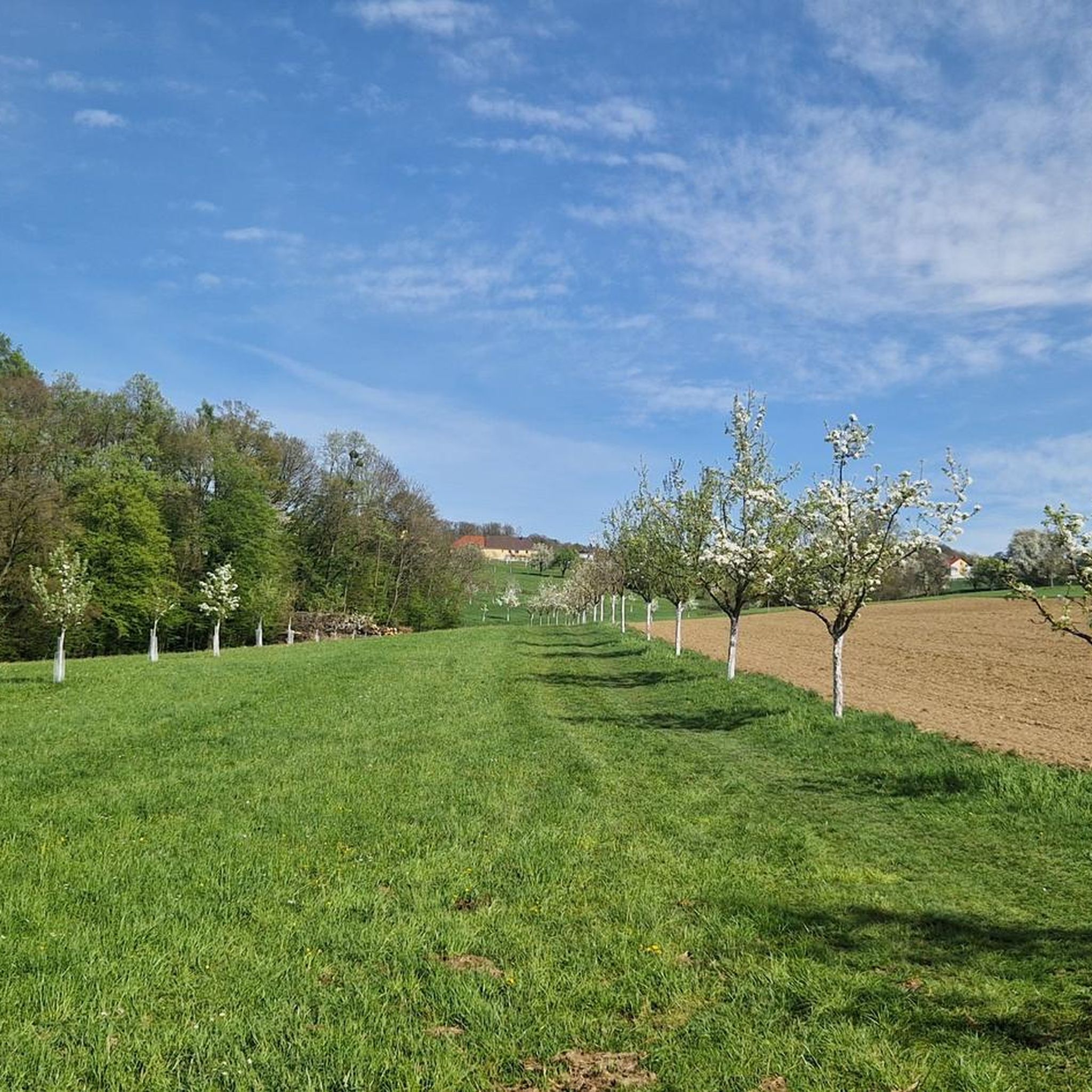
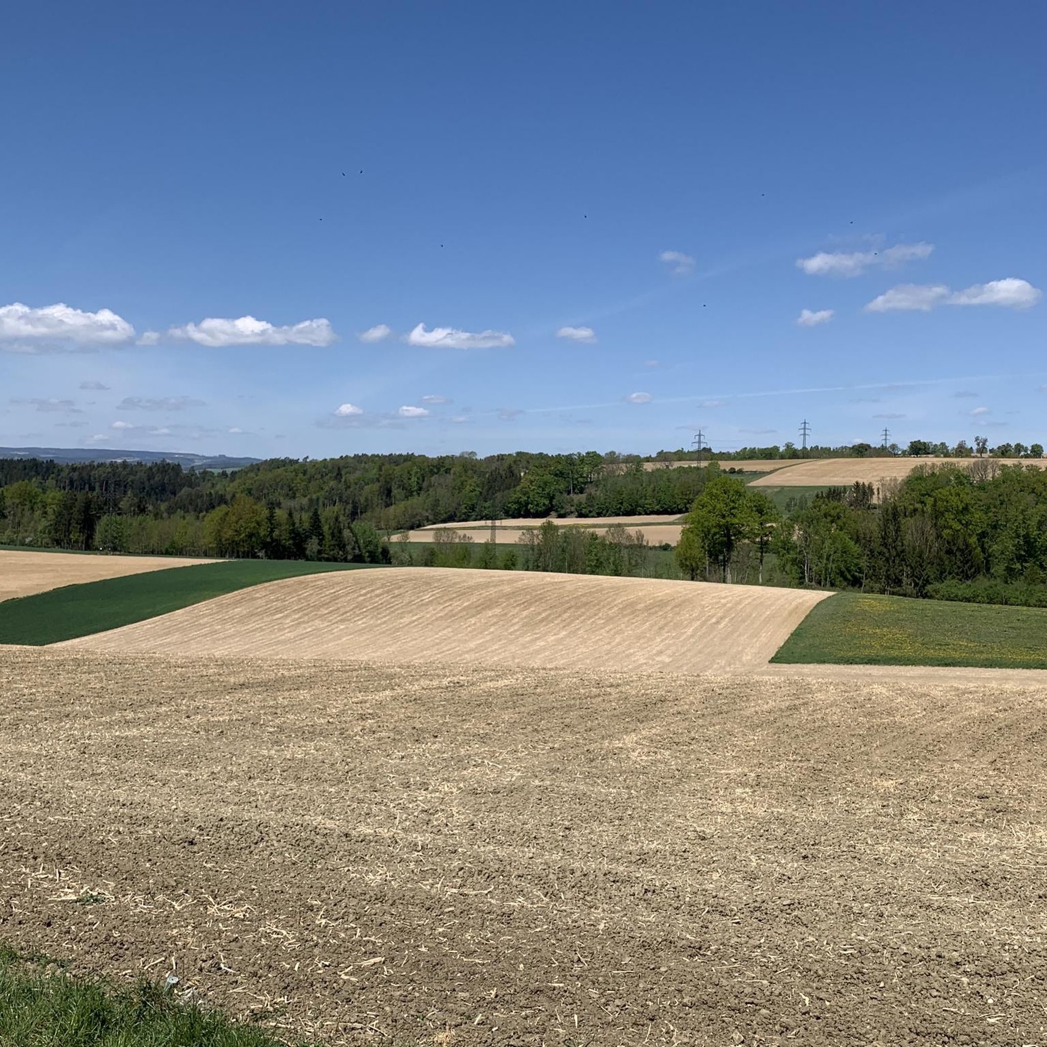
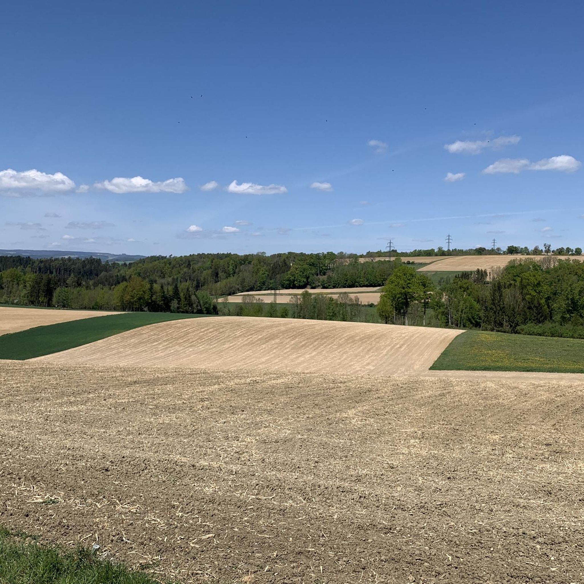
Mountaineering routes around Katsdorf are situated within a landscape characterized by rolling hills and extensive green forests in the Perg district of Austria. The region features elevations such as the Weltstein at 478 meters and the Pfenningberg, offering varied terrain for outdoor activities. While the area provides opportunities for challenging mountain tours, these are primarily strenuous hikes rather than technical mountaineering requiring specialized equipment. The Danube River also forms a significant natural feature, with paths along its banks.
Best mountaineering…
Last updated: October 9, 2026
4
hikers
8.93km
02:51
360m
360m
Moderate mountaineering route. Good fitness required. Easily-accessible paths. Suitable for all skill levels.
2
hikers
Easy mountaineering route. Great for any fitness level. Easily-accessible paths. Suitable for all skill levels.

5.0
(1)
2
hikers
12.1km
03:31
300m
300m
Moderate mountaineering route. Good fitness required. Easily-accessible paths. Suitable for all skill levels.
Our route recommendations are based on thousands of hikes, rides, and runs completed by other people on komoot.
Start today with a free account
Your next adventure awaits.

Tips from the Community

The trail doesn't lead to Steyr, of course, but towards Steyregg 🤪
0
0

Warning: Komoot is once again providing completely incorrect data. Please use the operator's website if you want to mountain bike safely and legally: https://uppertrails.at/trails/pfenningberg-trails/
0
0

Wonderful circular hike away from the hustle and bustle in the hilly Mühlviertel landscape. The legend of the devil (information board at the summit cross) is really brilliant, a clever farmer😜
2
1

The observation tower and vault are only open during the summer months. Otherwise, the ruins are freely accessible all year round.
3
2
Such rock formations are more commonly found further north in the Mühlviertel region. A great destination for a day trip that is easy to reach or can be explored via a beautiful circular hiking trail: https://www.komoot.com/de-de/tour/2058392409
2
3

A beautiful chapel with frescoes can be found below the World Stone
0
0
A Linz city summit for every season and every type of weather.
2
0

There are always great exhibitions in the castle.
1
0
Frequently Asked Questions
What kind of terrain can I expect on mountaineering routes around Katsdorf?
The routes around Katsdorf are characterized by rolling hills and extensive green forests, typical of the foothills of the Alps in northern Austria. You'll find varied terrain, including ascents to elevations like the Weltstein and Pfenningberg, and paths offering views of the Danube River. While described as 'challenging mountain tours,' these are primarily strenuous hikes rather than technical mountaineering requiring specialized equipment.
How many mountaineering routes are available in the Katsdorf area?
There are several mountaineering routes around Katsdorf, with komoot featuring at least 4 distinct tours. These range from easy strolls to more moderate ascents, ensuring options for various fitness levels.
Are there any easy or family-friendly mountaineering routes in Katsdorf?
Yes, Katsdorf offers easy routes suitable for beginners or families. For instance, the Pfenningberg Summit Cross – Three Beeches Cross loop from Glider airfield Linz-East is an easy 2.7 km path with a manageable 102 meters of elevation gain, offering a more accessible option to enjoy the landscape.
What are some longer or more challenging mountaineering routes in the region?
For those seeking a more challenging experience, the Three Beeches Cross – Pfenningberg Summit Cross loop from Steyregg is a moderate 8.9 km trail with an elevation gain of 363 meters, typically taking around 2 hours 50 minutes. Another moderate option is the Weltstein – Schwertberg Castle loop from Schwertberg, which covers 12.1 km and includes the prominent Weltstein elevation.
Are there circular mountaineering routes around Katsdorf?
Yes, many of the routes around Katsdorf are designed as circular loops, allowing you to start and end at the same point. Examples include the Three Beeches Cross – Pfenningberg Summit Cross loop from Steyregg and the Weltstein – Schwertberg Castle loop from Schwertberg, providing convenient exploration options.
When is the best time of year to go mountaineering in Katsdorf?
The best seasons for hiking and mountaineering in Katsdorf are spring and autumn. During these times, the weather is mild, and nature displays vibrant colors—blooming meadows in spring and a spectrum of red, orange, and yellow leaves in autumn, making for particularly scenic tours.
Are there any routes with scenic views or notable landmarks?
Absolutely. Many routes offer scenic views, particularly from elevated points like the Pfenningberg Summit Cross and the Weltstein. The Three Beeches Cross – Pfenningberg Summit Cross loop from Pleschinger Austernbank is an easy route that provides beautiful vistas. Additionally, you might encounter highlights such as the Three Beeches Cross itself.
What natural attractions or points of interest can I find near the mountaineering routes?
Beyond the routes themselves, the Katsdorf area boasts several natural attractions. You can explore the Aist Valley, discover the Silberbach Mini Gorge Waterfalls, or visit the scenic Kettenbachtal Valley and Naarntal gorges. The Danube River also offers opportunities for scenic walks along its banks.
Is there public transport access to the trailheads around Katsdorf?
While specific public transport details for each trailhead vary, Katsdorf is part of a well-connected region. It's advisable to check local bus or train schedules for connections to villages near your chosen trailhead, such as Steyregg or Schwertberg, to plan your journey effectively.
What do other mountaineers say about the routes in Katsdorf?
The komoot community highly rates the mountaineering routes around Katsdorf, with an average score of 5.0 stars. Users often praise the quiet woodlands, varied terrain, and the rewarding views from summits like the Pfenningberg and Weltstein, making for a fulfilling outdoor experience.
Are there any routes that pass by cafes or places to eat?
While specific cafes directly on every route are not detailed, many routes start or pass through villages like Steyregg or Schwertberg, where you can typically find local eateries or cafes to refuel before or after your tour. It's a good idea to check local amenities in the starting village of your chosen route.
Can I bring my dog on the mountaineering routes in Katsdorf?
Generally, dogs are welcome on hiking and mountaineering trails in Austria, provided they are kept on a leash and you clean up after them. It's always recommended to check specific local regulations or nature reserve rules for any restrictions on individual routes before heading out with your canine companion.
Most popular routes around Katsdorf
Most popular attractions around Katsdorf

Get inspired with the komoot mobile app


Explore more
Browse the best Mountain Hikes & Routes in other regions.
