The best mountain hikes around Alberndorf in der Riedmark
32
hikers
7
hikes
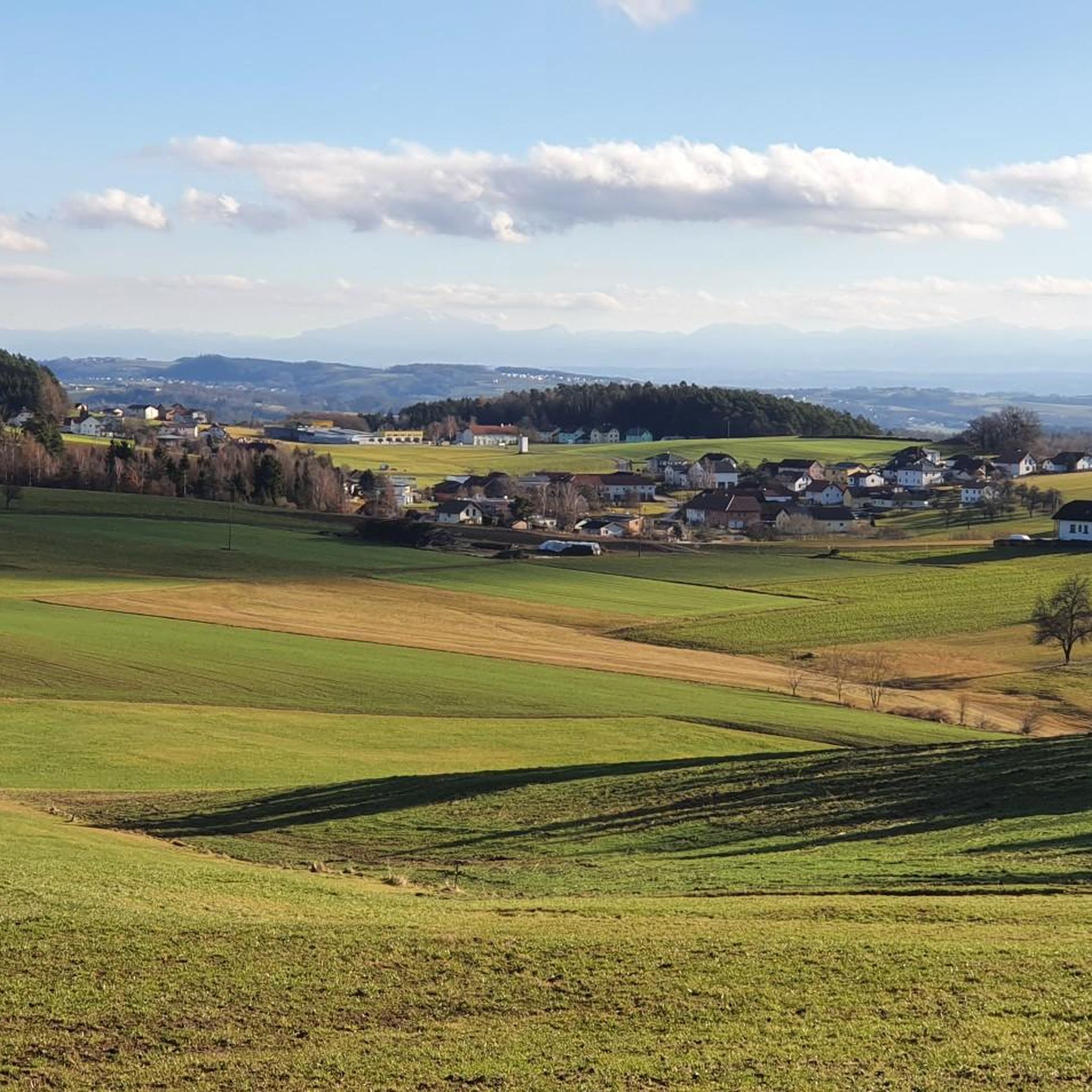
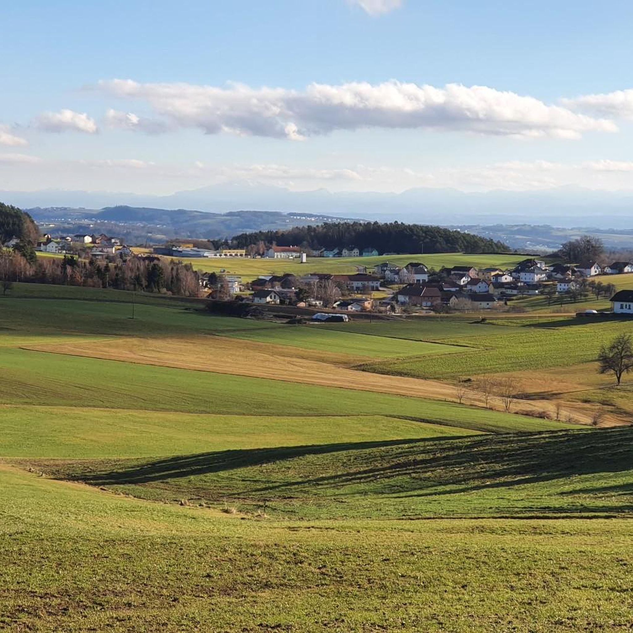
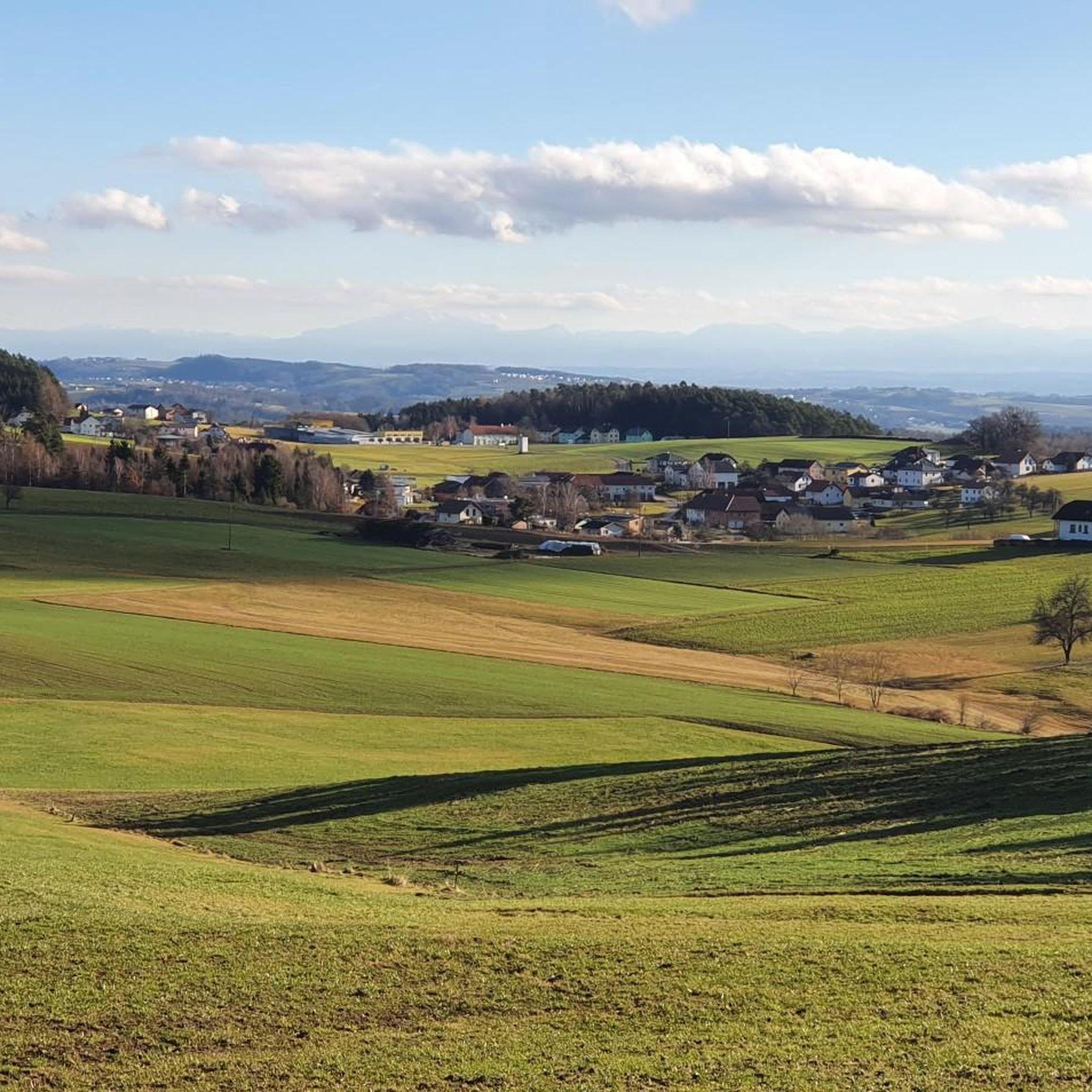
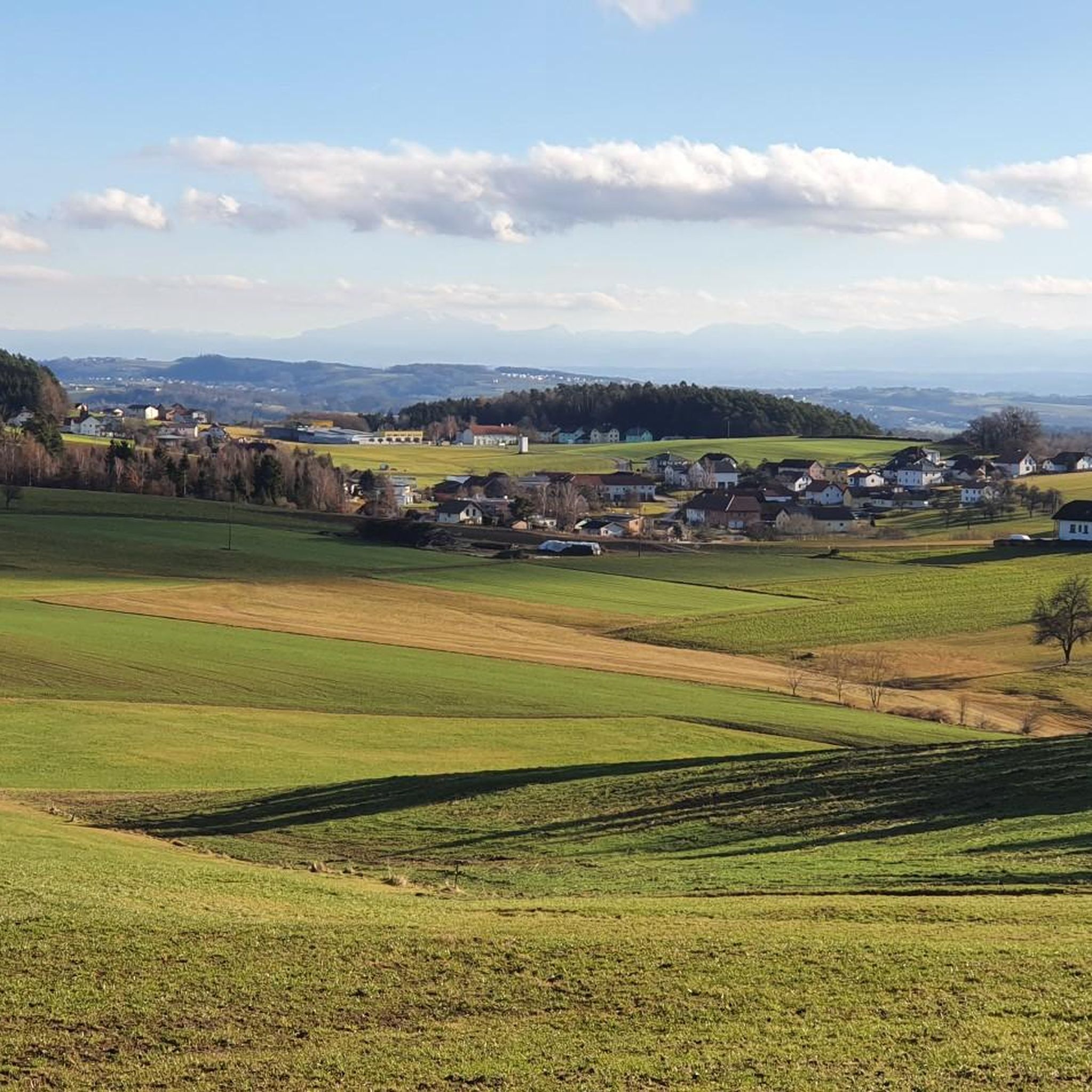
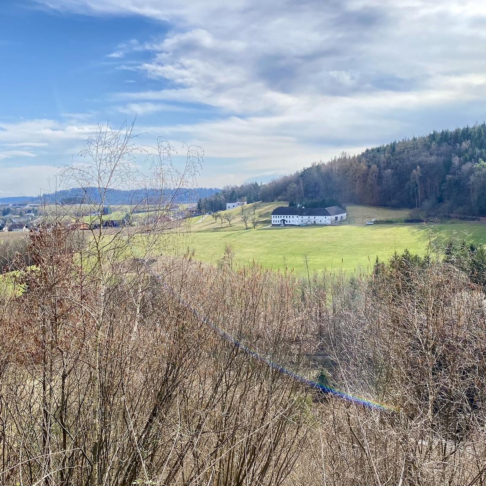
Mountaineering routes around Alberndorf in der Riedmark traverse a landscape characterized by rolling hills, lush green meadows, and diverse natural features within Austria's Urfahr-Umgebung district. Elevations range from 360 meters in the Große Gusen valley to 760 meters at its highest points, offering varied terrain for mountain hiking. The region features mixed forests, wet forests, and natural valleys, providing a setting for strenuous hiking and hillwalking.
Best mountaineering routes around Alberndorf in der Riedmark
- The most popular mountaineering route is…
Last updated: July 6, 2026
14
hikers
16.6km
05:11
660m
660m
Hard mountaineering route. Very good fitness required. Easily-accessible paths. Suitable for all skill levels.
5
hikers
8.99km
02:45
320m
320m
Moderate mountaineering route. Good fitness required. Easily-accessible paths. Suitable for all skill levels.

Sign up for free
4
hikers
8.93km
02:51
360m
360m
Moderate mountaineering route. Good fitness required. Easily-accessible paths. Suitable for all skill levels.
6
hikers
Moderate mountaineering route. Good fitness required. Easily-accessible paths. Suitable for all skill levels.
3
hikers
Moderate mountaineering route. Good fitness required. Easily-accessible paths. Suitable for all skill levels.
Get access to more routes and recommendations from other explorers.
Sign up for free
Already have an account?
Our route recommendations are based on thousands of hikes, rides, and runs completed by other people on komoot.
Start today with a free account
Your next adventure awaits.
Login or Signup
Popular around Alberndorf in der Riedmark

Tips from the Community

The summit cross on the Gis (Lichtenberg) was completely renewed and re-consecrated in June 2026!
3
0
Giselawarte was built in 1856 and named after Princess Gisela, a daughter of Emperor Franz Joseph. In 1960, it was increased by two stories.
3
0
Built in 1856 and named after Princess Gisela, a daughter of Emperor Franz Joseph. In 1960, two stories were added.
3
0

Built in 1856, the Giselawarte is located at 927m above sea level.
0
0

The trail doesn't lead to Steyr, of course, but towards Steyregg 🤪
0
0

Transmitter near Lichtenberg
6
0
Cross at the Gisela Tower
6
0
Frequently Asked Questions
What is the general difficulty level of mountaineering routes in Alberndorf in der Riedmark?
The mountaineering routes in Alberndorf in der Riedmark primarily cater to mountain hiking and hillwalking, ranging from easy to moderate. While some routes are classified as 'difficult' due to elevation gain and length, they generally involve strenuous hiking rather than technical climbing. There are 2 easy routes and 6 moderate routes available, offering options for various fitness levels.
Are there easy mountaineering routes suitable for beginners in Alberndorf in der Riedmark?
Yes, beginners can find suitable routes. For instance, the Pfenningberg Summit Cross – Three Beeches Cross loop from Glider airfield Linz-East is an easy option, covering 2.7 km and taking about 50 minutes. This route offers a gentle introduction to the region's beautiful landscapes.
What scenic viewpoints or attractions can I expect to see along the routes?
Many routes offer picturesque views and pass by notable attractions. You might encounter the Hoh-Haus at Buchberg Observation Tower, which provides panoramic outlooks, or the Three Beeches Cross. The Pfenningberg Summit Cross also offers stunning views, especially towards Linz on clear days. The region itself is characterized by rolling hills, lush meadows, and diverse forests, including the ecological richness of the Roadlberg Nature Reserve.
Are there family-friendly mountaineering routes around Alberndorf in der Riedmark?
Yes, several routes are suitable for families, especially those classified as easy or moderate. These trails often wind through gentle hills and forests, providing an enjoyable experience for all ages. The Hoh-Haus at Buchberg Observation Tower is a particularly family-friendly attraction that can be incorporated into a hike.
Can I bring my dog on the mountaineering trails in Alberndorf in der Riedmark?
Generally, dogs are welcome on the hiking trails in Alberndorf in der Riedmark. It's always a good idea to keep your dog on a leash, especially in nature reserves or near livestock, and to carry water for them. Please be mindful of local regulations and other hikers.
What is the typical duration of mountaineering routes in the area?
The duration of routes varies significantly. Shorter, easy routes like the Pfenningberg Summit Cross – Three Beeches Cross loop can be completed in under an hour. Moderate routes, such as the Buchberg – Elzer Stub'n loop from Kefermarkt, typically take around 2 hours 45 minutes. Longer, more challenging routes can extend to over 5 hours.
Are there circular mountaineering routes available?
Yes, many of the mountaineering routes in Alberndorf in der Riedmark are designed as circular loops, allowing you to start and end at the same point. An example is the Pfenningberg Summit Cross – Finstergrabenbach Bike Route loop from Johannes Kepler University Linz, which offers a varied experience through forested areas.
Are there places to eat or rest along the mountaineering trails?
Yes, the region offers options for refreshments. The Zur Gis Inn is a popular stop for hikers, known for its 'hut character' and guest garden with views, making it an excellent resting point after an active day. Other inns and restaurants like Pelmbergstüberl and Roadlhof Inn are also available in the wider area.
What kind of landscape defines the mountaineering experience in Alberndorf in der Riedmark?
The landscape is characterized by its serene and diverse natural beauty. You'll find soft, rolling hills, expansive green meadows, and mixed forests. The region's topography includes elevations from 360 meters in the Große Gusen valley to 760 meters at its highest points, offering varied terrain for exploration. Features like the Roadlberg Nature Reserve highlight the area's rich ecological diversity.
How many mountaineering routes are available in Alberndorf in der Riedmark?
There are 8 distinct mountaineering routes detailed for Alberndorf in der Riedmark, offering a range of experiences from easy strolls to more strenuous hikes. These routes are part of a larger network of over 800 tours for various outdoor activities in the region.
What is a good moderate mountaineering route to explore the region?
A great moderate option is the Three Beeches Cross – Pfenningberg Summit Cross loop from Steyregg. This 8.9 km route takes approximately 2 hours 50 minutes and features a significant elevation gain, leading you through varied terrain and offering rewarding views from the Pfenningberg Summit Cross.
Most popular routes around Alberndorf in der Riedmark
Most popular attractions around Alberndorf in der Riedmark

Get inspired with the komoot mobile app


Explore more
Browse the best Mountain Hikes & Routes in other regions.
