The best mountain hikes around Goldwörth
28
hikers
6
hikes
Mountaineering around Goldwörth offers a landscape characterized by rolling hills, dense forests, and scenic river valleys, providing varied terrain for outdoor exploration. The region, situated in Upper Austria, features moderate elevations suitable for day trips. These routes often lead through woodlands and open areas, with occasional viewpoints.
Best mountaineering routes around Goldwörth
- The most popular mountaineering route is Prinzenweg viewing point – Kürnbergkreuz loop from Leonding, an 8.8 miles (14.2 km) trail that takes 4 hours 15 minutes to…
Last updated: July 6, 2026
8
hikers
14.2km
04:15
350m
350m
Moderate mountaineering route. Good fitness required. Mostly accessible paths. Sure-footedness required.
9
hikers
7.74km
02:12
180m
180m
Moderate mountaineering route. Good fitness required. Easily-accessible paths. Suitable for all skill levels.

Sign up for free
6
hikers
13.2km
04:00
340m
340m
Moderate mountaineering route. Good fitness required. Mostly accessible paths. Sure-footedness required.
2
hikers
8.65km
02:40
310m
310m
Moderate mountaineering route. Good fitness required. Easily-accessible paths. Suitable for all skill levels.
2
hikers
16.5km
04:56
520m
520m
Moderate mountaineering route. Good fitness required. Easily-accessible paths. Suitable for all skill levels.
Our route recommendations are based on thousands of hikes, rides, and runs completed by other people on komoot.
Start today with a free account
Your next adventure awaits.
Login or Signup

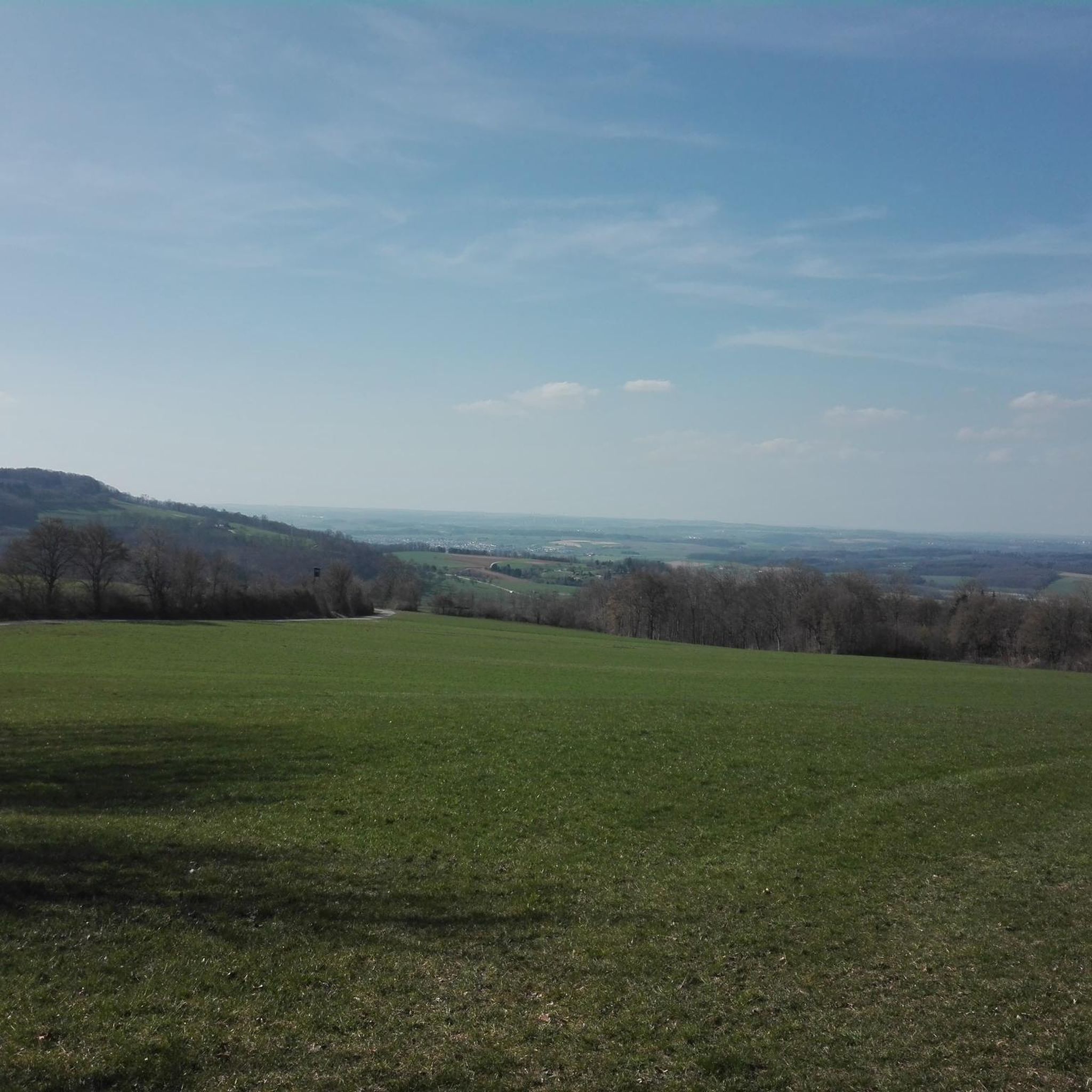
Tips from the Community

The summit cross on the Gis (Lichtenberg) was completely renewed and re-consecrated in June 2026!
3
0
The Giselawarte was built in 1856 and named after Princess Gisela, a daughter of Emperor Franz Joseph. In 1960, it was extended by two floors.
3
0
Giselawarte was built in 1856 and named after Princess Gisela, a daughter of Emperor Franz Joseph. In 1960, it was increased by two stories.
3
0
Built in 1856 and named after Princess Gisela, a daughter of Emperor Franz Joseph. In 1960, two stories were added.
3
0

There must have been a little emergency landing there 🤣
0
0
Great trail, only the railings could do with a repair.
0
0
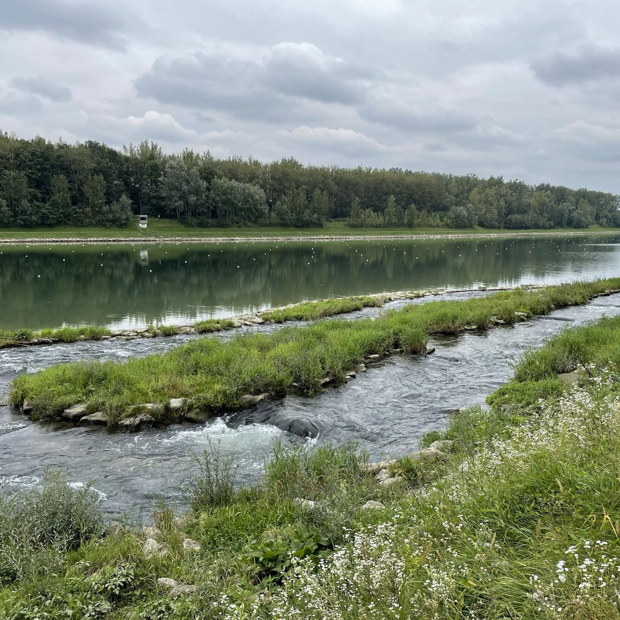
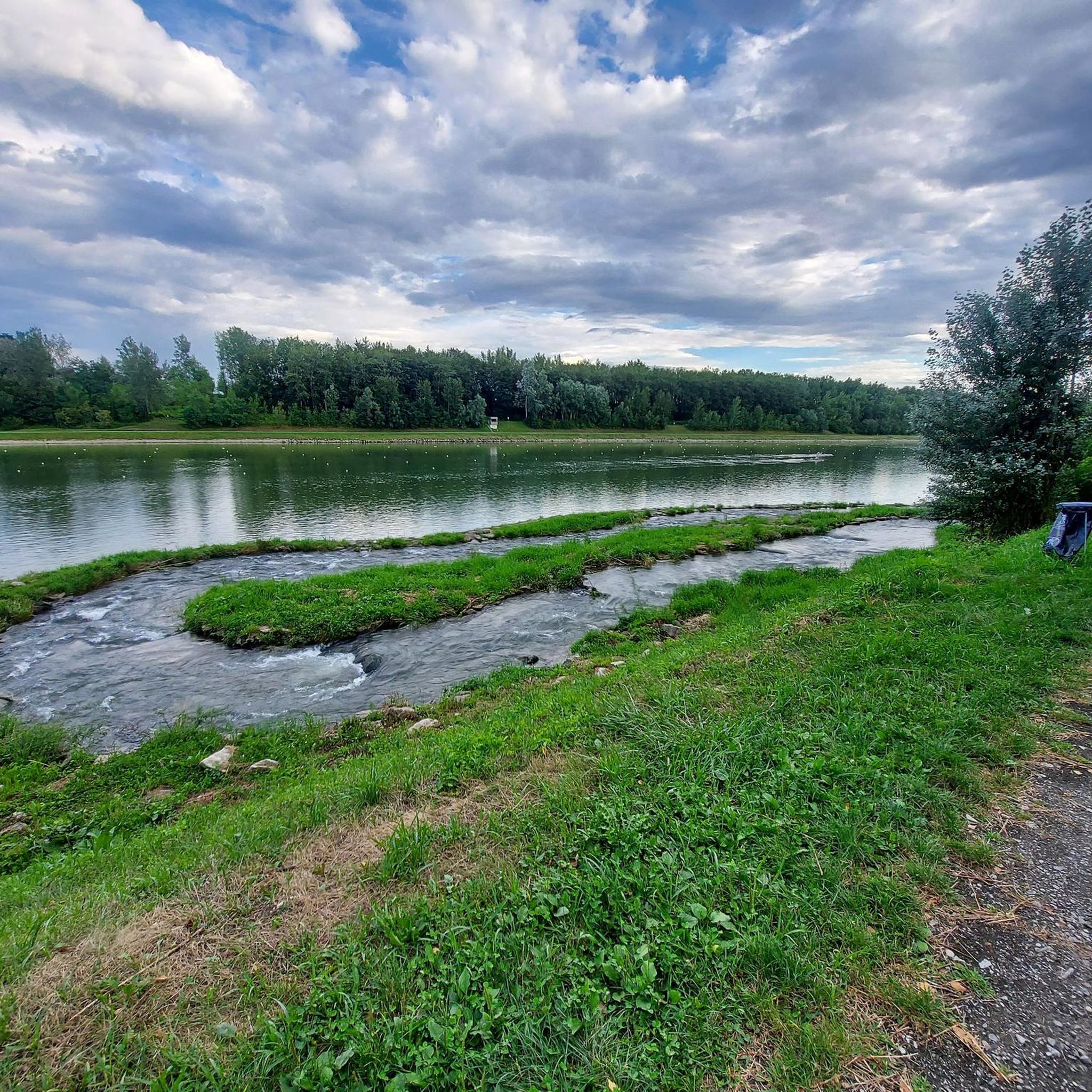
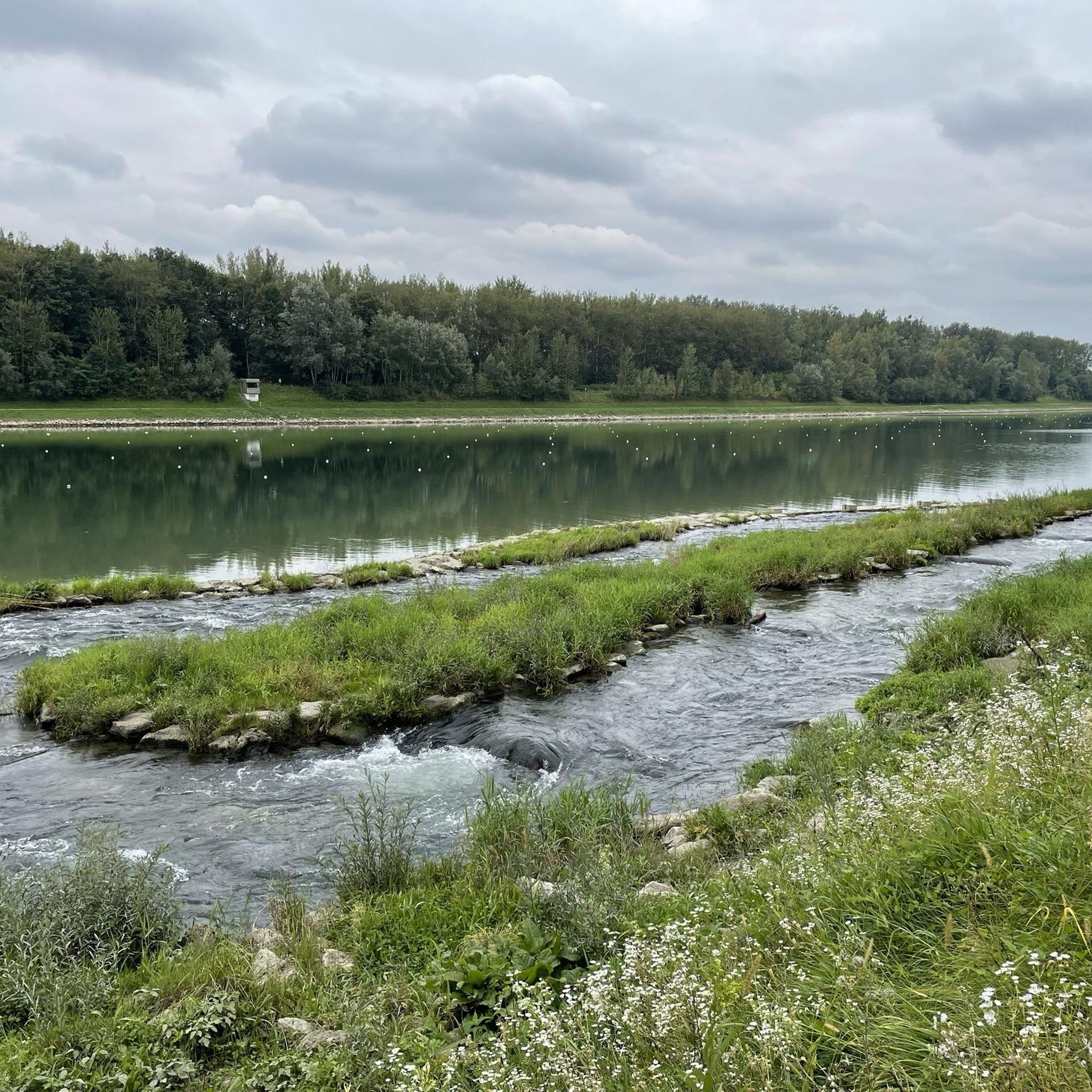
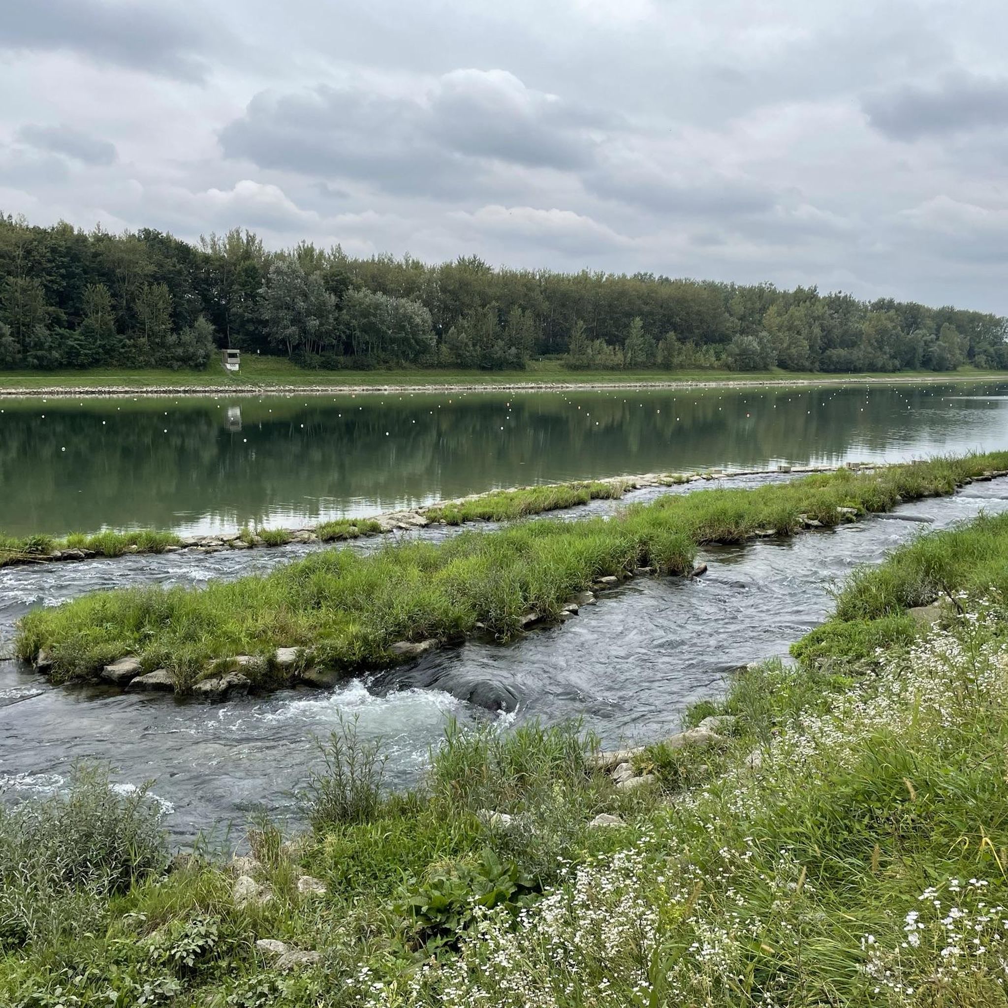
Beautiful what nature can create
0
0

Frequently Asked Questions
What is the general difficulty level of mountaineering routes around Goldwörth?
The mountaineering routes in this guide around Goldwörth are primarily of moderate difficulty. This means they are suitable for hikers with a reasonable level of fitness and some experience, offering a good balance of challenge and enjoyment.
Are there any easy or beginner-friendly mountaineering routes in Goldwörth?
While all routes in this guide are rated as moderate, the region's rolling hills and well-maintained paths make them accessible for beginners looking for a slightly longer day out, provided they have basic fitness. There are no routes specifically classified as 'easy' in this selection.
Can families with children enjoy mountaineering around Goldwörth?
Yes, many of the moderate routes can be suitable for families with older children who are accustomed to longer walks. For example, the Green Pond – Pesenbachsteig Trail loop from Ruine Oberwallsee is a shorter option at 4.8 miles (7.7 km) that winds through tranquil forested areas, offering a pleasant experience for active families.
Are the mountaineering routes around Goldwörth circular?
Yes, all the mountaineering routes featured in this guide are designed as loops, allowing you to start and finish at the same point without needing to arrange transport back to your starting location.
Which routes offer the best views around Goldwörth?
For expansive vistas, consider the Prinzenweg viewing point – Kürnbergkreuz loop from Leonding or the Prinzenweg viewing point – Kürnbergkreuz loop from Ottensheim. Both routes lead to a viewing point with broad scenic outlooks over the surrounding landscape.
What kind of terrain can I expect on these mountaineering routes?
The routes around Goldwörth typically traverse rolling hills, dense woodlands, and scenic river valleys. You'll encounter a mix of forest paths and open areas, with moderate ascents and descents characteristic of the Upper Austrian landscape.
What are some interesting natural attractions or landmarks near the mountaineering routes?
The region offers several natural highlights. You can explore the Pesenbachsteig Trail, which is part of the Green Pond – Pesenbachsteig Trail loop, or visit the tranquil Green Pond itself. Other nearby natural features include the Aschach Valley and the Bleicherbach Valley.
When is the best time of year for mountaineering in Goldwörth?
The best time for mountaineering around Goldwörth is generally from spring through autumn (April to October). During these months, the weather is typically mild, and the trails are clear, offering pleasant conditions for exploring the region's forests and hills.
Are there any longer or more challenging moderate routes for experienced mountaineers?
For those seeking a longer moderate challenge, the Koglerau – Koglerauer Spitz loop from Gramastetten is the longest route in this guide, covering 10.3 miles (16.5 km) with over 500 meters of elevation gain, providing a more extended day out in the hills.
What should I consider regarding weather and gear for mountaineering in Goldwörth?
Even on moderate trails, it's advisable to wear sturdy hiking boots and layered clothing suitable for changing weather conditions. Always check the local weather forecast before heading out, and carry sufficient water and snacks. While the trails are generally well-maintained, a map or GPS device is always recommended.
What do other mountaineers enjoy most about the routes in Goldwörth?
The komoot community frequently praises the varied terrain, from dense woodlands to open areas, and the peaceful atmosphere of the region. Many appreciate the well-marked paths and the opportunity to enjoy nature on moderate, accessible loops.
Are there any specific routes that are less frequented, offering a quieter experience?
While all routes in this guide are popular, the Zur Gis Inn – Giselawarte loop from Lichtenberg offers a beautiful journey through varied landscapes. It's a great option for those looking to explore the region's natural beauty away from the most popular trails, providing a serene experience.
Most popular attractions around Goldwörth

Get inspired with the komoot mobile app


Explore more
Browse the best Mountain Hikes & Routes in other regions.
