Top 16 Mountain Passes around Escholzmatt-Marbach
Best mountain passes around Escholzmatt-Marbach are found within the UNESCO Biosphere Entlebuch in the canton of Lucerne. This region offers numerous elevated routes and scenic trails suitable for hiking and mountain biking. The municipality's highest point is 2,090 meters on the Schrattenfluh, near Hengst. These routes provide opportunities to experience the area's natural landscape.
Best mountain passes around Escholzmatt-Marbach
- The most popular mountain passes is Hilferen Pass, a mountain pass that is rather unknown and not accessible by motorized…
Last updated: May 14, 2026
Hilferen Pass
Highlight • Mountain Pass
Translated by Google •
Tip by

Lättgässli Pass
Highlight • Mountain Pass
Translated by Google •
Tip by

Sign up now to discover places like this
Get recommendations on the best single tracks, peaks, & plenty of other exciting outdoor places.
Sign up for free
Glaubenbielen Pass
Highlight • Mountain Pass
Translated by Google •
Tip by

Glaubenberg Pass
Highlight • Mountain Pass
Translated by Google •
Tip by

Passhöchi Beizli
Highlight • Mountain Hut
Many motorcyclists, hikers, walkers, etc. meet here for something to eat and/or drink.
Translated by Google •
Tip by

Sign up for free to discover even more mountain passes around Escholzmatt-Marbach.
Sign up for free
Already have an account?
Start today with a free account
Your next adventure awaits.
Login or Signup
Popular around Escholzmatt-Marbach
Tips from the Community


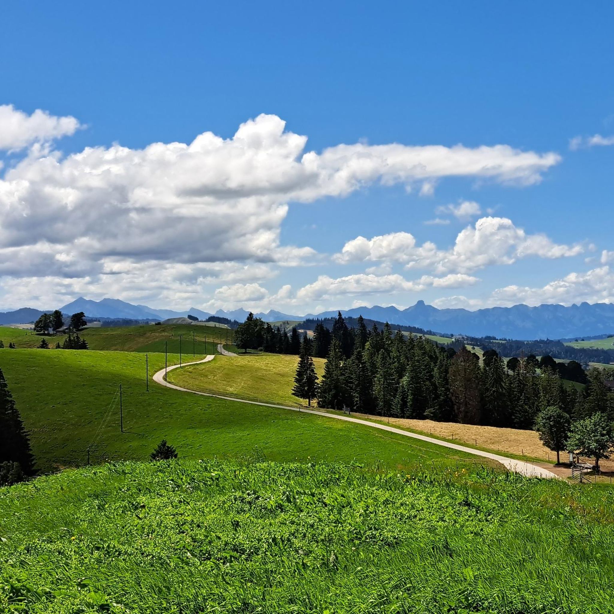
Small restaurant, a nice place to take a break, large parking lot available. Many visitors on nice summer days.
0
0
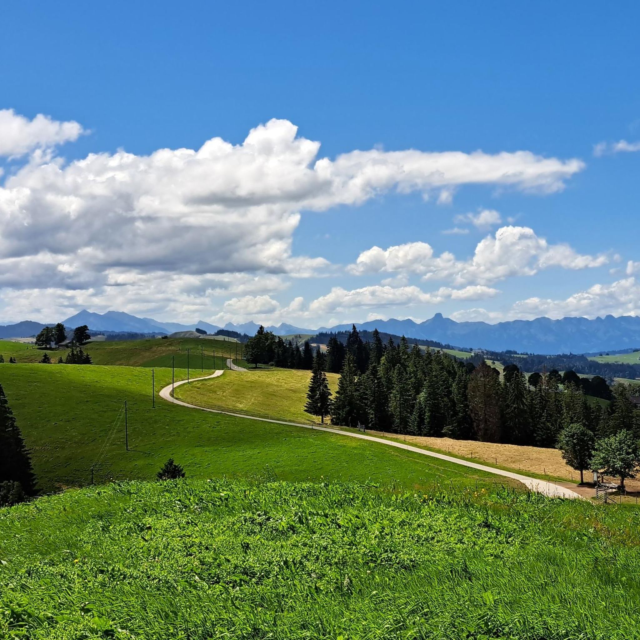
Small restaurant, a nice place to take a break after a hike.
0
0

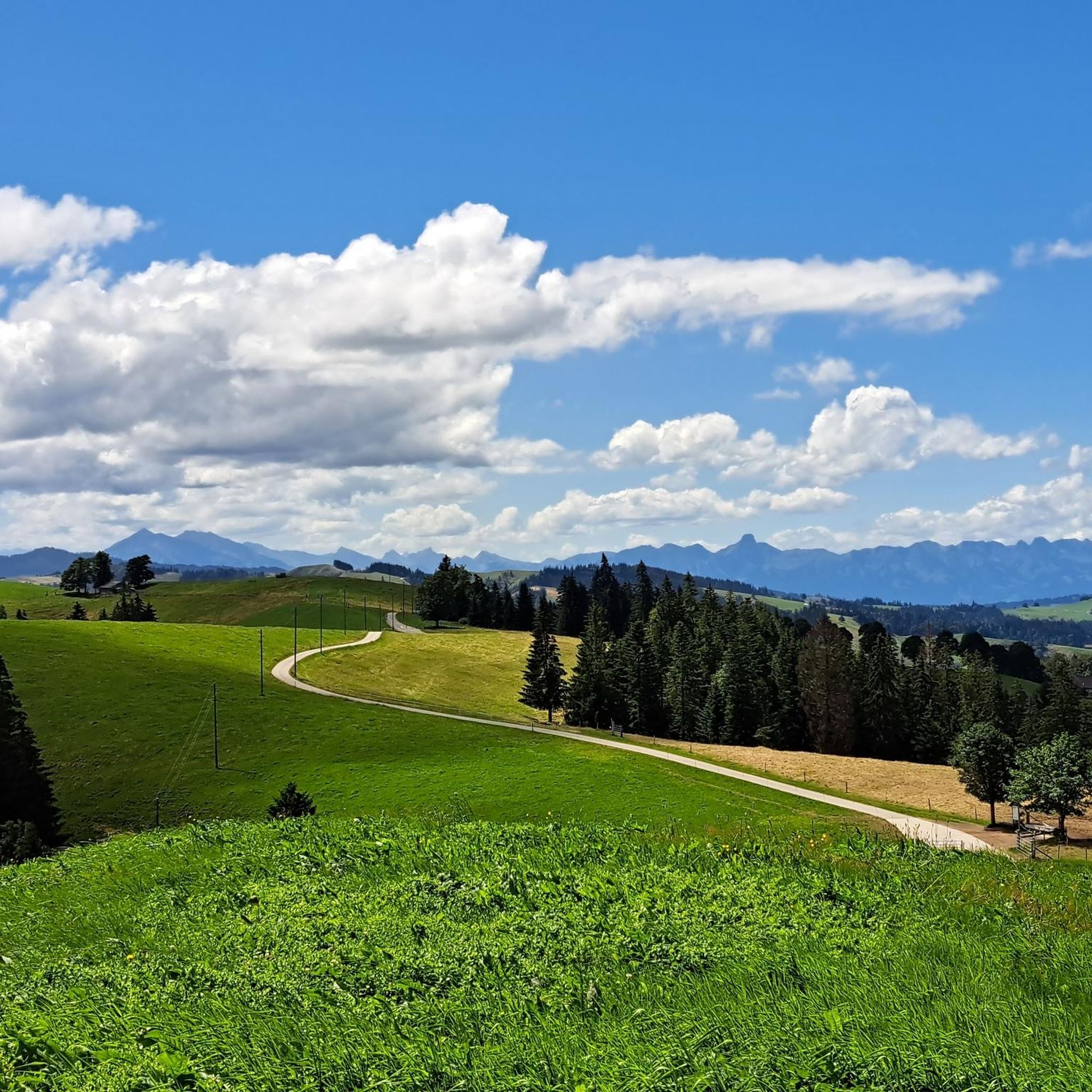
A small mountain pass between the cantons of Obwalden, from Giswil and Lucerne to Sörenberg. The route is narrow on the Obwalden side and in places only single-track, stretching with a very constant gradient of 8 to 12% over meadow slopes and forest up to the highest point. From the Lucerne side, starting at the Brienz Rothorn cable car valley station, it is also only two-track. The highest point is somewhat unspectacular, situated in the sparse mountain forest at the foot of a rock face; the actual pass summit is somewhat lower on the Lucerne side, where there is also a small kiosk.
0
0
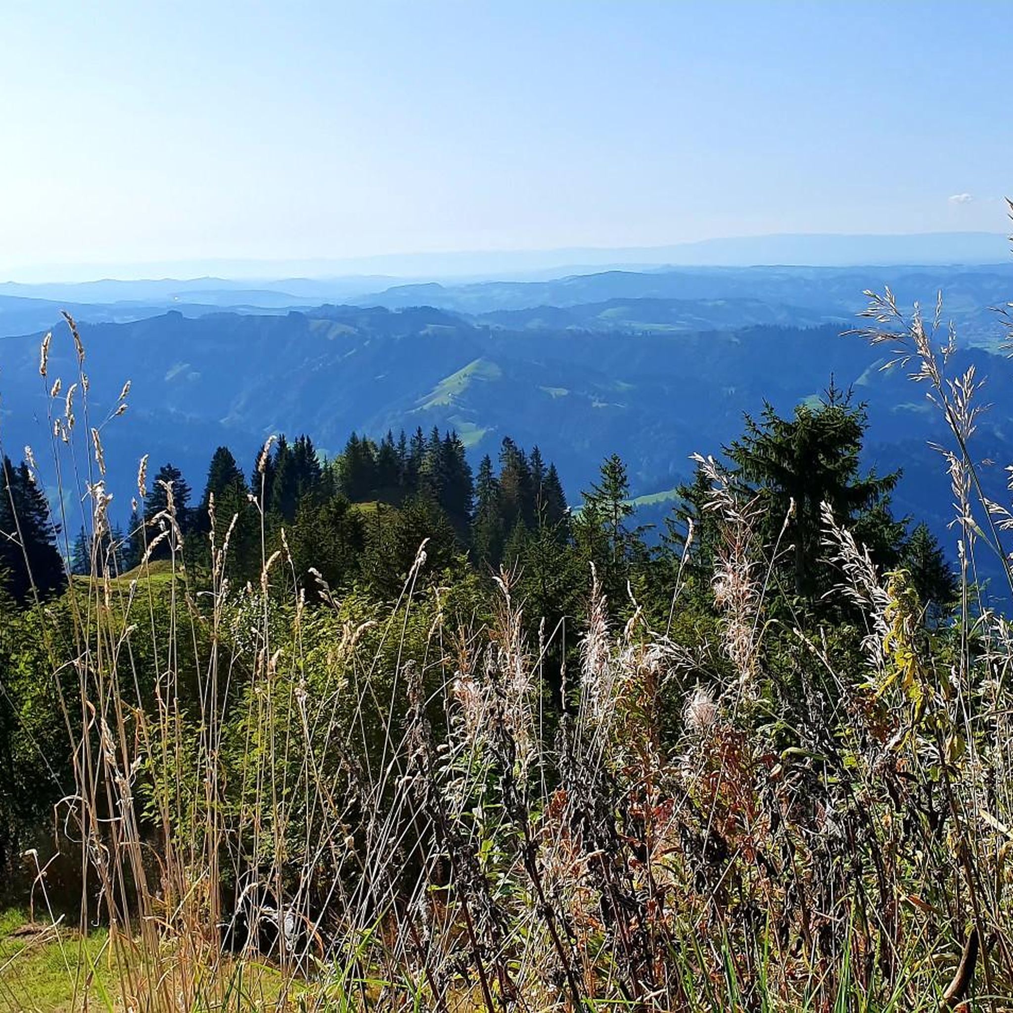
A small mountain pass between the cantons of Obwalden and Lucerne, from Giswil to Sörenberg. The route is narrow on the Obwalden side and in places only single-track, stretching at a very constant gradient of 8 to 12% over meadow slopes and forest up to the highest point. From the Lucerne side, starting at the Brienz Rothorn cable car valley station, it is also only two-track. The highest point is somewhat unspectacular, situated in the sparse mountain forest at the foot of a rock face; the actual pass summit is somewhat lower on the Lucerne side, where there is also a small kiosk.
0
0

Great little restaurant with super friendly service.
0
0
Frequently Asked Questions
Which mountain passes are highly recommended for their unique experiences in Escholzmatt-Marbach?
Visitors frequently recommend Hilferen Pass for its quiet, enjoyable experience and stunning views, as it's not accessible by motorized vehicles. Another must-see is Lättgässli Pass, offering incredible views down to Lake Brienz and the Eiger, Mönch, and Jungfrau massif from over 2,000 meters. For a challenging climb with spectacular vistas of Lake Sarnen, Glaubenberg Pass from Sarnen is also a favorite.
What kind of natural features and viewpoints can I expect to see around the mountain passes?
The region is rich in natural beauty, situated within the UNESCO Biosphere Entlebuch. From passes like Lättgässli Pass, you can witness breathtaking panoramas of Lake Brienz and the iconic Eiger, Mönch, and Jungfrau peaks. The routes around Schrattenfluh, the highest point in the municipality, also offer spectacular views and rocky passages. Many trails provide vistas of the characteristic rugged layers of rock and lush Swiss landscapes.
Are there challenging mountain passes for experienced hikers or cyclists?
Yes, several routes offer significant challenges. The approach to Hilferen Pass is relatively steep, requiring grit for cyclists. Lättgässli Pass is described as a challenging and technical climb. For cyclists, the Glaubenberg Pass from Sarnen features steep ramps. The Schrattenfluh area also includes mountain tours with rocky passages and challenging scrambling sections for experienced hikers.
What outdoor activities can I do near the mountain passes in Escholzmatt-Marbach?
The region offers diverse outdoor activities. For cycling, you can explore routes like the 'Gravel Path by the Ilfis – Hilferen Pass loop' or the 'Alpine View near Eschholzmatt – Himugüegli loop'. Road cyclists can tackle routes such as the 'Schallenberg Pass (1167 m) – Schallenberg Pass loop'. Hikers can enjoy mountain tours like the 'Schrattenfluh – Hengst Summit loop'. You can find more details on these and other routes in the Cycling around Escholzmatt-Marbach, Road Cycling Routes around Escholzmatt-Marbach, and Mountain Hikes around Escholzmatt-Marbach guides.
Are there any family-friendly options or facilities near the mountain passes?
While specific family-friendly passes are not detailed, the Passhöchi Beizli, a cozy pub at 1,550 meters, is categorized as family-friendly and offers a place to eat and drink. The Marbachegg area also features mountain biking trails, including the Clientis Flowtrail Marbachegg, designed for various skill levels, which might include beginner-friendly sections suitable for families.
What is the best time of year to visit the mountain passes around Escholzmatt-Marbach?
The best time to visit depends on your preferred activity. For hiking and mountain biking, late spring through early autumn (May to October) generally offers the most favorable weather conditions. For winter sports enthusiasts, the ascent to Schärlig is part of an extensive cross-country skiing trail network, making winter an ideal time for skiing. Always check local weather conditions before your visit, especially for higher elevations.
Are there places to eat or stay near the mountain passes?
Yes, there are options for refreshments. At Hilferen Pass, you'll find the Sammligen alpine hut with a self-service refrigerator for drinks. The Glaubenberg Pass has a small restaurant directly on the pass, and just a bit further, the Berghotel Langis offers a large terrace and great views. The Passhöchi Beizli is also a popular spot for food and drinks.
What is the Marbach Panorama Trail?
The Marbach Panorama Trail is a notable 30.1 km gravel track loop around Escholzmatt-Marbach, specifically popular for mountain biking. It involves an ascent and descent of 990 meters and typically takes about 3 hours to complete, offering significant panoramic vistas throughout the ride.
Can I go cross-country skiing in the Escholzmatt-Marbach region?
Yes, the region is well-known for cross-country skiing, particularly around Marbach. The ascent to Schärlig is part of the extensive Marbach-Escholzmatt-Bumbach cross-country skiing trail network. This challenging route leads to a plateau with further climbs and descents, providing excellent conditions and incomparable views for winter sports enthusiasts.
What are the mountain biking opportunities like in the area?
Escholzmatt-Marbach offers excellent mountain biking opportunities. The Marbachegg area features dedicated trails like the Clientis Flowtrail Marbachegg and the Ckw Jump Trail, catering to various skill levels from beginners to advanced riders. These trails include features like multiple take-off options for 'air time'. Additionally, the Marbach Panorama Trail is a significant gravel track loop for cyclists seeking panoramic views.
What makes the Schrattenfluh area significant for outdoor activities?
The Schrattenfluh, with the municipality's highest point at 2,090 meters near Hengst, is a significant area for mountain tours. It features routes with rocky passages and challenging extended versions that include scrambling sections, offering spectacular panoramas and breathtaking views for experienced hikers. There are also more accessible routes, such as a 'small tour over the Schrattenfluh to the Hengst'.
How accessible are the mountain passes by public transport or car?
While some passes like Hilferen Pass are not accessible by motorized vehicles, implying a need for hiking or cycling to reach them, others like the Glaubenberg Pass are accessible by road. For specific public transport options to trailheads, it's recommended to check local transport schedules, as the region is well-connected within the Swiss public transport network.
Most popular routes around Escholzmatt-Marbach
Most popular attractions around Escholzmatt-Marbach

Get inspired with the komoot mobile app


Explore more
See even more epic mountain passes by checking out these guides around Escholzmatt-Marbach:
