The best mountain hikes in Steyregger Wald
37
hikers
10
hikes
Steyregger Wald mountaineering routes traverse a diverse forested landscape characterized by varied elevation changes. The region offers a range of paths, from accessible trails to more challenging ascents, suitable for different fitness levels. Notable features include elevated viewpoints and natural monuments that enhance the outdoor experience. This area provides a compelling destination for exploring elevated landscapes within a natural setting.
Best mountaineering routes in Steyregger Wald
- The most popular mountaineering route is Pfenningberg Summit Cross – Finstergrabenbach Bike Route loop…
Last updated: June 29, 2026
4
hikers
8.93km
02:51
360m
360m
Moderate mountaineering route. Good fitness required. Easily-accessible paths. Suitable for all skill levels.
6
hikers
Moderate mountaineering route. Good fitness required. Easily-accessible paths. Suitable for all skill levels.

Sign up for free
3
hikers
9.10km
02:53
370m
370m
Moderate mountaineering route. Good fitness required. Easily-accessible paths. Suitable for all skill levels.
14
hikers
16.6km
05:11
660m
660m
Hard mountaineering route. Very good fitness required. Easily-accessible paths. Suitable for all skill levels.
8
hikers
14.2km
04:15
350m
350m
Moderate mountaineering route. Good fitness required. Mostly accessible paths. Sure-footedness required.
Get access to more routes and recommendations from other explorers.
Sign up for free
Already have an account?
Our route recommendations are based on thousands of hikes, rides, and runs completed by other people on komoot.
Start today with a free account
Your next adventure awaits.
Login or Signup
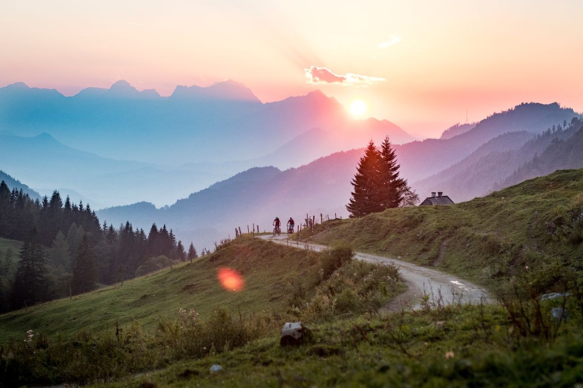
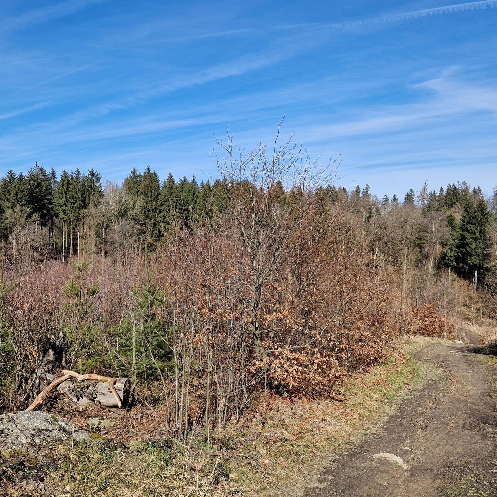
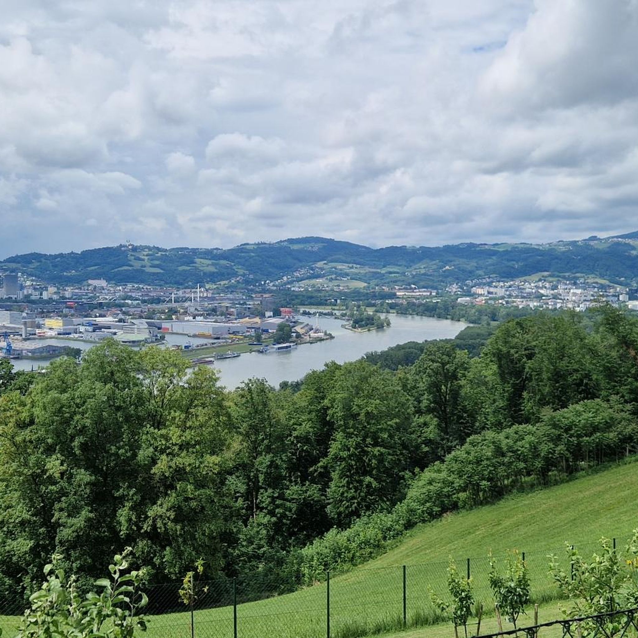
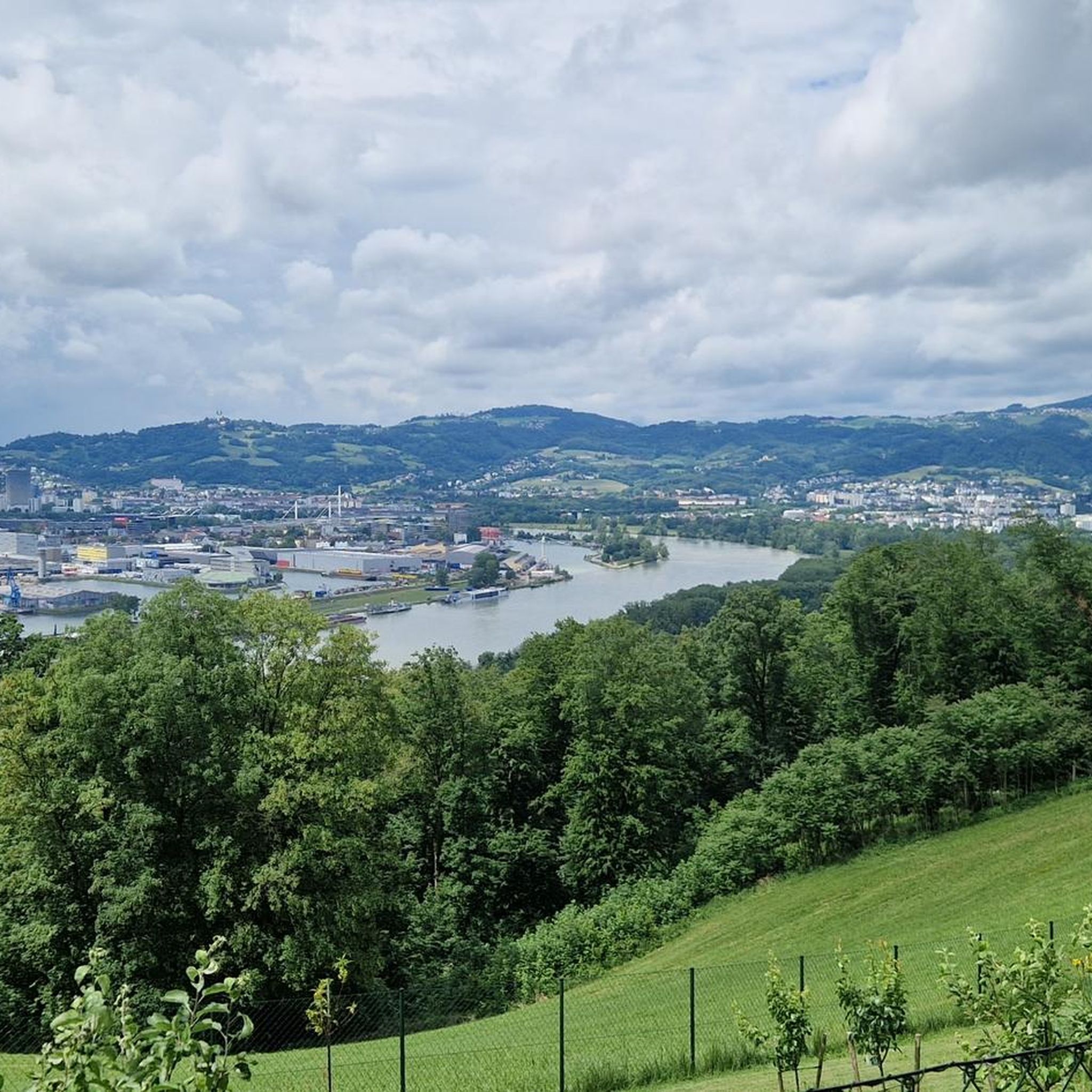
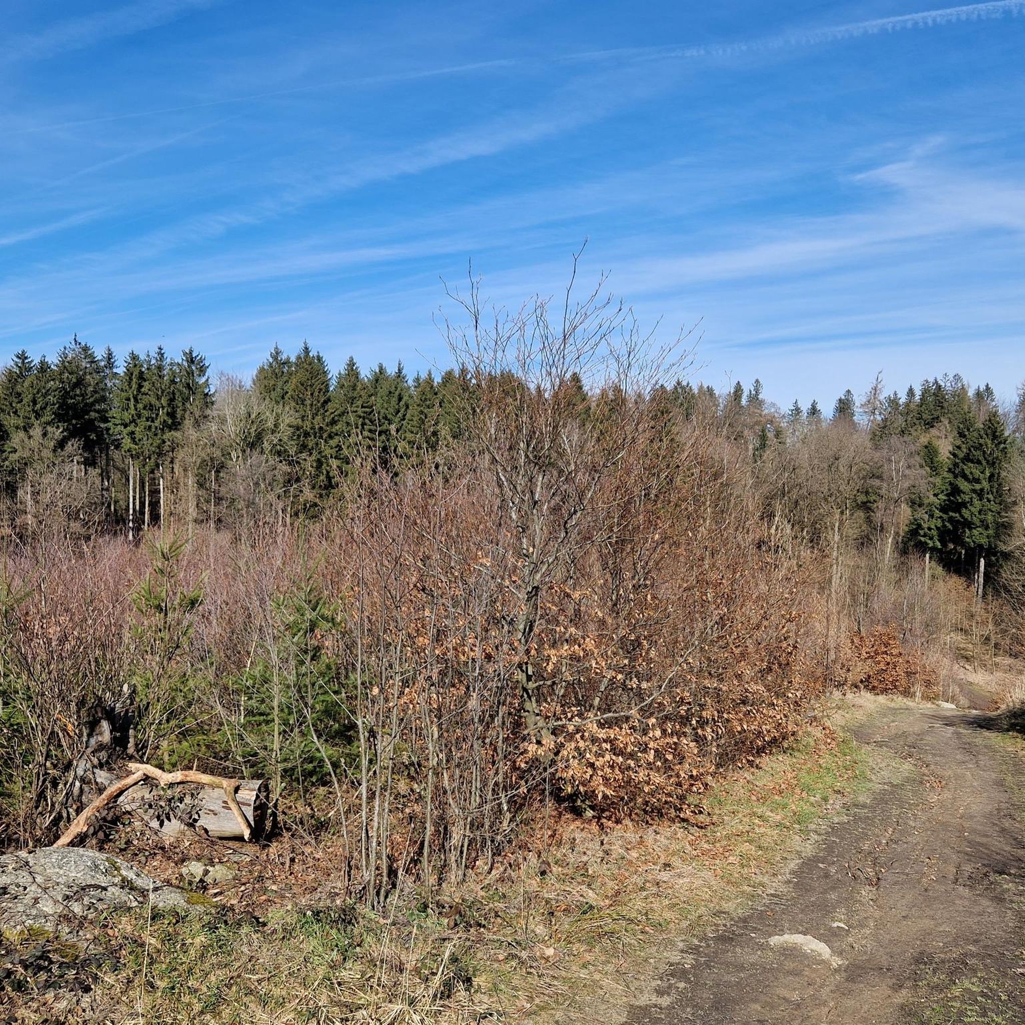
Other adventures in Steyregger Wald

Tips from the Community

The summit cross on the Gis (Lichtenberg) was completely renewed and re-consecrated in June 2026!
3
0
Giselawarte was built in 1856 and named after Princess Gisela, a daughter of Emperor Franz Joseph. In 1960, it was increased by two stories.
3
0
Built in 1856 and named after Princess Gisela, a daughter of Emperor Franz Joseph. In 1960, two stories were added.
3
0

Built in 1856, the Giselawarte is located at 927m above sea level.
0
0
Hiking trail above the Danube
1
0

Not far from the summit cross, right next to the path, colourfully decorated....
0
0
Modern summit cross in a beautiful clearing.
0
0
Frequently Asked Questions
How many mountaineering routes are available in Steyregger Wald?
Steyregger Wald offers a total of 13 mountaineering routes, catering to various skill levels from easy to difficult. This diverse network allows you to explore the forested landscape and its varied elevation changes.
Are there any easy mountaineering routes suitable for beginners in Steyregger Wald?
Yes, Steyregger Wald features 2 easy mountaineering routes. These paths are generally less challenging, making them ideal for beginners or those looking for a more relaxed experience in the forested terrain.
What are some challenging mountaineering routes in Steyregger Wald?
For those seeking a more demanding experience, Steyregger Wald has 2 difficult mountaineering routes. One notable challenging route is the Gis Transmitter and Rest Area – Giselawarte loop from St. Magdalena, which spans 10.2 miles (16.5 km) and involves significant elevation changes.
Are there any circular mountaineering routes in Steyregger Wald?
Many of the mountaineering routes in Steyregger Wald are designed as loops, allowing you to start and end at the same point. For example, the Three Beeches Cross – Pfenningberg Summit Cross loop from Steyregg is a moderate 5.5 miles (8.9 km) circular path that winds through forested areas.
What kind of natural features or viewpoints can I expect to see on these routes?
Steyregger Wald is characterized by its forested landscape and offers several elevated viewpoints. Along the routes, you can discover natural monuments and specific points of interest. For instance, the Pfenningberg Summit Cross – Finstergrabenbach Bike Route loop from Johannes Kepler University Linz passes by the Pfenningberg Summit Cross, offering panoramic views.
Are the mountaineering routes in Steyregger Wald suitable for families?
Steyregger Wald offers a range of paths, including easier options that can be suitable for families. While specific family-friendly routes are not explicitly detailed, the presence of accessible trails suggests that some of the less challenging paths could be enjoyed by families with appropriate fitness levels.
Can I bring my dog on the mountaineering trails in Steyregger Wald?
Generally, dogs are welcome on trails in natural areas like Steyregger Wald. However, it's always recommended to keep them on a leash, especially in forested areas, and to check for any specific local regulations or protected zones that might have restrictions.
Where can I find parking for the mountaineering routes in Steyregger Wald?
While specific parking locations for each route are not detailed, many routes, such as the Prinzenweg viewing point – Kürnbergkreuz loop from Leonding, often start from towns or universities where public parking might be available. It's advisable to check the starting point of your chosen route for nearby parking options.
Are there any places to eat or drink near the trails in Steyregger Wald?
Yes, there are options for refreshments. For example, the Gasthaus Daxleitner is a highlight located within the vicinity, offering a place to stop for food and drinks after your mountaineering adventure.
What do other mountaineers say about the routes in Steyregger Wald?
Over 40 mountaineers have explored Steyregger Wald using komoot, indicating a popular and well-regarded area for outdoor activities. Users often praise the diverse terrain and scenic natural features found along the trails.
What is the best time of year to go mountaineering in Steyregger Wald?
Steyregger Wald is suitable for mountaineering across multiple seasons. The forested landscape offers shade in warmer months, while the varied elevation changes can be enjoyed in spring and autumn. Winter mountaineering is possible, but conditions may require appropriate gear and caution.
How long do the mountaineering routes typically take to complete?
The duration of routes varies depending on their length and difficulty. For instance, a moderate route like the Three Beeches Cross – Pfenningberg Summit Cross loop from Steyregg typically takes around 2 hours 50 minutes, while more difficult routes can extend to over 5 hours.
Most popular routes in Steyregger Wald
Most popular attractions in Steyregger Wald

Get inspired with the komoot mobile app


Explore more
Browse the best Mountain Hikes & Routes in other regions.
