The best mountain hikes in Kürnbergerwald
53
hikers
13
hikes
Mountaineering in Kürnbergerwald offers a network of routes through dense forests and varied terrain near Linz, Austria. The region is characterized by its extensive trail system, including narrow forest paths and broader forest roads. Kürnberg Peak, at 526 meters, provides a significant landmark and panoramic views. Elevation gains on routes can reach over 600 meters, presenting diverse challenges for mountaineers.
Best mountaineering routes in Kürnbergerwald
- The most popular mountaineering route is Prinzenweg viewing point – Kürnbergkreuz loop from Leonding,…
Last updated: May 17, 2026
8
hikers
14.2km
04:15
350m
350m
Moderate mountaineering route. Good fitness required. Mostly accessible paths. Sure-footedness required.
6
hikers
13.2km
04:00
340m
340m
Moderate mountaineering route. Good fitness required. Mostly accessible paths. Sure-footedness required.

Sign up for free
14
hikers
16.6km
05:11
660m
660m
Hard mountaineering route. Very good fitness required. Easily-accessible paths. Suitable for all skill levels.
2
hikers
8.65km
02:40
310m
310m
Moderate mountaineering route. Good fitness required. Easily-accessible paths. Suitable for all skill levels.
2
hikers
14.2km
04:22
480m
480m
Moderate mountaineering route. Good fitness required. Easily-accessible paths. Suitable for all skill levels.
Get access to more routes and recommendations from other explorers.
Sign up for free
Already have an account?
Our route recommendations are based on thousands of hikes, rides, and runs completed by other people on komoot.
Start today with a free account
Your next adventure awaits.
Login or Signup

Tips from the Community

Built in 1856, the Giselawarte is located at 927m above sea level.
0
0
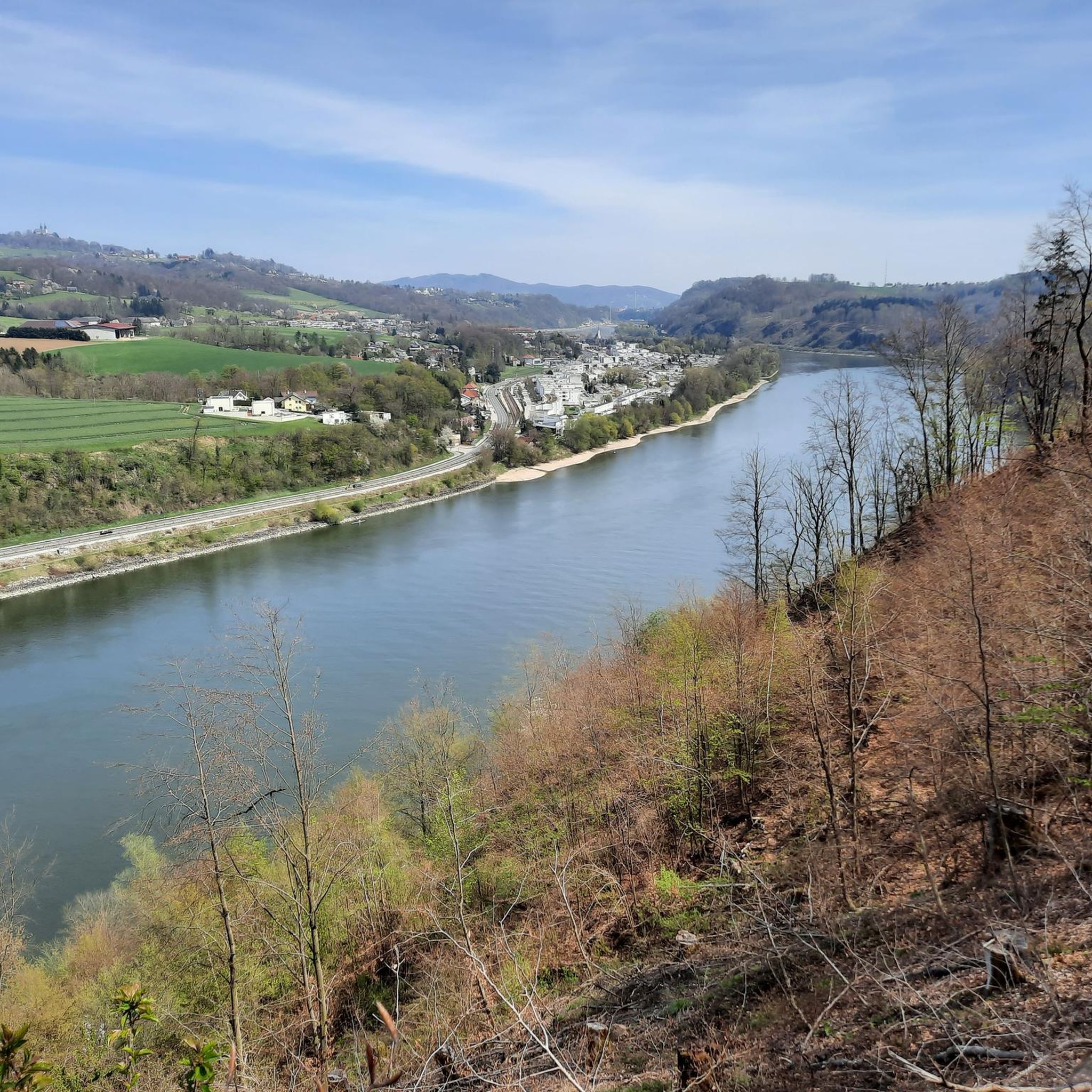
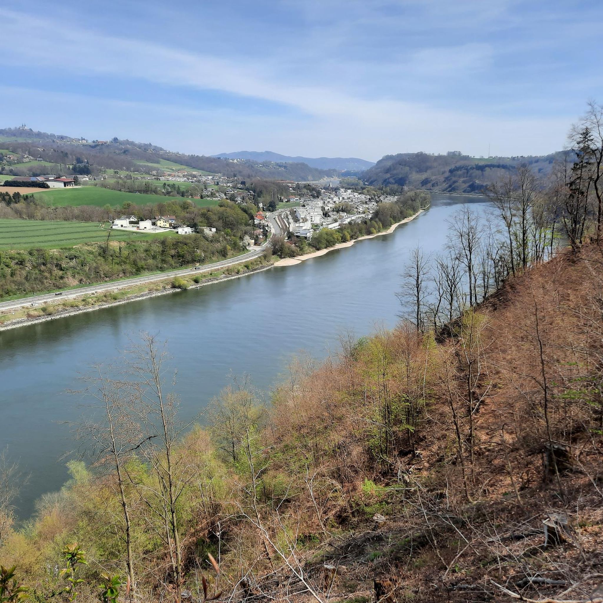
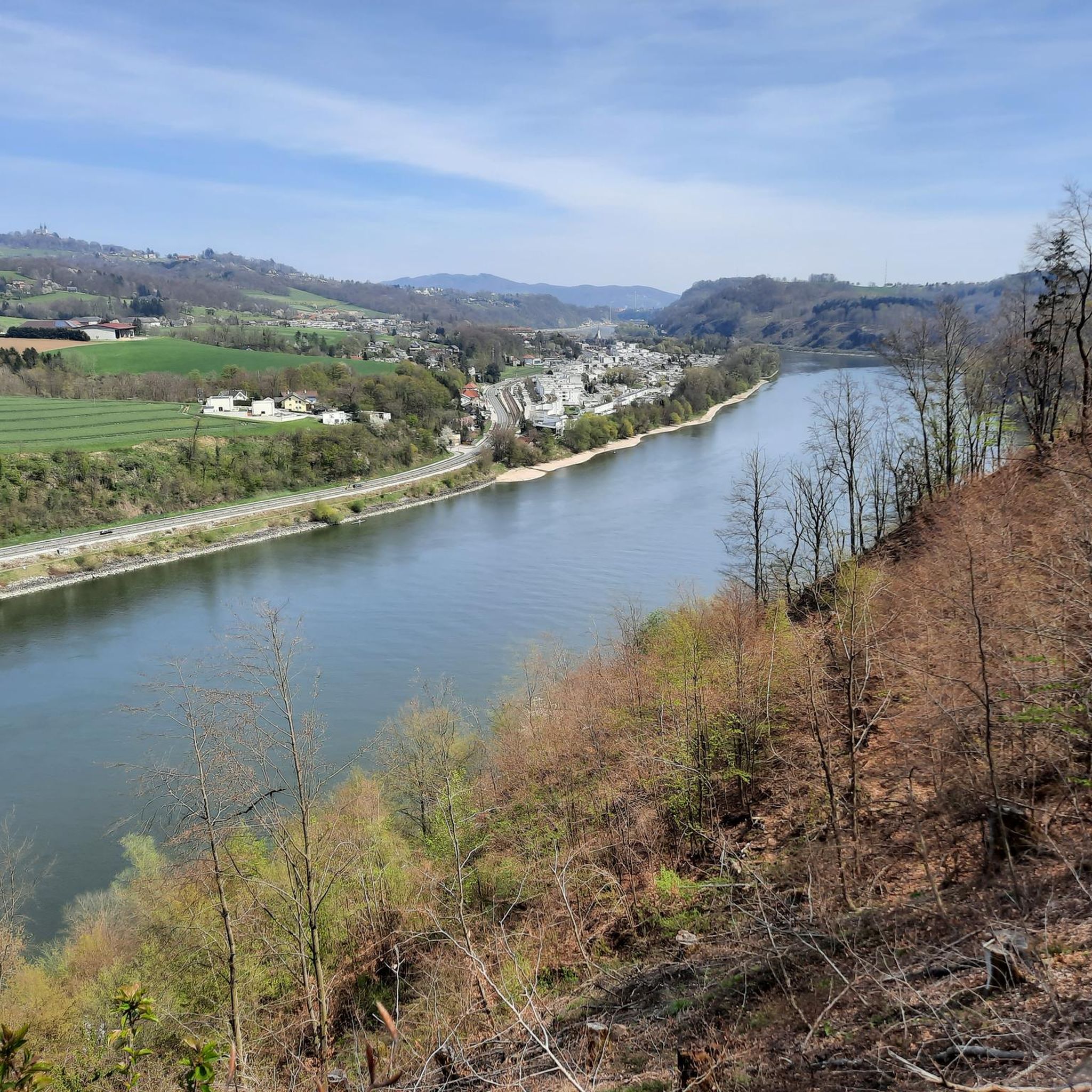
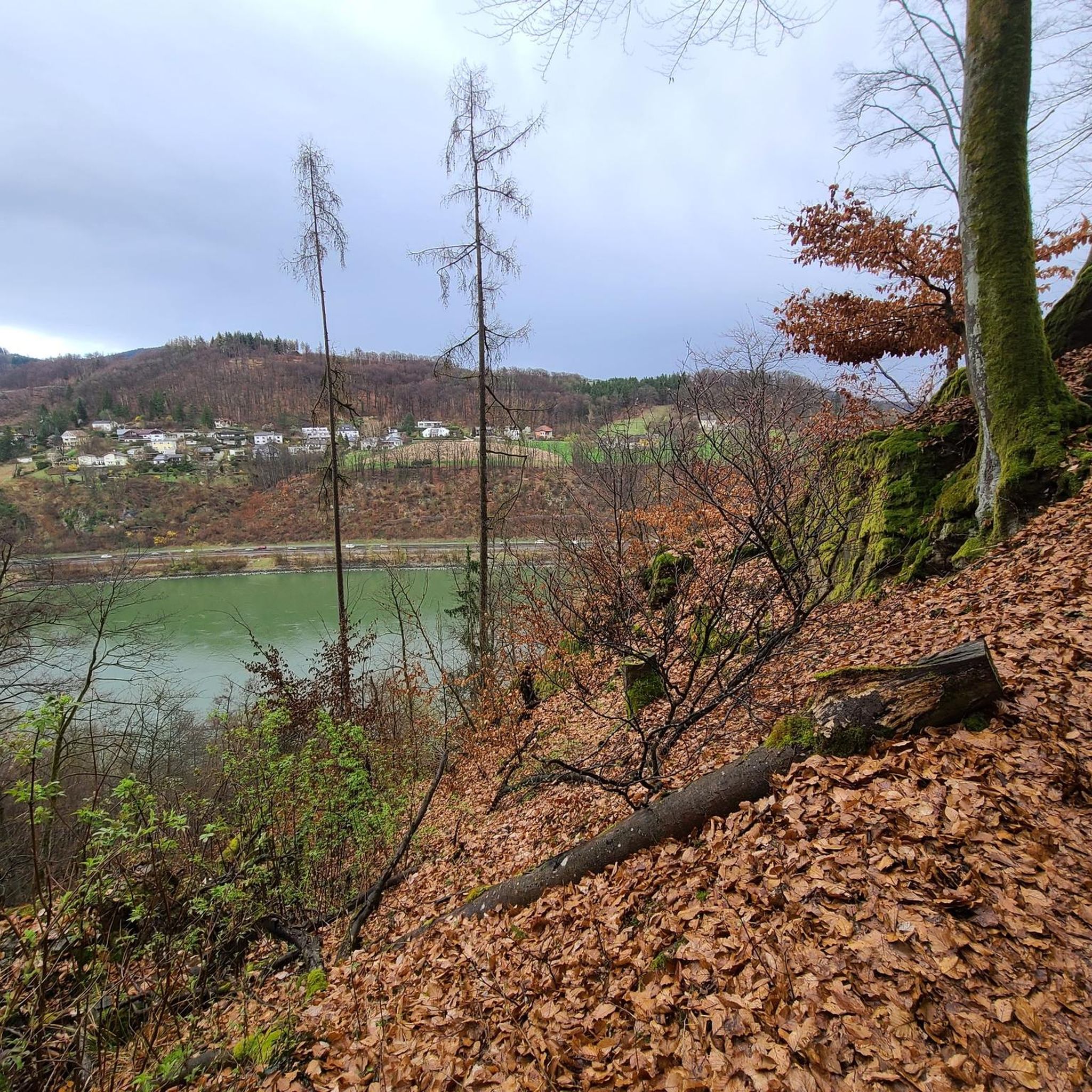
Hiking trail above the Danube
1
0


Not far from the summit cross, right next to the path, colourfully decorated....
0
0
Modern summit cross in a beautiful clearing.
0
0


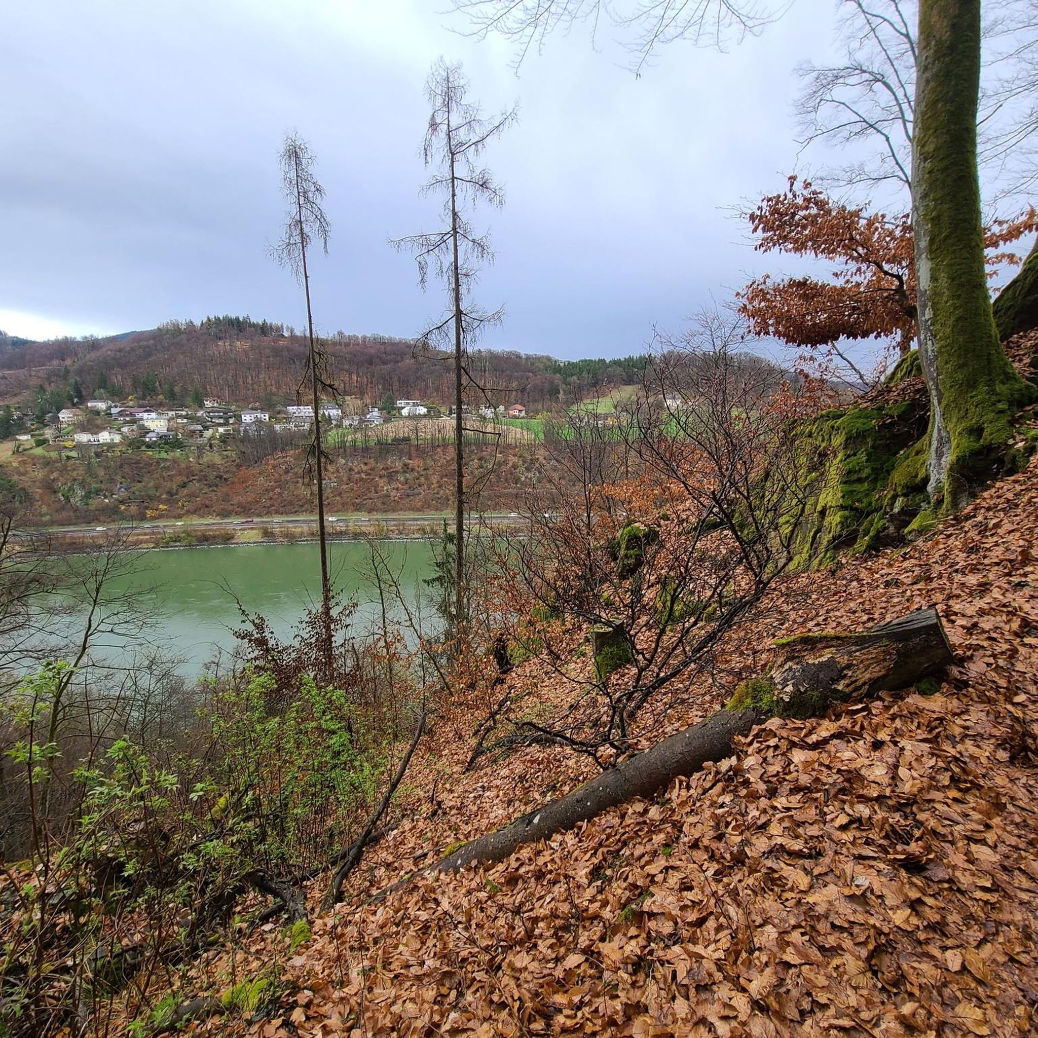
The pilgrim's cross is easily accessible from the Kürnbergerwald parking lot. Today the path was a bit slippery in places due to the frozen and melted snow – hiking poles are advisable at the moment. But the panorama of the winter landscape is simply magnificent! 🤩 Definitely worth a hike.
0
0
Frequently Asked Questions
How many mountaineering routes are available in Kürnbergerwald?
Kürnbergerwald offers a network of over 15 mountaineering routes, providing diverse options for exploring the region's dense forests and varied terrain. These routes range in difficulty from easy to difficult, catering to different experience levels.
What kind of terrain can I expect on mountaineering routes in Kürnbergerwald?
The terrain in Kürnbergerwald is characterized by an extensive network of paths, including narrow forest trails and broader forest roads. You'll encounter varied landscapes, with elevation gains on some routes reaching over 600 meters, offering a good challenge for mountaineers. The region is primarily known for hiking and walking, with some paths requiring sure-footedness.
Are there any family-friendly mountaineering options in Kürnbergerwald?
Yes, Kürnbergerwald has routes suitable for families. While specific 'family-friendly' routes aren't explicitly tagged, the area offers a range of paths, including easier ones. For example, routes like the Prinzenweg viewing point – Kürnbergkreuz loop from Leonding are moderate and feature scenic forest paths that can be enjoyed by active families.
What are some notable landmarks or natural features to look out for along the routes?
Kürnbergerwald is rich in natural and historical landmarks. You can visit the Pilgrims' Cross on the Kürnberg summit, which is the highest point in the forest and offers panoramic views. Another interesting spot is the Ruins of the Roman Tower (Römerturm), a historical site from the 2nd century. The Prinzensteig Trail itself is a popular feature, known for its scenic beauty and occasional views of the Danube.
Are dogs allowed on the mountaineering trails in Kürnbergerwald?
Generally, dogs are welcome in Kürnbergerwald. However, it's always recommended to keep them on a leash, especially in forested areas to protect wildlife and ensure the safety of other hikers. Please be mindful of local regulations and signage regarding dogs.
What is the best time of year to go mountaineering in Kürnbergerwald?
Kürnbergerwald can be enjoyed year-round, but the best times for mountaineering are typically spring, summer, and autumn when the weather is milder and the forest is in full bloom or displaying vibrant fall colors. Winter mountaineering is possible, but some paths might be slippery or covered in snow, requiring appropriate gear and caution.
Are there any challenging routes for experienced mountaineers?
Yes, Kürnbergerwald offers routes that provide a significant challenge. For instance, the Gis Transmitter and Rest Area – Giselawarte loop from St. Magdalena is classified as difficult, featuring substantial elevation gain, reaching over 659 meters of ascent. This route is ideal for those seeking a more strenuous experience.
Are there any circular mountaineering routes in Kürnbergerwald?
Many of the mountaineering routes in Kürnbergerwald are designed as loops, allowing you to start and end at the same point. Examples include the Prinzenweg viewing point – Kürnbergkreuz loop from Ottensheim and the Pfenningberg Summit Cross – Finstergrabenbach Bike Route loop from Johannes Kepler University Linz, which offer convenient circular journeys through the forest.
Where can I find parking for mountaineering routes in Kürnbergerwald?
Parking is generally available near the starting points of many routes. For example, if you're starting a loop from Leonding or Ottensheim, you'll typically find designated parking areas. For routes originating near Johannes Kepler University Linz, parking facilities are also usually accessible. It's advisable to check specific route descriptions for detailed parking information.
What do other mountaineers enjoy most about Kürnbergerwald?
Mountaineers often praise Kürnbergerwald for its extensive forest paths and the prominent Kürnberg Peak, which offers rewarding views. The varied terrain and the blend of natural beauty with historical sites, such as the Roman watchtower ruins, are frequently highlighted. The area provides a diverse range of experiences, from moderate ascents to more challenging routes, appealing to a wide community of outdoor enthusiasts.
Are there any easy mountaineering routes for beginners in Kürnbergerwald?
Yes, Kürnbergerwald offers routes suitable for beginners or those looking for a less strenuous experience. While specific 'easy' routes are fewer, there are options with gentler inclines and shorter distances that are perfect for getting started. These routes still provide the immersive forest experience without demanding high levels of fitness.
Can I find cafes or restaurants near the mountaineering trails?
While Kürnbergerwald is primarily a natural forest area, you can find amenities in the surrounding towns and villages like Leonding, Ottensheim, or near Johannes Kepler University Linz, which serve as common starting points for routes. These areas typically offer cafes, restaurants, and other facilities where you can refuel before or after your mountaineering trip.
Most popular routes in Kürnbergerwald
Most popular attractions in Kürnbergerwald

Get inspired with the komoot mobile app


