The best walks and hikes around Lewisville
4.8
(13)
155
hikers
14
hikes
Hiking around Lewisville, Texas, offers diverse outdoor experiences shaped by its varied landscapes and proximity to Lake Lewisville. The region features ecosystems ranging from Blackland prairie and bottomland forests to wetlands along the Elm Fork of the Trinity River. Trails often traverse areas with distinctive red clay paths and offer views of the lake, providing a mix of natural settings for hikers.
Best hiking trails around Lewisville
- The most popular hiking route is Moulton Falls via East Fork of the…
Last updated: September 27, 2026
4.6
(5)
54
hikers
8.67km
02:19
100m
100m
Moderate hike. Good fitness required. Easily-accessible paths. Suitable for all skill levels.
5.0
(1)
14
hikers
9.89km
02:50
240m
220m
Moderate hike. Good fitness required. Easily-accessible paths. Suitable for all skill levels.

6
hikers
4.20km
01:09
60m
80m
Easy hike. Great for any fitness level. Easily-accessible paths. Suitable for all skill levels.
5.0
(2)
5
hikers
2.63km
00:41
20m
30m
Easy hike. Great for any fitness level. Easily-accessible paths. Suitable for all skill levels.
1
hikers
5.92km
01:44
170m
170m
Easy hike. Great for any fitness level. Easily-accessible paths. Suitable for all skill levels.
Get access to more routes and recommendations from other explorers.
Already have an account?
Our route recommendations are based on thousands of hikes, rides, and runs completed by other people on komoot.
Start today with a free account
Your next adventure awaits.
Popular around Lewisville
Tips from the Community

The East Fork Lewis River is a river in the U.S. state of Washington. It is the largest tributary of the Lewis River. Its source is on Green Lookout Mountain in Skamania County
0
0

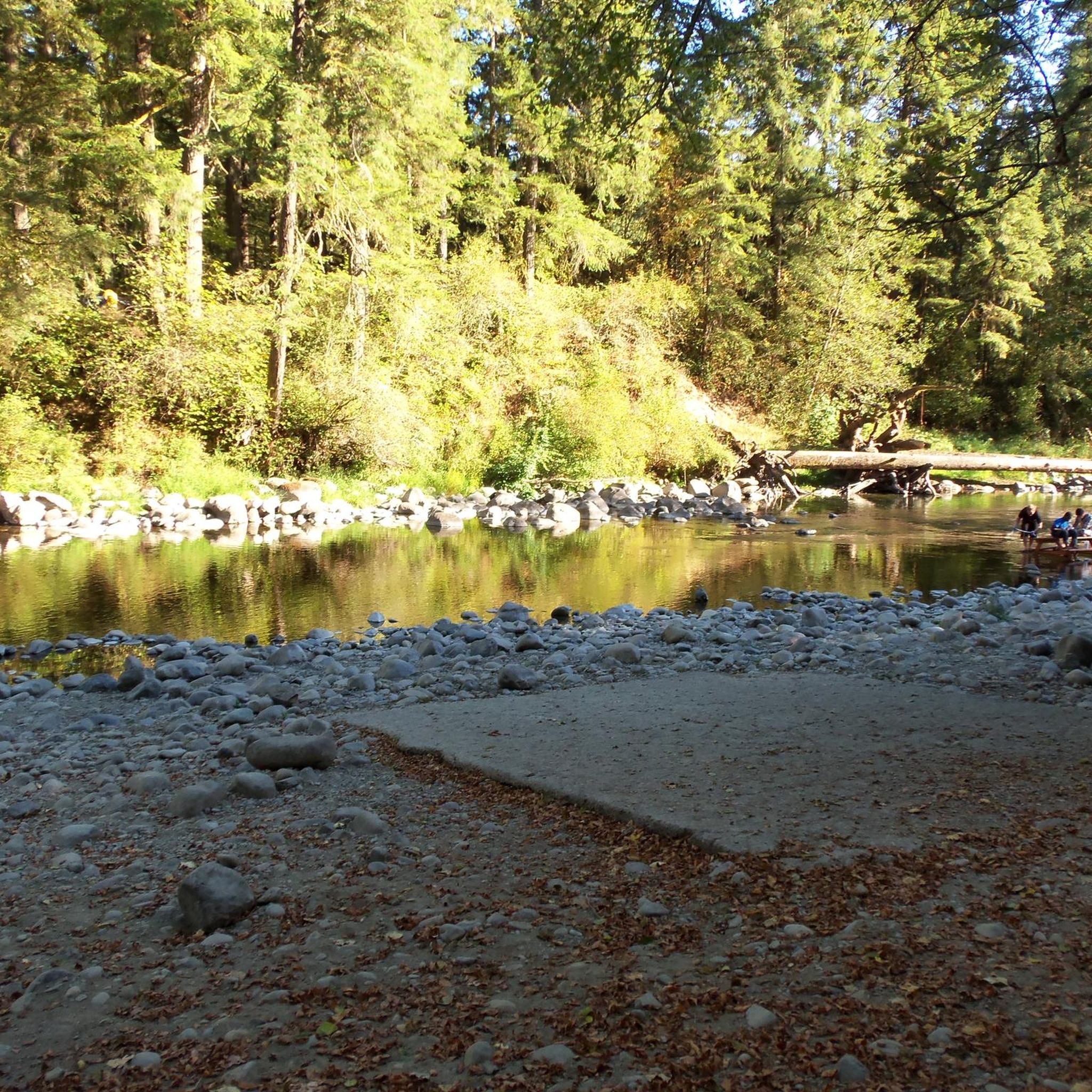
This scenic access point to the East Fork Lewis River offers an easy way to enjoy the water. The area is rich with wildlife, including over 20 species of fish, deer, elk, and bald eagles. Multiple access points along the water's edge make it a convenient spot for a break.
0
0

Multon Falls Regional park is a a 387 acre park on the East Fork of the Lewis River. It features a high arched swing bridge, two waterfalls, and a narrow tree lined canyon that the river flows through forming its namesake, Moulton Falls.
0
0

Moulton Falls is stunning, be sure to pack your swimsuit as there is a swimming access area. The waters are freezing even in the summer. If you can't handle the cold, it's still a perfect spot to sit and relax and take in the beautiful landscape.
0
0
Pack your lunch because this lakefront picnic spot amid trees provides beautiful natural scenery.
0
0

A scenic spot along the Lewis River where you might spot a bald eagle. Several access points to the water's edge makes this one an easy place to photograph.
1
0
Frequently Asked Questions
How many hiking trails are available in Lewisville?
Lewisville offers a diverse network of over 15 hiking trails, catering to various skill levels. You'll find everything from easy strolls to more challenging routes, with 6 easy, 9 moderate, and 1 difficult trail listed in our guide.
What types of landscapes can I expect to see on hikes in Lewisville?
Hiking in Lewisville provides a rich variety of landscapes. You can explore Blackland prairie, bottomland forests, cross-timber forests, and wetlands along the Elm Fork of the Trinity River. Many trails also offer picturesque views of Lake Lewisville and feature distinctive red clay paths.
Are there any easy, family-friendly hikes in Lewisville?
Yes, Lewisville has several easy trails suitable for families. The Salmon-Morgan Creeks Trail is an easy option, as is the Battle Ground Lake Perimeter Loop. Additionally, the Berry Road Loop is another easy route that takes you through varied terrain.
Where can I find longer or more challenging hikes near Lewisville?
For a moderate challenge, consider the Moulton Falls via East Fork of the Lewis River Trail, which is about 5.4 miles long with a steady elevation gain. Another moderate option is the Bells Mountain Logging Trail, known for its significant elevation gain over 2.9 miles.
Are there any trails in Lewisville that offer lake views?
Many trails in Lewisville provide scenic views of Lake Lewisville. The Lake Park Trail is known for its picturesque lake views, and the Johnny Broyles Nature Trail also offers diverse terrain and lake vistas. The North Shore Trail, though slightly further afield, also runs along the lakefront with beautiful scenery.
What are some notable natural attractions or points of interest in the Lewisville area?
The Lake Lewisville Environmental Learning Area (LLELA) Nature Preserve is a significant natural attraction, offering diverse ecosystems and wildlife. You can also explore the expansive Lake Lewisville itself, and the Greenbelt Corridor which follows the Elm Fork Branch of the Trinity River. Central Park and Cottonwood Park also offer accessible outdoor experiences.
What do other hikers say about the trails in Lewisville?
The trails in Lewisville are highly regarded by the komoot community, with an impressive average score of 4.9 stars from over 17 reviews. Hikers often praise the diverse terrain, beautiful lake views, and the variety of options available for different fitness levels.
Are there any circular hiking routes in Lewisville?
Yes, Lewisville offers circular routes for hikers. The Battle Ground Lake Perimeter Loop is an easy circular trail, and the Berry Road Loop also provides a varied circular experience.
Can I bring my dog on the hiking trails in Lewisville?
Many trails in Lewisville are dog-friendly. For example, the Johnny Broyles Nature Trail is known to be both family and dog-friendly, offering diverse terrain and lake views for you and your canine companion to enjoy.
Are there opportunities for wildlife viewing on Lewisville's trails?
Absolutely. The Lake Lewisville Environmental Learning Area (LLELA) Nature Preserve is an excellent spot for wildlife viewing, where you might encounter deer, river otters, armadillos, and numerous bird species, including nesting bald eagles. The Coyote Ridge Trail also provides opportunities to see local flora and fauna like wildflowers and soaring hawks.
What is the best time of year to go hiking in Lewisville?
Lewisville's climate generally allows for hiking year-round, but spring and fall often offer the most comfortable temperatures for outdoor activities. These seasons provide pleasant weather for exploring the diverse landscapes without the intense heat of summer or the occasional chill of winter.
Most popular routes around Lewisville
Most popular attractions around Lewisville

Get inspired with the komoot mobile app


Explore more
Browse the best Hikes in other regions.
