The best road cycling routes in St. Clair County
5.0
(1)
198
riders
11
rides
Road cycling in St. Clair County, Michigan, features diverse landscapes and extensive trail networks. The region is characterized by significant waterways such as the St. Clair, Pine, and Black Rivers, alongside varied ecosystems including hardwood forests, prairies, and wetlands. The terrain generally presents minimal elevation gain, with many routes utilizing paved surfaces and shared-use pathways. This makes it suitable for a range of road cycling experiences, from leisurely rides along riverfronts to longer routes connecting various communities.
Best road cycling…
Last updated: July 2, 2026
5.0
(1)
131
riders
76.5km
02:59
110m
110m
Moderate road ride. Good fitness required. Mostly well-paved surfaces and easy to ride.
15
riders
46.8km
02:11
90m
90m
Moderate road ride. Good fitness required. Mostly well-paved surfaces and easy to ride.

Sign up for free
22
riders
67.9km
02:49
190m
190m
Moderate road ride. Good fitness required. Some segments of this route may be unpaved and difficult to ride.
3
riders
24.1km
01:26
50m
50m
Moderate road ride. Great for any fitness level. Some segments of this route may be unpaved and difficult to ride.
6
riders
37.3km
01:52
70m
70m
Moderate road ride. Great for any fitness level. Some segments of this route may be unpaved and difficult to ride.
5
riders
42.5km
01:48
40m
40m
Easy road ride. Great for any fitness level. Mostly well-paved surfaces and easy to ride.
Get access to more routes and recommendations from other explorers.
Sign up for free
Already have an account?
Our route recommendations are based on thousands of hikes, rides, and runs completed by other people on komoot.
Start today with a free account
Your next adventure awaits.
Login or Signup


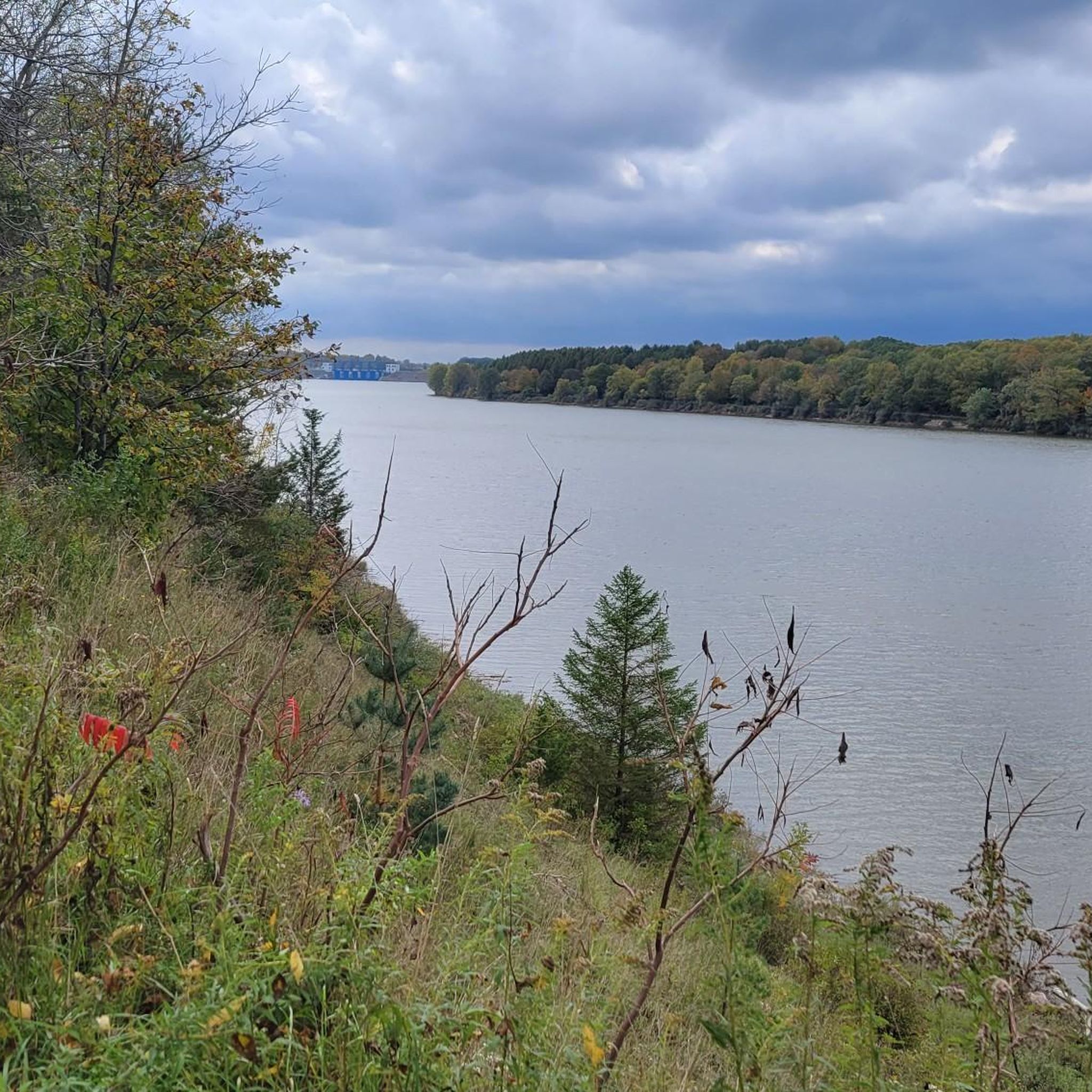
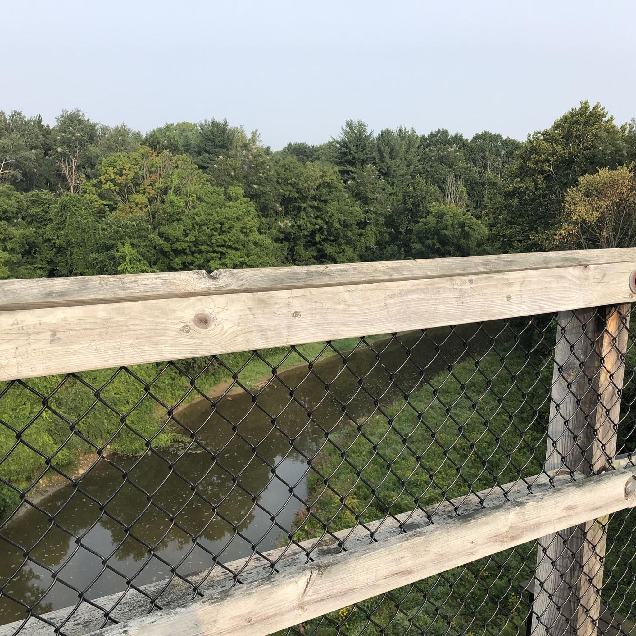

Tips from the Community

Bright’s Grove is a lakeside community along the southern shore of Lake Huron. The area features waterfront parks, walking paths, and access to the Howard Watson Nature Trail. Even though it’s part of Sarnia, it still feels like a small village, with local shops, restaurants, and a close-knit community.
0
0

William Austin Burt was an inventor, legislator, and surveyor who lived near this site in Michigan. He built America's first patented typewriter in 1829 and later developed the solar compass, a groundbreaking tool for land surveying. His work contributed to discovering Michigan's iron ore deposits and establishing key survey markers.
0
0

For William Austin Burt
1
0

Nice bridge, it's fun to get some extra speed going downhill from the bridge.
0
0

The Macomb Orchard Trail is a great paved route that starts with a ride under its distinctive barn-inspired archway. On the other side of the road the crushed gravel Clinton River Trail continues into downtown Rochester.
0
0
Nice place to start your bike ride, mostly flat and it's all paved to Richmond (38k). Be careful with the crossing car streets though.
0
0
Just be careful crossing the main streets. Most of the time cars won’t give you the right of way.
0
0
The Macomb Orchard Trail is a rail trail that stretches for just over 23 miles. The trail is paved and follows the path of the Michigan Air Line Railroad, it is a nice mix of urban, farmland, and forests.
0
0
Frequently Asked Questions
What kind of terrain can I expect on road cycling routes in St. Clair County?
St. Clair County offers diverse road cycling terrain, primarily characterized by extensive paved trails, shared-use pathways, and rural roads. The region generally features minimal elevation gain, making many routes suitable for various skill levels. You'll find paths along significant waterways like the St. Clair, Pine, and Black Rivers, and through varied ecosystems including hardwood forests, prairies, and wetlands.
Are there any easy road cycling routes suitable for beginners or leisurely rides?
Yes, St. Clair County has several easy road cycling routes. For instance, the Lake Chipican loop from Wawanosh Wetlands Conservation Area is a 19.6-mile (31.5 km) trail that is often completed in about 1 hour 30 minutes. Another easy option is the Roadbike loop from Selfridge Air National Guard Base, which is 15.6 miles (15.6 km) with minimal elevation. The Turtle Beach loop from Algonac also offers an easy 42.5-mile (42.5 km) ride.
What are some longer road cycling routes in St. Clair County?
For longer rides, consider the Twin Lake – Macomb Orchard Trail loop from Richmond, a moderate 47.5-mile (76.5 km) route. Another excellent option is the Shelden Estate Stone Wall – Stony Creek Lake View loop from Armada, which covers 42.2 miles (67.9 km) with a moderate elevation gain of 195 meters. Portions of the 275-mile Great Lake to Lake Trail Route #1 also pass through St. Clair County, offering extended cycling opportunities.
Are there scenic road cycling routes with good viewpoints in the area?
Many routes in St. Clair County offer scenic views, particularly along its significant waterways. The Pine Grove Scenic Lookout – Great Lakes Maritime Center loop from Birchwood Mall provides views of the St. Clair River. The Pine River, known for carving deep ravines, also offers dramatic scenic backdrops. Additionally, the Blue Water River Walk in Port Huron features a paved trail along the St. Clair River, highlighting local history and habitat restoration.
What is the best time of year for road cycling in St. Clair County?
The best time for road cycling in St. Clair County is typically during the spring, summer, and fall months when the weather is mild and the natural landscapes are vibrant. The region's diverse ecosystems, including hardwood forests and wetlands, are particularly beautiful during these seasons. While winter cycling is possible, conditions can be challenging due to snow and ice.
Are there any circular road cycling routes in St. Clair County?
Yes, many road cycling routes in St. Clair County are designed as loops, offering convenient starting and ending points. Examples include the Roadbike loop from Sarnia, the Roadbike loop from The Plaza at Sunripe, and the Baby Creek – Talfourd Creek loop from Sarnia. These loops allow cyclists to experience varied scenery without retracing their path.
What do other road cyclists enjoy most about the routes in St. Clair County?
The road cycling routes in St. Clair County are highly rated by the komoot community, with an average score of 5.0 stars. Cyclists often praise the region's extensive paved trails, the scenic beauty along rivers and through diverse ecosystems, and the variety of options available for different ability levels, from easy, flat rides to moderate routes with gentle climbs.
Are there family-friendly road cycling options in St. Clair County?
Yes, St. Clair County offers several family-friendly road cycling options, especially due to its minimal elevation gain and extensive paved surfaces. The Bridge to Bay Trail, a 54-mile paved trail, integrates shared-use pathways and dedicated bike lanes, making it suitable for families. Shorter, easy loops like the Lake Chipican loop are also great for family outings.
Where can I find parking for road cycling routes in St. Clair County?
Parking is generally available at various access points along the major trails and at county parks. For instance, Goodells County Park, which spans 366 acres, offers facilities and is a good starting point for rides. Many trailheads for routes like the Bridge to Bay Trail and the Wadhams to Avoca Trail also provide designated parking areas.
Are there any road cycling routes that pass through or near natural sanctuaries?
Yes, St. Clair County is home to several natural sanctuaries and preserves that enhance the cycling experience. The Pine River Nature Center, an 80-acre preserve, features varied ecosystems including mature hardwood forests, open prairies, and wetlands. While specific routes may not directly pass through all sanctuaries, many routes are designed to offer views of or access to these rich natural habitats, such as those near the James and Alice Brennan Nature Sanctuary.
How many road cycling routes are available in St. Clair County?
There are over 10 road cycling routes available in St. Clair County, catering to various preferences and skill levels. These routes range from easy, flat rides to moderate paths with gentle climbs, ensuring a comprehensive cycling experience for everyone.

Get inspired with the komoot mobile app


Didn’t find what you were looking for?
Check out more Road cycling routes throughout St. Clair County below and find the perfect route in your destination.
Explore more
Browse the best Road cycling routes in other regions.
