The best waterfall hikes and walks around Harder Kulm
4.6
(4434)
31,980
hikers
6
hikes
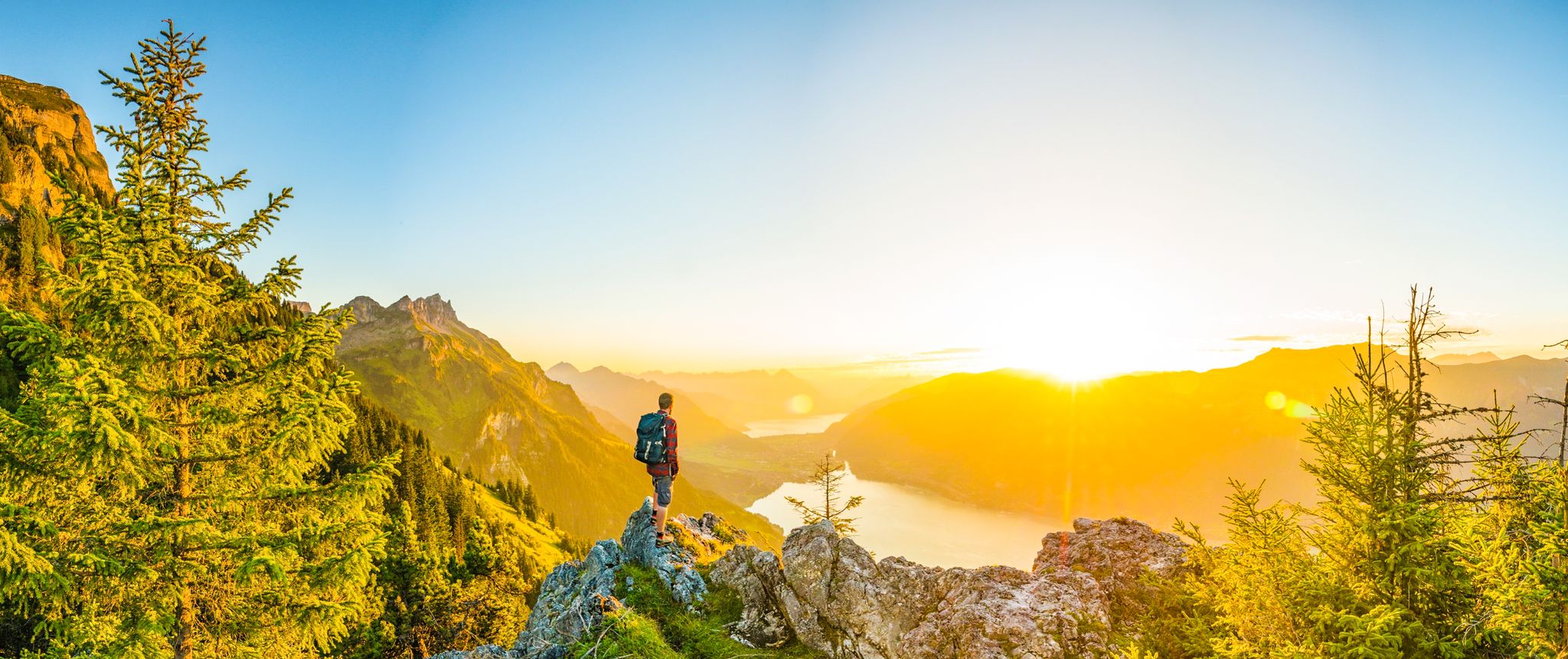
Waterfall hiking trails around Harder Kulm are set within a landscape characterized by steep mountain slopes, dense forests, and the deep blue waters of Lake Brienz. The region's geology contributes to numerous cascades and streams, creating a dynamic environment for hikers. Elevation changes are common, ranging from lakeside paths to higher viewpoints. This area offers a variety of routes that highlight its natural water features and alpine scenery.
Best waterfall hiking trails around Harder Kulm
- The most popular waterfall hiking route is Eschwandenbach Waterfall – Iseltwald Harbor loop from Bönigen, an 8.4 miles (13.5 km) trail that takes 4 hours 5 minutes to complete. This moderate route features the Eschwandenbach Waterfall and views of Lake Brienz.
- Another top favourite among local hikers is Erschwandenbach – View of Lake Brienz loop from Erschwanden, a moderate 5.8 miles (9.4 km) path. This trail offers panoramic views of Lake Brienz and passes by the Erschwandenbach.
- Local hikers also love the Lake Brienz Lakeside Trail – Grandhotel Giessbach loop from Lake Brienz, an 11.7 miles (18.9 km) trail leading through lakeside paths and forested sections, often completed in about 5 hours 8 minutes.
- Hiking around Harder Kulm is defined by mountain vistas, forested slopes, and the presence of Lake Brienz, with numerous waterfalls along the routes. The network offers options for different ability levels, from moderate climbs to more challenging long-distance paths.
- The routes in Harder Kulm are highly rated by the komoot community with an average score of 4.7 stars from more than 900 reviews. More than 7,000 hikers have used komoot to explore Harder Kulm's varied terrain.
Last updated: July 9, 2026
4.3
(12)
107
hikers
13.5km
04:05
380m
380m
Moderate hike. Good fitness required. Mostly accessible paths. Sure-footedness required.
5.0
(2)
5
hikers
8.98km
03:46
740m
740m
Moderate hike. Good fitness required. Easily-accessible paths. Suitable for all skill levels.

Sign up for free
4.7
(39)
226
hikers
16.1km
04:44
440m
440m
Moderate hike. Good fitness required. Easily-accessible paths. Suitable for all skill levels.
4.7
(23)
132
hikers
19.1km
05:10
260m
260m
Hard hike. Very good fitness required. Easily-accessible paths. Suitable for all skill levels.
3
hikers
20.1km
07:31
1,200m
1,200m
Hard hike. Very good fitness required. Mostly accessible paths. Sure-footedness required.
Our route recommendations are based on thousands of hikes, rides, and runs completed by other people on komoot.
Start today with a free account
Your next adventure awaits.
Login or Signup



Tips from the Community

The perfect place to practice your Korean in a bucolic setting.
0
0

Lake Brienz Lake Brienz is located in the Bernese Oberland between the communities of Interlaken in the west and Brienz in the east. The lake area is located in the communities of Ringgenberg, Niederried, Oberried and Brienz on the northern shore of the lake and Interlaken, Bönigen and Iseltwald on the southern shore. The large Bernese Oberland lake is fed by many mountain streams, mainly by the Aare in the east and the Lütschine in the west. At Interlaken, the Aare flows out of the turquoise-blue Lake Brienz and flows back into Lake Thun a little later in the Weissenau area. At normal water levels, the lake is at an altitude of 564 meters above sea level. With an area of almost 30 square kilometers, Lake Brienz is the eleventh largest lake in Switzerland and the third largest in the canton of Bern after Lake Thun and Lake Biel. It stretches 14km in an east-west direction and is almost three kilometers wide. There is only one island in Lake Brienz. The snail island - dialect: Schnäggeninseli - is located around 250m from the shore near Iseltwald. The circumference of Lake Brienz is almost 35km. The annual Lake Brienz Run circles the lake along the shore. Text / Source: Schweizersee.ch https://www.schweizersee.ch/brienzersee/
12
0
Swimming in Lake Brienz The clear but often cold Lake Brienz offers only a few wild bathing spots due to the steep slopes, but is considered the cleanest lake in Switzerland. There are four lidos spread around the lake. These are the Niederried outdoor pool, the Bönigen lido, the Iseltwald lido and the Brienz lido. An overview of the four lidos can be found here: «Lake Brienz lidos». If you need warmer temperatures for your bathing fun, the nearby Burgseeli in Ringgenberg is recommended. Text / Source: Schweizersee.ch https://www.schweizersee.ch/brienzersee/
12
0

A visit to Iseltwald is often combined with a boat trip on the turquoise-blue Lake Brienz, because especially in spring and summer there are hardly any nicer ways to be chauffeured from A to B. If you want to include a boat trip in your hiking program, it is worth taking a quick look at the BLS Schifffahrt AG timetable beforehand. This way you can plan your arrival in Iseltwald accordingly. https://www.bls-schiff.ch/de
1
1

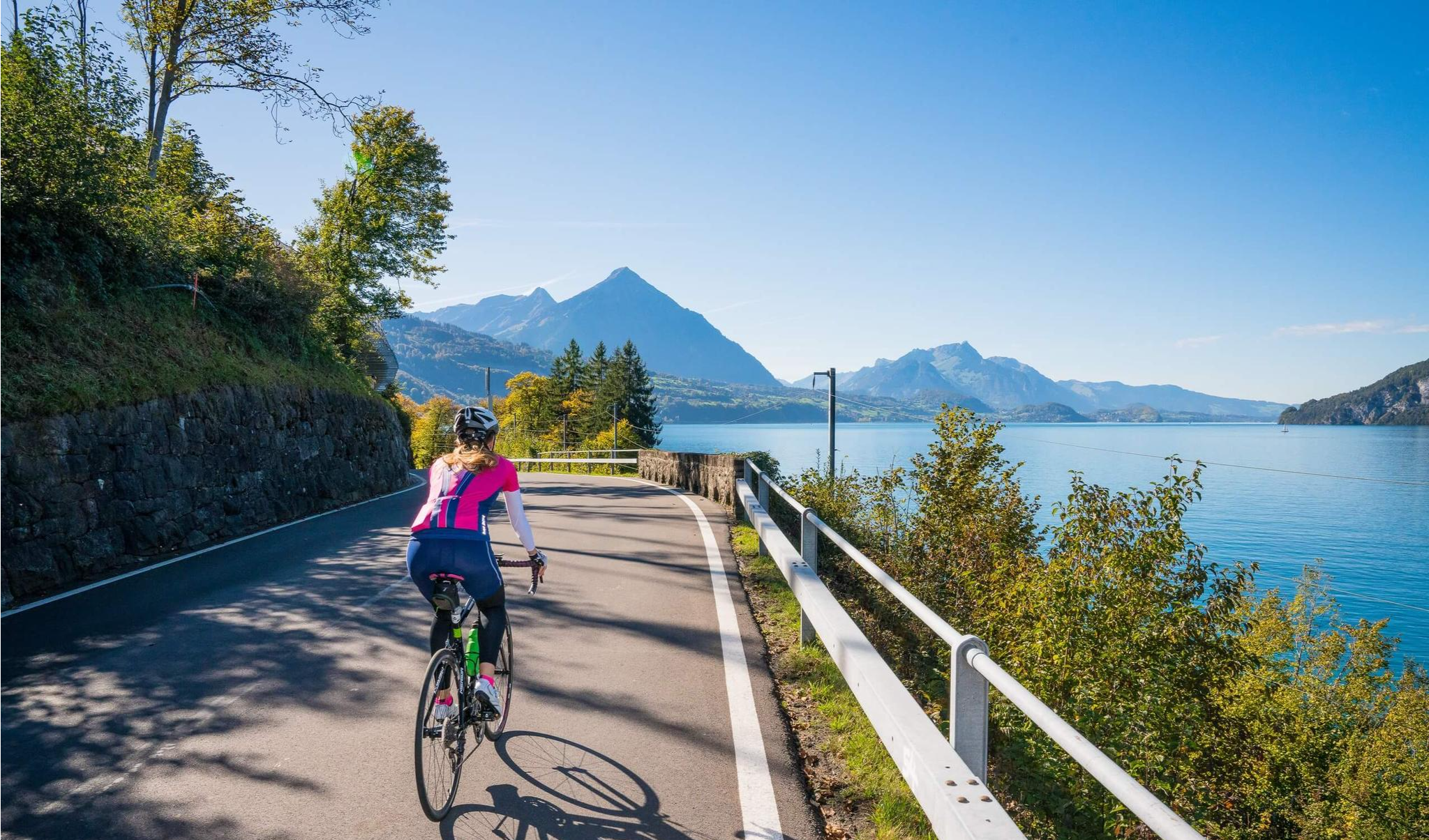
On this lakeside trail, you can admire breathtaking turquoise waters framed by dramatic Alpine peaks. The trail offers easy, well-maintained tracks that wind through lush forests and past picturesque Swiss villages, making it an ideal place for a leisurely stroll. This route is particularly beautiful in the morning light or late afternoon, when you can catch a glimpse of the golden reflections of the lake.
0
0

Fantastically beautiful place, the hotel offers very beautiful views of the lake and waterfalls
1
0
At Giessbachfall I, you’ll have breathtaking views of Lake Brienz, framed by the cascading Giessbach Falls, which tumble down lush, forested cliffs. The turquoise lake lies serenely below, contrasting beautifully with the powerful, misty falls rushing past you. A historic footbridge allows you to cross directly behind the waterfall, adding a touch of adventure.
0
0

A scenic trail along the beautiful Lake Brienz.🚶♂️🌊 The route offers breathtaking views of the turquoise lake and the surrounding mountains. 🏔️Perfect for a relaxing stroll or an easy hike.🌿
0
0
Frequently Asked Questions
How many waterfall hiking trails are available around Harder Kulm?
There are 6 dedicated waterfall hiking trails around Harder Kulm, offering a range of experiences from moderate to difficult. These routes are highly rated by the komoot community, with an average score of 4.7 stars.
Are there any circular waterfall hikes in the Harder Kulm area?
Yes, several routes are designed as loops, allowing you to start and end at the same point. For example, the Eschwandenbach Waterfall – Iseltwald Harbor loop from Bönigen is a moderate 8.4-mile (13.5 km) trail, and the Erschwandenbach – View of Lake Brienz loop from Erschwanden offers a 5.8-mile (9.4 km) moderate option.
What do other hikers enjoy most about the waterfall trails near Harder Kulm?
The area is highly rated by the komoot community, with an average score of 4.7 stars from over 900 reviews. Hikers frequently praise the stunning mountain vistas, the refreshing presence of Lake Brienz, and the numerous beautiful waterfalls along the routes. The diverse terrain, from lakeside paths to forested slopes, is also a highlight.
Are there any family-friendly waterfall hikes suitable for beginners?
While there are no routes explicitly rated as 'easy' in the data, some moderate trails might be suitable for families with older children or those accustomed to hiking. The region's trails often involve elevation changes, so consider the fitness level of all participants. Always check the route details for distance and elevation before setting out.
What other attractions can I explore near the waterfall trails?
The Harder Kulm region offers more than just waterfalls. You can visit the Two lakes footbridge - Harder Kulm viewing platform for panoramic views, or explore the town of Interlaken. The Interlaken Ost Boat Terminal (Lake Brienz) is also nearby, offering connections for further exploration of the lake.
What is the best time of year to hike the waterfall trails around Harder Kulm?
The spring and summer months (May to September) are generally ideal for hiking around Harder Kulm. During spring, snowmelt ensures the waterfalls are at their most powerful, while summer offers warmer temperatures and lush green scenery. Autumn also provides beautiful foliage, though water levels might be lower.
Are there any less crowded waterfall trails or hidden gems?
To find less crowded trails, consider exploring routes that are slightly longer or have more significant elevation gain, as these tend to attract fewer casual visitors. The View of the Giessbach Falls – Lower Giessbach Falls loop from Lake Brienz, though difficult, offers a more extensive experience away from the most popular spots.
What should I wear for waterfall hiking in this region?
Given the varied terrain and potential for spray near waterfalls, it's advisable to wear sturdy, waterproof hiking boots with good grip. Layered clothing is recommended to adapt to changing weather conditions, and a waterproof jacket is essential. Don't forget sun protection, a hat, and plenty of water.
Is public transport available to access the waterfall trails?
The Harder Kulm region is well-served by public transport, including trains and buses that connect to trailheads. Many routes, such as those starting from Lake Brienz, are accessible via boat or bus services. Always check local timetables for the most up-to-date information on connections to your chosen starting point.
Are there opportunities for wild swimming near the waterfalls?
While the region is rich in water features, including Lake Brienz, direct wild swimming opportunities at the base of waterfalls can be limited due to safety concerns, strong currents, and cold water temperatures. However, Lake Brienz itself offers designated swimming areas. Always prioritize safety and adhere to local regulations regarding swimming in natural waters.
Can I bring my dog on the waterfall hiking trails?
Many hiking trails in Switzerland are dog-friendly, but it's always best to check specific route regulations. Dogs should generally be kept on a leash, especially in nature reserves, near livestock, or in crowded areas. Be prepared to carry water for your dog and clean up after them. Some trails might have sections that are challenging for pets.
Are there any cafes or refreshment stops along the waterfall routes?
Depending on the specific trail, you may find mountain restaurants or cafes, particularly near popular viewpoints or larger waterfalls like the Giessbach Falls. For instance, the Lake Brienz Lakeside Trail – Grandhotel Giessbach loop from Lake Brienz passes by the historic Grandhotel Giessbach, which offers dining options. It's always wise to carry snacks and drinks, especially on longer or more remote trails.
Most popular routes around Harder Kulm
Most popular attractions around Harder Kulm

Get inspired with the komoot mobile app


Explore more
Browse the best Hikes in other regions.
