The best mountain hikes around Fraubrunnen
5.0
(13)
54
hikers
3
hikes
Mountaineering routes around Fraubrunnen offer challenging ascents through varied terrain, despite the immediate vicinity being characterized by a forested and hilly moraine landscape. The region provides access to routes with significant elevation changes, leading to viewpoints and summits. These paths often traverse dense woodlands and open sections, requiring good physical condition. The available mountaineering routes are all classified as difficult, indicating substantial climbs and technical sections.
Best mountaineering routes around Fraubrunnen
- The most popular mountaineering route is Herrenloch Cave –…
Last updated: May 11, 2026
5.0
(3)
23
hikers
7.79km
03:44
650m
650m
Hard mountaineering route. Good fitness required. Sure-footedness, sturdy shoes and alpine experience required.
7
hikers
7.52km
03:49
630m
620m
Hard mountaineering route. Good fitness required. Sure-footedness, sturdy shoes and alpine experience required.

Sign up for free
5.0
(2)
4
hikers
14.1km
06:04
900m
900m
Hard mountaineering route. Very good fitness required. Sure-footedness, sturdy shoes and alpine experience required.
5.0
(1)
6
hikers
6.17km
03:55
710m
710m
Hard mountaineering route. Good fitness required. Sure-footedness, sturdy shoes and alpine experience required.
5.0
(3)
5
hikers
14.9km
06:01
890m
890m
Hard mountaineering route. Very good fitness required. Mostly accessible paths. Sure-footedness required.
5.0
(1)
4
hikers
12.5km
04:44
760m
760m
Hard mountaineering route. Good fitness required. Sure-footedness, sturdy shoes and alpine experience required.
5.0
(3)
5
hikers
15.6km
05:34
810m
810m
Hard mountaineering route. Very good fitness required. Mostly accessible paths. Sure-footedness required.
1
hikers
9.68km
04:28
730m
730m
Hard mountaineering route. Good fitness required. Sure-footedness, sturdy shoes and alpine experience required.
Our route recommendations are based on thousands of hikes, rides, and runs completed by other people on komoot.
Start today with a free account
Your next adventure awaits.
Login or Signup


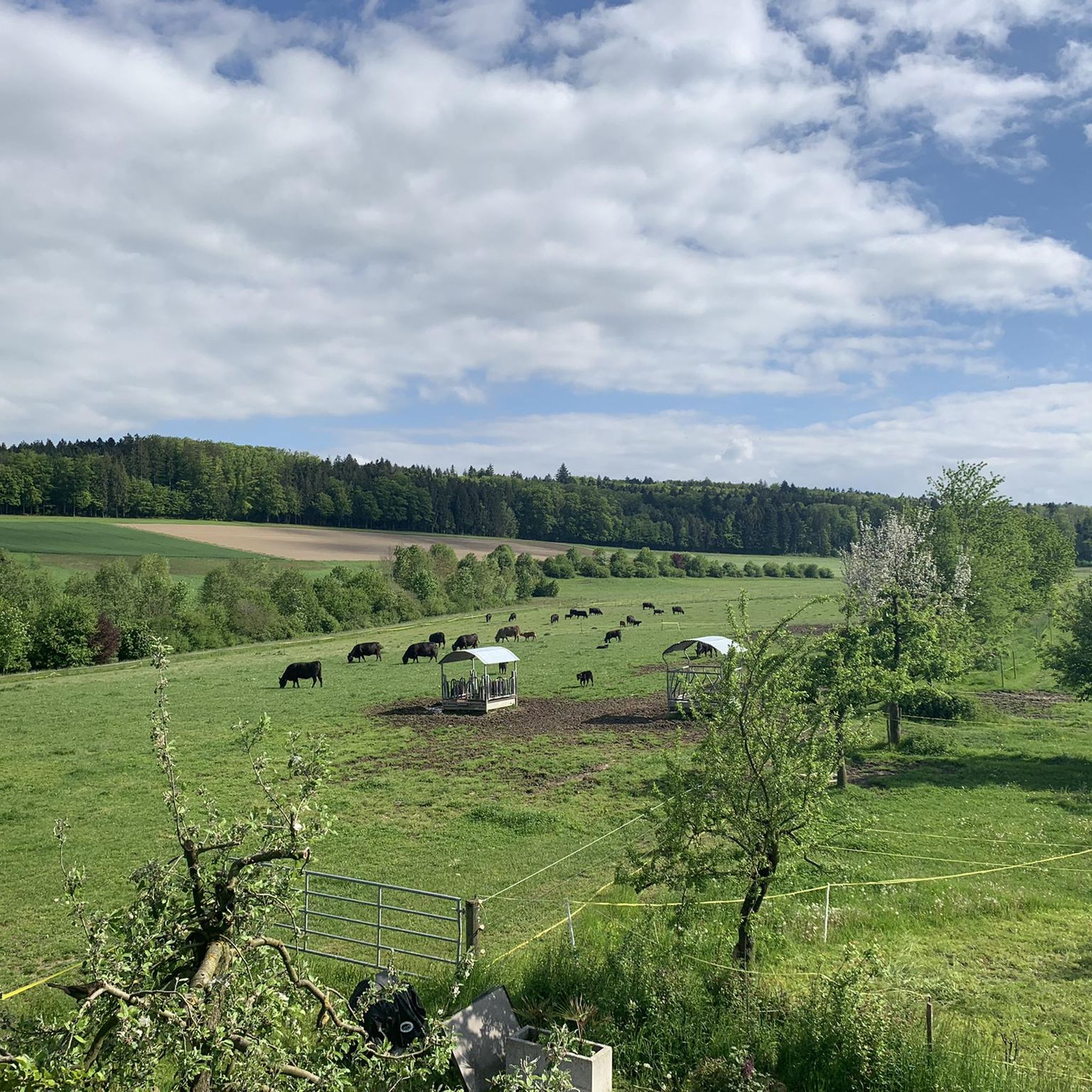
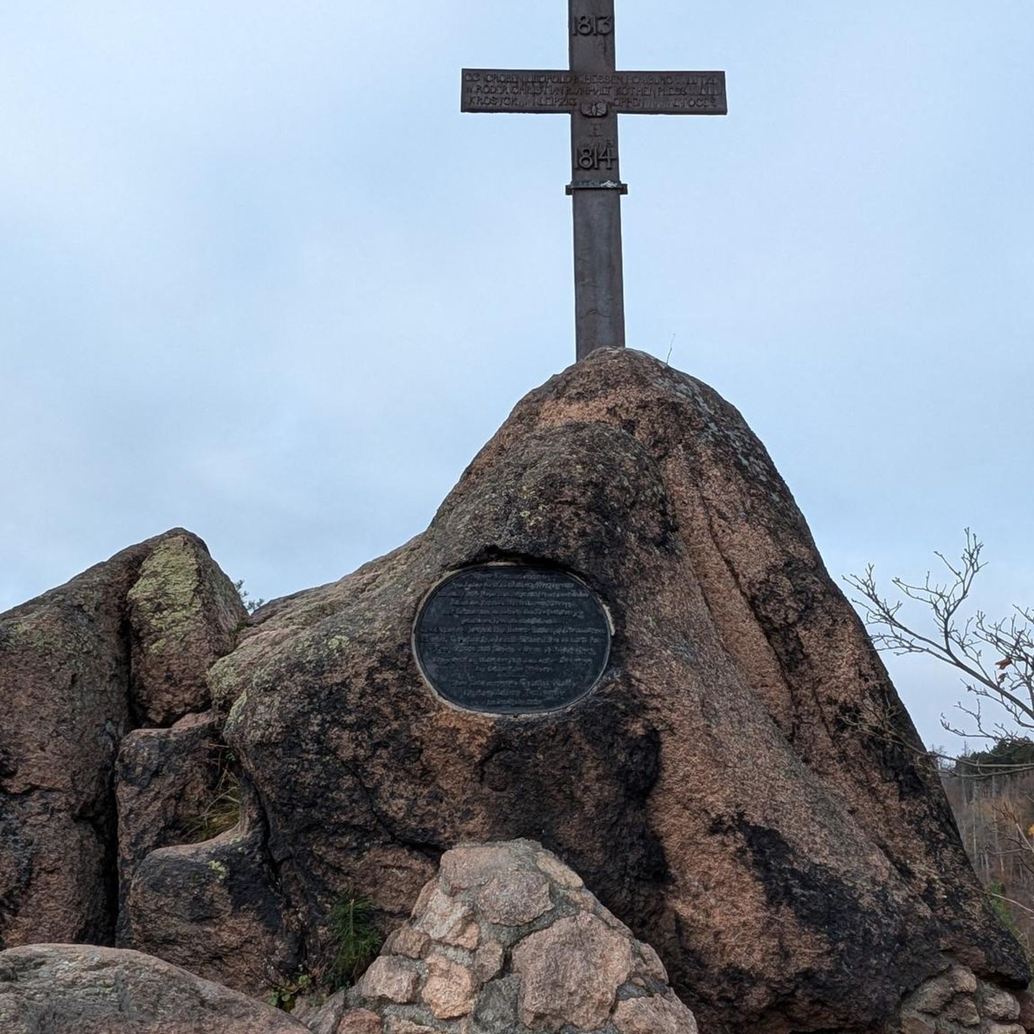
Tips from the Community

pretty here, very very pretty. Is worth a visit.
1
2
Frequently Asked Questions
What kind of mountaineering challenges can I expect around Fraubrunnen?
The mountaineering routes around Fraubrunnen are generally classified as difficult, featuring substantial elevation gains and varied terrain. You can expect challenging ascents and descents, often traversing dense woodlands and open sections, requiring good physical condition. For example, the Gitziflue Viewpoint – Hasenmatt Summit Cross loop from Oberdorf SO involves nearly 3,000 feet (898 meters) of elevation gain.
Are there any easy or beginner-friendly mountaineering routes near Fraubrunnen?
Based on the available routes, all mountaineering trails around Fraubrunnen are classified as difficult. They involve significant elevation changes and require a good level of fitness and experience. There are no easy or beginner-specific mountaineering routes listed in this selection.
How long do the mountaineering routes typically take to complete?
The duration of the mountaineering routes varies depending on the specific trail and your pace. For instance, the Herrenloch Cave – View from Balmfluehchöpfli loop from Rüttenen typically takes around 3 hours 41 minutes, while longer routes like the Gitziflue Viewpoint – Hasenmatt Summit Cross loop from Oberdorf SO can take approximately 6 hours 2 minutes.
What are some notable natural features or landmarks I might encounter on these routes?
While Fraubrunnen itself is known for its gentle moraine landscape, the mountaineering routes in the broader region offer access to viewpoints and summits. You might encounter features like the Herrenloch Cave or enjoy views from Balmfluehchöpfli. For more general attractions in the Fraubrunnen area, you could explore the picturesque Emme River or the serene Limpach Valley.
Are the mountaineering routes around Fraubrunnen circular?
Yes, all the mountaineering routes listed for the Fraubrunnen area are designed as circular loops. This means you will typically start and end your journey at the same point, such as the View from Balmfluehchöpfli – Herrenloch Cave loop from Rüttenen.
What do other mountaineers say about the routes around Fraubrunnen?
The mountaineering routes around Fraubrunnen are highly regarded by the komoot community, holding an average rating of 5.0 stars from 8 reviews. Mountaineers often appreciate the challenging ascents, varied terrain, and panoramic viewpoints offered by these trails.
Is Fraubrunnen suitable for family-friendly outdoor activities, given the difficult mountaineering routes?
While the specific mountaineering routes listed are difficult and not typically suitable for families with young children, the broader Fraubrunnen region is known for its gentler outdoor activities. Its forested and hilly moraine landscape is ideal for various hiking and cycling routes without significant elevation differences, which might be more suitable for families. However, for the listed mountaineering routes, a high level of fitness is required.
Can I bring my dog on the mountaineering routes near Fraubrunnen?
While many trails in Switzerland are dog-friendly, the difficulty and technical nature of these specific mountaineering routes mean they might not be suitable for all dogs, especially those unaccustomed to challenging terrain or long ascents. It's always advisable to check local regulations and ensure your dog is fit for such strenuous activity. There are no specific restrictions mentioned for these routes, but caution is advised.
What is the best time of year for mountaineering around Fraubrunnen?
The best time for mountaineering in this region is typically during the warmer months, from late spring to early autumn (May to October), when trails are clear of snow and ice. During these periods, you'll experience more stable weather conditions and longer daylight hours, which are crucial for difficult routes with significant elevation changes. Winter mountaineering would present additional challenges due to snow and ice, requiring specialized equipment and experience.
Are there any historical sites or castles near the mountaineering areas?
While the mountaineering routes themselves focus on natural terrain, the wider Fraubrunnen area is home to several historic sites. You can find attractions like Landshut Castle and Jegenstorf Castle, both offering picturesque surroundings for walks and exploration. Fraubrunnen Abbey is another historic landmark in the vicinity.
How many mountaineering routes are available around Fraubrunnen?
There are 8 distinct mountaineering routes detailed around Fraubrunnen, all of which are classified as difficult. These routes offer varied challenges and opportunities for experienced mountaineers.
Are there any routes that offer particularly good viewpoints?
Many of the routes are designed to lead to panoramic viewpoints. For example, the Hasenmatt Summit Cross – View from Hasenmatt loop from Oberdorf SO and the View from Balmfluehchöpfli – Röti Summit (1,395 m) loop from Rüttenen are specifically named for their scenic outlooks and summit experiences.
Most popular routes around Fraubrunnen
Most popular attractions around Fraubrunnen

Get inspired with the komoot mobile app


Didn’t find what you were looking for?
Check out more Mountain Hikes & Routes throughout Fraubrunnen below and find the perfect route in your destination.
Explore more
Browse the best Mountain Hikes & Routes in other regions.
