The best mountain hikes around Mervelier
5.0
(7)
66
hikers
6
hikes
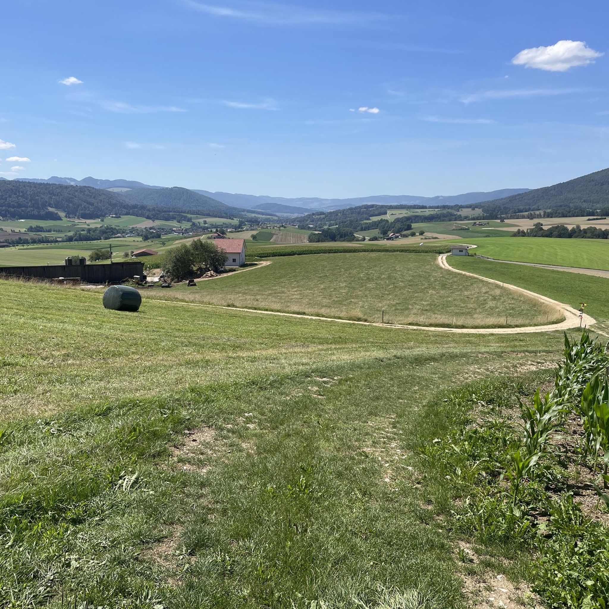
Mountaineering routes around Mervelier traverse the varied terrain of the District de Delémont, characterized by significant elevation changes and natural features. The region features prominent summits like Röti and offers routes through dense woodlands and past notable rock formations. These trails provide access to elevated viewpoints and challenging ascents.
Best mountaineering routes around Mervelier
- The most popular mountaineering route is View from Balmfluehchöpfli – Herrenloch Cave loop from Balm b. Günsberg, a 2.9 miles (4.7 km) trail that takes…
Last updated: October 11, 2026
5.0
(3)
23
hikers
7.43km
03:28
620m
620m
Hard mountaineering route. Good fitness required. Sure-footedness, sturdy shoes and alpine experience required.
5.0
(2)
12
hikers
4.88km
03:13
550m
550m
Hard mountaineering route. Good fitness required. Sure-footedness, sturdy shoes and alpine experience required.

8
hikers
7.77km
03:56
640m
630m
Hard mountaineering route. Good fitness required. Sure-footedness, sturdy shoes and alpine experience required.
5.0
(1)
8
hikers
7.86km
02:48
370m
370m
Hard mountaineering route. Good fitness required. Sure-footedness, sturdy shoes and alpine experience required.
5
hikers
7.14km
03:24
610m
600m
Hard mountaineering route. Good fitness required. Sure-footedness, sturdy shoes and alpine experience required.
Our route recommendations are based on thousands of hikes, rides, and runs completed by other people on komoot.
Start today with a free account
Your next adventure awaits.
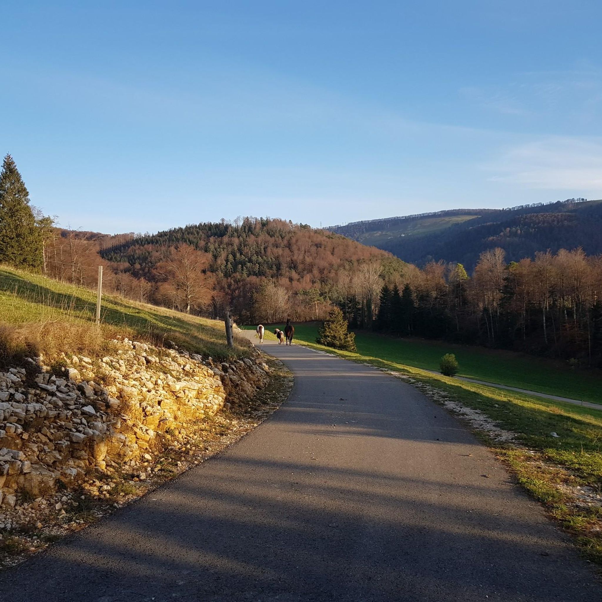
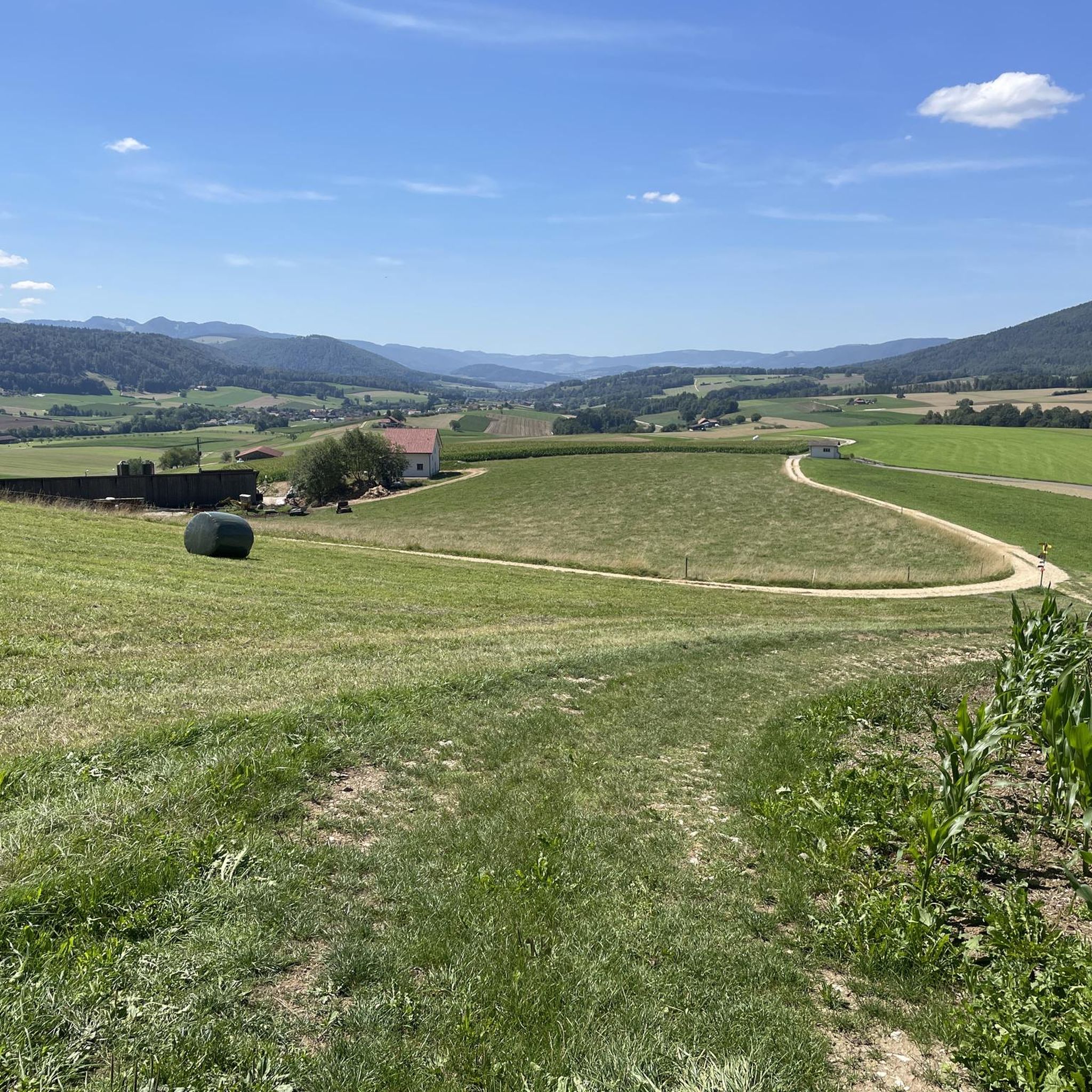
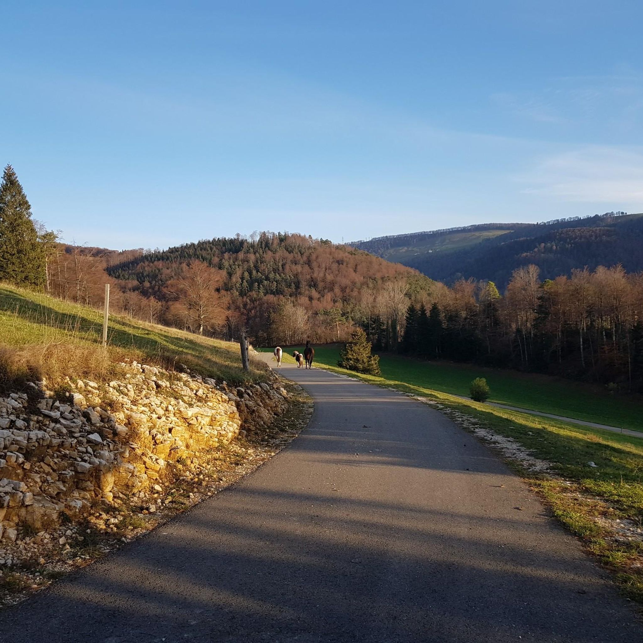
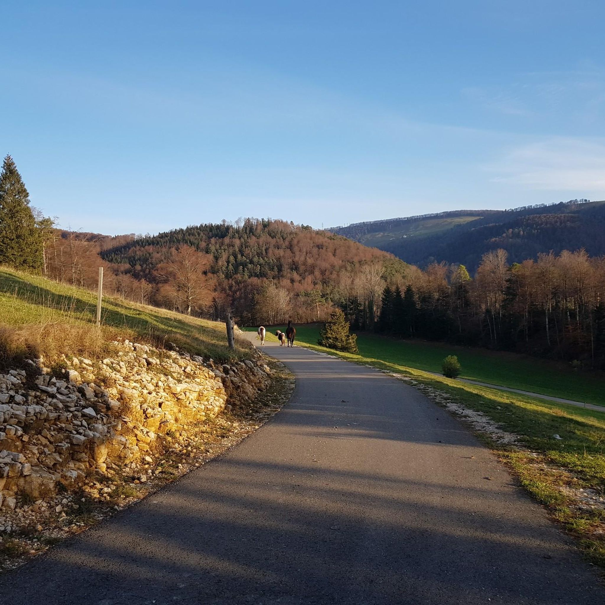
Tips from the Community

pretty here, very pretty
1
0

The Herrenloch is a cave with two entrances - a kind of tunnel - below the Balmfluechöpfli. It can be reached by trails both from the west ridge of the Balmfluechöpfli and as the end of the Hornpfad. The exit on the east side is reserved for the very experienced only; there has also been a fatal fall here. From the western entrance of the Herrenloch, you can also climb directly to the summit of the Balmfluechöpfli via trails.
0
0

I reached the Herrenloch via the Hornpfad, which should only be walked uphill due to the danger of rockfall.
1
2

A tiny cave that can be reached on the way to or from Balmfluechöpfli via a T5 route. The route is well marked and secured, but sturdy shoes and surefootedness are recommended.
2
0
A T5 route has been created from the Herrenloch exit to the summit of Balmfluechöpfli. The route is well-secured and marked, but you should still wear sturdy shoes and be sure-footed.
2
0

A very cool trail for experienced bikers! It starts off technical, then becomes flowy.
0
0

The Balmfluh castle ruins are clearly visible from the trail. It's worth getting off your bike for a moment and taking a look at the old walls.
1
0

Certainly not for the faint of heart... But a perfect adventure
2
1
Frequently Asked Questions
What is the overall difficulty level of mountaineering routes around Mervelier?
Mountaineering routes in Mervelier are generally challenging. There are 7 routes available, with 4 rated as difficult and 3 as moderate. There are no easy routes, indicating that the terrain often involves significant elevation changes and requires a good level of fitness.
Are there any family-friendly mountaineering options near Mervelier?
The mountaineering routes around Mervelier are primarily rated as moderate to difficult, with no easy options available. This suggests they might be challenging for young children or families seeking very gentle walks. However, families with older, experienced children who are comfortable with significant climbs could consider a moderate route like the Röti Summit (1,395 m) loop from Balm b. Günsberg, which is 4.7 km long.
What kind of natural features can I expect to see on these routes?
The routes around Mervelier traverse varied terrain, including dense woodlands, prominent summits, and notable rock formations. You can explore features like the Herrenloch Cave on routes such as the View from Balmfluehchöpfli – Herrenloch Cave loop from Balm b. Günsberg, or enjoy panoramic views from summits like Röti.
Are there any circular mountaineering routes available?
Yes, many of the mountaineering routes around Mervelier are designed as loops. For example, you can take on the challenging View from Balmfluehchöpfli – Röti Summit (1,395 m) loop from Balm b. Günsberg, or the longer, moderate Cholberg loop from Welschenrohr.
What do other mountaineers say about the routes in Mervelier?
The mountaineering routes in Mervelier are highly regarded by the komoot community, holding an average rating of 5.0 stars from over 7 reviews. Users often highlight the challenging ascents, the rewarding panoramic views from summits, and the diverse landscapes encountered, including forests and rock formations.
What are some notable landmarks or viewpoints along the mountaineering trails?
Mountaineering routes in the Mervelier area offer access to several significant landmarks and viewpoints. You can reach summits like Röti, Hohe Winde Summit, and Balmfluechöpfli Summit, which provide extensive views. The Kaltbrunnental Gorge is another natural highlight in the vicinity.
Are there any beginner-friendly mountaineering routes in Mervelier?
The mountaineering routes around Mervelier are not typically recommended for beginners, as all 7 available routes are rated either moderate or difficult. There are no easy routes in this specific selection, meaning even the moderate options will involve significant climbs and require a reasonable level of fitness and experience.
What is the best time of year for mountaineering in Mervelier?
While specific seasonal data isn't provided, mountaineering in regions with significant elevation changes like Mervelier is generally best enjoyed from late spring through early autumn (May to October). During these months, trails are typically free of snow, and weather conditions are more stable, offering better visibility and safer passage. Always check local weather forecasts before heading out.
What should I wear for mountaineering in Mervelier?
Given the challenging nature of the routes and significant elevation changes, it's essential to wear appropriate mountaineering gear. This includes sturdy hiking boots with good ankle support, layered clothing suitable for varying temperatures, waterproof and windproof outer layers, and a backpack with essentials like water, snacks, a map, and a first-aid kit. The terrain often involves steep ascents and descents, so proper footwear is crucial.
Are there any less crowded mountaineering alternatives around Mervelier?
With 7 routes available, the area offers a focused selection for mountaineering. To find potentially less crowded options, consider exploring routes that are not explicitly highlighted as 'most popular' in the guide's introduction. For instance, the Herrenloch Cave – View from Balmfluehchöpfli loop from Balm b. Günsberg offers a challenging experience through mountainous terrain.
How many mountaineering routes are available in the Mervelier area?
There are 7 dedicated mountaineering routes available around Mervelier, offering a range of experiences from moderate to difficult. These routes are designed to explore the varied terrain of the District de Delémont.
What is the longest mountaineering route in this selection?
Among the listed routes, the Cholberg loop from Welschenrohr is the longest, covering a distance of 12.1 kilometers. This moderate route typically takes around 4 hours and 17 minutes to complete.
Most popular attractions around Mervelier

Get inspired with the komoot mobile app


Explore more
Browse the best Mountain Hikes & Routes in other regions.
