The best mountain hikes around Rothrist
5.0
(1)
10
hikers
Mountaineering routes near Rothrist Switzerland are characterized by hilly terrain and diverse natural landscapes, rather than high-alpine peaks. The region, nestled in the Canton of Aargau, features significant forested areas and is situated along the Aare river, providing varied scenery. With an average elevation of 456 meters and a maximum of 720 meters, the area offers invigorating walks and hikes suitable for different fitness levels.
Best mountaineering routes around Rothrist
- The most popular mountaineering route is Ruins of Neu-Falkenstein Castle…
Last updated: June 24, 2026
2
hikers
Moderate mountaineering route. Good fitness required. Mostly accessible paths. Sure-footedness required.
5.0
(1)
3
hikers
11.2km
03:29
410m
410m
Moderate mountaineering route. Good fitness required. Mostly accessible paths. Sure-footedness required.

Sign up for free
2
hikers
4.88km
01:40
200m
210m
Moderate mountaineering route. Great for any fitness level. Mostly accessible paths. Sure-footedness required.
2
hikers
14.5km
04:48
610m
600m
Moderate mountaineering route. Good fitness required. Mostly accessible paths. Sure-footedness required.
1
hikers
12.3km
03:47
410m
410m
Moderate mountaineering route. Good fitness required. Mostly accessible paths. Sure-footedness required.
Our route recommendations are based on thousands of hikes, rides, and runs completed by other people on komoot.
Start today with a free account
Your next adventure awaits.
Login or Signup
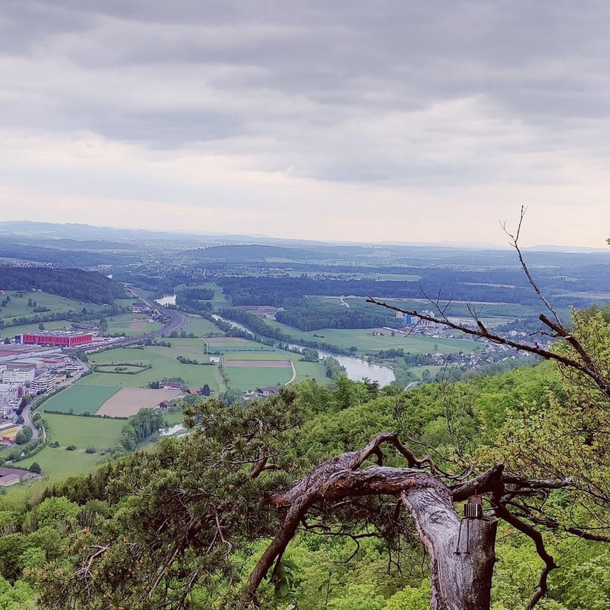
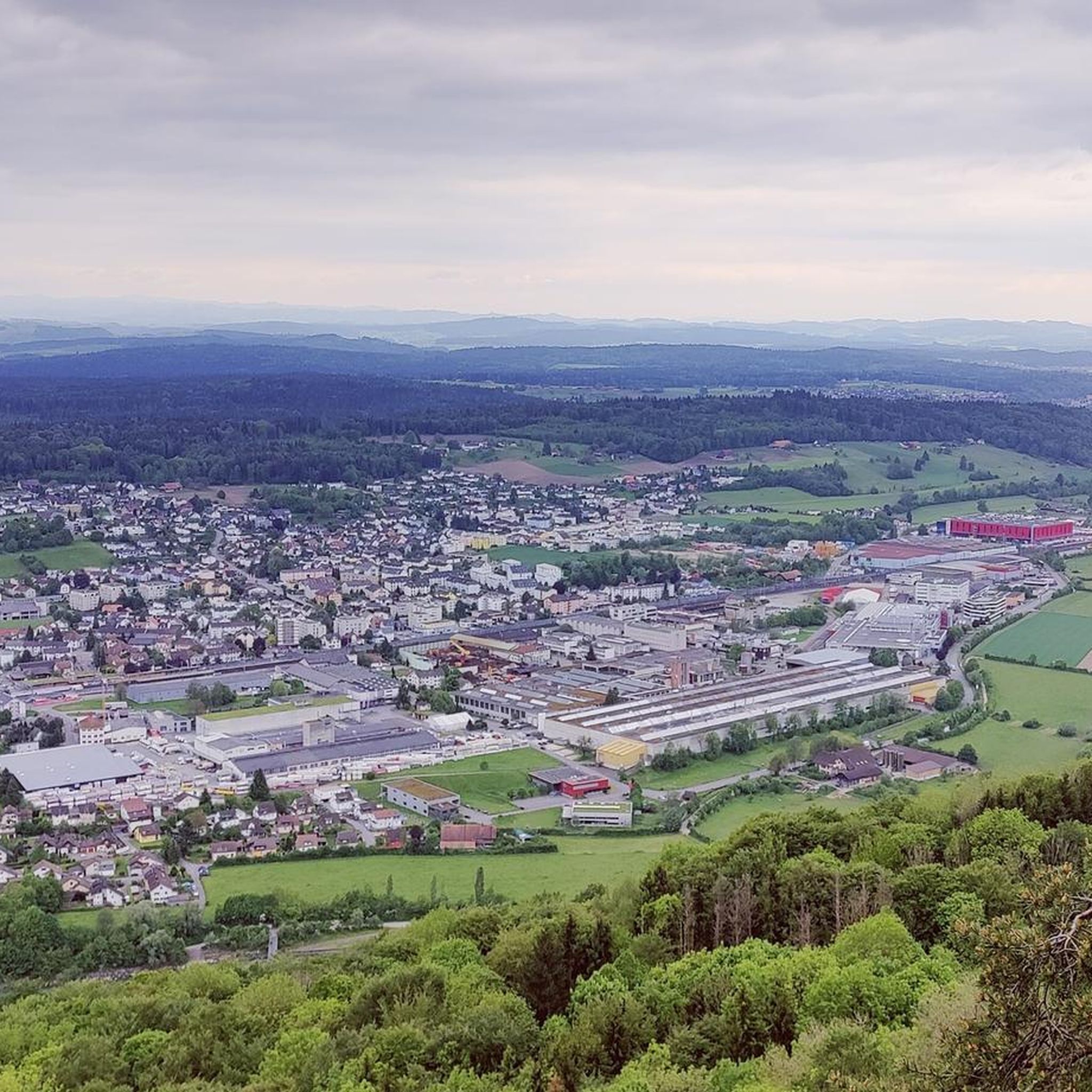
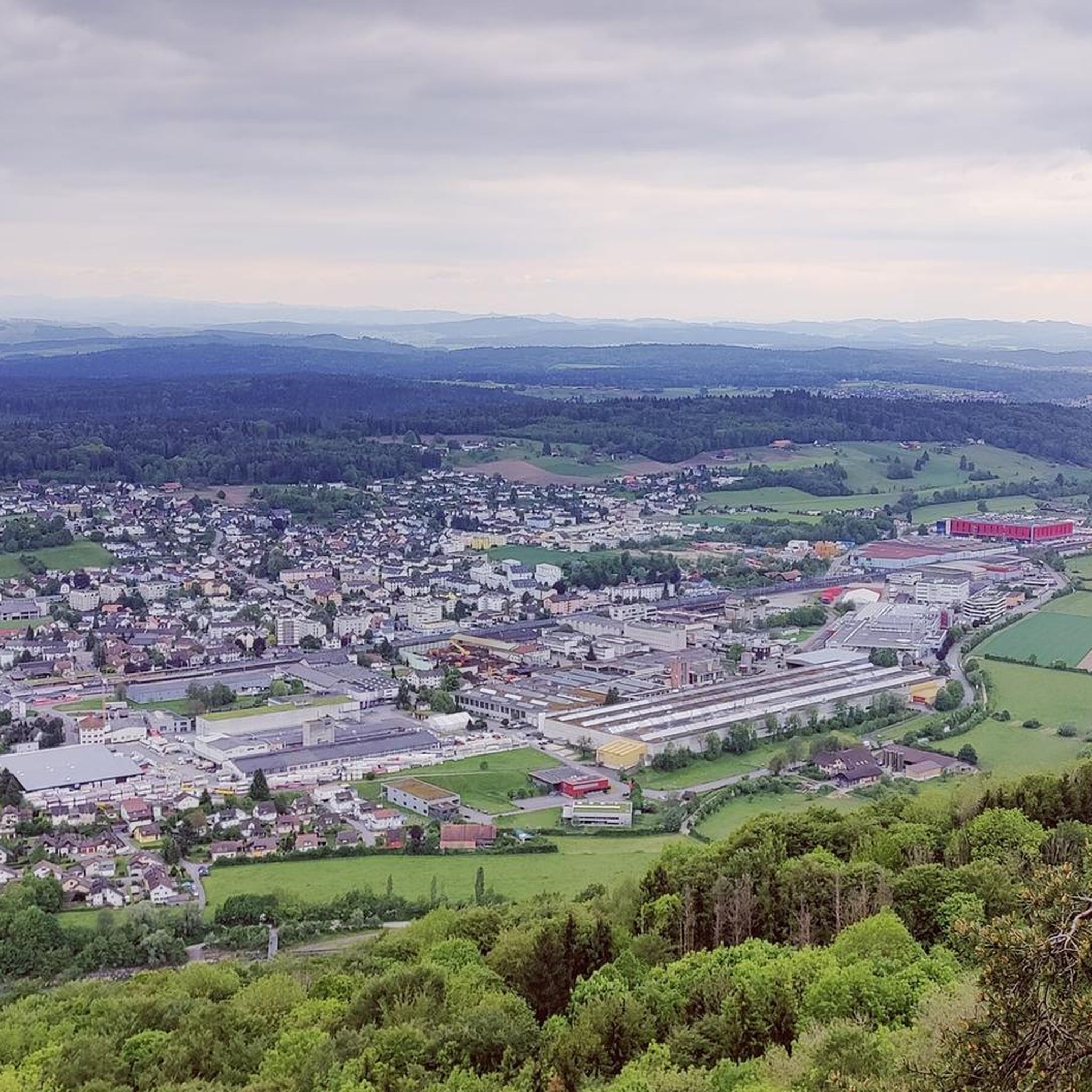
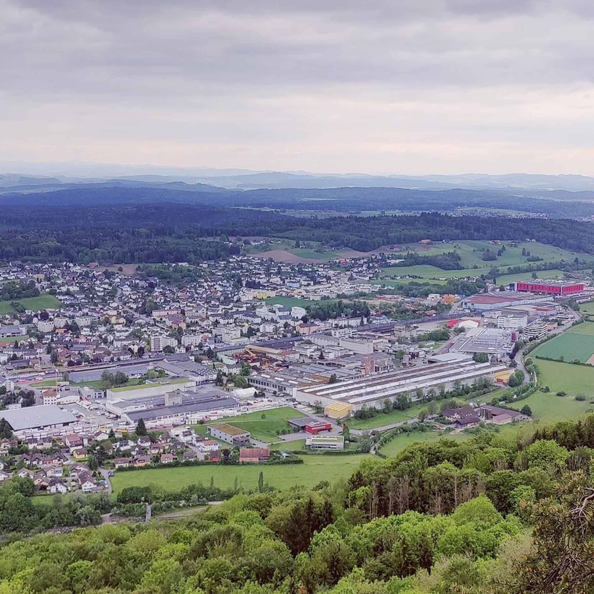
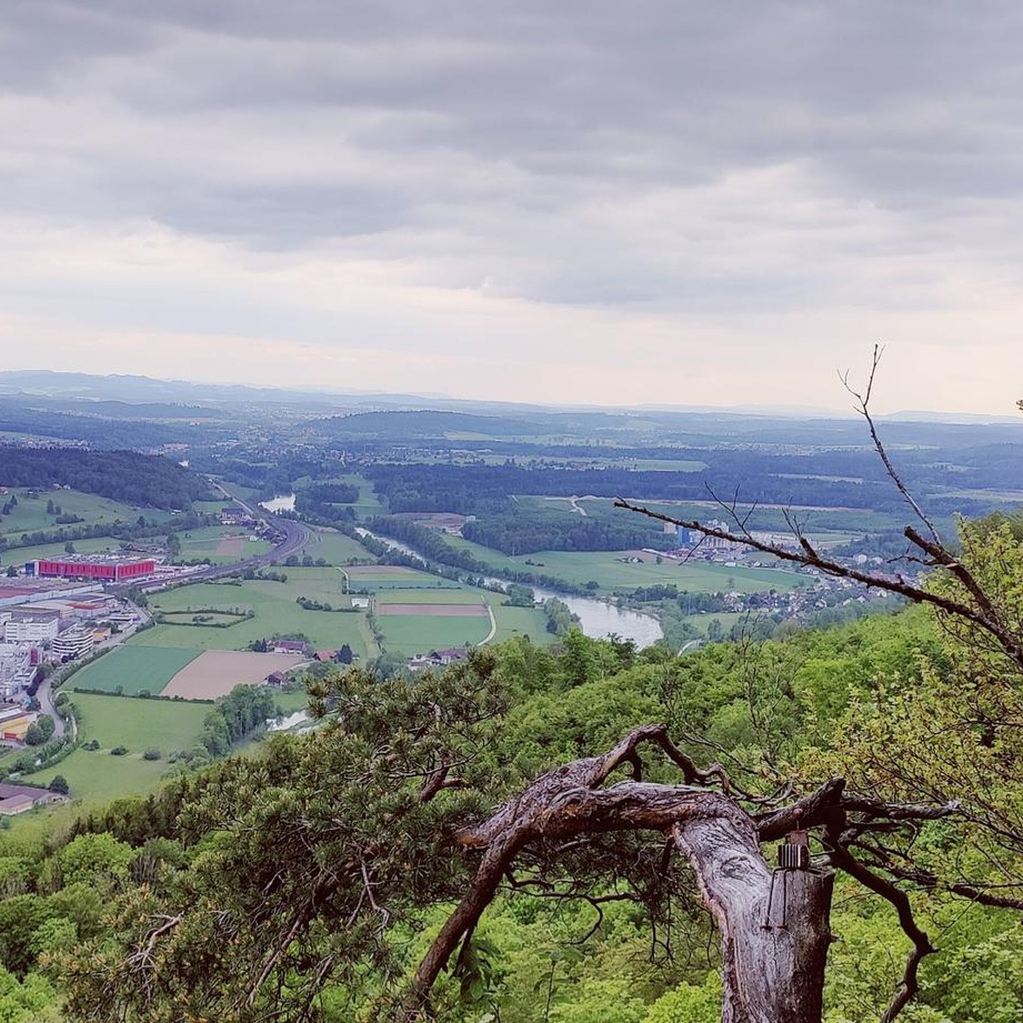
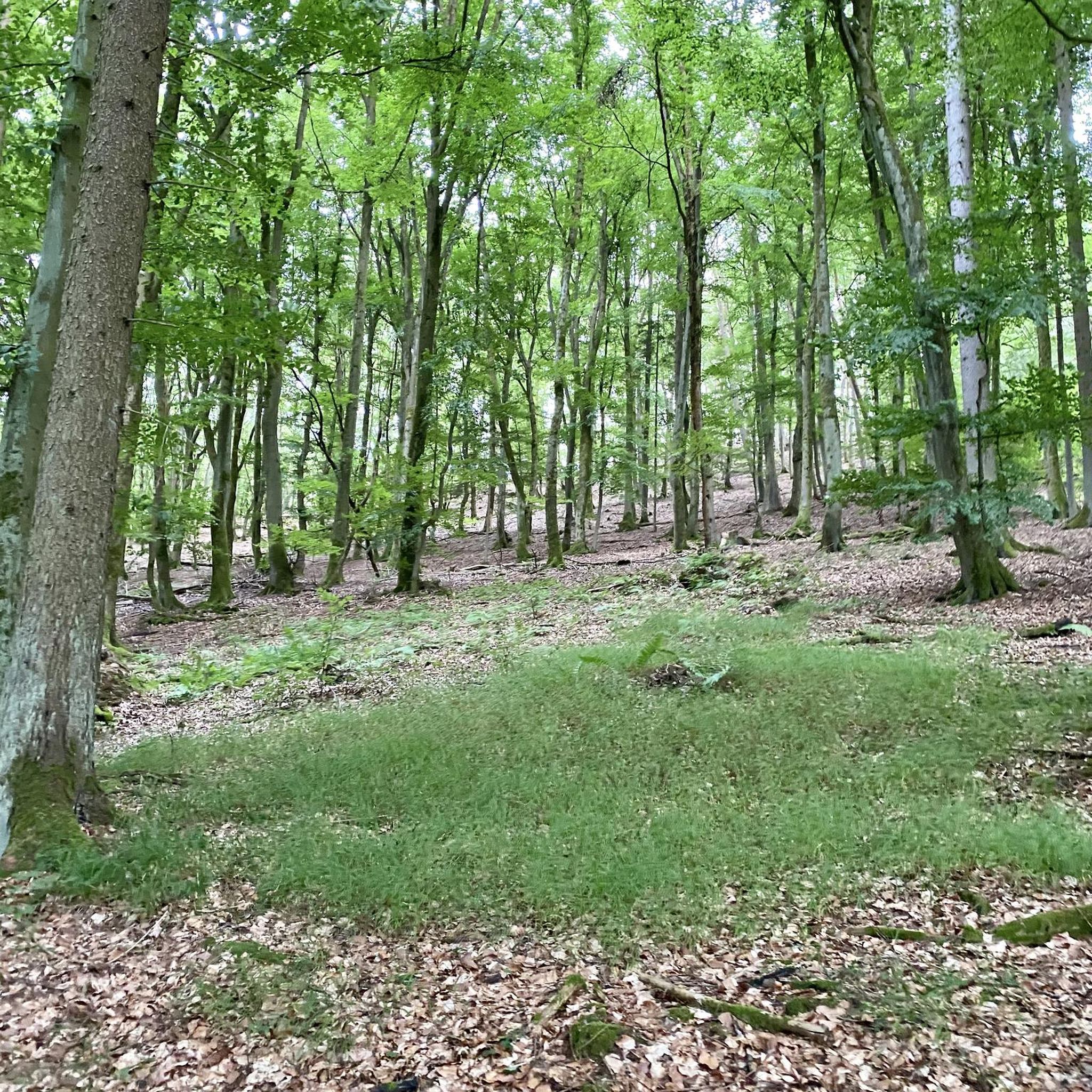
Tips from the Community

Beautiful mountain lodge as a good starting point for a hike across the Belchenflue.
2
0

Ideal resting place with fire pit: carry barbecue food in your backpack!
1
0

A challenging pass in the Tafeljura, the climb is made up of a small road with a maximum gradient of 15% and little traffic. The scenery is very scenic, with magnificent panoramas along the way.
1
1

A brief look back and relics of history. Some information boards along the way describe the events of that time and provide good background information.
1
0

Chamois can often be seen at this spot.
0
0
Nice hike down to the Rhine - a good 30 km.
1
0

Interesting information trail about the First World War
0
0
Impressive viewing point. Former tank turret - part of the First World War memorial trail
0
0
Frequently Asked Questions
How challenging are the mountaineering routes around Rothrist?
The mountaineering routes near Rothrist are generally categorized as moderate to difficult, requiring good fitness and sure-footedness. For example, the Belchenflue Summit Viewpoint – Chilchzimmersattel loop from Langenbruck is considered difficult, covering 15.4 km with over 600 meters of elevation gain. Other routes like the Ruins of Neu-Falkenstein Castle – Roggenschnarz loop from Holderbank SO are moderate.
What kind of natural features and viewpoints can I expect to see on these routes?
You can expect diverse natural landscapes, including significant forested areas and scenic river bends along the Aare. A highlight is the Tüfels Gorge, known for its impressive rock formations and waterfalls after rainfall. Many routes also offer rewarding panoramic views, such as from the Belchenflue Summit Viewpoint, which you can experience on the Chilchzimmersattel – Belchenflue Summit Viewpoint loop from Langenbruck.
Are there any waterfalls or gorges to explore along the mountaineering routes?
Yes, the region is home to the beautiful Tüfels Gorge (Tüfelsschlucht), a natural monument with shaded forests and impressive rock formations. After rainfall, the waterfalls and small streams within the gorge, including the Teufelsschlucht Waterfalls and Pools and Hidden Waterfall, become particularly striking.
When is the best time to go mountaineering in Rothrist?
Rothrist offers opportunities for outdoor activities throughout the year, with forested areas providing shade in summer and varied terrain for invigorating walks in spring and autumn. While not high-alpine, some routes may have specific seasonal conditions, so checking local weather and trail conditions before heading out is always recommended.
Are the mountaineering routes around Rothrist circular?
Yes, all the featured mountaineering routes in this guide are circular loops. This includes routes like the Ruins of Neu-Falkenstein Castle – Roggenschnarz loop from Holderbank SO and the Schneelochberg – Schellenberg loop from Belchenflue, allowing you to start and end at the same point.
What do other mountaineers enjoy most about mountaineering in Rothrist?
The routes in Rothrist are highly rated by the komoot community, with an average score of 5.0 stars. Mountaineers often praise the varied terrain, the rewarding viewpoints like Belchenflue, and the opportunity to explore historical sites such as the World War I Defensive Wall, which can be seen on the World War I Defensive Wall – Chilchzimmersattel loop from Langenbruck.
How many mountaineering routes are available in this guide for Rothrist?
This guide features 5 distinct mountaineering routes around Rothrist, each offering unique landscapes and challenges. These routes range from moderate to difficult, providing options for different experience levels.
Are there any historical sites or landmarks along the routes?
Yes, some routes incorporate historical elements. For instance, the Ruins of Neu-Falkenstein Castle – Roggenschnarz loop from Holderbank SO leads past historical ruins. Additionally, the World War I Defensive Wall – Chilchzimmersattel loop from Langenbruck allows you to explore remnants of a defensive wall.
What is the typical elevation gain on these mountaineering routes?
The elevation gain on these routes varies, reflecting the hilly terrain of the Rothrist region. You can expect ascents ranging from around 200 meters, such as on the Schneelochberg – Schellenberg loop from Belchenflue, up to over 600 meters for more challenging routes like the Belchenflue Summit Viewpoint – Chilchzimmersattel loop from Langenbruck.
Are there options for less crowded mountaineering experiences near Rothrist?
While specific crowd levels can vary, the Rothrist region, with its diverse network of trails through forested areas and along the Aare river, generally offers a more tranquil outdoor experience compared to the high-alpine tourist hotspots. Exploring routes during off-peak hours or weekdays can further enhance a peaceful journey.
Can I find routes suitable for beginners in mountaineering around Rothrist?
The routes listed in this guide are generally rated as moderate to difficult, meaning they require a good level of fitness and some experience. While Rothrist is not a high-alpine destination, these specific mountaineering routes are not typically recommended for absolute beginners without prior hiking experience.
Most popular routes around Rothrist
Most popular attractions around Rothrist

Get inspired with the komoot mobile app


