The best mountain hikes around Degersheim
5.0
(1)
7
hikers
2
hikes
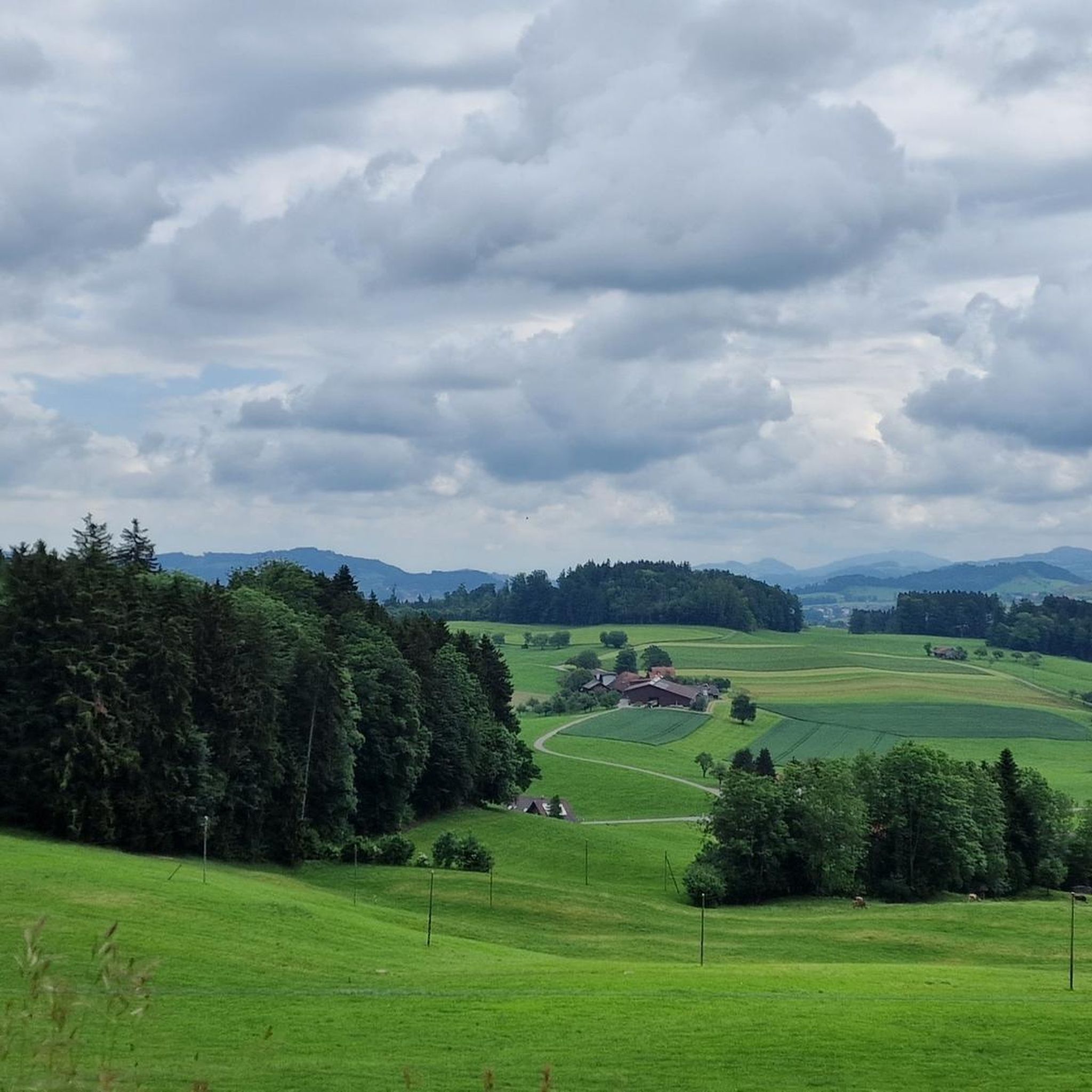
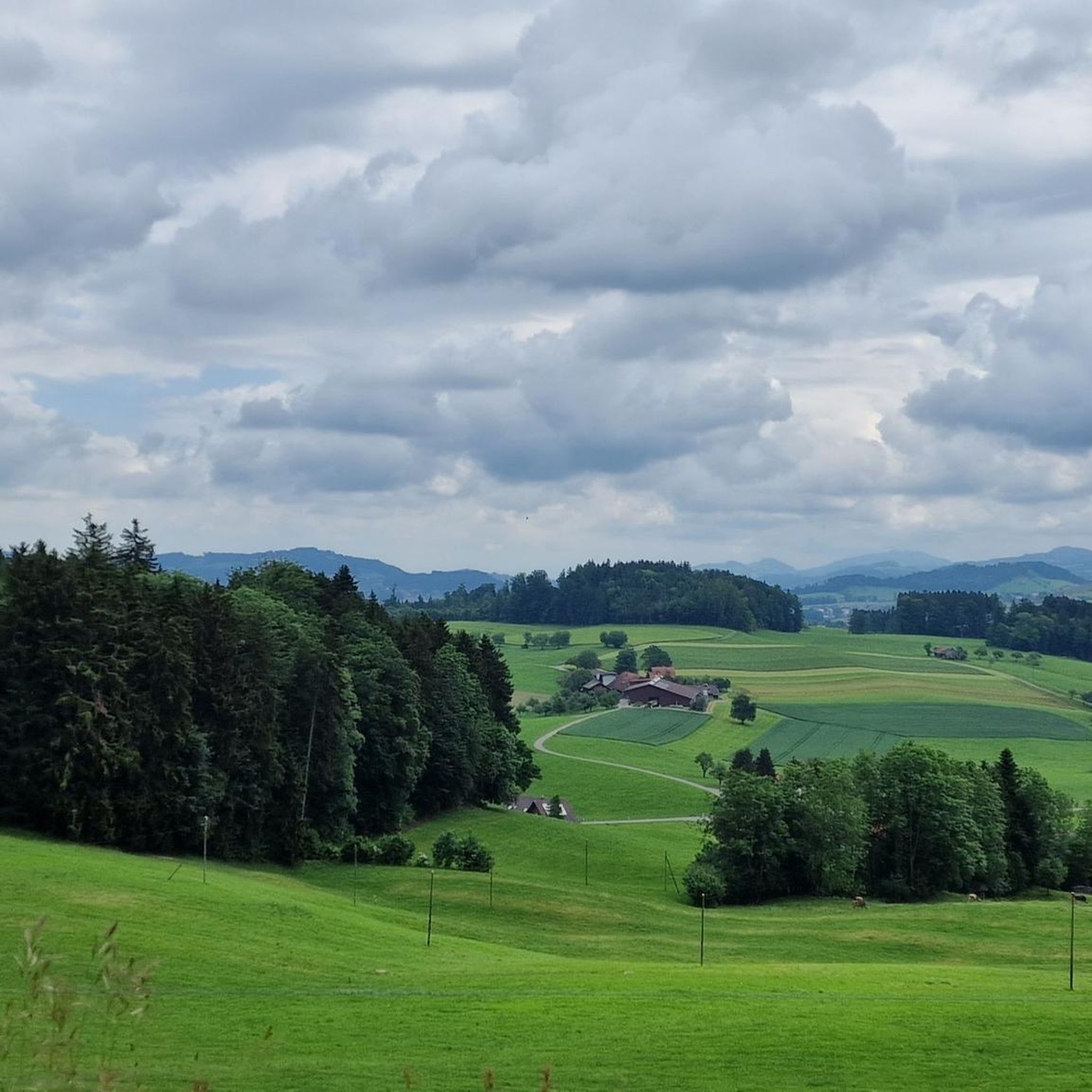
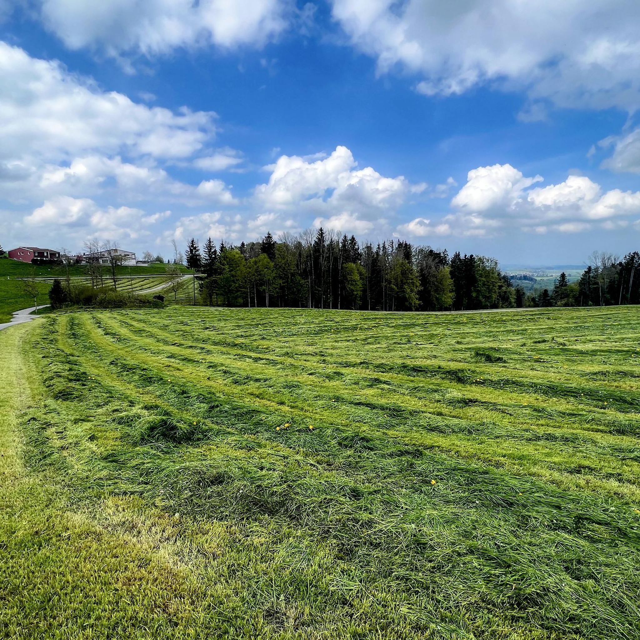
Mountaineering routes around Degersheim are situated in the pre-Alpine landscape of Eastern Switzerland's Toggenburg region. The area features rolling hills and lush farmlands, offering varied terrain for exploration. While the immediate vicinity provides routes through this characteristic countryside, many elevated points offer expansive views of the distant Alpstein Massif, Mount Säntis, and the Churfirsten mountains. Degersheim serves as a gateway to experiencing these scenic pre-Alpine environments.
Best mountaineering routes around Degersheim
- The most popular mountaineering route is Hochalp loop from…
Last updated: June 24, 2026
5.0
(1)
4
hikers
5.23km
02:06
310m
310m
Moderate mountaineering route. Good fitness required. Mostly accessible paths. Sure-footedness required.
2
hikers
Moderate mountaineering route. Good fitness required. Easily-accessible paths. Suitable for all skill levels.

Sign up for free
1
hikers
7.96km
02:33
340m
350m
Moderate mountaineering route. Good fitness required. Easily-accessible paths. Suitable for all skill levels.
Our route recommendations are based on thousands of hikes, rides, and runs completed by other people on komoot.
Start today with a free account
Your next adventure awaits.
Login or Signup
Other adventures around Degersheim

Tips from the Community

Perfect for a short break, protected by the trees
1
0

Easily doable even for inexperienced hikers. The last section is a bit steep, but definitely worth doing. The view is phenomenal!
1
0

Mountain restaurant with young owners. Friendly service and large, delicious portions. Sit down and enjoy the Alpstein and Churfirsten mountains.
1
0

Great view of the Säntis and Eastern Switzerland
1
0

When visibility is good, you have a great all-round view.
1
0

If the weather is good, you will be rewarded for the climb (moderately difficult for inexperienced hikers). The view is fantastic. The inn is closed on Mondays, but otherwise you can enjoy simple but delicious meals on a wonderful terrace.
1
0

Hochalp West with the Hochalp restaurant.
2
0
Hochalp summit (1530 m) offers superb panoramic views. The summit lies slightly south of the path between the Hochalp restaurant (1521 m, to the west) and the secondary summit Hochalp Ost (1525 m).
4
0
Frequently Asked Questions
How many mountaineering routes are available around Degersheim, and what are their difficulty levels?
There are several mountaineering routes around Degersheim, with komoot featuring 3 distinct tours. All of these are rated as moderate, making them suitable for those with a good level of fitness and some hiking experience. The region's pre-Alpine landscape offers varied terrain without requiring technical mountaineering equipment.
When is the best time of year for mountaineering in Degersheim?
The Toggenburg region, including Degersheim, is best explored for mountaineering during the warmer months, typically from late spring through early autumn. During this period, trails are generally clear of snow, and the weather is more stable, offering optimal conditions to enjoy the rolling hills and distant mountain views. Winter mountaineering would require specialized gear and knowledge due to snow and ice.
Are there any family-friendly hiking options or attractions near the mountaineering routes?
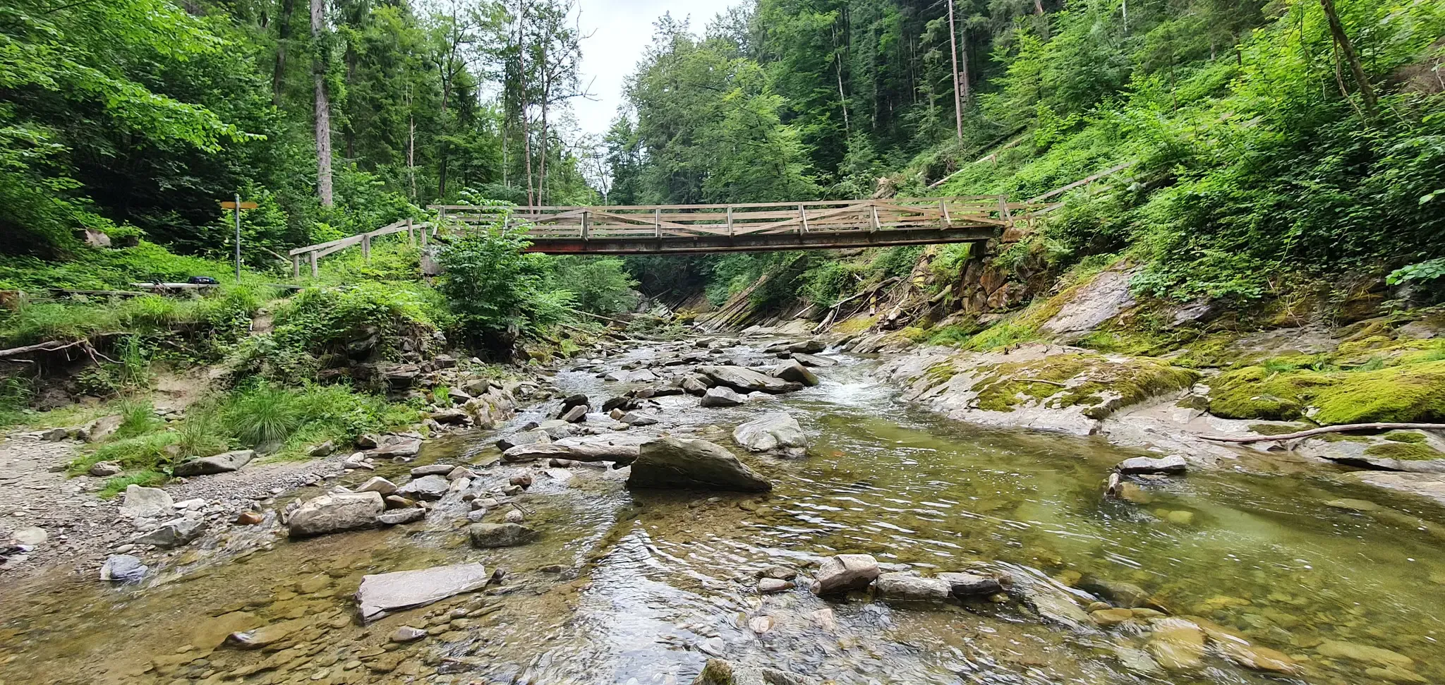
While the listed mountaineering routes are moderate, the broader Degersheim area offers family-friendly hiking experiences. For instance, the Wissbach Gorge Trail is known for its 'wildly romantic' path and a covered wooden walkway, making it popular with families. Additionally, the Bettenauer Pond is a lovely spot for a leisurely visit.
Can I bring my dog on the mountaineering routes around Degersheim?
Generally, dogs are welcome on hiking trails in Switzerland, including those around Degersheim. However, it's always advisable to keep your dog on a leash, especially in agricultural areas, near livestock, or in nature reserves like the Schutzgebiet Botsberger Riet. Ensure your dog is fit enough for the moderate difficulty of these routes and carry enough water for both of you.
Are there any circular mountaineering routes in the area?
Yes, several circular mountaineering routes are available. For example, you can explore the Hochalp loop from Hochalp, which is a moderate 3.1-mile (5.0 km) trail offering panoramic views. Another option is the Hundwiler Höhi loop from Hundwiler Höhi, a 3.2-mile (5.2 km) route through rolling hills with vistas of distant peaks.
What kind of views can I expect on the mountaineering routes near Degersheim?
The mountaineering routes around Degersheim offer expansive views of the pre-Alpine landscape, characterized by rolling hills and lush farmlands. From elevated points, you can often catch glimpses of the majestic Alpstein Massif, Mount Säntis, and the Churfirsten mountains. The Nollen viewpoint is a great example of a spot offering such vistas.
Are there any notable landmarks or points of interest along the routes or nearby?
Yes, the region offers several points of interest. While on a route, you might pass by the Hochhamm Mountain Restaurant, known for its beautiful terrace and impressive views. For a historical landmark, the Haggen Bridge (Ganggelibrugg), a pedestrian steel truss bridge spanning the Sitter river, is a short distance away and offers a unique experience.
What do other mountaineers enjoy most about the routes in Degersheim?
The mountaineering routes in Degersheim are highly rated by the komoot community, with an average score of 5.0 stars. Reviewers often praise the varied terrain, which includes open fields and forest sections, and the significant elevation gains that lead to rewarding panoramic views of the surrounding pre-Alpine landscape and distant peaks.
Are there options for longer or more challenging mountaineering routes?
While all listed routes are moderate, some offer a greater physical challenge due to their length and elevation gain. For instance, the Hochalp loop from Parkplatz Egg is a moderate 5.3-mile (8.5 km) path that traverses varied terrain with significant elevation. For those seeking even greater endeavors, the Magdenau Abbey – Moosbad Loop from Flawil is a longer, more challenging hike in the broader region.
Where can I find places to eat or stay near the mountaineering trails?
The Hochhamm Mountain Restaurant is a popular spot directly accessible from some routes, offering food and stunning views. Degersheim itself has traditional Toggenburg houses and churches, and you'll find local cafes and guesthouses in the town and surrounding villages for refreshments and accommodation after your hike.
Are there any routes that offer views of specific mountain peaks?
Yes, many elevated points along the routes provide excellent vantage points. From various locations, you can enjoy expansive views of the Alpstein Massif and Mount Säntis to the southeast. On clear days, you might even catch glimpses of the majestic Churfirsten mountains and, occasionally, the Bernese Alps in the far distance.
What kind of terrain should I expect on these mountaineering routes?
The mountaineering routes around Degersheim primarily feature the characteristic pre-Alpine landscape of the Toggenburg region. You can expect a mix of rolling hills, lush farmlands, and forest sections. The trails are generally well-maintained paths, but they do involve significant elevation changes, typical for moderate mountaineering, offering a good workout amidst scenic surroundings.
Most popular routes around Degersheim
Most popular attractions around Degersheim

Get inspired with the komoot mobile app


