The best mountain hikes around Zunzgen
5.0
(1)
8
hikers
2
hikes
Mountaineering routes around Zunzgen traverse a diverse landscape in the canton of Basel-Landschaft, Switzerland. The region features prominent natural landmarks such as the Wisenberg Observation Tower and the Belchenflue Summit Viewpoint, offering expansive vistas. The terrain includes varied mountain peaks and natural monuments, providing challenging ascents and scenic exploration. This area is characterized by its extensive network of trails through forested hills and open ridges.
Best mountaineering routes around Zunzgen
- The most popular mountaineering route is Chilchzimmersattel – Belchenflue Summit…
Last updated: June 24, 2026
5.0
(1)
3
hikers
11.2km
03:29
410m
410m
Moderate mountaineering route. Good fitness required. Mostly accessible paths. Sure-footedness required.
2
hikers
15.3km
04:51
620m
620m
Moderate mountaineering route. Good fitness required. Easily-accessible paths. Suitable for all skill levels.

Sign up for free
2
hikers
4.88km
01:40
200m
210m
Moderate mountaineering route. Great for any fitness level. Mostly accessible paths. Sure-footedness required.
1
hikers
12.3km
03:47
410m
410m
Moderate mountaineering route. Good fitness required. Mostly accessible paths. Sure-footedness required.
Our route recommendations are based on thousands of hikes, rides, and runs completed by other people on komoot.
Start today with a free account
Your next adventure awaits.
Login or Signup
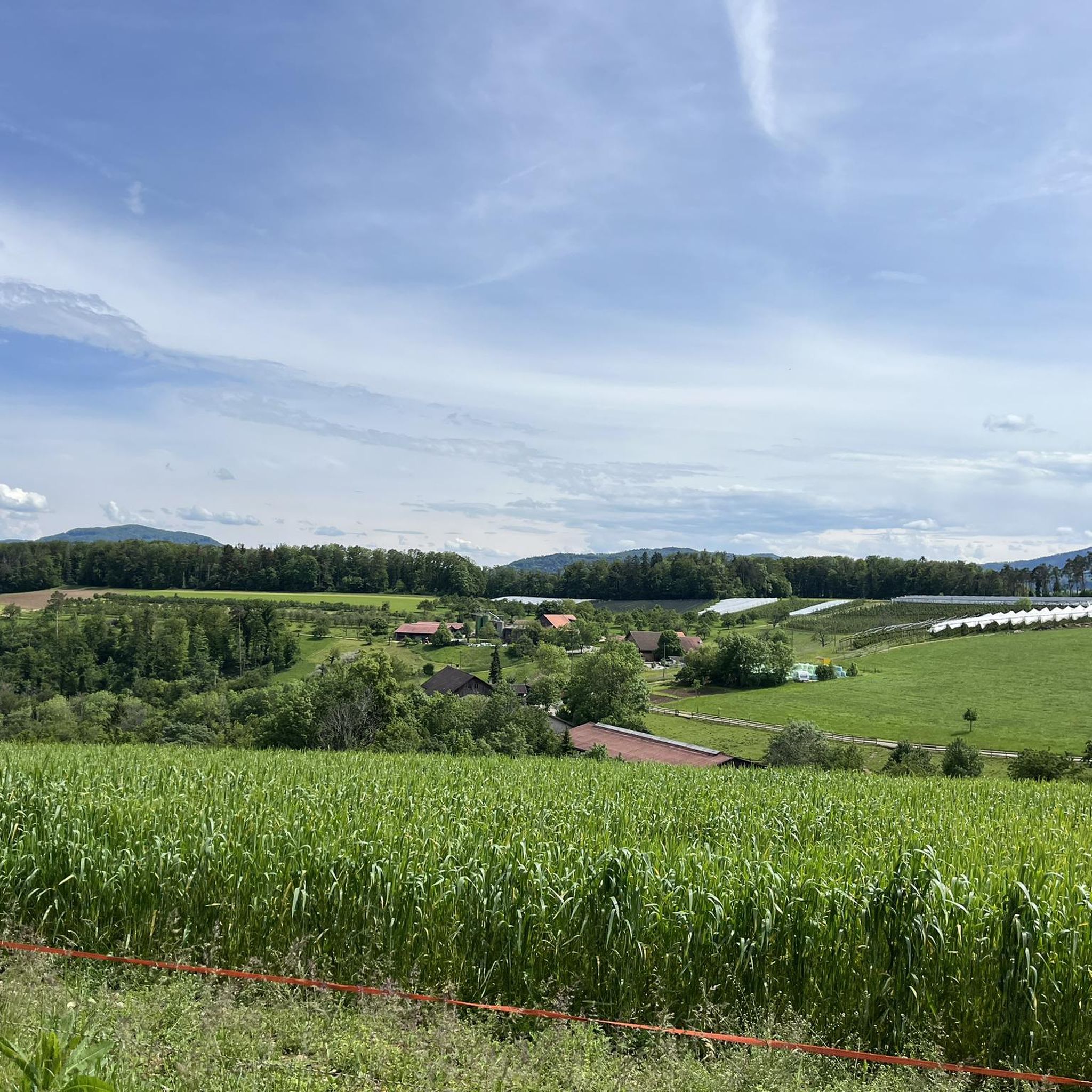
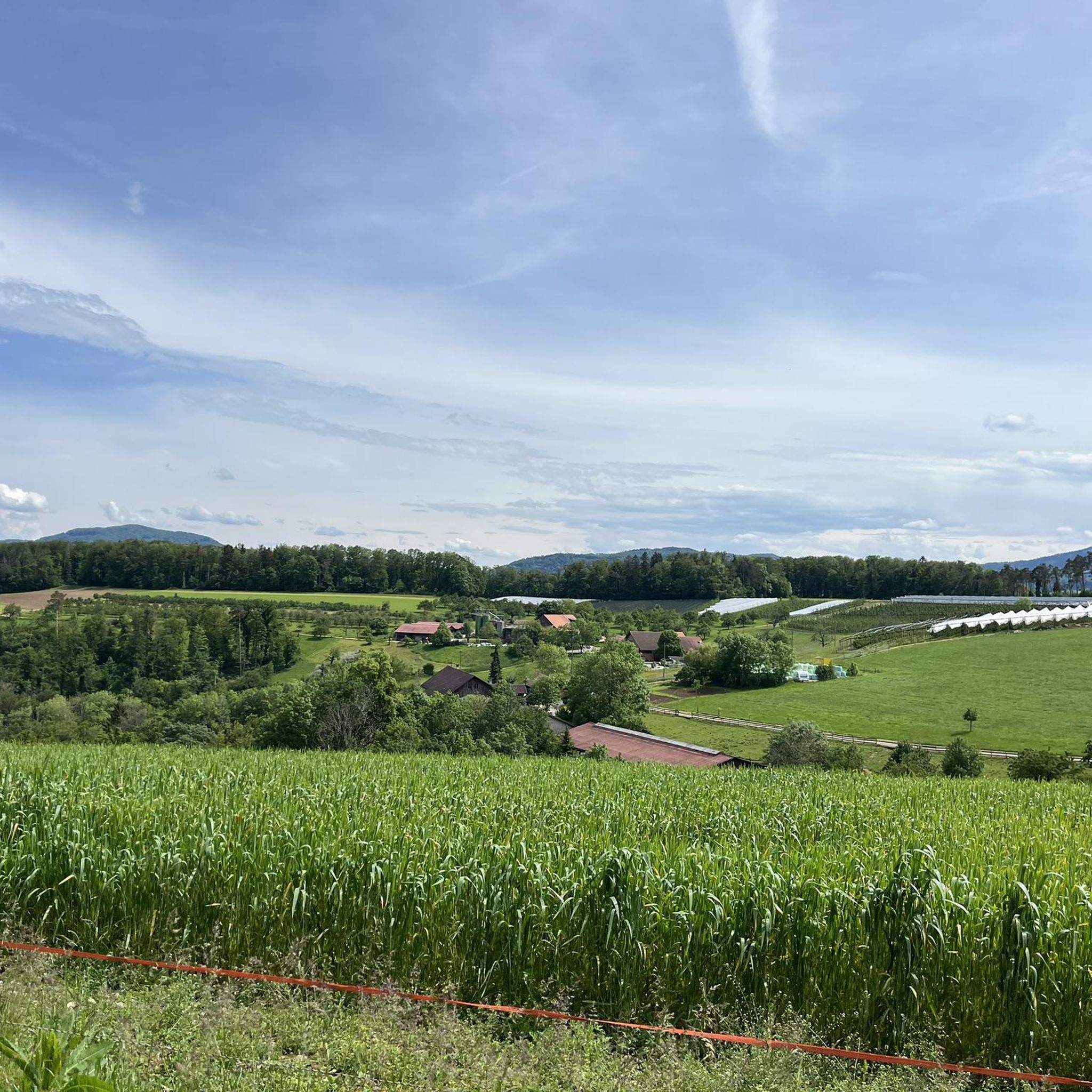
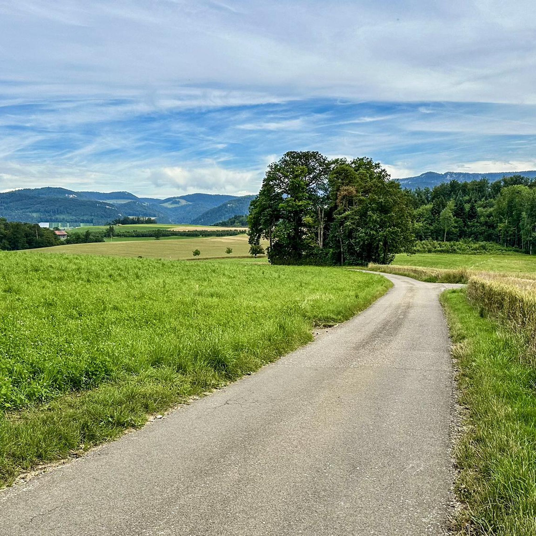
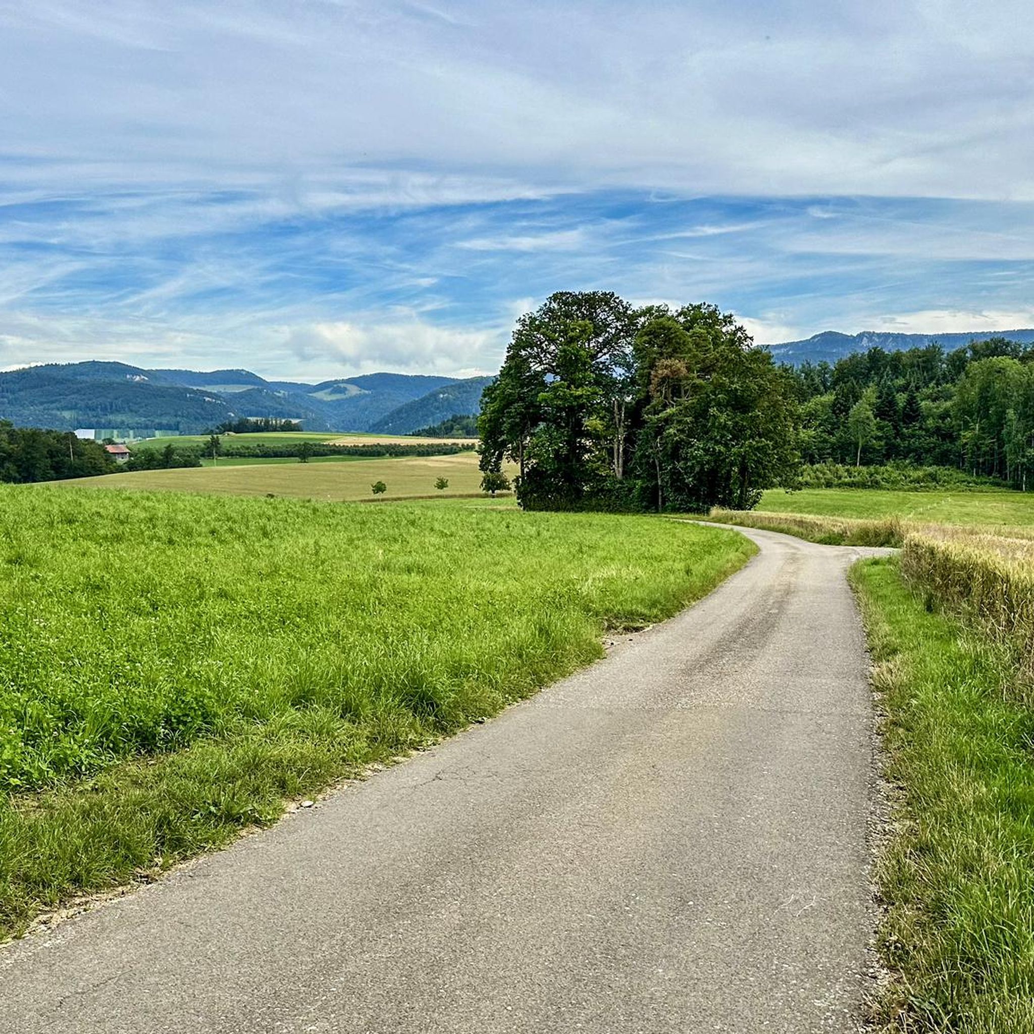
Tips from the Community

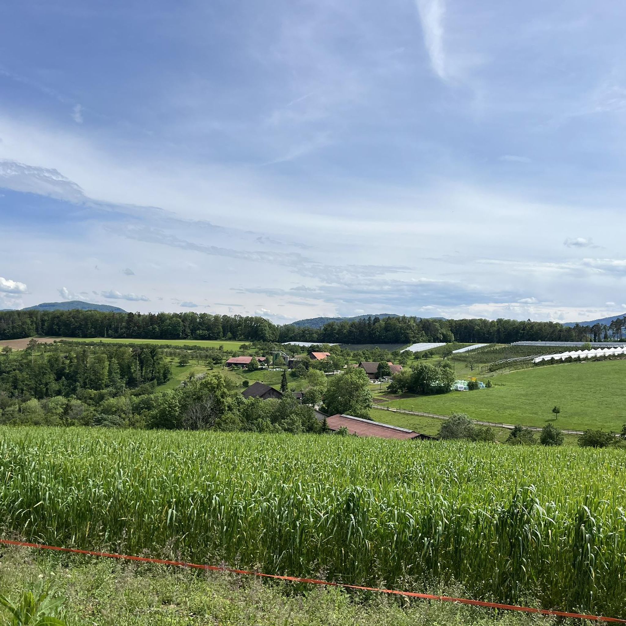
Viewpoint with bus stop and bench. Many hiking and biking trails start from here.
0
0

Beautiful mountain lodge as a good starting point for a hike across the Belchenflue.
2
0

The view is dominated on the right by the Farnsberg hill, with the bright, light-colored ruins of Farnsburg Castle perched on its upper slope, visible from afar. A visit to the ruins is highly recommended. From up here, the view sweeps down to the village of Hemmiken and further into the Jura Mountains.
0
0

A challenging pass in the Tafeljura, the climb is made up of a small road with a maximum gradient of 15% and little traffic. The scenery is very scenic, with magnificent panoramas along the way.
1
1

A brief look back and relics of history. Some information boards along the way describe the events of that time and provide good background information.
1
0

Chamois can often be seen at this spot.
0
0
Nice hike down to the Rhine - a good 30 km.
1
0

Interesting information trail about the First World War
0
0
Frequently Asked Questions
What kind of terrain can I expect on mountaineering routes near Zunzgen?
The mountaineering routes around Zunzgen traverse a diverse landscape characterized by forested hills, prominent viewpoints, and varied mountain peaks. You'll find a mix of terrain, from challenging ascents to paths through natural monuments, offering a rich exploration experience.
Are there any circular mountaineering routes available in Zunzgen?
Yes, several routes are designed as loops. For instance, you can explore the Chilchzimmersattel – Belchenflue Summit Viewpoint loop from Langenbruck, which offers panoramic views, or the View of the Farnsberg – Farnsburg Castle Ruins loop from Bezirk Sissach, featuring historical ruins and significant elevation gain.
What are some notable viewpoints or landmarks I can see along the routes?
The region is rich in scenic viewpoints and historical landmarks. You can reach the Belchenflue Summit Viewpoint for breathtaking panoramas, or visit the Farnsburg Castle Ruins. The Wisenberg Observation Tower, a historical air observation post, also offers a 360-degree view above the treetops, making the climb worthwhile.
Are there any routes that feature waterfalls?
Yes, the area around Zunzgen has some beautiful natural features including waterfalls. You might enjoy visiting the Wasserflue Waterfall and Bärenloch (Bear’s Hole) Cave, or the Weibelloch Waterfall and Cave (Jägerwägli Trail), both offering picturesque spots to explore.
How long do the mountaineering routes typically take to complete?
The duration of routes varies depending on their length and elevation. For example, the Chilchzimmersattel – Belchenflue Summit Viewpoint loop is approximately 6.9 miles (11.2 km) and takes about 3 hours 29 minutes. A shorter option, the Schneelochberg – Schellenberg loop, is 2.9 miles (4.7 km) and can be completed in about 1 hour 38 minutes.
What is the difficulty level of mountaineering routes in Zunzgen?
The mountaineering routes in Zunzgen are generally of moderate difficulty. They offer options for different ability levels, with all listed routes providing a good challenge without being overly technical, as classified by the Swiss Alpine Club (SAC) hiking scale.
Are there any hidden gems or less-known routes to explore?
While specific 'hidden gem' routes aren't detailed, the region around Zunzgen is noted for its numerous 'hidden gems' waiting to be explored through hiking and cycling. Many trails offer unique perspectives away from the most popular paths, such as the upper part of the trail near Jägerhütte, which can be quite demanding.
What do other mountaineers say about the routes in Zunzgen?
The mountaineering routes in Zunzgen are highly rated by the komoot community, with an average score of 5.0 stars. Reviewers often praise the varied terrain, prominent viewpoints, and the immersive experience in nature that these trails offer.
Are there places to eat or stay near the mountaineering routes?
Yes, there are several mountain inns and huts in the vicinity where you can find refreshments or accommodation. Options include the Ober-Bölchen Mountain Inn, Waldweid Mountain Inn, and Hintere Wasserfallen Mountain Inn, among others.
Can I reach the trailheads using public transport?
While specific public transport details for each trailhead are not provided, Zunzgen is a municipality in the canton of Basel-Landschaft, Switzerland, which generally has good public transport connections. It's advisable to check local bus or train schedules to plan your access to specific starting points.
Is there parking available near the mountaineering routes?
For routes like the ascent to the Belchenflue Summit Viewpoint, there is typically a car park a short hike away from the Chilchzimmersattel. For other routes, parking availability can vary, so it's recommended to check specific trailhead information on komoot for details.
Are there any routes that pass by historical defensive structures?
Yes, you can explore the World War I Defensive Wall – Chilchzimmersattel loop from Langenbruck. This route offers a chance to see historical defensive structures while enjoying the natural landscape.
Most popular routes around Zunzgen
Most popular attractions around Zunzgen

Get inspired with the komoot mobile app


Explore more
Browse the best Mountain Hikes & Routes in other regions.
