The best mountain hikes around Lauwil
5.0
(2)
14
hikers
7
hikes
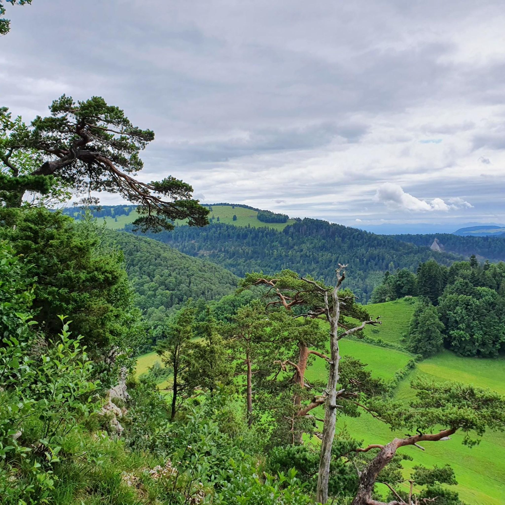
Mountaineering routes around Lauwil are situated within the Jura Mountains, characterized by distinct limestone formations and diverse landscapes. The region features a network of trails traversing mixed forests, open meadows, and surprising gorges, with elevations ranging from approximately 633 to 1164 meters. This geological setting provides opportunities for challenging hikes, scrambling, and rock climbing, offering expansive views across the Swiss Jura.
Best mountaineering routes around Lauwil
- The most popular mountaineering route is Roggenflue Viewpoint – Ruins of Neu-Falkenstein Castle loop…
Last updated: June 24, 2026
2
hikers
Hard mountaineering route. Very good fitness required. Sure-footedness, sturdy shoes and alpine experience required.
2
hikers
Moderate mountaineering route. Good fitness required. Mostly accessible paths. Sure-footedness required.

Sign up for free
5.0
(1)
3
hikers
11.2km
03:29
410m
410m
Moderate mountaineering route. Good fitness required. Mostly accessible paths. Sure-footedness required.
5.0
(1)
2
hikers
8.20km
02:28
240m
240m
Moderate mountaineering route. Good fitness required. Easily-accessible paths. Suitable for all skill levels.
2
hikers
14.5km
04:48
610m
600m
Moderate mountaineering route. Good fitness required. Mostly accessible paths. Sure-footedness required.
Get access to more routes and recommendations from other explorers.
Sign up for free
Already have an account?
Our route recommendations are based on thousands of hikes, rides, and runs completed by other people on komoot.
Start today with a free account
Your next adventure awaits.
Login or Signup
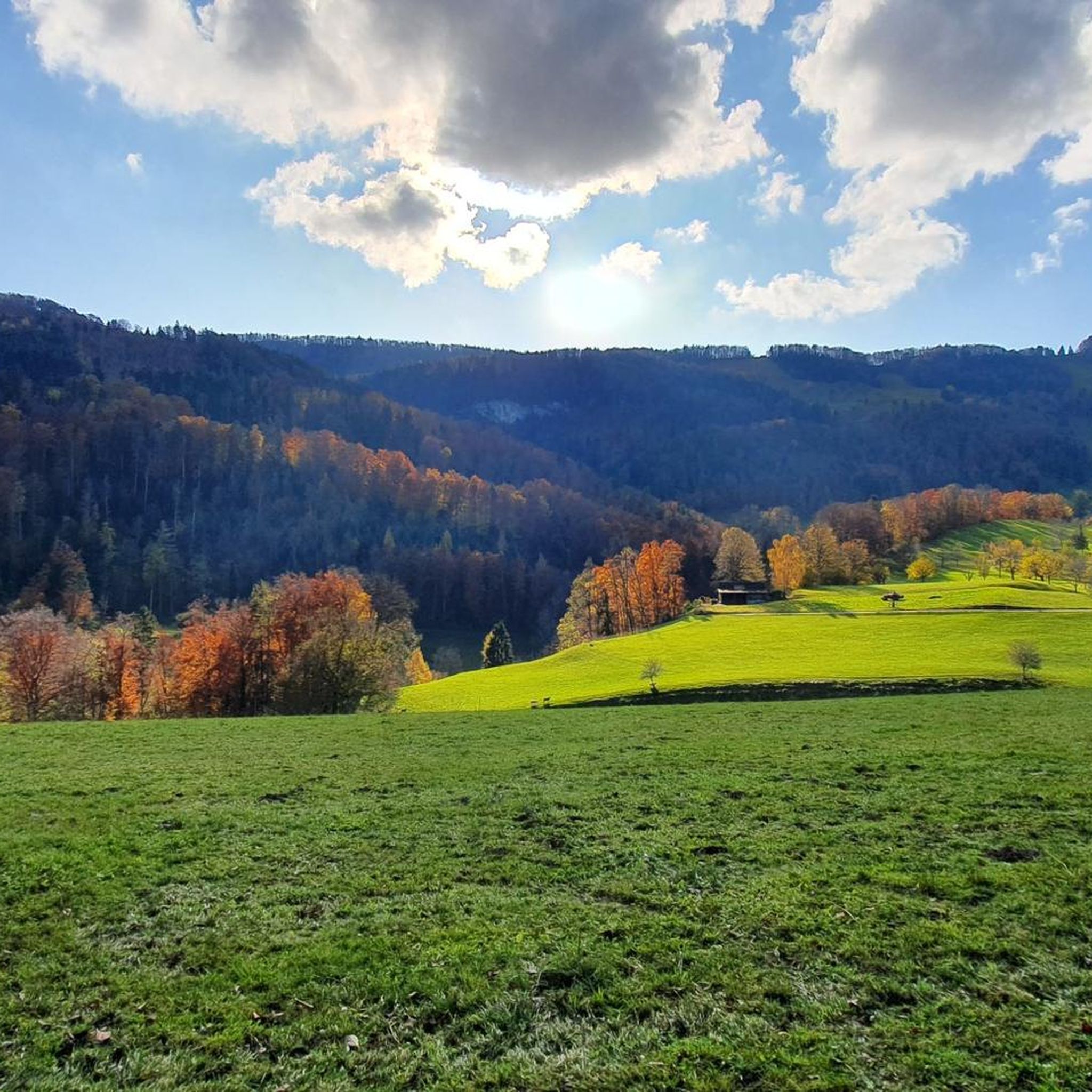
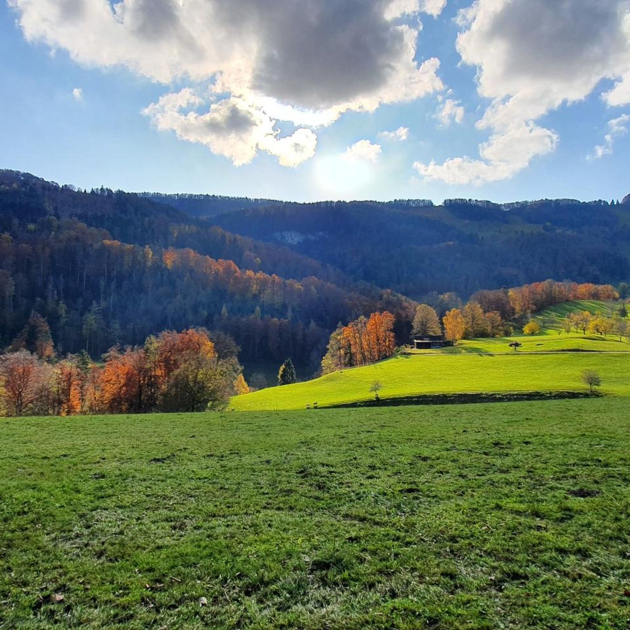
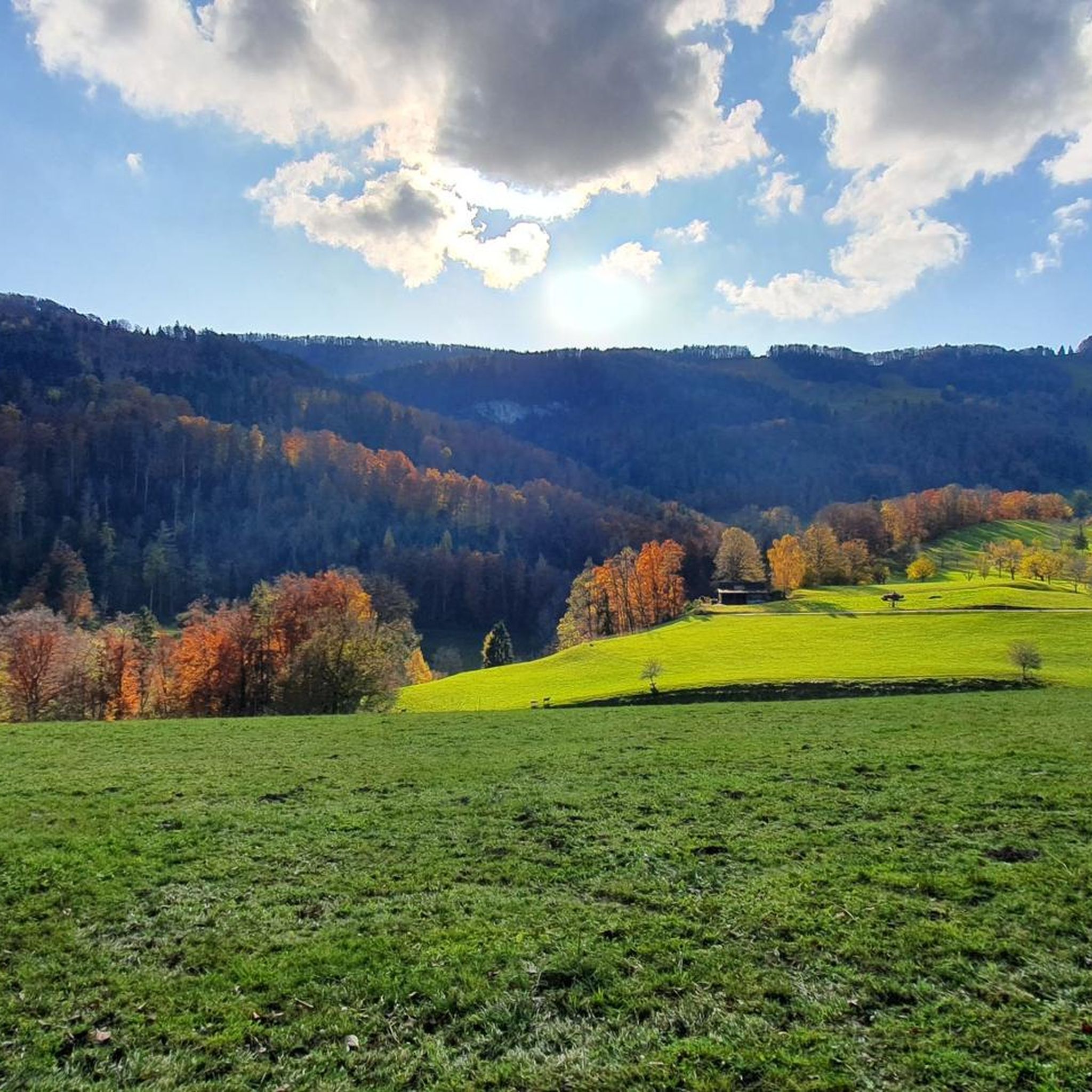
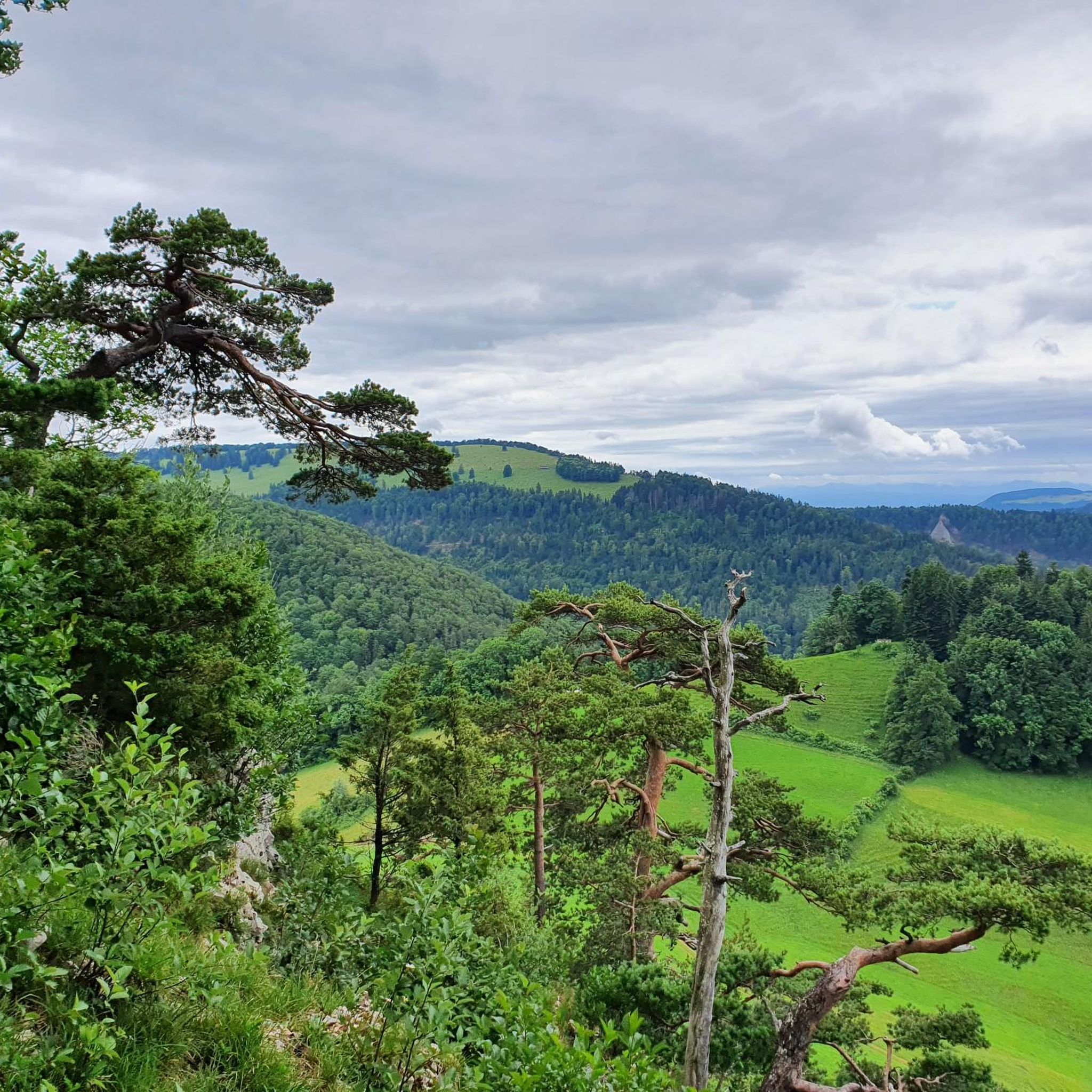

Tips from the Community

Maya's Häxehüsli is open from May 1st to October 31st. Friday from 1:00 PM until sold out. Saturday and Sunday from 11:00 AM until sold out.
0
0

Beautiful mountain lodge as a good starting point for a hike across the Belchenflue.
2
0

Ideal resting place with fire pit: carry barbecue food in your backpack!
1
0

Maya's Häxehüsli is hidden in the forest. A simple but special restaurant
0
0
In addition to its scenic beauty, the Kaltbrunnental Valley is a great outdoor playground for families. The stream offers fun activities and children's canyoning, easy access to the water, and barbecue areas are available. A hot tip, especially in summer.
1
0


A challenging pass in the Tafeljura, the climb is made up of a small road with a maximum gradient of 15% and little traffic. The scenery is very scenic, with magnificent panoramas along the way.
1
1

A brief look back and relics of history. Some information boards along the way describe the events of that time and provide good background information.
1
0
Frequently Asked Questions
How many mountaineering routes are available around Lauwil?
There are 7 distinct mountaineering routes around Lauwil listed in this guide. These routes are highly rated by the komoot community, with an average score of 5.0 stars.
What are the difficulty levels of mountaineering routes in Lauwil?
The routes around Lauwil offer a range of challenges. This guide features 5 moderate and 2 difficult mountaineering routes. The Jura Mountains, where Lauwil is situated, provide trails with varying difficulties, often described using the Swiss Alpine Club (SAC) Hiking Scale, from T1 (easy) to T6 (very difficult), with some sections requiring sure-footedness or even scrambling.
Are there any circular mountaineering routes in the Lauwil area?
Yes, many of the mountaineering routes around Lauwil are circular. For example, you can explore the Roggenflue Viewpoint – Ruins of Neu-Falkenstein Castle loop from Thalbrücke, which is a challenging 16.5 km tour. Another excellent option is the moderate Ruins of Neu-Falkenstein Castle – Roggenschnarz loop from Holderbank SO.
Are there any mountaineering routes that feature waterfalls or gorges?
Yes, you can find routes that lead through scenic gorges and past waterfalls. The Chastelbach Waterfall – Kaltbrunnental Gorge loop from Grellingen is a moderate 8.2 km route that takes you through the impressive Kaltbrunnental Gorge and past the Chastelbach Waterfall, offering a refreshing experience amidst nature.
What kind of natural features and viewpoints can I expect to see on these routes?
The mountaineering routes around Lauwil are set within the picturesque Jura Mountains, characterized by distinct limestone formations, diverse mixed forests, and open meadows. You'll encounter narrow crest paths and can enjoy expansive panoramic views. Notable viewpoints include the Belchenflue Summit Viewpoint, which on clear days offers views across the Swiss Jura and Mittelland, extending to the iconic high Alps like Eiger, Mönch, and Jungfrau.
Are there any family-friendly mountaineering options near Lauwil?
While many routes in this guide are moderate to difficult, the broader region around Lauwil, particularly the Wasserfallen area, offers a network of trails with varying difficulties. For families, look for trails with less elevation gain and shorter distances. The Jura Mountains provide diverse landscapes that can be enjoyed by different age groups, but always check the specific route details for suitability.
Can I bring my dog on the mountaineering trails around Lauwil?
Generally, dogs are welcome on hiking and mountaineering trails in Switzerland, but it's always advisable to keep them on a leash, especially in nature reserves, near livestock, or on narrow paths. The diverse mixed forests and open meadows of the Jura Mountains offer a great environment for walks with your dog. Always ensure your dog is fit enough for the chosen route and carry enough water for both of you.
What are some notable landmarks or attractions along the routes?
Beyond the natural beauty, you can explore historical and scenic landmarks. The Roggenflue Viewpoint – Ruins of Neu-Falkenstein Castle loop from Thalbrücke, for instance, combines stunning views from Roggenflue with the historical ruins of Neu-Falkenstein Castle. Other highlights in the broader area include the Hohe Winde Summit and the Gempenturm Observation Tower.
What is the best season for mountaineering in Lauwil?
The best season for mountaineering in Lauwil is typically from spring to autumn, when the weather is milder and trails are clear of snow. The diverse mixed forests and meadows are particularly beautiful during these times. While the Wasserfallen area transforms into a winter sports destination, offering snowshoe trails, specific mountaineering routes might be challenging or require special gear during colder months due to snow and ice.
Are there opportunities for scrambling or more technical challenges?
Yes, the Jura Mountains around Lauwil offer opportunities for scrambling and more technical challenges. Locations like Gerstelfluh (near Waldenburg) are specifically mentioned for scrambling, with some sections potentially requiring a rope. The narrow crest paths around Wasserfallen also provide exhilarating scrambles that demand sure-footedness and a good level of fitness, bridging the gap between hiking and technical climbing.
Where can I find parking for mountaineering routes near Lauwil?
Parking availability varies by trailhead. For routes starting from specific villages or access points, there are often designated parking areas. For example, routes like the Chilchzimmersattel – Belchenflue Summit Viewpoint loop from Langenbruck would typically have parking available in or near Langenbruck. It's always recommended to check the specific route details on komoot for information on starting points and potential parking facilities.
What do other mountaineers enjoy most about the routes in Lauwil?
The mountaineering routes around Lauwil are highly rated by the komoot community, with an average score of 5.0 stars. Reviewers often praise the diverse landscapes, from mixed forests to open meadows, and the stunning panoramic views that can stretch to the distant Alps on clear days. The combination of challenging hikes, historical sites, and unique geological features like limestone formations also contributes to a rewarding experience.
Most popular attractions around Lauwil

Get inspired with the komoot mobile app


Explore more
Browse the best Mountain Hikes & Routes in other regions.
