The best mountain hikes around Welschenrohr-Gänsbrunnen
5.0
(16)
88
hikers
13
hikes
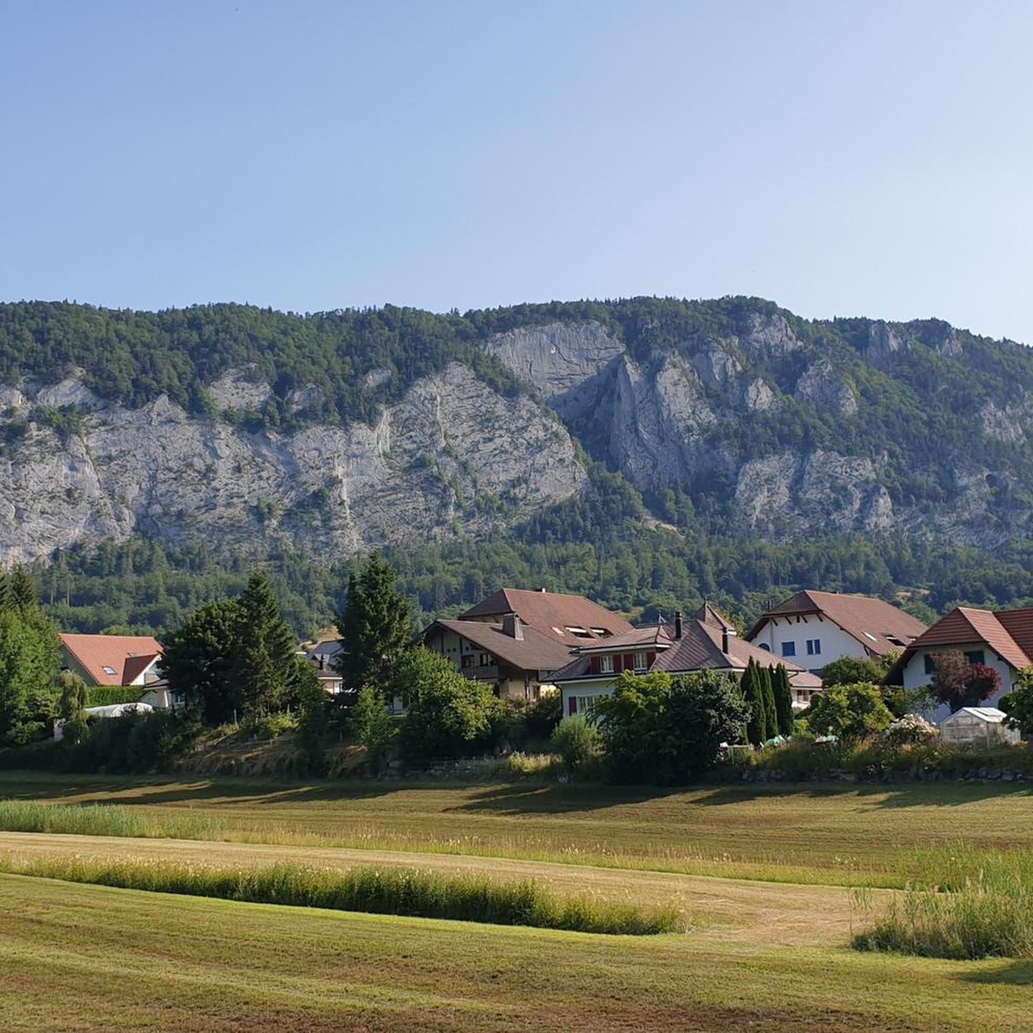
Mountaineering around Welschenrohr-Gänsbrunnen offers routes through varied terrain, characterized by forested slopes, limestone formations, and elevated viewpoints. The region features a network of trails that ascend to prominent peaks and ridges, providing panoramic vistas of the surrounding landscape. These routes often traverse mixed woodlands and open areas, with significant elevation changes.
Best mountaineering routes around Welschenrohr-Gänsbrunnen
- The most popular mountaineering route is Herrenloch Cave – View from Balmfluehchöpfli loop from Rüttenen, a 4.7 miles (7.6 km) trail that takes…
Last updated: July 8, 2026
5.0
(3)
23
hikers
7.79km
03:44
650m
650m
Hard mountaineering route. Good fitness required. Sure-footedness, sturdy shoes and alpine experience required.
5.0
(2)
9
hikers
4.62km
03:03
540m
540m
Hard mountaineering route. Good fitness required. Sure-footedness, sturdy shoes and alpine experience required.

Sign up for free
7
hikers
7.52km
03:49
630m
620m
Hard mountaineering route. Good fitness required. Sure-footedness, sturdy shoes and alpine experience required.
5.0
(1)
8
hikers
7.60km
02:40
350m
350m
Moderate mountaineering route. Good fitness required. Mostly accessible paths. Sure-footedness required.
5.0
(2)
4
hikers
14.1km
06:04
900m
900m
Hard mountaineering route. Very good fitness required. Sure-footedness, sturdy shoes and alpine experience required.
Get access to more routes and recommendations from other explorers.
Sign up for free
Already have an account?
Our route recommendations are based on thousands of hikes, rides, and runs completed by other people on komoot.
Start today with a free account
Your next adventure awaits.
Login or Signup
Popular around Welschenrohr-Gänsbrunnen
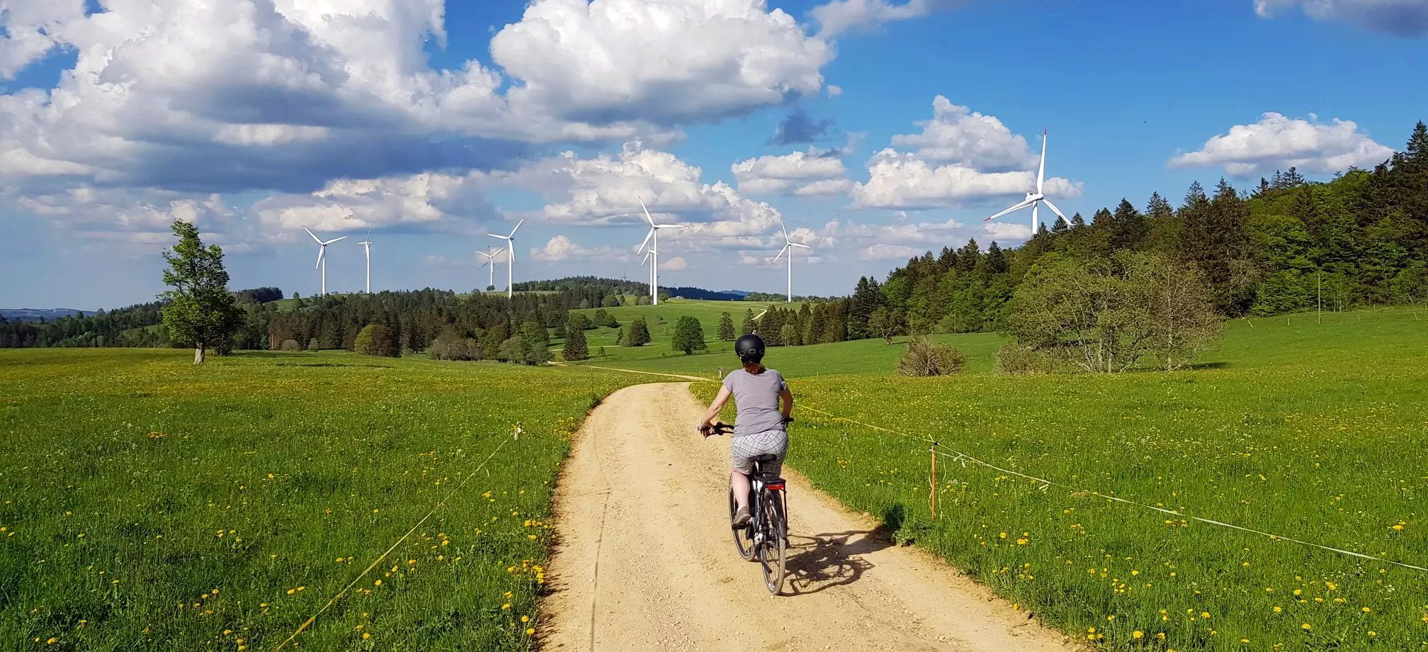
Arc jurassien in Switzerland – 4 stages through the wild Jura Mountains
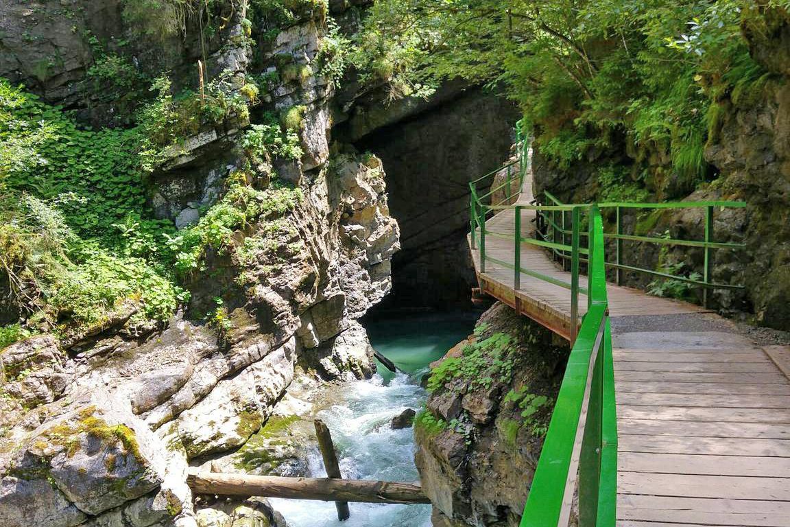
Wild gorges in southern Germany and northern Switzerland
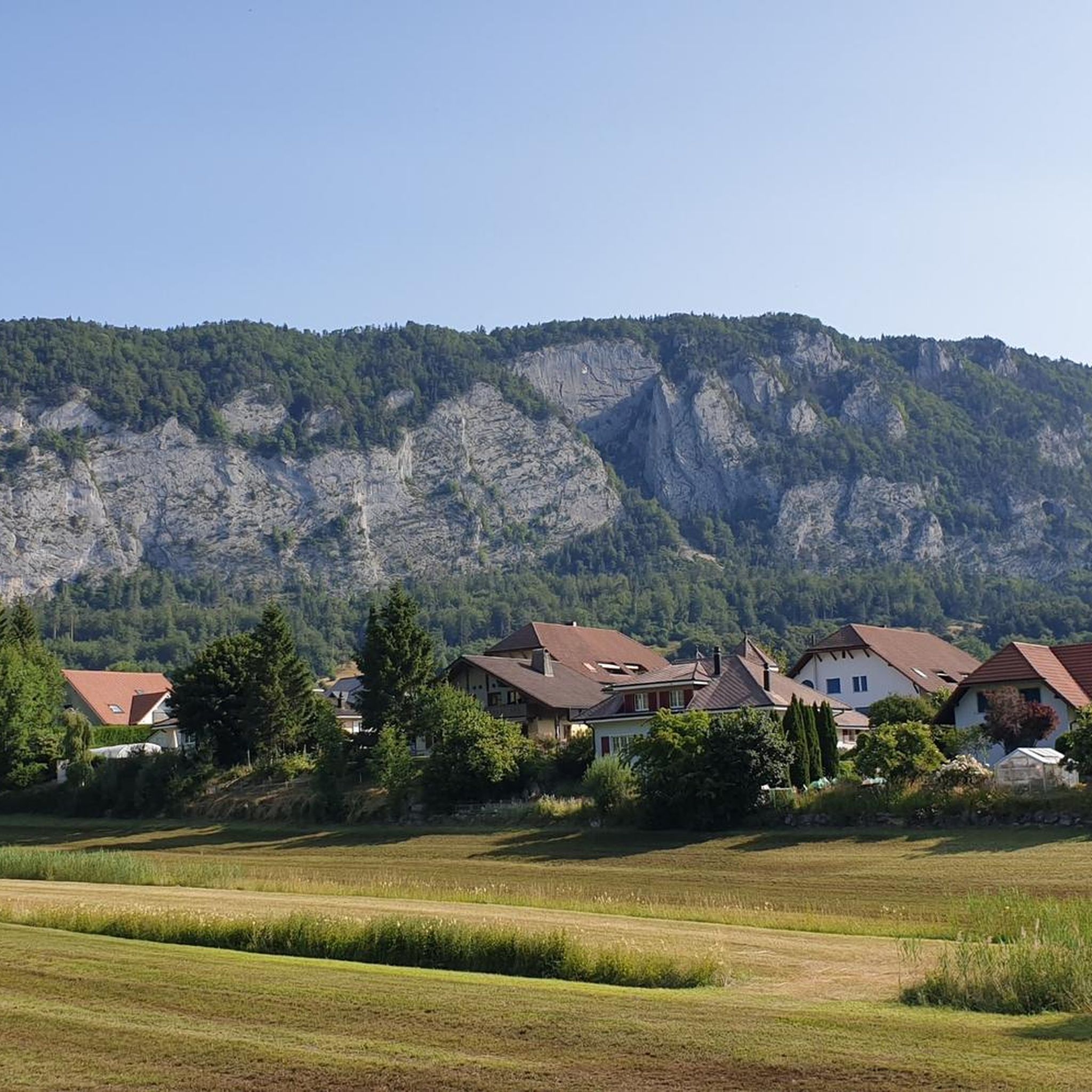
Hiking around Welschenrohr-Gänsbrunnen
Road Cycling Routes around Welschenrohr-Gänsbrunnen
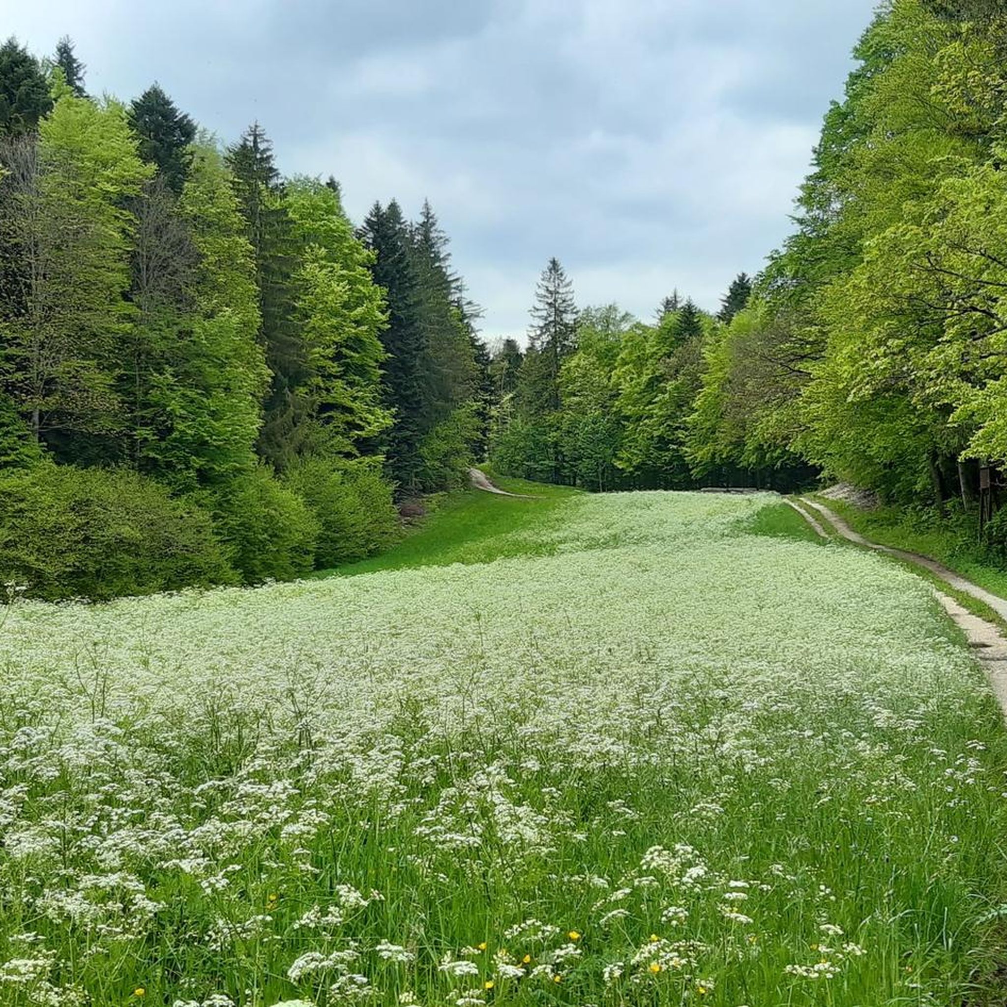
Cycling around Welschenrohr-Gänsbrunnen
Gravel biking around Welschenrohr-Gänsbrunnen
Running Trails around Welschenrohr-Gänsbrunnen
MTB Trails around Welschenrohr-Gänsbrunnen
Other adventures around Welschenrohr-Gänsbrunnen


Tips from the Community

The Herrenloch is a cave with two entrances - a kind of tunnel - below the Balmfluechöpfli. It can be reached by trails both from the west ridge of the Balmfluechöpfli and as the end of the Hornpfad. The exit on the east side is reserved for the very experienced only; there has also been a fatal fall here. From the western entrance of the Herrenloch, you can also climb directly to the summit of the Balmfluechöpfli via trails.
0
0

wonderful and very beautiful area here
2
0
wonderful and very beautiful area here
3
0
pretty here, very pretty
0
2
Frequently Asked Questions
How many mountaineering routes are available around Welschenrohr-Gänsbrunnen?
There are over a dozen dedicated mountaineering routes in the Welschenrohr-Gänsbrunnen area, offering a variety of challenges and scenic views. The komoot community has explored 15 distinct tours here.
Are there any easy mountaineering routes for beginners in Welschenrohr-Gänsbrunnen?
The mountaineering routes around Welschenrohr-Gänsbrunnen are generally considered challenging, with 12 out of 15 routes rated as difficult. There are no routes specifically categorized as easy. However, 3 routes are rated as moderate, which might be suitable for those with some experience looking for a less strenuous option.
What are some advanced mountaineering trails in Welschenrohr-Gänsbrunnen?
For experienced mountaineers, there are numerous challenging options. Routes like Gitziflue Viewpoint – Hasenmatt Summit Cross loop from Oberdorf SO offer significant elevation gain and distance, covering 13.9 km with nearly 900 meters of ascent. Many routes in the area, including those leading to Balmfluehchöpfli and Herrenloch Cave, are rated as difficult.
Are there family-friendly options for mountaineering around Welschenrohr-Gänsbrunnen?
Given that most mountaineering routes in Welschenrohr-Gänsbrunnen are rated as difficult, they may not be ideal for young children or families seeking very easy walks. However, families with older, experienced children who are accustomed to challenging hikes might enjoy some of the moderate routes. Always check the specific route details for distance, elevation, and terrain before setting out.
What is the best season for mountaineering in Welschenrohr-Gänsbrunnen?
The most popular time for mountaineering in Welschenrohr-Gänsbrunnen is typically from late spring through early autumn (May to October), when the weather is generally stable and trails are clear of snow. During these months, you'll experience lush forests and clear views. Winter mountaineering is possible but requires specialized equipment and experience due to snow and ice conditions.
What kind of views and landmarks can I expect along the mountaineering routes?
Mountaineering routes in Welschenrohr-Gänsbrunnen often lead to prominent viewpoints and natural landmarks. You can expect panoramic vistas from peaks like Balmfluechöpfli Summit and Röti. Many routes also feature limestone formations and access to natural features like Herrenloch Cave. The region is characterized by forested ascents and open areas offering expansive views.
Are there circular mountaineering routes available?
Yes, many of the mountaineering routes around Welschenrohr-Gänsbrunnen are designed as loops, allowing you to start and end at the same point. Examples include the View from Balmfluehchöpfli – Röti Summit (1,395 m) loop from Balm b. Günsberg, which offers diverse scenery and prominent summits.
What do other mountaineers enjoy most about the routes in Welschenrohr-Gänsbrunnen?
The mountaineering routes in Welschenrohr-Gänsbrunnen are highly regarded by the komoot community, boasting an average rating of 5.0 stars from over 10 reviews. Users frequently praise the challenging ascents, the rewarding panoramic views from various summits, and the natural beauty of the forested trails and limestone formations.
Are there any mountain passes or other peaks nearby to explore?
Beyond the immediate mountaineering routes, the region around Welschenrohr-Gänsbrunnen is home to several notable mountain passes and peaks. You can explore passes like Balmberg Pass Summit and Schelten Pass. For additional peaks, consider visiting Weissenstein or Hohe Winde Summit, which offer further opportunities for exploration and stunning views.
What should I wear for summer mountaineering in Welschenrohr-Gänsbrunnen?
For summer mountaineering, it's advisable to wear moisture-wicking layers, including a base layer, a light mid-layer, and a waterproof/windproof outer shell, as weather in the mountains can change quickly. Sturdy hiking boots with good ankle support are essential, along with sun protection (hat, sunglasses, sunscreen) and plenty of water. Even in summer, temperatures can drop at higher elevations, so be prepared.
Are there cafes or pubs near the mountaineering routes for refreshments?
While the guide focuses on the routes themselves, the villages and towns surrounding Welschenrohr-Gänsbrunnen, such as Balm b. Günsberg or Rüttenen, often have local eateries, cafes, or pubs where you can find refreshments before or after your mountaineering adventure. It's always a good idea to check local listings for opening hours, especially in smaller communities.
Most popular routes around Welschenrohr-Gänsbrunnen
Most popular attractions around Welschenrohr-Gänsbrunnen

Get inspired with the komoot mobile app


Explore more
Browse the best Mountain Hikes & Routes in other regions.
