The best mountain hikes around Lommiswil
5.0
(16)
88
hikers
16
hikes
Mountaineering routes around Lommiswil are situated in a region characterized by significant elevation changes and prominent viewpoints. The terrain features challenging ascents, leading to panoramic vistas from peaks and flues. This area offers a network of trails suitable for experienced mountaineers seeking demanding routes. The landscape includes a mix of open ridges and forested sections, providing varied conditions for exploration.
Best mountaineering routes around Lommiswil
- The most popular mountaineering route is Herrenloch Cave – View from Balmfluehchöpfli loop from Rüttenen, a difficult 4.8 miles (7.6 km) trail that takes 3 hours 41 minutes to complete. This route features a substantial elevation gain, leading to a prominent viewpoint.
- Another top favourite among local mountaineers is View from Balmfluehchöpfli – Herrenloch Cave loop from Rüttenen, a difficult 4.9 miles (7.8 km) path. This trail offers similar challenging terrain and views, traversing the same notable features in a reverse direction.
- Local mountaineers also love the View from Balmfluehchöpfli – Röti Summit (1,395 m) loop from Balm b. Günsberg, a 4.8 miles (7.7 km) trail leading through mountainous terrain to a summit, often completed in about 2 hours 44 minutes.
- Mountaineering around Lommiswil is defined by challenging ascents, prominent viewpoints, and summit experiences. The network offers options primarily for experienced mountaineers seeking difficult routes.
- The routes in Lommiswil are highly rated by the komoot community with an average score of 5.0 stars from over 10 reviews. More than 80 mountaineers have used komoot to explore Lommiswil's varied terrain.
Last updated: May 11, 2026
5.0
(3)
23
hikers
7.79km
03:44
650m
650m
Hard mountaineering route. Good fitness required. Sure-footedness, sturdy shoes and alpine experience required.
7
hikers
7.52km
03:49
630m
620m
Hard mountaineering route. Good fitness required. Sure-footedness, sturdy shoes and alpine experience required.

Sign up for free
5.0
(1)
8
hikers
7.60km
02:40
350m
350m
Moderate mountaineering route. Good fitness required. Mostly accessible paths. Sure-footedness required.
5.0
(2)
4
hikers
14.1km
06:04
900m
900m
Hard mountaineering route. Very good fitness required. Sure-footedness, sturdy shoes and alpine experience required.
5.0
(1)
6
hikers
6.17km
03:55
710m
710m
Hard mountaineering route. Good fitness required. Sure-footedness, sturdy shoes and alpine experience required.
Get access to more routes and recommendations from other explorers.
Sign up for free
Already have an account?
Our route recommendations are based on thousands of hikes, rides, and runs completed by other people on komoot.
Start today with a free account
Your next adventure awaits.
Login or Signup
Tips from the Community

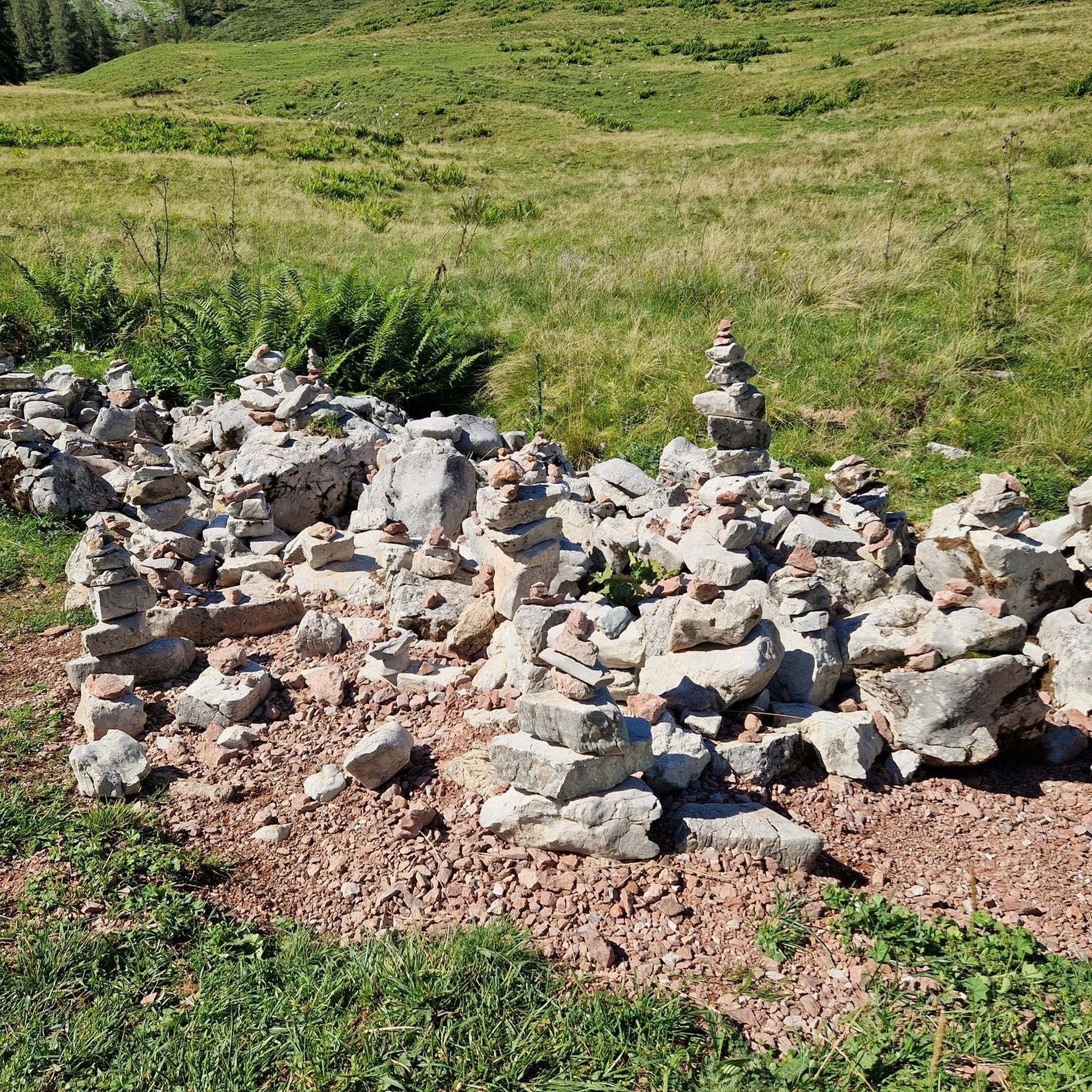
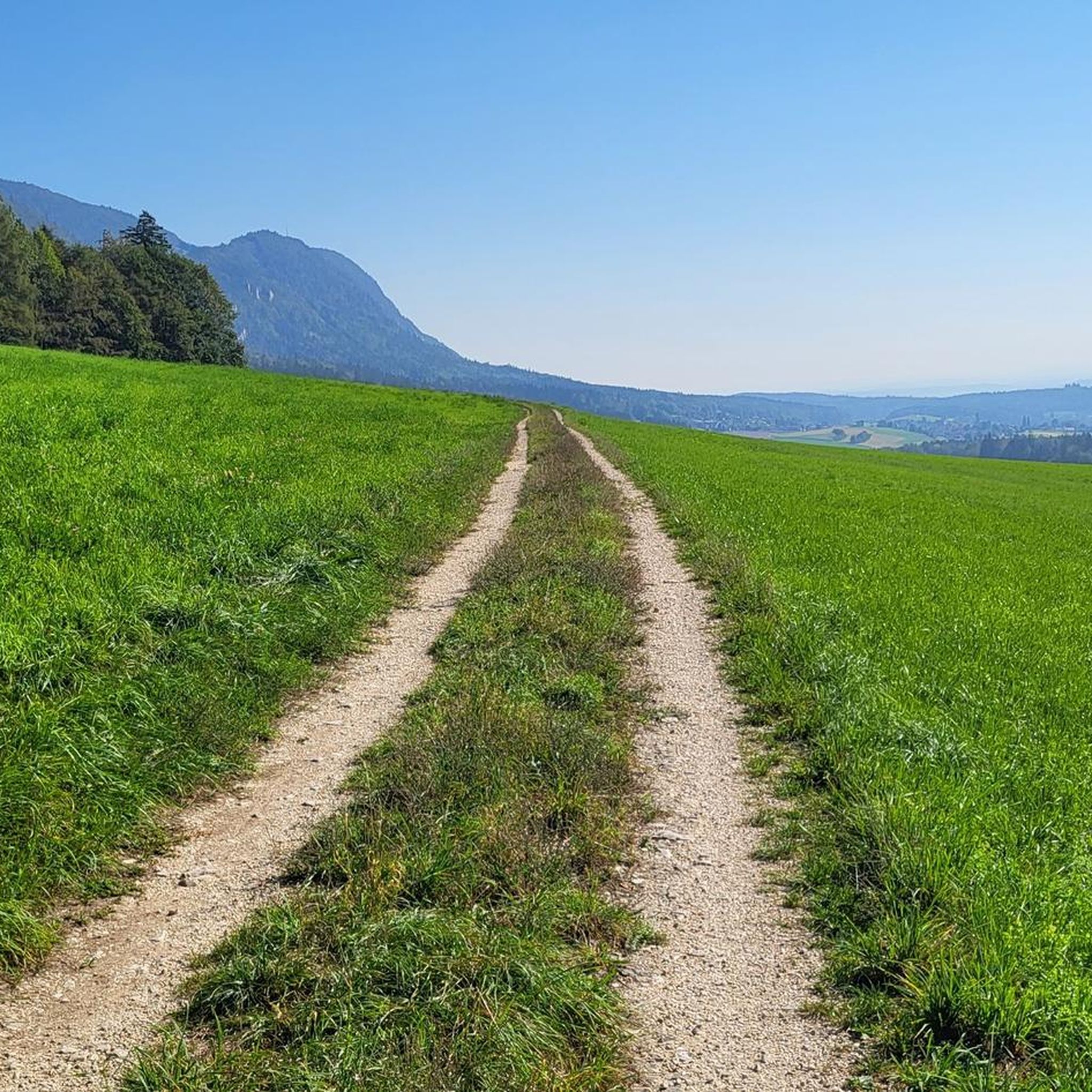
pretty here, very very pretty. Is worth a visit.
1
2
pretty here, very very pretty. It is worth a visit.
1
0

Frequently Asked Questions
What is the typical difficulty of mountaineering routes around Lommiswil?
Mountaineering routes in the Lommiswil area are predominantly challenging. Out of 17 available routes, 13 are classified as difficult, and 4 are moderate. There are no easy routes, indicating that the terrain is generally suited for experienced mountaineers.
Are there any circular mountaineering routes in Lommiswil?
Yes, many of the mountaineering routes around Lommiswil are designed as loops. For example, you can explore the Herrenloch Cave – View from Balmfluehchöpfli loop from Rüttenen or the View from Balmfluehchöpfli – Röti Summit (1,395 m) loop from Balm b. Günsberg, both offering challenging ascents and panoramic views.
What is the average length and duration of mountaineering routes in this area?
The mountaineering routes around Lommiswil typically range from 4.8 to 8.7 miles (7.6 to 14 km) in length. Durations vary significantly based on elevation gain and individual pace, but many difficult routes can take between 3 to 6 hours to complete. For instance, the Gitziflue Viewpoint – Hasenmatt Summit Cross loop from Oberdorf SO is a longer route at nearly 8.7 miles (14 km).
When is the best time of year for mountaineering in Lommiswil?
The best time for mountaineering in Lommiswil is generally from late spring through early autumn (May to October), when weather conditions are most stable and trails are clear of snow. During these months, you'll experience pleasant temperatures and optimal visibility for enjoying the panoramic views.
Are there places to eat or rest near the trails?
Yes, there are several mountain restaurants and huts in the vicinity where you can stop for refreshments or a meal. Notable options include the Hofbergli Mountain Restaurant and Untergrenchenberg Restaurant, which are popular stops for hikers and mountaineers.
What kind of attractions or landmarks can I see along the mountaineering routes?
The routes offer access to significant natural landmarks and viewpoints. You can visit the Weissenstein viewpoint, reach the Röti summit, or explore the dramatic Verenaschlucht and Hermitage gorge. Many routes also feature prominent rock formations and caves, such as those near Herrenloch Cave.
What do other mountaineers enjoy the most about mountaineering in Lommiswil?
The area is highly rated by the komoot community, with an average score of 5.0 stars from over 10 reviews. Reviewers often praise the challenging ascents, the rewarding panoramic vistas from peaks like Balmfluehchöpfli, and the well-maintained trails that lead through varied mountainous terrain.
Are there any advanced or particularly challenging routes for experienced mountaineers?
Absolutely. The majority of routes around Lommiswil are classified as difficult. For a demanding experience, consider the View from Balmfluehchöpfli – Mättu Wändli Climbing Path loop from Rüttenen, which involves significant elevation gain and traverses challenging sections, including a climbing path.
Is winter mountaineering possible in Lommiswil?
While some trails may be accessible, winter mountaineering in Lommiswil can be challenging due to snow and ice, especially at higher elevations and on exposed ridges. Conditions can change rapidly, so it's crucial to check local weather forecasts and trail conditions before attempting any routes during winter months. Specialized winter gear and experience are highly recommended.
Can I reach the starting points of these routes by public transport?
Many starting points for mountaineering routes in the region are accessible via public transport, particularly from larger towns like Solothurn. It's advisable to check local bus or train schedules to plan your journey to specific trailheads, such as those near Rüttenen or Balm b. Günsberg.
Are there any moderate mountaineering routes suitable for those looking for less extreme challenges?
Yes, while most routes are difficult, there are 4 moderate mountaineering routes available. These routes still offer significant elevation changes and rewarding views but might be less technically demanding than the difficult classifications. They provide a good option for those building up their mountaineering experience.
Most popular routes around Lommiswil
Most popular attractions around Lommiswil

Get inspired with the komoot mobile app


Explore more
Browse the best Mountain Hikes & Routes in other regions.
