The best mountain hikes around Fulenbach
5.0
(1)
10
hikers
2
hikes
Mountaineering routes around Fulenbach traverse a landscape characterized by gently undulating terrain, river valleys, and extensive forests within the Solothurn Mittelland. Situated on a gravel terrace, the region offers routes that explore forested areas and follow the Aare River. While not featuring high-alpine peaks, the area provides diverse paths through hills and natural settings. The municipality's elevation is around 429 meters above sea level, with significant forested areas like Foreban.
Best mountaineering routes around Fulenbach
- The most popular mountaineering route…
Last updated: June 24, 2026
2
hikers
Moderate mountaineering route. Good fitness required. Mostly accessible paths. Sure-footedness required.
5.0
(1)
3
hikers
11.2km
03:29
410m
410m
Moderate mountaineering route. Good fitness required. Mostly accessible paths. Sure-footedness required.

Sign up for free
2
hikers
4.88km
01:40
200m
210m
Moderate mountaineering route. Great for any fitness level. Mostly accessible paths. Sure-footedness required.
2
hikers
14.5km
04:48
610m
600m
Moderate mountaineering route. Good fitness required. Mostly accessible paths. Sure-footedness required.
1
hikers
12.3km
03:47
410m
410m
Moderate mountaineering route. Good fitness required. Mostly accessible paths. Sure-footedness required.
Our route recommendations are based on thousands of hikes, rides, and runs completed by other people on komoot.
Start today with a free account
Your next adventure awaits.
Login or Signup
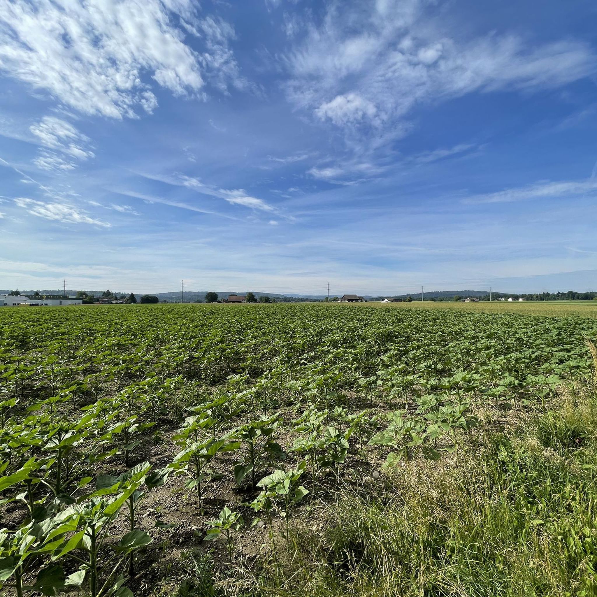
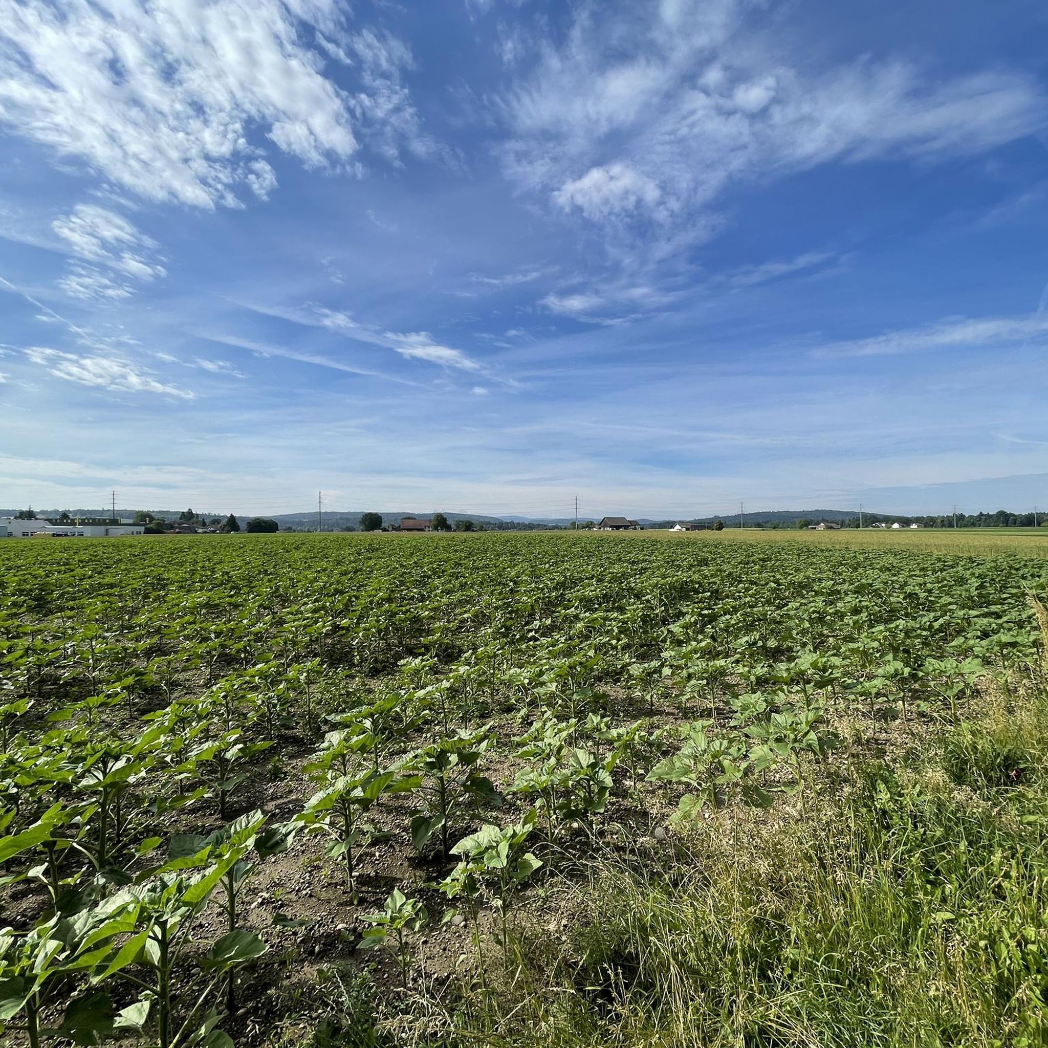
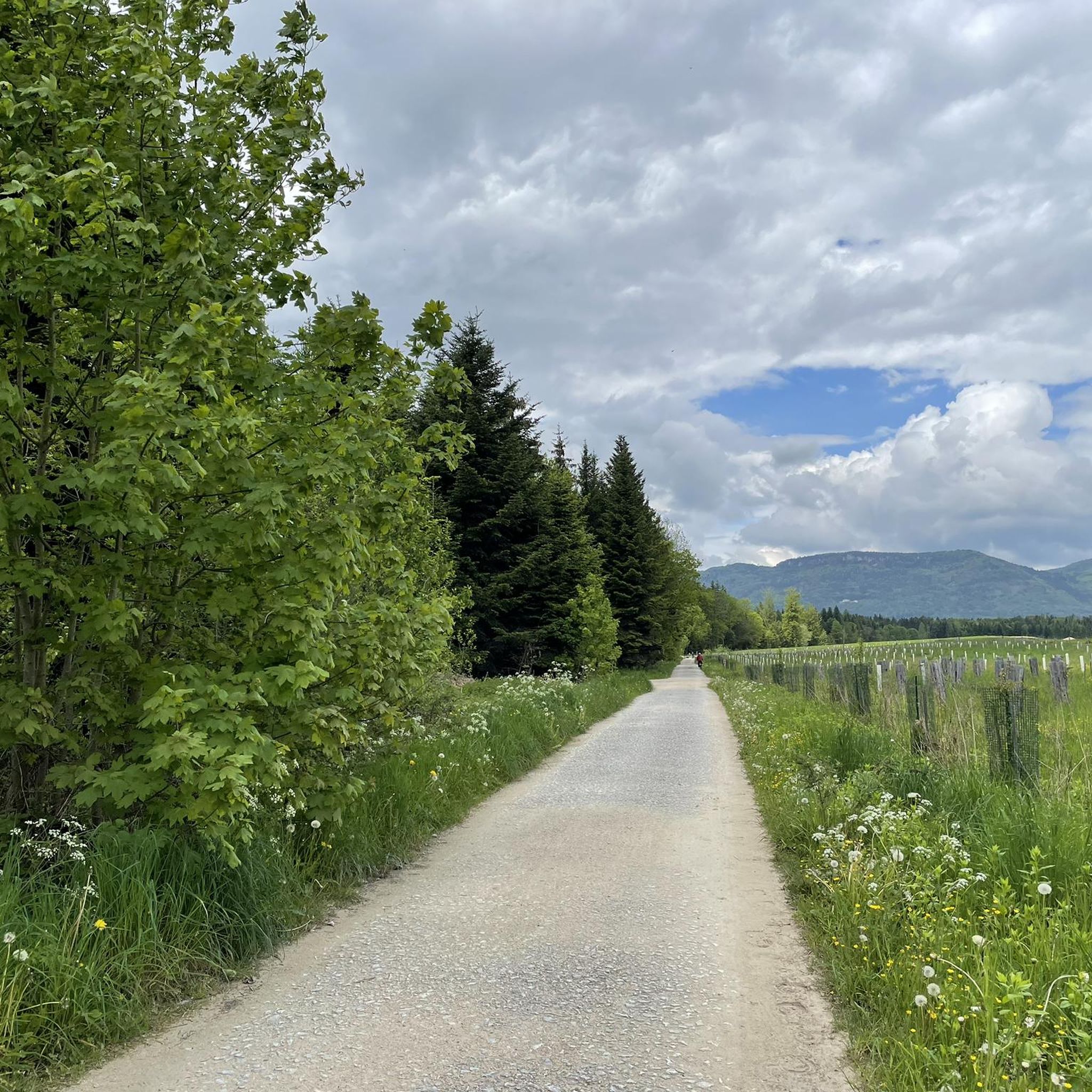
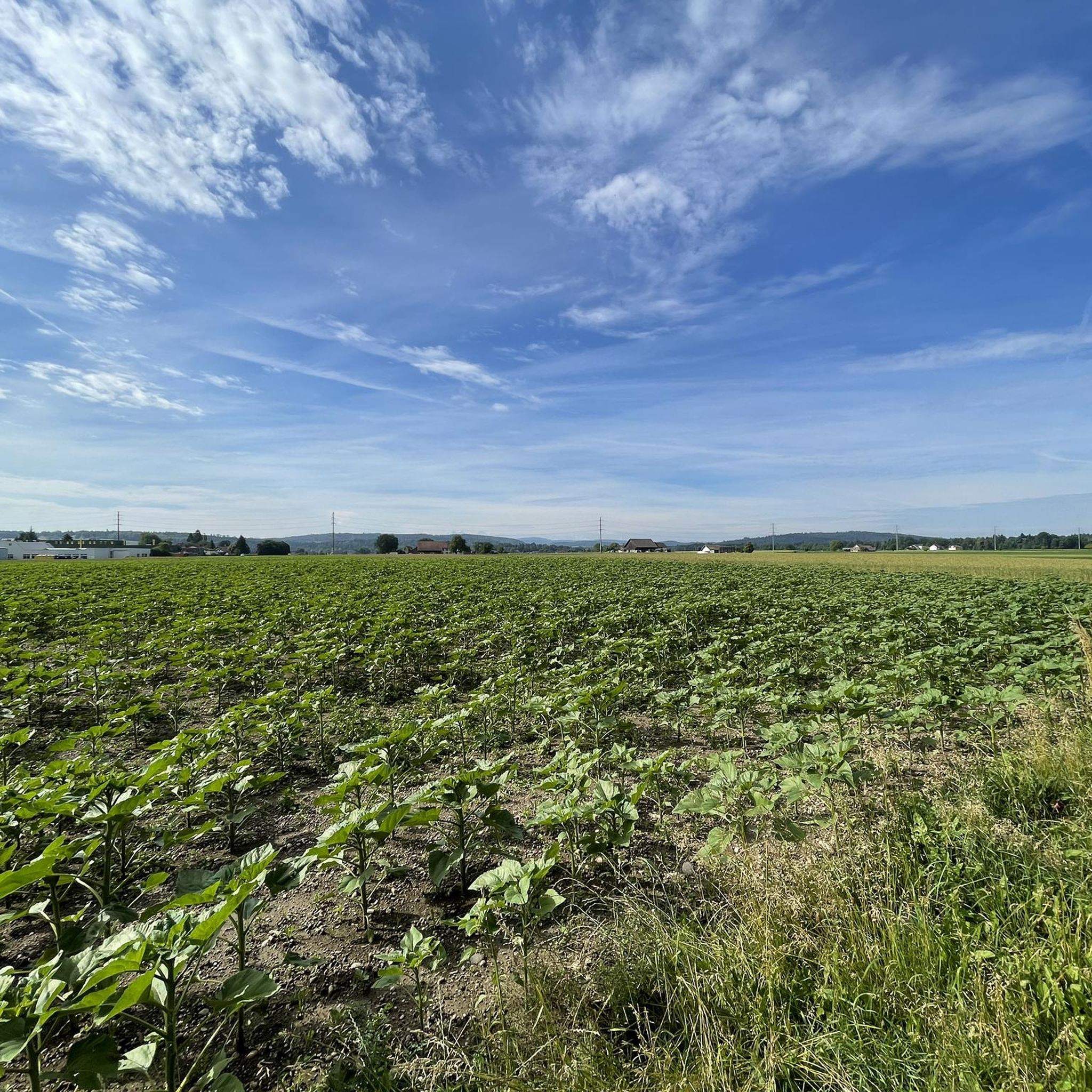
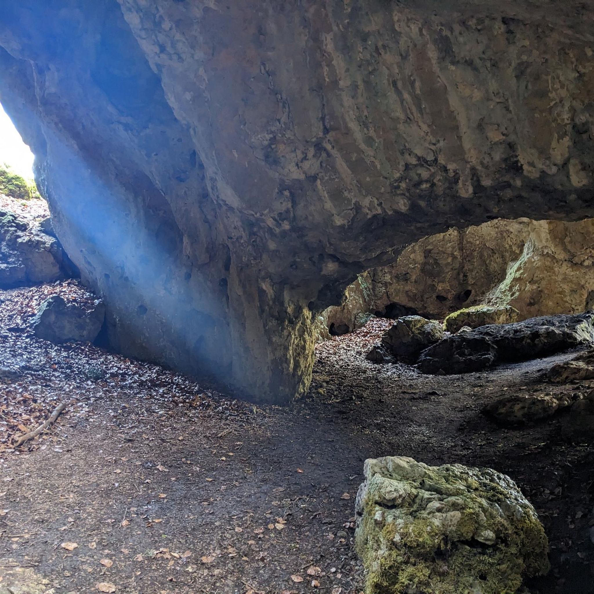
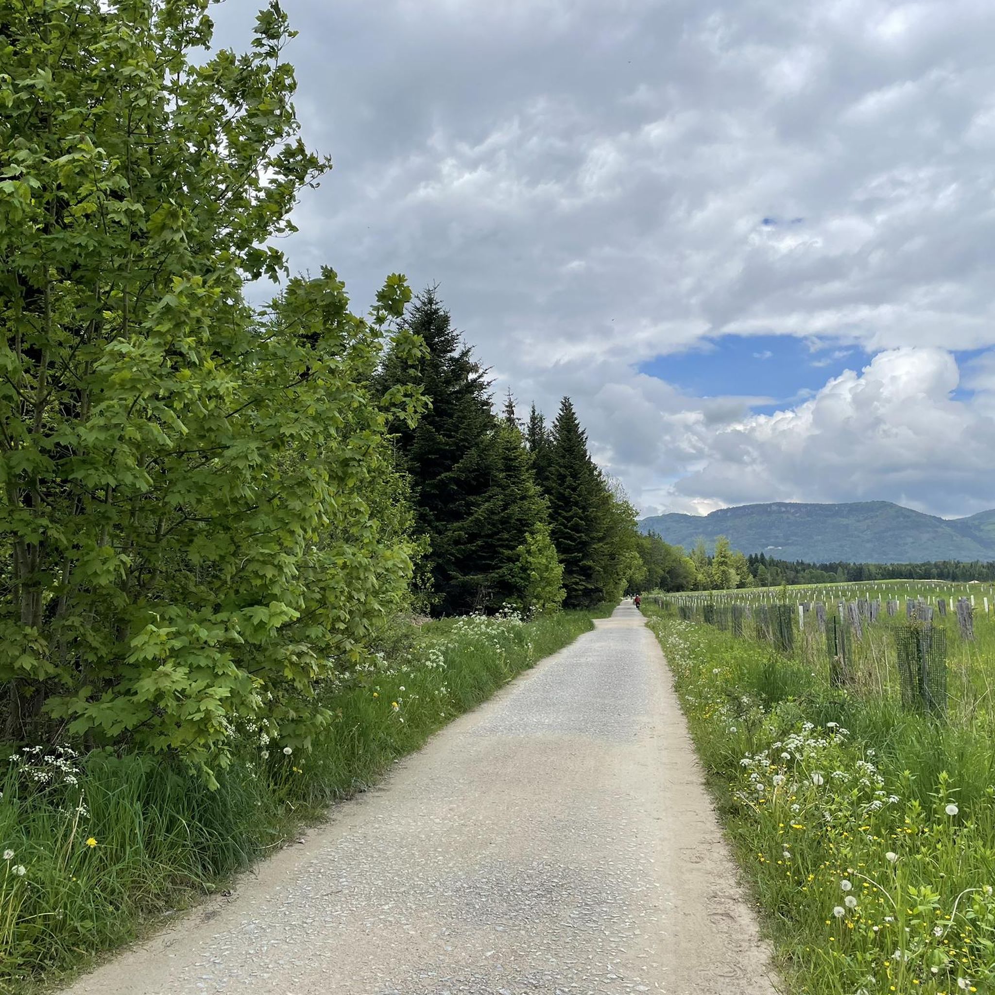
Tips from the Community

Beautiful mountain lodge as a good starting point for a hike across the Belchenflue.
2
0

Ideal resting place with fire pit: carry barbecue food in your backpack!
1
0

A challenging pass in the Tafeljura, the climb is made up of a small road with a maximum gradient of 15% and little traffic. The scenery is very scenic, with magnificent panoramas along the way.
1
1

A brief look back and relics of history. Some information boards along the way describe the events of that time and provide good background information.
1
0

Chamois can often be seen at this spot.
0
0
Nice hike down to the Rhine - a good 30 km.
1
0

Interesting information trail about the First World War
0
0
Impressive viewing point. Former tank turret - part of the First World War memorial trail
0
0
Frequently Asked Questions
How many mountaineering routes are there around Fulenbach?
Komoot features a selection of 5 mountaineering routes around Fulenbach. These routes traverse the region's diverse landscape of river valleys, forests, and gently undulating hills, offering various options for exploration.
Are there easy mountaineering routes suitable for beginners in Fulenbach?
While the listed mountaineering routes are generally moderate to difficult, the region around Fulenbach is characterized by gently undulating terrain and forests, making it suitable for various outdoor activities. For those new to mountaineering, routes like Schneelochberg – Schellenberg loop from Belchenflue, at 2.9 miles (4.7 km), offer a shorter, moderate option to experience the area's natural beauty.
Are there any challenging mountaineering routes around Fulenbach?
Yes, for those seeking a more challenging experience, the Belchenflue Summit Viewpoint – Chilchzimmersattel loop from Langenbruck is classified as difficult. This route spans 15.4 miles (15.4 km) and features significant elevation gain, providing a robust mountaineering adventure.
What kind of landscapes can I expect on mountaineering routes near Fulenbach?
Mountaineering routes near Fulenbach offer a varied landscape, primarily characterized by extensive forests, gently undulating hills, and proximity to the Aare River. You'll find paths winding through wooded areas like Foreban and open agricultural land, providing a mix of natural scenery typical of the Solothurn Mittelland.
Are the mountaineering routes around Fulenbach suitable for families?
The region's gently undulating terrain and forested paths can be suitable for families, especially on shorter, moderate routes. While specific family-friendly designations are not provided for all mountaineering tours, the general landscape lends itself to enjoyable walks for various ages. Consider routes with less elevation gain for younger children.
Can I bring my dog on the mountaineering routes in Fulenbach?
Many trails in the Fulenbach region, particularly those through forests and along the Aare River, are generally dog-friendly. However, it's always advisable to keep dogs on a leash, especially in agricultural areas, near wildlife, or where local regulations require it. Check specific route details for any restrictions.
Are there circular mountaineering routes available?
Yes, several mountaineering routes around Fulenbach are designed as loops, allowing you to start and end at the same point. Examples include the Ruins of Neu-Falkenstein Castle – Roggenschnarz loop from Holderbank SO and the Chilchzimmersattel – Belchenflue Summit Viewpoint loop from Langenbruck.
What is the best season for mountaineering in Fulenbach?
The region around Fulenbach is generally accessible for outdoor activities throughout much of the year. Spring and autumn offer pleasant temperatures and vibrant scenery, while summer provides longer daylight hours. Winter mountaineering is possible, but conditions may vary, especially on higher sections or after snowfall.
Are there any interesting sights or attractions along the routes?
Yes, the routes offer glimpses of historical and natural attractions. For instance, the Ruins of Neu-Falkenstein Castle – Roggenschnarz loop from Holderbank SO explores historical ruins. You can also find highlights like the Chilchzimmersattel mountain pass and the Hauenstein Military Road to the Belchenflue in the vicinity, which can be incorporated into longer excursions.
How can I access the mountaineering routes around Fulenbach using public transport?
While specific public transport details for each trailhead are not provided here, Fulenbach is a municipality in the canton of Solothurn, Switzerland, and is generally well-connected within the Swiss public transport network. It's advisable to check local bus and train schedules to plan your access to the starting points of the routes.
Where can I find places to rest or eat near the trails?
Along and near some routes, you can find places to rest or eat. For example, the Ober-Bölchen Mountain Inn and the Blüemlismatt Mountain Restaurant are highlights in the broader area that could serve as refreshment stops, depending on your chosen route.
What do other komoot users say about mountaineering in Fulenbach?
The mountaineering routes around Fulenbach are highly rated by the komoot community, with an average score of 5.0 stars from over 1 review. Users often appreciate the varied terrain, which includes river valleys, extensive forests, and gently undulating hills, offering a rewarding outdoor experience.
Are there routes that follow the Aare River?
Yes, the Aare River forms the southern and eastern borders of Fulenbach, and its presence is a defining feature of the region. While specific mountaineering routes listed may not exclusively follow the river, many paths in the area offer riverside walks and views, integrating the Aare into the overall outdoor experience.
Most popular routes around Fulenbach
Most popular attractions around Fulenbach

Get inspired with the komoot mobile app


Explore more
Browse the best Mountain Hikes & Routes in other regions.
