The best mountain hikes around Bättwil
5.0
(1)
10
hikers
3
hikes
Mountaineering routes around Bättwil are primarily found within the Jura Mountains, a region characterized by rolling hills, dense forested areas, and distinctive limestone rock formations. The landscape offers a mix of challenging ascents and scenic paths, often providing panoramic views over the surrounding Swiss countryside. Notable natural features include impressive gorges like the Kaltbrunnental, which features streams winding through striking rock walls. This area provides diverse experiences for exploring mountainous terrain, from ridge trails to routes through shaded valleys.
Best…
Last updated: June 24, 2026
3
hikers
13.1km
04:01
430m
430m
Moderate mountaineering route. Good fitness required. Easily-accessible paths. Suitable for all skill levels.
5.0
(1)
2
hikers
8.20km
02:28
240m
240m
Moderate mountaineering route. Good fitness required. Easily-accessible paths. Suitable for all skill levels.

Sign up for free
3
hikers
Moderate mountaineering route. Good fitness required. Easily-accessible paths. Suitable for all skill levels.
2
hikers
14.8km
04:33
440m
440m
Moderate mountaineering route. Good fitness required. Mostly accessible paths. Sure-footedness required.
Our route recommendations are based on thousands of hikes, rides, and runs completed by other people on komoot.
Start today with a free account
Your next adventure awaits.
Login or Signup
Tips from the Community

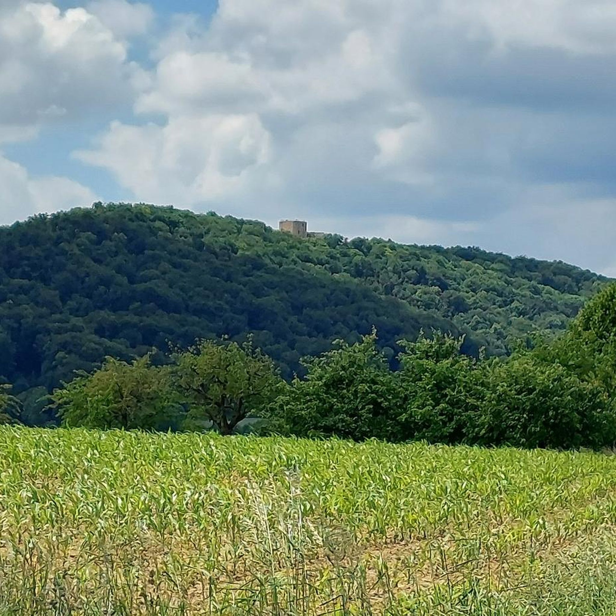
very beautiful castle with a picnic area stone tables and benches and a place for fire.
0
0


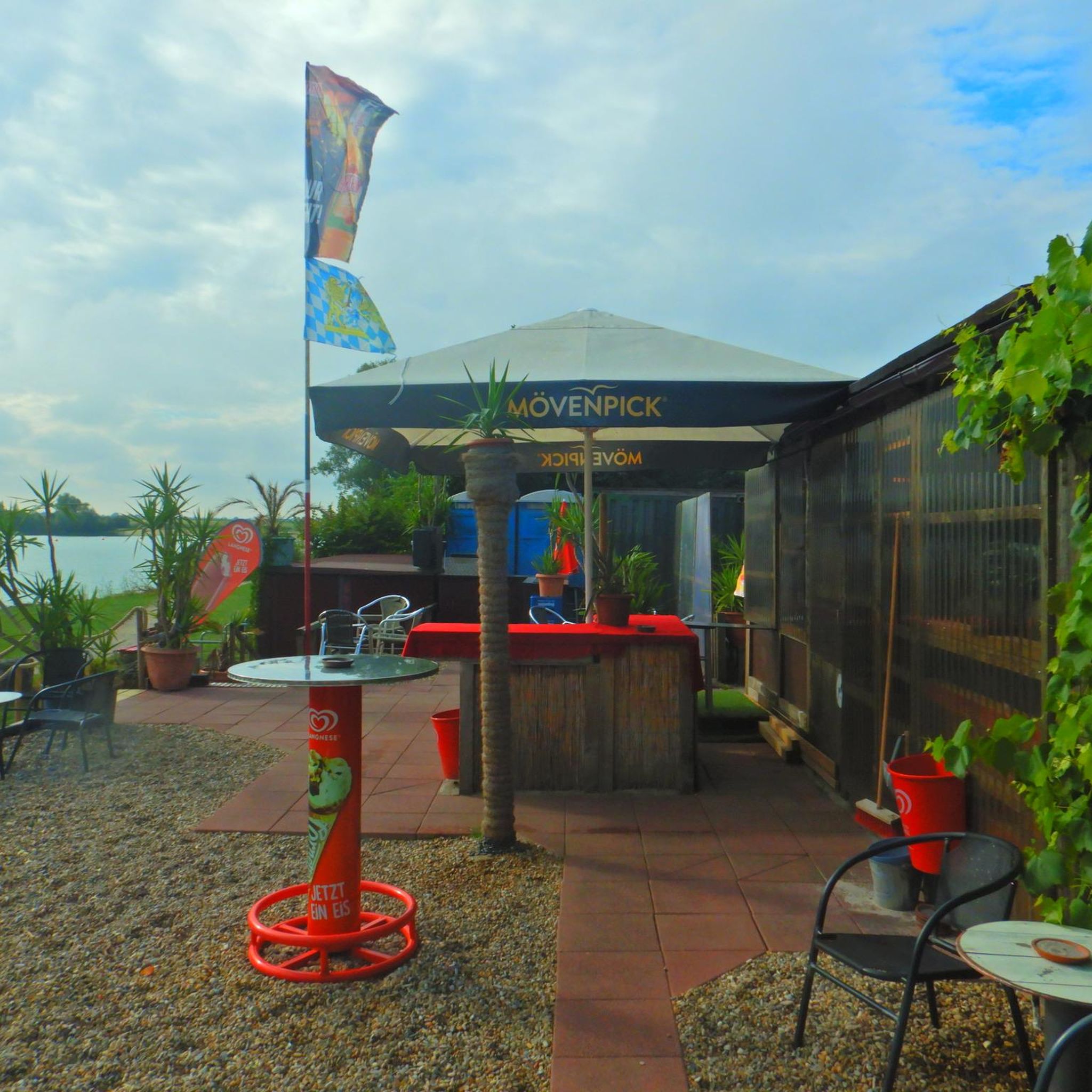
Maya's Häxehüsli is open from May 1st to October 31st. Friday from 1:00 PM until sold out. Saturday and Sunday from 11:00 AM until sold out.
0
0

The Glögglifels is a striking rock formation above Laufen (BL) in the Jura Mountains. It lies on the hiking trail towards the Blauenpass and offers a beautiful view into the Birs Valley. The name likely derives from its bell-like shape or a former bell-ringing site.
5
0
The Glögglifels is a striking rock formation above Zwingen in the Laufental valley. It offers a beautiful view over the Birstal valley and is a popular viewpoint for short hikes. Legends and the name itself lend the place a mystical character.
7
0

Maya's Häxehüsli is hidden in the forest. A simple but special restaurant
0
0
In addition to its scenic beauty, the Kaltbrunnental Valley is a great outdoor playground for families. The stream offers fun activities and children's canyoning, easy access to the water, and barbecue areas are available. A hot tip, especially in summer.
1
0

Frequently Asked Questions
How many mountaineering routes are available around Bättwil?
This guide features 3 dedicated mountaineering routes around Bättwil, all of which are rated as moderate difficulty. These routes offer diverse experiences within the Jura Mountains, characterized by rolling hills, forested areas, and distinctive limestone rock formations.
Are there any family-friendly mountaineering routes near Bättwil?
While all routes in this guide are moderate, the area around Bättwil offers varied terrain that can be enjoyed by families with some hiking experience. For a route that includes a natural highlight, consider the Chastelbach Waterfall – Kaltbrunnental Gorge loop from Grellingen, which is 5.1 miles long and takes about 2 hours 27 minutes. The Kaltbrunnental Gorge itself is a striking natural feature with a stream and shaded paths.
Which routes offer views of castles or historical sites?
You can explore routes that pass by historical landmarks. The Pfeffingen Castle Ruins – Eggflue Viewpoint loop from Aesch BL, an 8.1-mile route, offers views towards historic castle ruins and scenic viewpoints. Another option is the Neu-Thierstein Castle – Kaltbrunnental Stream loop from Breitenbach, which is 9.2 miles long and takes approximately 4 hours 32 minutes.
Are there any circular mountaineering routes in the Bättwil area?
Yes, all the mountaineering routes highlighted in this guide are circular. For example, the Chälengrabenschlucht – View from Blauepass loop from Bezirk Dorneck is an 8.5-mile circular trail that leads through the Chälengrabenschlucht gorge, typically completed in about 4 hours 17 minutes.
What kind of natural attractions can I expect to see on these routes?
The routes around Bättwil are nestled within the Jura Mountains, offering diverse natural beauty. You can expect to see impressive gorges like the Kaltbrunnental Gorge, featuring streams winding through striking rock walls. The region is also characterized by rolling hills and dense forested areas, providing panoramic views over the Swiss countryside. Some routes also feature waterfalls, such as the Chastelbach Waterfall.
What is the best time of year for mountaineering around Bättwil?
The Jura Mountains, being at a lower altitude than the Alps, are generally accessible for hiking and mountaineering from spring through autumn. The Kaltbrunnental Gorge, with its tree shade, is particularly appealing during summer for a refreshing experience. Spring and autumn also offer pleasant conditions for exploring the trails.
Are there options for more challenging mountaineering experiences in the wider Jura region?
While the routes in this specific guide are moderate, the broader Jura Mountains region does offer opportunities for more demanding hikes. Some sections of the Jura Crest Trail, for instance, feature tricky footing on slanted rock slabs along ridge lines, providing an engaging experience for those comfortable with such terrain. The region is also known for rock climbing opportunities.
What do other mountaineers enjoy most about the routes in Bättwil?
The mountaineering routes around Bättwil are highly rated by the komoot community, with an average score of 5.0 stars. Reviewers often praise the diverse terrain, which includes scenic paths through forested areas, dramatic rock formations, and impressive gorges. The panoramic views over the surrounding Swiss countryside are also a frequently mentioned highlight.
Are there any specific points of interest or landmarks near the mountaineering trails?
Beyond the trails themselves, the region offers several points of interest. You might consider visiting the Ermitage Arlesheim Landscape Garden or the Park im Grünen (Grün 80). For urban exploration, the Rhine Promenade in Basel and the Basel Market Square are also within reach.
Is it possible to access these mountaineering routes using public transport?
The Jura Mountains region, including areas around Bättwil, is generally well-connected. While specific public transport details for each trailhead are best checked locally, many hiking areas in Switzerland are accessible via train and bus networks. For broader regional information on hiking in the Jura, you can consult resources like MySwitzerland.com.
Are the mountaineering routes around Bättwil suitable for beginners?
The routes listed in this guide are all rated as moderate. While they don't require advanced mountaineering skills, they do involve distances of 5 to 9 miles and elevation gains of 240 to 500 meters, making them suitable for beginners with a reasonable level of fitness and appropriate gear. The terrain often includes varied paths through forests and along ridges.
Most popular routes around Bättwil
Most popular attractions around Bättwil

Get inspired with the komoot mobile app


Explore more
Browse the best Mountain Hikes & Routes in other regions.
