The best mountain hikes around Bettlach
4.9
(17)
73
hikers
8
hikes
Mountaineering routes around Bettlach are situated in the Lebern region, characterized by its mountainous terrain. The area offers a range of elevations suitable for challenging ascents and provides access to various viewpoints. The landscape typically includes forested slopes and open ridges, contributing to diverse mountaineering experiences.
Best mountaineering routes around Bettlach
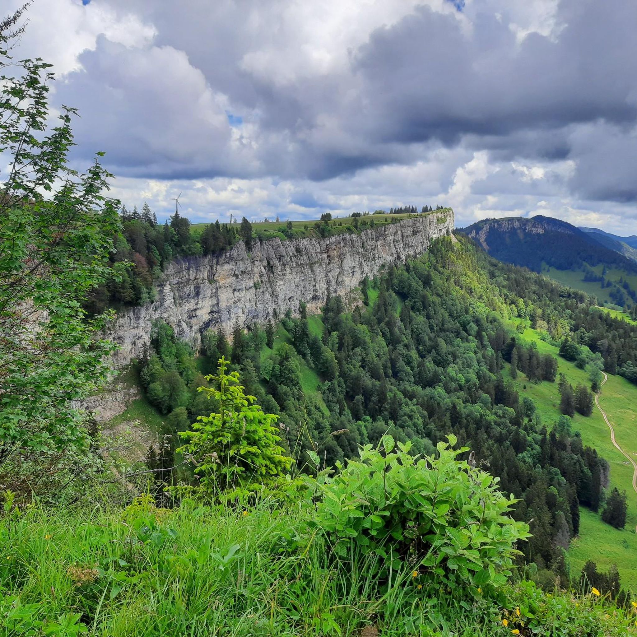
- The most popular mountaineering route is View from Balmfluehchöpfli – Herrenloch Cave loop from Rüttenen, a 4.8 miles (7.8 km) trail that takes 3 hours 55 minutes to…
Last updated: October 11, 2026
8
hikers
7.77km
03:56
640m
630m
Hard mountaineering route. Good fitness required. Sure-footedness, sturdy shoes and alpine experience required.
5.0
(3)
6
hikers
14.2km
06:06
900m
900m
Hard mountaineering route. Very good fitness required. Sure-footedness, sturdy shoes and alpine experience required.

5.0
(1)
8
hikers
10.3km
03:44
580m
580m
Moderate mountaineering route. Good fitness required. Mostly accessible paths. Sure-footedness required.
5.0
(4)
4
hikers
14.9km
06:02
890m
890m
Hard mountaineering route. Very good fitness required. Sure-footedness, sturdy shoes and alpine experience required.
4.0
(1)
4
hikers
12.5km
04:49
770m
770m
Hard mountaineering route. Good fitness required. Sure-footedness, sturdy shoes and alpine experience required.
Get access to more routes and recommendations from other explorers.
Already have an account?
Our route recommendations are based on thousands of hikes, rides, and runs completed by other people on komoot.
Start today with a free account
Your next adventure awaits.
Tips from the Community

It was a Grenchner castle on Bettlach soil ;)
0
0

pretty here, very pretty
1
0

The Herrenloch is a cave with two entrances - a kind of tunnel - below the Balmfluechöpfli. It can be reached by trails both from the west ridge of the Balmfluechöpfli and as the end of the Hornpfad. The exit on the east side is reserved for the very experienced only; there has also been a fatal fall here. From the western entrance of the Herrenloch, you can also climb directly to the summit of the Balmfluechöpfli via trails.
0
0

A beautiful, easy hike in the Jura Mountains with lovely views.
0
0
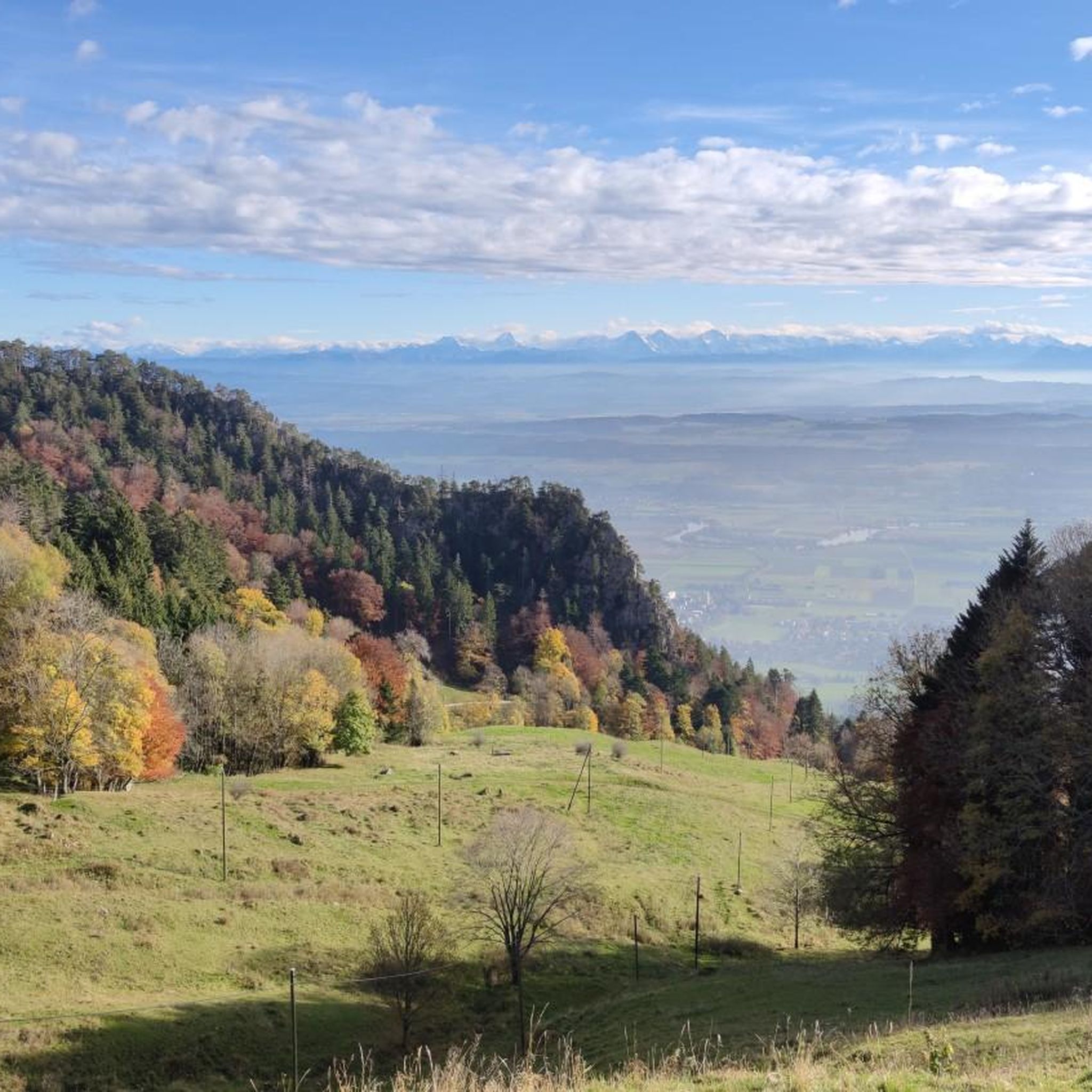
Top view of the Wandflue, the Jura Mountains, Lake Biel-Neuchâtel, and the Bernese Midlands.
2
0

I reached the Herrenloch via the Hornpfad, which should only be walked uphill due to the danger of rockfall.
1
2

A tiny cave that can be reached on the way to or from Balmfluechöpfli via a T5 route. The route is well marked and secured, but sturdy shoes and surefootedness are recommended.
2
0
Frequently Asked Questions
What is the typical difficulty level of mountaineering routes around Bettlach?
The mountaineering routes around Bettlach are generally challenging. Most of the available routes are classified as difficult, with a few moderate options. There are no easy routes listed, so a good level of fitness and experience is recommended for these ascents.
Are there any routes suitable for beginners or families around Bettlach?
Given that most routes are classified as difficult and some as moderate, the area around Bettlach is more suited for experienced mountaineers. There are no easy routes specifically designed for beginners or young families looking for a gentle introduction to mountaineering in this guide.
What are the typical lengths and durations of mountaineering routes in this area?
The routes vary in length and duration. For example, the View from Balmfluehchöpfli – Herrenloch Cave loop from Rüttenen is about 4.8 miles (7.8 km) and takes nearly 4 hours, while the Gitziflue Viewpoint – Hasenmatt Summit Cross loop from Oberdorf SO is longer at 8.7 miles (14.0 km) and can take over 6 hours.
Are there circular mountaineering routes available near Bettlach?
Yes, many of the mountaineering routes around Bettlach are designed as loops, offering a complete circular experience. Examples include the Plateforme – Cabane des Gorges loop from Moutier and the View from Balmfluehchöpfli – Röti Summit (1,395 m) loop from Rüttenen.
What kind of views and landmarks can I expect to see along the mountaineering routes?
The routes offer prominent viewpoints and challenging summits. You can expect panoramic views from places like Weissenstein, Röti, and Balmfluechöpfli Summit. The Gitziflue Viewpoint – Hasenmatt Summit Cross loop from Oberdorf SO leads to a prominent summit cross.
Are there places to eat or rest along the mountaineering trails?
Yes, there are several huts and restaurants in the vicinity that can serve as resting points or places to grab a meal. Notable options include Untergrenchenberg Restaurant, Kurhaus Bözingen, and Restaurant Oberdörfer.
When is the best time of year to go mountaineering around Bettlach?
The best time for mountaineering around Bettlach is typically during the warmer months, from late spring to early autumn (May to October), when trails are generally clear of snow and weather conditions are more stable. Always check local weather forecasts before heading out.
What do other mountaineers enjoy the most about the routes in Bettlach?
The routes in Bettlach are highly rated by the komoot community, with an average score of 5.0 stars. Reviewers often praise the challenging ascents, the prominent viewpoints, and the diverse terrain that includes both forested slopes and open ridges.
Is winter mountaineering possible around Bettlach?
While the region offers mountainous terrain, winter mountaineering requires specialized equipment and experience due to snow, ice, and colder conditions. It's crucial to check current trail conditions and avalanche warnings if considering winter ascents, as some routes may become impassable or significantly more dangerous.
Are there any less-known or 'hidden gem' mountaineering trails in the area?
For those looking for a challenging route that might be less frequented than the most popular ones, consider the Küferweg Trail (T3) loop from Bezirk Lebern. This difficult route offers significant elevation gain and a rewarding experience away from the busiest paths.
What kind of terrain can I expect on these mountaineering routes?
The terrain around Bettlach is varied, featuring forested slopes, open ridges, and challenging ascents. You'll encounter paths that lead through gorges, to elevated viewpoints, and up to prominent summits, providing a diverse mountaineering experience.
Most popular routes around Bettlach
Most popular attractions around Bettlach

Get inspired with the komoot mobile app


Explore more
Browse the best Mountain Hikes & Routes in other regions.
