The best mountain hikes around Niederbipp
5.0
(3)
22
hikers
3
hikes
Mountaineering routes Niederbipp are primarily found within the Jura chain, offering demanding ridge routes and high-altitude walks. The landscape features varied terrain, including challenging climbs and panoramic viewpoints over the Central Plateau. This region is characterized by its proximity to the Jura mountains, providing diverse opportunities for strenuous outdoor activities.
Best mountaineering routes around Niederbipp
- The most popular mountaineering route is View from Balmfluehchöpfli – Herrenloch Cave loop from Balm b. Günsberg, a 2.9 miles (4.7 km) trail that…
Last updated: May 11, 2026
5.0
(2)
9
hikers
4.62km
03:03
540m
540m
Hard mountaineering route. Good fitness required. Sure-footedness, sturdy shoes and alpine experience required.
2
hikers
Hard mountaineering route. Very good fitness required. Sure-footedness, sturdy shoes and alpine experience required.

Sign up for free
2
hikers
Moderate mountaineering route. Good fitness required. Mostly accessible paths. Sure-footedness required.
5.0
(1)
3
hikers
11.2km
03:29
410m
410m
Moderate mountaineering route. Good fitness required. Mostly accessible paths. Sure-footedness required.
6
hikers
7.27km
03:25
620m
610m
Hard mountaineering route. Good fitness required. Sure-footedness, sturdy shoes and alpine experience required.
Our route recommendations are based on thousands of hikes, rides, and runs completed by other people on komoot.
Start today with a free account
Your next adventure awaits.
Login or Signup
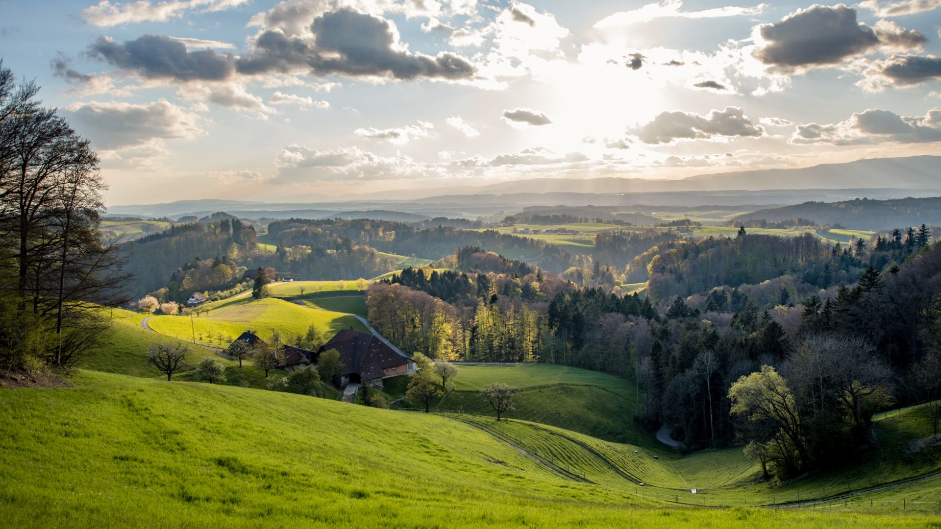
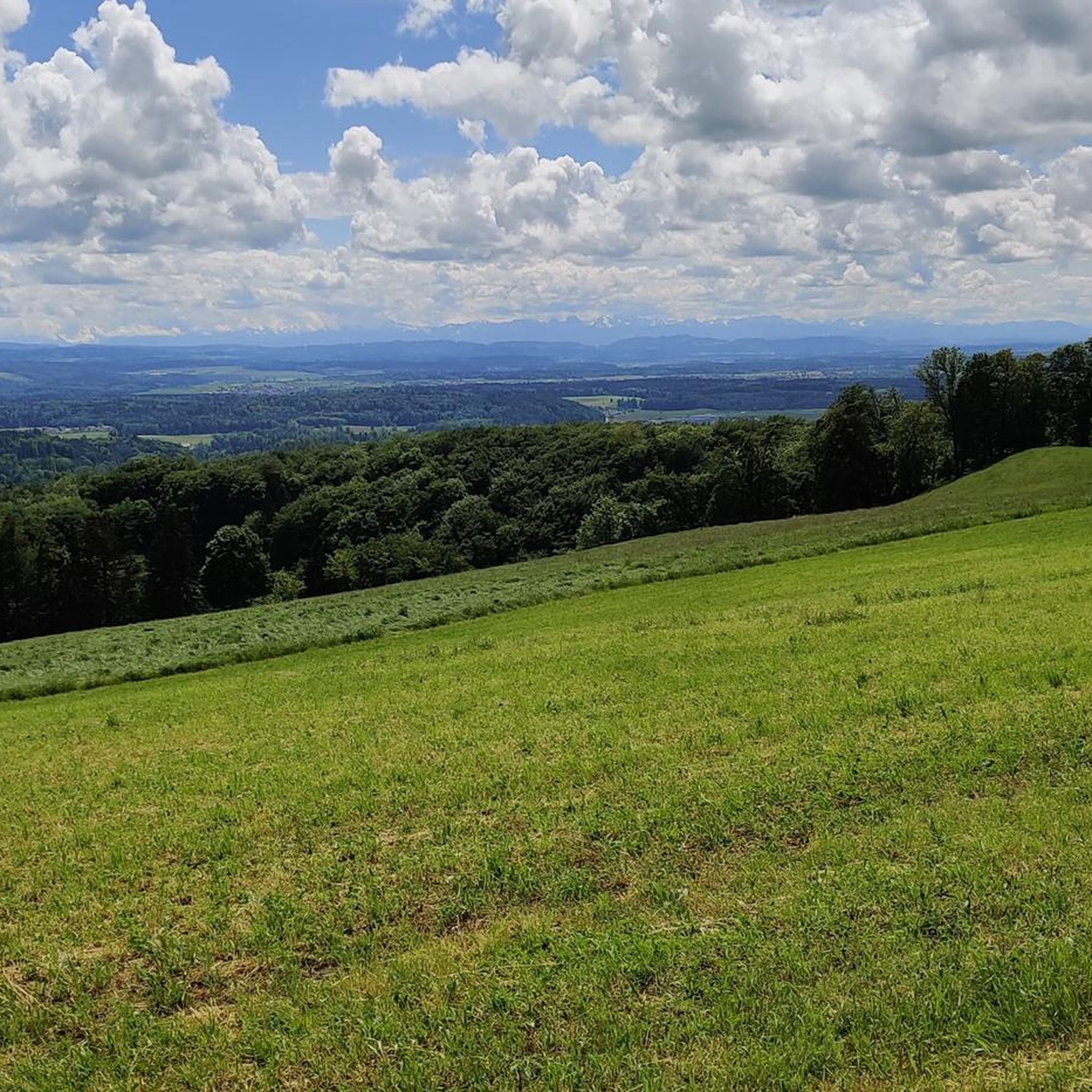
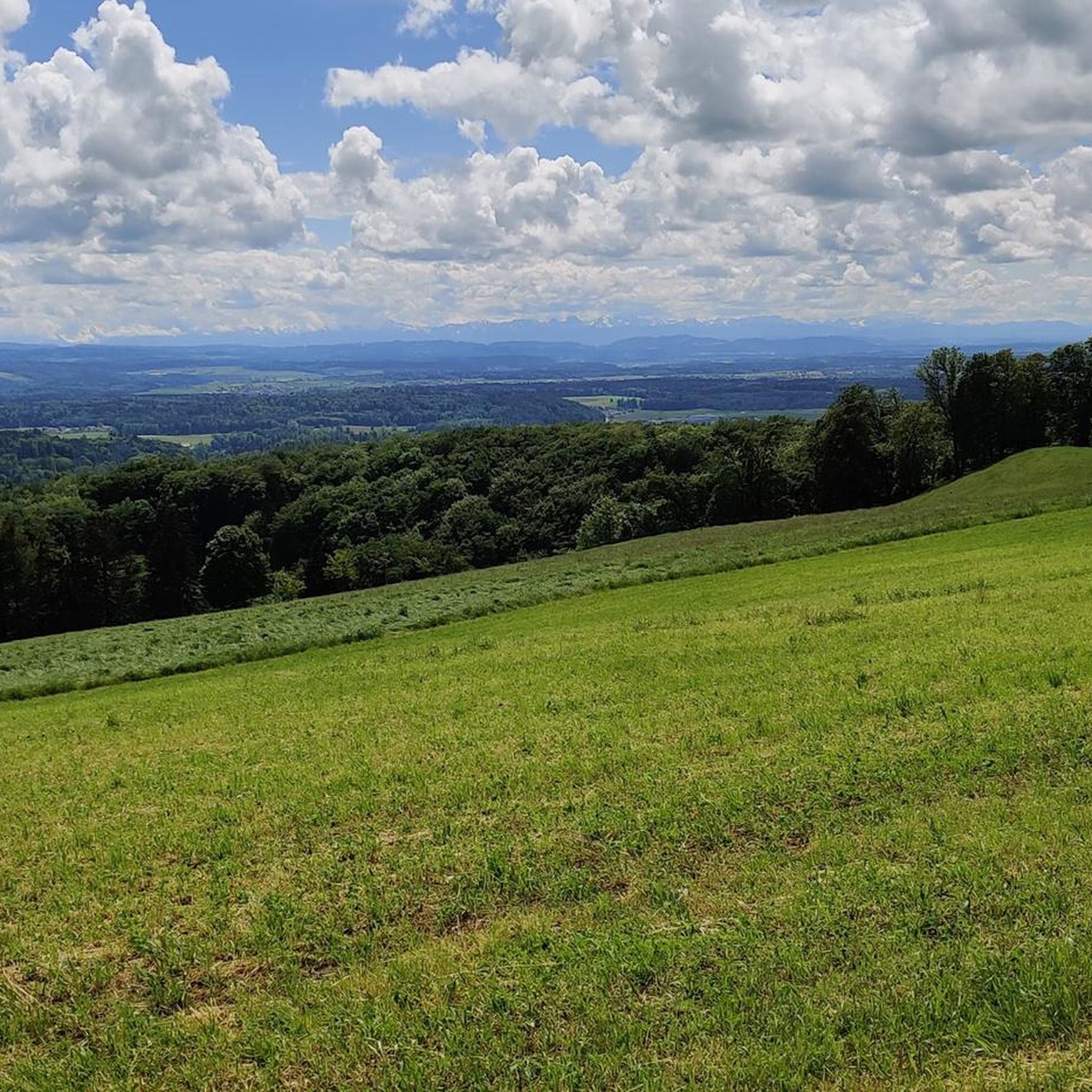
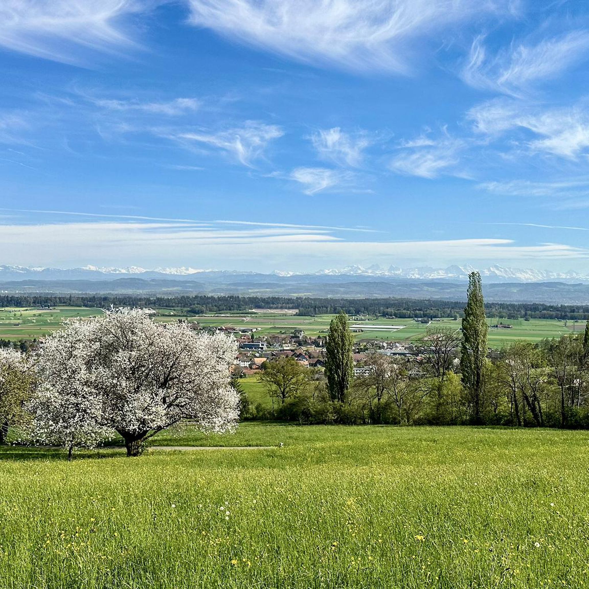
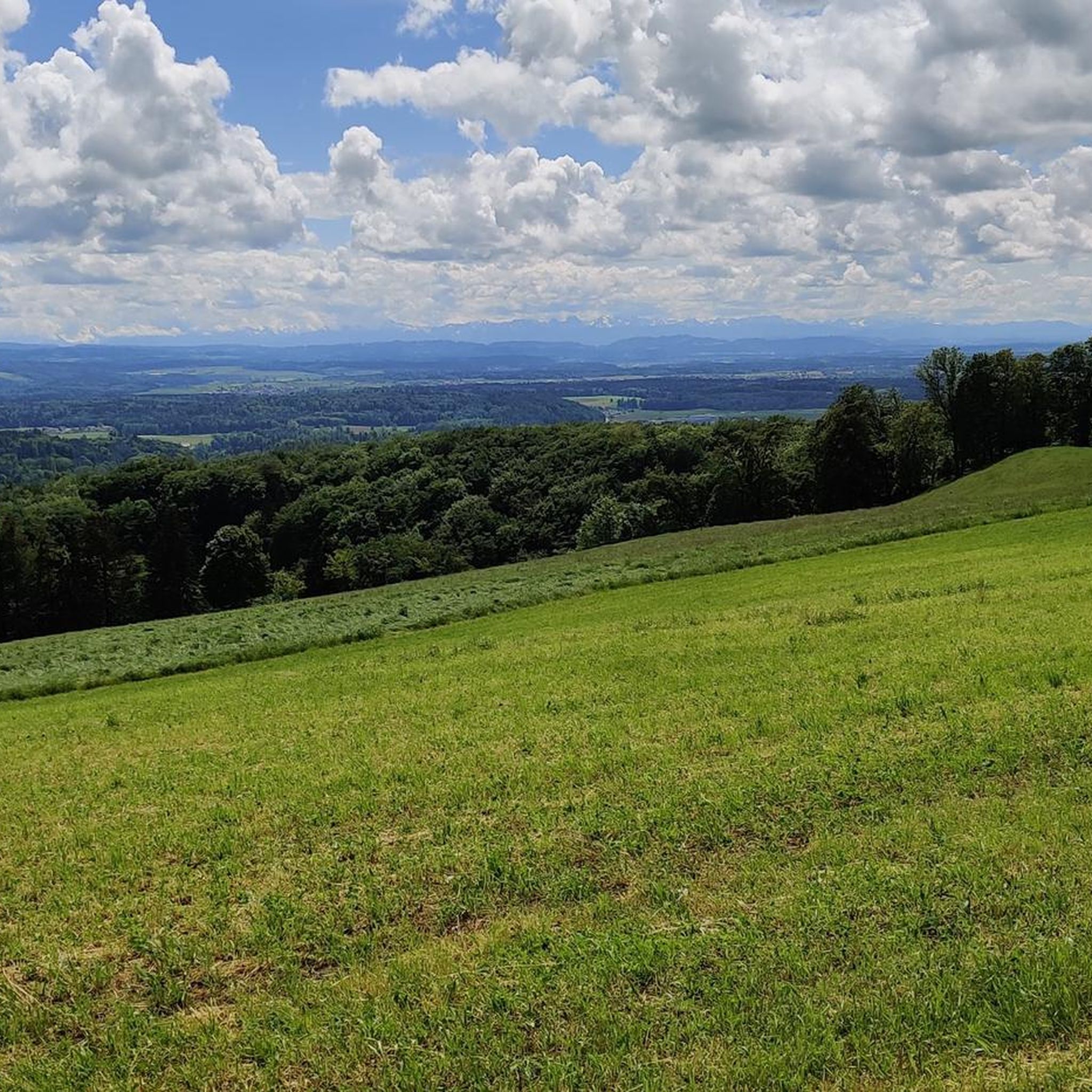
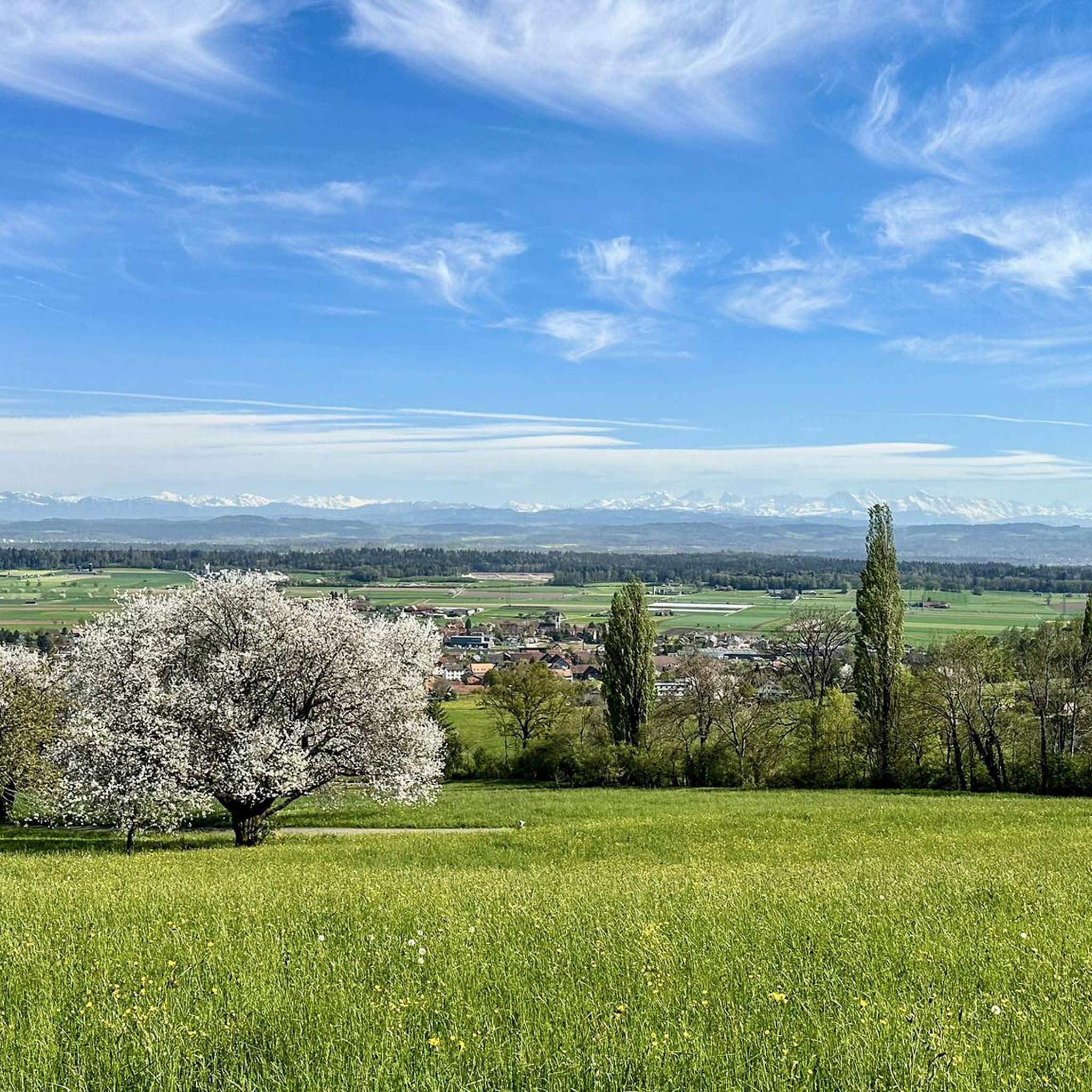
Other adventures around Niederbipp

Tips from the Community

pretty here, very very pretty. Is worth a visit.
1
2
pretty here, very very pretty. It is worth a visit.
1
0
Frequently Asked Questions
What kind of terrain can I expect on mountaineering routes around Niederbipp?
Mountaineering routes in the Niederbipp region, primarily within the Jura chain, feature varied and often demanding terrain. You can expect challenging climbs, ridge routes requiring surefootedness, and high-altitude walks. The landscape offers diverse experiences, from panoramic paths to areas with significant elevation gain.
Are there any circular mountaineering routes available?
Yes, several circular routes are available. For instance, the View from Balmfluehchöpfli – Herrenloch Cave loop from Balm b. Günsberg is a challenging 4.7 km loop that takes about 3 hours to complete, featuring significant elevation gain. Another option is the Roggenflue Viewpoint – Ruins of Neu-Falkenstein Castle loop from Thalbrücke, a longer 16.5 km difficult path offering expansive views.
What interesting landmarks or natural features can I see on these routes?
The region is rich in natural beauty and historical sites. You can explore the Wolf Gorge or the Teufelsküche (Solothurn Jura). Many routes also pass by prominent summits like Hällchöpfli, the highest point in Oberaargau, or offer views from the Hohe Winde Summit, known for its panoramic vistas stretching to the Alps, Vosges, and Black Forest. The Ruins of Neu-Falkenstein Castle – Roggenschnarz loop from Holderbank SO also takes you past historical ruins.
Are the mountaineering routes around Niederbipp suitable for families?
The mountaineering routes listed here are generally quite demanding, with most classified as 'moderate' or 'difficult' and involving significant elevation changes. While the broader Bipper Jura offers some gently rolling landscapes suitable for cozy circular hikes, these specific mountaineering routes are better suited for experienced hikers seeking a challenge rather than young families.
Can I bring my dog on these mountaineering trails?
While many trails in Switzerland are dog-friendly, the demanding nature of these mountaineering routes, which often include narrow ridges and challenging ascents, means they might not be suitable for all dogs. Always ensure your dog is fit enough for the terrain and duration, and keep them on a leash, especially in areas with wildlife or livestock. Check local regulations for specific trails.
How many mountaineering routes are there in Niederbipp?
There are several mountaineering routes around Niederbipp, with at least 5 detailed tours available in this guide. These range from moderate to difficult in terms of challenge.
What do other mountaineers enjoy most about the routes in Niederbipp?
The komoot community highly rates the mountaineering routes in Niederbipp, with an average score of 5.0 stars from 4 reviews. Mountaineers often praise the spectacular views over the Central Plateau to the Alps, the challenging ridge routes, and the diverse landscapes encountered during these high-altitude walks.
Are there any routes that offer particularly good panoramic views?
Absolutely. The Jura chain is renowned for its panoramic views. The Hohe Winde Summit, for example, lives up to its name as a 'wind mountain' by offering phenomenal panoramic views. Similarly, the Jura Ridge Route provides spectacular vistas over the Central Plateau to the Alps. The Chilchzimmersattel – Belchenflue Summit Viewpoint loop from Langenbruck is another route known for its viewpoints.
What is the best time of year to go mountaineering in Niederbipp?
The best time for mountaineering in Niederbipp is typically during the warmer months, from late spring to early autumn (May to October). During this period, the trails are generally free of snow, and the weather is more stable, offering clearer views. Always check local weather forecasts before heading out, as conditions can change rapidly in mountainous areas.
Are there any mountain huts or places to eat along the trails?
While specific mountain huts directly on every route are not detailed, the region research mentions several mountain inns along demanding Jura hikes, such as those leading via Weissenstein. It's advisable to carry sufficient provisions, but you may find opportunities for refreshments in charming villages or at specific points along longer routes.
How can I access these mountaineering routes using public transport?
Niederbipp is located in Switzerland, which has an excellent public transport network. Many trailheads in the Jura region are accessible by train or bus. It's recommended to check the SBB (Swiss Federal Railways) website or app for specific connections to villages like Balm b. Günsberg, Thalbrücke, Holderbank SO, or Langenbruck, which serve as starting points for these routes.
Where can I find parking for these mountaineering routes?
Parking is generally available in or near the villages that serve as starting points for these routes. For example, you would typically find parking in Balm b. Günsberg, Thalbrücke, Holderbank SO, or Langenbruck. Always look for designated parking areas and be mindful of local regulations and private property.
Most popular routes around Niederbipp
Most popular attractions around Niederbipp

Get inspired with the komoot mobile app


Explore more
Browse the best Mountain Hikes & Routes in other regions.
