The best mountain hikes around Grandval
5.0
(16)
88
hikers
12
hikes
Mountaineering routes around Grandval are situated in a region characterized by significant elevation changes and prominent peaks. The terrain features challenging ascents to summits and viewpoints, offering expansive vistas. These routes often traverse varied landscapes, including forested sections and open mountain ridges. The area provides a robust environment for experienced mountaineers seeking demanding trails.
Best mountaineering routes around Grandval
- The most popular mountaineering route is Herrenloch Cave – View from Balmfluehchöpfli loop from Rüttenen, a 4.7 miles (7.6 km)…
Last updated: July 8, 2026
5.0
(3)
23
hikers
7.79km
03:44
650m
650m
Hard mountaineering route. Good fitness required. Sure-footedness, sturdy shoes and alpine experience required.
7
hikers
7.52km
03:49
630m
620m
Hard mountaineering route. Good fitness required. Sure-footedness, sturdy shoes and alpine experience required.

Sign up for free
5.0
(1)
8
hikers
7.60km
02:40
350m
350m
Moderate mountaineering route. Good fitness required. Mostly accessible paths. Sure-footedness required.
5.0
(2)
4
hikers
14.1km
06:04
900m
900m
Hard mountaineering route. Very good fitness required. Sure-footedness, sturdy shoes and alpine experience required.
6
hikers
10.3km
03:44
580m
580m
Moderate mountaineering route. Good fitness required. Mostly accessible paths. Sure-footedness required.
Get access to more routes and recommendations from other explorers.
Sign up for free
Already have an account?
Our route recommendations are based on thousands of hikes, rides, and runs completed by other people on komoot.
Start today with a free account
Your next adventure awaits.
Login or Signup
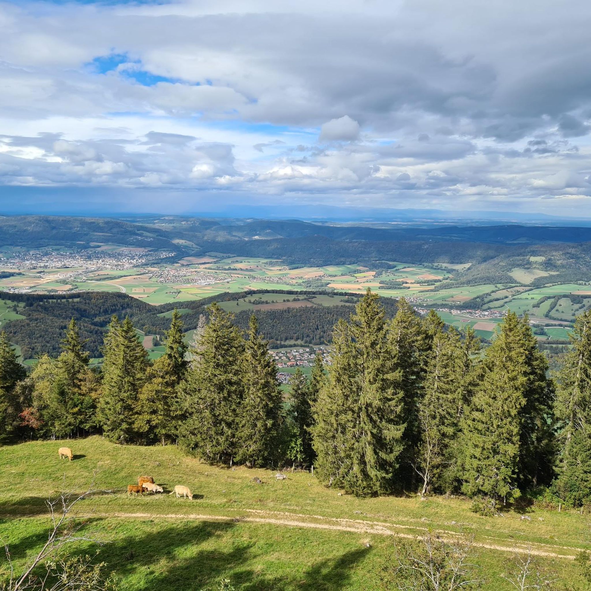
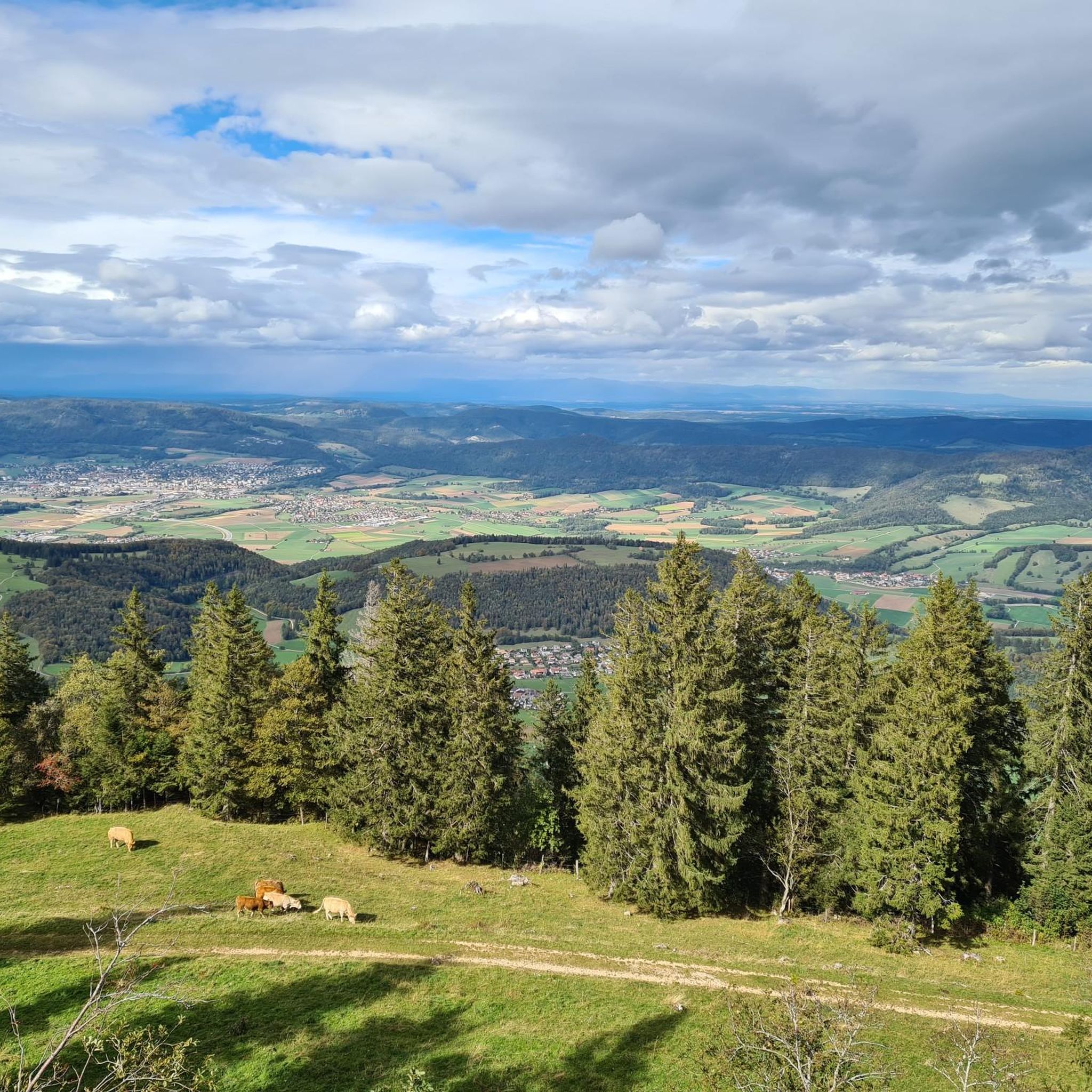
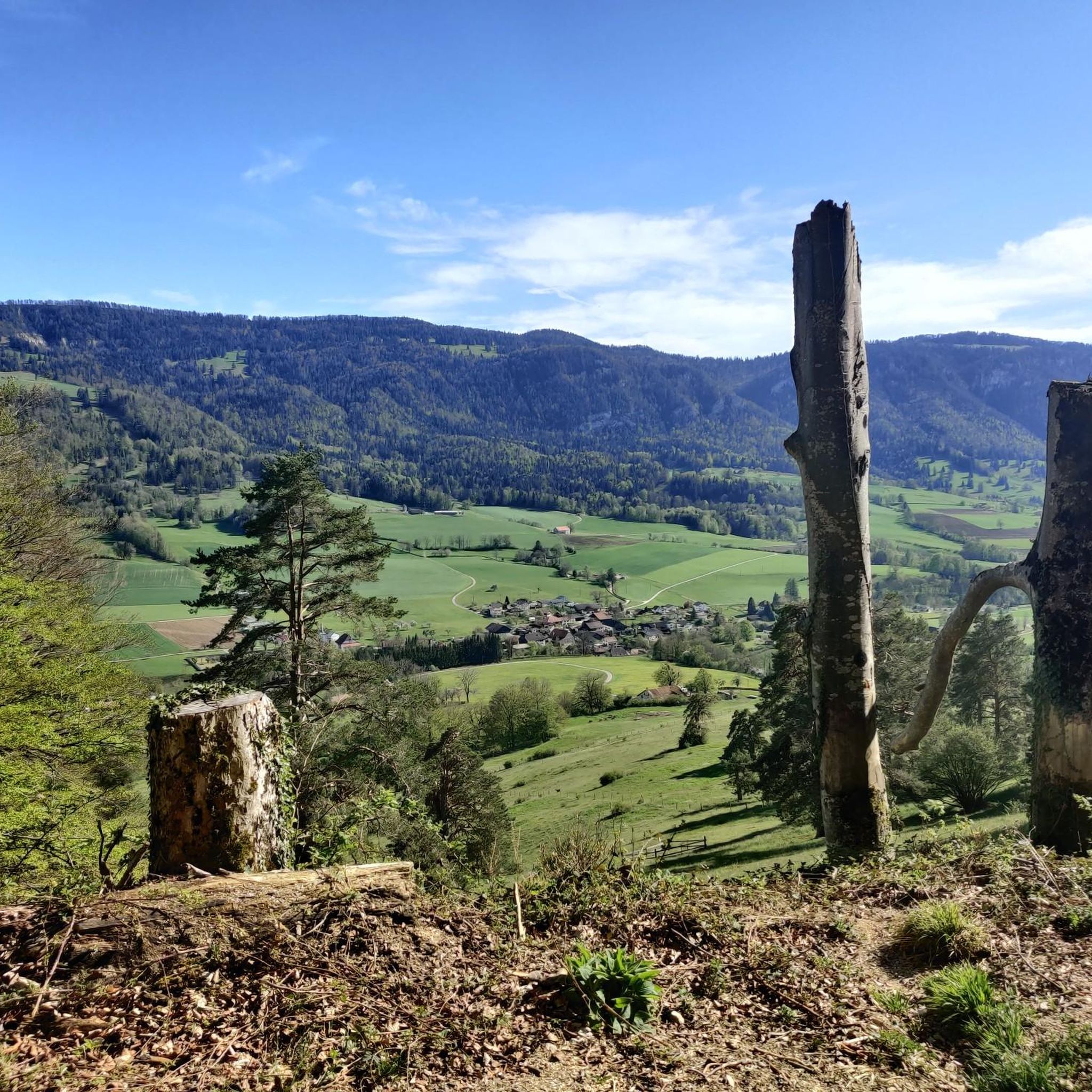
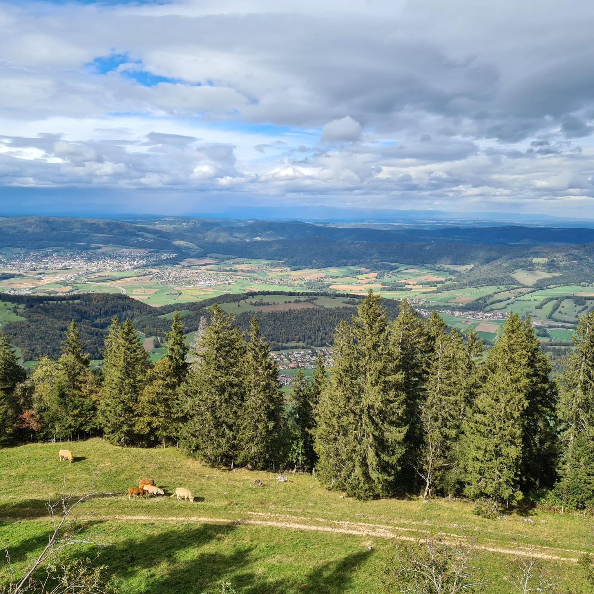
Tips from the Community

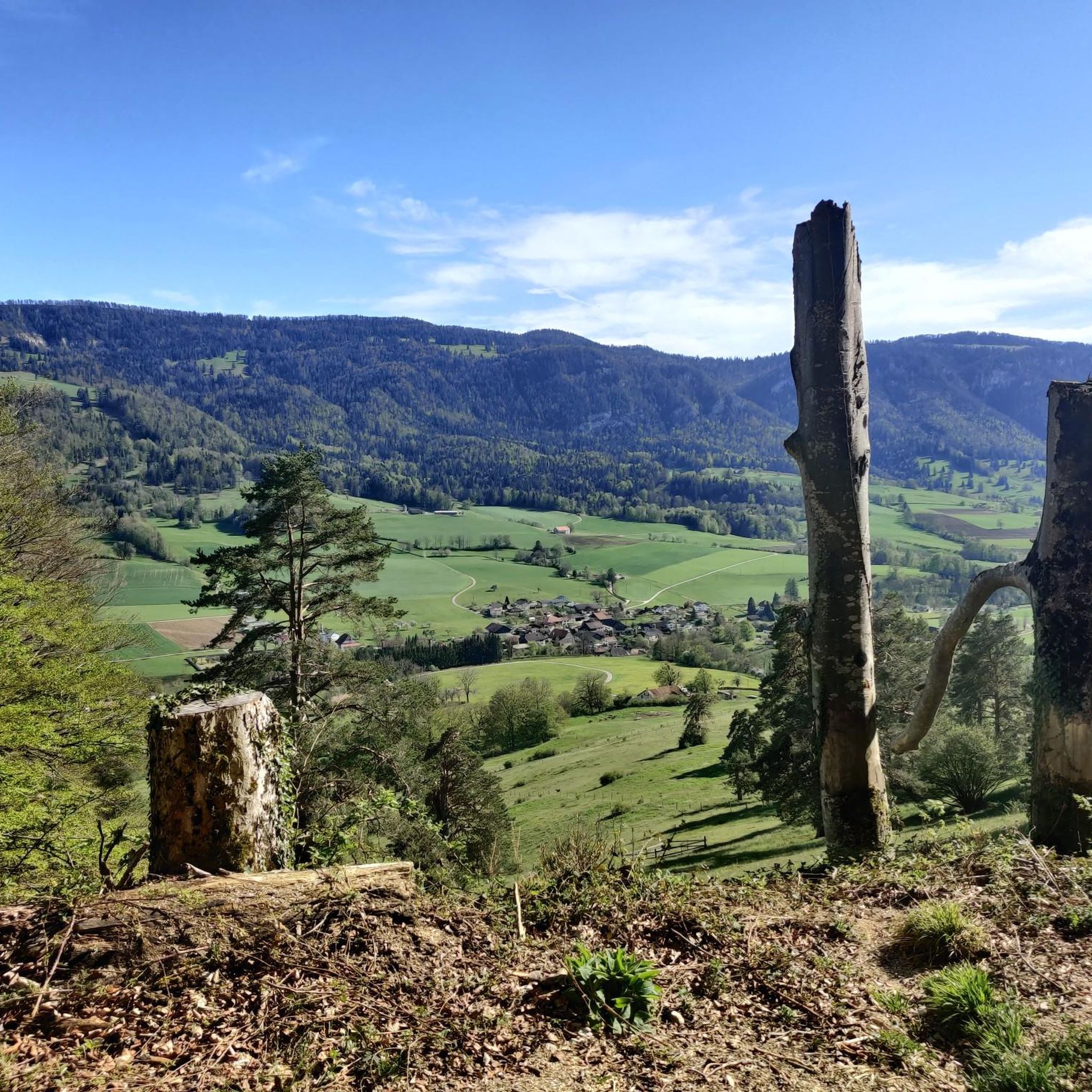
The Herrenloch is a cave with two entrances - a kind of tunnel - below the Balmfluechöpfli. It can be reached by trails both from the west ridge of the Balmfluechöpfli and as the end of the Hornpfad. The exit on the east side is reserved for the very experienced only; there has also been a fatal fall here. From the western entrance of the Herrenloch, you can also climb directly to the summit of the Balmfluechöpfli via trails.
0
0

wonderful and very beautiful area here
2
0
wonderful and very beautiful area here
3
0
pretty here, very pretty
0
2
Frequently Asked Questions
What is the typical difficulty of mountaineering routes in Grandval?
Mountaineering routes in Grandval are primarily challenging, with the majority (10 out of 14) rated as 'difficult'. The region is characterized by significant elevation changes and prominent peaks, making it ideal for experienced mountaineers seeking demanding trails. There are also 4 'moderate' routes available for those looking for a slightly less strenuous experience.
How long do mountaineering routes around Grandval typically take?
The duration of mountaineering routes in Grandval varies. For instance, the challenging Herrenloch Cave – View from Balmfluehchöpfli loop from Rüttenen typically takes around 3 hours 41 minutes to complete. Longer routes, such as the difficult Gitziflue Viewpoint – Hasenmatt Summit Cross loop from Oberdorf SO, can take over 6 hours.
Are there any family-friendly mountaineering routes in Grandval?
The mountaineering routes around Grandval are generally designed for experienced hikers due to significant elevation gains and challenging terrain. While there are some 'moderate' options, such as the Plateforme – Cabane des Gorges loop from Moutier, which is 6.4 miles (10.3 km) long, they still require a good level of fitness and are not typically recommended for young children or beginners in mountaineering.
Can I find circular mountaineering routes in Grandval?
Yes, many of the mountaineering routes in Grandval are circular, offering varied scenery without retracing your steps. Examples include the View from Balmfluehchöpfli – Röti Summit (1,395 m) loop from Balm b. Günsberg, which provides a rewarding journey to a summit, and the View from Balmfluehchöpfli – Herrenloch Cave loop from Rüttenen.
What interesting sights can I explore near the mountaineering routes in Grandval?
Beyond the trails, the Grandval region offers several historical and natural attractions. You can explore various castles and ruins, such as the Balmfluh Castle Ruins or Ruins of Grenchen Castle. The area is also known for its impressive gorges, including the Verenaschlucht and Hermitage and Wolf Gorge, which can be fascinating detours.
What are some of the best viewpoints along Grandval mountaineering routes?
Many routes in Grandval lead to spectacular viewpoints. The View from Balmfluehchöpfli – Röti Summit (1,395 m) loop from Balm b. Günsberg offers expansive vistas from Röti Summit. Other routes, like the Gitziflue Viewpoint – Hasenmatt Summit Cross loop from Oberdorf SO, are specifically named for their scenic outlooks, providing panoramic views of the surrounding mountainous landscape.
Is mountaineering in Grandval possible during winter?
While the Grandval region offers challenging ascents and varied terrain, winter conditions can significantly increase the difficulty and risks associated with mountaineering. Snow, ice, and shorter daylight hours require specialized equipment, experience, and careful planning. It's advisable to check local weather forecasts and trail conditions before attempting any routes during the winter months.
What do other mountaineers say about the routes in Grandval?
The mountaineering routes in Grandval are highly regarded by the komoot community, boasting an average rating of 5.0 stars from over 10 reviews. Mountaineers often praise the challenging nature of the trails, the rewarding panoramic views from summits and viewpoints, and the diverse mountain paths that make for a robust outdoor experience.
Are there any less-known mountaineering routes in Grandval worth exploring?
While the most popular routes are well-trodden, Grandval has a network of 14 mountaineering tours, offering plenty of opportunities to discover less-frequented paths. Exploring routes beyond the top-rated ones can lead to unique experiences and quieter sections of the mountains. Consider using the komoot app to filter for routes that might be off the main tourist radar.
Can I bring my dog on mountaineering trails in Grandval?
Generally, dogs are welcome on many trails in the Grandval region. However, given the challenging nature of the mountaineering routes, with significant elevation changes and potentially rugged terrain, ensure your dog is fit enough for the excursion. Always keep your dog on a leash, especially in areas with wildlife or livestock, and be mindful of local regulations regarding pets in natural areas.
Where can I find parking for mountaineering routes in Grandval?
Parking availability varies depending on the specific trailhead. Many mountaineering routes in Grandval start from villages or accessible points like Rüttenen, Balm b. Günsberg, or Oberdorf SO. It's recommended to check the starting point of your chosen route on komoot for information on nearby parking facilities, which are often available in or near these communities.
What kind of wildlife might I encounter while mountaineering in Grandval?
The mountainous terrain and varied landscapes of Grandval provide habitats for diverse wildlife. While mountaineering, you might spot various bird species, including birds of prey soaring above the peaks. Keep an eye out for chamois or ibex on higher rocky slopes, and deer in forested areas. Maintaining a respectful distance and quiet observation will enhance your chances of a wildlife encounter.
Most popular routes around Grandval
Most popular attractions around Grandval

Get inspired with the komoot mobile app


Explore more
Browse the best Mountain Hikes & Routes in other regions.
