The best mountain hikes around Wetzikon (ZH)
4.8
(3)
23
hikers
4
hikes
Mountaineering around Wetzikon (ZH) offers a diverse landscape characterized by rolling hills, dense woodlands, and elevated viewpoints. The region, situated in the Zurich Oberland, features a mix of challenging ascents and more moderate paths through varied terrain. Mountaineering routes often traverse forested slopes, open meadows, and lead to prominent local peaks, providing panoramic views of the surrounding area. The trails are well-suited for exploring the natural beauty and physical challenges of this pre-alpine environment.
Best mountaineering routes around Wetzikon (ZH)
…Last updated: June 24, 2026
4.5
(2)
12
hikers
6.98km
02:37
410m
410m
Moderate mountaineering route. Good fitness required. Mostly accessible paths. Sure-footedness required.
3
hikers
7.01km
02:22
330m
330m
Moderate mountaineering route. Good fitness required. Mostly accessible paths. Sure-footedness required.

Sign up for free
2
hikers
14.9km
04:42
500m
500m
Moderate mountaineering route. Good fitness required. Mostly accessible paths. Sure-footedness required.
2
hikers
10.1km
03:02
320m
320m
Moderate mountaineering route. Good fitness required. Easily-accessible paths. Suitable for all skill levels.
5.0
(1)
4
hikers
22.5km
07:18
930m
930m
Hard mountaineering route. Very good fitness required. Mostly accessible paths. Sure-footedness required.
Our route recommendations are based on thousands of hikes, rides, and runs completed by other people on komoot.
Start today with a free account
Your next adventure awaits.
Login or Signup
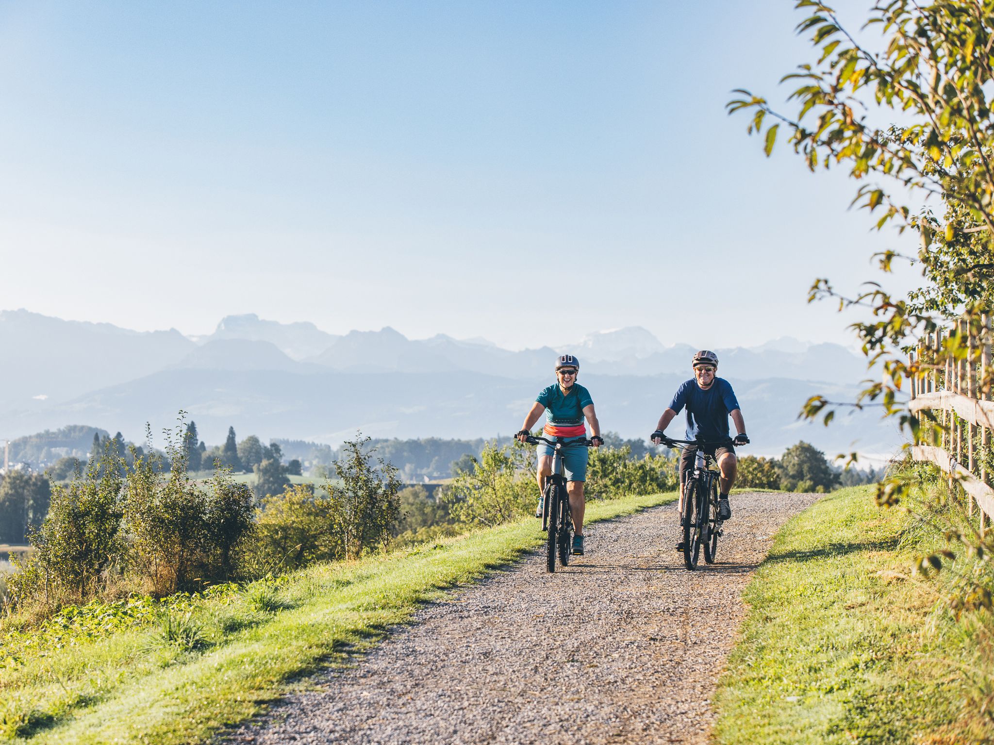
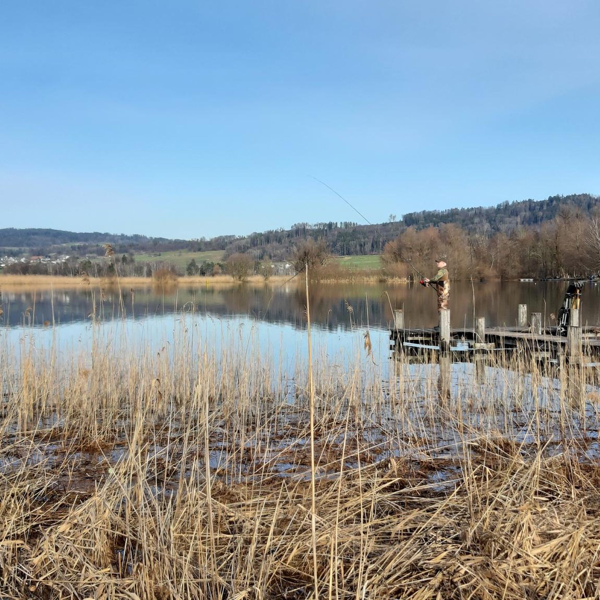
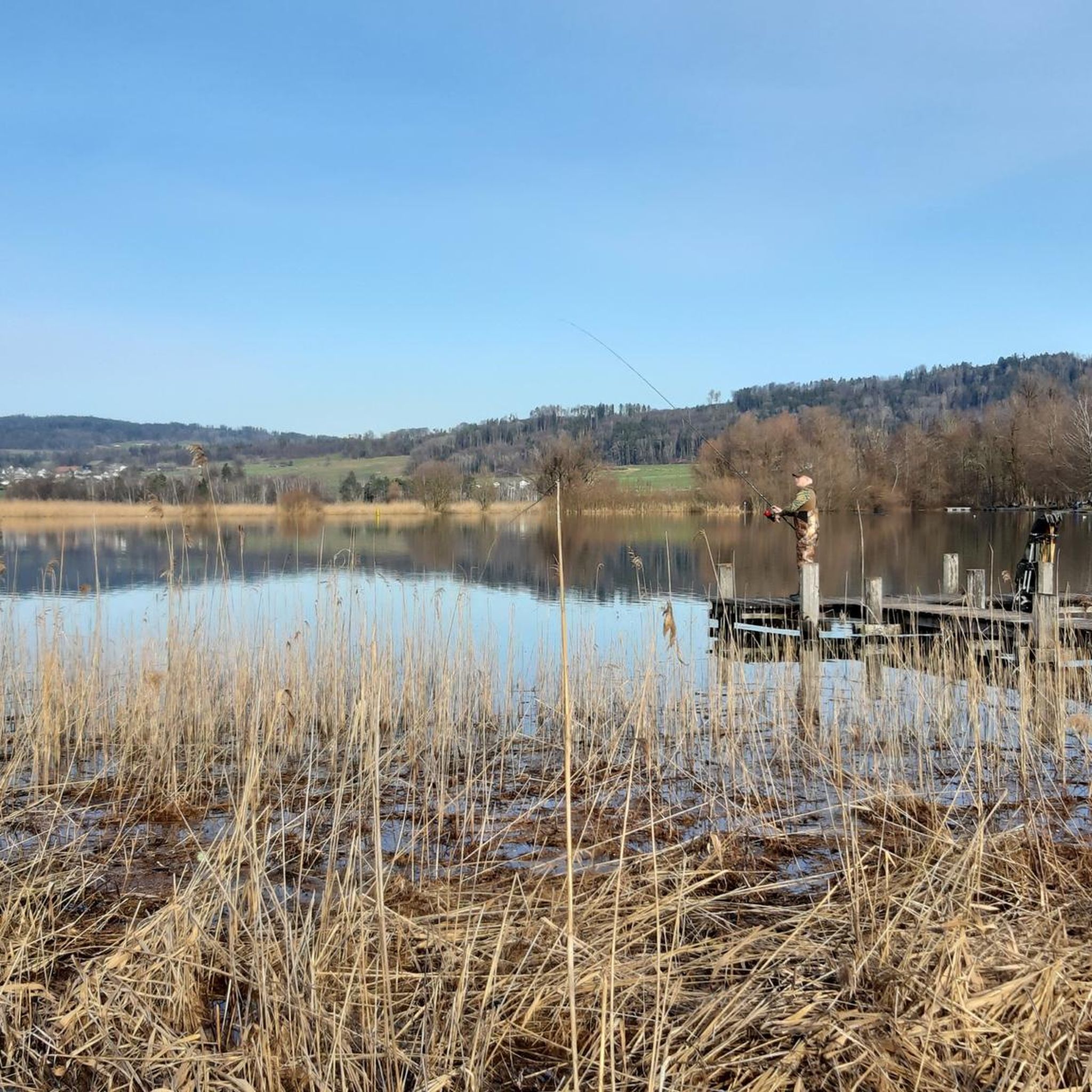
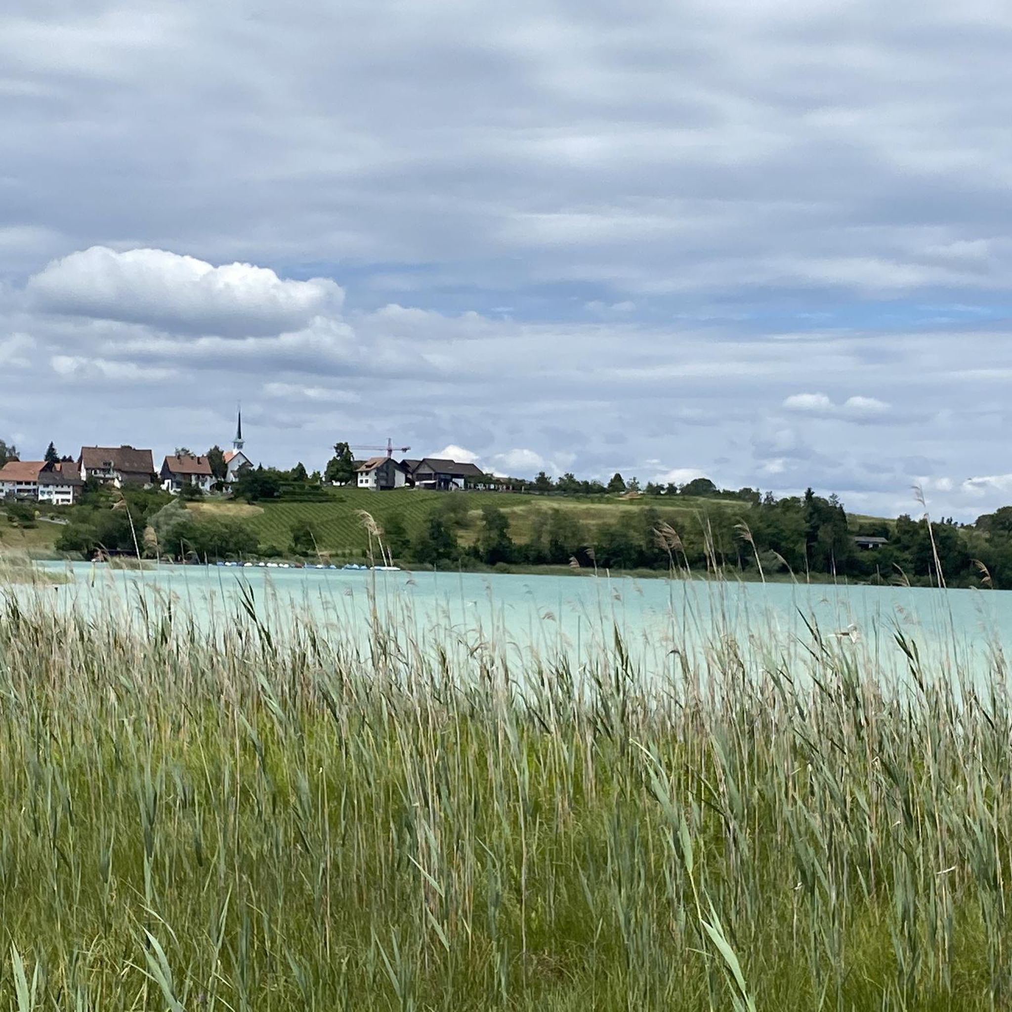
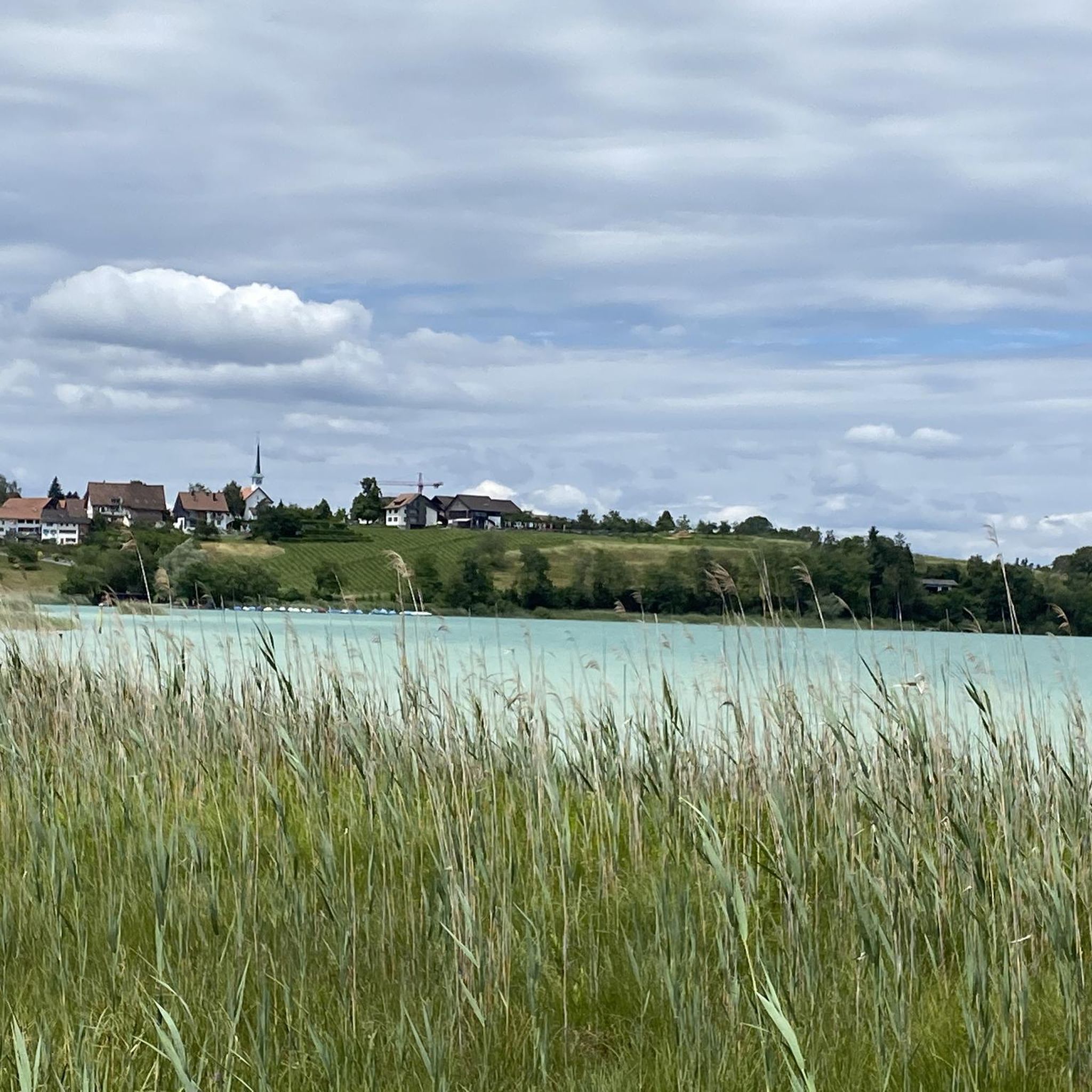
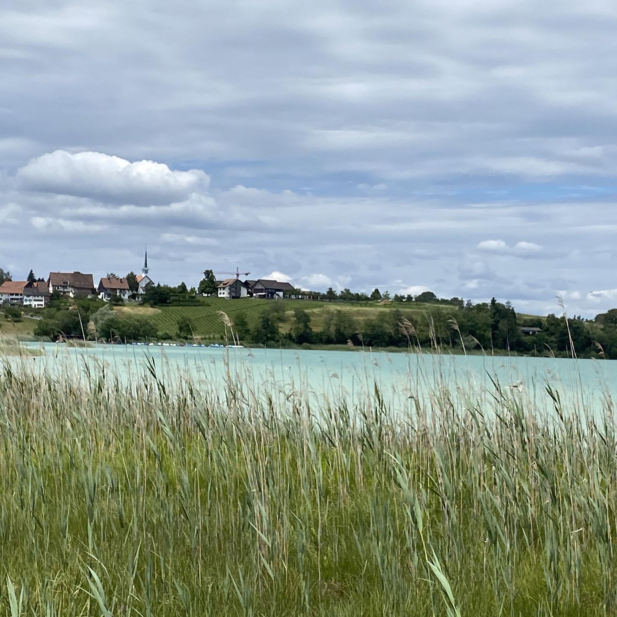
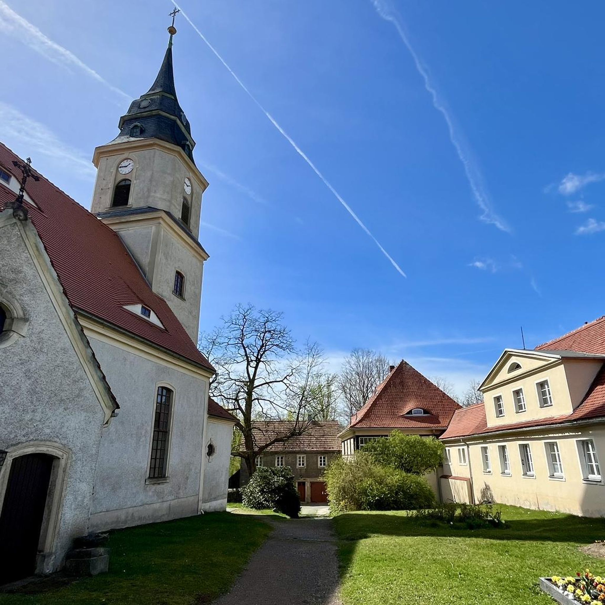
Other adventures around Wetzikon (ZH)

Tips from the Community

pretty here, very pretty
0
0
pretty here, very pretty
0
0
pretty here, very pretty
0
0
Frequently Asked Questions
What is the general character of mountaineering routes around Wetzikon (ZH)?
Mountaineering around Wetzikon (ZH) is characterized by rolling hills, dense woodlands, and elevated viewpoints within the Zurich Oberland. The routes offer a mix of moderate paths and more challenging ascents through varied pre-alpine terrain, often leading to panoramic views.
Are there any easy mountaineering routes suitable for beginners in Wetzikon (ZH)?
The routes listed for mountaineering around Wetzikon (ZH) are generally rated as moderate. While there aren't specific 'easy' routes, options like the Hörnli loop from Steg (7.0 km) or the Mountaineering loop from Schnebelhorn (7.0 km) are shorter and could be more manageable for those new to mountaineering, provided they have a basic level of fitness.
What kind of challenging mountaineering routes can I find in Wetzikon (ZH)?
While all listed routes are rated as moderate, some offer more significant elevation gain and distance, providing a good challenge. For instance, the Mountaineering loop from Steg covers 14.7 km with over 600 meters of ascent, making it a demanding moderate option.
Are there family-friendly mountaineering options in Wetzikon (ZH)?
For families, shorter moderate routes like the Hörnli loop from Steg (7.0 km) or the Mountaineering loop from Schnebelhorn (7.0 km) could be suitable, depending on the children's age and experience. These routes offer varied terrain and scenic views without being excessively long.
Can I bring my dog on mountaineering routes in Wetzikon (ZH)?
Many trails in the Wetzikon (ZH) region are dog-friendly, but it's always advisable to keep your dog on a leash, especially in forested areas, near livestock, or in nature reserves. Always carry water for your dog and be mindful of other hikers.
What are some notable natural attractions or landmarks I can see along these routes?
The region around Wetzikon (ZH) offers several natural attractions. You might encounter gorges like Bachtelspalt or Tobelbach Gorge, and beautiful waterfalls such as Sagenraintobel Waterfalls or Kemptnertobel Waterfall. Additionally, the area features picturesque lakes like Lake Greifensee, offering scenic views and points of interest like Greifensee Castle.
Are there any circular mountaineering routes available in Wetzikon (ZH)?
Yes, many of the mountaineering routes in Wetzikon (ZH) are designed as loops, allowing you to start and end at the same point. Examples include the Mountaineering loop from Steg, the Hörnli loop from Steg, and the Mountaineering loop from Schnebelhorn.
What is the typical duration for mountaineering routes in Wetzikon (ZH)?
The duration of mountaineering routes in Wetzikon (ZH) varies depending on the specific trail and your pace. For example, the Hörnli loop from Steg typically takes around 2 hours 36 minutes, while the longer Mountaineering loop from Steg can take approximately 4 hours 50 minutes.
What do other mountaineers enjoy most about the routes in Wetzikon (ZH)?
The mountaineering routes in Wetzikon (ZH) are highly rated by the komoot community, with an average score of 4.2 stars. Reviewers often praise the diverse landscape, the well-maintained trails, and the rewarding panoramic views from elevated points like the Hörnli peak.
Are there options for mountaineering routes accessible by public transport in Wetzikon (ZH)?
Many starting points for routes in the Zurich Oberland, including those around Wetzikon, are often accessible by public transport. For specific routes, it's recommended to check local bus or train schedules to the nearest villages like Steg or Bauma, which serve as common trailheads.
Are there any 'hidden gem' mountaineering trails in the Wetzikon (ZH) area?
While all routes offer unique experiences, the Hagheerenloch Cave – Höchstock Settlement loop from Bauma might be considered a less-trafficked option. It offers a moderate 9.9 km journey through varied terrain, including a notable cave, providing a sense of discovery.
What is the best time of year for mountaineering in Wetzikon (ZH)?
The best time for mountaineering in Wetzikon (ZH) is typically from spring through autumn (April to October), when the weather is milder and trails are clear of snow. Summer offers lush greenery, while autumn provides stunning foliage. Always check local weather conditions before heading out.
Most popular routes around Wetzikon (ZH)
Most popular attractions around Wetzikon (ZH)

Get inspired with the komoot mobile app


Explore more
Browse the best Mountain Hikes & Routes in other regions.
