The best mountain hikes around Langnau am Albis
5.0
(2)
22
hikers
4
hikes
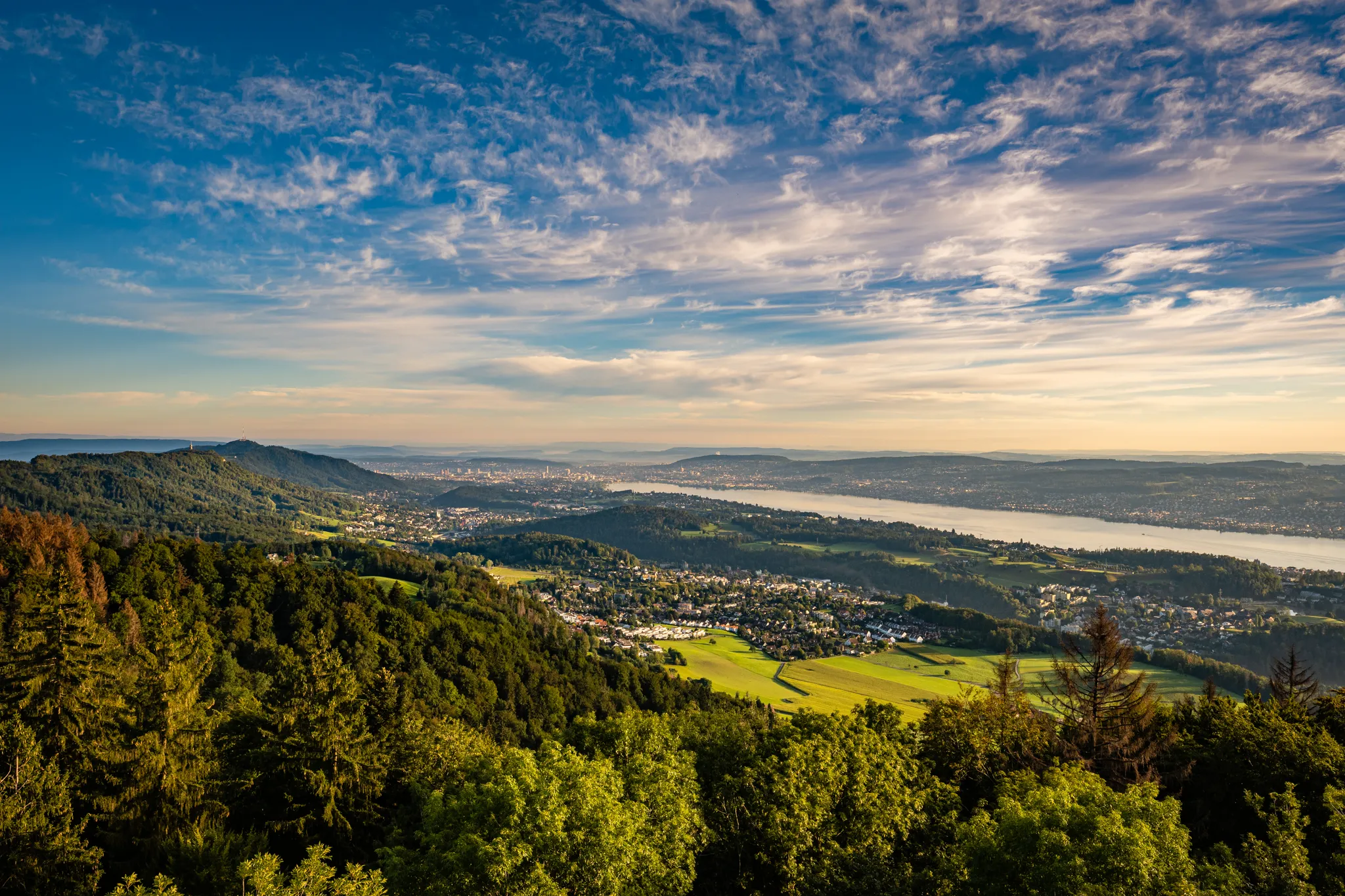
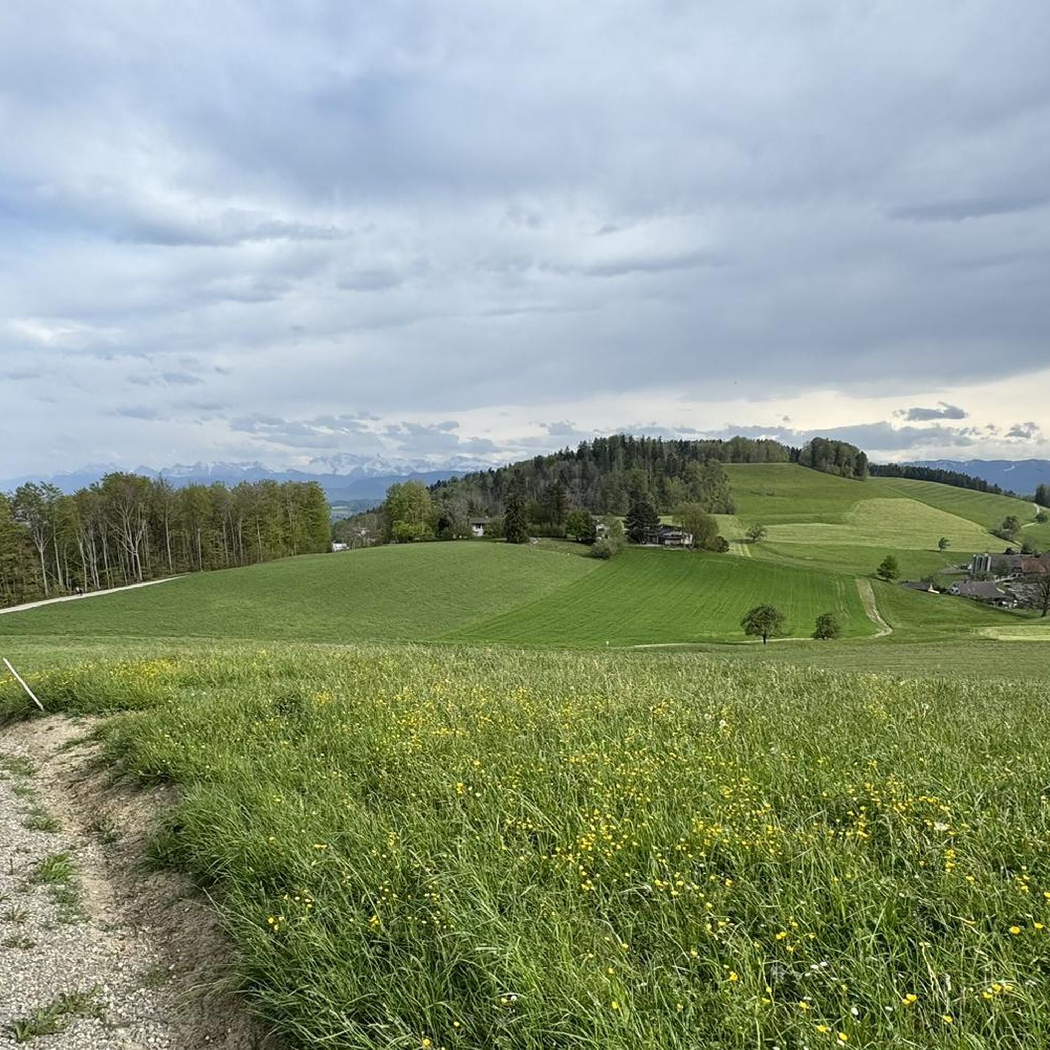
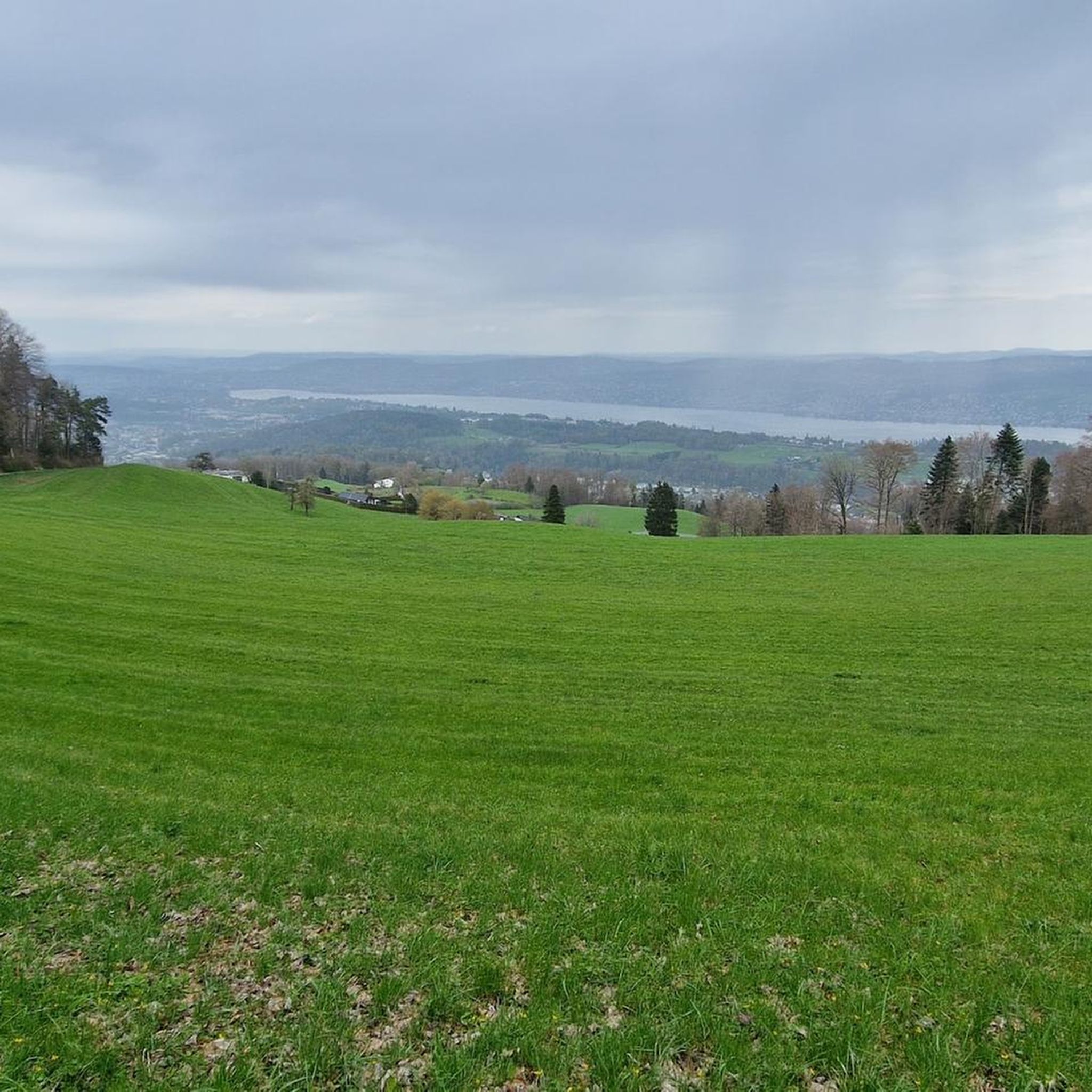
Mountaineering routes Langnau am Albis traverse a landscape characterized by forested hills, river valleys, and elevated viewpoints. The region, situated near Zurich, offers varied terrain suitable for moderate ascents. Prominent features include the Uetliberg hill, known for its panoramic views, and the extensive Sihlwald forest, which provides shaded paths along the Sihl River. These routes often involve steady climbs through woodlands, leading to open ridges and scenic overlooks.
Best mountaineering routes around Langnau am Albis
- The most popular mountaineering route…
Last updated: May 28, 2026
5.0
(1)
13
hikers
5.94km
02:02
330m
330m
Moderate mountaineering route. Good fitness required. Easily-accessible paths. Suitable for all skill levels.
5.0
(1)
4
hikers
Moderate mountaineering route. Good fitness required. Mostly accessible paths. Sure-footedness required.

Sign up for free
3
hikers
Moderate mountaineering route. Good fitness required. Easily-accessible paths. Suitable for all skill levels.
1
hikers
6.29km
02:12
340m
340m
Moderate mountaineering route. Good fitness required. Mostly accessible paths. Sure-footedness required.
1
hikers
4.50km
01:27
190m
190m
Easy mountaineering route. Great for any fitness level. Easily-accessible paths. Suitable for all skill levels.
Our route recommendations are based on thousands of hikes, rides, and runs completed by other people on komoot.
Start today with a free account
Your next adventure awaits.
Login or Signup
Popular around Langnau am Albis
Other adventures around Langnau am Albis

Tips from the Community

There are two pre-installed BBQ spots with grill fire pits, some tables and a fresh water fountain next to the playground.
0
0

Wonderful place for a break
0
0
Attention: Cycle route 94 is closed here due to construction work from 27.04.2026 - 02.11.2026 (at least partial sections) and is diverted from Sihlwald station to Alter Bahnhof Sihlbrugg via Sihltalstrasse (signposted on site). See Schweiz Mobil info.
0
0

Looks more like a cemetery. But there used to be tables and benches.
0
0


Interesting perspective on 3 bridges from 3 different eras.
1
0

Beautiful ride along the Sihl, quiet
0
1
Frequently Asked Questions
What is the general difficulty level of mountaineering routes around Langnau am Albis?
The mountaineering routes in the Langnau am Albis area are generally considered moderate. They often involve steady climbs through forested areas, leading to open ridges and scenic overlooks. While most routes are moderate, you can find some easier options, such as the Höllgrotten Caves – Lorze Viaducts loop from Höllgrotten, which offers a gentler ascent.
Are there any circular mountaineering routes in Langnau am Albis?
Yes, many of the mountaineering routes around Langnau am Albis are circular, allowing you to start and end at the same point. Examples include the popular Uetliberg Viewing Terrace – Uetliberg loop from Zürich Triemli and the Uetliberg Transmission Tower – Uetliberg Summit Viewpoint loop from Wiedikon. For a longer circular option, consider the Sihlwald Bürglen Descent – Sihl River Path in the Sihlwald loop from Sihlwald.
What are some notable viewpoints along the mountaineering trails in Langnau am Albis?
The region is known for its elevated viewpoints. The Uetliberg hill is a prominent feature, offering panoramic views from the Uetliberg Summit Viewpoint and the Uetliberg Observation Tower. You can also find scenic spots like the Loorenkopf Tower, which provides excellent vistas of the surrounding landscape.
Can I reach the mountaineering routes in Langnau am Albis using public transport?
Langnau am Albis is well-connected by public transport, making many trailheads accessible without a car. For instance, routes like the Uetliberg Viewing Terrace – Uetliberg loop from Zürich Triemli often start near train or tram stations, allowing for convenient access from Zurich and surrounding areas.
Are there any dog-friendly mountaineering routes in the Langnau am Albis area?
Many of the trails in the Langnau am Albis region, particularly those through the extensive Sihlwald forest and along the Sihl River, are suitable for dogs. It's always recommended to keep dogs on a leash, especially in nature protection areas or near wildlife. The Sihlwald Bürglen Descent – Sihl River Path in the Sihlwald loop from Sihlwald is a great option for a longer walk with your canine companion.
What is the best season for mountaineering around Langnau am Albis?
The Langnau am Albis region offers enjoyable mountaineering experiences across multiple seasons. Spring and autumn provide pleasant temperatures and vibrant scenery, with autumn foliage being particularly beautiful. Summer is also popular, though some routes might be warmer. Winter mountaineering is possible, but requires appropriate gear and checking trail conditions, as some paths may be icy or snowy.
What kind of natural features can I expect to see on these routes?
The routes around Langnau am Albis traverse a diverse landscape. You'll encounter extensive forested hills, particularly within the Sihlwald, and paths that follow the Sihl River. The region is also characterized by elevated viewpoints offering panoramic vistas. You might also pass by natural attractions such as Lake Türler, which is a beautiful spot for a break.
Are there any historical sites or landmarks to explore along the trails?
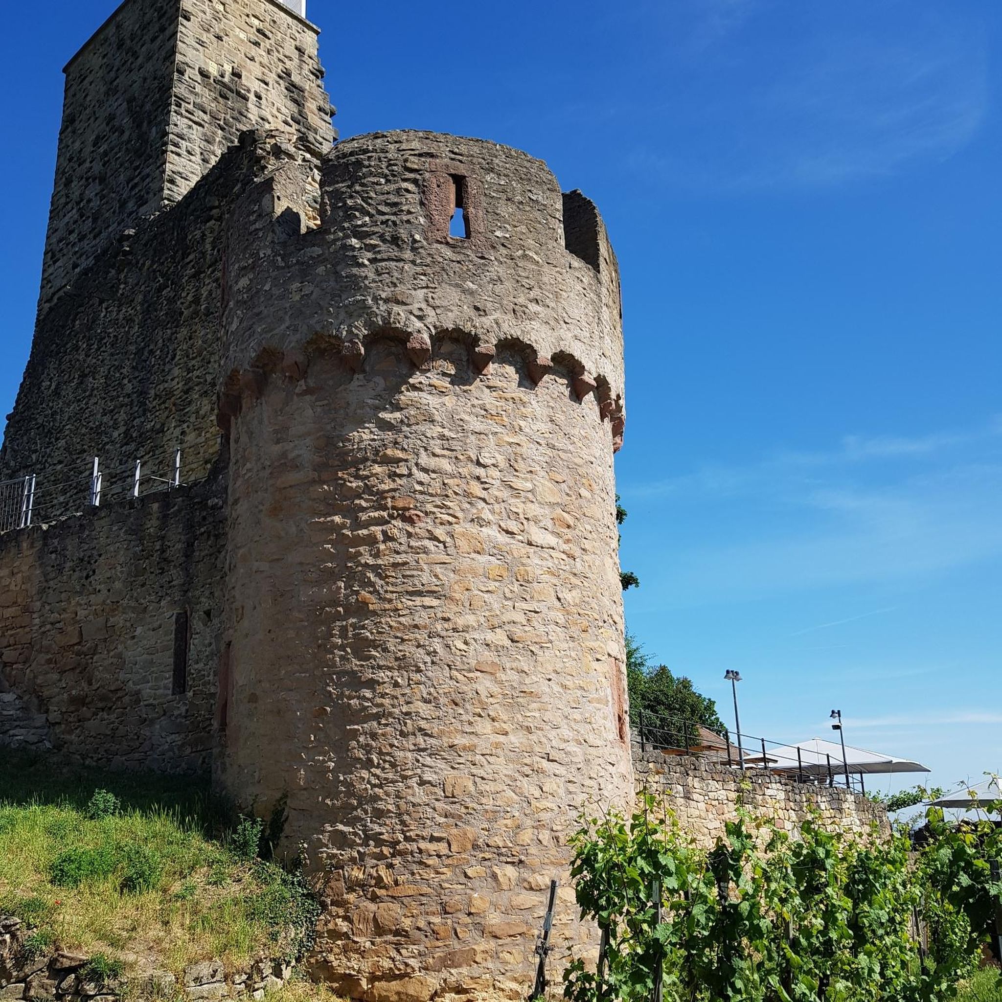
Yes, the area offers a mix of natural beauty and historical interest. For example, the Ruine Manegg loop from Adliswil takes you past the ruins of Manegg Castle, providing a glimpse into the region's past. Additionally, the Höllgrotten Caves – Lorze Viaducts loop from Höllgrotten explores unique cave formations.
What do other mountaineers enjoy most about the routes in Langnau am Albis?
The mountaineering routes in Langnau am Albis are highly rated by the komoot community, with an average score of 5.0 stars. Reviewers often praise the well-maintained paths, the diverse scenery ranging from dense forests to open viewpoints, and the accessibility of these trails from urban areas. The sense of tranquility found so close to Zurich is also frequently highlighted.
Are there any places to eat or get refreshments near the mountaineering routes?
Yes, you'll find various options for refreshments. Many routes, especially those leading to Uetliberg, have restaurants or cafes at the summit or nearby, such as the Uto Kulm Restaurant. In villages like Langnau am Albis or along the Sihl River, there are also local eateries where you can refuel after your hike.
What should I wear for mountaineering in Langnau am Albis during autumn?
For autumn mountaineering in Langnau am Albis, layering is key. Temperatures can vary, so wear moisture-wicking base layers, an insulating mid-layer (fleece or light down), and a waterproof and windproof outer shell. Sturdy hiking boots with good ankle support are essential, and consider bringing a hat, gloves, and a backpack with water, snacks, and a map or GPS device.
Are there any longer, more challenging mountaineering trails for experienced hikers?
While most routes are moderate, you can combine trails or choose longer loops to increase the challenge. The Sihlwald Bürglen Descent – Sihl River Path in the Sihlwald loop from Sihlwald, at 13.2 km with over 450 meters of elevation gain, offers a more extended and physically demanding experience through varied terrain, including the highest point of the Albis chain, Bürglenstutz.
Most popular routes around Langnau am Albis
Most popular attractions around Langnau am Albis

Get inspired with the komoot mobile app


Explore more
Browse the best Mountain Hikes & Routes in other regions.
