The best mountain hikes around Hittnau
4.8
(5)
23
hikers
4
hikes
Mountaineering routes around Hittnau offer diverse terrain within the Zurich Oberland region of Switzerland. The area is characterized by rolling hills, forested slopes, and scenic viewpoints, providing a varied landscape for outdoor activities. Elevations are generally moderate, making it accessible for different skill levels. The trails often traverse through woodlands and open pastures, with occasional ascents to local peaks.
Best mountaineering routes around Hittnau
- The most popular mountaineering route is Mountaineering loop from Steg, a 9.1 miles (14.7 km)…
Last updated: October 11, 2026
4.5
(2)
11
hikers
7.00km
02:37
410m
410m
Moderate mountaineering route. Good fitness required. Mostly accessible paths. Sure-footedness required.
3
hikers
7.01km
02:22
330m
330m
Moderate mountaineering route. Good fitness required. Mostly accessible paths. Sure-footedness required.

5.0
(2)
4
hikers
15.0km
04:43
500m
500m
Moderate mountaineering route. Good fitness required. Mostly accessible paths. Sure-footedness required.
2
hikers
9.93km
03:00
320m
320m
Moderate mountaineering route. Good fitness required. Easily-accessible paths. Suitable for all skill levels.
5.0
(1)
3
hikers
22.5km
07:18
930m
930m
Hard mountaineering route. Very good fitness required. Mostly accessible paths. Sure-footedness required.
Our route recommendations are based on thousands of hikes, rides, and runs completed by other people on komoot.
Start today with a free account
Your next adventure awaits.
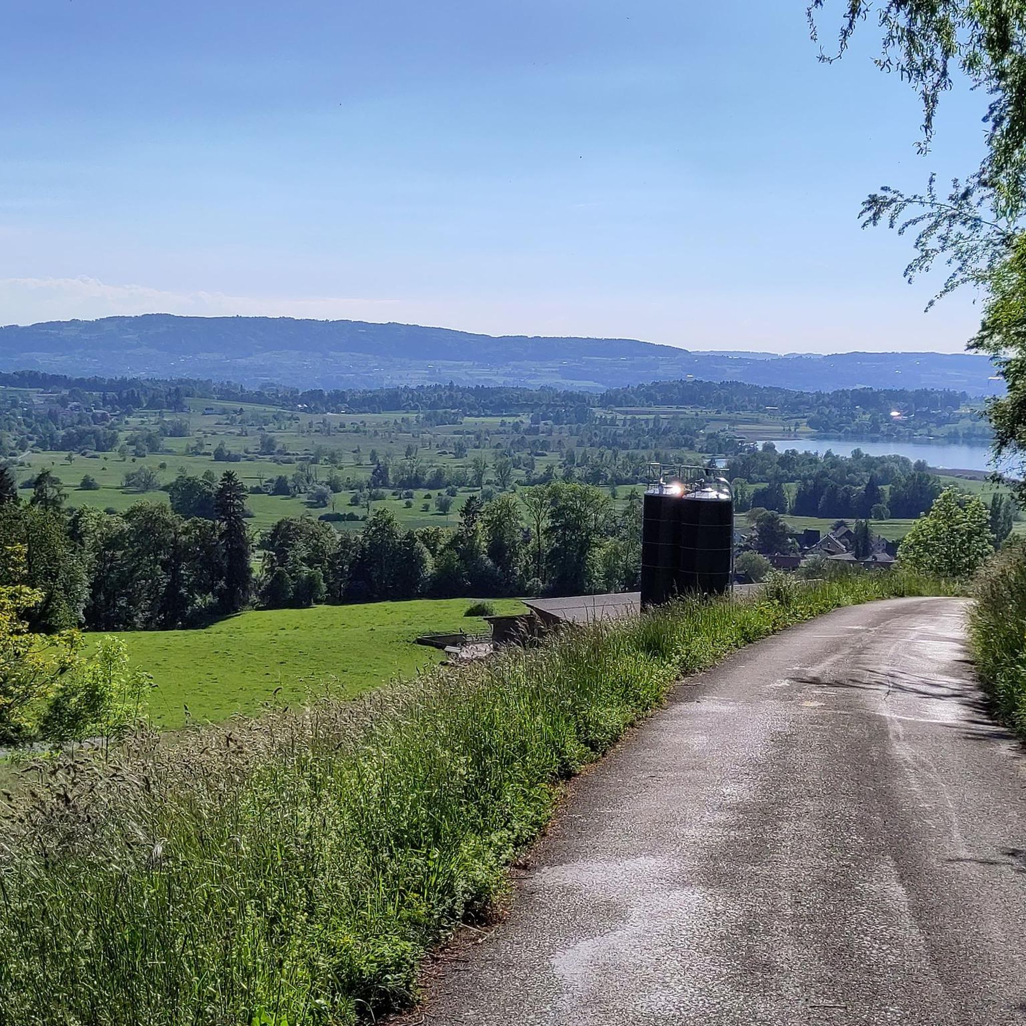
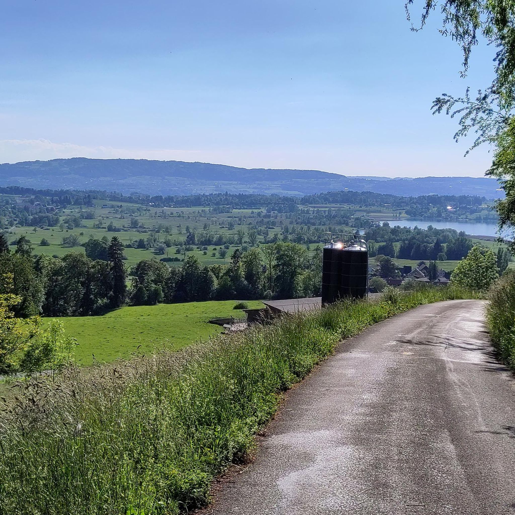
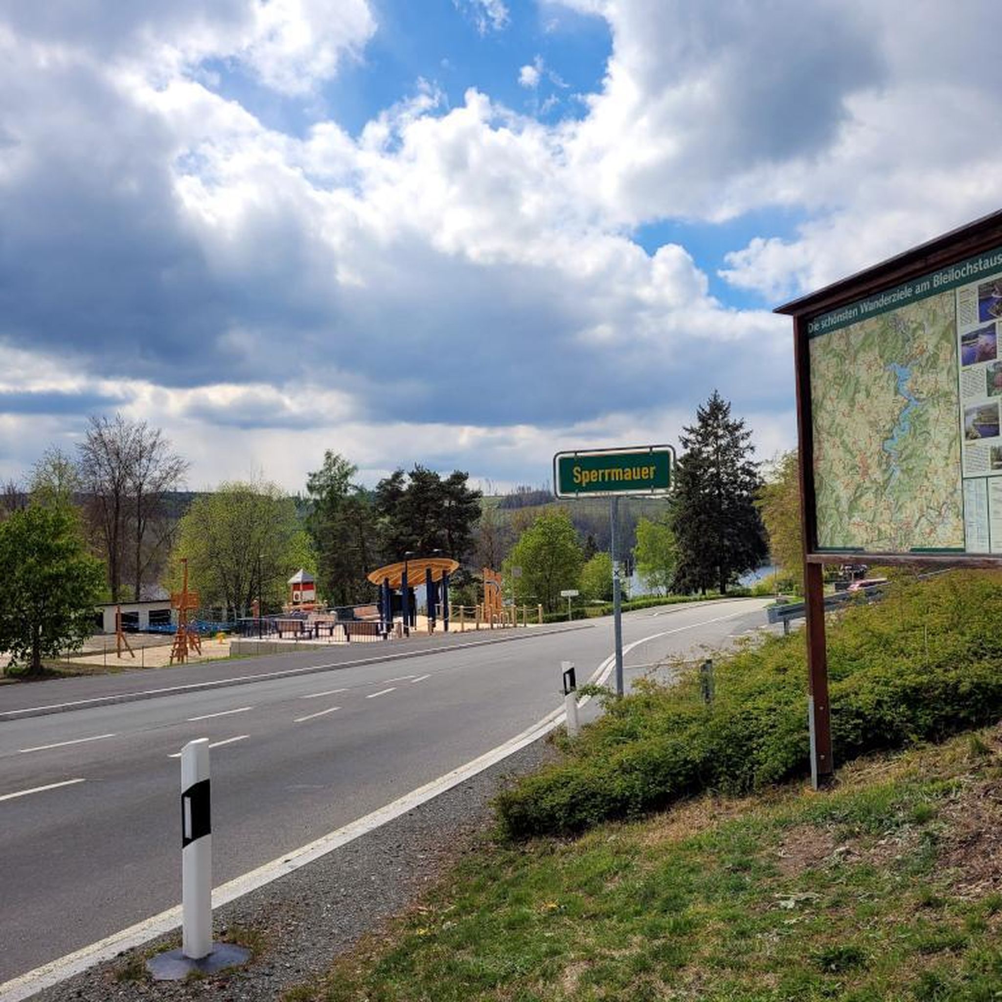
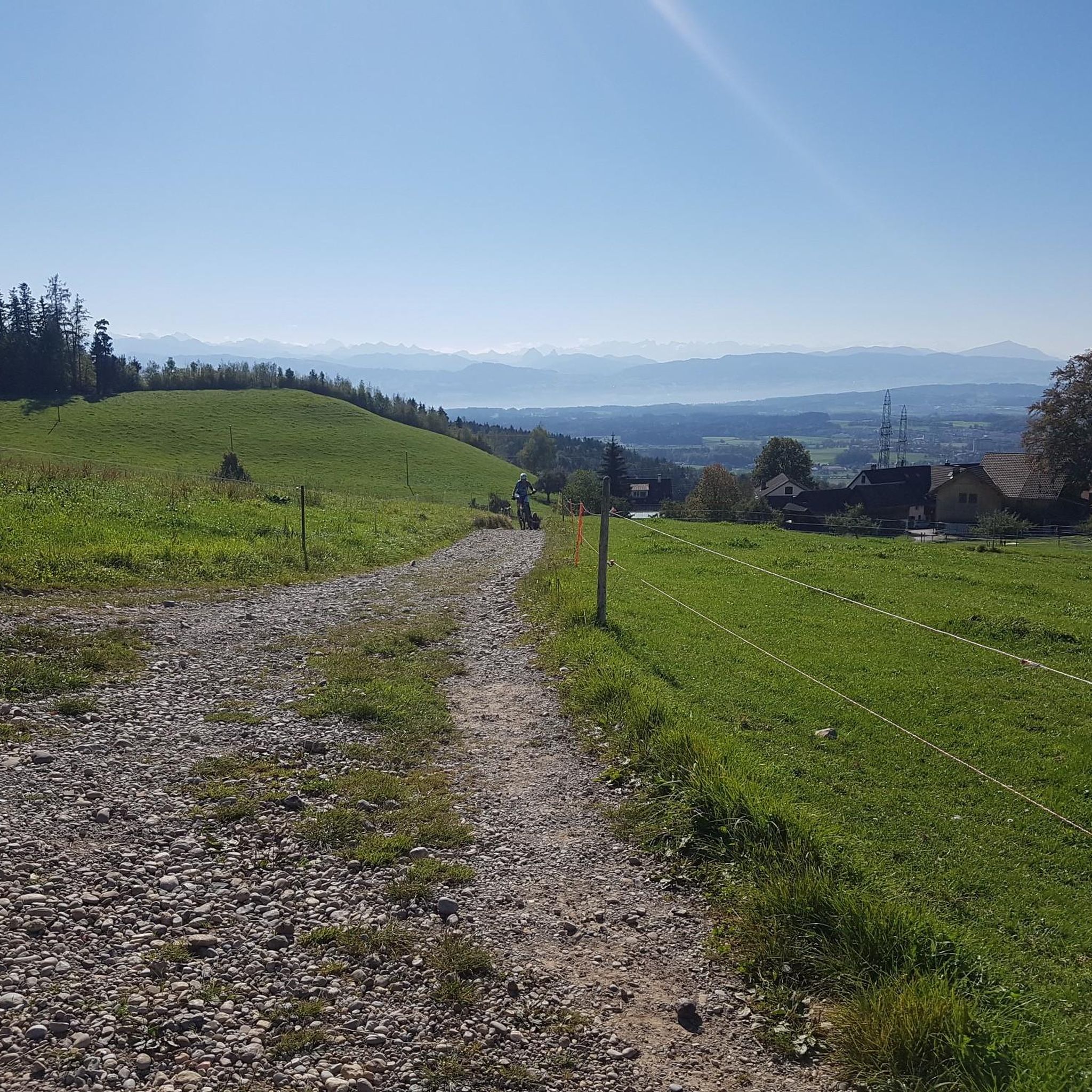
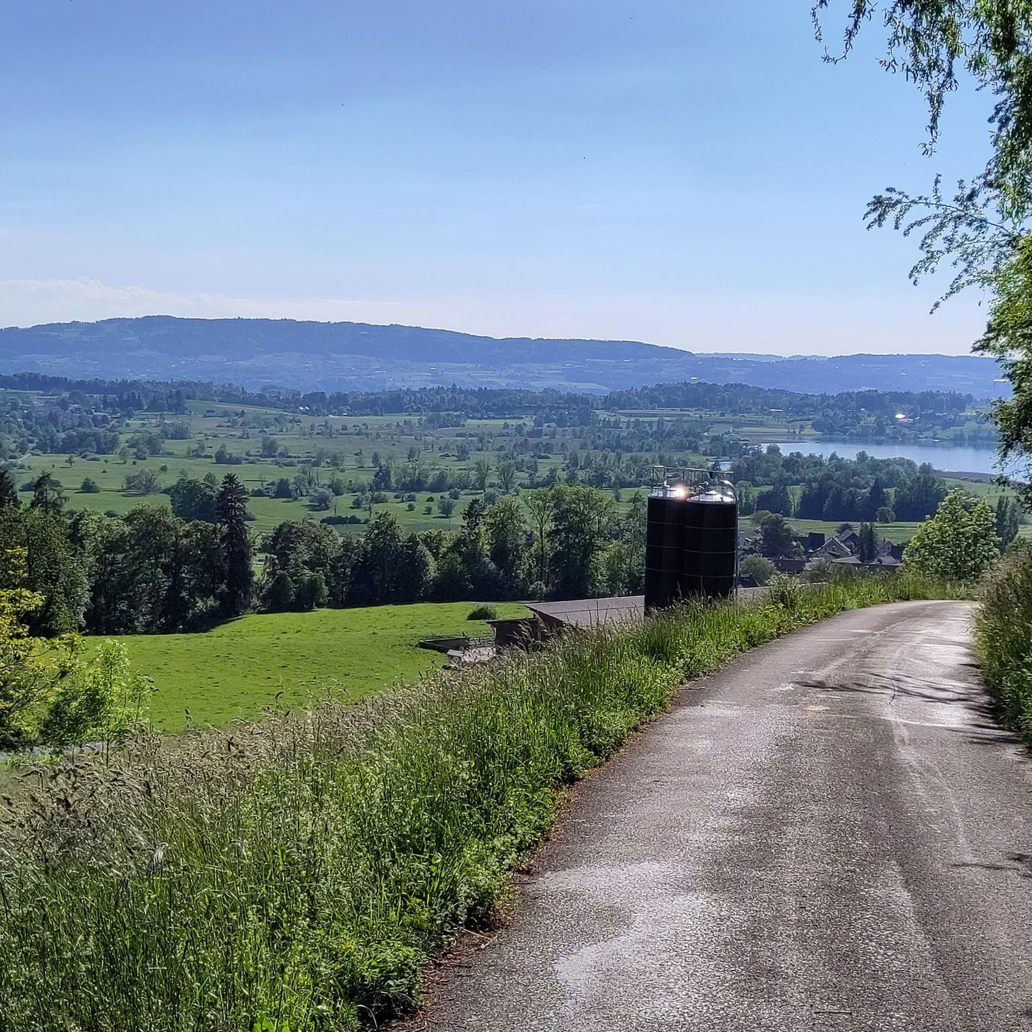
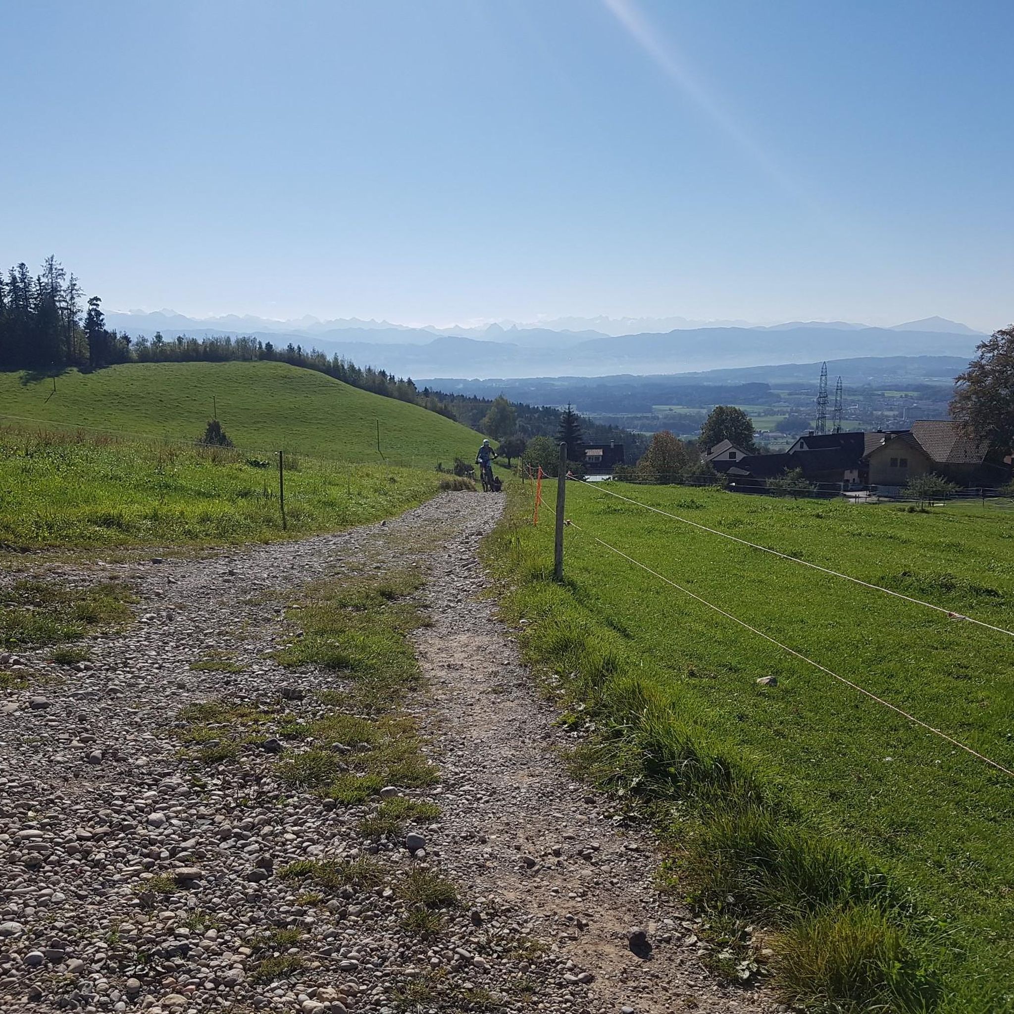
Tips from the Community

The alpine hut was closed in the meantime (farmer / owner) - I don't know if it is now open again as a restaurant.
0
0
First/last opportunity before/after the Schnebelhorn for a refreshment or strengthening.
0
0

Mountain restaurant with wonderful views
1
0

The descent from Hörnli to Steg (ZH) is rewarded with views of the Fischenthal, the Glarus and Eastern Swiss Alps.
1
0
Beautiful view and refreshment in the restaurant at the same time. But the view from the nearby Schnebelhorn is even more beautiful.
0
0

Wonderful views, good food, many opportunities, paths and trails for bikers and hikers
0
1

Built in 1859 by the Centralbahn architect Ludwig Mahring. 1. Basel location, 2. Olten location, 3. Bauma location. Link: https://dvzo.ch/entdecken/historical-bahnhofshalle/
0
0

This beautiful, moderately difficult mountain hike starts at the Steg (ZH) train station parking lot (charges apply). The parking fee can only be paid via the SBB P+Rail app or if you have an SBB parking card. The so-called 'Top of Zurich' hike to the highest mountain in the canton of Zurich, the so-called Schnebelhorn with its 1292 meters, is probably the most popular hiking destination in the Tösstal. Beautiful mountain hiking trails lead from everywhere to the panoramic peak, which lies on the border of the cantons of Zurich and St. Gallen and is part of a five-kilometer-long mountain range that has its highest point in the south, the Tweralpspitz (1,332 m). The weather was on my side today, unlike yesterday's hike. This mountain hike is simply sensational, I can recommend it to everyone. In the lower area the paths are already normal hiking trails, and if you hike towards Tössscheidi, you follow the stream and repeatedly discover beautiful waterfalls, not big, but still very beautiful. In the upper area there are various barbecue areas where you can definitely take a break. When you arrive at the summit cross, you can still sign in the logbook. Sure-footedness is essential, as is good fitness. I would recommend hiking poles for those who feel confident. Highlights I felt: - Pure nature - Fantastic view of the Alps - Always beautiful waterfalls FYI: Moderately difficult mountain hike Difficulty level: T2 (mountain hiking) You can find more information about me at www.chrisontour.ch
0
0
Frequently Asked Questions
What is the general difficulty level of mountaineering routes around Hittnau?
The mountaineering routes around Hittnau are predominantly rated as moderate, making them accessible for a range of skill levels. While there are no routes explicitly classified as 'easy' in this selection, the moderate trails offer a good balance of challenge and enjoyment. For instance, the Hörnli loop from Steg is a moderate 4.3-mile (7.0 km) route that can be completed in about 2 hours 37 minutes, offering a less strenuous option among the moderate trails.
Are there any circular mountaineering routes in the Hittnau area?
Yes, many of the mountaineering routes around Hittnau are designed as circular loops, allowing you to start and finish at the same point. A popular option is the Mountaineering loop from Steg, which is 9.1 miles (14.7 km) long and offers a comprehensive exploration of the local mountain landscape.
What kind of scenery can I expect on these mountaineering routes?
The routes around Hittnau are characterized by diverse scenery, including rolling hills, dense forested slopes, and open pastures. You'll often find panoramic viewpoints along the way, offering expansive vistas of the Zurich Oberland region. The trails frequently traverse through woodlands and open areas, with occasional ascents to local peaks.
Are there any specific landmarks or scenic viewpoints along the mountaineering trails?
Yes, the region offers several notable landmarks and viewpoints. You might encounter the Hörnli Summit, which provides excellent views, or the Bachtel Tower, another prominent viewpoint in the area. Some routes also pass by historical sites like the Historic Station Hall Bauma.
What do other mountaineers say about the routes in Hittnau?
The mountaineering routes in Hittnau are highly regarded by the komoot community, with an average rating of 4.2 stars from over 4 reviews. Many mountaineers appreciate the varied terrain, which includes forested hills and open pastures, and the well-maintained network of trails suitable for different ability levels.
Can I reach the mountaineering trailheads using public transport?
While specific public transport details for each trailhead are best found on the individual route pages, many starting points in Switzerland are generally accessible by public transport. For routes starting from towns like Steg or Bauma, local bus or train services often provide connections. We recommend checking local transport schedules for the most up-to-date information to plan your journey.
Are there any longer or more challenging mountaineering options available?
For those seeking a longer and potentially more challenging experience, the Ascent to Chlihörnli – Hörnli Summit loop from Bauma is a popular choice. This moderate 9.3-mile (14.9 km) path includes significant elevation gain, leading to rewarding summit views and a more extensive exploration of the mountain landscape.
What is the best time of year for mountaineering near Hittnau?
The best time for mountaineering in the Zurich Oberland region, including Hittnau, is typically from late spring through early autumn (May to October). During these months, the weather is generally more stable, trails are clear of snow, and the temperatures are pleasant for outdoor activities. Always check local weather forecasts before heading out.
Are there any less crowded alternatives for mountaineering in the area?
While the main routes are popular, you can often find quieter sections or less frequented trails by exploring the broader network. The Mountaineering loop from Schnebelhorn, for example, offers a moderate 4.4-mile (7.0 km) experience through varied terrain, which might provide a more tranquil outing depending on the day.
Are there any routes that pass by interesting natural features like caves?
Yes, if you're interested in natural features, consider the Hagheerenloch Cave – Höchstock Settlement loop from Bauma. This moderate 6.1-mile (9.9 km) route offers the chance to explore the area around the Hagheerenloch Cave, adding an element of natural wonder to your mountaineering trip.
What should I wear for mountaineering in Hittnau?
Given the varied terrain and potential for changing weather in mountain regions, it's advisable to wear layers of clothing. Sturdy hiking boots with good ankle support are essential. Depending on the season, bring waterproof outerwear, a hat, gloves, and sun protection. Always check the weather forecast before your trip to dress appropriately.
Most popular routes around Hittnau
Most popular attractions around Hittnau

Get inspired with the komoot mobile app


Explore more
Browse the best Mountain Hikes & Routes in other regions.
