The best mountain hikes around Erlenbach (ZH)
5.0
(1)
8
hikers
2
hikes
Mountaineering routes Erlenbach (ZH) are characterized by diverse terrain, ranging from picturesque gorges to scenic paths along Lake Zurich. The region offers mountain hiking experiences with elevations up to around 700 meters, providing views of the surrounding landscape and distant peaks. While not a hub for technical climbing, the area features trails that require good fitness and sure-footedness, traversing woodlands and open areas. These routes often lead through natural features like the Erlenbach and Küsnacht Gorges, showcasing waterfalls and unique…
Last updated: May 11, 2026
5.0
(1)
4
hikers
Moderate mountaineering route. Good fitness required. Mostly accessible paths. Sure-footedness required.
3
hikers
Moderate mountaineering route. Good fitness required. Easily-accessible paths. Suitable for all skill levels.

Sign up for free
1
hikers
6.29km
02:12
340m
340m
Moderate mountaineering route. Good fitness required. Mostly accessible paths. Sure-footedness required.
Our route recommendations are based on thousands of hikes, rides, and runs completed by other people on komoot.
Start today with a free account
Your next adventure awaits.
Login or Signup
Popular around Erlenbach (ZH)
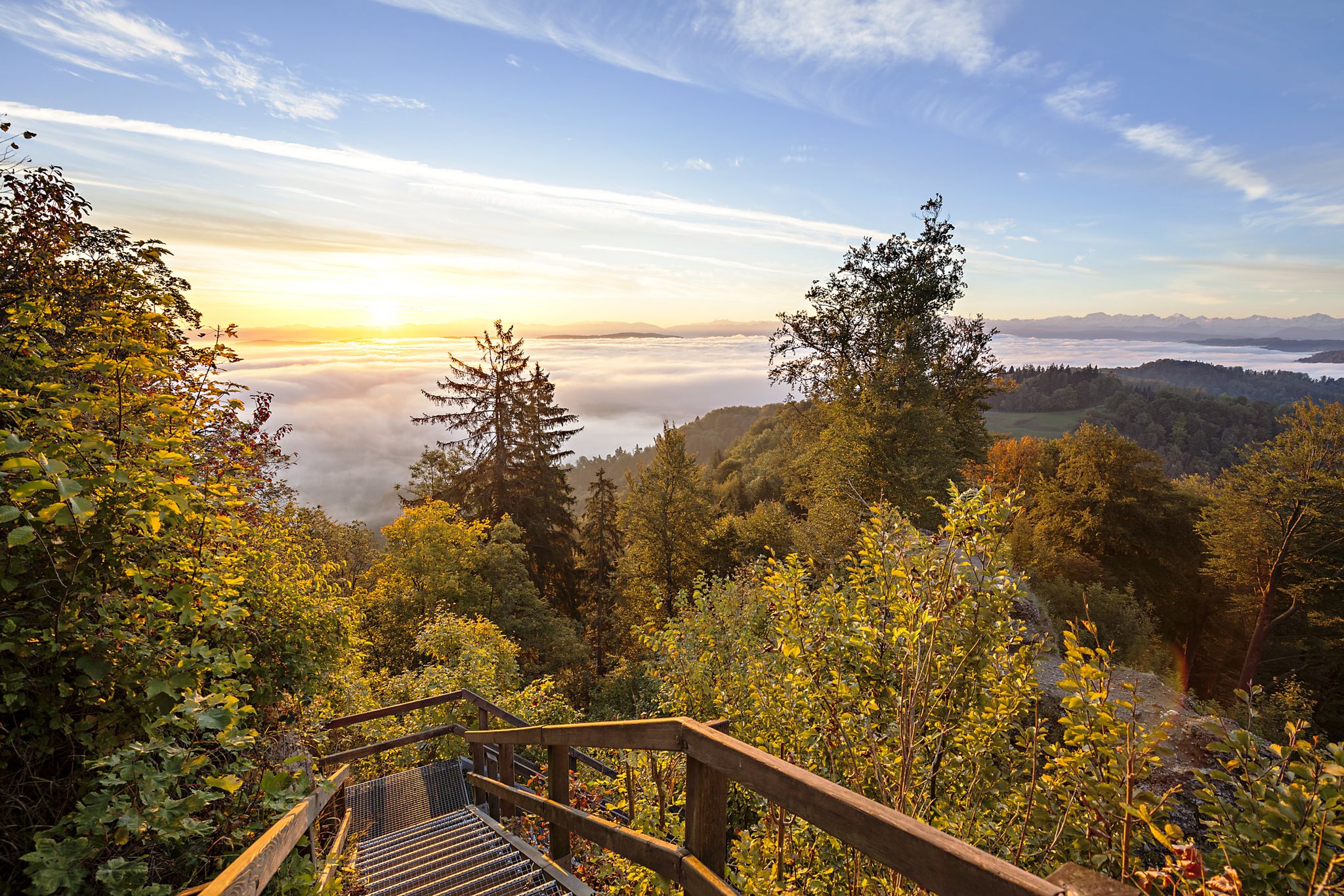
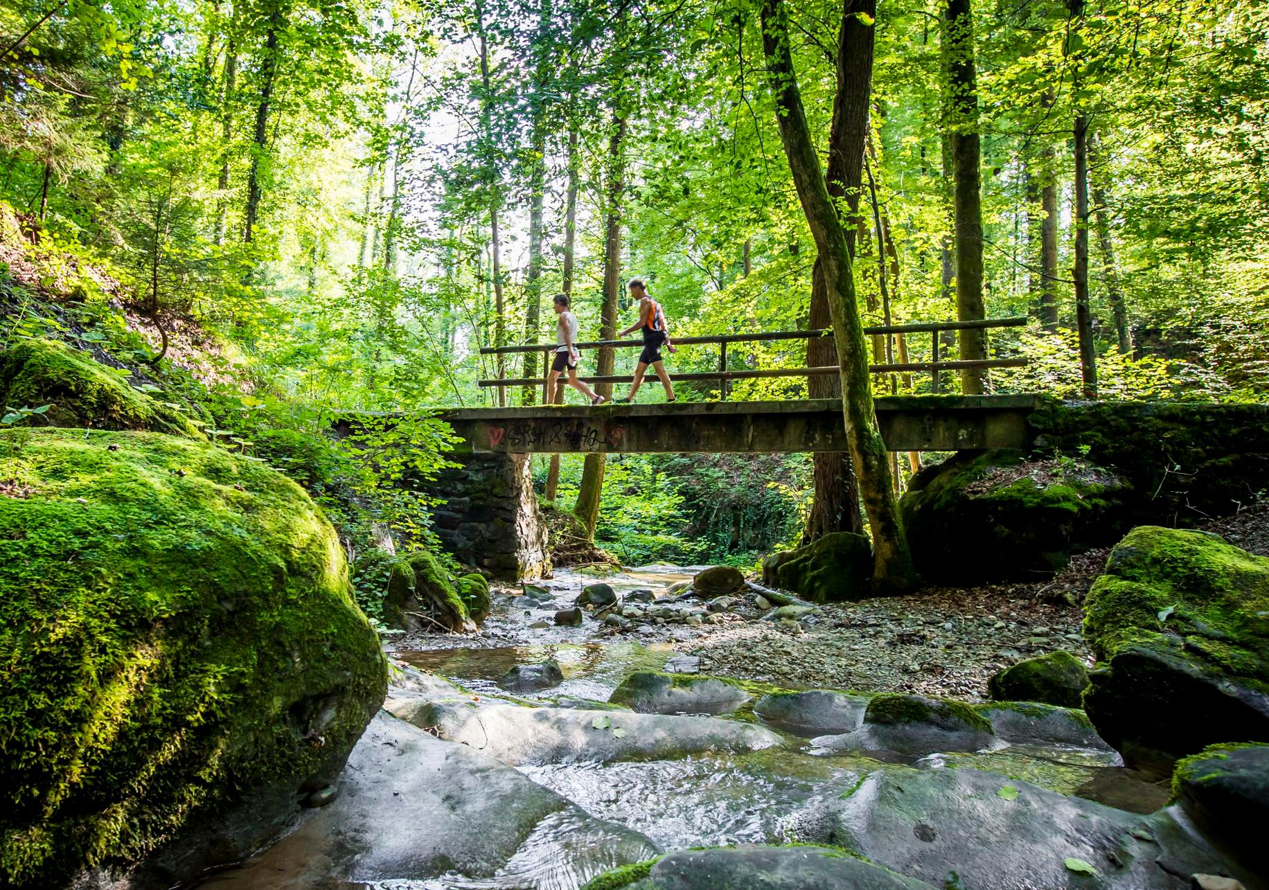
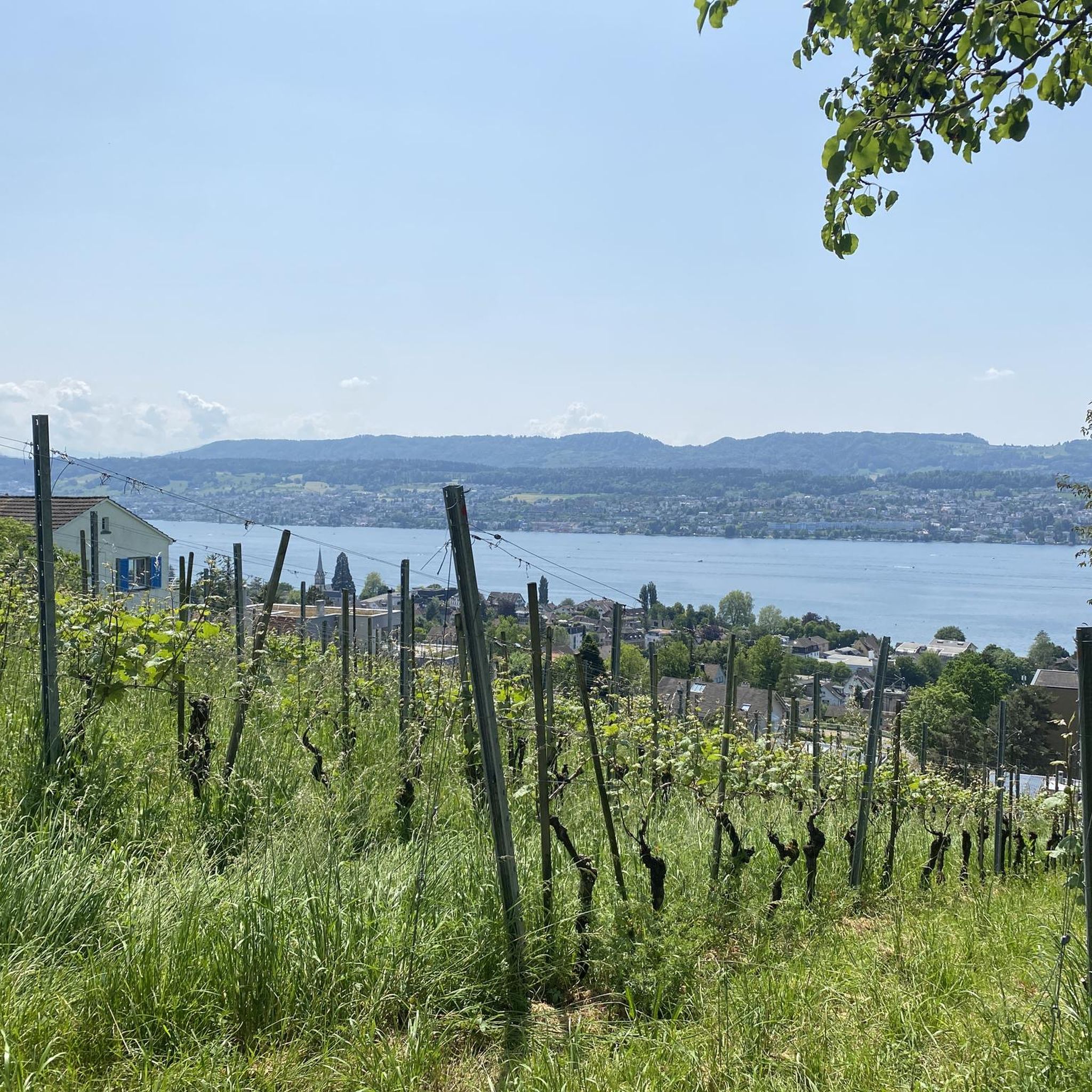
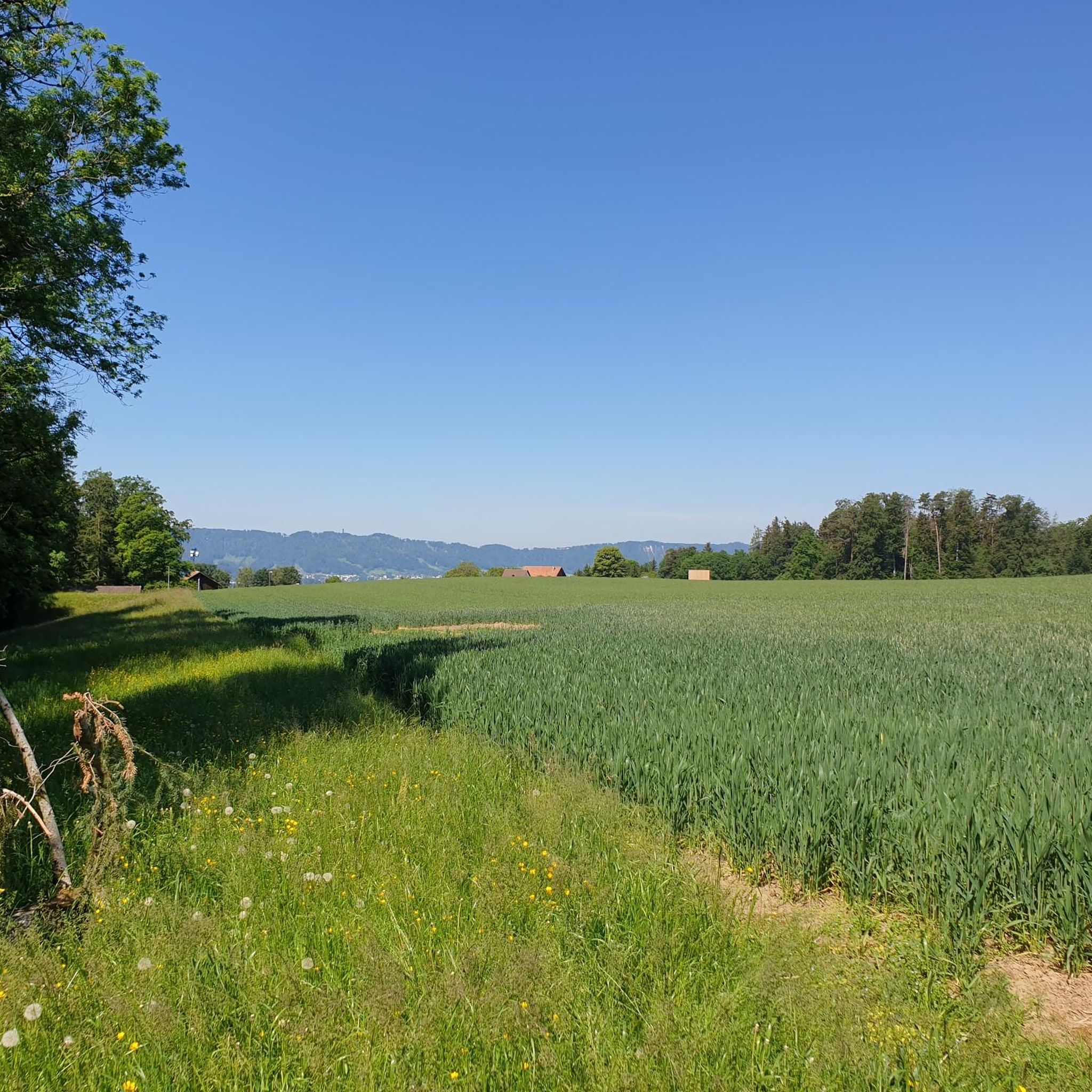
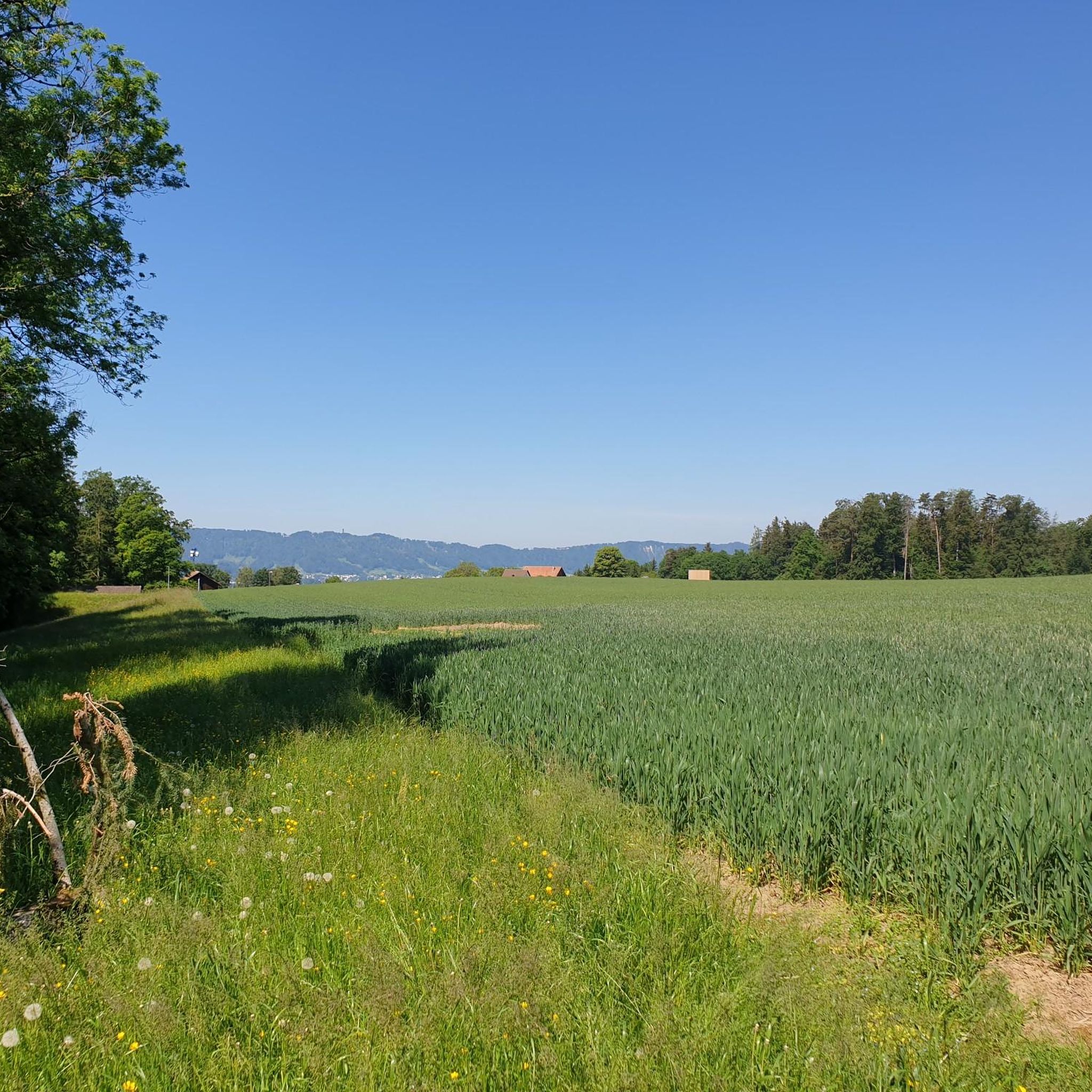
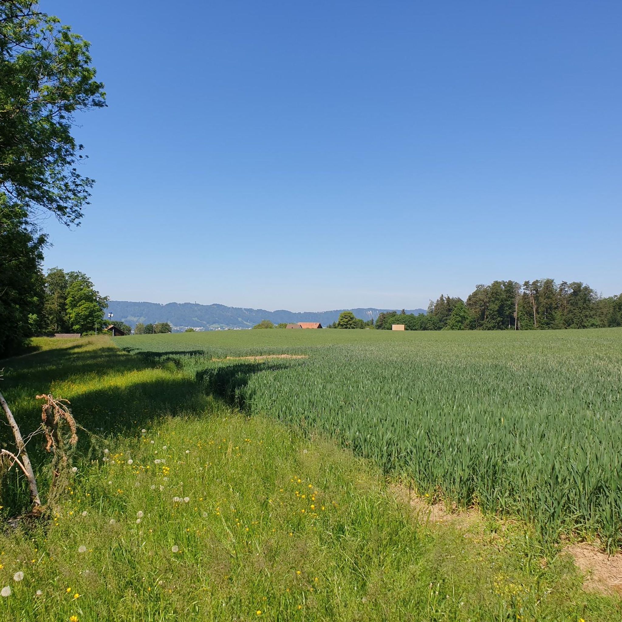
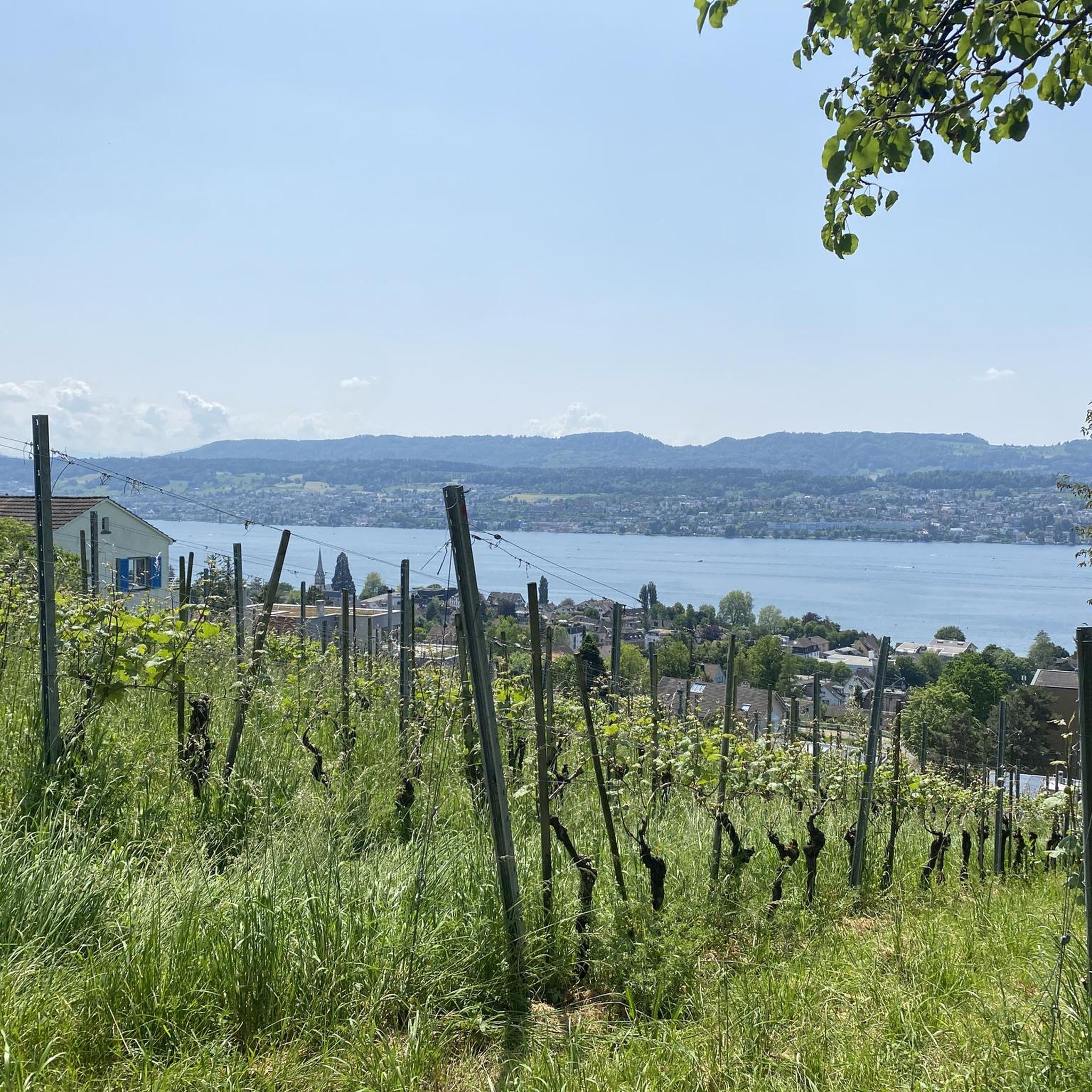
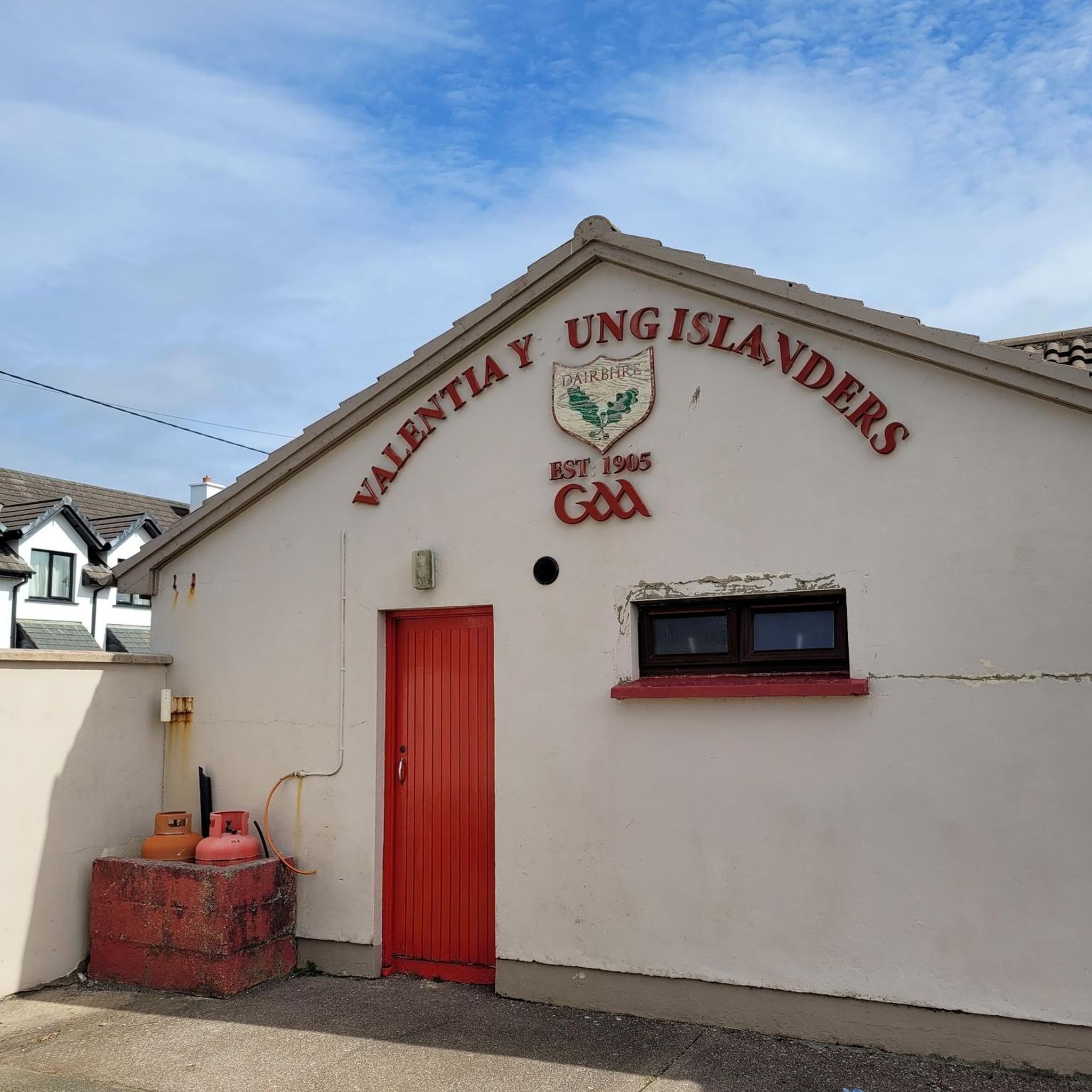

Tips from the Community

Wonderful place for a break
0
0
Attention: Cycle route 94 is closed here due to construction work from 27.04.2026 - 02.11.2026 (at least partial sections) and is diverted from Sihlwald station to Alter Bahnhof Sihlbrugg via Sihltalstrasse (signposted on site). See Schweiz Mobil info.
0
0

Looks more like a cemetery. But there used to be tables and benches.
0
0


Beautiful ride along the Sihl, quiet
0
1
Alas, snack bar seems to be no longer open. Also, I think this is not a cemetery; what appear to be headstones are the supports for tables no longer in use.
1
0

Beautiful bike path, with some barbecue areas
1
0
Frequently Asked Questions
What kind of mountaineering experiences can I expect in Erlenbach (ZH)?
Erlenbach (ZH) offers diverse mountain hiking experiences, characterized by scenic paths along Lake Zurich, picturesque gorges, and accessible hills. While not a hub for technical climbing, the area features trails that require good fitness and sure-footedness, traversing woodlands and open areas. You'll find routes with elevations up to around 700 meters, providing views of the surrounding landscape and distant peaks.
How many mountaineering routes are available in Erlenbach (ZH)?
There are several mountaineering routes around Erlenbach (ZH) listed on komoot, with a total of 2 tours specifically categorized as mountaineering in this guide. The broader region offers over 300 tours with varying elevations and difficulties.
What are the typical difficulty levels for mountaineering routes in Erlenbach (ZH)?
The mountaineering routes in this guide are generally classified as moderate. These trails require good fitness and sure-footedness, often involving varied terrain through woodlands and open sections. While not technically challenging, they offer a rewarding mountain hiking experience.
Are there any notable natural features or landmarks to see along the routes?
Yes, the region is rich in natural beauty. You can explore the idyllic Erlenbach and Küsnacht Gorges, which feature waterfalls like the 12-meter high Höhschutz and fascinating sights such as the Küsnacht Erratikus (an erratic boulder) and the mysterious Dragon's Cave. Many routes also offer beautiful views of Lake Zurich. For specific viewpoints, consider visiting the Uetliberg Summit Viewpoint or the Uetliberg Observation Tower.
Where can I find the best viewpoints around Erlenbach (ZH)?
For panoramic views, the Uetliberg, Zurich's local mountain, is easily accessible. You can reach the Uetliberg Summit Viewpoint or the Uetliberg Observation Tower, which offer extensive vistas of the city, Lake Zurich, and a vast expanse of the Alps. Another great spot is the Loorenkopf Tower.
How accessible are the mountaineering routes by public transport?
Many routes in the Erlenbach (ZH) area are well-connected by public transport. For example, the popular Uetliberg Transmission Tower – Uetliberg Summit Viewpoint loop from Wiedikon starts from Wiedikon, which is easily reachable by public transport. The region's excellent public transport network makes it convenient to access various trailheads.
Is parking available near the trailheads?
Yes, parking is generally available near many trailheads in the Erlenbach (ZH) area, though it can vary by specific starting point. It's advisable to check local signage or online resources for parking options at your chosen route's starting location.
What is the best time of year to go mountaineering in Erlenbach (ZH)?
The best time to go mountaineering in Erlenbach (ZH) is typically from spring through autumn, when the weather is mild and trails are clear of snow. During these seasons, you can fully enjoy the scenic landscapes, waterfalls, and lake views. While some trails might be accessible in winter, conditions can be more challenging due to snow and ice.
Are there family-friendly mountaineering routes in Erlenbach (ZH)?
Yes, Erlenbach (ZH) offers routes suitable for families. While some trails require good fitness, there are options that are less strenuous and can be enjoyed by children. The picturesque gorges and lake paths provide engaging scenery for all ages. Always check the specific route details for distance and elevation to ensure it matches your family's capabilities.
Are dogs allowed on the mountaineering trails?
Generally, dogs are allowed on most hiking and mountaineering trails in the Erlenbach (ZH) region, but it's important to keep them on a leash, especially in nature reserves, agricultural areas, or where wildlife is present. Always be mindful of local regulations and other trail users.
Can I find circular mountaineering routes in the area?
Yes, many of the mountaineering routes in Erlenbach (ZH) are designed as circular paths, allowing you to start and end at the same point. For example, the Uetliberg Transmission Tower – Uetliberg Summit Viewpoint loop from Wiedikon and the Ruine Manegg loop from Adliswil are excellent circular options.
Are there places to eat or rest near the mountaineering routes?
Yes, you'll find various options for refreshments and rest. The Uetliberg, for instance, features the Uto Kulm Restaurant right at the summit. Additionally, Erlenbach (ZH) and nearby towns offer cafes and restaurants where you can refuel after your mountain hike.
What do other mountaineers enjoy the most about mountaineering in Erlenbach (ZH)?
The area is highly rated by the komoot community, with an average score of 5.0 stars. Reviewers often praise the diverse terrain, from scenic lake views to forested gorges, and the accessibility of routes that cater to different ability levels. The stunning panoramic views from elevated points like Uetliberg are also frequently highlighted.
Most popular routes around Erlenbach (ZH)
Most popular attractions around Erlenbach (ZH)

Get inspired with the komoot mobile app


Explore more
Browse the best Mountain Hikes & Routes in other regions.
