The best mountain hikes around Dürnten
4.8
(3)
40
hikers
4
hikes
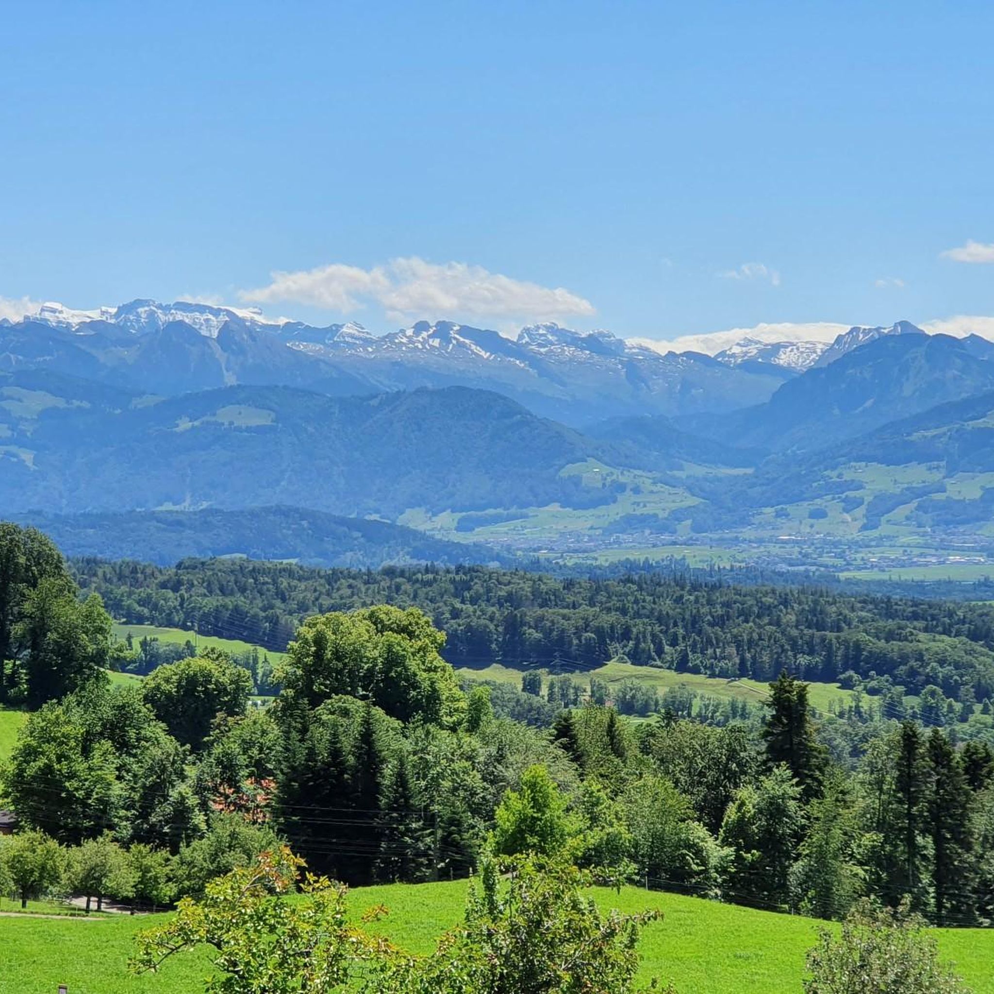
Mountaineering routes around Dürnten are situated in the Zurich Oberland, offering diverse landscapes for outdoor exploration. The region features expansive meadows, dense forests, and varied mountainous terrain, including the prominent Bachtel mountain. Numerous lakes such as Pfäffikersee, Egelsee, and Lützelsee are integrated into the natural environment, alongside waterways like the Jona river. These physical features provide a range of moderate mountaineering experiences.
Best mountaineering routes around Dürnten
- The most popular mountaineering route is Mountaineering loop from Steg, a 9.1…
Last updated: May 11, 2026
5.0
(1)
16
hikers
9.67km
03:27
570m
570m
Moderate mountaineering route. Good fitness required. Easily-accessible paths. Suitable for all skill levels.
4.5
(2)
12
hikers
6.98km
02:37
410m
410m
Moderate mountaineering route. Good fitness required. Mostly accessible paths. Sure-footedness required.

Sign up for free
6
hikers
8.33km
03:11
580m
580m
Moderate mountaineering route. Good fitness required. Mostly accessible paths. Sure-footedness required.
4
hikers
11.8km
04:00
590m
590m
Moderate mountaineering route. Good fitness required. Easily-accessible paths. Suitable for all skill levels.
3
hikers
7.01km
02:22
330m
330m
Moderate mountaineering route. Good fitness required. Mostly accessible paths. Sure-footedness required.
Our route recommendations are based on thousands of hikes, rides, and runs completed by other people on komoot.
Start today with a free account
Your next adventure awaits.
Login or Signup
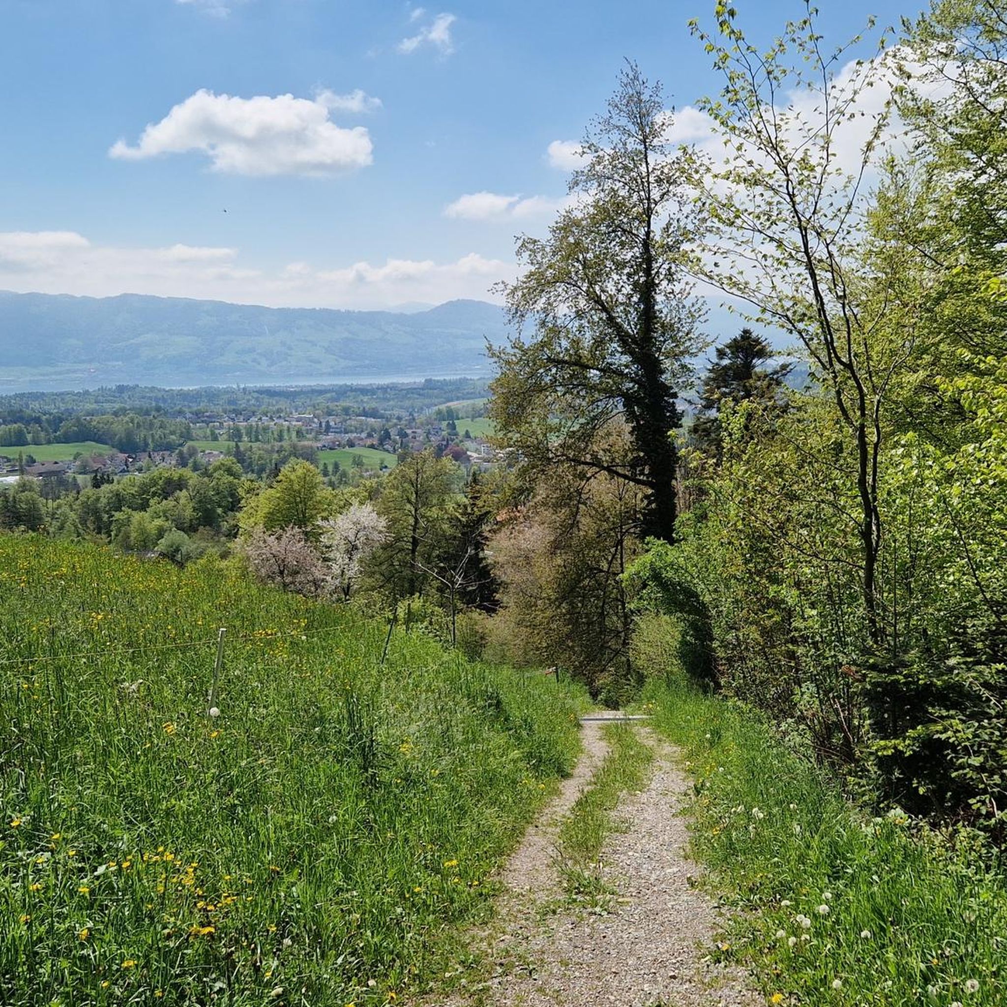
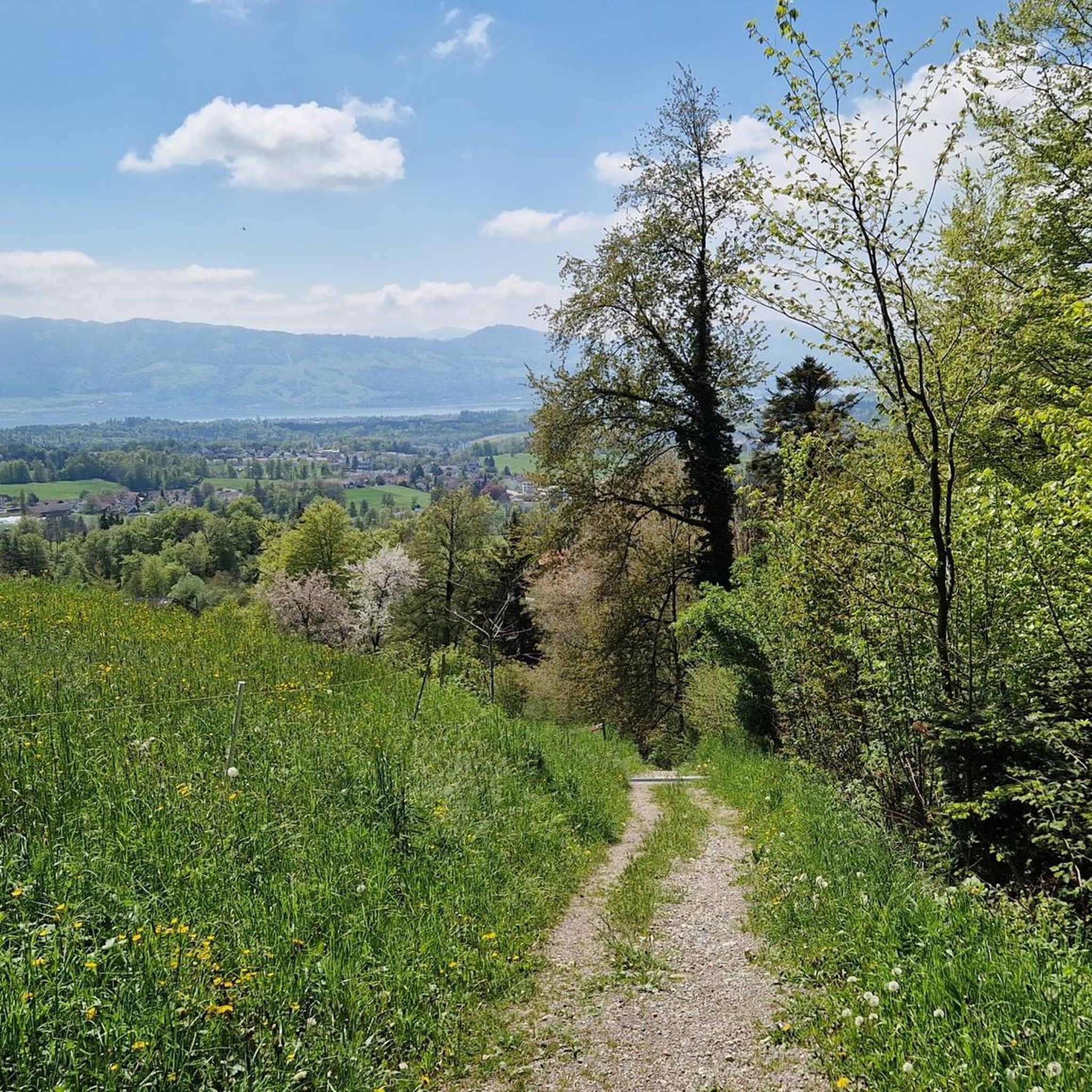
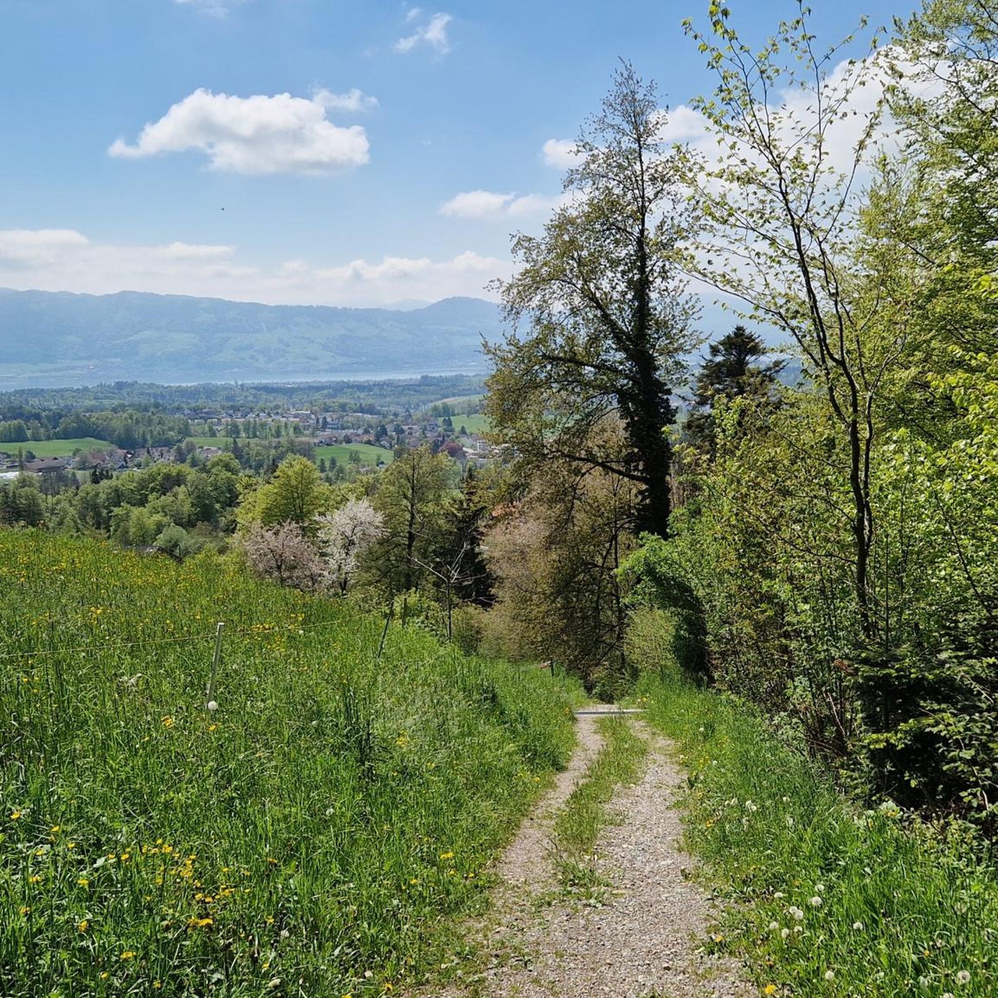
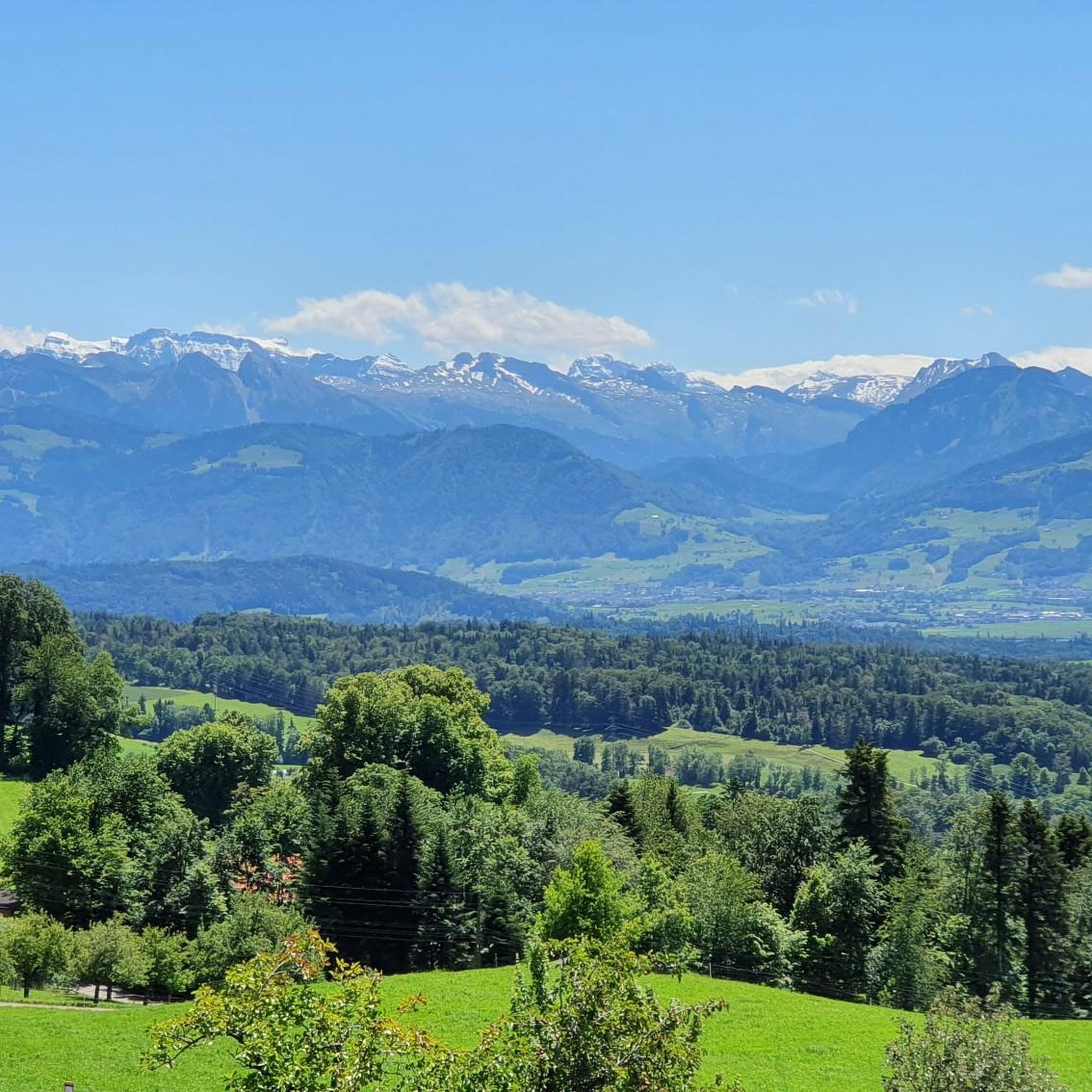

Tips from the Community


Conditionally very demanding. 200m steep running section.
0
0

Very nice stop, good restaurant, charging facilities for e-bikers.
0
0

The restaurant reopens in 2025. Rather expensive.
1
0

A beautifully designed break area with seating, a fireplace, and firewood is available. The perfectly designed mountain display provides a glimpse into the world of the summits.
0
0

Super nice corner for biking
0
0

Mountain restaurant with wonderful views
1
0

The terrace offers stunning views of the Glarus Alps, the Churfirsten Mountains, and the Bernese Oberland. The hike from Hüttenberg takes about 45 minutes, and from Schutt, about an hour. https://www.bergrestaurant-atzmaennig.ch/
2
0
Frequently Asked Questions
How many mountaineering routes are available around Dürnten?
There are 5 moderate mountaineering routes around Dürnten, all offering diverse landscapes for exploration in the Zurich Oberland.
What is the best time of year for mountaineering in Dürnten?
The Dürnten region is generally enjoyable for hiking and mountaineering during spring, summer, and autumn. These seasons offer pleasant weather for exploring the expansive meadows, forests, and varied mountainous terrain.
Are there any circular mountaineering routes in Dürnten?
Yes, many of the routes around Dürnten are designed as loops. For example, you can explore the Mountaineering loop from Steg, the Tweralpspitz – Chümibaren loop from Eschenbach (SG), or the Hörnli loop from Steg, all offering rewarding experiences.
What natural attractions can I see along the routes?
The routes often feature beautiful natural attractions. You might encounter lakes such as Pfäffikersee, Egelsee, and Lützelsee. The prominent Bachtel Tower is a significant viewpoint in the region, and you can also find the Sagenraintobel Waterfalls along some trails.
What do other mountaineers appreciate about the routes in Dürnten?
The routes in Dürnten are highly rated by the komoot community, with an average score of 3.75 stars. Mountaineers often praise the diverse landscapes, including expansive meadows and dense forests, and the moderate challenge levels suitable for various abilities.
Are the mountaineering routes in Dürnten suitable for families?
The mountaineering routes around Dürnten are generally moderate in difficulty, making them suitable for families with some hiking experience. The varied terrain and scenic beauty offer an engaging outdoor experience for all.
Can I bring my dog on these trails?
Many trails in the Zurich Oberland, including those around Dürnten, are dog-friendly. However, it's always advisable to check local regulations and ensure your dog is well-behaved and kept on a leash, especially in nature reserves or near livestock.
Where can I find parking for these routes?
Parking availability varies by trailhead. For routes starting near towns like Steg or Eschenbach, you can often find public parking. For specific routes like those around the Bachtel Tower, designated parking areas are usually available nearby.
How can I reach the starting points by public transport?
Many starting points for routes in the Dürnten region are accessible by public transport, particularly train stations in nearby towns like Steg or Rüti. From there, local bus services can often connect you to more remote trailheads. It's recommended to check local transport schedules for specific route access.
Are there cafes or pubs near the routes?
Yes, the Zurich Oberland region has various establishments where you can stop for refreshments. Many villages and popular viewpoints, such as Bachtel-Kulm, offer cafes or restaurants. For example, the Hagheerenloch loop from Holderbaum might have options in nearby settlements.
Do I need any permits for mountaineering in Dürnten?
Generally, no specific permits are required for hiking or mountaineering on public trails in the Dürnten region. However, always respect private property and any posted signs, especially in agricultural areas or nature reserves.
Are there any routes that offer views of the Bachtel Tower?
Yes, routes in the Dürnten area often incorporate or offer views of the Bachtel mountain and its prominent Bachtel Tower. These loops provide excellent opportunities to enjoy the scenic vistas from this well-known landmark.
Are there any challenging mountaineering routes in Dürnten?
The mountaineering routes around Dürnten are primarily classified as moderate, focusing on strenuous hikes rather than technical climbing. While they offer good elevation gain and varied terrain, they do not typically involve advanced mountaineering skills or equipment.
Most popular routes around Dürnten
Most popular attractions around Dürnten

Get inspired with the komoot mobile app


Explore more
Browse the best Mountain Hikes & Routes in other regions.
