The best running trails in Norðurþing
4.8
(6)
103
runners
9
runs
Jogging routes in Norðurþing offer a diverse range of experiences across this Icelandic region. The terrain primarily features coastal paths, rolling hills, and open landscapes, with elevations generally under 200 meters. The area is characterized by dramatic waterfalls, expansive canyons like Ásbyrgi, and varied mountain ranges, providing diverse environments for running. These physical features support both shorter, more accessible runs and longer, moderately challenging trails.
Best jogging routes in Norðurþing
- The most popular jogging route is Húsavík Church loop from…
Last updated: October 11, 2026
4.0
(3)
36
runners
10.6km
01:12
170m
170m
Moderate run. Good fitness required. Mostly paved surfaces. Suitable for all skill levels.
5.0
(1)
17
runners
6.82km
00:48
130m
130m
Moderate run. Good fitness required. Mostly paved surfaces. Suitable for all skill levels.

5.0
(1)
10
runners
11.9km
01:29
160m
160m
Moderate run. Good fitness required. Mostly paved surfaces. Suitable for all skill levels.
5.0
(1)
10
runners
5.03km
00:37
50m
50m
Moderate run. Good fitness required. Mostly accessible paths. Some sure footedness required.
6
runners
5.19km
00:33
50m
50m
Moderate run. Good fitness required. Mostly paved surfaces. Suitable for all skill levels.
4
runners
9.29km
01:01
30m
30m
Moderate run. Good fitness required. Mostly paved surfaces. Suitable for all skill levels.
5
runners
Moderate run. Good fitness required. Mostly paved surfaces. Suitable for all skill levels.
Get access to more routes and recommendations from other explorers.
Already have an account?
Our route recommendations are based on thousands of hikes, rides, and runs completed by other people on komoot.
Start today with a free account
Your next adventure awaits.
Popular around Norðurþing
Tips from the Community

Husavík means "the bay of houses," as legend says it was settled before the official settlement date of 874 AD. Gardar Svavarsson was a Swede who wintered in Iceland in 870 AD. According to legend and sagas, he left behind a man named Nattfari and two slaves to cultivate a farm here.
0
0
Although most tourists come to Húsavik on Skjálfanda Bay for the popular whale-watching tours, a visit to the wooden church, built in 1907, is still a must. The oldest piece in the church is the chandelier, dating from 1640. Other items, such as the altarpiece from 1931, are more recent.
0
0

Husavik is good for whale watching, but certainly not a recommended terrain for cycling!
0
0

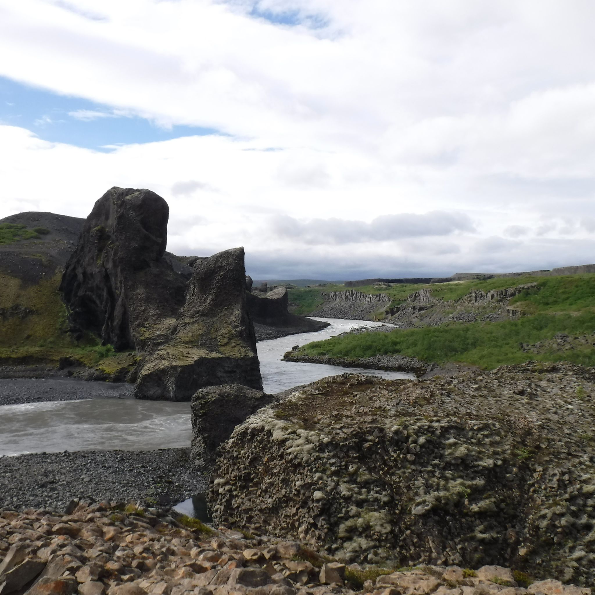
A beautiful rock of red and black ash that offers breathtaking views of the gorge.
3
0
After crossing the golf course for 800 m, you arrive at the Tófugjá where you can easily climb up the rock with a belay rope.
9
0

Very nice, small town with a beautiful church. Whale watching is also possible from here. Detour worthwhile.
1
1

Arctic Henge / Heimskáutsgerðir
1
2

Nice circular walk from the information center along the top of the Ásbyrgi gorge, lookout point Klappir, cross the plateau and return via the other gorge. Good signage.
0
0
Frequently Asked Questions
How many running routes are available in Norðurþing?
Norðurþing offers nearly 10 dedicated running routes. These trails vary in length and difficulty, providing options for different fitness levels.
What is the typical difficulty level for jogging trails in Norðurþing?
Most running routes in Norðurþing are rated as moderate. There is also one more challenging route for experienced runners, but no easy routes are listed, suggesting a generally active terrain.
Are there any circular running routes in Norðurþing?
Yes, many of the running routes in Norðurþing are circular, allowing you to start and finish at the same point. For example, the Húsavík Church loop from Húsavík is a popular circular option.
What kind of scenery can I expect on Norðurþing's jogging paths?
The running paths in Norðurþing often feature diverse scenery, including coastal views, rolling hills, and open landscapes. You can expect to see the sea and local settlements, providing a varied and engaging environment for your run.
Are there any running routes that pass by waterfalls or other natural attractions?
Yes, some areas in Norðurþing are rich in natural attractions. While specific running routes aren't directly listed as passing waterfalls, the region is home to impressive sights like Selfoss Waterfall and Katlar Waterfalls, which you might explore before or after your run.
What do other runners say about the trails in Norðurþing?
The running routes in Norðurþing are highly rated by the komoot community, with an average score of 4.75 stars from over 6 reviews. Runners often praise the varied terrain and scenic views, making for an enjoyable outdoor experience.
Are there any longer running routes for endurance training?
For those seeking a longer challenge, the Running loop from Ástjörn is a difficult 17.3 km (10.7 miles) trail. This route offers a significant distance and elevation gain, suitable for endurance training.
Can I find running routes near specific landmarks or towns?
Absolutely. Many routes are accessible from local towns or landmarks. For instance, the Running loop from Húsavíkurfjall starts near the Húsavíkurfjall mountain, offering convenient access and scenic views.
What is a good moderate-distance running route in Norðurþing?
A great moderate-distance option is the Running loop from Eyjan. This trail covers 12.2 km (7.6 miles) and features varied terrain with gentle ascents and descents, making it a popular choice for local runners.
Are there any running trails suitable for beginners in Norðurþing?
While there are no routes specifically classified as 'easy,' many of the moderate trails can be enjoyed by beginners looking for a bit of a challenge. The Ásbyrgi loop from Kópasker is a moderate 5.2 km (3.2 miles) route, which could be a good starting point.
What are some points of interest I might see while running in Norðurþing?
Beyond natural beauty, you might encounter cultural or historical points of interest. For example, the town of Húsavík features the prominent Húsavík Church, which is visible from some local running paths.
Most popular routes in Norðurþing
Most popular attractions in Norðurþing

Get inspired with the komoot mobile app


Explore more
Browse the best Running Trails & Routes in other regions.
