The best mountain hikes in Bezirk Gäu
5.0
(1)
12
hikers
6
hikes
Mountaineering routes in Bezirk Gäu are situated within the canton of Solothurn in northwestern Switzerland, characterized by its diverse landscapes. The region is framed by the Jura Mountains to the north, providing varied terrain for ascents and challenging trails. Elevations in the district range significantly, offering opportunities for substantial climbs and panoramic views. The landscape features gentle hills, expansive fields, and notable rock formations like Roggenflue and Roggenschnarz.
Best mountaineering routes in Bezirk Gäu
- The most popular mountaineering route is…
Last updated: June 24, 2026
2
hikers
Hard mountaineering route. Very good fitness required. Sure-footedness, sturdy shoes and alpine experience required.
2
hikers
Moderate mountaineering route. Good fitness required. Mostly accessible paths. Sure-footedness required.

Sign up for free
5.0
(1)
3
hikers
11.2km
03:29
410m
410m
Moderate mountaineering route. Good fitness required. Mostly accessible paths. Sure-footedness required.
2
hikers
4.88km
01:40
200m
210m
Moderate mountaineering route. Great for any fitness level. Mostly accessible paths. Sure-footedness required.
2
hikers
14.5km
04:48
610m
600m
Moderate mountaineering route. Good fitness required. Mostly accessible paths. Sure-footedness required.
1
hikers
12.3km
03:47
410m
410m
Moderate mountaineering route. Good fitness required. Mostly accessible paths. Sure-footedness required.
Our route recommendations are based on thousands of hikes, rides, and runs completed by other people on komoot.
Start today with a free account
Your next adventure awaits.
Login or Signup
Popular around Bezirk Gäu
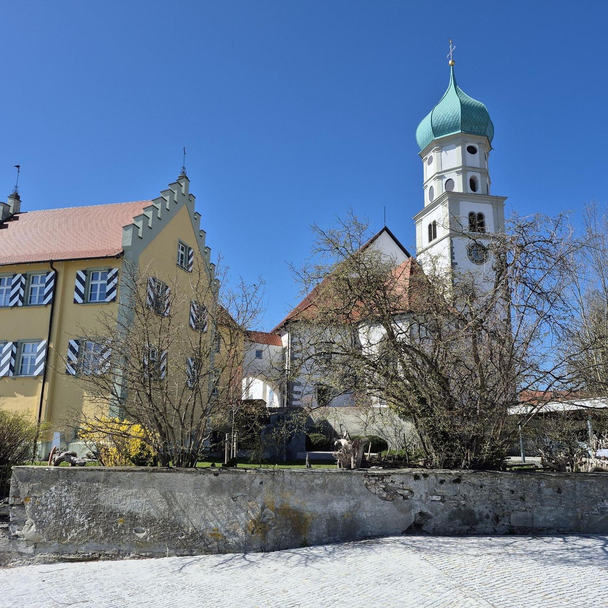
Mountain Hikes around Härkingen
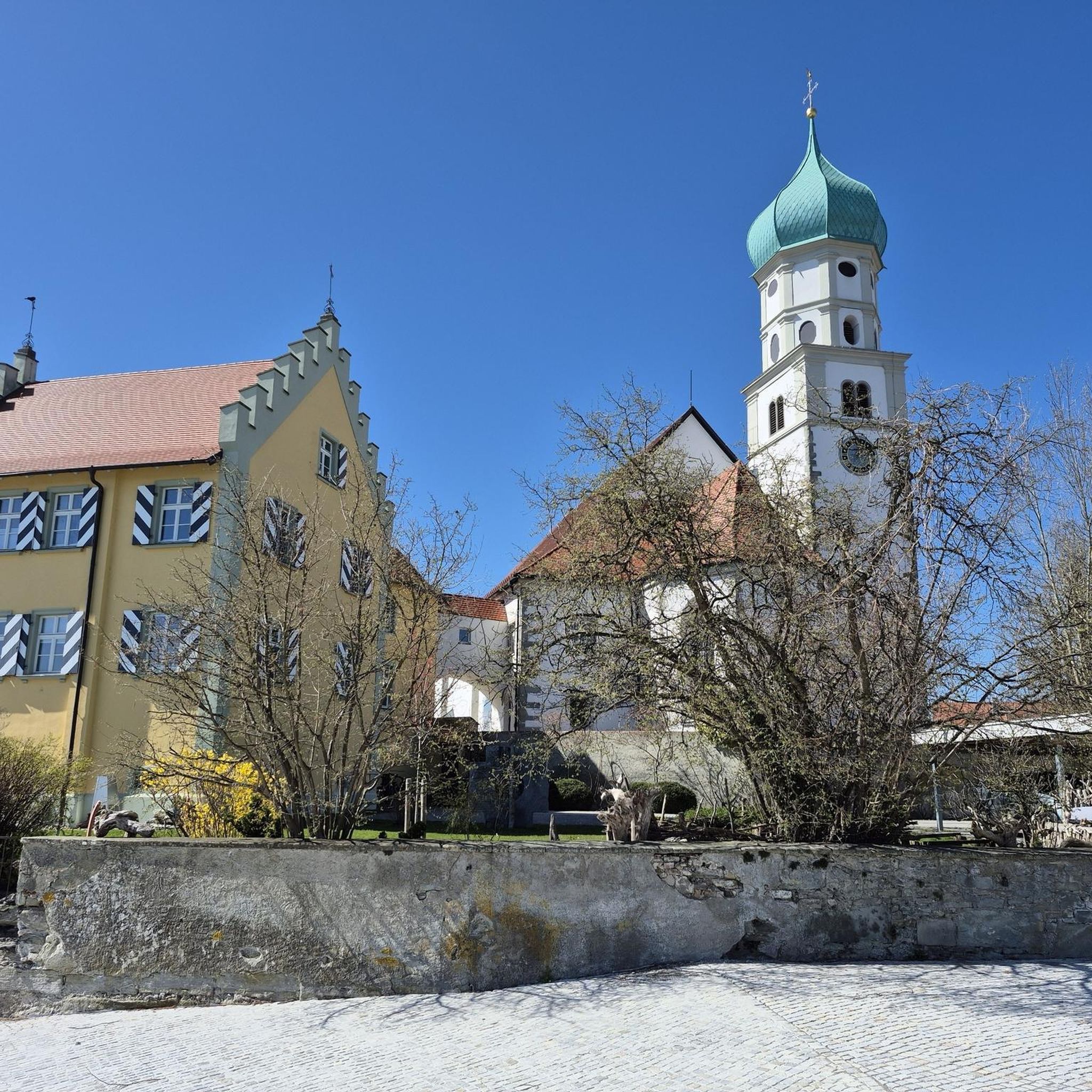
Mountain Hikes around Kestenholz
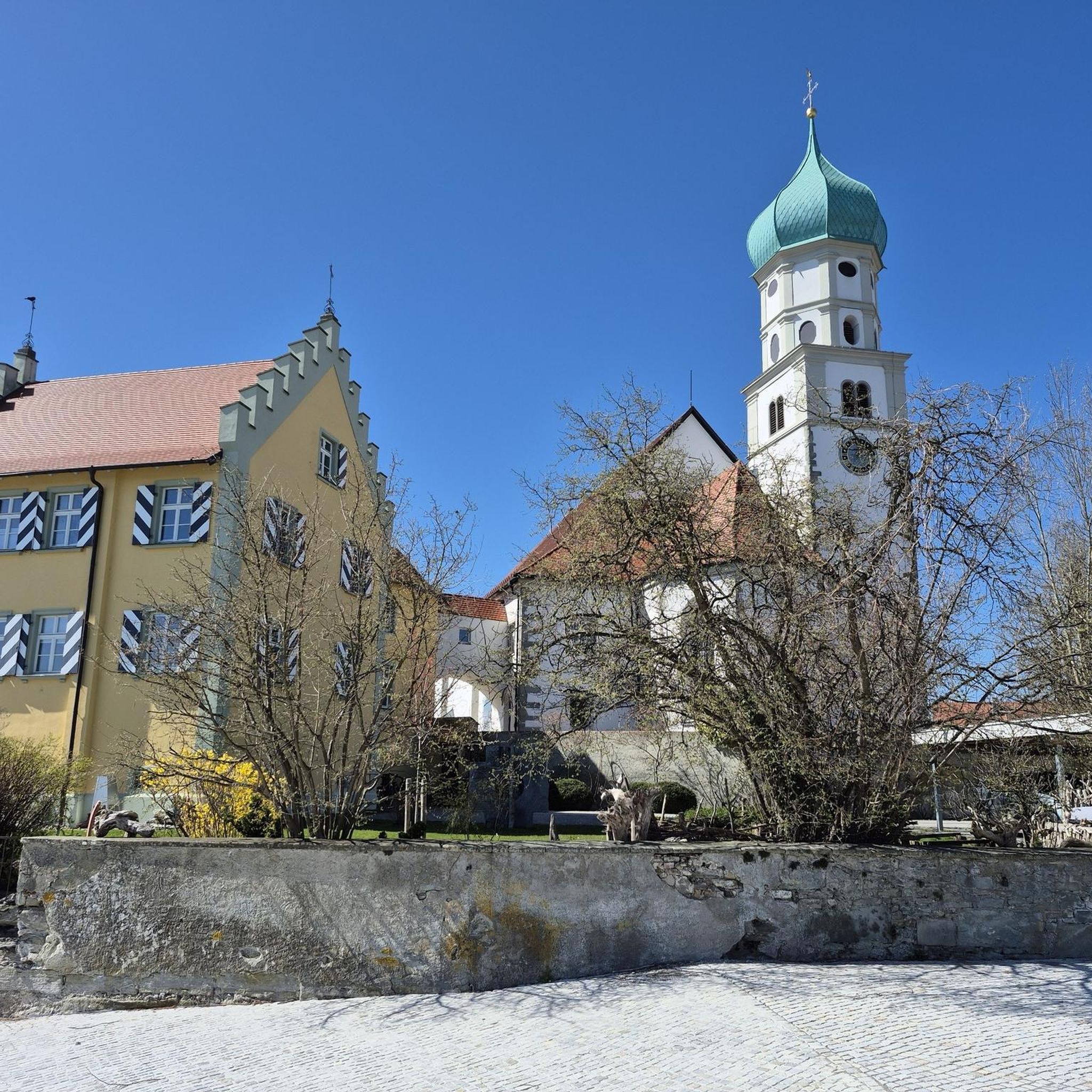
Mountain Hikes around Niederbuchsiten
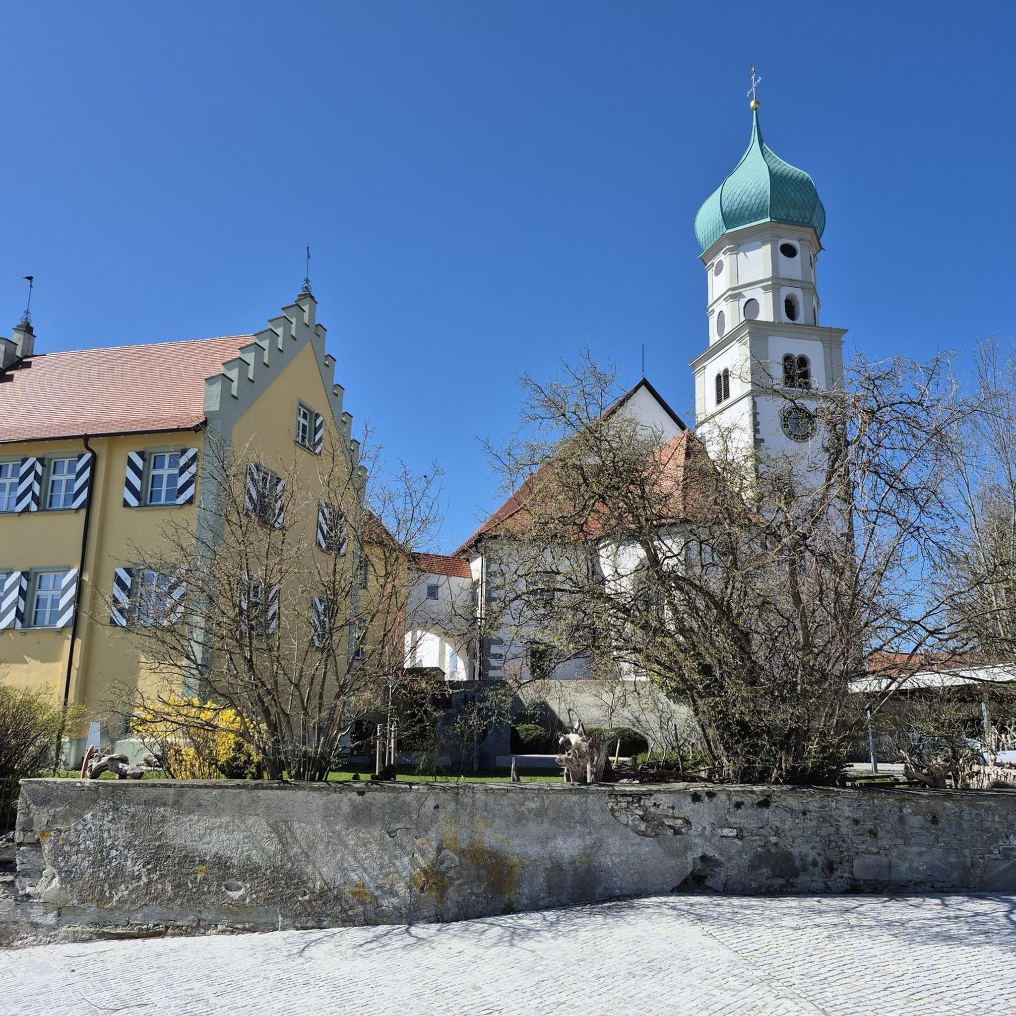
Mountain Hikes around Egerkingen
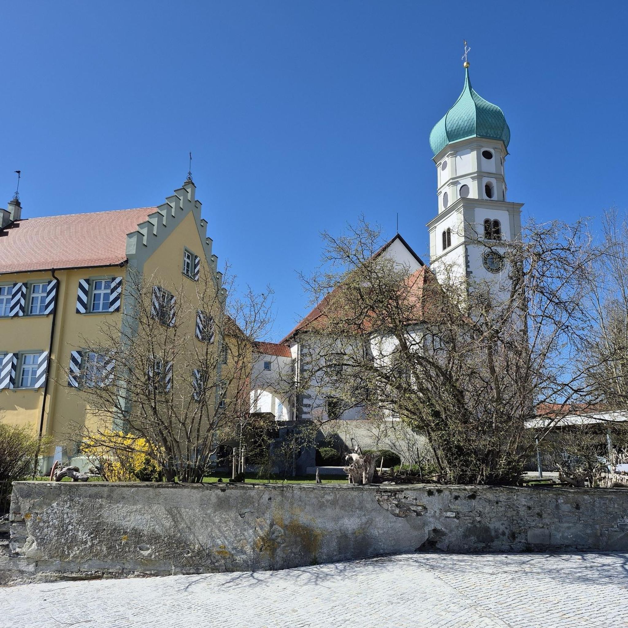
Mountain Hikes around Oberbuchsiten
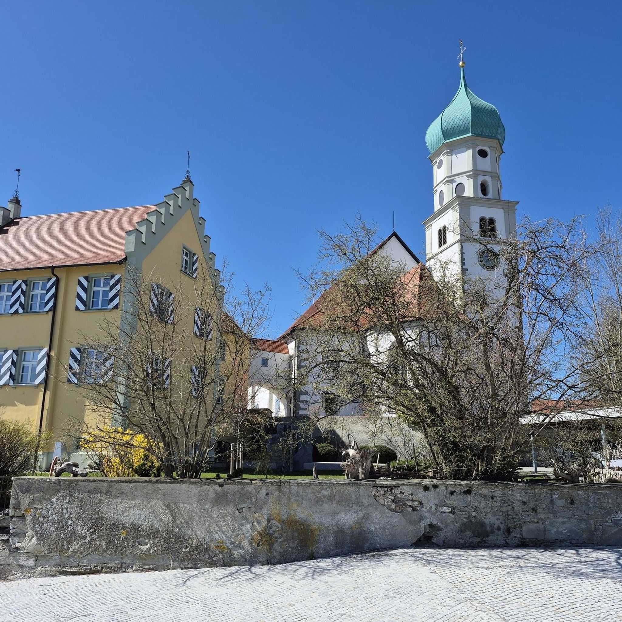
Mountain Hikes around Neuendorf
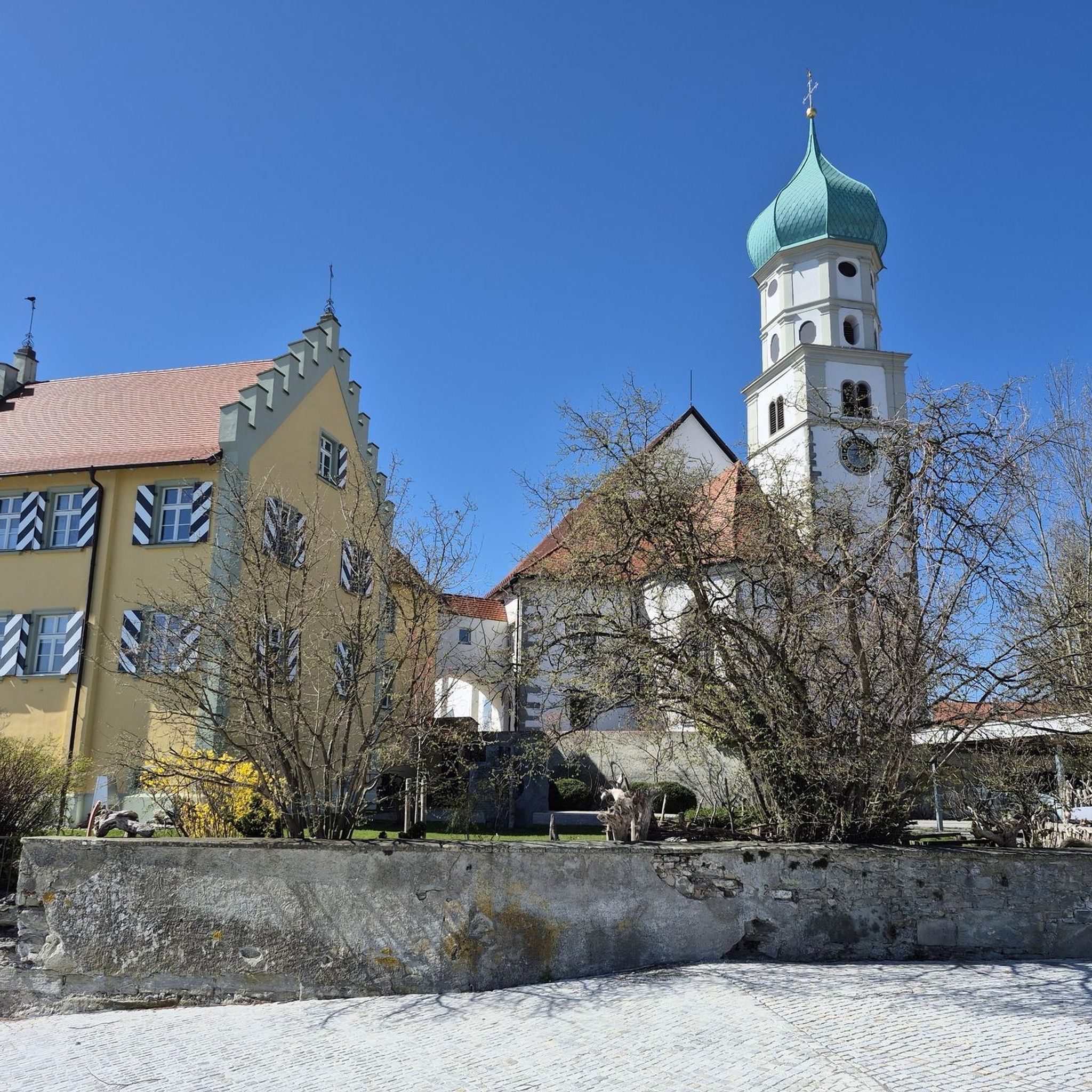
Mountain Hikes around Wolfwil
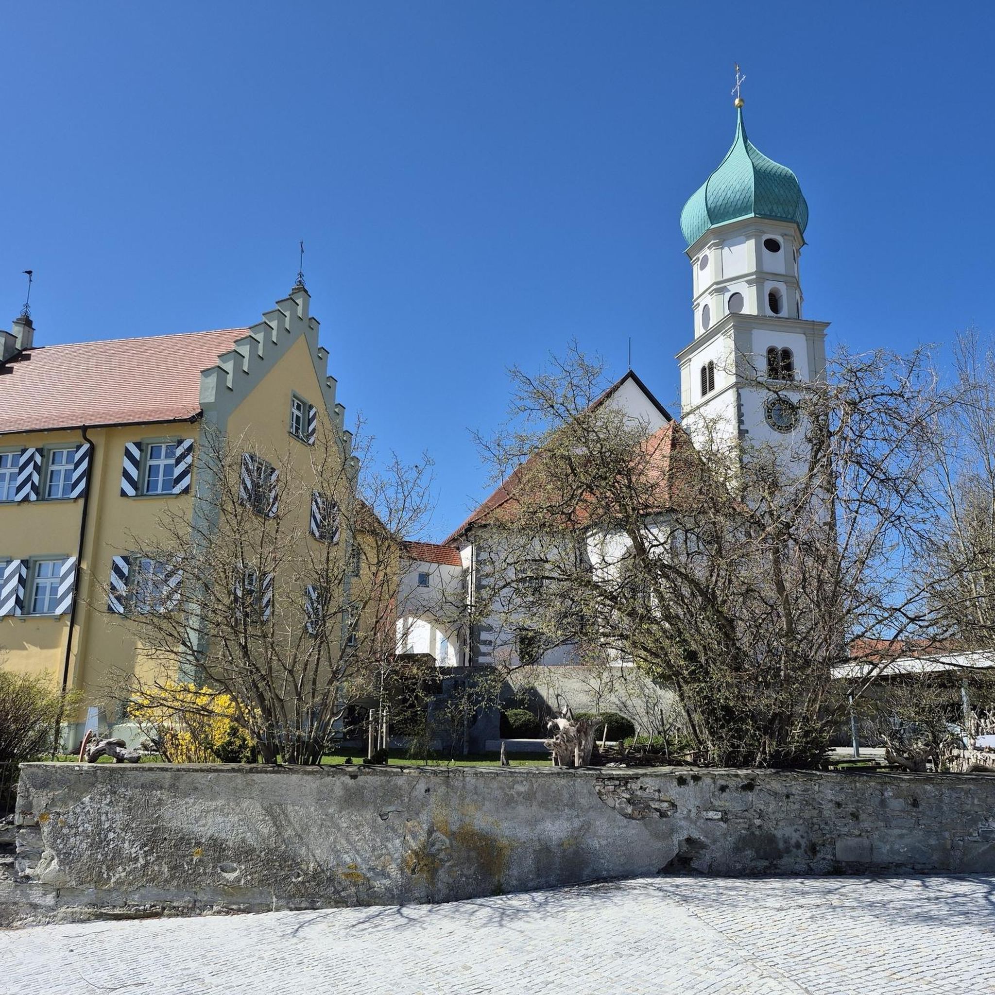
Mountain Hikes around Oensingen
Around the Oberaargau with the IBL Challenge
Road Cycling Routes in Bezirk Gäu
Other adventures in Bezirk Gäu

Tips from the Community

Beautiful mountain lodge as a good starting point for a hike across the Belchenflue.
2
0

Ideal resting place with fire pit: carry barbecue food in your backpack!
1
0

A challenging pass in the Tafeljura, the climb is made up of a small road with a maximum gradient of 15% and little traffic. The scenery is very scenic, with magnificent panoramas along the way.
1
1

A brief look back and relics of history. Some information boards along the way describe the events of that time and provide good background information.
1
0

Chamois can often be seen at this spot.
0
0
Nice hike down to the Rhine - a good 30 km.
1
0

Interesting information trail about the First World War
0
0
Impressive viewing point. Former tank turret - part of the First World War memorial trail
0
0
Frequently Asked Questions
How many mountaineering routes are available in Bezirk Gäu?
There are 6 dedicated mountaineering routes in Bezirk Gäu, offering a range of experiences from moderate to difficult ascents through the Jura Mountains.
Are there any family-friendly mountaineering routes in Bezirk Gäu?
While many routes in Bezirk Gäu involve significant ascents and can be challenging, some moderate options might be suitable for families with older, experienced children. For instance, the Ruins of Neu-Falkenstein Castle – Roggenschnarz loop from Holderbank SO is a moderate 14.5 km path that explores historical ruins and distinctive rock formations, offering a rewarding experience without extreme technical difficulty.
What kind of views can I expect on mountaineering routes in Bezirk Gäu?
Mountaineering in Bezirk Gäu offers spectacular panoramic views, often extending across the Swiss plateau (Mittelland) and even to the distant Alps. Notable viewpoints include the Roggenflue and the Belchenflue Summit. The Roggenflue Viewpoint is particularly renowned for its magnificent vistas.
Are there any circular mountaineering routes in the region?
Yes, many of the mountaineering routes in Bezirk Gäu are designed as circular tours, allowing you to start and end at the same point. An example is the challenging Roggenflue Viewpoint – Ruins of Neu-Falkenstein Castle loop from Thalbrücke, which covers 16.5 km and offers diverse scenery.
What are some interesting landmarks or attractions to see along the routes?
Beyond the natural beauty, you can discover historical and cultural points of interest. Routes often pass by the ruins of Neu-Falkenstein Castle. You might also encounter unique structures like Toni's Hut, a historic mountain hut built into the rock face of the Roggen. The region also features several mountain restaurants that serve as popular resting points.
Are there options for advanced mountaineers in Bezirk Gäu?
Absolutely. Bezirk Gäu, situated within the Jura Mountains, offers routes with significant ascents and varied terrain suitable for experienced mountaineers. Some trails feature narrow serpentines, steep grades, and even delicate staircase passages, requiring good physical condition, sure-footedness, and alpine experience. The Belchenflue Summit Viewpoint – Chilchzimmersattel loop from Langenbruck is a challenging 15.4 km route that exemplifies the more demanding options.
What is the best time of year for mountaineering in Bezirk Gäu?
The best time for mountaineering in Bezirk Gäu is generally from spring through autumn, when the weather is more stable and trails are clear of snow. The Jura Mountains can experience significant snowfall in winter, making some routes more challenging or inaccessible. Always check local weather conditions before heading out.
Are there places to eat or rest along the mountaineering trails?
Yes, Bezirk Gäu is well-equipped with mountain restaurants and inns that provide excellent opportunities for rest and refreshment. Popular spots include the Tiefmatt Mountain Inn, Roggen Mountain Restaurant, and Blüemlismatt Mountain Restaurant, many of which offer stunning views.
Can I bring my dog on the mountaineering routes in Bezirk Gäu?
Many trails in Switzerland are dog-friendly, but it's always advisable to check specific route regulations. Given the varied terrain, including steep sections and secured passages, ensure your dog is fit for the challenge and kept on a leash where required, especially in nature reserve areas or near livestock. The Chilchzimmersattel – Belchenflue Summit Viewpoint loop from Langenbruck is a moderate option that could be suitable for well-behaved dogs.
What do other mountaineers enjoy most about Bezirk Gäu?
The komoot community highly rates the mountaineering experiences in Bezirk Gäu, with an average score of 5.0 stars. Users frequently praise the diverse landscapes, the rewarding panoramic views of the Swiss plateau and Alps, and the well-maintained yet challenging trails that cater to various skill levels.
Are there any easier mountaineering routes for beginners?
While many routes are moderate to difficult, there are options that are less strenuous. For those new to mountaineering or looking for a less demanding experience, the Schneelochberg – Schellenberg loop from Belchenflue is a moderate 4.7 km route with less elevation gain, making it a good starting point to enjoy the mountain environment.
Is public transport available to access the mountaineering routes?
Bezirk Gäu is generally accessible, and many trailheads can be reached via public transport, particularly train and bus services that connect the villages. It's recommended to check local transport schedules to plan your journey to the starting points of routes like the Biber-Biotop – Stelliwald loop from Herzogenbuchsee.
Are there any historical sites related to World War I in the area?
Yes, the region holds historical significance. You can explore routes that pass by remnants of past conflicts, such as the World War I Defensive Wall – Chilchzimmersattel loop from Langenbruck. This moderate route offers a unique blend of natural beauty and historical exploration.
Most popular routes in Bezirk Gäu
Most popular attractions in Bezirk Gäu

Get inspired with the komoot mobile app


Didn’t find what you were looking for?
Check out more Mountain Hikes & Routes throughout Bezirk Gäu below and find the perfect route in your destination.
Explore more
Browse the best Mountain Hikes & Routes in other regions.
