The best mountain hikes in Seeland, Switzerland
5.0
(13)
75
hikers
11
hikes
Mountaineering in Seeland, Switzerland, offers challenging routes through the Jura mountains bordering the region. The landscape is characterized by limestone ridges, dense forests, and elevated viewpoints. Mountaineers can expect varied terrain, from steep ascents to scenic paths along mountain flanks. The area provides opportunities for advanced alpine climbs, with several routes reaching significant elevations.
Best mountaineering routes in Seeland, Switzerland
- The most popular mountaineering route is Herrenloch Cave – View from Balmfluehchöpfli loop from Rüttenen, a 4.7 miles (7.6…
Last updated: July 8, 2026
5.0
(3)
23
hikers
7.79km
03:44
650m
650m
Hard mountaineering route. Good fitness required. Sure-footedness, sturdy shoes and alpine experience required.
12
hikers
10.9km
04:04
710m
710m
Moderate mountaineering route. Good fitness required. Easily-accessible paths. Suitable for all skill levels.

Sign up for free
7
hikers
7.52km
03:49
630m
620m
Hard mountaineering route. Good fitness required. Sure-footedness, sturdy shoes and alpine experience required.
5.0
(2)
4
hikers
14.1km
06:04
900m
900m
Hard mountaineering route. Very good fitness required. Sure-footedness, sturdy shoes and alpine experience required.
5.0
(1)
6
hikers
6.17km
03:55
710m
710m
Hard mountaineering route. Good fitness required. Sure-footedness, sturdy shoes and alpine experience required.
6
hikers
9.21km
03:40
690m
690m
Moderate mountaineering route. Good fitness required. Easily-accessible paths. Suitable for all skill levels.
5.0
(3)
5
hikers
14.9km
06:01
890m
890m
Hard mountaineering route. Very good fitness required. Mostly accessible paths. Sure-footedness required.
3
hikers
12.5km
04:49
770m
770m
Hard mountaineering route. Good fitness required. Sure-footedness, sturdy shoes and alpine experience required.
5.0
(1)
4
hikers
12.5km
04:44
760m
760m
Hard mountaineering route. Good fitness required. Sure-footedness, sturdy shoes and alpine experience required.
5.0
(3)
5
hikers
15.6km
05:34
810m
810m
Hard mountaineering route. Very good fitness required. Mostly accessible paths. Sure-footedness required.
Our route recommendations are based on thousands of hikes, rides, and runs completed by other people on komoot.
Start today with a free account
Your next adventure awaits.
Login or Signup
Popular around Seeland, Switzerland

Mountain Hikes around Leuzigen

Mountain Hikes around Arch
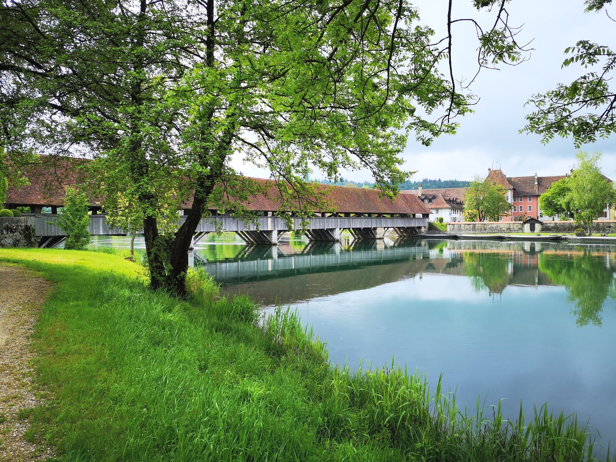
The Mittelland Route – Between Lake Constance and Lake Geneva
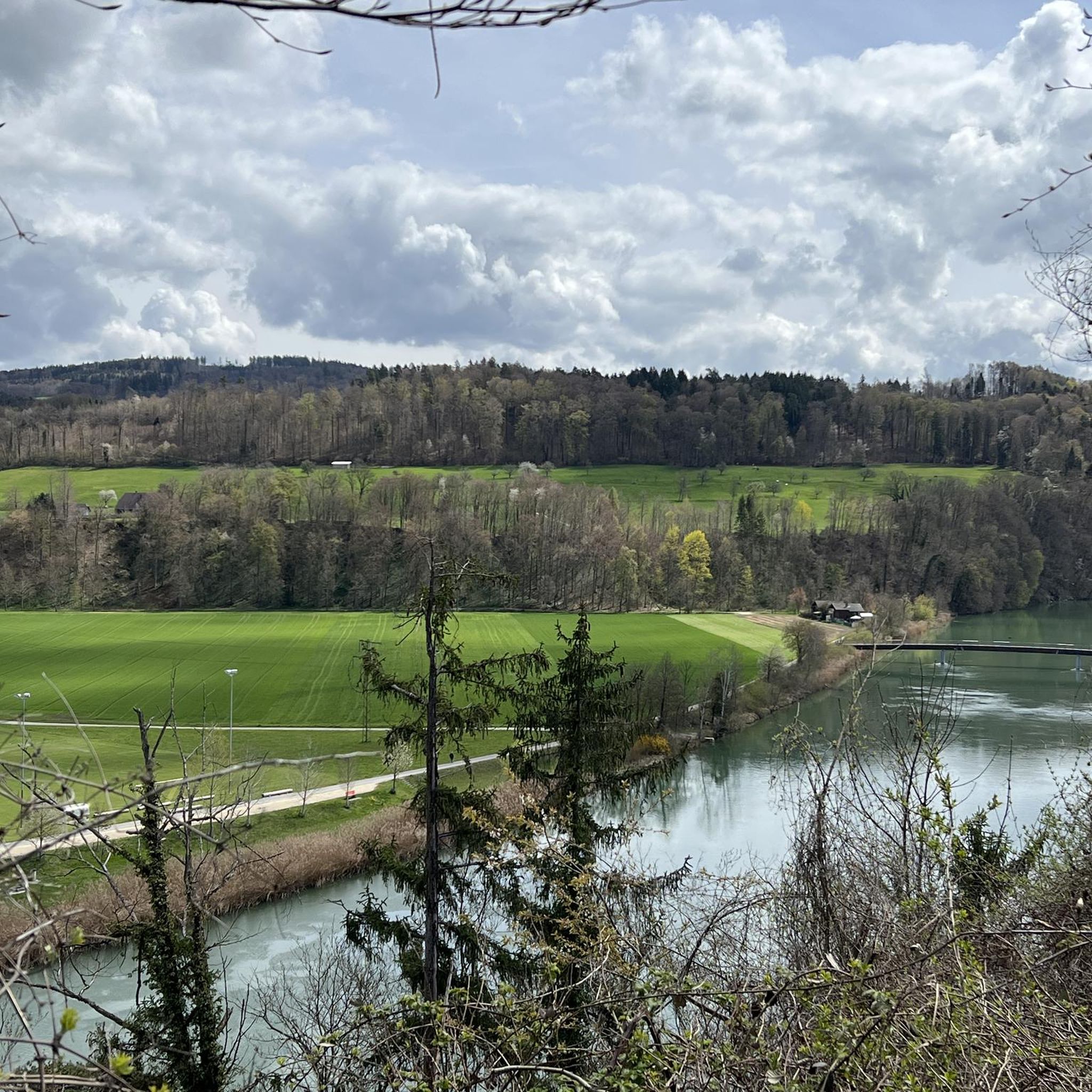
Cycling in Seeland, Switzerland
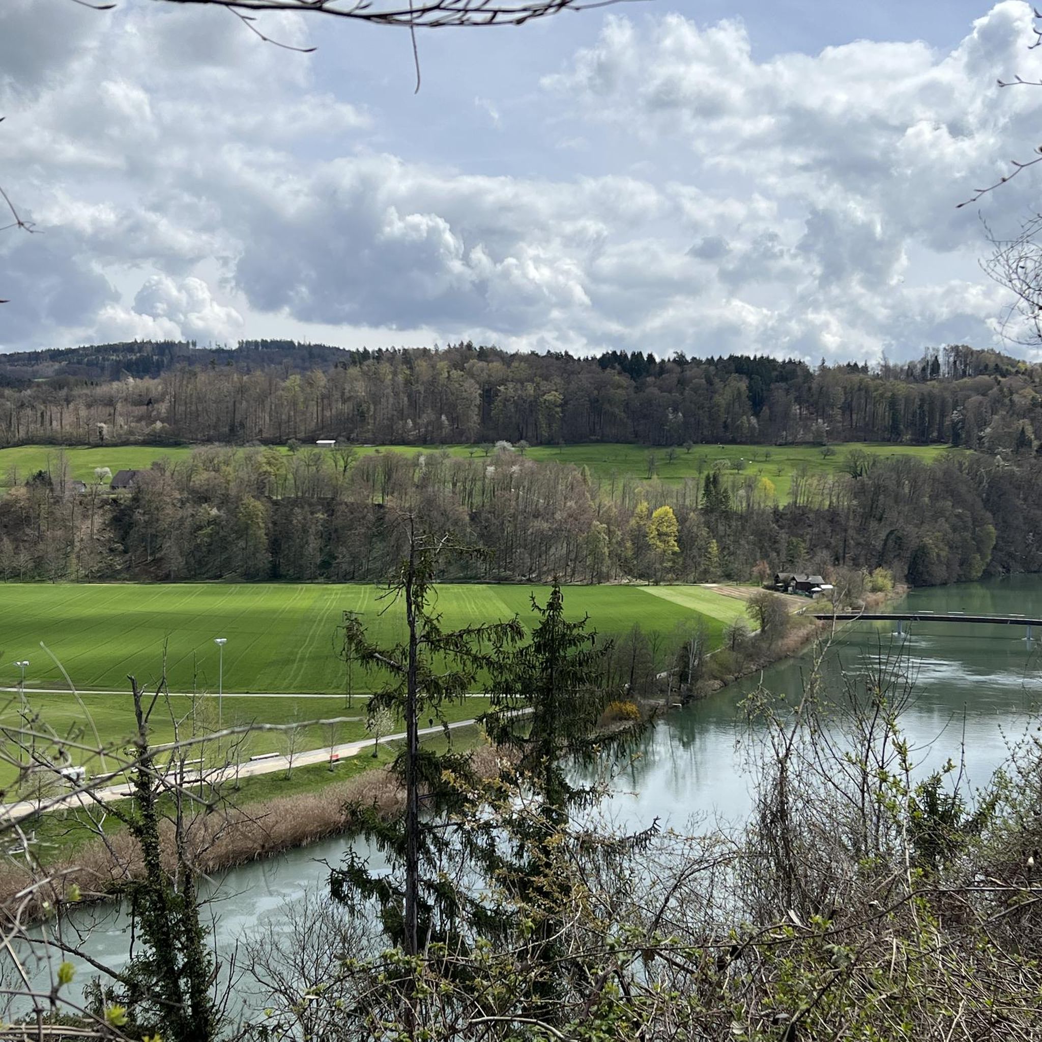
Road Cycling Routes in Seeland, Switzerland
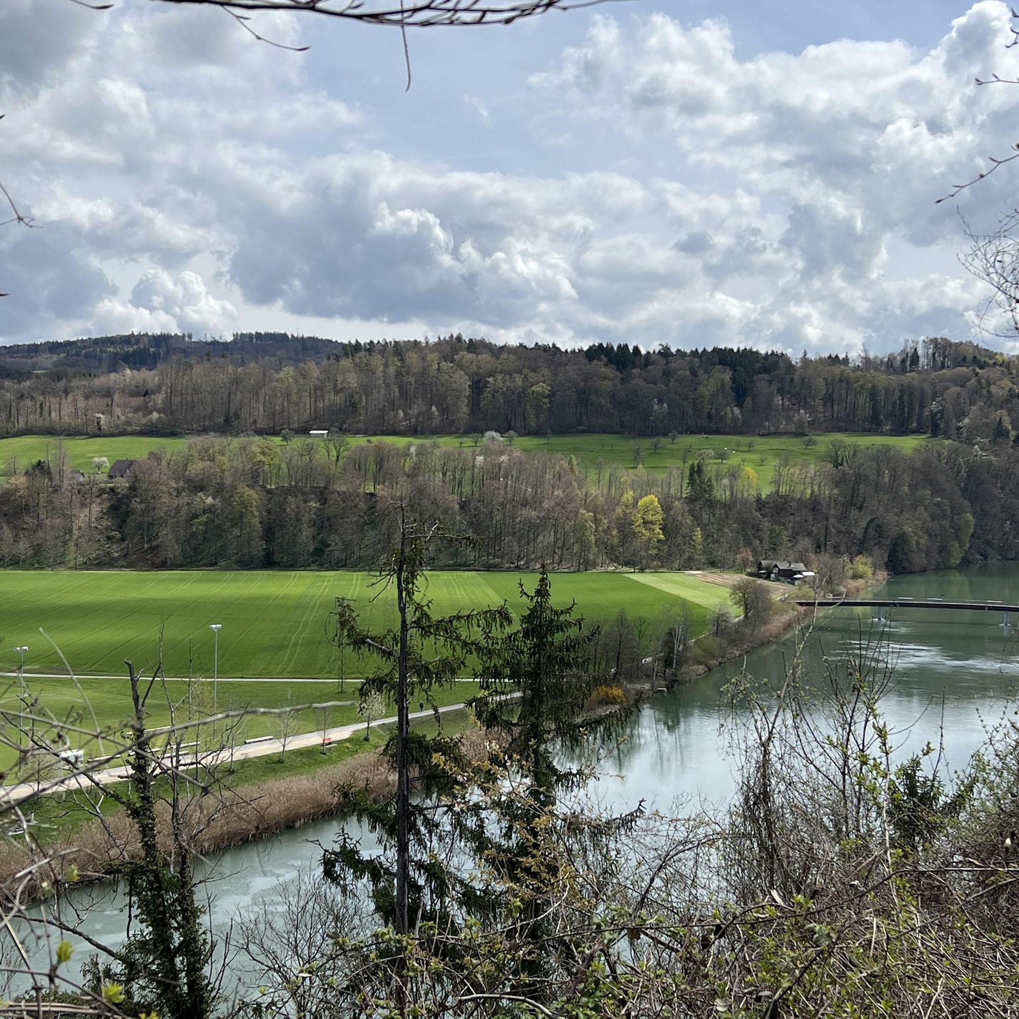
Hiking in Seeland, Switzerland
MTB Trails in Seeland, Switzerland
Running Trails in Seeland, Switzerland

Gravel biking in Seeland, Switzerland
Other adventures in Seeland, Switzerland

Tips from the Community

pretty here, very pretty
1
0

The Herrenloch is a cave with two entrances - a kind of tunnel - below the Balmfluechöpfli. It can be reached by trails both from the west ridge of the Balmfluechöpfli and as the end of the Hornpfad. The exit on the east side is reserved for the very experienced only; there has also been a fatal fall here. From the western entrance of the Herrenloch, you can also climb directly to the summit of the Balmfluechöpfli via trails.
0
0

wonderful and very beautiful area here
2
0
wonderful and very beautiful area here
3
0
wonderful and very beautiful area here
3
0
wonderful and very beautiful area here
2
0
wonderful and very beautiful area here
3
0
Frequently Asked Questions
How many mountaineering routes are available in Seeland, Switzerland?
There are over 10 mountaineering routes documented in Seeland, Switzerland on komoot. These routes primarily traverse the Jura mountains, offering varied terrain and challenging ascents.
Are there any beginner-friendly mountaineering routes in Seeland?
The mountaineering routes in Seeland, Switzerland, are generally considered challenging. There are no routes classified as 'easy' in this guide; most are rated 'difficult', with a few 'moderate' options. For instance, the Chasseral loop from Nods is a moderate option, but still requires a good level of fitness.
What is the best time of year for mountaineering in Seeland?
The best time for mountaineering in Seeland is typically from late spring to early autumn (May to October), when the weather is more stable and trails are clear of snow. During winter, conditions can be challenging, with snow and ice making routes more demanding and requiring specialized gear.
What kind of terrain can I expect on these mountaineering routes?
Mountaineering in Seeland is characterized by limestone ridges, dense forests, and elevated viewpoints. You can expect varied terrain, from steep ascents and rocky paths to scenic trails along mountain flanks. Routes often lead to prominent summit crosses and offer expansive vistas across the Jura landscape.
Are there any circular mountaineering routes in Seeland?
Yes, many of the routes in Seeland are circular, allowing you to start and end at the same point. Examples include the popular Herrenloch Cave – View from Balmfluehchöpfli loop from Rüttenen, which features cave exploration and panoramic views, or the longer Gitziflue Viewpoint – Hasenmatt Summit Cross loop from Oberdorf SO.
What are some notable landmarks or attractions I might see along the routes?
Several routes offer views of interesting natural features and landmarks. For example, the Herrenloch Cave – View from Balmfluehchöpfli loop from Rüttenen includes cave exploration. You might also encounter highlights like the Lobsigen Sandstone Caves or the Observation Tower at the Aare Nature Reserve, which are part of the region's natural monuments.
Are the mountaineering routes in Seeland suitable for dogs?
While many trails in Switzerland are dog-friendly, the mountaineering routes in Seeland are often challenging with steep ascents, rocky sections, and potentially exposed areas. It's crucial to assess your dog's fitness and experience for such terrain. Always keep dogs on a leash, especially in nature reserves or near livestock, and ensure they have enough water.
How accessible are the trailheads by public transport?
Switzerland is known for its excellent public transport network. Many trailheads in the Seeland region are generally accessible by bus or train, often requiring a short walk from the nearest stop. It's advisable to check local transport schedules for specific starting points before your trip.
What do other mountaineers enjoy most about the routes in Seeland?
The mountaineering routes in Seeland are highly rated by the komoot community, with an average score of 5.0 stars. Reviewers often praise the challenging nature of the trails, the panoramic views from elevated points like Balmfluehchöpfli and Hasenmatt, and the diverse landscape that includes limestone ridges and dense forests.
Are there any huts or shelters along the mountaineering routes in Seeland?
While the routes themselves might not have mountain huts directly on them, the Seeland region does have various forest houses and huts that can serve as rest stops or picnic spots. Examples include the Waldhaus Diessbach near Büren or the Worben Forest House. It's always wise to carry sufficient supplies for your chosen route.
What is the typical duration for a difficult mountaineering route in Seeland?
Difficult mountaineering routes in Seeland can vary significantly in duration. For instance, the Gitziflue Viewpoint – Hasenmatt Summit Cross loop from Oberdorf SO, an 8.7-mile (14.0 km) difficult path, typically takes around 6 hours to complete. Longer and more challenging routes, such as the View from Balmfluehchöpfli – Röti Summit (1,395 m) loop from Rüttenen, can take over 6 hours.
Most popular routes in Seeland, Switzerland
Most popular attractions in Seeland, Switzerland

Get inspired with the komoot mobile app


Didn’t find what you were looking for?
Check out more Mountain Hikes & Routes throughout Seeland, Switzerland below and find the perfect route in your destination.
Explore more
Browse the best Mountain Hikes & Routes in other regions.
