The best mountain hikes around Edelschrott
4.4
(6)
89
hikers
6
hikes
Mountaineering routes around Edelschrott traverse a diverse landscape in Styria, Austria, characterized by mountains, forests, and alpine terrain. The region features significant peaks like the Rappoldkogel, the highest point of the Stubalm at 1,928 meters. Varied rock formations and natural features provide opportunities for different mountaineering experiences. This area offers a mix of challenging ascents and scenic paths through its natural environment.
Best mountaineering routes around Edelschrott
- The most popular mountaineering route is Gerti Gate – The Stone Guardian loop…
Last updated: May 9, 2026
4.3
(3)
12
hikers
9.16km
03:17
410m
410m
Moderate mountaineering route. Good fitness required. Mostly accessible paths. Sure-footedness required.
12
hikers
Hard mountaineering route. Very good fitness required. Mostly accessible paths. Sure-footedness required.

Sign up for free
11
hikers
8.41km
03:13
380m
380m
Moderate mountaineering route. Good fitness required. Mostly accessible paths. Sure-footedness required.
5.0
(1)
10
hikers
10.0km
04:15
640m
640m
Moderate mountaineering route. Good fitness required. Mostly accessible paths. Sure-footedness required.
13
hikers
12.3km
04:18
470m
470m
Moderate mountaineering route. Good fitness required. Mostly accessible paths. Sure-footedness required.
Our route recommendations are based on thousands of hikes, rides, and runs completed by other people on komoot.
Start today with a free account
Your next adventure awaits.
Login or Signup
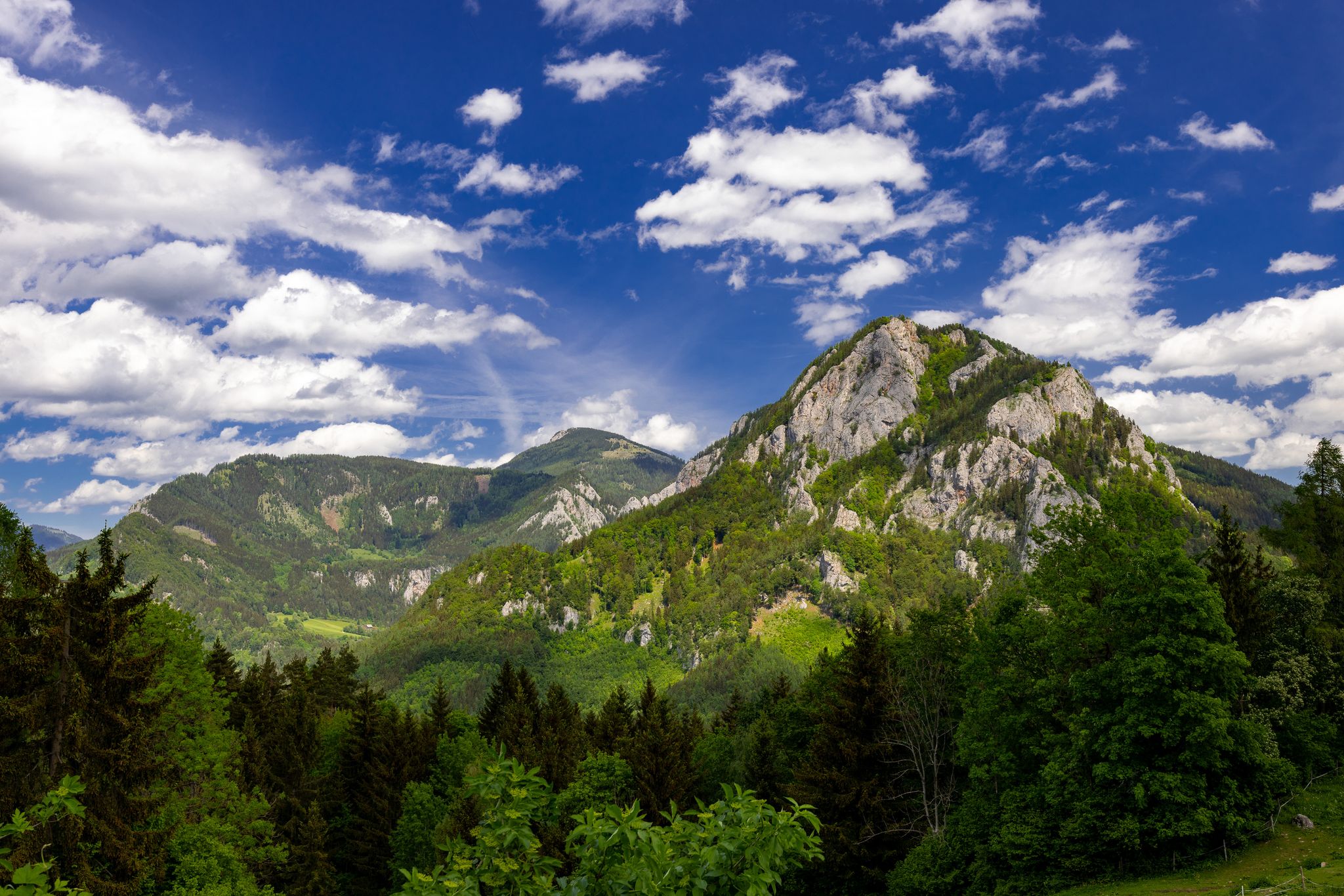
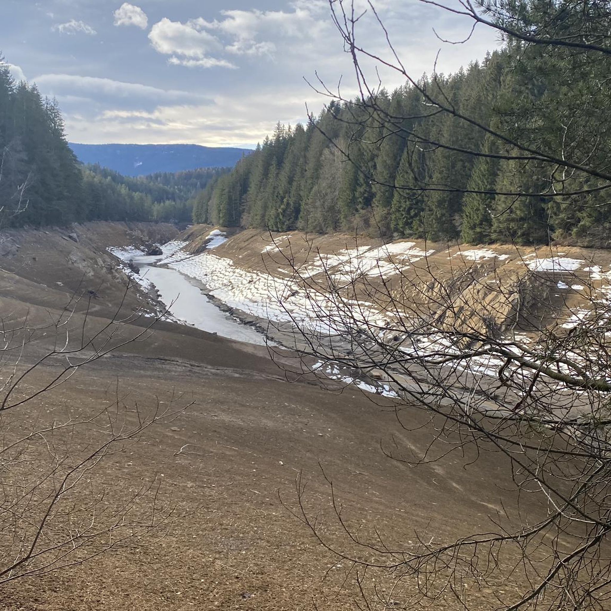
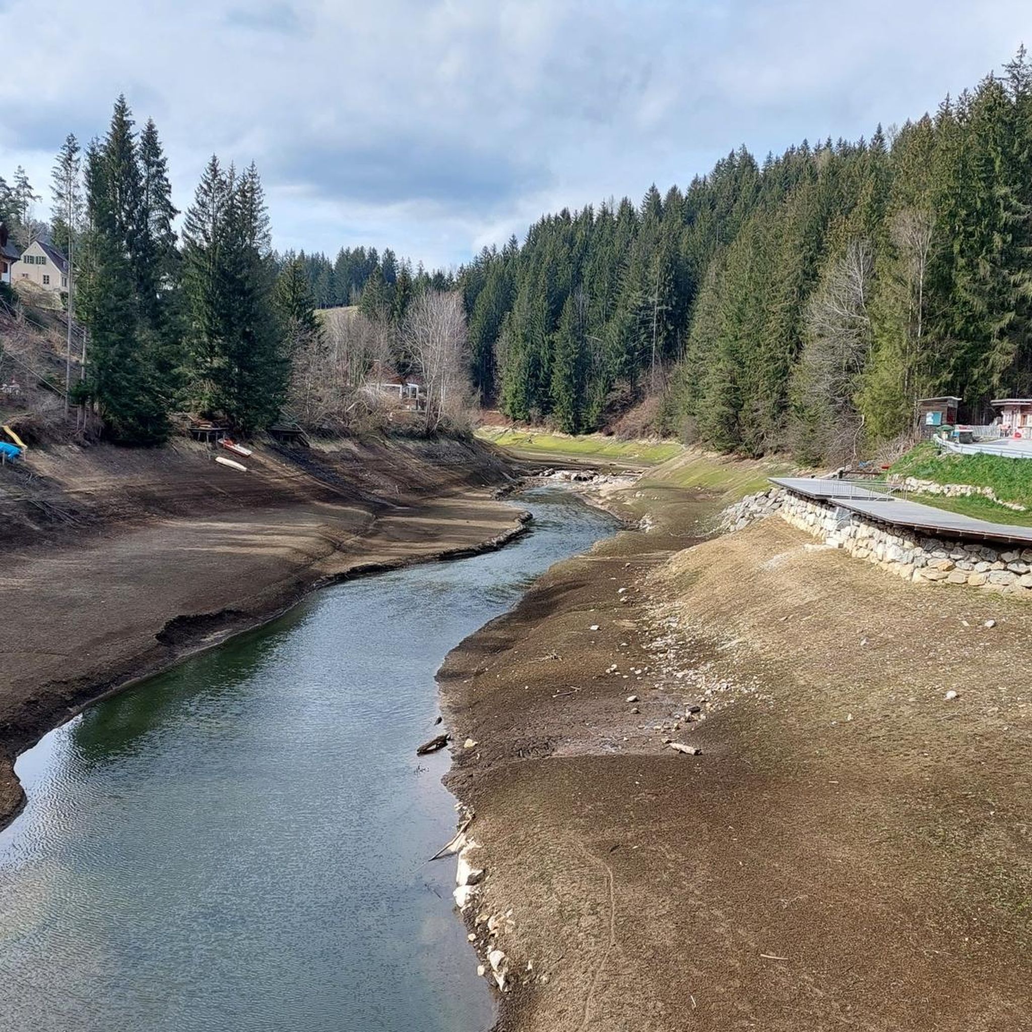

Other adventures around Edelschrott

Tips from the Community

I enjoyed some good mushroom goulash here.
0
0
Even though the Salzstiegelhaus and Altes Almhaus are not far away, you should bring some fruit for your summit picnic.
0
0

Very nice view from above.
0
0
Quite easy to reach on foot.
2
0
Nice to call and a very nice view.
2
0

Once here you can choose either a hiking trail through the forest or a forest path in the direction of Rappoldkogel. Both paths lead to the last steep climb on a mountain hiking trail. But it is better if you choose the hiking trail through the forest. The cows are too close to the fence in the evening (see photo).
4
0
Frequently Asked Questions
How many mountaineering routes are available around Edelschrott?
There are currently 6 mountaineering routes documented around Edelschrott, offering a range of experiences through the region's diverse landscapes. All routes are rated as moderate in difficulty.
Are there any circular mountaineering routes in Edelschrott?
Yes, several routes around Edelschrott are designed as loops, allowing you to start and end at the same point. For example, you can explore the Gerti Gate – The Stone Guardian loop from Altes Almhaus, which is a 5.7-mile (9.2 km) trail, or the shorter The Stone Guardian loop from Hirschegger Sattel, covering 2.9 miles (4.6 km).
What kind of terrain can I expect on mountaineering routes near Edelschrott?
Mountaineering routes around Edelschrott traverse a diverse landscape characterized by high alpine terrain, dense forests, and prominent peaks. You'll encounter varied rock formations and natural features, offering a mix of challenging ascents and scenic paths.
What are some notable natural attractions or viewpoints along the mountaineering routes?
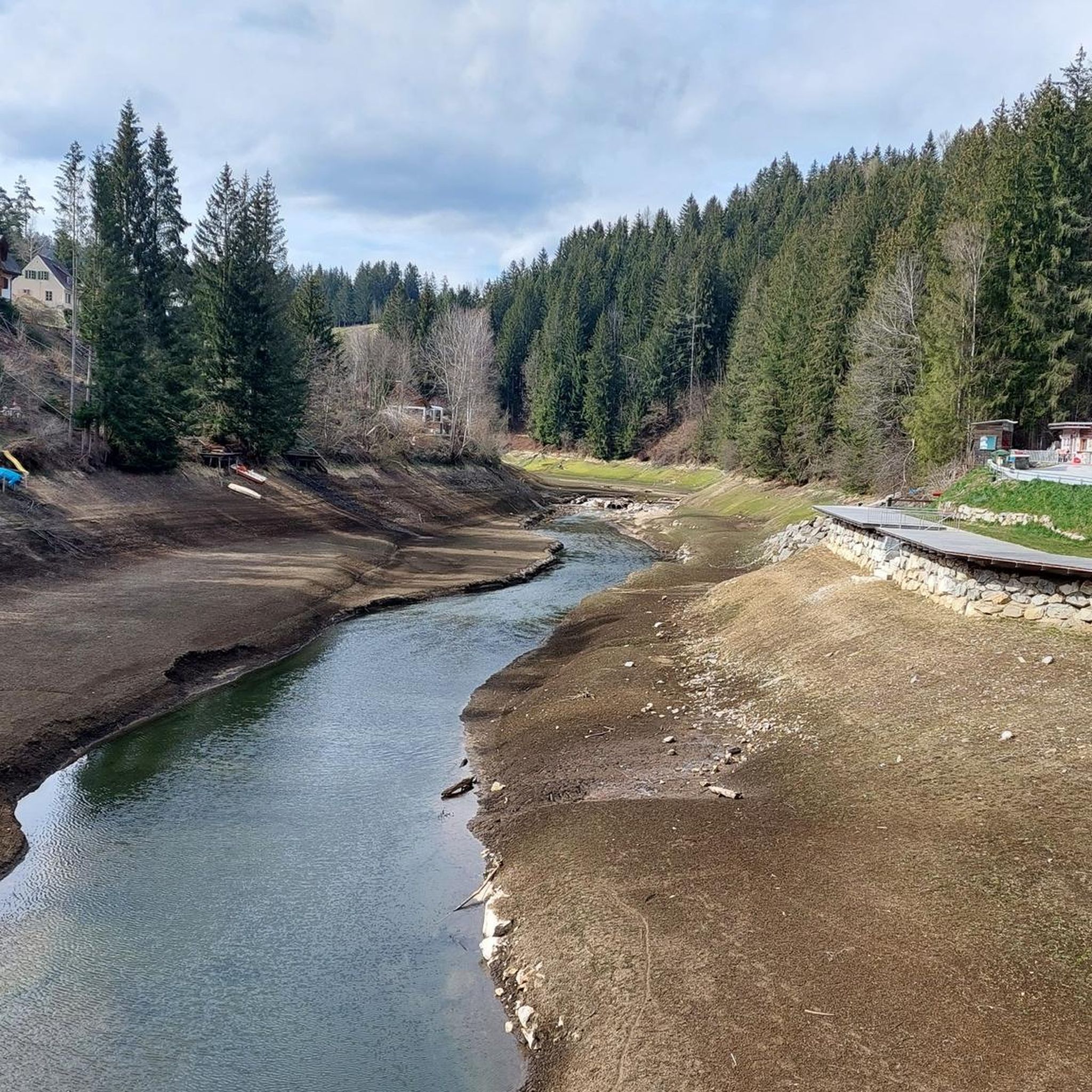
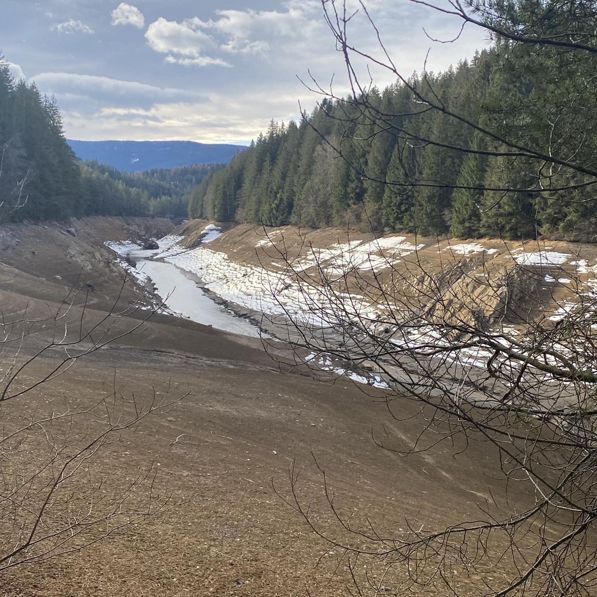
The region offers stunning natural features. You can reach the Rappoldkogel Summit, the highest peak of the Stubalm, offering panoramic views. Other notable points include the Handalm Summit and Wind Farm and the Sinnhuber Cross (Bärofen Summit Cross). The artificial lakes of Packer and Hirzmann also provide picturesque settings.
Are there any places to stop for refreshments or traditional snacks along the trails?
Yes, the rustic Knödel Hut, situated at an elevation of 1,407 meters within an idyllic alpine landscape, provides a place for hikers to enjoy traditional snacks and local specialties. It's a popular stop for many mountaineers in the area.
What is the best time of year for mountaineering in Edelschrott?
Edelschrott boasts stunning landscapes suitable for both summer and winter outdoor pursuits. While summer offers ideal conditions for hiking and climbing, the region also provides opportunities for winter activities like skiing and tobogganing in family ski areas such as Modriach-Winkel and St. Hemma.
Are there any family-friendly mountaineering options in the Edelschrott area?
While all listed mountaineering routes are rated as moderate, the region's diverse terrain offers paths suitable for various ability levels. For families, it's advisable to choose shorter, less strenuous loops like The Stone Guardian loop from Hirschegger Sattel, which is 2.9 miles (4.6 km) long, and ensure everyone is comfortable with the elevation gain.
What do other mountaineers enjoy most about the routes in Edelschrott?
The mountaineering routes in Edelschrott are highly rated by the komoot community, with an average score of 4.4 stars from 6 reviews. Mountaineers often praise the varied terrain, the prominent peaks like Rappoldkogel, and the scenic vistas offered by routes such as the Speikkogel – Ameringkogel loop from Hirschegger Sattel.
Where can I find parking or trailheads for mountaineering routes?
Many routes, such as The Stone Guardian loop and Speikkogel – Ameringkogel loop, start from Hirschegger Sattel, which is a common access point. The Gerti Gate – The Stone Guardian loop begins from Altes Almhaus. These locations typically offer parking facilities for hikers.
Are there any less crowded mountaineering routes or hidden gems in Edelschrott?
While the region is popular, exploring routes like the Peterer Riegel loop from Hirschegger Sattel, which is a 10 km trail, might offer a more secluded experience compared to the most popular options. The diverse network ensures there are always paths to discover away from the main crowds.
What is the typical duration for mountaineering routes in Edelschrott?
The duration of mountaineering routes in Edelschrott varies depending on the trail. For instance, the The Stone Guardian loop from Hirschegger Sattel can be completed in about 2 hours 15 minutes, while the longer Speikkogel – Ameringkogel loop from Hirschegger Sattel typically takes around 4 hours 56 minutes.
Most popular routes around Edelschrott
Most popular attractions around Edelschrott

Get inspired with the komoot mobile app


Explore more
Browse the best Mountain Hikes & Routes in other regions.
