The best mountain hikes around Reigoldswil
5.0
(2)
11
hikers
8
hikes
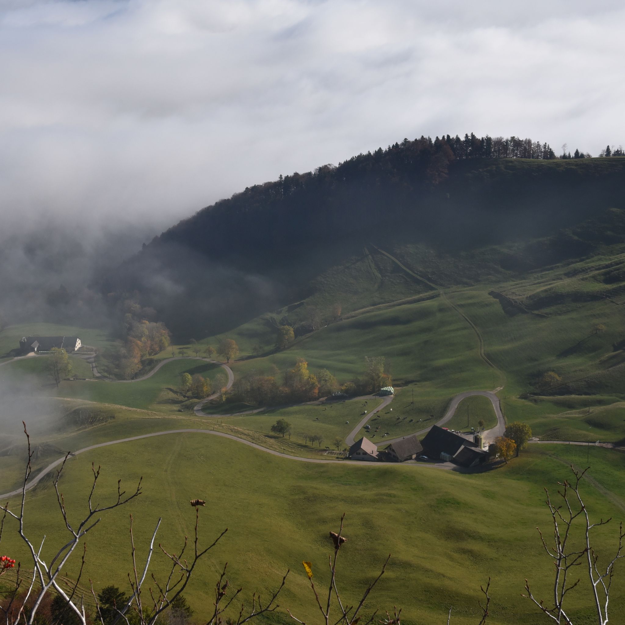
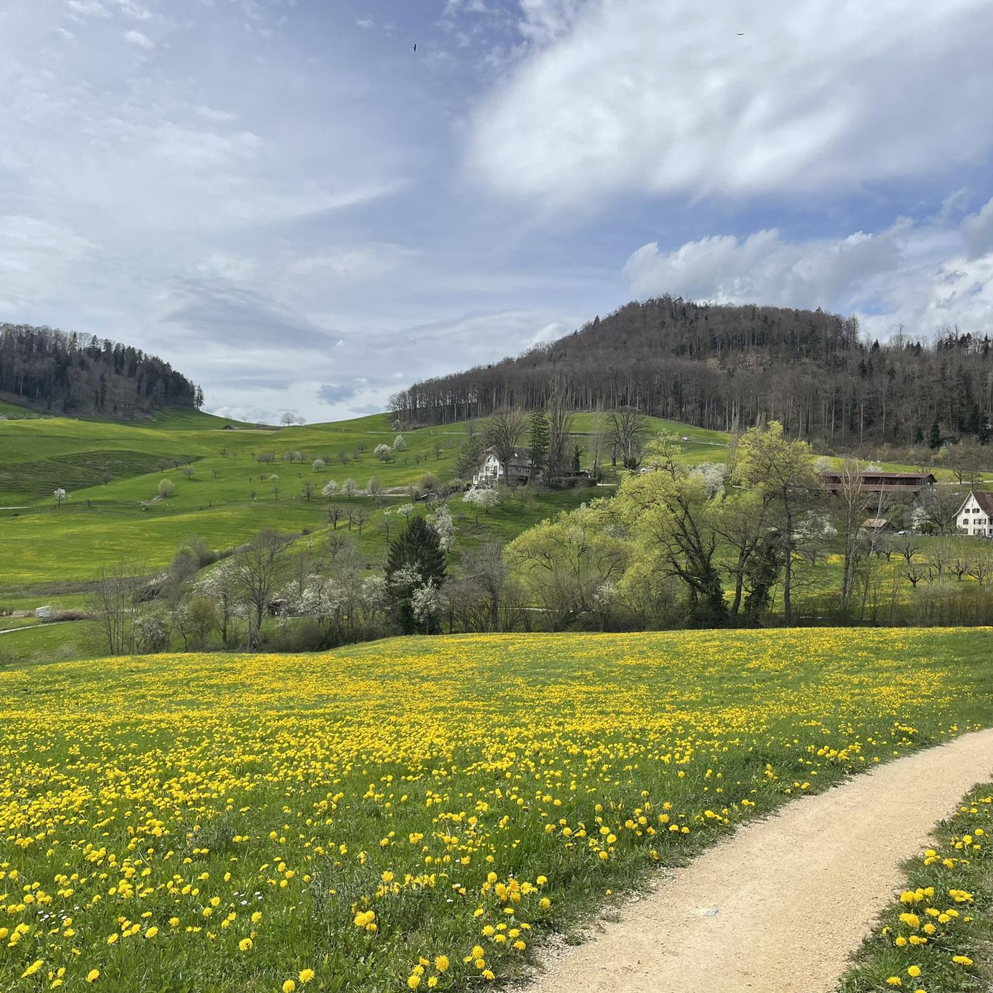
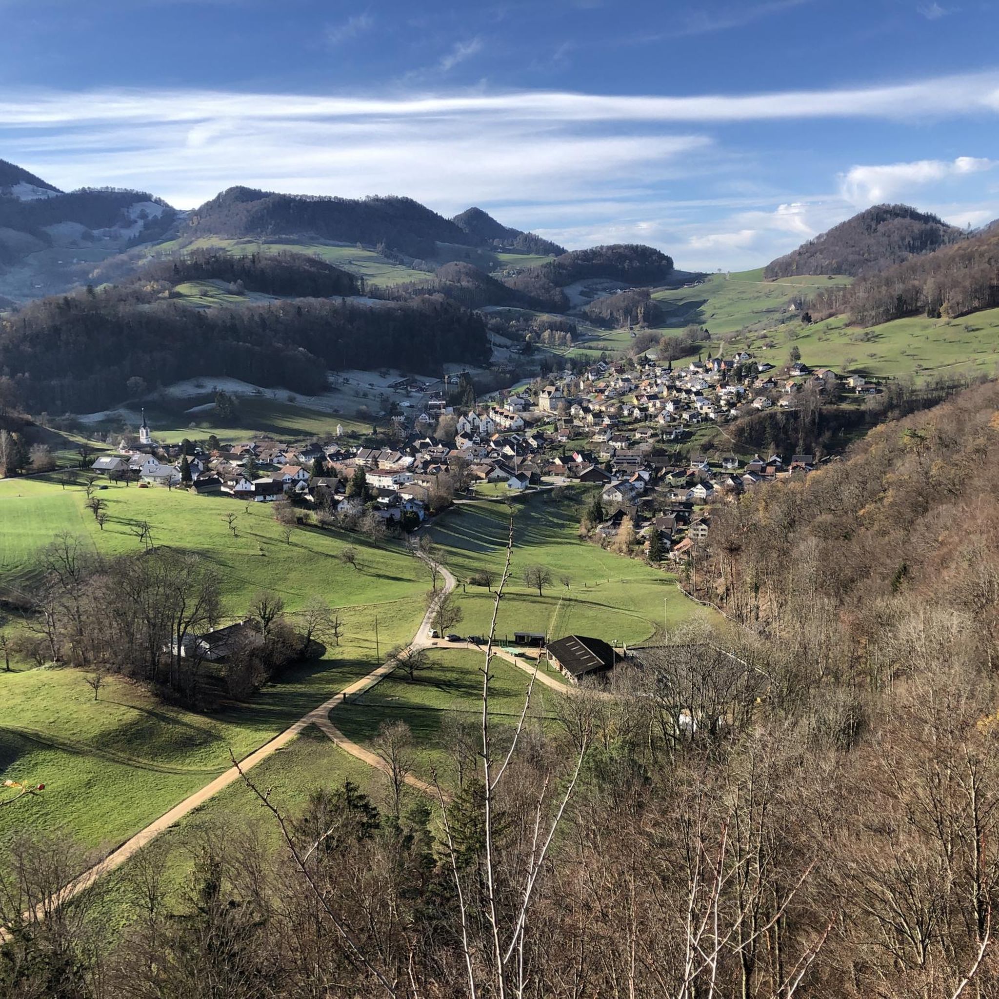
Mountaineering routes around Reigoldswil are situated in the Jura mountains, at the end of the Frenke valley, offering diverse natural features. The region is characterized by expansive green hills, idyllic forests, and meadows, providing panoramic views of the unique Jura countryside. On clear days, snow-covered Alpine peaks, the Vosges Mountains, and the Black Forest are visible from higher elevations.
Best mountaineering routes around Reigoldswil
- The most popular mountaineering route is Roggenflue Viewpoint – Ruins of Neu-Falkenstein Castle loop from Thalbrücke, a 10.3 miles (16.5 km) trail that takes about 5 hours 20 minutes to complete. This difficult route offers views from Roggenflue and passes the historic Rifenstein Ruins.
- Another top favourite among local mountaineers is Ruins of Neu-Falkenstein Castle – Roggenschnarz loop from Holderbank SO, a moderate 9.0 miles (14.5 km) path. This route explores the area around the historic castle ruins and offers varied terrain.
- Local mountaineers also love the Chilchzimmersattel – Belchenflue Summit Viewpoint loop from Langenbruck, a 7.0 miles (11.2 km) trail leading through the Jura landscape to the Belchenflue Summit Viewpoint, often completed in about 3 hours 30 minutes.
- Mountaineering around Reigoldswil is defined by its Jura mountain setting, panoramic viewpoints like Hohe Winde and Belchenflue, and diverse forests. The network offers options for moderate to difficult routes, catering to various ability levels.
- The routes in Reigoldswil are highly rated by the komoot community with an average score of 5.0 stars from 2 reviews. Nearly 20 mountaineers have used komoot to explore Reigoldswil's varied terrain.
Last updated: May 25, 2026
2
hikers
Hard mountaineering route. Very good fitness required. Sure-footedness, sturdy shoes and alpine experience required.
2
hikers
Moderate mountaineering route. Good fitness required. Mostly accessible paths. Sure-footedness required.

Sign up for free
5.0
(1)
3
hikers
11.2km
03:29
410m
410m
Moderate mountaineering route. Good fitness required. Mostly accessible paths. Sure-footedness required.
2
hikers
4.88km
01:40
200m
210m
Moderate mountaineering route. Great for any fitness level. Mostly accessible paths. Sure-footedness required.
3
hikers
13.1km
04:01
430m
430m
Moderate mountaineering route. Good fitness required. Easily-accessible paths. Suitable for all skill levels.
Get access to more routes and recommendations from other explorers.
Sign up for free
Already have an account?
Our route recommendations are based on thousands of hikes, rides, and runs completed by other people on komoot.
Start today with a free account
Your next adventure awaits.
Login or Signup
Tips from the Community

The Glögglifels is a striking rock formation above Laufen (BL) in the Jura Mountains. It lies on the hiking trail towards the Blauenpass and offers a beautiful view into the Birs Valley. The name likely derives from its bell-like shape or a former bell-ringing site.
5
0
The Glögglifels is a striking rock formation above Zwingen in the Laufental valley. It offers a beautiful view over the Birstal valley and is a popular viewpoint for short hikes. Legends and the name itself lend the place a mystical character.
7
0

Beautiful mountain lodge as a good starting point for a hike across the Belchenflue.
2
0

Ideal resting place with fire pit: carry barbecue food in your backpack!
1
0

A challenging pass in the Tafeljura, the climb is made up of a small road with a maximum gradient of 15% and little traffic. The scenery is very scenic, with magnificent panoramas along the way.
1
1

A brief look back and relics of history. Some information boards along the way describe the events of that time and provide good background information.
1
0

Chamois can often be seen at this spot.
0
0

You have to earn the beautiful view from the 689 meter high Eggflue, because the approaches are challenging from all sides.
0
0
Frequently Asked Questions
What kind of terrain can I expect on mountaineering routes around Reigoldswil?
The mountaineering routes around Reigoldswil are set in the Jura mountains, offering a diverse landscape of expansive green hills, idyllic forests, and meadows. You'll encounter varied terrain, from challenging ascents to more moderate paths, often providing panoramic views of the unique Jura countryside.
Which mountaineering routes offer the best panoramic views in Reigoldswil?
For breathtaking views, consider routes that lead to prominent summits. The Chilchzimmersattel – Belchenflue Summit Viewpoint loop from Langenbruck takes you to the Belchenflue Summit Viewpoint, known for its expansive vistas. On clear days, you might even spot snow-covered Alpine peaks, the Vosges Mountains, and the Black Forest from higher elevations like the Hohe Winde Summit.
Are there any routes that pass by historical sites or ruins?
Yes, several routes incorporate historical elements. The Roggenflue Viewpoint – Ruins of Neu-Falkenstein Castle loop from Thalbrücke passes by the historic Rifenstein Ruins. Another option is the Ruins of Neu-Falkenstein Castle – Roggenschnarz loop from Holderbank SO, which explores the area around the historic castle ruins.
Can I find waterfalls or gorges along the mountaineering trails?
Absolutely. The region is known for its captivating natural features. The Tüfels Gorge (Devil's Gorge) is a notable attraction with rushing waterfalls and moss-covered rocks, and the Chastelbach Waterfall is another beautiful spot. While not directly on a mountaineering route listed here, these natural wonders are often accessible via nearby hiking trails.
What is the general difficulty level of mountaineering routes in Reigoldswil?
The mountaineering routes around Reigoldswil cater to a range of abilities. You'll find a good selection of moderate routes, which make up the majority, alongside some more difficult options. These routes require good physical condition and sure-footedness, with the most demanding sections potentially requiring alpine experience.
Are there any circular mountaineering routes available?
Yes, many of the mountaineering routes in Reigoldswil are designed as loops, allowing you to start and end at the same point. Examples include the Roggenflue Viewpoint – Ruins of Neu-Falkenstein Castle loop from Thalbrücke and the Chilchzimmersattel – Belchenflue Summit Viewpoint loop from Langenbruck.
What do other mountaineers enjoy most about the routes in Reigoldswil?
The mountaineering routes in Reigoldswil are highly rated by the komoot community, with an average score of 5.0 stars. Reviewers often praise the diverse terrain, the stunning panoramic views from summits like Belchenflue, and the opportunity to explore both natural beauty and historical sites.
How many mountaineering routes are available in the Reigoldswil area?
There are 8 distinct mountaineering routes available around Reigoldswil, offering a variety of distances and difficulty levels to explore the Jura mountains.
Are there any shorter, moderate mountaineering options for a quicker trip?
Yes, if you're looking for a shorter, moderate option, consider the Schneelochberg – Schellenberg loop from Belchenflue. This route is approximately 4.7 kilometers (2.9 miles) long and can be completed in about 1 hour 30 minutes, offering a pleasant experience without requiring a full day.
What is the longest mountaineering route in this guide?
The longest mountaineering route featured is the Roggenflue Viewpoint – Ruins of Neu-Falkenstein Castle loop from Thalbrücke. This challenging trail spans approximately 16.5 kilometers (10.3 miles) and typically takes around 5 hours and 20 minutes to complete.
Can I reach the trailheads using public transport?
Reigoldswil is well-connected, and the Wasserfallen cable car provides access to a popular starting point for many hikes. While specific public transport details for each trailhead are not provided here, the region generally offers good accessibility, making it possible to reach various starting points without a car.
Are there any castle ruins or historical landmarks to see on the routes?
Yes, the region is rich in history. You can explore the area around the historic Ruins of Neu-Falkenstein Castle on routes like the Ruins of Neu-Falkenstein Castle – Roggenschnarz loop from Holderbank SO. Additionally, the Pfeffingen Castle Ruins – Eggflue Viewpoint loop from Aesch BL offers another opportunity to visit historical ruins.
Most popular routes around Reigoldswil
Most popular attractions around Reigoldswil

Get inspired with the komoot mobile app


Explore more
Browse the best Mountain Hikes & Routes in other regions.
