The best mountain hikes around Savognin
5.0
(1)
8
hikers
3
hikes
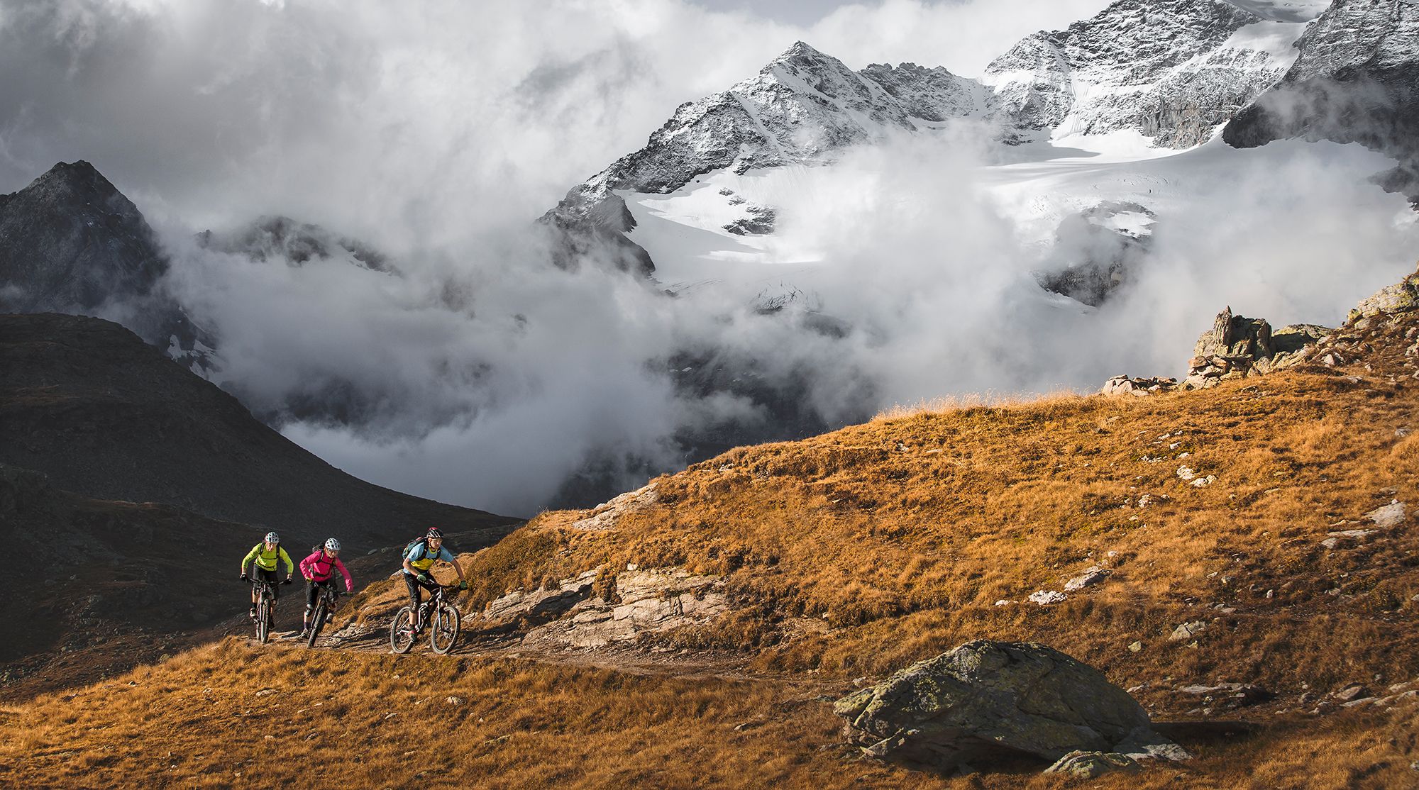
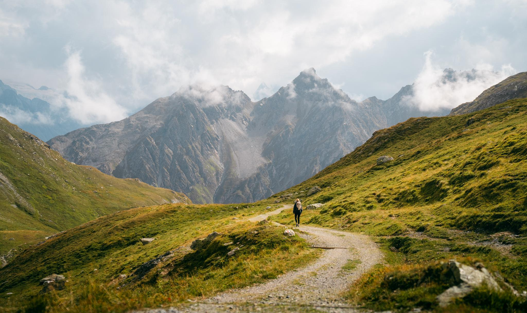
Mountaineering around Savognin offers diverse alpine experiences within the Grisons region of Switzerland. The area is characterized by its high mountain peaks, deep valleys, and clear alpine lakes, providing a challenging yet rewarding environment for mountaineers. Routes often feature significant elevation changes, traversing rocky terrain, alpine meadows, and occasionally forested sections. This landscape provides a variety of options for exploring the natural beauty of the Swiss Alps.
Best mountaineering routes around Savognin
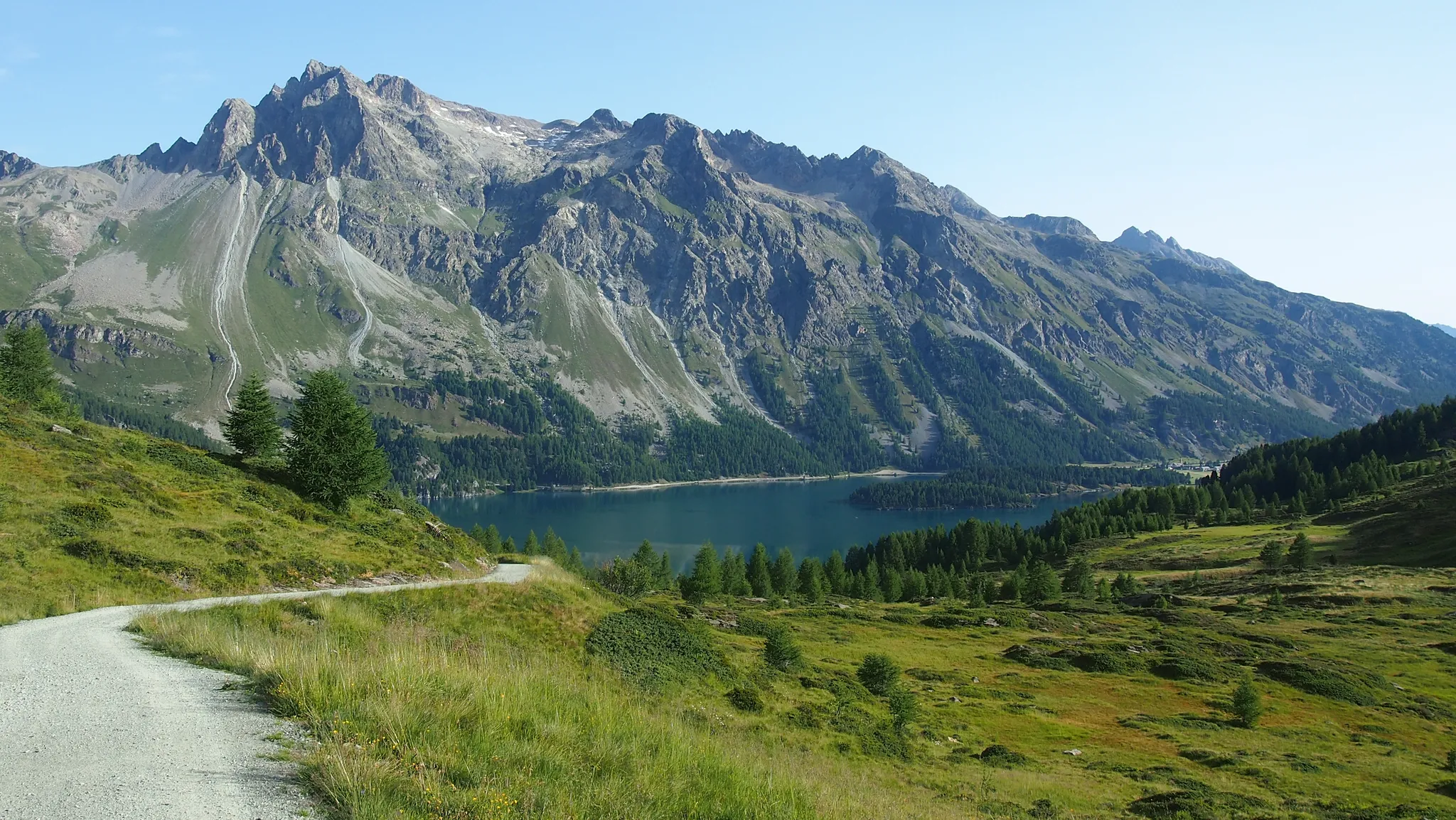
- The most popular mountaineering route is Lake With Mountain Reflection loop from Albula, a 8.4 miles (13.5 km) trail that takes approximately 7 hours to complete. This difficult route features significant elevation gain and panoramic views of a mountain lake.
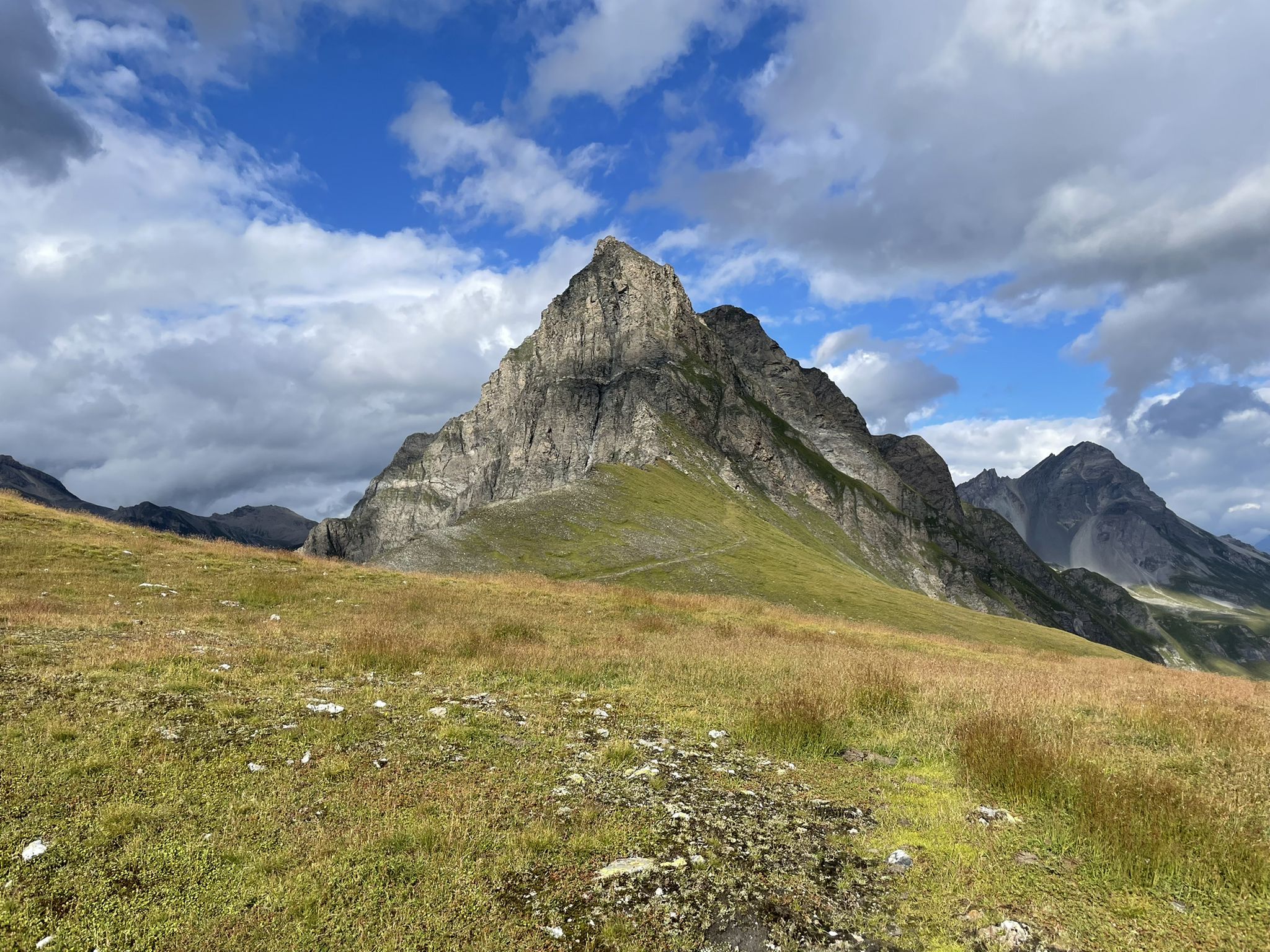
- Another top favourite among local mountaineers is Below Piz Bov loop from Somtgant, a moderate 5.3 miles (8.5 km) path. This route traverses alpine meadows and offers views of Piz Bov.
- Local mountaineers also love the Below Piz Bov loop from Steil Alva, a 7.3 miles (11.7 km) trail leading through alpine terrain with consistent ascents, often completed in about 5 hours.
- Mountaineering around Savognin is defined by high mountain passes, alpine lakes, and challenging ascents. The network offers options for different ability levels, from moderate paths to difficult, high-altitude routes.
- The routes in Savognin are highly rated by the komoot community with an average score of 5.0 stars from over 1 review. More than 8 mountaineers have used komoot to explore Savognin's varied terrain.
Last updated: July 6, 2026
4
hikers
13.6km
06:59
1,120m
1,120m
Hard mountaineering route. Very good fitness required. Sure-footedness, sturdy shoes and alpine experience required.
5.0
(1)
2
hikers
8.68km
03:18
530m
530m
Moderate mountaineering route. Good fitness required. Mostly accessible paths. Sure-footedness required.

Sign up for free
2
hikers
11.9km
05:02
780m
780m
Hard mountaineering route. Very good fitness required. Mostly accessible paths. Sure-footedness required.
Our route recommendations are based on thousands of hikes, rides, and runs completed by other people on komoot.
Start today with a free account
Your next adventure awaits.
Login or Signup
Popular around Savognin
Great heights from Chur to Tirano with your mountain bike & post bus
Quiet villages, proud passes, impressive history – the Via Sett
The Colors of Engadin - Senda Segantini
Spectacular nature park in Graubünden – Val Surses to Safiental
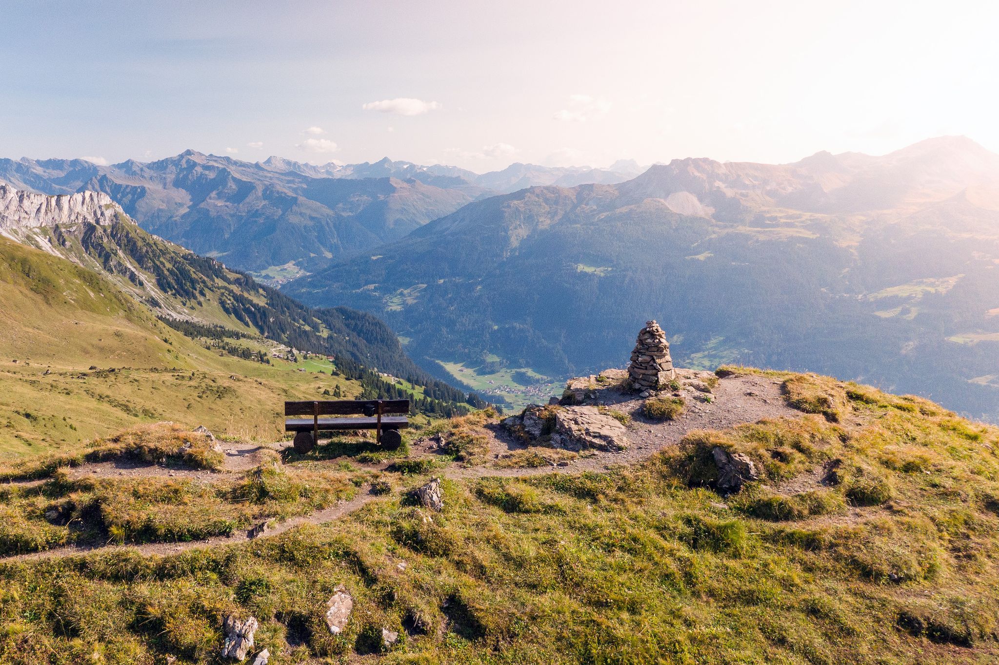
Long-distance hiking in the Grisons — 3 routes in Switzerland
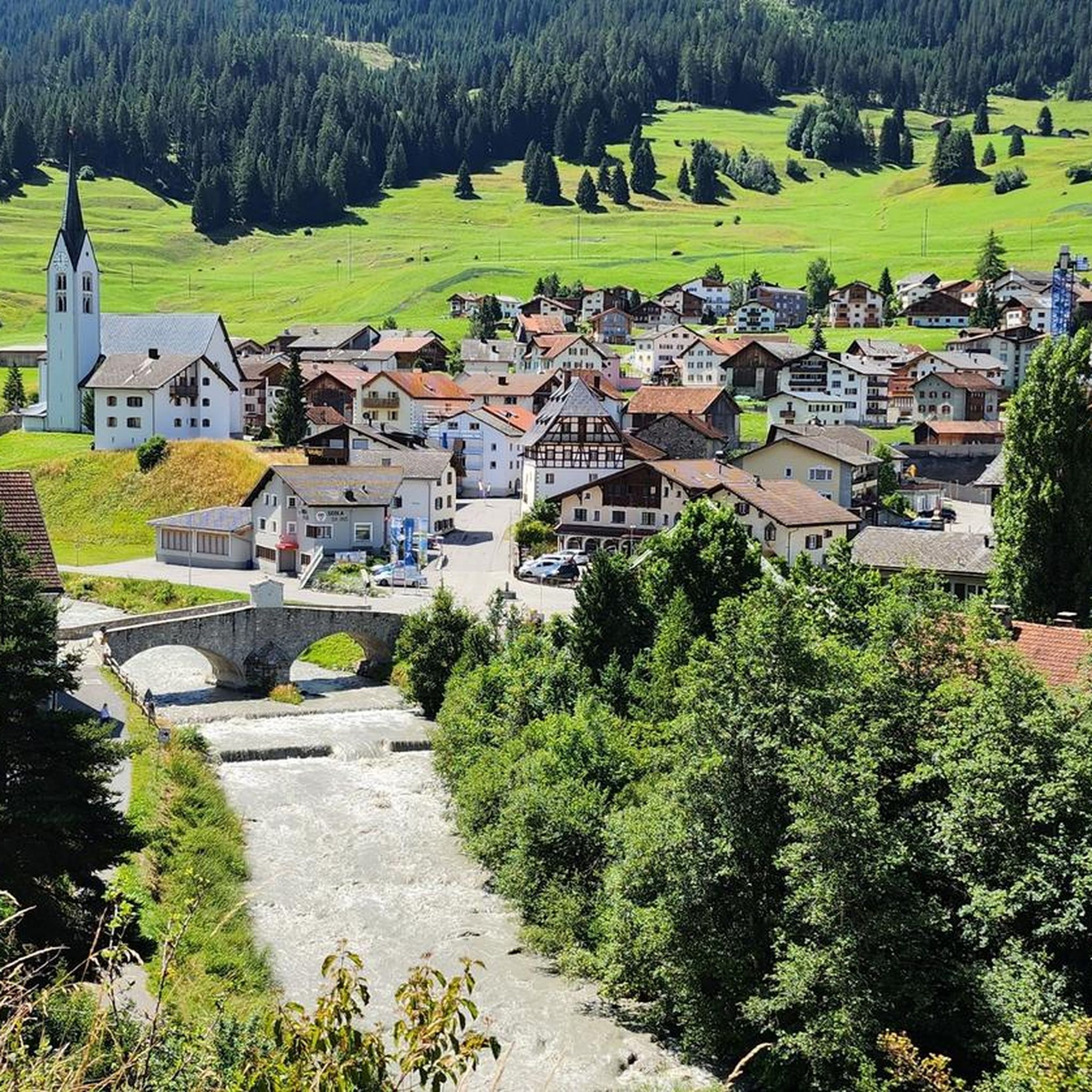
Road Cycling Routes around Savognin
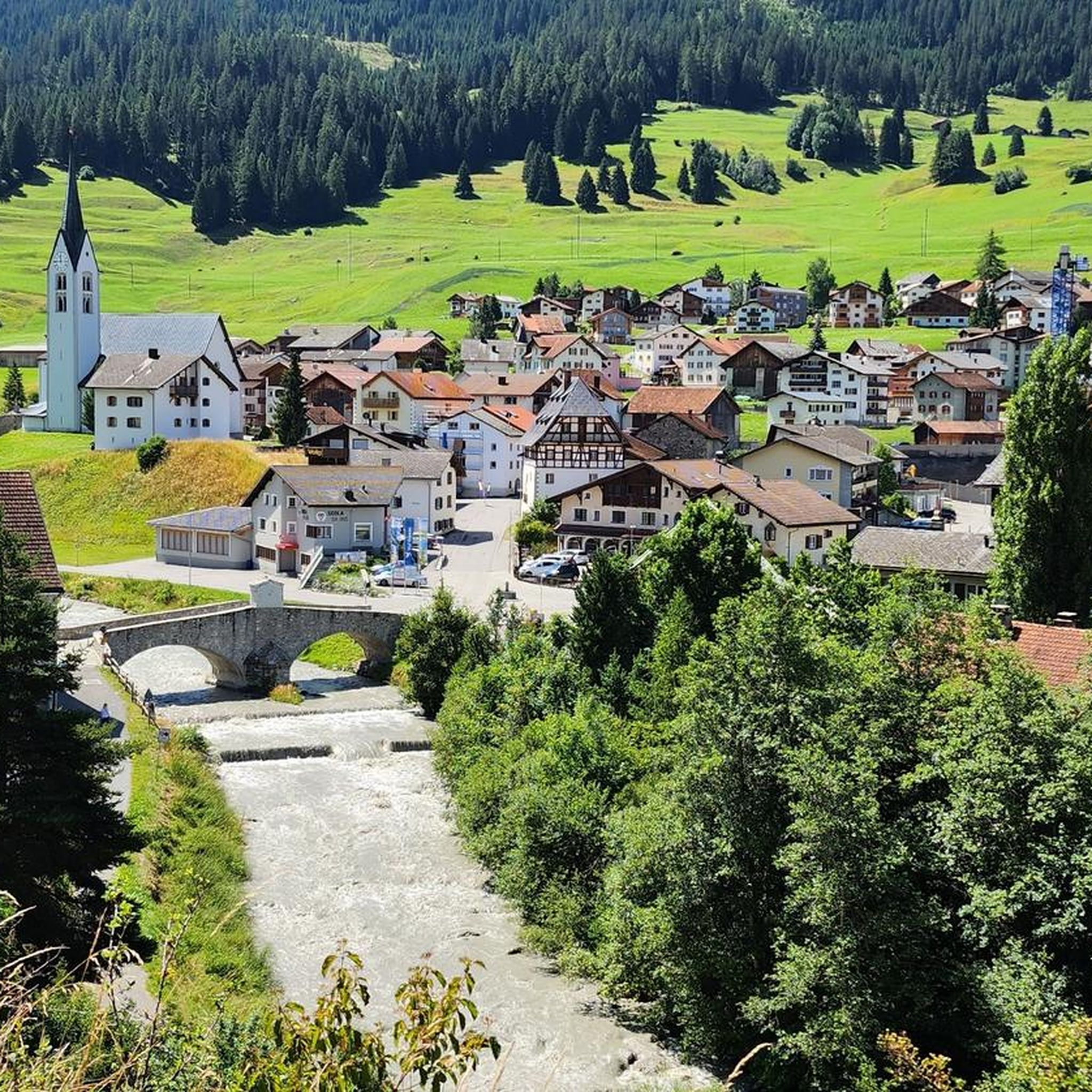
MTB Trails around Savognin
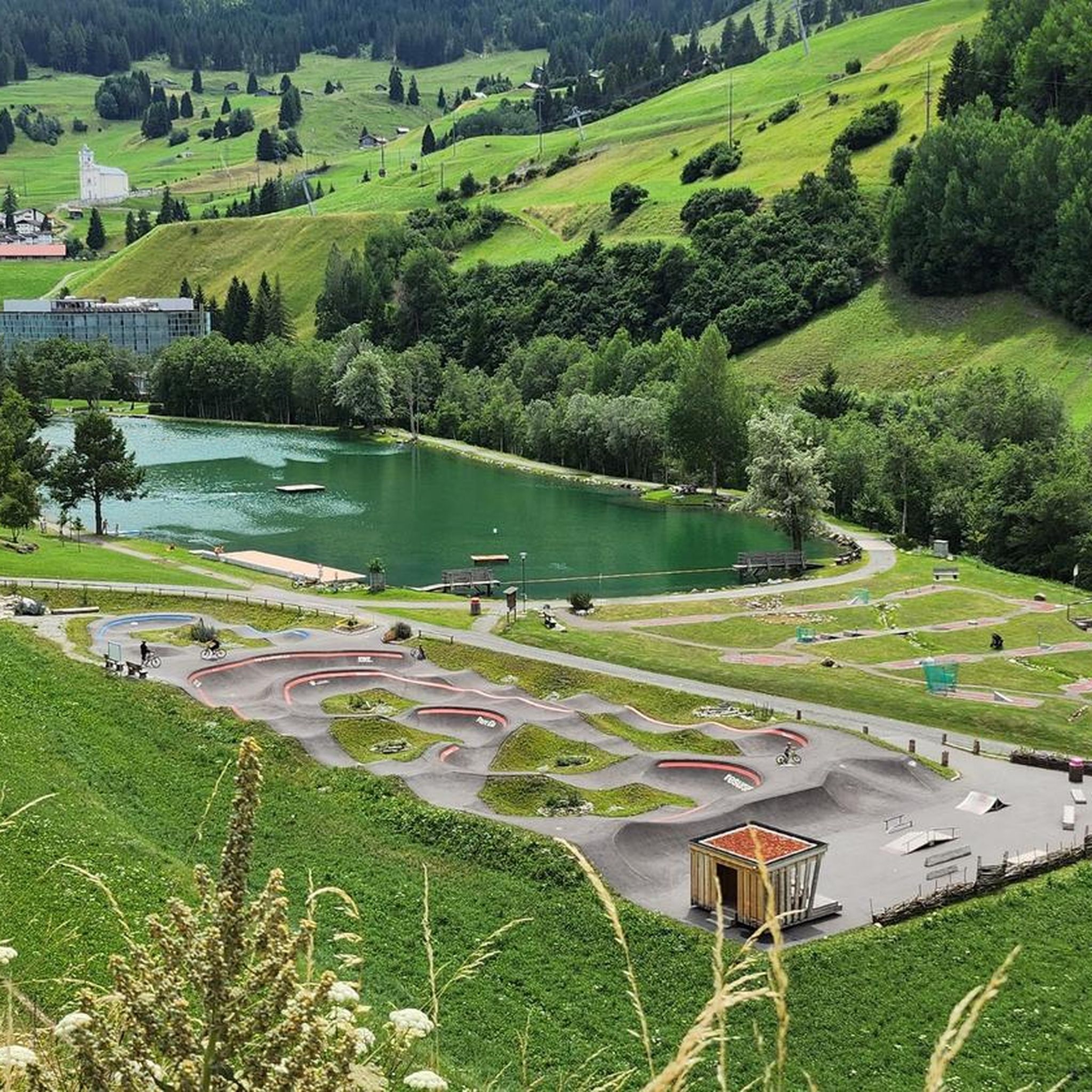
Hiking around Savognin
Cycling around Savognin
Running Trails around Savognin
Other adventures around Savognin


Tips from the Community

A pleasant walk from the mountain railway to a great viewpoint 🤩
0
0

A tough ascent and descent (from Filisur to Savognin). Impressive scenery.
0
0

The Alpbeizli is located near the Somtgant cable car station in Savognin and offers homemade cakes and light meals. Next door, the Tgamon hut, located at 2200 m, is an old barn with a glass roof that allows you to observe the starry sky and local wildlife, such as marmots and deer. The guesthouse offers a room with a double bed, pillows and wool blankets, but no shower. You can book activities with the shepherd in the morning, such as visiting the cows. Open from the end of June to mid-October. Payment is cash only.
2
1

Picturesque, small mountain lake below the Pass d'Ela.
0
0

Alp Somtgant, Savognin A haystack with a view of the stars through the glass roof: This is the Tgamon on Alp Somtgant above Savognin. The expanded hay barn is located at 2200 m above sea level. M. and offers a unique view over the valley and the Piz Mitgel, Orgelspass, Ela and Piz D’Err mountain ranges. In the evenings you can watch marmots with a glass of wine and chirping crickets and, with a bit of luck, you can even see deer grazing below the alp. Hay used to be stored in the Tgamon. In order to be able to make hay early in the morning, the Tgamon served as temporary accommodation for the farmers. Text / Source: Tourism Savognin Bivio Albula AG, Stradung 42, 7460 Savognin https://www.valsurses.ch/de/alphuette-tgamon-somtgant
12
0

As far as the months from mid-May to mid-June are concerned, the Blümliweg is the best
0
0

Super slopes blue and red. fun for everyone.
1
0

It's easy to walk up here - and enjoy a great view from above! The paths are supply paths for the lift station located above (out of service in summer), so the path is easy to walk.
1
0
Frequently Asked Questions
How many mountaineering routes are available around Savognin?
Komoot currently lists 3 mountaineering routes around Savognin. These routes offer a range of experiences, from moderate to difficult, allowing you to explore the diverse alpine landscape of the Grisons region.
What kind of terrain can I expect on mountaineering routes in Savognin?
Mountaineering routes in Savognin typically feature significant elevation changes, traversing rocky terrain, alpine meadows, and occasionally forested sections. You'll encounter high mountain peaks, deep valleys, and clear alpine lakes, providing a challenging yet rewarding environment.
Are there any easy mountaineering routes near Savognin?
The mountaineering routes listed around Savognin are generally classified as moderate to difficult, reflecting the alpine nature of the region. There are currently no routes specifically categorized as easy for mountaineering in this selection.
What are the options for moderate mountaineering in Savognin?
For moderate mountaineering, you can explore routes like the Below Piz Bov loop from Somtgant, which is 5.3 miles (8.5 km) long and traverses alpine meadows. Another moderate option is the Below Piz Bov loop from Steil Alva, a 7.3 miles (11.7 km) trail with consistent ascents.
Are there challenging mountaineering routes in Savognin?
Yes, for a more challenging experience, consider the Lake With Mountain Reflection loop from Albula. This difficult 8.4 miles (13.5 km) route features significant elevation gain and offers panoramic views of a mountain lake.
How long do mountaineering routes near Savognin typically take?
The duration of mountaineering routes in Savognin varies depending on the specific trail and your pace. For example, the moderate Below Piz Bov loop from Steil Alva typically takes around 5 hours, while the difficult Lake With Mountain Reflection loop from Albula can take approximately 7 hours.
Are there circular mountaineering routes around Savognin?
Yes, all the featured mountaineering routes around Savognin are designed as loops. This includes the Lake With Mountain Reflection loop from Albula, the Below Piz Bov loop from Somtgant, and the Below Piz Bov loop from Steil Alva, allowing you to start and end at the same point.
What is the best time of year for mountaineering in Savognin?
The best time for mountaineering in Savognin is typically during the warmer months, from late spring to early autumn (June to September), when trails are generally free of snow and weather conditions are more stable. Always check local weather forecasts and trail conditions before heading out.
What interesting sights can I see along the mountaineering routes in Savognin?
While on your mountaineering adventures, you might encounter various points of interest. Nearby attractions include the historic Ziteil Pilgrimage Chapel and several alpine huts like Chamanna Jenatsch and Alp Somtgant, which can offer stunning views and a place to rest.
Are there places to eat or stay near the mountaineering routes in Savognin?
Yes, the region around Savognin offers several alpine huts that can serve as resting points or overnight stays. Notable options include Chamanna Jenatsch, Alp Somtgant, and Berghaus Piz Platta. These often provide food and accommodation, but it's advisable to check their operating hours and make reservations in advance.
What do other mountaineers say about the routes in Savognin?
The mountaineering routes in Savognin are highly rated by the komoot community, with an average score of 5.0 stars from over 1 review. Mountaineers often praise the challenging ascents, panoramic views, and the pristine alpine environment of the Grisons region.
Where can I find parking for mountaineering trailheads in Savognin?
Specific parking information for each trailhead can often be found on the individual route pages on komoot. Generally, trailheads in alpine regions like Savognin have designated parking areas, though availability can vary. It's recommended to check local signage or municipal websites for detailed parking options.
Is public transport an option to reach mountaineering routes in Savognin?
Savognin and the surrounding Grisons region are generally well-served by public transport, including post buses, which can often take you to or near trailheads. Checking the local public transport schedules (e.g., SBB or PostBus Switzerland) for specific routes and stops is advisable to plan your journey effectively.
Most popular attractions around Savognin

Get inspired with the komoot mobile app


Explore more
Browse the best Mountain Hikes & Routes in other regions.
