The best walks and hikes in Granhammarsbrännan
3.0
(3)
35
hikers
6
hikes
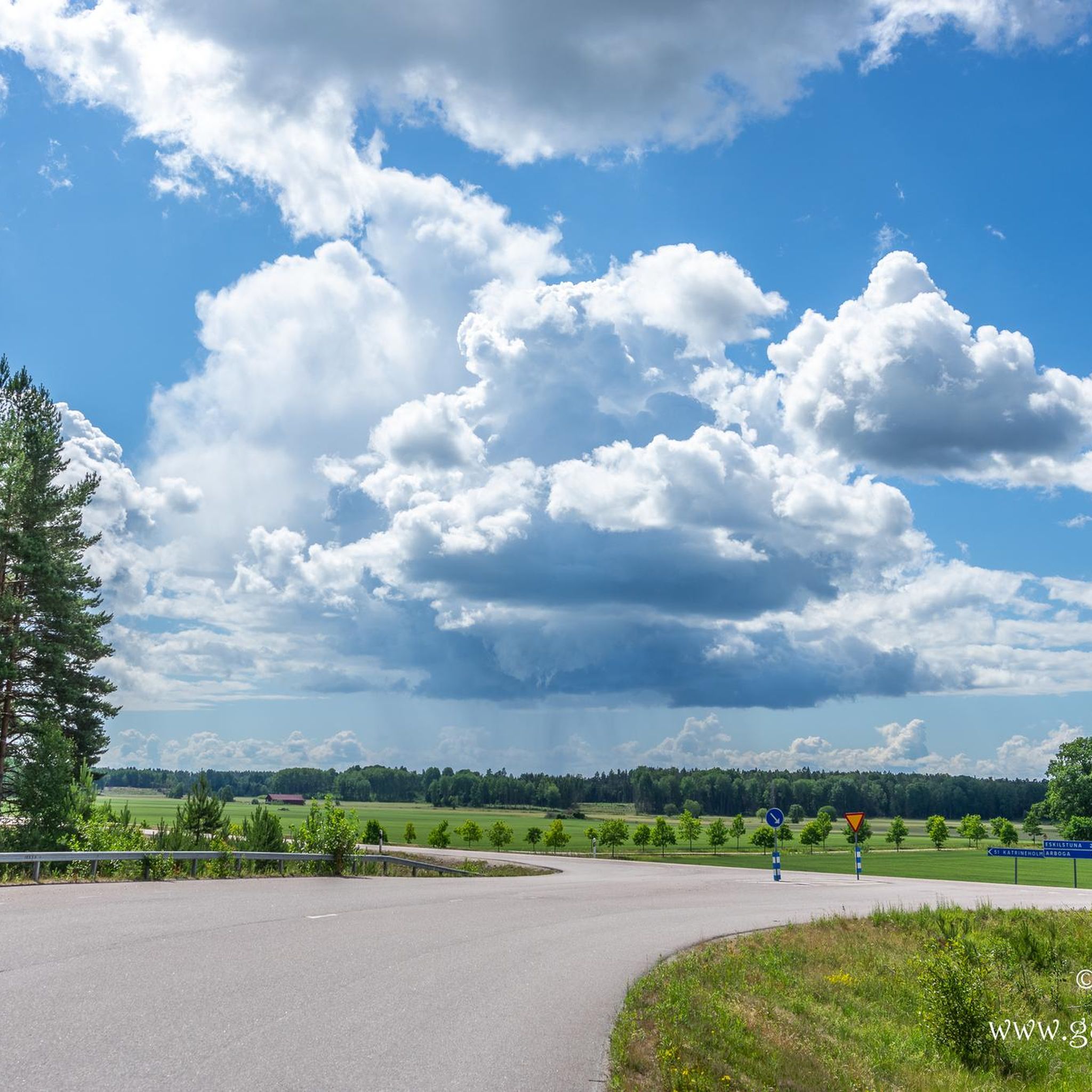
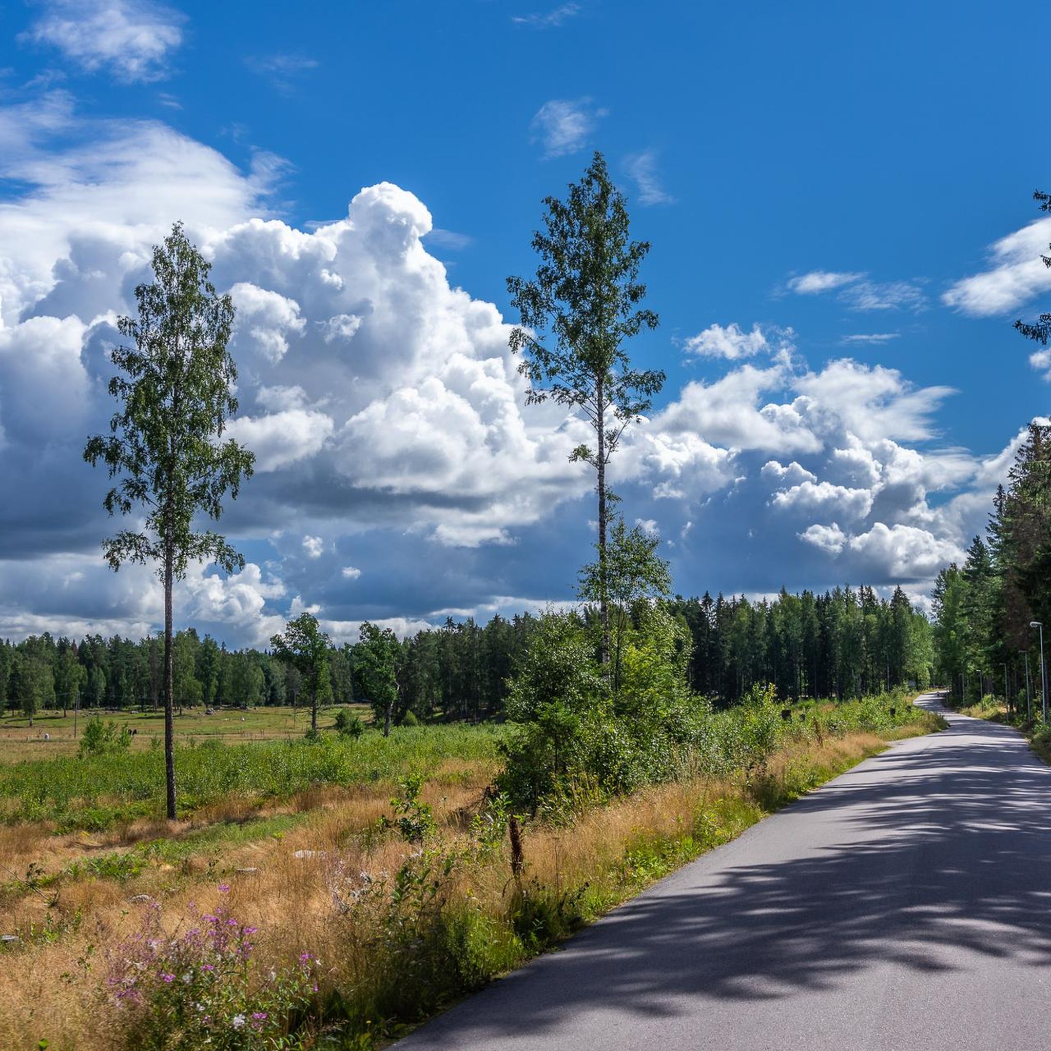
Hiking trails in Granhammarsbrännan offer a range of experiences within this natural area. The region features varied terrain, including gentle hills and areas near water, as indicated by route names like "Jägaråsen" and "Kungsör Marina." Elevations are generally low, providing accessible paths for different skill levels. The landscape primarily consists of woodlands and open areas, characteristic of the Västmanland region.
Best hiking trails in Granhammarsbrännan
- The most popular hiking route is Rundelborg – Jägaråsen loop from Kungsör, a 4.2…
Last updated: August 27, 2026
3.0
(2)
9
hikers
6.70km
01:46
60m
60m
Easy hike. Great for any fitness level. Easily-accessible paths. Suitable for all skill levels.
4
hikers
16.6km
04:16
80m
80m
Moderate hike. Good fitness required. Easily-accessible paths. Suitable for all skill levels.

Sign up for free
3.0
(1)
4
hikers
5.65km
01:28
40m
40m
Easy hike. Great for any fitness level. Easily-accessible paths. Suitable for all skill levels.
7
hikers
4.31km
01:10
60m
60m
Easy hike. Great for any fitness level. Easily-accessible paths. Suitable for all skill levels.
11
hikers
5.49km
01:29
80m
80m
Easy hike. Great for any fitness level. Easily-accessible paths. Suitable for all skill levels.
Our route recommendations are based on thousands of hikes, rides, and runs completed by other people on komoot.
Start today with a free account
Your next adventure awaits.
Login or Signup
Popular around Granhammarsbrännan
Tips from the Community

Lockmora Outdoor Recreation Centre is located south of Kungsör. You can top up your fresh water supplies here. There is a barbecue area and it is the starting point for walking trails.
1
0

Nice little marina in Kungsör near the campsite.
0
0
Frequently Asked Questions
What kind of landscape can I expect when hiking in Granhammarsbrännan?
Granhammarsbrännan offers a diverse and accessible landscape characteristic of the Västmanland region. You'll find a pleasant mix of extensive woodlands and open areas, with gentle hills and proximity to water features. The elevations are generally low, making the paths enjoyable for various skill levels.
How many hiking trails are available in Granhammarsbrännan?
There are 6 distinct hiking trails in Granhammarsbrännan. The network provides options for different abilities, with 5 easy and 1 moderate hiking trail available.
Are there any easy, family-friendly hiking options in Granhammarsbrännan?
Yes, Granhammarsbrännan is well-suited for families with several easy trails. For instance, the Rundelborg – Jägaråsen loop from Kungsör is an easy 6.7 km path that takes about 1 hour 46 minutes, exploring a mix of forested areas and open landscapes. Another great option is the Finnhäll – Vägge Hällar loop from Arboga flygplats, which is 4.3 km and typically takes around 1 hour 10 minutes.
Are there any longer, more challenging hikes in the area?
For those looking for a longer outing, the Kungsör Marina loop from Kungsör is a moderate 16.6 km path. This route offers scenic views near the marina and extends through the surrounding natural environment, typically taking around 4 hours 15 minutes to complete.
What do other hikers say about the trails in Granhammarsbrännan?
The trails in Granhammarsbrännan are generally well-regarded by the komoot community. Hikers often praise the varied terrain, which includes woodlands and open areas, and the accessible nature of the paths. The routes have an average rating of 3.0 stars, with many appreciating the peaceful natural environment.
Are there any circular routes available in Granhammarsbrännan?
Yes, many of the trails in Granhammarsbrännan are circular, offering convenient starting and ending points. Examples include the popular Rundelborg – Jägaråsen loop from Kungsör and the Rundelborg – Jägaråsen loop from Jägaråsen, both designed as loops through woodlands and open terrain.
What is the best time of year to go hiking in Granhammarsbrännan?
Granhammarsbrännan is enjoyable throughout the warmer months, from spring to autumn, when the trails are typically dry and the natural scenery is at its best. The low elevations and accessible paths make it suitable for hiking during these seasons. Winter hiking is also possible, but conditions may vary, and appropriate gear is recommended.
Are dogs allowed on the hiking trails in Granhammarsbrännan?
While specific regulations for Granhammarsbrännan are not detailed, generally in Swedish nature areas, dogs are welcome on trails but must be kept on a leash, especially during certain times of the year to protect wildlife. It's always best to check local signage for any specific rules within the reserve.
Are there any trails that start near Arboga?
Yes, there are trails accessible from the vicinity of Arboga. For instance, the Finnhäll – Vägge Hällar loop from Arboga flygplats and the Säbybergen loop from Arboga flygplats both offer easy hiking experiences starting from that area.
What kind of elevation changes can I expect on the trails?
The trails in Granhammarsbrännan are characterized by generally low elevations and gentle hills. For example, the Rundelborg – Jägaråsen loop from Kungsör has an elevation gain of about 55 meters, while the longer Kungsör Marina loop from Kungsör has an elevation gain of around 78 meters. This makes most paths accessible and not overly strenuous.

Get inspired with the komoot mobile app


Explore more
Browse the best Hikes in other regions.
