The best MTB trails in Marifjell Naturreservat
5.0
(1)
28
riders
3
rides
Mountain bike trails in Marifjell Naturreservat traverse a landscape characterized by old-growth forests, varied topography, and significant elevation changes. The reserve, established to preserve ancient forest and biodiversity, features spruce and birch woodlands, alongside mountain forest and swamp areas. Riders can expect both flat and gently undulating terrain, transitioning into demanding climbs and sharp descents towards higher elevations. Marifjell itself is the highest point in Nannestad municipality, reaching over 700 meters above sea level.
Best mountain bike trails in Marifjell…
Last updated: July 4, 2026
7
riders
62.4km
04:42
300m
300m
Moderate mountain bike ride. Good fitness required. Advanced riding skills necessary.
3
riders
63.0km
04:01
720m
720m
Moderate mountain bike ride. Good fitness required. Advanced riding skills necessary.

Sign up for free
5.0
(1)
9
riders
Hard mountain bike ride. Very good fitness required. Advanced riding skills necessary.
2
riders
49.9km
03:10
630m
630m
Moderate mountain bike ride. Good fitness required. Suitable for all skill levels.
6
riders
Easy mountain bike ride. Great for any fitness level. Suitable for all skill levels.
Our route recommendations are based on thousands of hikes, rides, and runs completed by other people on komoot.
Start today with a free account
Your next adventure awaits.
Login or Signup

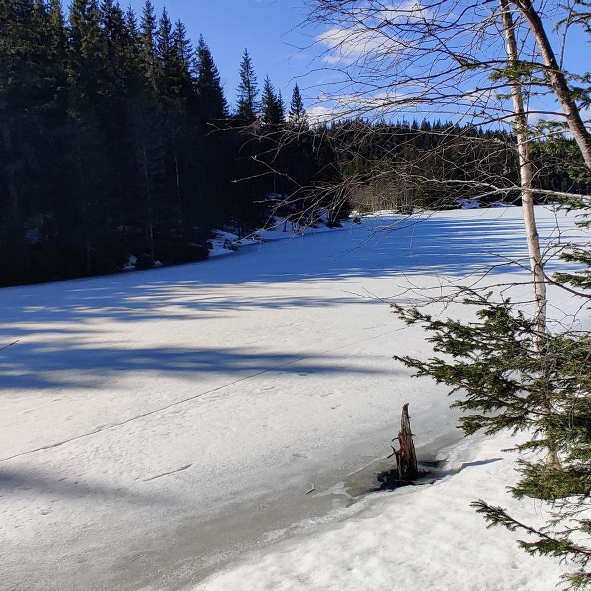
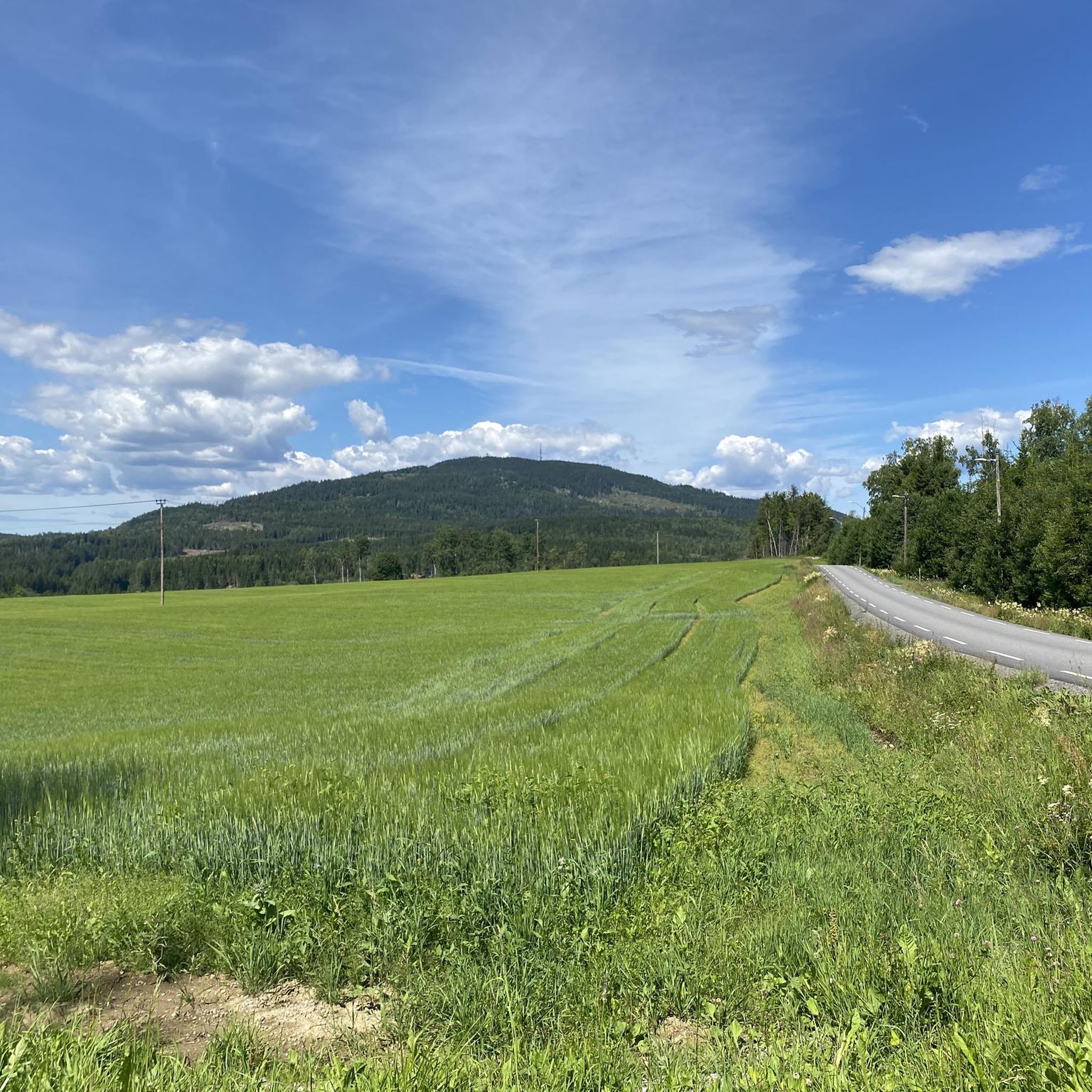
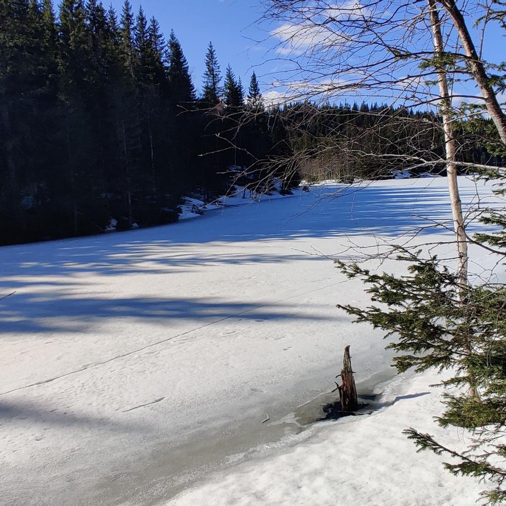
Tips from the Community

At the edge of Råholt Woods, you’ll find this barbecue area. It’s the perfect spot to enjoy some quality time together in the nature, just a stone’s throw from the town.
0
0
Råholt is a small town within the municipality of Eidsvoll. Its peaceful atmosphere makes it a delightful place to stroll through its streets, countryside and surrounding woodland. It is served by trains, buses and cycle paths.
0
0

From this location, you can stand close to the lake's shore and admire it from one of its most beautiful angles. Stay calm and watch the birds, especially the swans swimming on the lake.
0
0

The Aurmoen landskapsvernområde is a nature reserve north of Oslo Airport. Here you will find a car park that serves as the starting point for the many paths that criss-cross the area. As it borders a military base, you should check in advance whether any exercises are taking place. You can find the barracks' telephone number here: https://www.forsvaret.no/om-forsvaret/tjenestesteder/sessvollmoen.
0
0
The Aurmoen Landscape Conservation Area north of Oslo Airport is part of a larger network of protected areas in this region. It serves to protect various bird species. The ground is often sandy, which makes for soft but somewhat difficult going!
0
0

Consider stopping at Lien Hoa Dao Trang Buddhist Temple, the serene Lotus Temple serving the Vietnamese Buddhist community. Guided visits are often available – just contact the temple ahead for availability and schedules. Visitors are asked to dress modestly, arrive a few minutes early, remove shoes before entering, and observe quiet respect while inside.
0
0

You will spot this church if you go through the village of Bjørke. As is common with many rural churches, it acts as a useful landmark for navigation. Take the chance for a brief pause during your bike tour to observe the building and its setting before continuing on your way.
0
0
This bridge on the Nedre Granlivegen road goes across the Leira river. It serves as a functional crossing point while cycling on the quiet routes in the area. It's a good chance to take a break and enjoy a pleasant view of the river flowing below.
0
0
Frequently Asked Questions
How many mountain bike trails are available in Marifjell Naturreservat?
There are 5 mountain bike trails listed in Marifjell Naturreservat, offering a range of experiences through its diverse forest landscapes and varied topography.
What is the typical terrain like for mountain biking in Marifjell Naturreservat?
The terrain in Marifjell Naturreservat is varied, featuring old-growth forests, spruce and birch woodlands, and mountain forest areas. Riders can expect a mix of flat sections, gently undulating paths, and more demanding climbs and descents, especially towards higher elevations. Some routes include both paved and unpaved sections, with natural obstacles like roots and rocks common in forested areas.
Are there any difficult mountain bike routes in Marifjell Naturreservat?
While most routes are rated moderate, there is one difficult mountain bike route available: Bjørke Church – Bridge over the Leira River loop from Nannestad videregående skole. This route covers 65.0 km with significant elevation gain, making it suitable for experienced riders seeking a challenge.
What kind of views can I expect on the mountain bike trails?
Many trails offer scenic views, particularly as you gain elevation. The peak of Marifjell itself, at 717 meters, provides panoramic views of the surrounding landscape. The reserve also features several lakes like Lomtjern and Langvatn, and the Hegga river, adding tranquil waterscapes to the forested scenery.
Are there any long-distance mountain bike loops in the area?
Yes, Marifjell Naturreservat offers several longer loop trails. For example, the Korpehaugen – Stensetåsen loop from Kløvberget is 63.7 km long, and the Sandy forest trails – Nordbytjern Lake loop from Holkebylia covers 62.3 km, both providing extensive rides through the natural reserve.
What is the highest point I can reach by mountain bike in Marifjell Naturreservat?
Marifjell itself is the highest point in Nannestad municipality, reaching 717 meters above sea level. While specific routes may not go directly to the summit, trails in the reserve lead to higher elevations, offering rewarding climbs and views.
What do other mountain bikers say about the trails in Marifjell Naturreservat?
The mountain bike trails in Marifjell Naturreservat are highly rated by the komoot community, with an average score of 5.0 stars. Riders often praise the varied terrain, the beauty of the old-growth forests, and the challenging climbs that lead to rewarding views.
Are there any specific natural features or landmarks to look out for?
The reserve is known for its extensive old-growth forests and diverse tree species. You'll also encounter several lakes, including Lomtjern, Langvatn, and Kroktjern, as well as the Hegga river. The summit of Marifjell features a tourist cabin and a viewing tower, offering a historical landmark and excellent vantage point.
What are the regulations for mountain biking in Marifjell Naturreservat?
As a nature reserve established to preserve old-growth forest and biodiversity, Marifjell Naturreservat has specific regulations. While mountain biking is possible, it's advisable to verify local rules and designated trails to ensure compliance with conservation efforts and protect the pristine natural environment.
Is there a route that combines forest trails with lake views?
Yes, the Sandy forest trails – Nordbytjern Lake loop from Holkebylia is a moderate 62.3 km route that takes you through varied forest terrain and includes views of Nordbytjern Lake, offering a blend of woodland and waterside scenery.
What is a good moderate route for exploring the forest landscape?
The Gåfossen – Syltefossen loop from Bjørke kirke is an excellent moderate option. This 30.2 km trail offers a balanced ride through the varied forest landscape, including old-growth sections and diverse topography.
Most popular routes in Marifjell Naturreservat

Get inspired with the komoot mobile app


Explore more
Browse the best MTB trails in other regions.
