The best road cycling routes in Kleppefjell Naturreservat
5.0
(4)
50
riders
3
rides
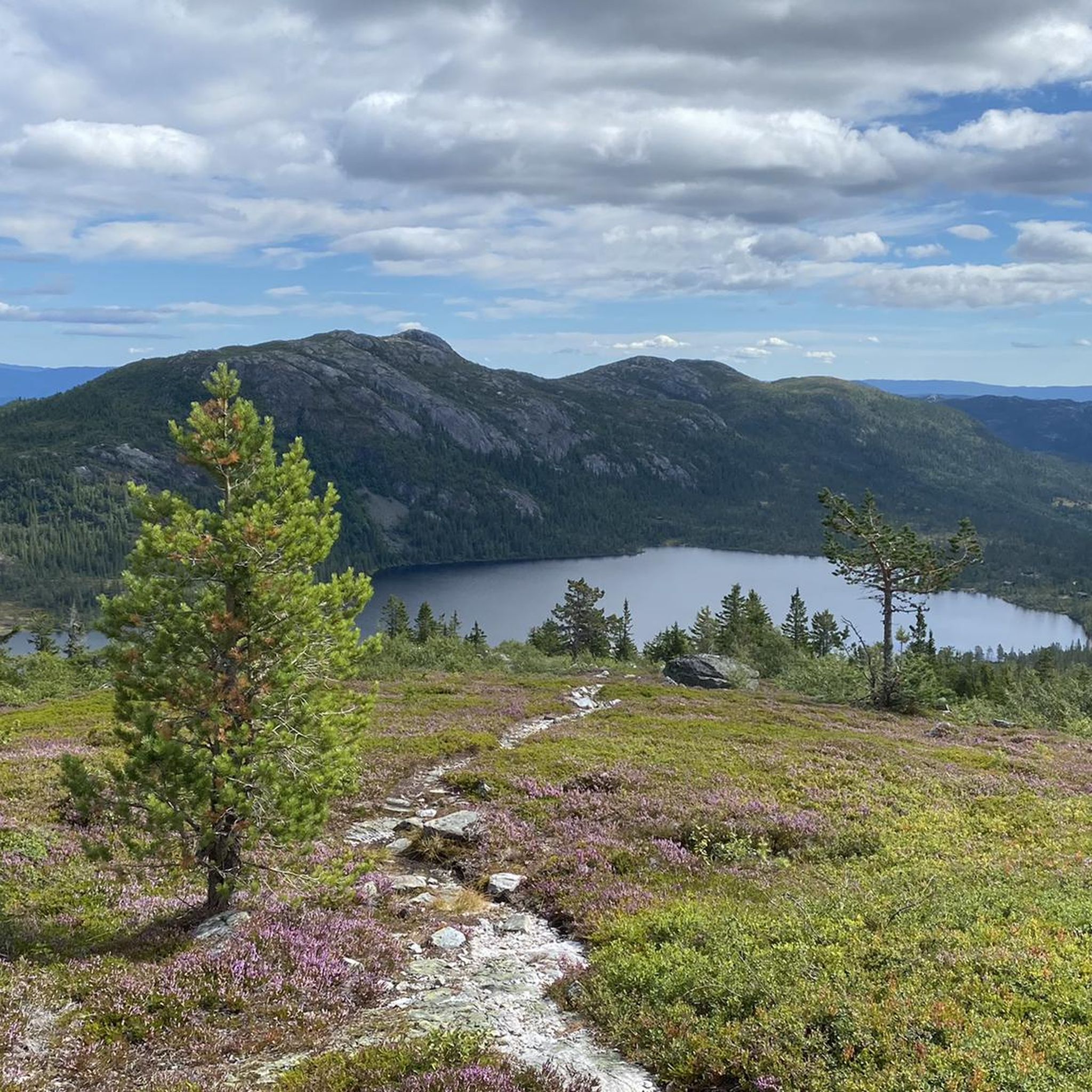
Road cycling routes in Kleppefjell Naturreservat traverse a landscape characterized by mountains and natural preservation. The region features varied terrain, including significant elevation changes, offering challenging climbs and descents. While specific road cycling trails within the immediate reserve are not extensively detailed, the surrounding area provides a natural environment conducive to cycling. The highest point in the broader area, Lifet, reaches an elevation of 771 meters.
Best road cycling routes in Kleppefjell Naturreservat
- The most popular road cycling route is…
Last updated: May 23, 2026
5.0
(3)
32
riders
106km
05:32
1,780m
1,780m
Hard road ride. Very good fitness required. Mostly well-paved surfaces and easy to ride.
11
riders
97.5km
05:43
2,380m
2,380m
Hard road ride. Very good fitness required. Mostly well-paved surfaces and easy to ride.

Sign up for free
5.0
(1)
7
riders
55.8km
02:37
450m
450m
Moderate road ride. Good fitness required. Some segments of this route may be unpaved and difficult to ride.
Our route recommendations are based on thousands of hikes, rides, and runs completed by other people on komoot.
Start today with a free account
Your next adventure awaits.
Login or Signup
Popular around Kleppefjell Naturreservat
Tips from the Community

The parking costs 150 NOK for 24 hours. Ideal for an overnight stay in a motorhome. The shuttle bus to the cable car costs 50 NOK. From here you can access the trailhead to the Hulderhola cave and can find a restaurant right beside the parking.
0
0

Beware. This parking lot will cost you an arm and a leg! We were there at 8:30…. Parking until 12:00 was 300 kroner, and after 12:00 another 300. No middle ground, no way to pay for the actual time you are parked there. Paid 600, but I am absolutely furious. What a dirty rip-off!
1
0

There is a free parking spot across from the Hytta. Many locals park here too. Save yourself the parking fees for the large lot.
3
0
Cute little Hytta (private), which marks the entrance to the trail on Gaustatoppen.
3
0

Stavsro is the common starting point for an adventure on Gaustatoppen. As well as parking, there's a cafe here that specialises in regional rømmegrøt, a porridge made with sour cream, milk, and a bit of flour, and then topped with cinnamon and sugar. Of course, it also sells waffles.
0
0

Good parking lot as a starting point for hiking
0
0

The largest stave church there is, who would not want to see it.
0
0

Frequently Asked Questions
How many road cycling routes are available in Kleppefjell Naturreservat?
There are currently three road cycling routes listed in Kleppefjell Naturreservat on komoot. These routes offer a mix of moderate and difficult options for cyclists looking to explore the region's mountainous terrain.
What kind of terrain can I expect when road cycling in Kleppefjell Naturreservat?
Road cycling in Kleppefjell Naturreservat is characterized by mountainous terrain with significant elevation changes. The region's highest point, Lifet, reaches 771 meters, indicating that routes will feature challenging climbs and descents. Expect natural landscapes and varied surfaces typical of a nature reserve's periphery.
Are there any easy road cycling routes for beginners in Kleppefjell Naturreservat?
While most routes in the area are challenging, there is one moderate option: the Svelgfossen – Lienfoss loop from Ørvella. This route covers 56.2 km with approximately 450 meters of elevation gain, offering a less strenuous way to experience the region compared to the more difficult trails.
What are the most challenging road cycling routes in Kleppefjell Naturreservat?
For experienced road cyclists seeking a challenge, two difficult routes stand out. The Stavsro Parking Area – South Climb of Gaustatoppen loop from Sauland kyrkje is 105.8 km long with nearly 1,800 meters of elevation gain. Even more demanding is the Tinn Open-Air Museum – Stavsro Parking Area loop from Sauland kyrkje, which spans 98.6 km and features over 2,300 meters of climbing.
What do other road cyclists say about the routes in Kleppefjell Naturreservat?
The road cycling routes in Kleppefjell Naturreservat are highly rated by the komoot community, with an average score of 5.0 stars from 4 reviews. Cyclists often praise the challenging mountainous terrain and the natural beauty of the landscapes encountered.
Is Kleppefjell Naturreservat suitable for family-friendly road cycling?
Given the mountainous terrain and the prevalence of difficult routes with significant elevation changes, Kleppefjell Naturreservat is generally not ideal for casual family road cycling. The moderate Svelgfossen – Lienfoss loop might be an option for families with older, experienced teenage cyclists, but younger children or beginners may find the climbs too demanding.
Are there any specific viewpoints or natural features to look out for along the road cycling routes?
While specific viewpoints are not detailed for the road cycling routes, the region is defined by its natural features and mountainous landscape. The highest point, Lifet, at 771 meters, contributes to the scenic backdrop. Cyclists can expect to enjoy expansive views and natural surroundings throughout their rides, particularly on routes with significant elevation.
What is the best time of year to go road cycling in Kleppefjell Naturreservat?
Considering the mountainous nature of Kleppefjell Naturreservat, the best time for road cycling is typically during the warmer months, from late spring to early autumn. This period generally offers more favorable weather conditions, less chance of snow or ice on higher elevations, and longer daylight hours. Always check local weather forecasts before heading out.
Is public transport available to access the road cycling routes in Kleppefjell Naturreservat?
Information regarding direct public transport access specifically for road cycling routes within Kleppefjell Naturreservat is not readily available. Many routes, such as those starting from Sauland kyrkje or Ørvella, may require personal vehicle transport to reach the starting points. It's advisable to research local bus services or other transport options to these specific starting locations if you plan to use public transport.
Are there parking facilities available near the road cycling route starting points?
Yes, some routes indicate parking areas. For example, the Stavsro Parking Area – South Climb of Gaustatoppen loop and the Tinn Open-Air Museum – Stavsro Parking Area loop both mention 'Stavsro Parking Area' in their names, suggesting designated parking at or near the starting points. For other routes, look for available parking in nearby villages or designated trailheads.
Are there any cafes or places to refuel near the road cycling routes?
The Kleppefjell Naturreservat area is primarily natural and less developed for popular outdoor sports, meaning amenities like cafes directly along the routes might be scarce. It is recommended to plan your rides with sufficient provisions and to check for facilities in nearby towns or villages like Sauland or Ørvella before or after your ride.
Most popular routes in Kleppefjell Naturreservat

Get inspired with the komoot mobile app


Explore more
Browse the best Road cycling routes in other regions.
