The best road cycling routes in Åkre Og Vikane Naturreservat
114
riders
4
rides
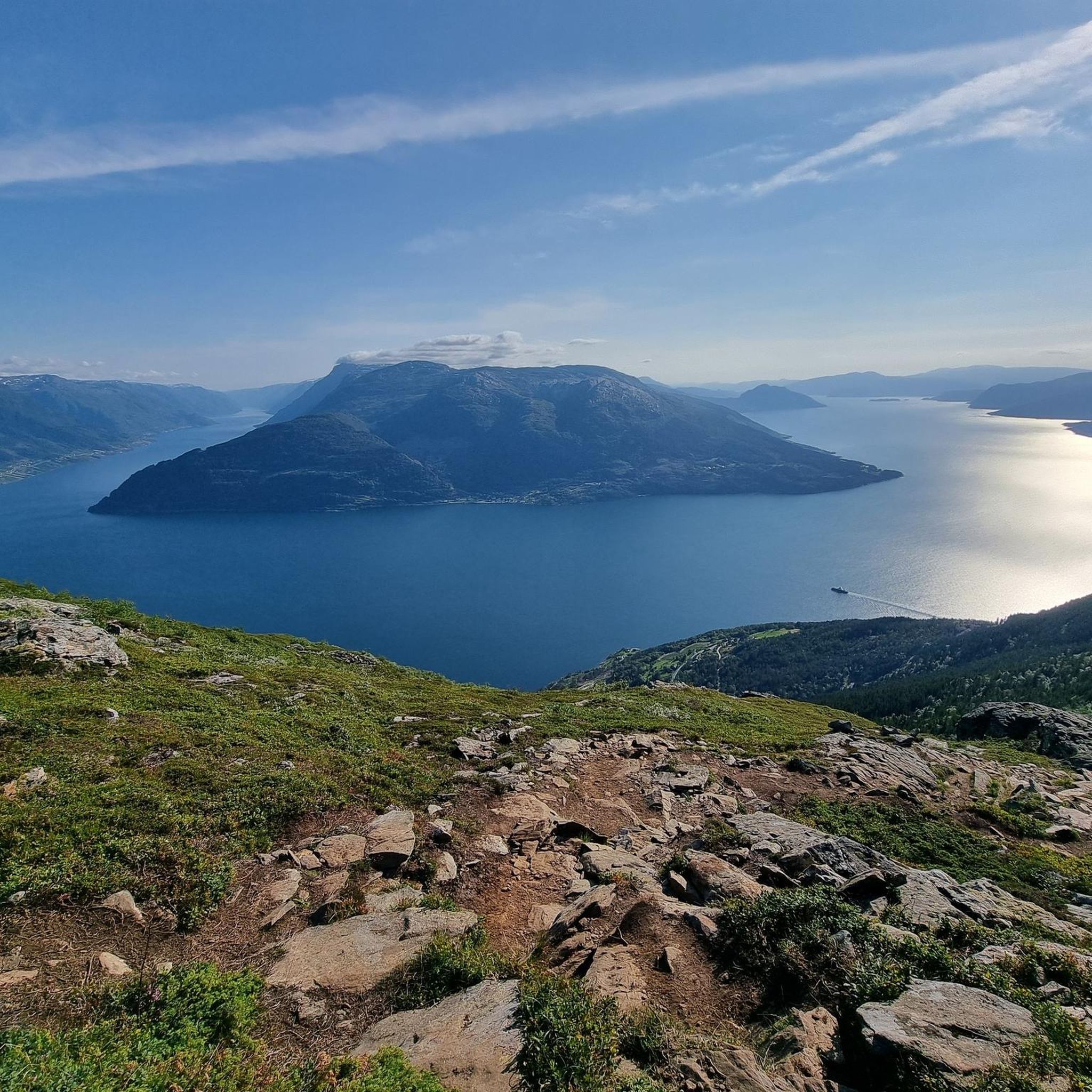
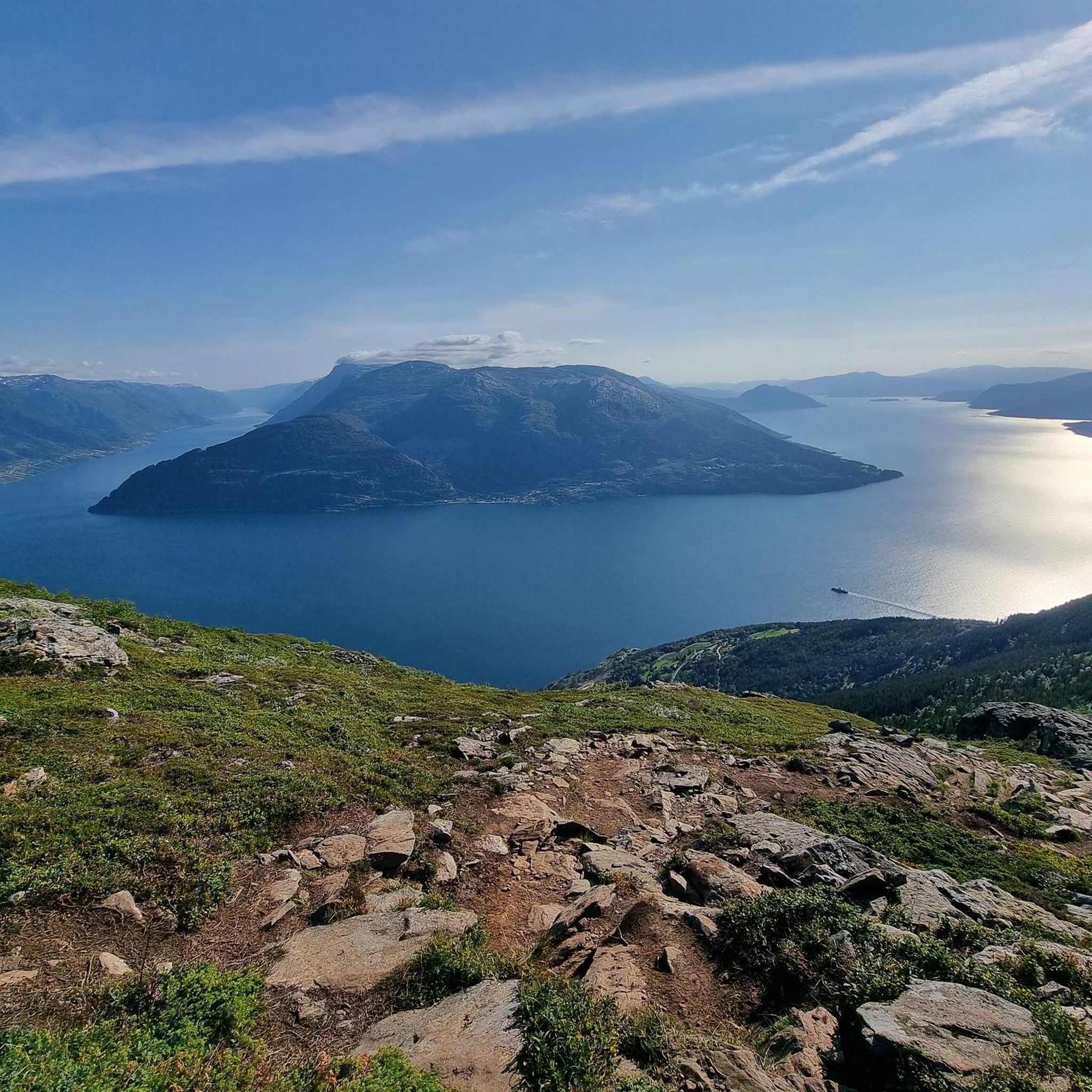
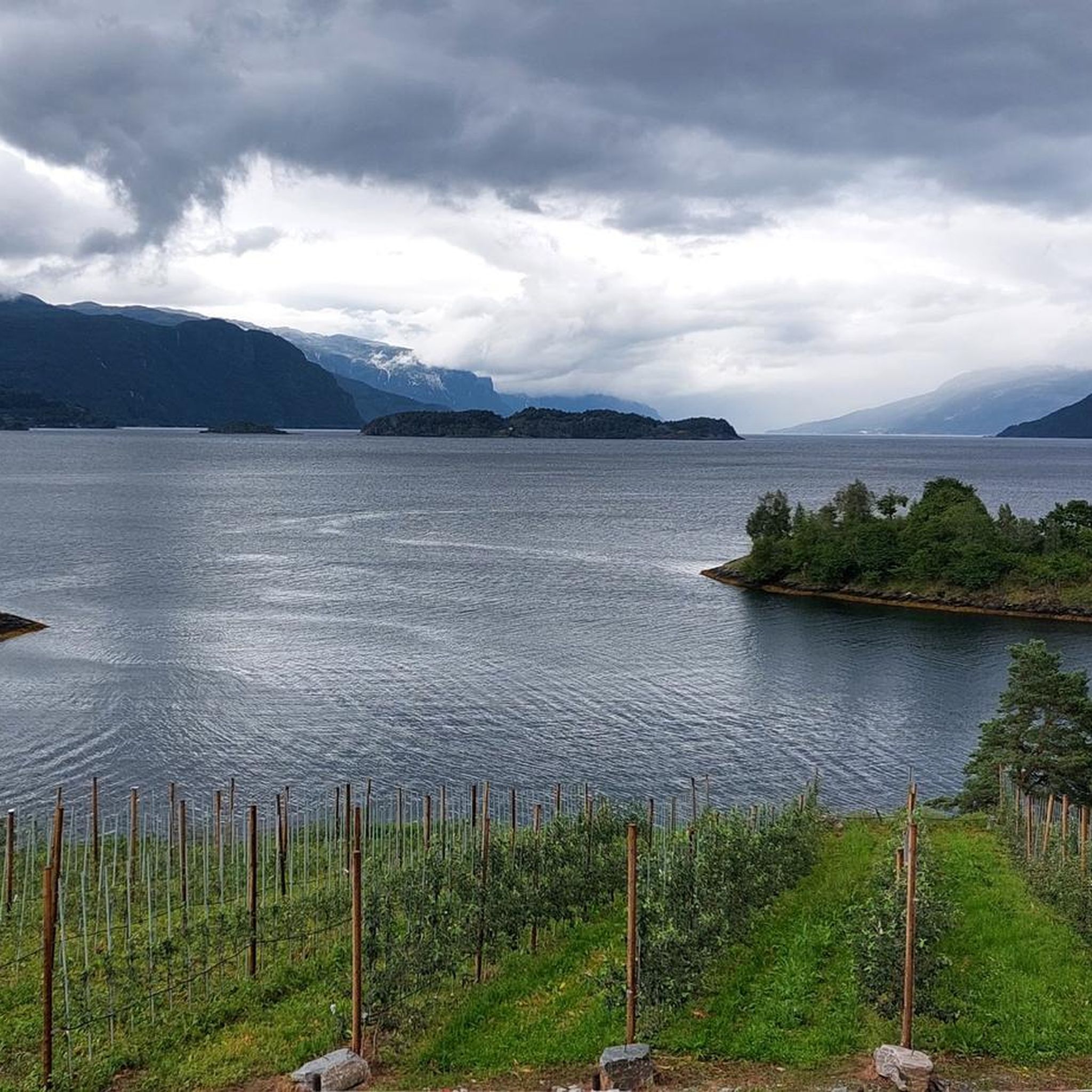
Road cycling routes in Åkre Og Vikane Naturreservat traverse a region characterized by steep fjord slopes and dense forests along the Hardangerfjord. The terrain features significant elevation changes, with roads winding from near sea level up to several hundred meters. This offers panoramic views of the fjord and its intersecting arms. The area is defined by dramatic natural features, including cascading waterfalls and varied forest structures, providing a challenging yet rewarding environment for cyclists.
Best road cycling routes in Åkre…
Last updated: July 4, 2026
54
riders
59.5km
03:16
930m
930m
Hard road ride. Very good fitness required. Mostly well-paved surfaces and easy to ride.
23
riders
80.9km
04:07
1,370m
1,370m
Hard road ride. Very good fitness required. Mostly well-paved surfaces and easy to ride.

Sign up for free
32
riders
99.1km
05:12
1,800m
1,790m
Hard road ride. Very good fitness required. Mostly well-paved surfaces and easy to ride.
9
riders
33.0km
01:59
870m
870m
Moderate road ride. Good fitness required. Mostly well-paved surfaces and easy to ride.
Our route recommendations are based on thousands of hikes, rides, and runs completed by other people on komoot.
Start today with a free account
Your next adventure awaits.
Login or Signup
Popular around Åkre Og Vikane Naturreservat
Tips from the Community

Bridge along the cycle path to Voss. Shelter from the rain.
0
0


Mainly wooden bridge over the road in Bjørgo
0
0

The old road around the tunnel. Closed for motorised traffic, it offers outstanding views of the fjord!
2
0
The rock has about 150 petroglyphs which are estimated to be around 3000 years old. If you're interested in ancient history, this is an excellent place for a stop!
1
0
Frequently Asked Questions
What kind of terrain can I expect when road cycling in Åkre Og Vikane Naturreservat?
Road cycling in Åkre Og Vikane Naturreservat features dramatic and varied terrain. You'll encounter steep fjord slopes offering challenging ascents and descents, with elevations ranging from approximately 20 to 700 meters above sea level. The routes often wind through dense natural forests and along the Hardangerfjord, providing both demanding climbs and scenic stretches.
Are there road cycling routes suitable for beginners or those looking for a moderate challenge?
Yes, while many routes are challenging, there is at least one moderate option. The Ellen Utnes plass loop from Hardanger Bridge is a moderate 33.0 km (20.5 miles) route with 869 meters of elevation gain, offering a good balance of challenge and scenic views without the extreme difficulty of other trails.
What are the main natural features or landmarks I will see along the road cycling routes?
Cyclists can expect breathtaking panoramic views of the Hardangerfjord and its intersecting fjord arms, including Samlafjorden, Sørfjorden, Eidfjorden, and Granvinsfjorden. The area is also rich in natural forests, numerous streams, rivers, and impressive waterfalls, such as Øvstebrufossen. The Skjervsfossen – Bjørgo Wooden Bridge loop from Granvin, for example, passes by the notable Skjervsfossen waterfall.
What is the best season for road cycling in Åkre Og Vikane Naturreservat?
The best season for road cycling in Åkre Og Vikane Naturreservat is typically from spring through autumn. During these months, the weather is generally more favorable, and the roads are clear of snow and ice, allowing for safe and enjoyable rides through the fjord landscapes and forests. Always check local weather and road conditions before heading out.
Are there any long-distance or particularly challenging road cycling routes for experienced riders?
Absolutely. For experienced riders seeking a significant challenge, routes like the Åslii – Øykjaskor loop from Kvanndal naturreservat stand out. This difficult route spans 99.1 km (61.6 miles) and features an impressive 1797 meters of elevation gain, offering a demanding and rewarding experience through the region's dramatic landscapes.
Can I find circular road cycling routes in the area?
Yes, all the road cycling routes listed for Åkre Og Vikane Naturreservat are designed as loops, allowing you to start and finish at the same point. Examples include the Skjervsfossen – Bjørgo Wooden Bridge loop from Granvin and the Åslii – Kjællhamar loop from Grimo kraftverk, providing convenient options for your ride.
What do other road cyclists enjoy most about cycling in Åkre Og Vikane Naturreservat?
Road cyclists frequently praise the region for its stunning panoramic views of the Hardangerfjord and its intersecting arms. The challenging yet rewarding elevation changes, the immersion in ancient forests, and the presence of numerous waterfalls also contribute to a unique and highly appreciated cycling experience.
Are there options for family-friendly road cycling in the area?
While many routes feature significant elevation, the region also offers quieter, scenic routes that might be more suitable for families or those seeking a less strenuous ride. Look for paths that follow the flatter sections along the Granvin lake, which provide natural beauty without extreme difficulty, though specific dedicated family-friendly paved routes are not detailed in the provided data.
Is public transport available to access road cycling routes, and can I bring my bike?
The Hardangerfjord region has public transport options, including ferries and buses, which can help access various points. Availability for bringing bikes can vary, especially on smaller services or during peak times. It is advisable to check with local transport providers in advance regarding their bike carriage policies and schedules to plan your journey effectively.
Where can I find parking for road cycling routes in Åkre Og Vikane Naturreservat?
Parking availability will depend on your chosen starting point. Many routes, being loops, often start from towns or designated areas where parking might be available. For instance, routes originating from Granvin or near the Hardanger Bridge would likely have parking options nearby, though specific parking facilities for cyclists are not detailed. It's recommended to check the starting point of your chosen route for local parking information.
What is the typical road surface like for cycling in this region?
The road cycling routes in Åkre Og Vikane Naturreservat primarily utilize quiet regional roads. These are generally paved, offering a suitable surface for road bikes. However, given the natural and sometimes remote setting, conditions can vary, and cyclists should be prepared for potential variations in road quality.
Most popular routes in Åkre Og Vikane Naturreservat

Get inspired with the komoot mobile app


Explore more
Browse the best Road cycling routes in other regions.
