The best road cycling routes in Longavatnet Naturreservat
4.3
(5)
94
riders
2
rides
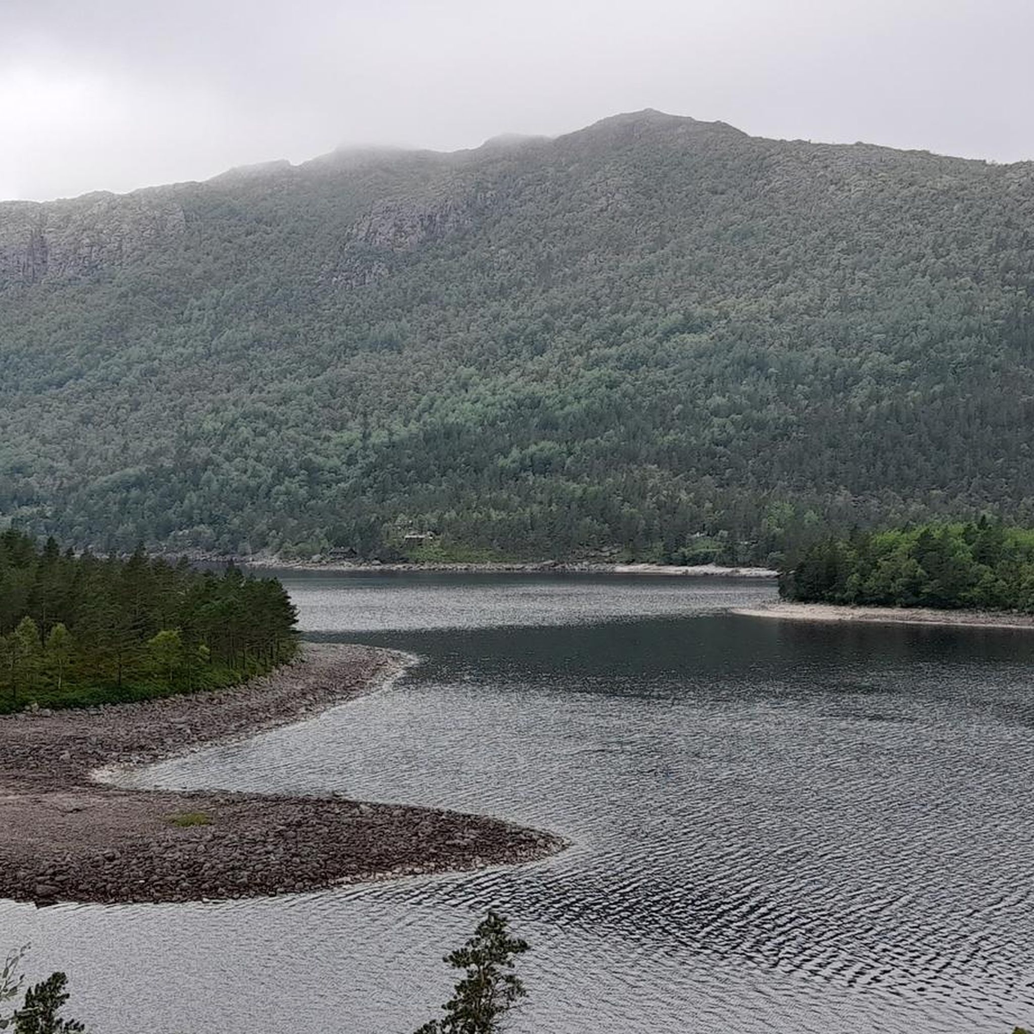
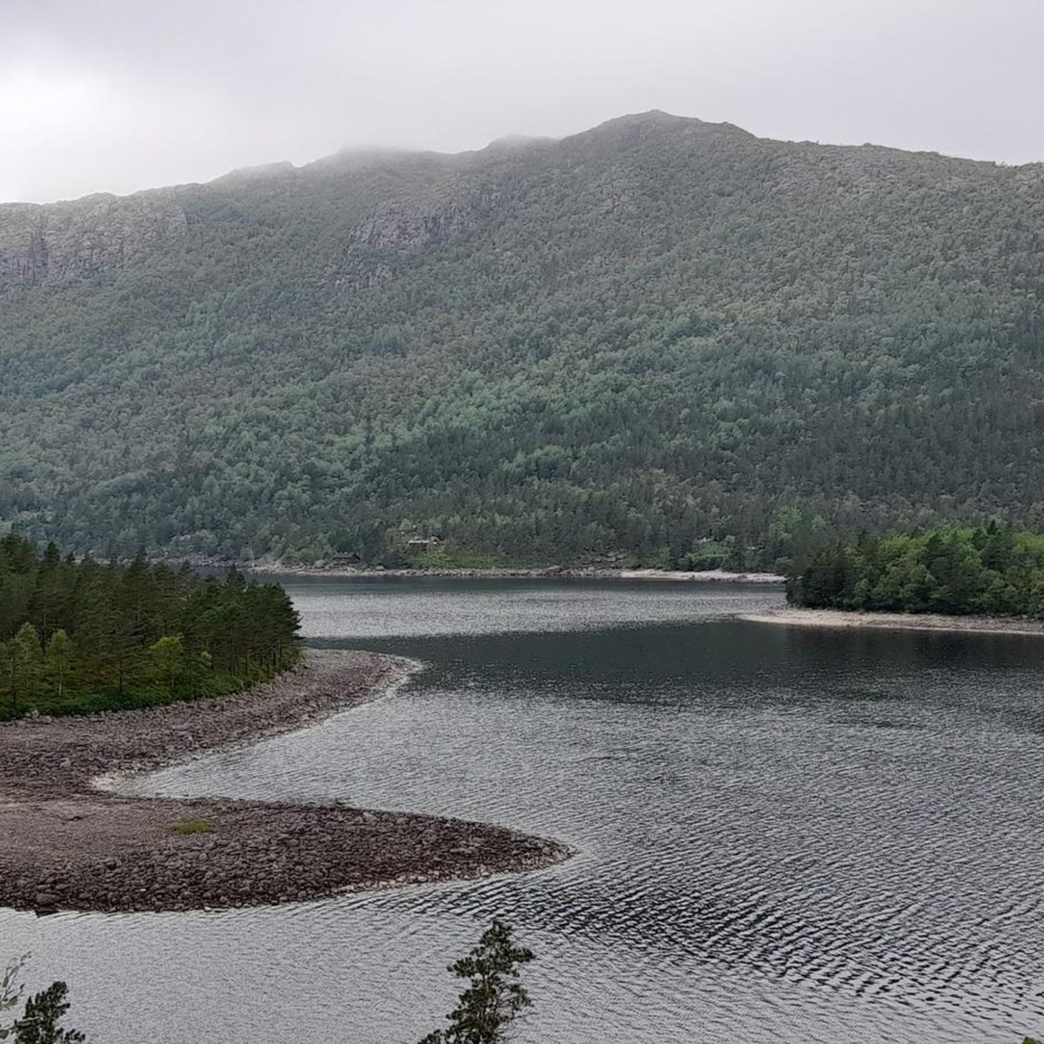
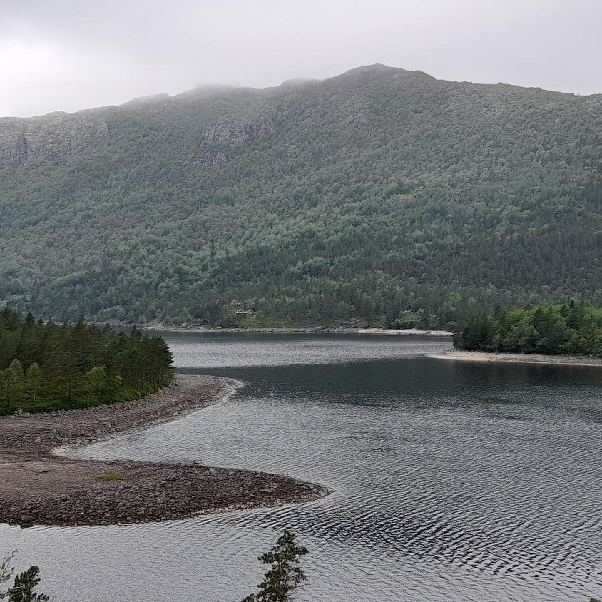
Road cycling routes in Longavatnet Naturreservat traverse a higher-lying valley situated between 360 and 500 meters above sea level, encircled by peaks and moraine-rich low moors. While the reserve itself is characterized by ancient pine forests and serene lakes like Furenesvatnet and Longavatnet, extensive road cycling is primarily found on the regional road network that skirts or traverses the edges of this natural environment. The area offers diverse topography, with surrounding roads providing access to scenic vistas and varied terrain…
Last updated: July 1, 2026
7
riders
28.2km
01:33
370m
370m
Moderate road ride. Good fitness required. Mostly well-paved surfaces and easy to ride.
4.0
(1)
11
riders
58.4km
03:07
1,030m
1,030m
Hard road ride. Very good fitness required. Some segments of this route may be unpaved and difficult to ride.

Sign up for free
2
riders
106km
05:30
1,610m
1,610m
Hard road ride. Very good fitness required. Some segments of this route may be unpaved and difficult to ride.
4.5
(2)
47
riders
53.6km
02:41
780m
780m
Moderate road ride. Good fitness required. Mostly well-paved surfaces and easy to ride.
4.5
(2)
27
riders
101km
05:14
1,560m
1,560m
Hard road ride. Very good fitness required. Some segments of this route may be unpaved and difficult to ride.
Our route recommendations are based on thousands of hikes, rides, and runs completed by other people on komoot.
Start today with a free account
Your next adventure awaits.
Login or Signup
Popular around Longavatnet Naturreservat
Tips from the Community

There are places that naturally invite you to take a break, and this is the case with this superb, 100% natural picnic area with its tables and benches carved directly from the stone. All this with a superb view.
0
0

Highly recommended. Delicious food, friendly staff, and a great view.
0
0


Beautiful & quiet road (cars drive a different route) through the Tysdal
0
0

As well as being the start point for the popular route to Preikestolen, there are a range of activities available here, inclucing swimming in Refsvatnet lake. There are also some accommodation options to choose from.
0
0

You have to come early, otherwise everything is full
0
0

Well-organized parking lot. The license plate is registered when you enter. Before you leave, you look for the corresponding license plate at the machine, pay with a card and take the receipt. Hold the receipt up to the barrier and the barrier opens.
1
0

Hiking poles are very helpful 2 hours walking up and 2 hours walking down are very realistic
1
1
Frequently Asked Questions
How many road cycling routes are available in Longavatnet Naturreservat?
There are over 5 road cycling routes available in and around Longavatnet Naturreservat, catering to various skill levels. These routes are highly rated by the komoot community, with an average score of 4.5 stars.
What is the best time of year for road cycling in Longavatnet Naturreservat?
The best time for road cycling in Longavatnet Naturreservat is typically during the warmer months, from late spring through early autumn. This period offers the most favorable weather conditions and ensures roads are clear of snow and ice, allowing for full enjoyment of the scenic landscapes.
Are there any family-friendly or beginner road cycling routes in the area?
While many routes feature significant elevation, there are options suitable for those seeking a more moderate ride. The Vardlandstjørna loop from Vatne is a moderate 17.5-mile (28.2 km) path that offers a balanced ride through natural settings, including views of local lakes, making it a good choice for those looking for a less strenuous experience.
What kind of terrain can I expect on road cycling routes around Longavatnet Naturreservat?
Road cycling routes in Longavatnet Naturreservat traverse a diverse landscape. You can expect higher-lying valleys situated between 360 and 500 meters above sea level, encircled by peaks and moraine-rich low moors. The regional road network that skirts the reserve offers varied terrain, from challenging climbs with significant elevation gain to more rolling sections with scenic lake views.
Are there any challenging road cycling routes for experienced cyclists?
Yes, experienced cyclists will find several challenging routes. The Kuvika – Hiker's Café loop from Førland is a difficult 36.1-mile (58.1 km) trail with significant elevation gain. Another demanding option is the Tysdalsvatnet Lake – View of Lysefjord loop from Egeland, a 65.7-mile (105.8 km) trail leading through varied terrain with potential views of Lysefjord.
What scenic viewpoints or natural features can I see while road cycling?
The routes offer stunning natural beauty. You can expect views of serene lakes like Furenesvatnet, Longavatnet, Liarvatnet, and Dalavatnet. From certain vantage points, particularly on routes like the Tysdalsvatnet Lake – View of Lysefjord loop from Egeland, you might even catch panoramic views of Lysefjord, with the iconic Preikestolen visible in the distance.
Are there any loop routes available for road cycling?
Yes, several routes are designed as loops, allowing you to start and end at the same point. Examples include the Kuvika – Hiker's Café loop from Førland, the Vardlandstjørna loop from Vatne, and the Tauåna – Kuvika loop from Jørpeland.
What do other road cyclists enjoy most about road cycling in Longavatnet Naturreservat?
The area is highly rated by the komoot community, with an average score of 4.5 stars from more than 4 reviews. Cyclists often praise the diverse topography, the challenging climbs, and the stunning natural scenery, including the ancient pine forests and serene lakes. The unspoiled countryside and the feeling of being immersed in nature are frequently highlighted.
Are there any specific regulations for cycling within the Longavatnet Naturreservat itself?
Longavatnet Naturreservat is primarily established to protect an ancient coastal pine forest. While road cycling is feasible on the regional road network that skirts or traverses the edges of this natural environment, extensive cycling is generally not permitted within the protected interior of the reserve to preserve its unique ecosystem. Always adhere to local signage and regulations.
Where can I find parking for road cycling routes near Longavatnet Naturreservat?
Specific parking information varies by route starting point. For routes originating from towns like Førland, Vatne, Egeland, Jørpeland, or Bjørheimsbygda, you can typically find public parking facilities. It is advisable to check local maps or route descriptions for designated parking areas near your chosen trailhead.
Can I access road cycling routes near Longavatnet Naturreservat using public transport?
Access to trailheads via public transport can be limited in more rural areas. While major towns like Jørpeland may have bus connections, reaching specific starting points for road cycling routes around Longavatnet Naturreservat might require a combination of public transport and cycling or a private vehicle. It's recommended to research local bus schedules and routes in advance.
Are there any cafes or places to refuel along the road cycling routes?
While the immediate vicinity of the nature reserve is largely unspoiled countryside, routes often pass through or near smaller communities. For instance, the Kuvika – Hiker's Café loop from Førland suggests a 'Hiker's Café' which could be a potential stop. It's always a good idea to carry sufficient water and snacks, especially on longer routes, as amenities might be sparse between towns.
Most popular routes in Longavatnet Naturreservat

Get inspired with the komoot mobile app


Explore more
Browse the best Road cycling routes in other regions.
