The best MTB trails in Sandebukta Landskapsvernområde
5.0
(1)
36
riders
6
rides
Mountain biking in Sandebukta Landskapsvernområde offers diverse terrain shaped by the Sandeelva river estuary, encompassing river plains, cultivated fields, and woodlands. The protected area features varied landscapes, including nationally important Quaternary geology and a continuous belt of mixed forest. These natural features provide a range of experiences for mountain bikers, from flatter sections near the river to more undulating paths through forested areas. The region's varied environment is well-suited for active outdoor recreation.
Best mountain bike trails in Sandebukta Landskapsvernområde
…Last updated: July 4, 2026
3
riders
Moderate mountain bike ride. Good fitness required. Advanced riding skills necessary.
8
riders
22.9km
01:56
350m
350m
Moderate mountain bike ride. Good fitness required. Advanced riding skills necessary.

Sign up for free
2
riders
49.4km
03:11
580m
580m
Moderate mountain bike ride. Good fitness required. Suitable for all skill levels.
5.0
(1)
7
riders
60.0km
03:24
510m
510m
Moderate mountain bike ride. Good fitness required. Suitable for all skill levels.
7
riders
27.5km
02:09
380m
380m
Moderate mountain bike ride. Good fitness required. Advanced riding skills necessary.
Our route recommendations are based on thousands of hikes, rides, and runs completed by other people on komoot.
Start today with a free account
Your next adventure awaits.
Login or Signup

Tips from the Community

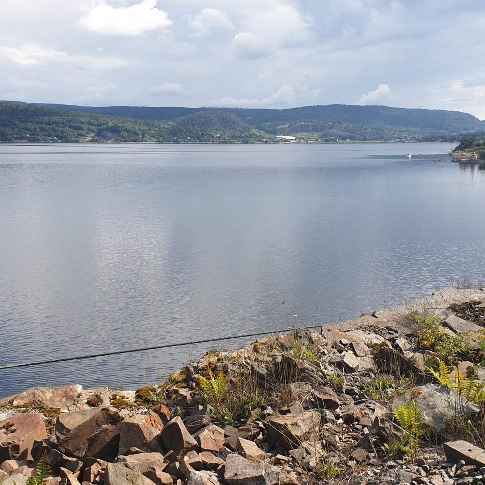
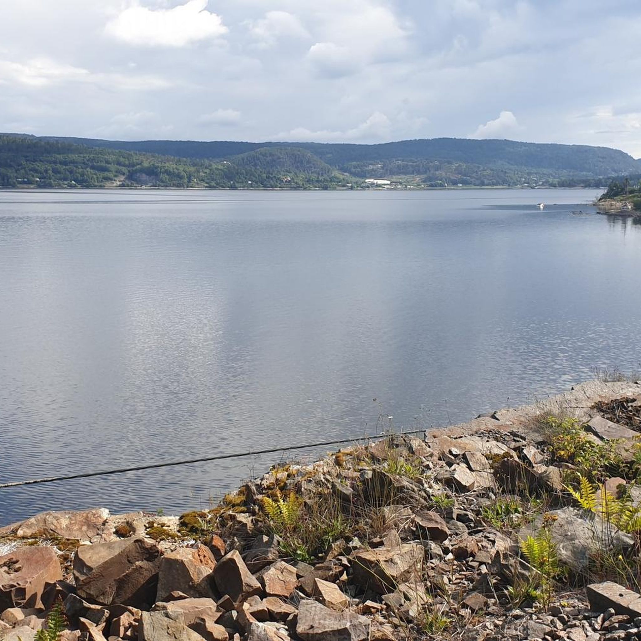
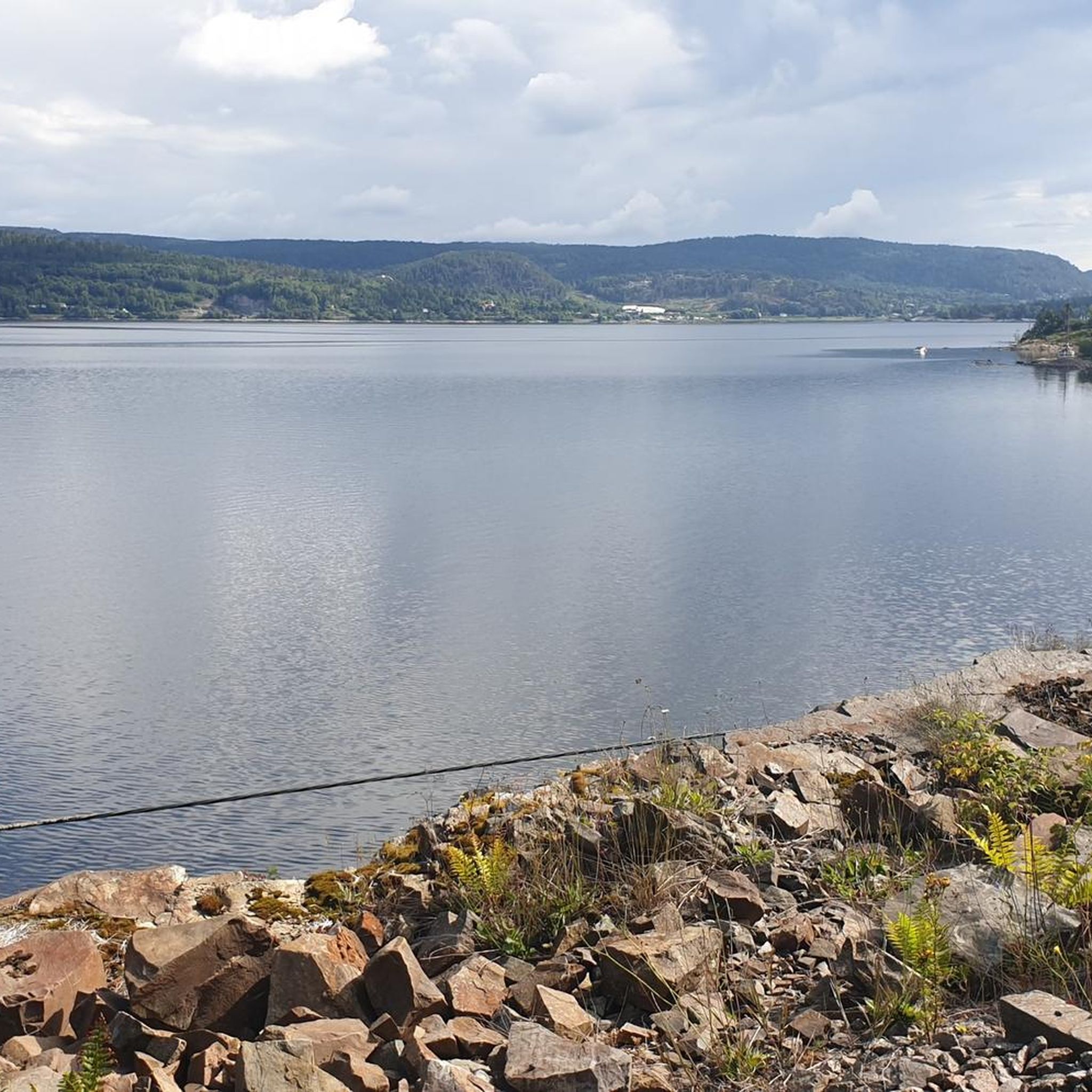
Tangenhavna lies close to the water, a quiet Norwegian harbor where the land meets the open air.
0
0
From this road and point you can get a clear view of the fjord while walking along the coast.
0
0

Sande is a town situated on the western side of the Drammensfjord, part of the larger Oslofjord. The town centre offers shops and services, making it a practical stop for supplies or a break. There is a railway station which can be used as a useful connection point for bike rides.
0
0
Frequently Asked Questions
What kind of terrain can I expect on mountain bike trails in Sandebukta Landskapsvernområde?
The terrain in Sandebukta Landskapsvernområde is diverse, shaped by the Sandeelva river estuary. You'll find a mix of river plains, areas with significant Quaternary geology, and continuous belts of mixed forest. This provides varied riding experiences, from flatter sections near the river to more undulating paths through woodlands.
Are there mountain bike trails suitable for beginners in Sandebukta Landskapsvernområde?
All the mountain bike trails listed for Sandebukta Landskapsvernområde are rated as moderate. While the region offers varied terrain, including some easier paths, dedicated beginner-level mountain bike routes are not specifically highlighted in this guide. Riders should have a reasonable level of fitness and basic mountain biking skills.
How many mountain bike trails are available in Sandebukta Landskapsvernområde?
There are 6 mountain bike trails available in Sandebukta Landskapsvernområde, all of which are rated as moderate difficulty.
What is the best time of year for mountain biking in Sandebukta Landskapsvernområde?
The best time for mountain biking in Sandebukta Landskapsvernområde is typically during the warmer, drier months, from spring through autumn. This avoids winter conditions which can bring snow and ice, making trails impassable or difficult. Autumn also offers the chance to see large flocks of Greylag geese during their migration.
Are there any long-distance mountain bike routes in the area?
Yes, there are longer routes available. For example, the Sande loop from Kattholmane naturreservat covers approximately 59.3 km, and the Høyslasset – Kongseplerud loop from Sande is about 49.4 km long. Both are moderate in difficulty.
What do other mountain bikers say about the trails in Sandebukta Landskapsvernområde?
The mountain bike trails in Sandebukta Landskapsvernområde are highly rated by the komoot community, with an average score of 5.0 stars. Riders appreciate the varied terrain and the natural beauty of the protected area.
Are there any points of interest or natural features to look out for while mountain biking?
Yes, the area is rich in natural and cultural landscapes. You'll be riding through the Sandeelva river estuary, past river plains, and through woodlands. The region is also known for its significant Quaternary geology and wetland areas, which are home to over 220 bird species. Keep an eye out for traditional farms and cultivated land that contribute to the distinctive scenery.
Are dogs allowed on the mountain bike trails in Sandebukta Landskapsvernområde?
While the protected area is generally welcoming to outdoor activities, specific regulations regarding dogs on mountain bike trails can vary. It's always best to keep dogs on a leash, especially in protected areas and during nesting seasons, to protect wildlife and ensure a pleasant experience for all users.
Where can I find parking for mountain biking in Sandebukta Landskapsvernområde?
Specific parking locations are often associated with trailheads. For routes like the Vestre Bjørndalsåsen – Kiruddalsåsen loop, you would typically look for parking near Sandebukta landskapsvernområde itself. For other routes, starting points like Selvik skole or Sandviken would be good places to check for nearby parking facilities.
Can I reach Sandebukta Landskapsvernområde by public transport for mountain biking?
Sandebukta Landskapsvernområde is located in Holmestrand municipality. While public transport options exist to reach the general area, direct access to specific trailheads might require some planning. It's advisable to check local bus or train schedules to Holmestrand or Sande, and then consider the distance to your desired starting point.
What is the longest mountain bike trail in this guide?
The longest mountain bike trail featured in this guide is the Sande loop from Kattholmane naturreservat, which spans approximately 59.3 km.
Are there any family-friendly mountain bike trails in Sandebukta Landskapsvernområde?
All routes in this guide are rated as moderate, suggesting they require a certain level of fitness and skill. While some sections might be suitable for older, more experienced children, dedicated easy or family-specific trails are not explicitly listed. The varied terrain, including river plains and woodlands, can offer enjoyable rides for families comfortable with moderate distances and some elevation changes.
Most popular routes in Sandebukta Landskapsvernområde

Get inspired with the komoot mobile app


Explore more
Browse the best MTB trails in other regions.
