The best road cycling routes in Rodeholene Naturreservat
4.0
(2)
174
riders
5
rides
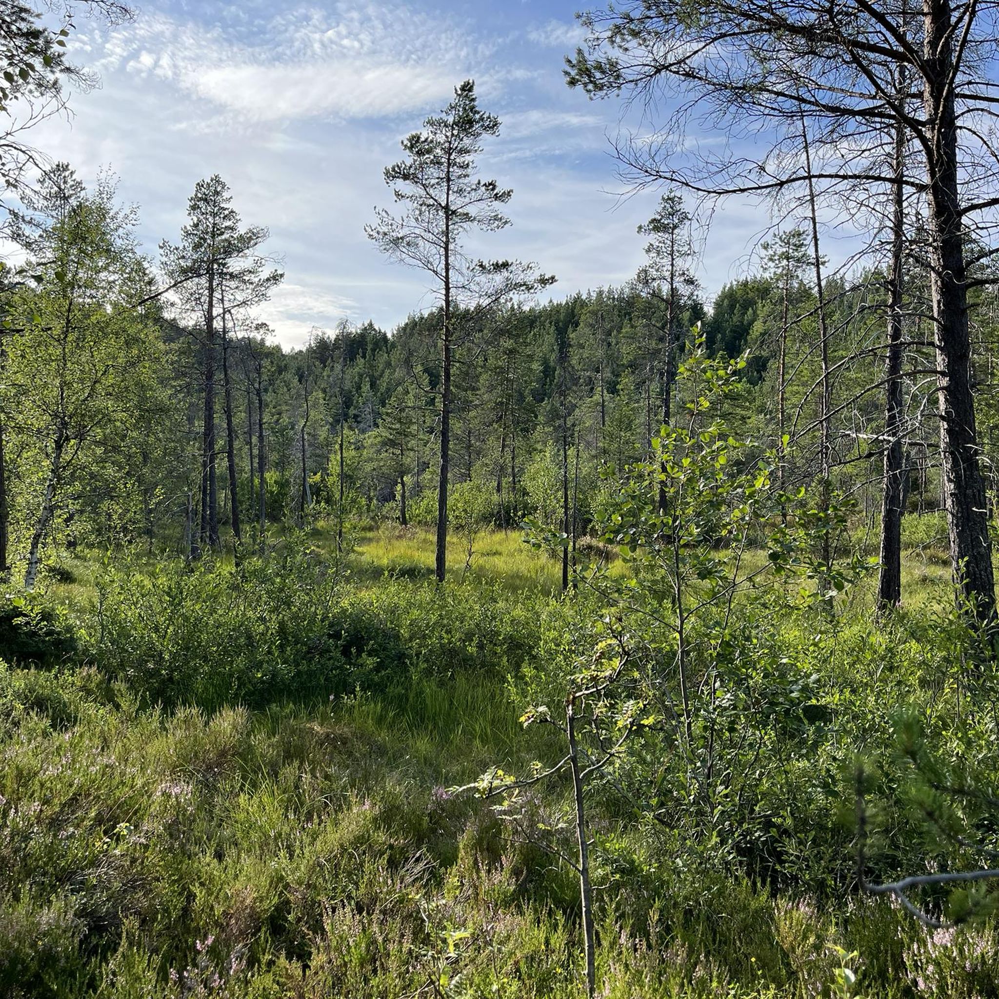
Road cycling in Rodeholene Naturreservat offers routes through a landscape characterized by old-growth forests, diverse ecosystems, and significant elevation changes. The reserve, located near Sogndal Airport, features a gravel road that ascends from the airport towards the TV mast on Storehogen mountain, providing a challenging climb. Elevations within the broader area range from approximately 485 to 950 meters, with Storehogen reaching 1171 meters. Pine and birch forests are common, contributing to the natural setting for road cycling.
Best road cycling…
Last updated: July 4, 2026
4.0
(1)
34
riders
57.9km
03:02
940m
940m
Hard road ride. Very good fitness required. Mostly well-paved surfaces and easy to ride.
4
riders
155km
07:18
1,880m
1,880m
Hard road ride. Very good fitness required. Mostly well-paved surfaces and easy to ride.

Sign up for free
4.0
(1)
102
riders
104km
05:09
1,580m
1,580m
Hard road ride. Very good fitness required. Mostly well-paved surfaces and easy to ride.
28
riders
68.3km
02:56
560m
560m
Moderate road ride. Good fitness required. Mostly well-paved surfaces and easy to ride.
6
riders
25.8km
02:50
810m
810m
Moderate road ride. Good fitness required. Mostly well-paved surfaces and easy to ride.
Our route recommendations are based on thousands of hikes, rides, and runs completed by other people on komoot.
Start today with a free account
Your next adventure awaits.
Login or Signup
Popular around Rodeholene Naturreservat
Tips from the Community

Kvinnefossen, also known as the "Woman Waterfall," is a prominent cascade located by the roadside. It's one of Norway's taller waterfalls, with a significant drop of around 120-200 meters. Legends suggest its name comes from a rock formation resembling a woman, visible at certain water flows, or from a woman who tragically lost her life there.
0
0

The ferry has limited departure times, which also vary seasonally; it's best to check in advance: https://www.lustrabaatane.no/ornes-solvorn https://www.fergeruter.info/timetable/solvorn-ornes
0
0

Great bakery with very good coffee from the portafilter machine
0
0

In addition to a great viewing platform, there is also a toilet and the possibility of shelter (in case of bad weather).
0
0

A fantastic stop on the Lusterfjord circuit. Room for just nine cars, but always plenty of room for cyclists and pedestrians.
0
0
to the Feigefossen waterfall, I highly recommend
0
0

Balestrand is a hub of outdoor activity with many dreamy trails. It's home to the Balestrand Up race, which takes runners up from the Kviknes Hotel and up to Raudmelen, at 3,189 feet (972 m) above sea level.
0
0

The ferry departs every hour and the crossing takes about 15 minutes
5
1
Frequently Asked Questions
How many road cycling routes are available in Rodeholene Naturreservat?
There are 5 road cycling routes available in Rodeholene Naturreservat, offering a range of experiences from moderate to difficult.
What is the typical terrain like for road cycling in Rodeholene Naturreservat?
The terrain in Rodeholene Naturreservat is characterized by mostly paved surfaces, significant elevation gains, and challenging climbs. You'll find a blend of steady ascents and wide-open mountain views, often through old-growth pine and birch forests.
What kind of views can I expect while cycling in Rodeholene Naturreservat?
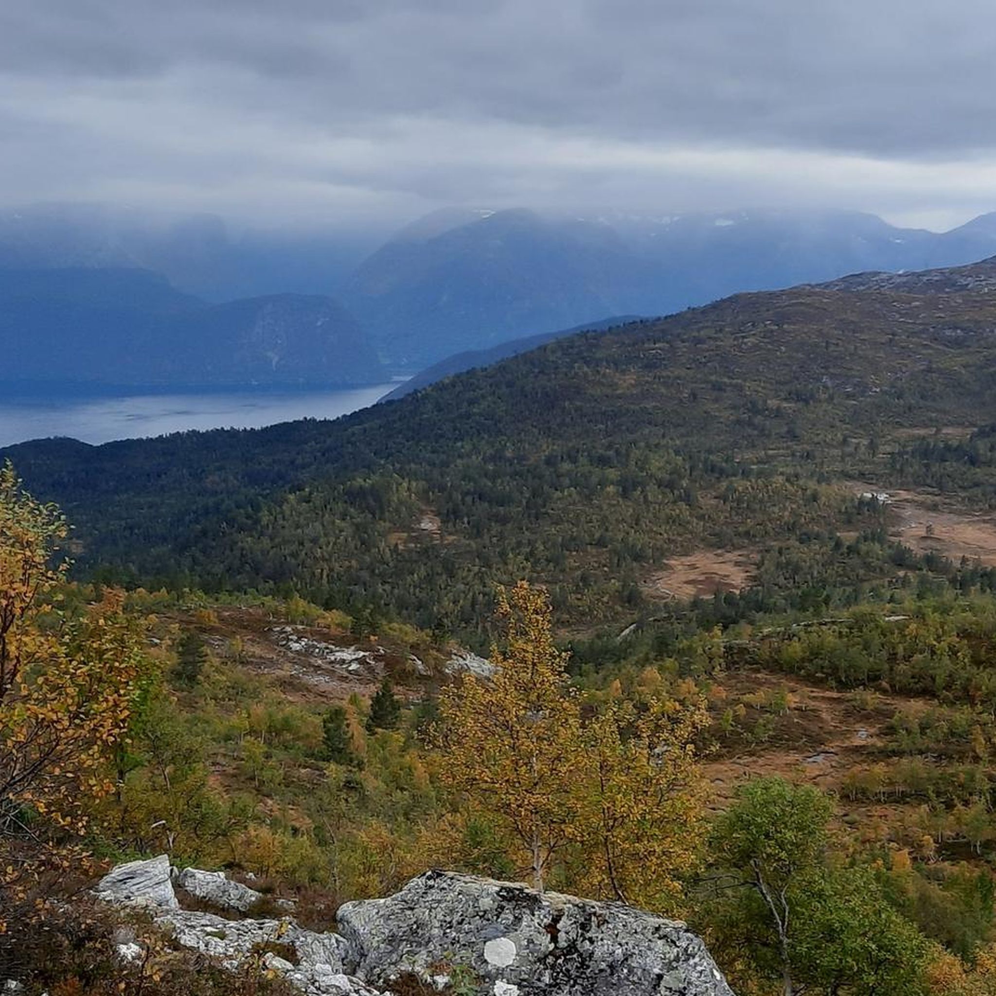
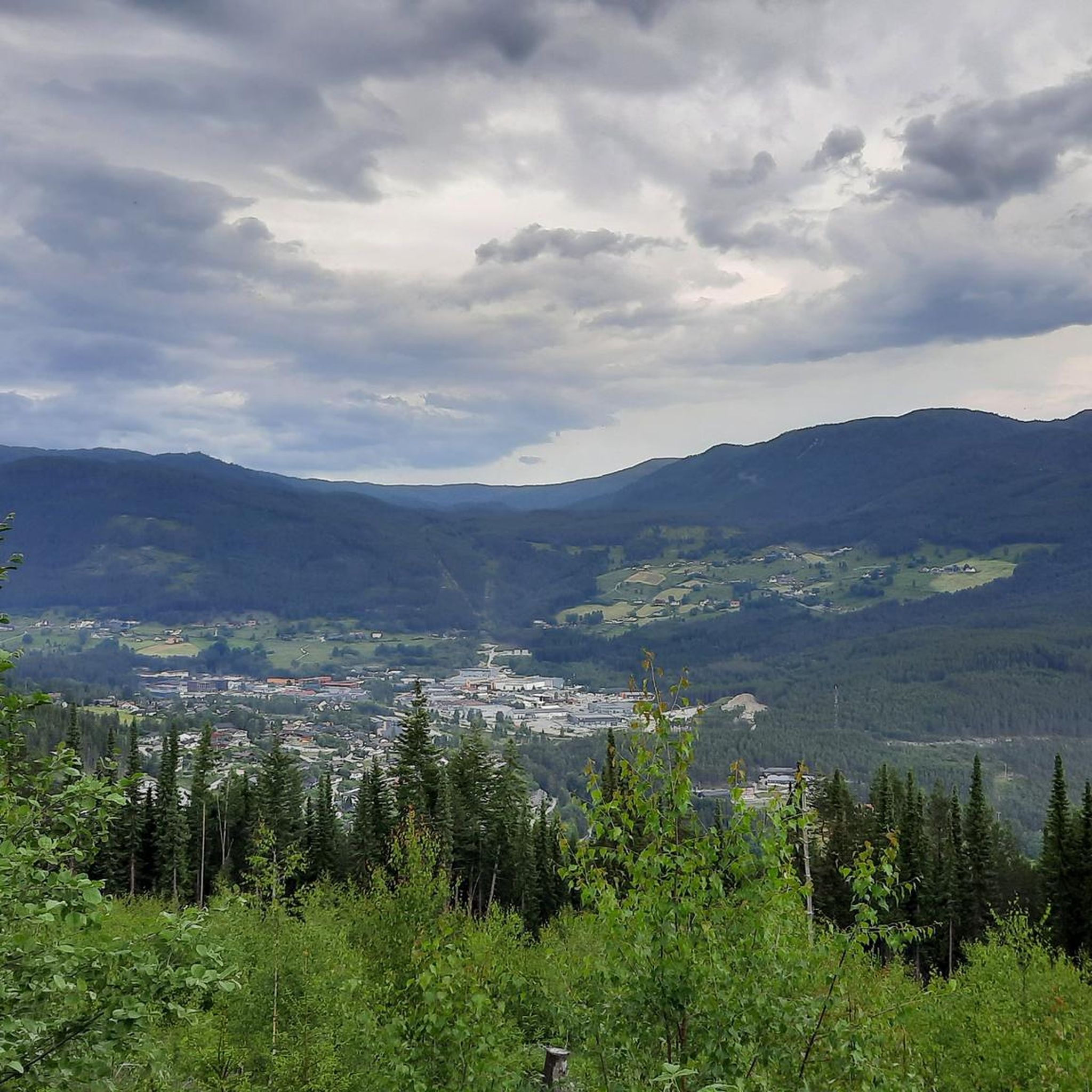
Cyclists can expect stunning panoramic views of the Sognefjord and its various branches, as well as dramatic mountain landscapes. Elevated points like Storehaugen offer expansive outlooks, and you may even catch glimpses of glaciers from the Jostedalsbreen and Sognefjellet regions. Routes like the Old Stedjeberget Road (Rødlingsgaten) are known for breathtaking coastal and sea vistas.
Are there any road cycling routes that pass by waterfalls?
Yes, there are routes that feature waterfalls. For example, the Kvinnefossen Waterfall – Gaularfjellet Viewpoint loop from Sogndal and the Kvinnefossen Waterfall loop from Sogndal both include Kvinnefossen. The Urnes Ferry Terminal – Feigumfossen loop from Sogndal passes by Feigumfossen.
What are the difficulty levels of road cycling routes in Rodeholene Naturreservat?
The routes in Rodeholene Naturreservat are generally moderate to difficult, requiring good fitness due to substantial elevation gains. There are 2 moderate routes and 3 difficult routes available.
Are there any family-friendly road cycling routes in the area?
While many routes in Rodeholene Naturreservat involve significant climbs and are rated moderate to difficult, some areas may offer more accessible paths. For a shorter, moderate option, consider the Murahaug – Holene loop from Sogndal, which is 25.9 km long. Always check the route details for elevation and distance to ensure it suits your family's ability.
What is the best time of year for road cycling in Rodeholene Naturreservat?
The best time for road cycling is typically from late spring through early autumn. Snow can still be present at higher elevations in early May, so it's advisable to check local conditions. The dynamic environment changes with the seasons, offering different scenic experiences.
What do other road cyclists enjoy the most about road cycling in Rodeholene Naturreservat?
The area is highly rated by the komoot community, with an average score of 4.0 stars. Cyclists often praise the stunning fjord and mountain vistas, the challenging ascents that offer rewarding views, and the opportunity to experience great scenery while avoiding heavy traffic on roads like the Old Stedjeberget Road.
Are there any cultural landmarks or points of interest along the road cycling routes?
While the natural landscapes are the primary attraction, some routes originate or pass near cultural points of interest. For instance, some loops begin from Kaupanger, which is home to the historic Kaupanger Stave Church, offering a cultural experience in conjunction with your ride.
Where can I find parking for road cycling routes in Rodeholene Naturreservat?
Parking availability can vary by starting point. For routes originating from Kaupanger, such as the Stenehjemshagane – Brandhaugane loop from Kaupanger 3 kraftverk, you would typically look for parking in or near Kaupanger. For routes starting from Sogndal, like the Kvinnefossen Waterfall – Gaularfjellet Viewpoint loop from Sogndal, parking would be available in Sogndal. It's recommended to check specific starting points on komoot for detailed parking information.
Can I access the road cycling routes using public transport from Sogndal?
Sogndal serves as a central hub, and public transport options are available to nearby areas like Kaupanger and Kjørnes, which are common starting points for many road cycling routes. You would need to check local bus schedules for connections to your desired starting location.
Most popular routes in Rodeholene Naturreservat

Get inspired with the komoot mobile app


Explore more
Browse the best Road cycling routes in other regions.
