The 8 Most Amazing Peaks around Nunnykirk
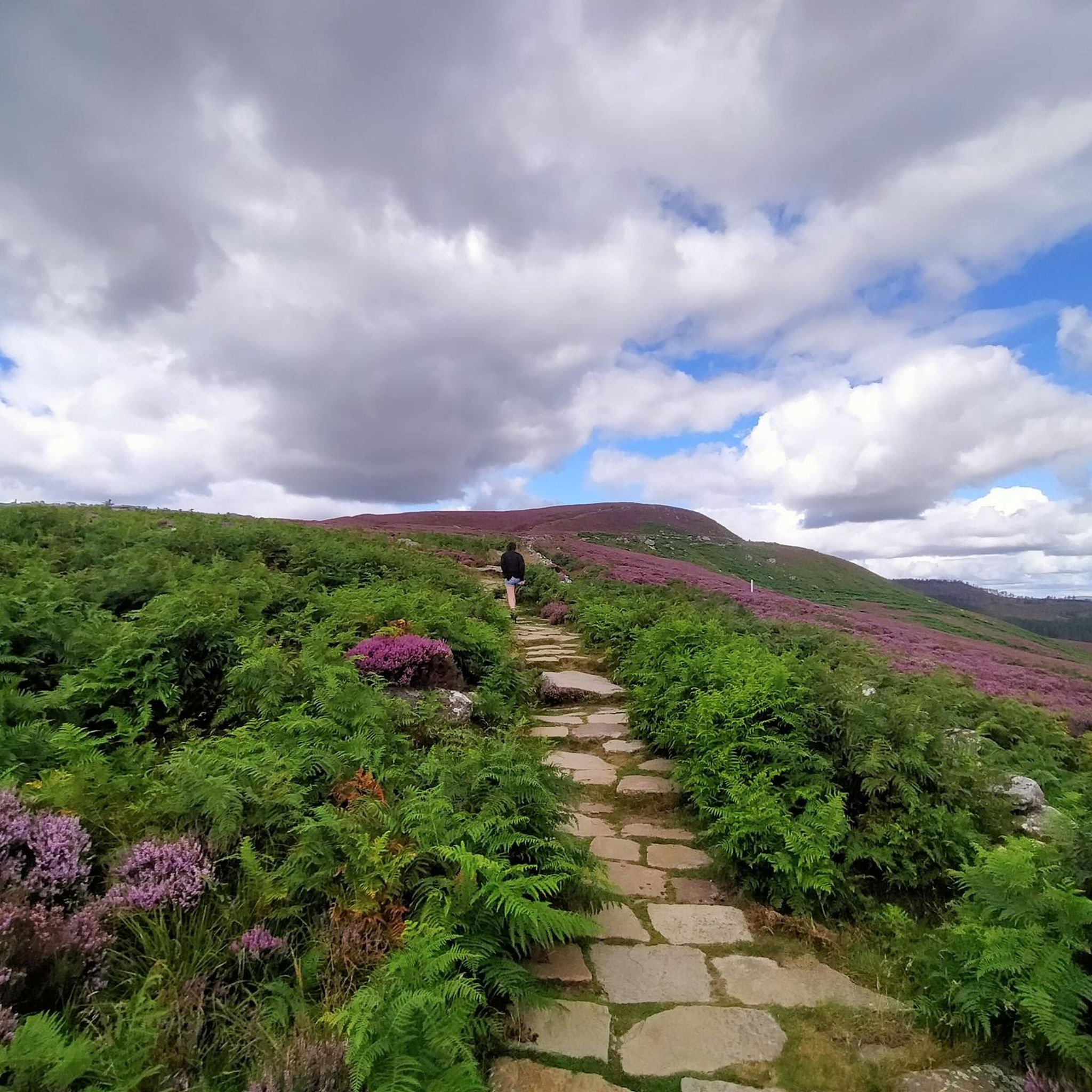
Best mountain peaks around Nunnykirk are found within the Northumberland National Park, an area characterized by diverse terrain including moorlands and ancient woodlands. This region, near the town of Rothbury, offers a variety of hills and summits for hiking. The wild landscapes and dramatic scenery provide extensive views across the Northumbrian coastline and the Cheviot Hills. The Nunnykirk location characteristics make it a destination for those seeking natural beauty and outdoor activity.
Best mountain peaks around Nunnykirk
- The most popular…
Last updated: July 1, 2026
Simonside Summit
Highlight • Natural Monument
Tip by

View from Dove Crag
Highlight • Natural Monument
Tip by

Sign up now to discover places like this
Get recommendations on the best single tracks, peaks, & plenty of other exciting outdoor places.
Sign up for free
Shaftoe Crags Trig Point
Highlight • Viewpoint
Tip by

Tosson Hill Trig Point
Highlight • Natural Monument
Tip by

Old Stell Crag Summit (428 m)
Highlight • Summit
Tip by

Sign up for free to discover even more peaks around Nunnykirk.
Sign up for free
Already have an account?
Start today with a free account
Your next adventure awaits.
Login or Signup

Tips from the Community

can be easy or difficult, depends which side you ascend from. so choose wisely
2
0

Tosson Hill 441.7m P249 (1449ft) (DoBIH Hill ID: 2315) [JNSA 8521] Northumberland National Park Definitive List summit. County of Northumberland Definitive List summit.
0
0
Old Stell Crag 428m P12.2 (1404ft) (Hill ID: 511657) [JNSA s4629] Northumberland National Park Definitive List summit. County of Northumberland Definitive List summit.
0
0

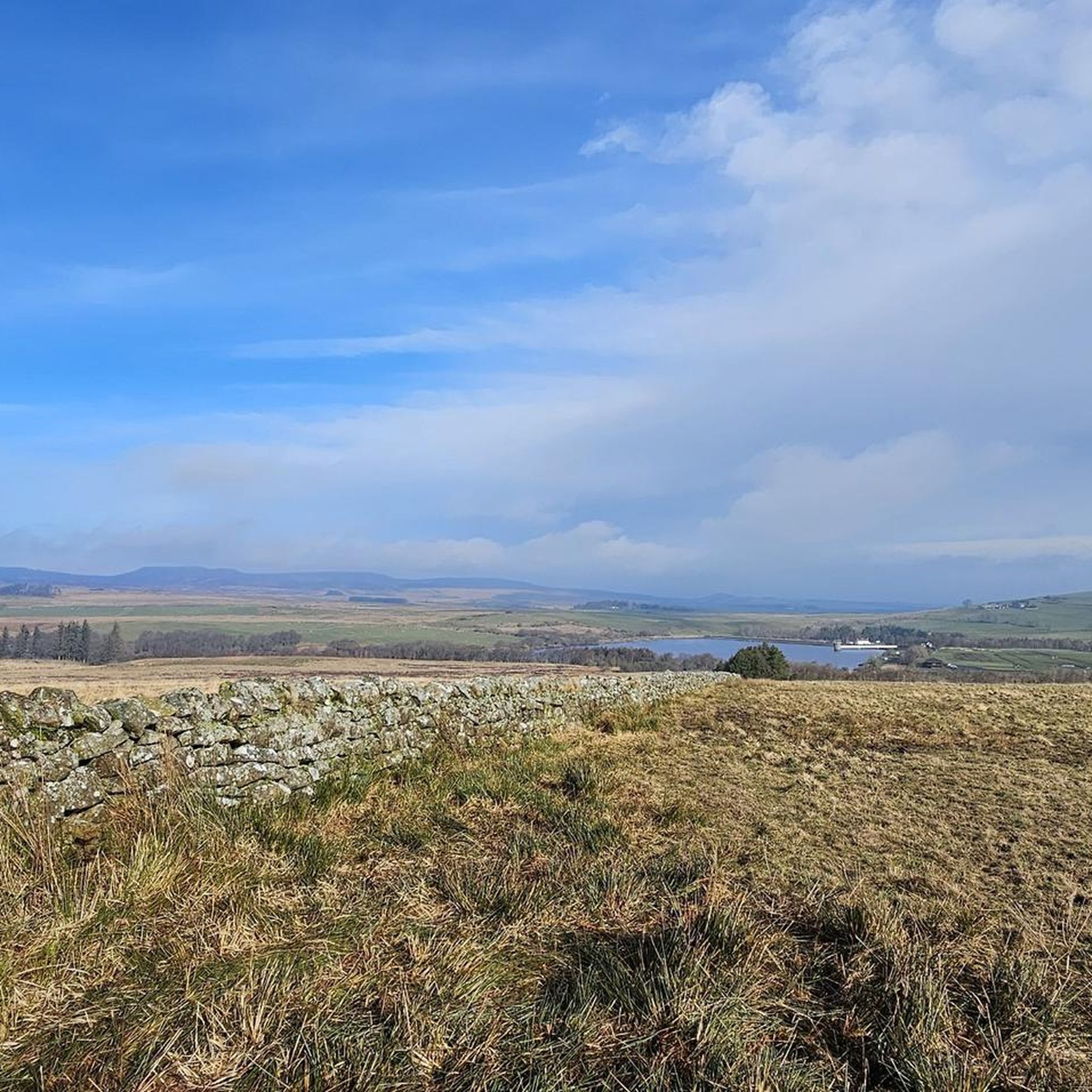
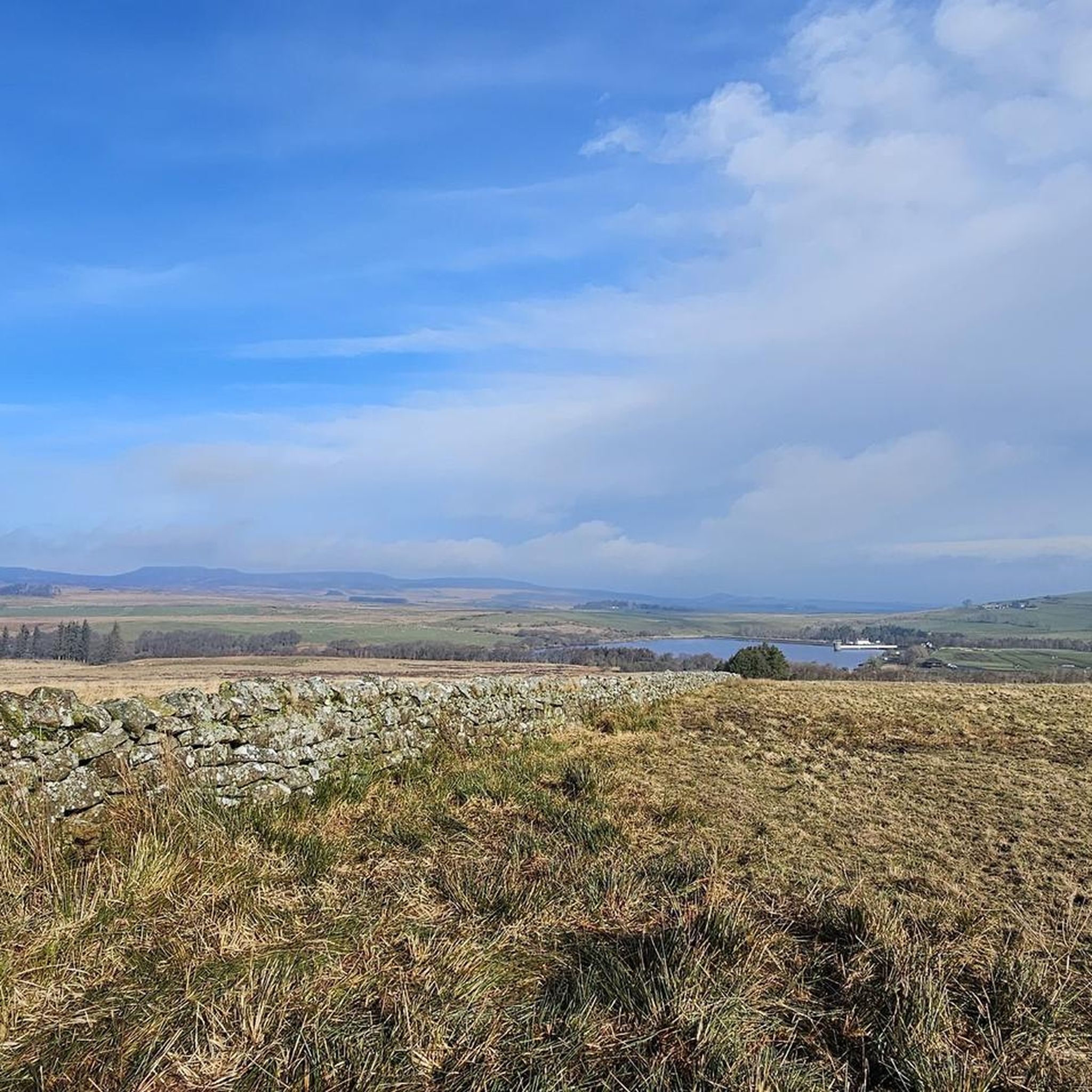
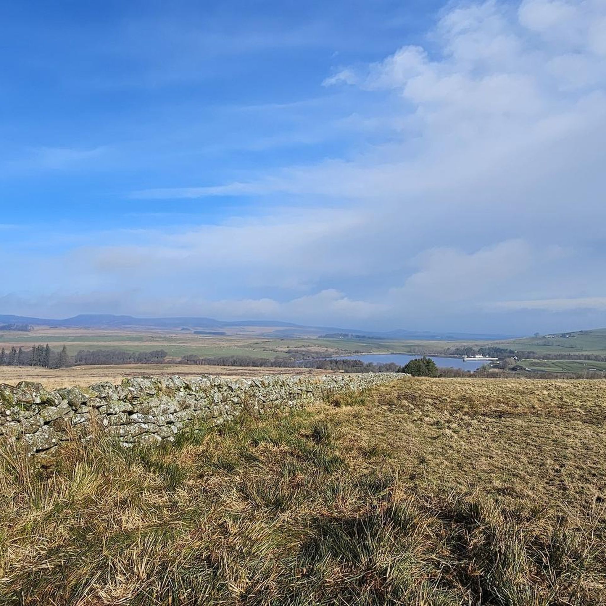
Simonside is a 429m (1400ft) summit perched atop the untamed wilderness of the Northumberland National Park. It boasts a rugged ridge that commands sensational views of the Cheviot Hills to the north and the whole Northumbrian coastline to the east. In close reach from Rothbury, Simonside is a top pick for epic views. Bring a flask of tea, settle in and relish the perfect scenery surround you.
3
0

Elevated at 699 feet above sea level, the trig point, also known as a triangulation pillar, marks the highest point on the moorland. These pillars, introduced by the Ordnance Survey in 1936, serve as sturdy platforms for surveyors' theodolites, which were used to create accurate maps during the retriangulation Of Great Britain. They can be found scattered throughout the British countryside, offering important reference points for hikers and adventurers exploring the picturesque landscapes. This particular one was installed on 01/06/1947.
0
0


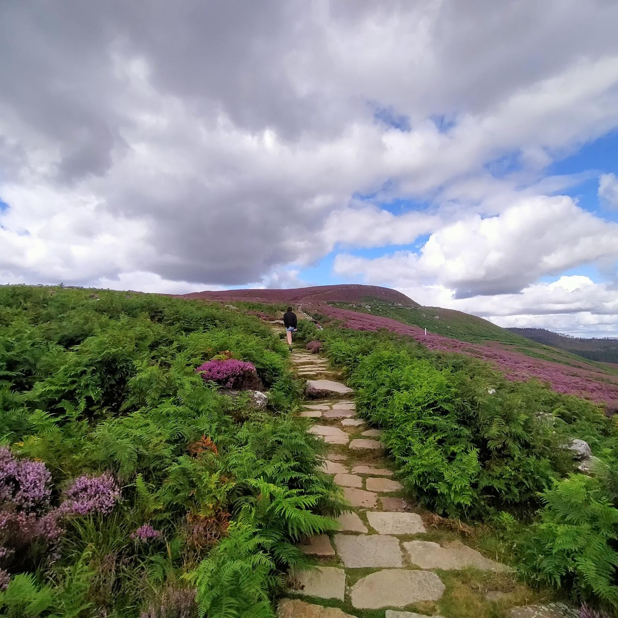
Simonside is a sandstone outcrop at 429m with great views over the Cheviots and out east to the North Sea. The running is on good trails across moorland and up to the edges. It's generally good underfoot with a wild feeling, especially if you run outside of peak times. Look out for curlew, red grouse, mountain bumblebee, emperor moth, and even red squirrels in the forest areas.
1
0
Frequently Asked Questions
What are the most popular mountain peaks and viewpoints around Nunnykirk?
The area around Nunnykirk, within the Northumberland National Park, offers several popular peaks and viewpoints. Simonside Summit is a prominent 429m (1400ft) peak known for its rugged ridge and sensational views of the Cheviot Hills and the Northumbrian coastline. Nearby, the View from Dove Crag, part of the Simonside Hills, provides spellbinding views over Northumberland. Other notable spots include Tosson Hill Trig Point and Shaftoe Crags Trig Point, both offering extensive panoramic views.
What kind of terrain and elevation can I expect when hiking near Nunnykirk?
The terrain around Nunnykirk, particularly within the Northumberland National Park, is diverse. You'll encounter moorlands, ancient woodlands, and rugged ridges. Peaks like Simonside are around 429m (1400ft), while the highest point in the wider Northumberland National Park, The Cheviot, reaches 815m (2,674ft). Hikes can range from moderate ascents to challenging climbs, often with boggy sections, especially on higher ground, so appropriate footwear is recommended.
Are there family-friendly or easy hiking trails near Nunnykirk's peaks?
Yes, there are several easy hiking options suitable for families around Nunnykirk. For example, the guide for Easy hikes around Nunnykirk lists routes like the 'Lordenshaws Car Park – Dove Crag summit loop from Lordenshaws' which is an easy 3.5km walk. Another easy option is the 'Church Rock from Simonside Car Park' route, offering a pleasant 5.6km walk within the Northumberland National Park.
What outdoor activities can I do near the mountain peaks around Nunnykirk?
Beyond exploring the peaks themselves, the area around Nunnykirk offers excellent opportunities for various outdoor activities. You can find numerous routes for hiking, including challenging circular routes like 'Simonside and Dove Crag Circular'. There are also dedicated running trails, such as the 'Simonside Hills loop from Lordenshaws', which is a difficult 19km route.
What is the best time of year to visit the peaks near Nunnykirk?
The Northumberland National Park, where Nunnykirk's peaks are located, can be enjoyed year-round, but conditions vary. Spring and summer offer milder weather and longer daylight hours, ideal for hiking and enjoying the views. Autumn brings beautiful colours to the landscape. Winter can be challenging with colder temperatures and potentially boggy or icy conditions on higher ground, but also offers stark, dramatic scenery. Always check local weather forecasts before heading out.
What historical landmarks or features can be found near Nunnykirk's peaks?
The region around Nunnykirk is rich in history. While hiking, you might encounter historical features like the Shaftoe Crags Trig Point, which is an Ordnance Survey triangulation pillar installed in 1947, marking the highest point on the moorland. Further afield, within the wider Northumberland area, Yeavering Bell features the largest Iron Age hillfort in the region with remnants of over 100 roundhouses, offering panoramic views from its summit.
Is public transport available to reach the hiking areas around Nunnykirk?
While Nunnykirk itself is a parish area, access to the wider Northumberland National Park and its peaks, such as Simonside and The Cheviot, often requires a combination of public transport and personal travel. Public transport options to specific trailheads can be limited, so planning ahead is essential. Many visitors opt for personal vehicles to reach car parks near popular starting points like Lordenshaws for the Simonside Hills.
What should I wear or bring for hiking the peaks near Nunnykirk?
Given the diverse terrain and potential for boggy conditions, especially on peaks like Simonside, it's crucial to wear appropriate footwear, such as sturdy waterproof hiking boots. Layered clothing is recommended to adapt to changing weather, as conditions can shift quickly. A waterproof outer layer, navigation tools (map, compass, or GPS), sufficient water and snacks, and a first-aid kit are also essential for a safe and enjoyable hike.
Are the mountain trails around Nunnykirk dog-friendly?
Many trails within the Northumberland National Park are dog-friendly, but it's important to keep dogs under close control, especially in areas with livestock or ground-nesting birds. Always follow the Countryside Code, which advises keeping dogs on a lead around farm animals and during nesting seasons. Specific restrictions may apply in certain nature reserves or protected areas, so check local signage.
What natural features, besides the peaks, can I explore near Nunnykirk?
Beyond the summits, the region around Nunnykirk is characterized by wild landscapes and dramatic scenery. You'll find extensive moorlands, ancient woodlands, and diverse wildlife. The View from Dove Crag, for instance, is a natural monument formed by glacial activity 15,000 years ago. The Northumberland National Park is also known for its dark skies, making it an excellent spot for stargazing.
Where can I find amenities like cafes or pubs near the hiking areas?
Nunnykirk is a parish area, and while it may have limited direct amenities, the nearby town of Rothbury serves as a good base for visitors. Rothbury offers a selection of cafes, pubs, and accommodation options where you can refuel and relax after your hikes. It's advisable to plan your route to pass through or near these towns if you intend to stop for refreshments.
Most popular attractions around Nunnykirk

Get inspired with the komoot mobile app


Explore more
See even more amazing summits around Nunnykirk with these guides:
