The best mountain hikes around Tillicoultry, Coalsnaughton And Devonside
5.0
(1)
11
hikers
3
hikes
Mountaineering routes around Tillicoultry, Coalsnaughton And Devonside are primarily defined by the Ochil Hills, an undulating plateau with a distinctive southern escarpment. The region features prominent peaks such as Ben Cleuch, the highest point at 721 meters (2,365 ft), and Dumyat, a popular hill at 418 meters (1,372 ft). Deep ravines cut by south-flowing burns create picturesque glens and waterfalls, adding to the varied terrain.
Best mountaineering routes around Tillicoultry, Coalsnaughton And Devonside
- The most popular mountaineering route is Dumyat…
Last updated: August 23, 2026
2
hikers
8.70km
02:36
260m
260m
Moderate mountaineering route. Good fitness required. Easily-accessible paths. Suitable for all skill levels.
5
hikers
6.17km
01:53
220m
220m
Easy mountaineering route. Great for any fitness level. Easily-accessible paths. Suitable for all skill levels.

Sign up for free
3
hikers
11.1km
04:18
780m
780m
Hard mountaineering route. Good fitness required. Sure-footedness, sturdy shoes and alpine experience required.
5.0
(1)
1
hikers
7.25km
02:53
380m
380m
Hard mountaineering route. Good fitness required. Sure-footedness, sturdy shoes and alpine experience required.
Our route recommendations are based on thousands of hikes, rides, and runs completed by other people on komoot.
Start today with a free account
Your next adventure awaits.
Login or Signup
Popular around Tillicoultry, Coalsnaughton And Devonside
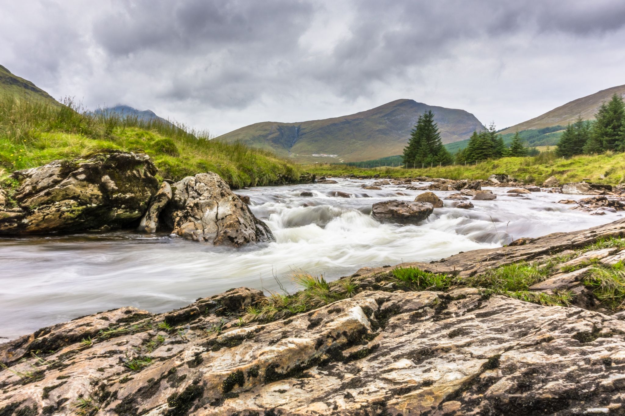
7 hikes in the lush landscapes of Scotland
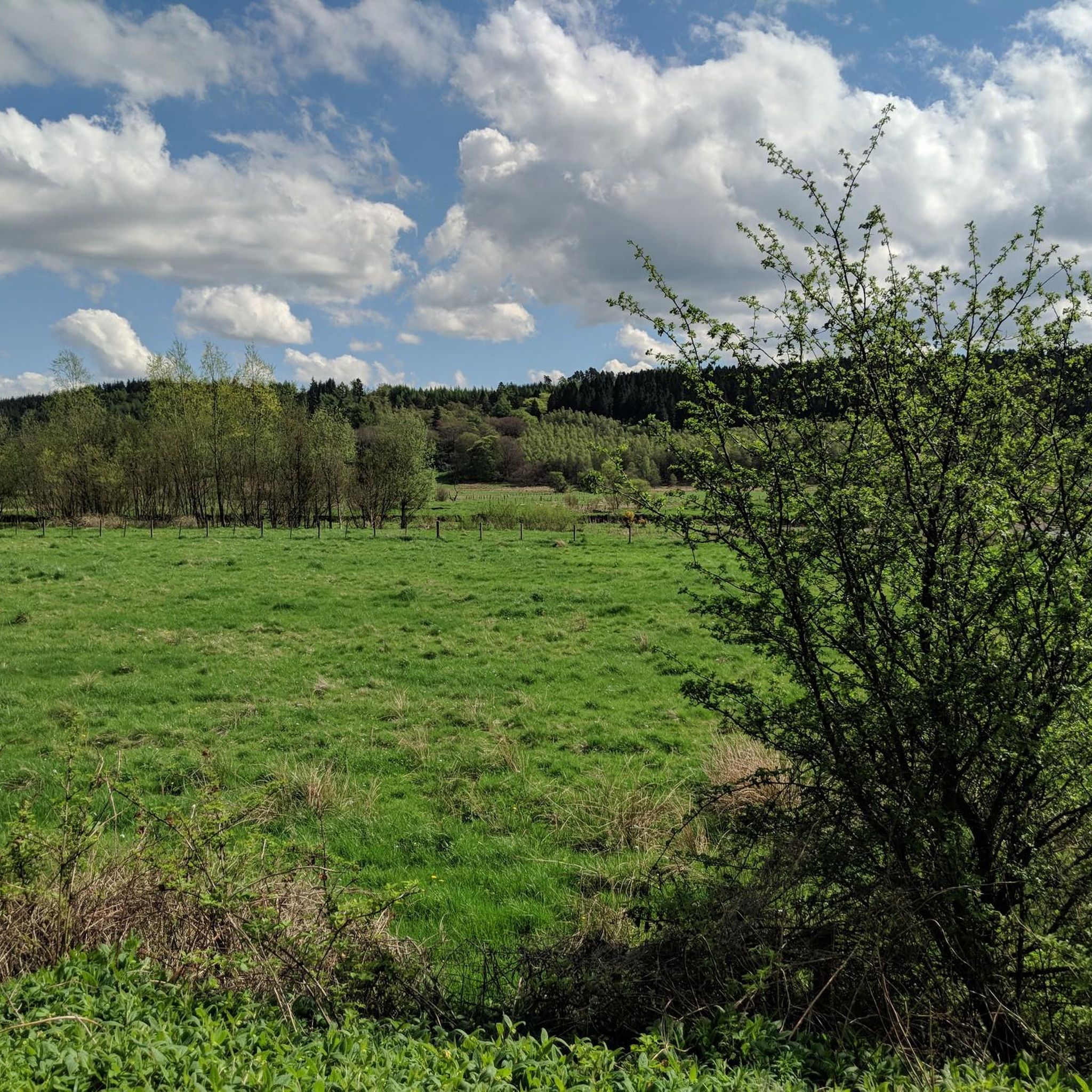
Hiking around Tillicoultry, Coalsnaughton And Devonside
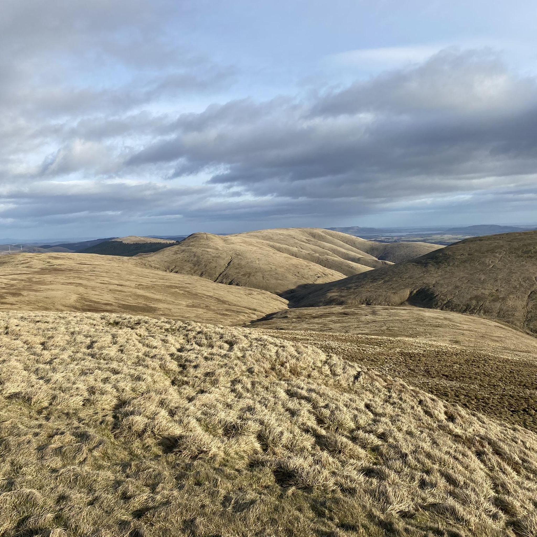
Running Trails around Tillicoultry, Coalsnaughton And Devonside
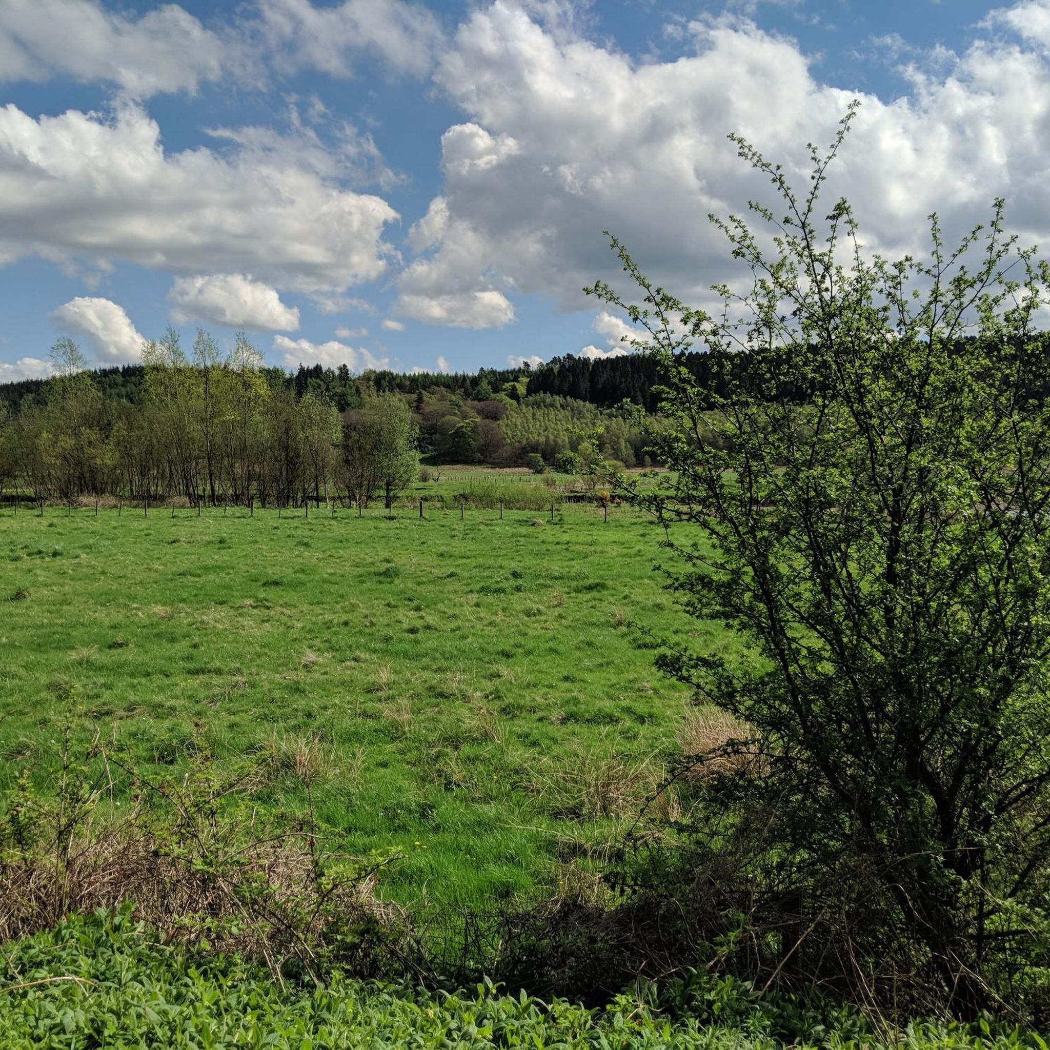
MTB Trails around Tillicoultry, Coalsnaughton And Devonside
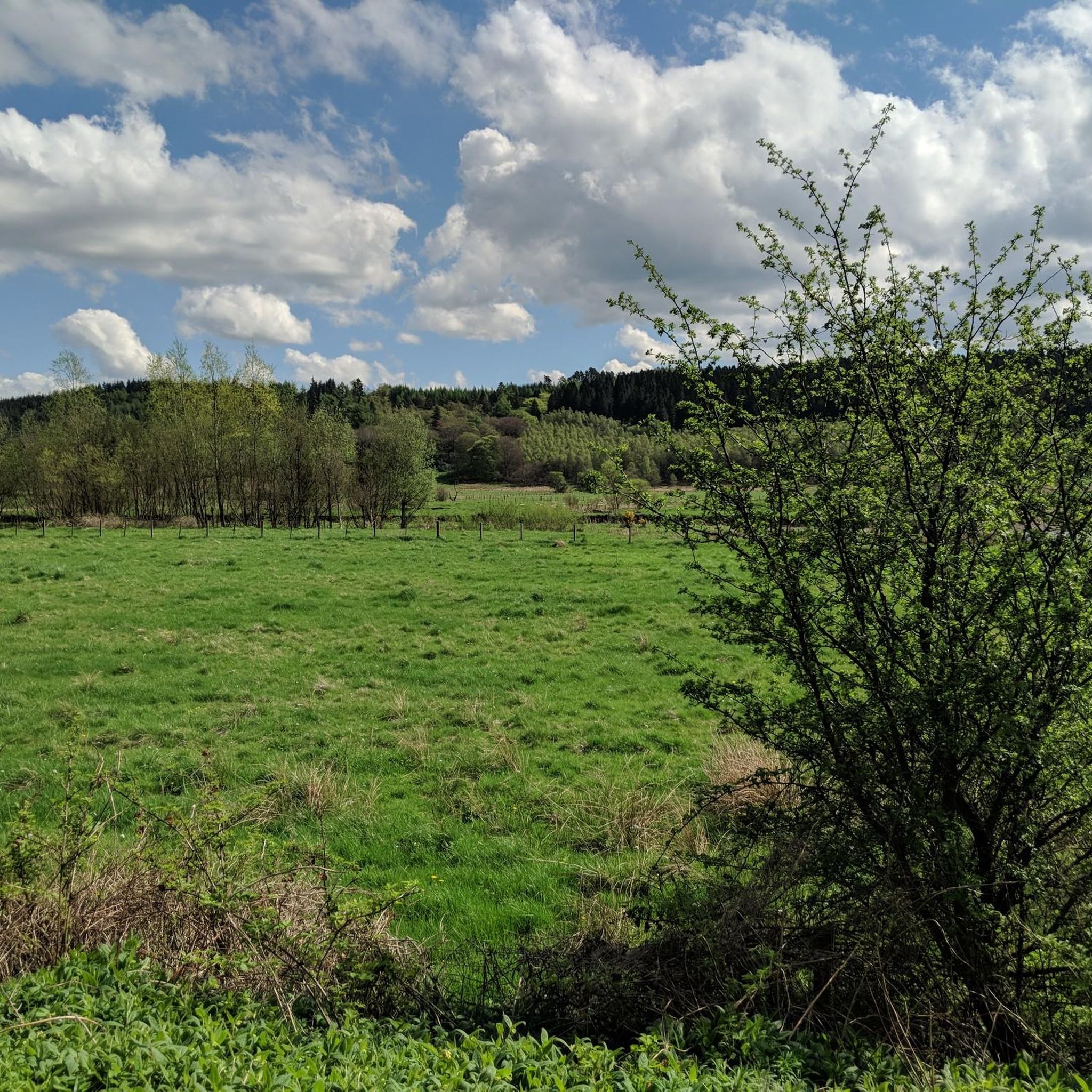
Road Cycling Routes around Tillicoultry, Coalsnaughton And Devonside
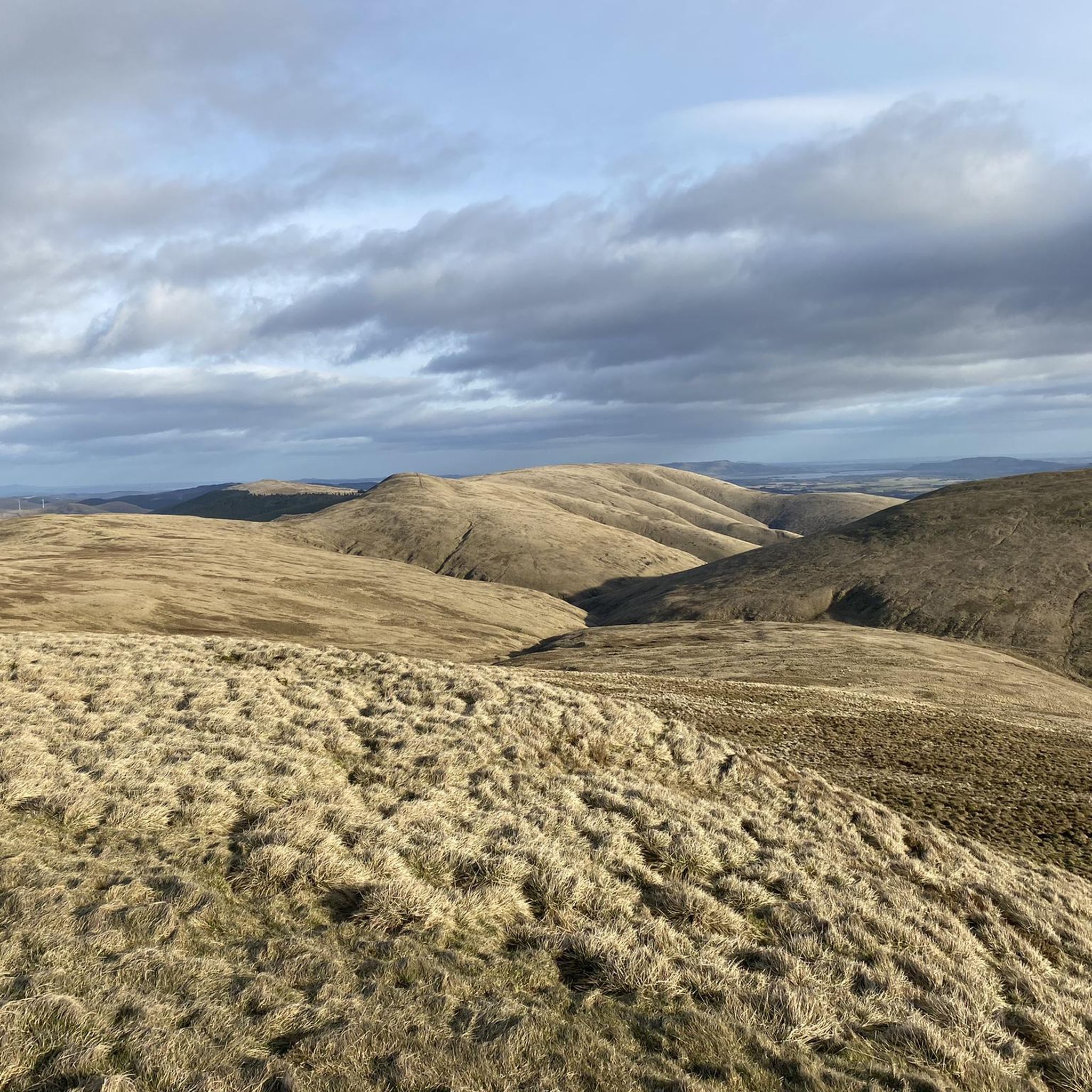
Cycling around Tillicoultry, Coalsnaughton And Devonside

Gravel biking around Tillicoultry, Coalsnaughton And Devonside
Other adventures around Tillicoultry, Coalsnaughton And Devonside

Tips from the Community

It was a great hike and very enjoyable. It’s not too long, but part of the trail involves climbing over some rocks, which can be a bit slippery if it’s wet. The path coming back down the backside is muddy, so if it’s been raining, it’s better to return the same way you went up.
0
0

You are afforded some wonderful views of Castlehill Reservoir from this point just off the main road. This is a great starting point to explore many of the delights this area has to offer, including Seamab and Commonedge Hill.
1
0


A short nice woodland run avoiding the road traffic.
1
0

Tricky to get last, especially if you have small dogs or little kids. Surprised there’s not been a temporary measure put in place.
1
0

The path is washed out for around ten metres but with good scrambling skills and care can be passed 😁
0
0

As of 2024 there is no immediate plans by the council to re-instate this trail.
1
0
Tillicoultry Clock Mill is a historic building that was once a woollen mill, producing plaids, tartan, blankets, and kilts. https://youtu.be/02xh6ceVyXk
0
0
Frequently Asked Questions
How many mountaineering routes are available in the Tillicoultry, Coalsnaughton, and Devonside area?
There are several mountaineering routes around Tillicoultry, Coalsnaughton, and Devonside, primarily within the Ochil Hills. These routes offer a range of difficulties, from easier ascents to challenging climbs up peaks like Ben Cleuch.
Are there any family-friendly mountaineering routes in the Ochil Hills?
Yes, for families or those seeking a less strenuous climb, the Dumyat Climb, Ochil Hills loop from University of Stirling is an excellent choice. This easy route offers panoramic views and is suitable for various activity levels.
Can I bring my dog on the mountaineering routes?
Many routes in the Ochil Hills are dog-friendly, but it's always best to check specific trail regulations. The area's natural landscapes, including glens and hills, provide ample opportunities for walks with your canine companion. Ensure your dog is well-behaved and kept on a lead where necessary, especially around livestock.
Are there any circular mountaineering routes in the region?
Yes, the area offers several circular routes. For a moderate challenge, consider the Seamab Hill – Commonedge Ridge loop from Castlehill Reservoir. If you're looking for a more difficult option, the The Law – Ben Cleuch loop from Clackmannanshire provides a significant ascent to the highest peak in the Ochils.
What natural features or landmarks can I expect to see along the routes?
The Ochil Hills are rich in natural beauty. You can expect to see deep ravines, picturesque glens, and numerous waterfalls, particularly in areas like Tillicoultry Glen and Alva Glen. Notable landmarks include the Dumyat Summit and Argyll and Sutherland Highlanders Memorial, and the Ben Cleuch summit. The Waterfalls of Alva Glen are particularly spectacular.
Where can I find parking for mountaineering trails in Tillicoultry, Coalsnaughton, and Devonside?
Parking availability varies by trailhead. For routes starting near the University of Stirling, such as the Dumyat Climb, you may find parking options around the university campus. For other routes, look for designated parking areas in the nearby towns or at specific trailheads, keeping in mind that some smaller car parks can fill up quickly during peak times.
What is the best season for mountaineering in the Ochil Hills?
Spring and autumn generally offer the most pleasant conditions for mountaineering, with cooler temperatures and often clearer skies. Summer can be enjoyable, but be prepared for warmer weather and potential midges. Winter mountaineering is possible but requires appropriate gear and experience due to snow, ice, and rapidly changing weather conditions.
Are there any routes suitable for advanced mountaineers?
Yes, the Ochil Hills offer challenging routes for experienced mountaineers. The The Law – Ben Cleuch loop from Clackmannanshire is a difficult 11.6 km path that ascends to Ben Cleuch, the highest peak, providing a significant challenge and requiring good fitness and alpine experience.
What do other mountaineers enjoy most about the routes in this area?
The area is highly rated by the komoot community, with an average score of 5.0 stars. Mountaineers often praise the varied terrain, the challenging peaks of the Ochil Hills, and the scenic glens and waterfalls. The panoramic views from summits like Dumyat are also frequently highlighted as a major draw.
Are there any viewpoints offering expansive vistas of the region?
Absolutely. The summit of Dumyat provides panoramic views across the Ochils, Fife, and Stirling. Another excellent spot is the Colsnaur Hill Summit Cairn, which offers another great vantage point over the surrounding landscape.
Are there any routes that feature waterfalls?
Yes, the glens in the Ochil Hills are known for their waterfalls. Alva Glen, for instance, is particularly noted for its spectacular gorge and several waterfalls, including the 23-meter Craighorn Fall. Tillicoultry Glen also features a network of trails leading to waterfalls and woodlands.
Most popular routes around Tillicoultry, Coalsnaughton And Devonside
Most popular attractions around Tillicoultry, Coalsnaughton And Devonside

Get inspired with the komoot mobile app


Explore more
Browse the best Mountain Hikes & Routes in other regions.
