The best running trails around Balaguier-Sur-Rance
4.2
(5)
131
runners
16
runs
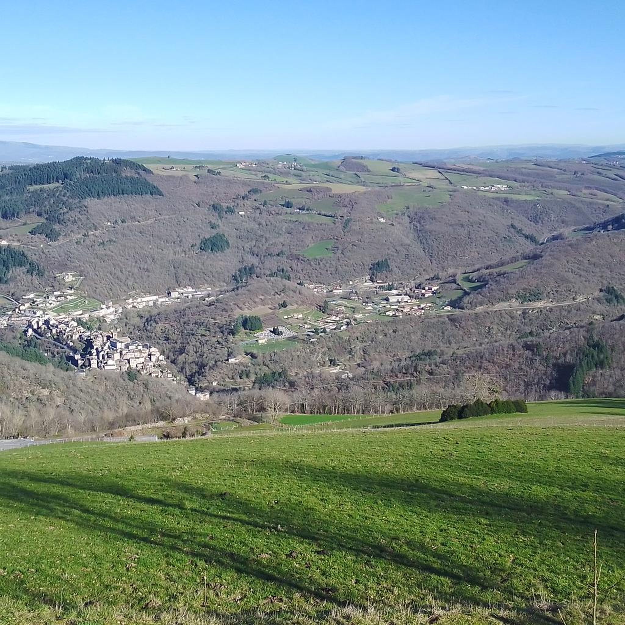
Jogging routes Balaguier-Sur-Rance traverse a landscape characterized by rolling hills, river valleys, and rural countryside. The region features varied terrain, including moderate ascents and descents, suitable for different running preferences. Elevations typically range from gentle slopes to more challenging climbs, with many routes offering views of the surrounding natural environment. The area provides a mix of open paths and shaded sections, often following natural waterways.
Best jogging routes around Balaguier-Sur-Rance
- The most popular jogging route is Gorges de l'Oulas loop…
Last updated: July 4, 2026
60
runners
27.0km
03:39
930m
930m
Hard run. Very good fitness required. Mostly paved surfaces. Suitable for all skill levels.
3.0
(1)
7
runners
6.63km
00:48
190m
190m
Moderate run. Good fitness required. Mostly paved surfaces. Suitable for all skill levels.

Sign up for free
5
runners
6.76km
00:48
170m
170m
Moderate run. Good fitness required. Mostly paved surfaces. Suitable for all skill levels.
5
runners
15.5km
01:57
460m
470m
Hard run. Very good fitness required. Mostly paved surfaces. Suitable for all skill levels.
5
runners
10.8km
01:21
340m
340m
Hard run. Very good fitness required. Mostly paved surfaces. Suitable for all skill levels.
Get access to more routes and recommendations from other explorers.
Sign up for free
Already have an account?
Our route recommendations are based on thousands of hikes, rides, and runs completed by other people on komoot.
Start today with a free account
Your next adventure awaits.
Login or Signup



Tips from the Community

Trebas Plage and its leisure center offers restaurants, cafes and many outdoor activities: hiking, tennis, handball, basketball, petanque, football, fishing, cycling Aqua Parc de Trébas is open from June to September. Swimming is supervised from 2:30 p.m. to 7 p.m. every day in July and August.
0
0

Saint-Sernin-sur-Rance is a small village with a rich architectural heritage with four listed buildings: the collegiate church, the town hall and two houses. The Saint-Martin hill offers a lovely view of the village.
1
0

Small city of character built on a particularly narrow rocky outcrop on a meander of the Rance. Pretty red sandstone houses and steep little streets.
1
0

Medieval village which is still quite preserved. For the moment...
0
0
Frequently Asked Questions
Are there easy or beginner-friendly running routes in Balaguier-Sur-Rance?
Yes, Balaguier-Sur-Rance offers a selection of routes suitable for beginners. There is 1 easy route and 7 moderate routes that provide a good starting point for less experienced runners. For example, the Running loop from Trébas is a moderate 4.1-mile path with scenic views and manageable elevation changes.
What is the typical length and duration of running trails in Balaguier-Sur-Rance?
Running trails in Balaguier-Sur-Rance vary significantly in length and duration. You'll find shorter, moderate loops like the Running loop from Alban, which is about 4.2 miles (6.7 km) and takes around 48 minutes. Longer, more challenging routes, such as the Gorges de l'Oulas loop from Alban, stretch for 16.8 miles (27.0 km) and can take over 3 hours 40 minutes to complete.
Are there any circular running routes available in the Balaguier-Sur-Rance area?
Many of the running routes around Balaguier-Sur-Rance are circular, offering convenient starting and ending points. Popular options include the Running loop from Trébas, the Running loop from Alban, and the Combret Medieval Village loop from Combret, allowing you to return to your starting location without retracing your steps.
What kind of terrain can I expect on jogging routes around Balaguier-Sur-Rance?
The terrain in Balaguier-Sur-Rance is diverse, characterized by rolling hills, river valleys, and rural countryside. You'll encounter a mix of open paths and shaded sections, often following natural waterways. Routes feature varied elevations, from gentle slopes to more challenging climbs, providing options for different running preferences.
What do other runners say about the jogging experience in Balaguier-Sur-Rance?
The running routes in Balaguier-Sur-Rance are highly regarded by the komoot community, with an average rating of 4.2 stars from over 5 reviews. More than 100 runners have explored the area, often praising the varied terrain and scenic beauty of the river valleys and rolling hills.
Are there any scenic viewpoints or notable landmarks along the running trails?
Yes, many routes offer scenic views of the natural environment. For cultural interest, the Combret Medieval Village loop from Combret takes you through varied terrain around the historic Combret Medieval Village. Another route, the Saint-Sernin-sur-Rance loop from Saint-Sernin-sur-Rance, passes through the charming settlement of Saint-Sernin-sur-Rance.
What are some interesting places to explore near the running routes in Balaguier-Sur-Rance?
Beyond the trails, the region offers several points of interest. You could visit the Trébas Beach and Leisure Center for relaxation, explore the historic Combret Medieval Village, or see the castle at Coupiac. These attractions provide a great way to complement your running adventures.
How many running routes are available in the Balaguier-Sur-Rance region?
There are 16 distinct running routes documented in the Balaguier-Sur-Rance region. These routes cater to various fitness levels, including 1 easy, 7 moderate, and 8 difficult trails, ensuring options for every runner.
Are there any running routes that feature significant elevation gain for a challenging workout?
Absolutely. For runners seeking a challenging workout with significant elevation gain, the Gorges de l'Oulas loop from Alban is an excellent choice. This difficult 16.8-mile (27.0 km) route features nearly 930 meters of ascent and descent through the Oulas gorges, providing a demanding experience.
What is the best time of year to go jogging in Balaguier-Sur-Rance?
The region's climate makes spring and autumn ideal for jogging, offering mild temperatures and beautiful scenery. Summer can also be pleasant, especially in the mornings or evenings, though some routes provide shaded sections. Winter running is possible, but conditions may vary, so checking local weather is always advisable.
Are there any routes that pass through or near historical sites?
Yes, the Combret Medieval Village loop from Combret is a prime example. This route leads you through varied terrain around the historic Combret Medieval Village, offering a chance to combine your run with a glimpse into the region's past.
Most popular attractions around Balaguier-Sur-Rance

Get inspired with the komoot mobile app


Explore more
Browse the best Running Trails & Routes in other regions.
