The best mountain hikes around Oberassel
4.9
(7)
13
hikers
2
hikes
Mountaineering routes around Oberassel are characterized by forested mountain slopes and trails offering significant elevation changes. The region features routes that ascend to viewpoints, providing vistas over surrounding landscapes and lakes. These paths navigate through varied terrain, suitable for those seeking mountain experiences.
Best mountaineering routes around Oberassel
- The most popular mountaineering route is View of Lake Alfeld loop from Ballon d'Alsace, a 6.3 miles (10.1 km) trail that takes 3 hours 42 minutes to complete. This moderate route…
Last updated: July 4, 2026
5.0
(3)
4
hikers
10.4km
03:49
640m
640m
Moderate mountaineering route. Good fitness required. Easily-accessible paths. Suitable for all skill levels.
5.0
(1)
3
hikers
Moderate mountaineering route. Great for any fitness level. Mostly accessible paths. Sure-footedness required.

Sign up for free
4.5
(2)
3
hikers
Easy mountaineering route. Great for any fitness level. Easily-accessible paths. Suitable for all skill levels.
Our route recommendations are based on thousands of hikes, rides, and runs completed by other people on komoot.
Start today with a free account
Your next adventure awaits.
Login or Signup
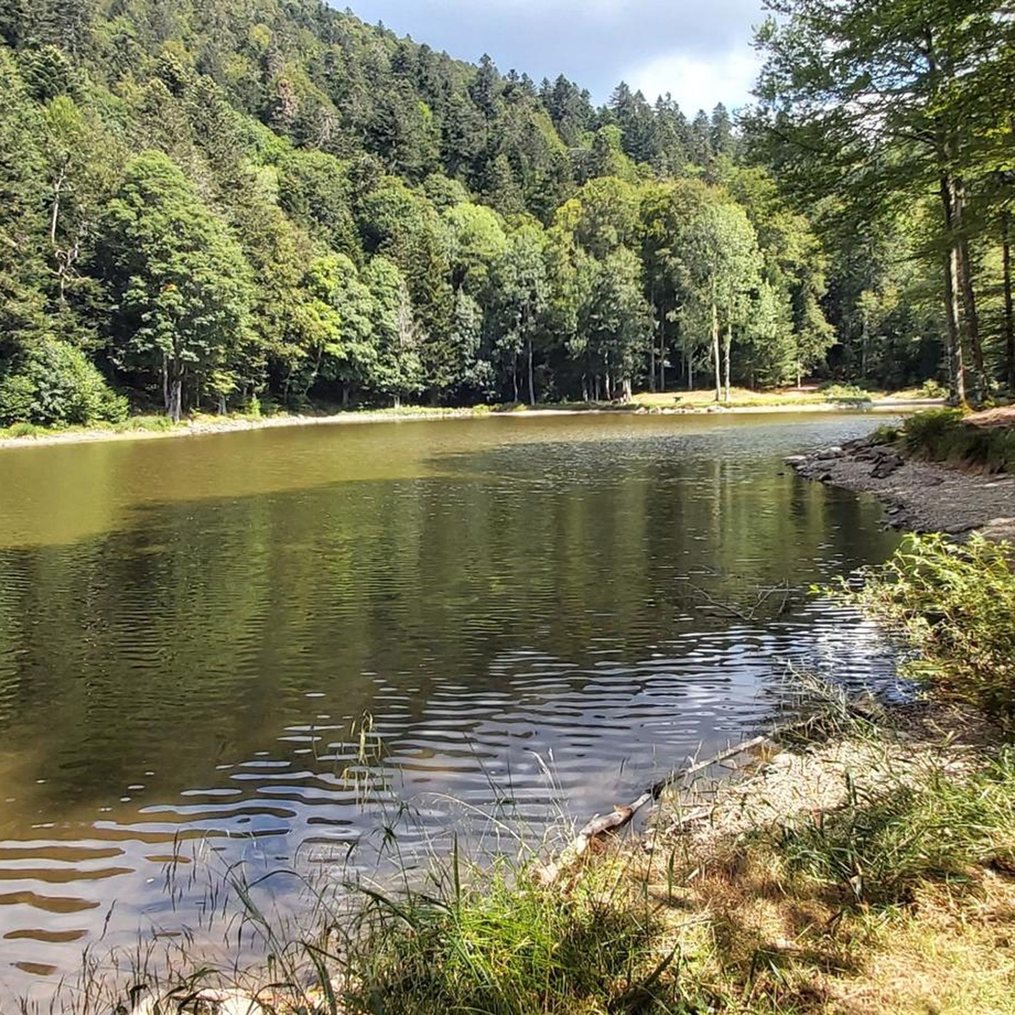
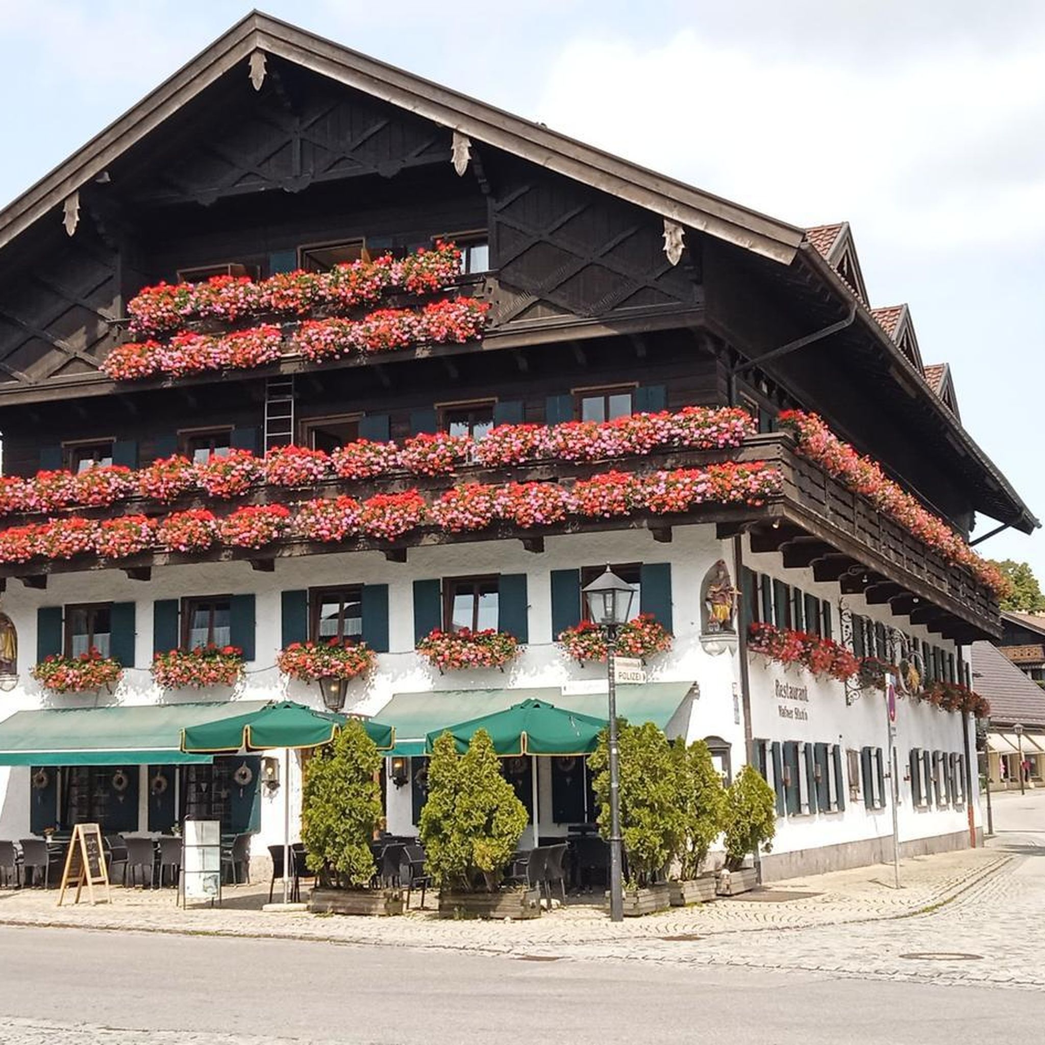
Tips from the Community

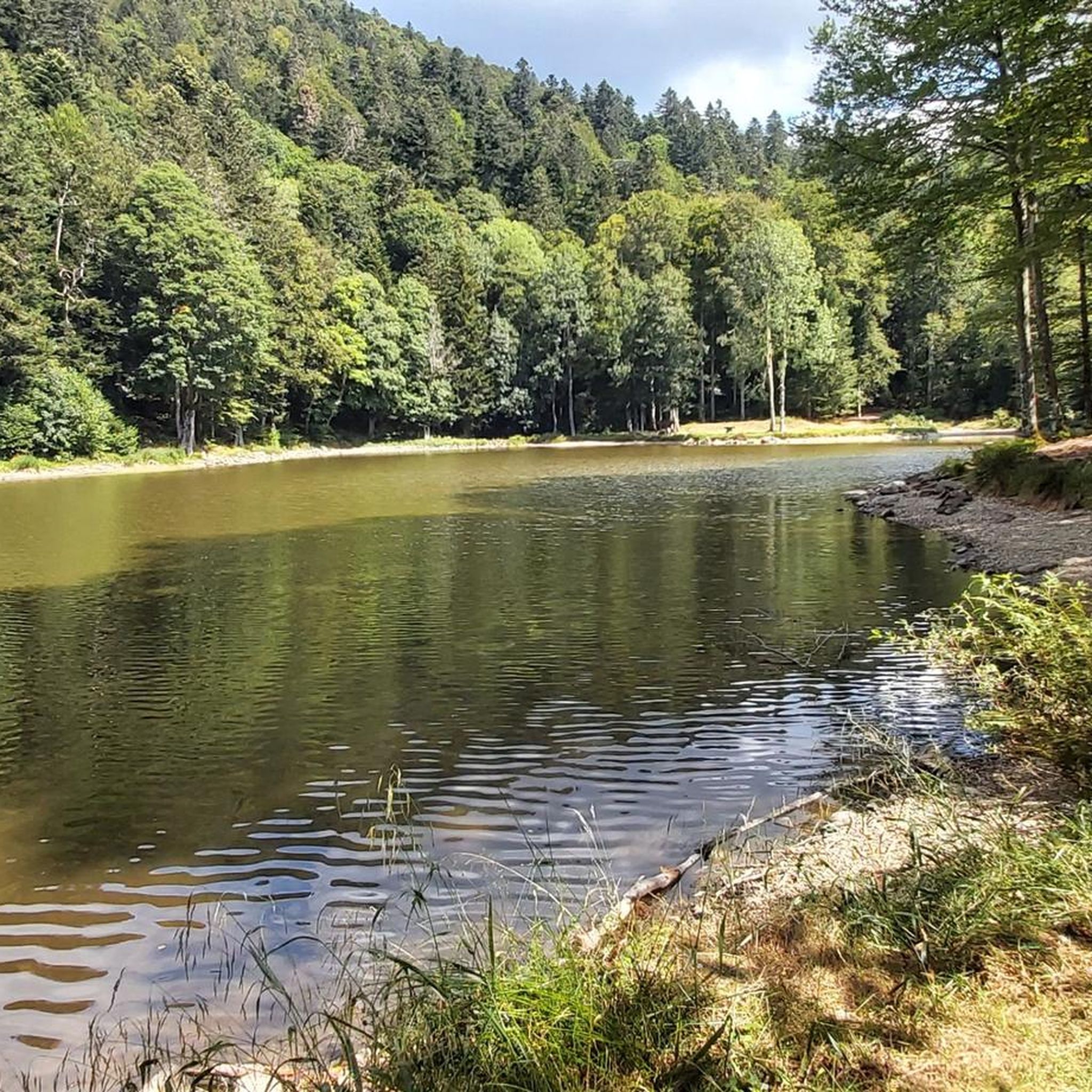
Too bad the dam is currently under construction.
0
0

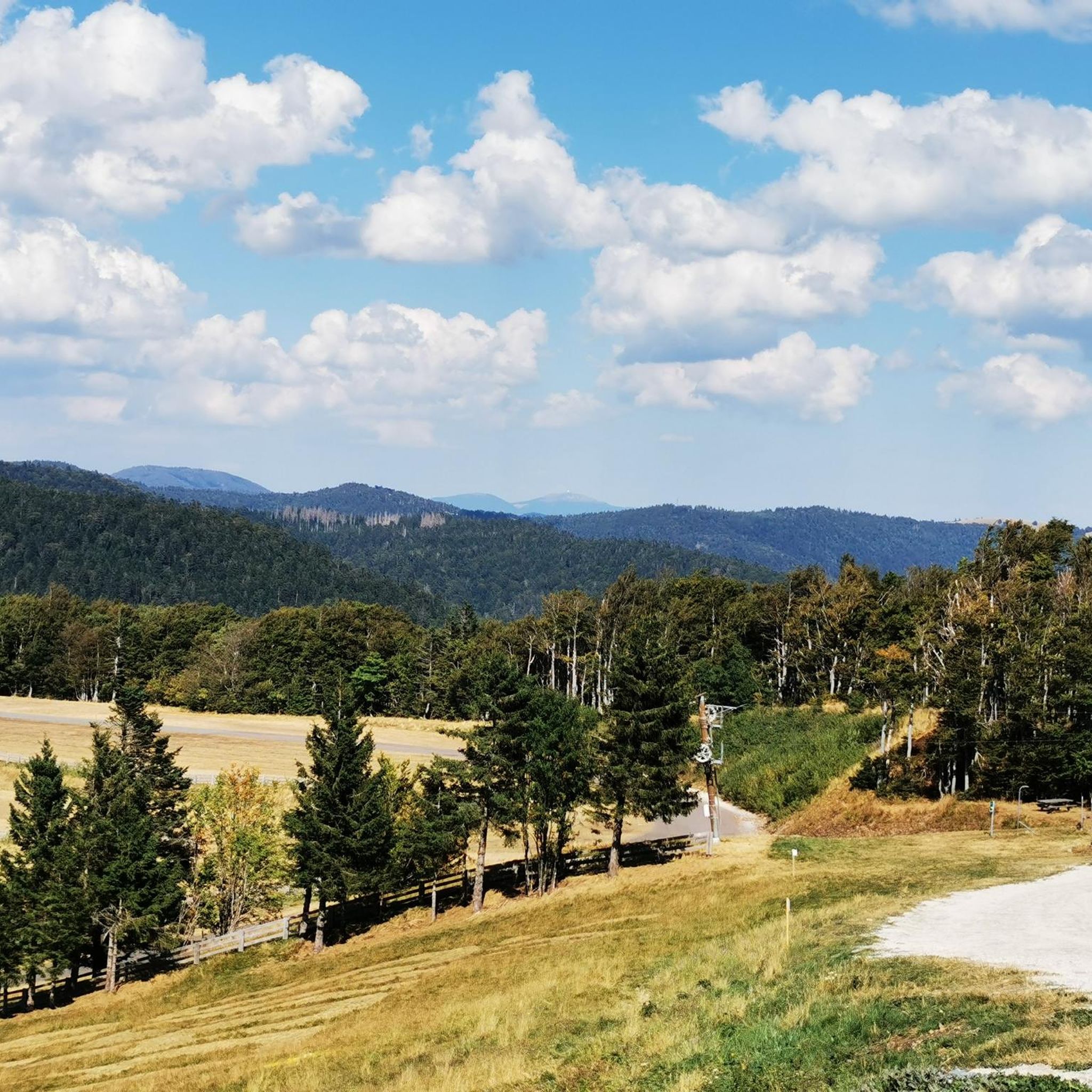
Hiking from the balloon over the mountain ridge through the High Vosges promises wonderful solitude and panoramic views.
0
0

Comfortable bench with a great view of the mountains.
1
0

Very interesting to see what is true
0
0
Very beautiful nature in the area.
0
0

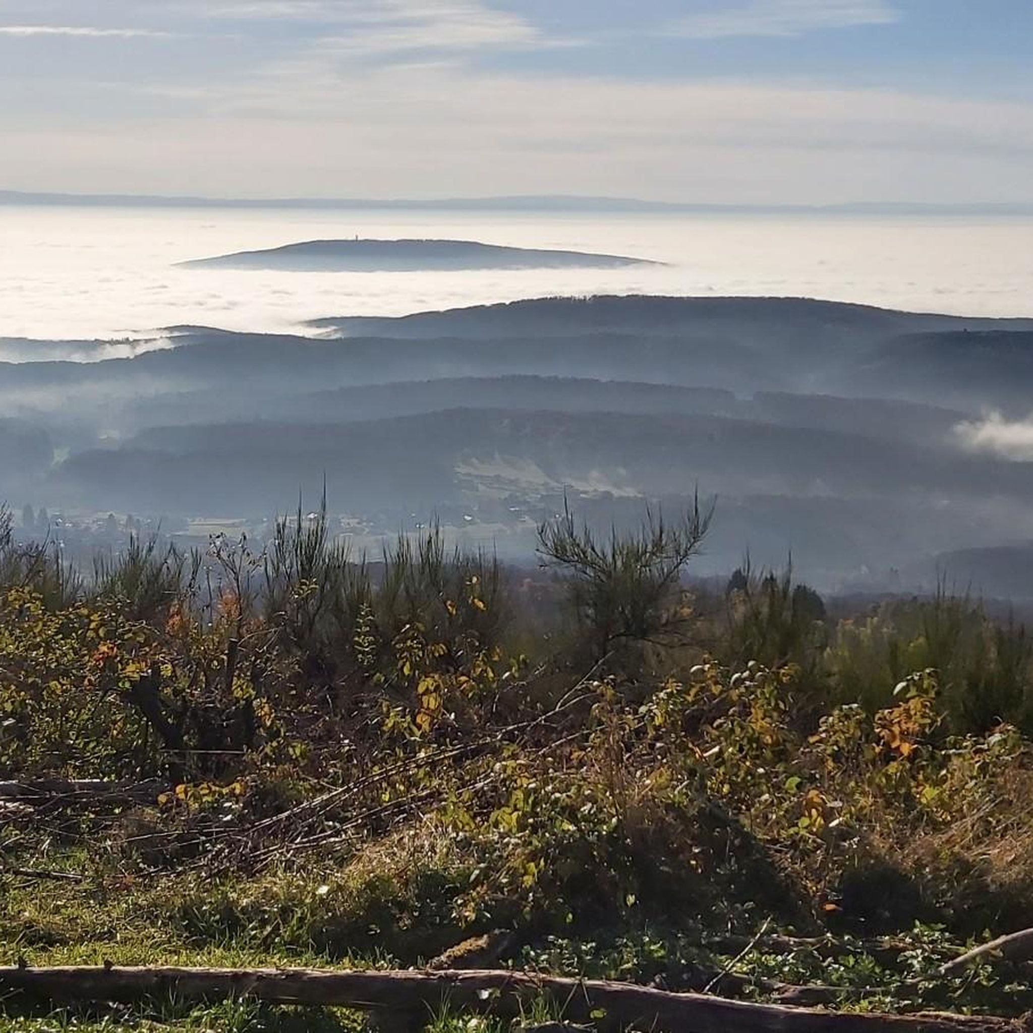
Magnificent panorama of the Vosges mountain range from the viewpoint on the Ballon d'Alsace.
1
0

It's superb but as always in this kind of place avoid busy times if possible.
0
0

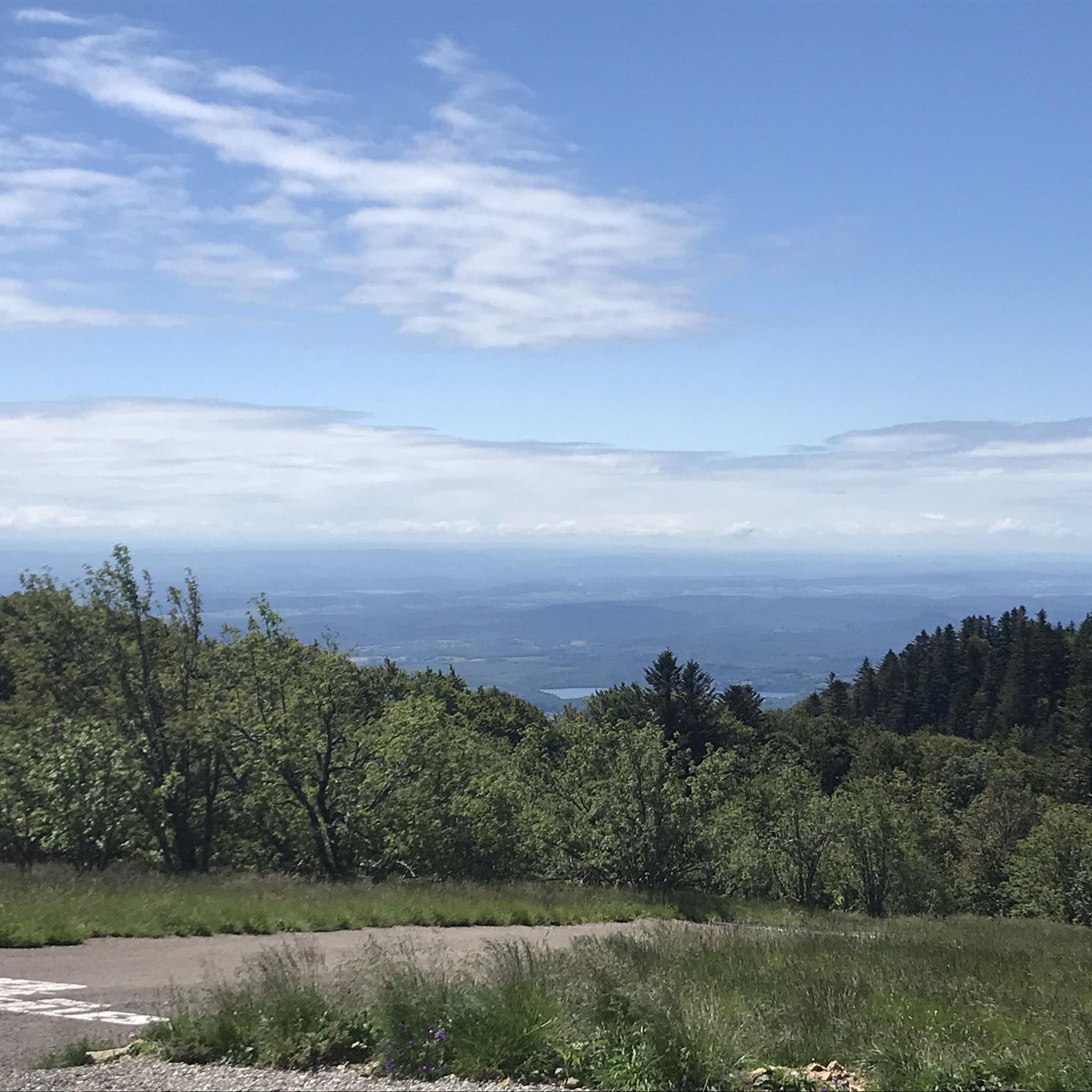
It is a beautiful walk with an incline to the summit, which is worth it just for the view all the way to the Alps - if the weather plays along!
3
1
Frequently Asked Questions
What kind of mountaineering routes can I expect around Oberassel?
The mountaineering routes around Oberassel are characterized by forested mountain slopes and trails with significant elevation changes. You'll find paths that ascend to viewpoints, offering vistas over surrounding landscapes and lakes. The terrain is varied, providing mountain experiences suitable for different ability levels.
How many mountaineering routes are available in the Oberassel area?
There are several mountaineering routes available, ranging from easy to moderate. The komoot community has explored at least four distinct routes in this area, offering a good selection for your next adventure.
Are there any easy mountaineering routes suitable for beginners?
Yes, there is at least one easy mountaineering route. The Ballon d'Alsace – Ballon d'Alsace loop from Col du Ballon d'Alsace is an easy 2.9 km (1.8 miles) trail, typically completed in about 50 minutes, making it a great option for those new to mountaineering or looking for a less strenuous outing.
What are some popular moderate mountaineering routes?
For a moderate challenge, you could try the View of Lake Alfeld loop from Ballon d'Alsace, a 10.1 km (6.3 miles) trail with substantial ascent, or the Ballon d'Alsace – Col de Ronde Tête loop from Saint-Maurice-sur-Moselle, which is 5.4 km (3.4 miles) and includes climbs through forested areas.
Are there any circular mountaineering routes in the Oberassel region?
Yes, many of the routes are designed as loops. For example, the View of Lake Alfeld loop from Ballon d'Alsace and the Col de Ronde Tête loop from Saint-Maurice-sur-Moselle are both popular circular options, allowing you to start and end at the same point.
What do other mountaineers think about the routes in Oberassel?
The routes in Oberassel are highly rated by the komoot community, with an average score of 4.8 stars from over 7 reviews. More than 12 mountaineers have used komoot to explore the varied terrain, indicating a positive and engaging experience for those who visit.
Are there any waterfalls to see along the mountaineering routes?
Yes, the area around Oberassel is home to several beautiful waterfalls. You might encounter highlights such as the Rummel Waterfalls, Small and Large Seebach Waterfalls, or the Champe Waterfalls. For more details, you can check out the Waterfalls around Oberassel guide.
What are some notable natural landmarks or viewpoints in the area?
The region offers several significant natural landmarks and viewpoints. You can explore areas like Ballon d'Alsace or Ballon de Servance, which are prominent summits. There are also mountain passes like Chevrères Pass that offer scenic vistas. Many routes are designed to provide views from higher elevations.
What is the typical duration for these mountaineering routes?
The duration varies depending on the route's length and difficulty. For instance, an easy route like the Ballon d'Alsace – Ballon d'Alsace loop can take around 50 minutes, while a moderate one like the View of Lake Alfeld loop might take approximately 3 hours and 42 minutes.
Are there any specific ascents or climbs highlighted in the area?
Yes, the region features notable ascents. You can find highlights such as the Ascent of the Ballon d'Alsace from Saint-Maurice-sur-Moselle and the Ascent of Col des Chevrères from Rexelaxert via Miellin, which are popular among mountaineers seeking a challenge.
What kind of terrain will I encounter on these mountaineering routes?
You will primarily encounter forested mountain trails. The routes often involve ascents to cols (mountain passes) and offer views from higher elevations, navigating through varied terrain that includes both gradual climbs and steeper sections.
Most popular routes around Oberassel
Most popular attractions around Oberassel

Get inspired with the komoot mobile app


Explore more
Browse the best Mountain Hikes & Routes in other regions.
