The best MTB trails around Vinje
3.0
(1)
35
riders
4
rides
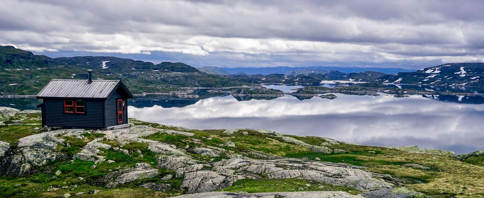
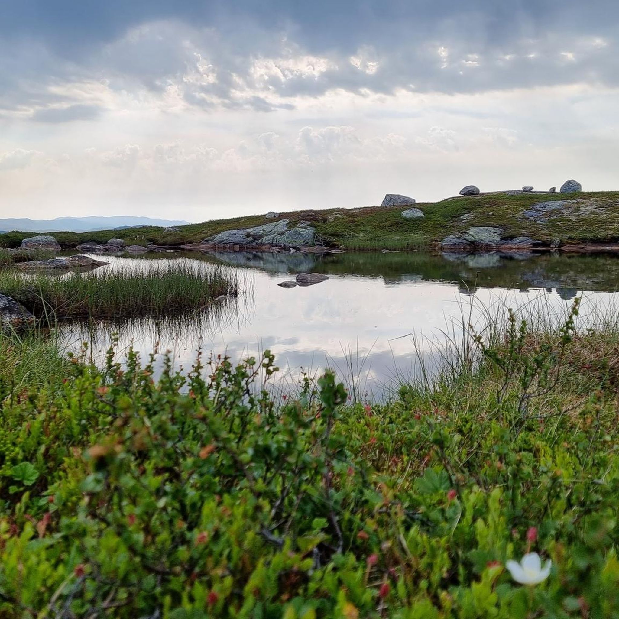
Mountain biking around Vinje offers diverse terrain across a high-elevation environment in Telemark county, Norway. The region encompasses parts of the Hardangervidda and Setesdalsheiene mountain plateaus, featuring rugged landscapes and numerous high peaks. Lower altitudes present spruce and pine forests, transitioning into majestic mountain areas closer to the tree line, with several large lakes like Møsvatn and Totak. This varied topography provides a range of mountain bike trails suitable for different skill levels.
Best mountain bike trails around Vinje
- The most popular mountain bike trail is Hesttjønn – Sandlandstjønn loop from Dalen, a moderate 27.6 miles (44.5 km) trail that takes about 3 hours 11 minutes to complete. This route explores the varied mountain landscape characteristic of Vinje.
- Another top favourite among local mountain bikers is Flatastøylfossen – Gjuvet loop from Hovden kapell, a difficult 18.1 miles (29.2 km) path. This trail features significant elevation gain through the rugged mountain terrain.
- Local mountain bikers also love the Lii – Hovdebruhytta loop from Hovden kapell, a 9.8 miles (15.8 km) trail leading through mountain and forest areas, often completed in about 1 hour 16 minutes.
- Mountain biking around Vinje is defined by high mountain plateaus, extensive forests, and numerous lakes. The network offers options for different ability levels, from moderate paths to more challenging routes with significant elevation gain.
- The guide includes highly-rated routes that showcase the best of the region's landscape. More than 30 mountain bikers have used komoot to explore Vinje's varied terrain.
Last updated: August 22, 2026
9
riders
44.2km
03:11
850m
850m
Moderate mountain bike ride. Good fitness required. Suitable for all skill levels.
3.0
(1)
6
riders
28.8km
02:50
700m
700m
Hard mountain bike ride. Good fitness required. Advanced riding skills necessary. Some portions of the route may require you to push your bike.

Sign up for free
6
riders
15.5km
01:15
230m
230m
Moderate mountain bike ride. Great for any fitness level. Advanced riding skills necessary.
4
riders
48.7km
03:00
570m
570m
Moderate mountain bike ride. Good fitness required. Suitable for all skill levels.
4
riders
16.3km
01:13
190m
190m
Easy mountain bike ride. Great for any fitness level. Suitable for all skill levels.
Our route recommendations are based on thousands of hikes, rides, and runs completed by other people on komoot.
Start today with a free account
Your next adventure awaits.
Login or Signup


Tips from the Community

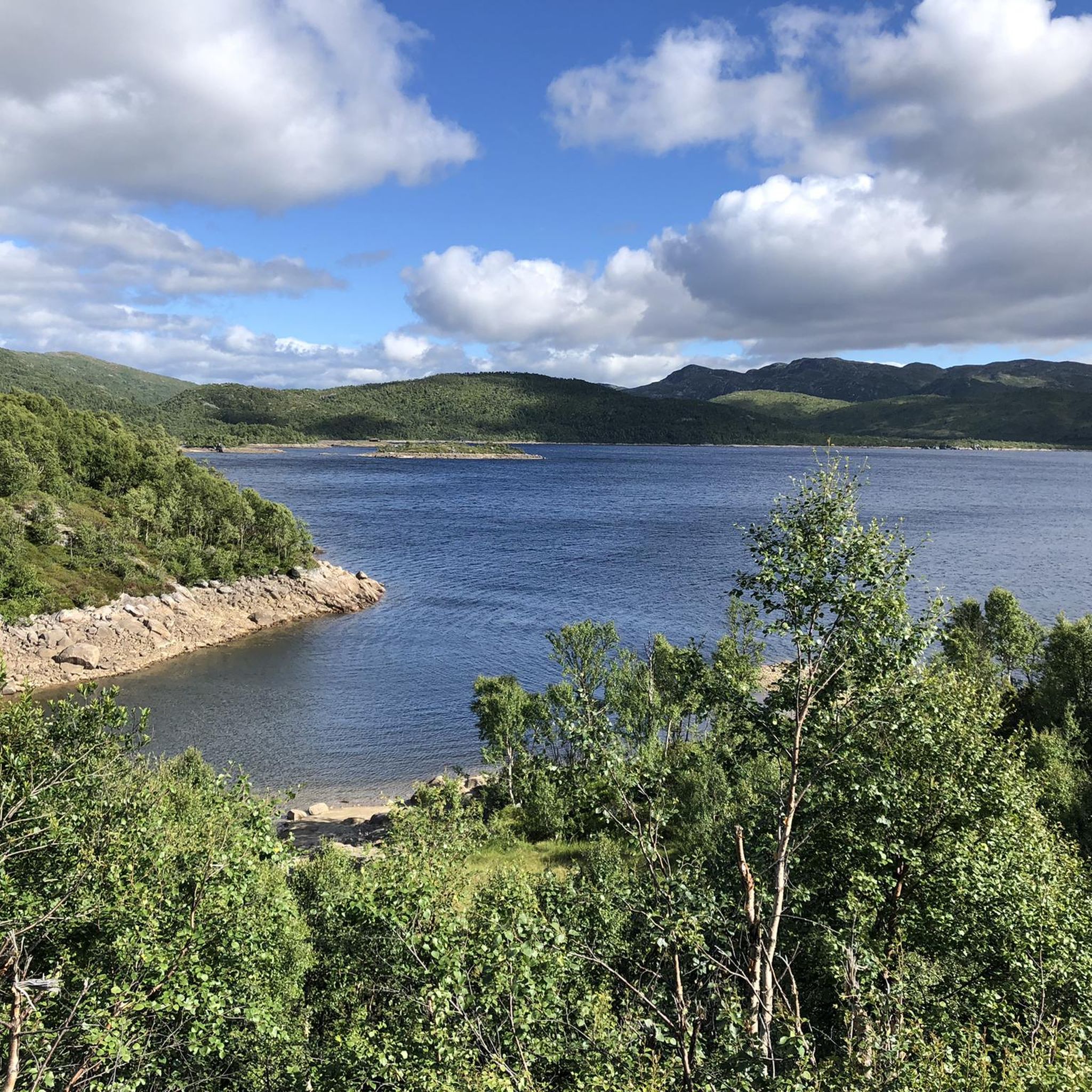
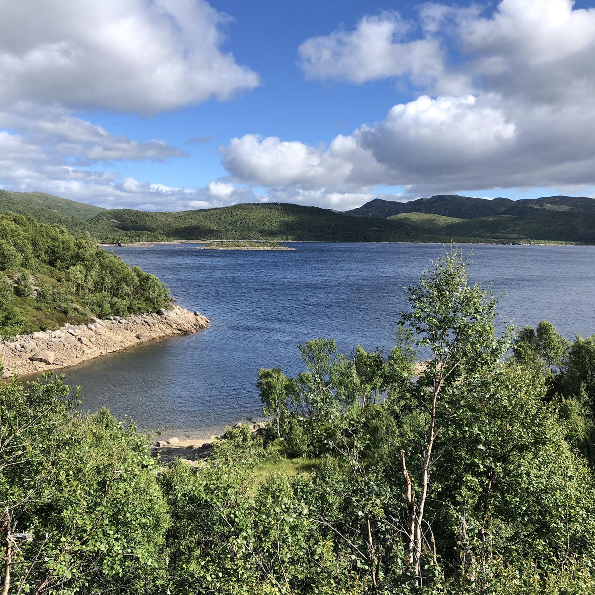
This road offers a spectacular panorama: on one side, the dense forest seems to embrace you, while on the other, calm waters are dotted with islets and boats moving slowly.
0
0

Super and quiet bike roads. Great nature and beautiful spots to make a stop for picknick.
1
0
Nice and quiet bike roads. Great nature and beautiful spots to make a stop for picknick.
0
0

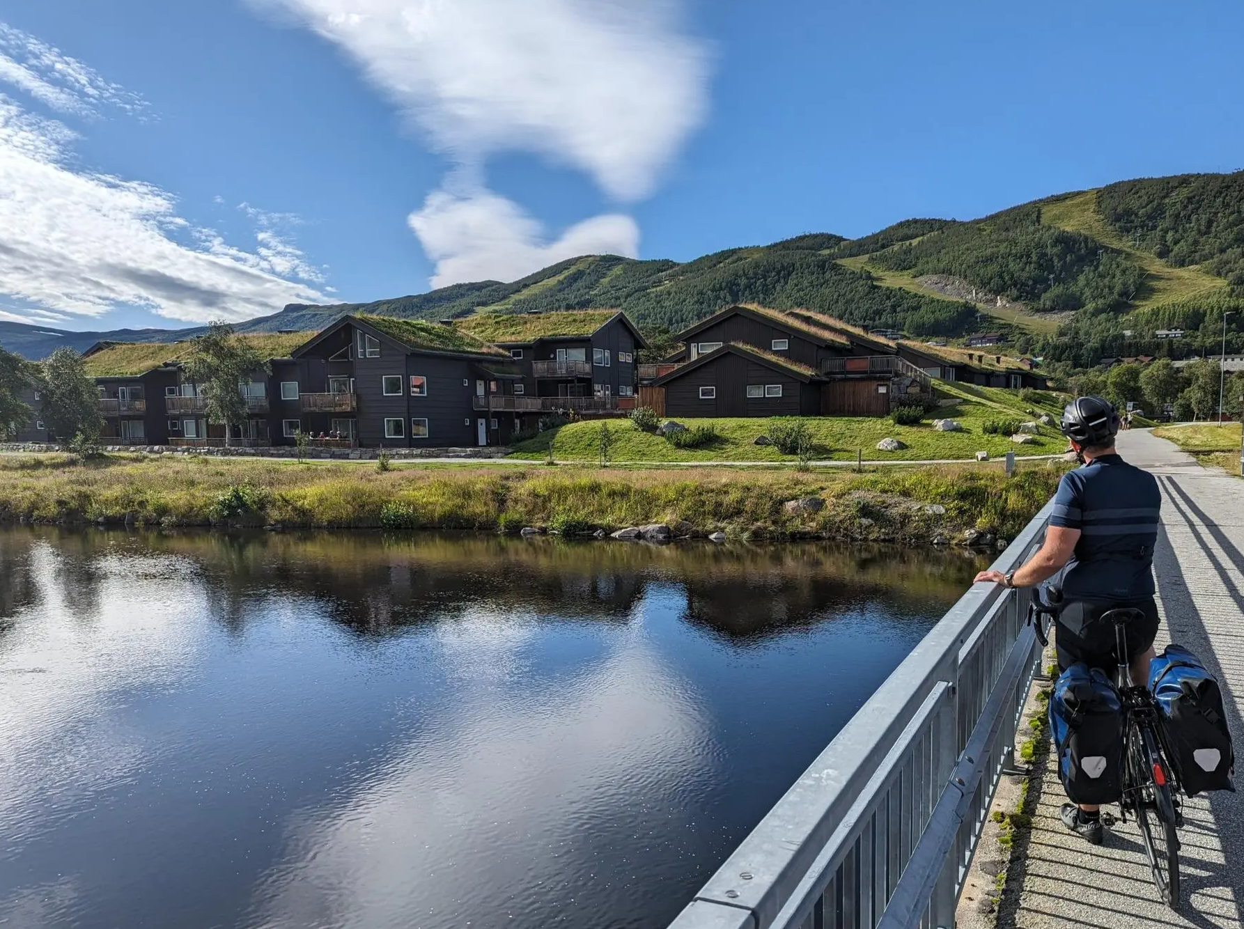
Between the houses there are some very well preserved or restored historic storage huts.
0
0
Here, above Bandaksli, in a former looping bend, there is now a wonderful rest area with a table and benches. The view over Lake Bandak is fantastic.
1
0
Frequently Asked Questions
What are the typical difficulty levels for mountain biking in Vinje?
Vinje offers a range of mountain bike trails, from moderate paths suitable for many riders to more challenging routes with significant elevation gain. For instance, the Hesttjønn – Sandlandstjønn loop from Dalen is a moderate trail, while the Flatastøylfossen – Gjuvet loop from Hovden kapell is considered difficult due to its rugged mountain terrain and elevation.
How long do mountain bike tours typically take in Vinje?
The duration of mountain bike tours in Vinje varies depending on the route and your pace. For example, the moderate Lii – Hovdebruhytta loop from Hovden kapell can be completed in about 1 hour 16 minutes, covering 9.8 miles (15.8 km). Longer routes like the Mjåvatn – Brandland loop from Austbø, at 30.2 miles (48.6 km), typically take around 3 hours.
Are there any mountain bike trails that offer panoramic views in Vinje?
Yes, Vinje's high-elevation environment, encompassing parts of the Hardangervidda and Setesdalsheiene mountain plateaus, provides stunning vistas. The old gravel mountain road known as Vinjevegen, for example, offers panoramic views as it ascends from forests into majestic mountain terrain. Many trails will feature viewpoints of the numerous lakes and peaks in the region.
What kind of landscapes can I expect to see while mountain biking in Vinje?
Mountain biking in Vinje takes you through incredibly diverse landscapes. You'll encounter rugged mountain terrain, extensive spruce and pine forests at lower altitudes, and majestic mountain areas closer to the tree line. The region is also dotted with several large lakes like Møsvatn and Totak, adding to the scenic beauty.
What is the best time of year for mountain biking in Vinje?
The best time for mountain biking in Vinje is typically during the warmer months, from late spring to early autumn, when trails are free of snow and ice. This high-elevation region experiences significant snow cover in winter, making many trails inaccessible for biking. Summer offers the most favorable conditions to explore the varied terrain.
Are there any circular mountain bike routes in Vinje?
Yes, many of the mountain bike trails in Vinje are designed as loops, allowing you to start and end at the same point. Examples include the Hesttjønn – Sandlandstjønn loop from Dalen and the Lii – Hovdebruhytta loop from Hovden kapell, which are popular choices for exploring the region.
What interesting natural landmarks or attractions can I find near mountain bike trails in Vinje?
Vinje is rich in natural attractions. You can find impressive peaks like Falkenuten Summit (1096 m), which offers fantastic views. The region also features numerous lakes, including Ståvatn Lake, and unique geological formations like Urdbøuri, Northern Europe's largest stone scree in Arabygdi.
Are there any cultural or historical sites to visit after mountain biking in Vinje?
Absolutely. Vinje offers several cultural and historical sites. You could visit the beautiful Eidsborg Stave Church, dating back to the mid-13th century, or the Vest-Telemark Museum. The Smørklepp Art Museum and Vinjesenteret, a national center for poetry and journalism, are also notable attractions. The Midtbø homestead, former home of famous authors, is open during tourist season.
Is it possible to find accommodation or places to eat near the mountain biking areas in Vinje?
Yes, Vinje has options for accommodation and dining. Haukeliseter Fjellstue is a fantastically located mountain hut that serves as Norway's largest hiking association hostel, offering both accommodation and a restaurant. The municipality also has many thousands of mountain cabins, and local villages will provide additional services.
Are there any particularly challenging mountain bike routes for experienced riders in Vinje?
For experienced riders seeking a challenge, Vinje offers routes with significant elevation gain and rugged terrain. The Flatastøylfossen – Gjuvet loop from Hovden kapell is a difficult 18.1-mile (29.2 km) path known for its demanding climbs and technical sections. Another challenging option is the Anetjønn – Breilstjønn loop from Dalen, which features over 900 meters of elevation gain.
Can I bring my dog on mountain bike trails in Vinje?
While many outdoor areas in Norway are dog-friendly, specific rules may apply, especially within Hardangervidda National Park, where a significant portion of Vinje lies. Dogs are generally welcome but must be kept on a leash in national parks and protected areas, particularly during bird nesting seasons and when livestock are present. Always check local regulations before heading out with your dog.
Are there any easy or beginner-friendly mountain bike trails in Vinje?
While many routes in Vinje feature varied terrain, some sections or shorter loops might be suitable for beginners or those looking for a less strenuous ride. The guide includes one easy route, but generally, the trails are categorized as moderate to difficult. It's advisable to check the route profiles on komoot for specific details on elevation and technical difficulty to find the best fit for your skill level.
Most popular routes around Vinje
Most popular attractions around Vinje

Get inspired with the komoot mobile app


Explore more
Browse the best MTB trails in other regions.
