The best road cycling routes around Flå
7
riders
3
rides
Road cycling routes around Flå traverse the Hallingdal valley, a region characterized by diverse mountainous terrain, vast forests, and significant elevation changes. The landscape includes features such as the protected Vassfaret valley and peaks reaching up to 1466 meters above sea level. Road cyclists can expect routes with substantial climbs and descents, offering a challenging experience through the Norwegian wilderness. The area's topography provides a varied backdrop for road cycling, from valley floors to higher mountain roads.
Best road cycling…
Last updated: May 17, 2026
3
riders
143km
07:36
1,790m
1,790m
Hard road ride. Very good fitness required. Some segments of this route may be unpaved and difficult to ride.
2
riders
128km
06:39
1,960m
1,960m
Hard road ride. Very good fitness required. Some segments of this route may be unpaved and difficult to ride.

Sign up for free
2
riders
108km
07:20
2,010m
2,010m
Hard road ride. Very good fitness required. Some segments of this route may be unpaved and difficult to ride.
Our route recommendations are based on thousands of hikes, rides, and runs completed by other people on komoot.
Start today with a free account
Your next adventure awaits.
Login or Signup
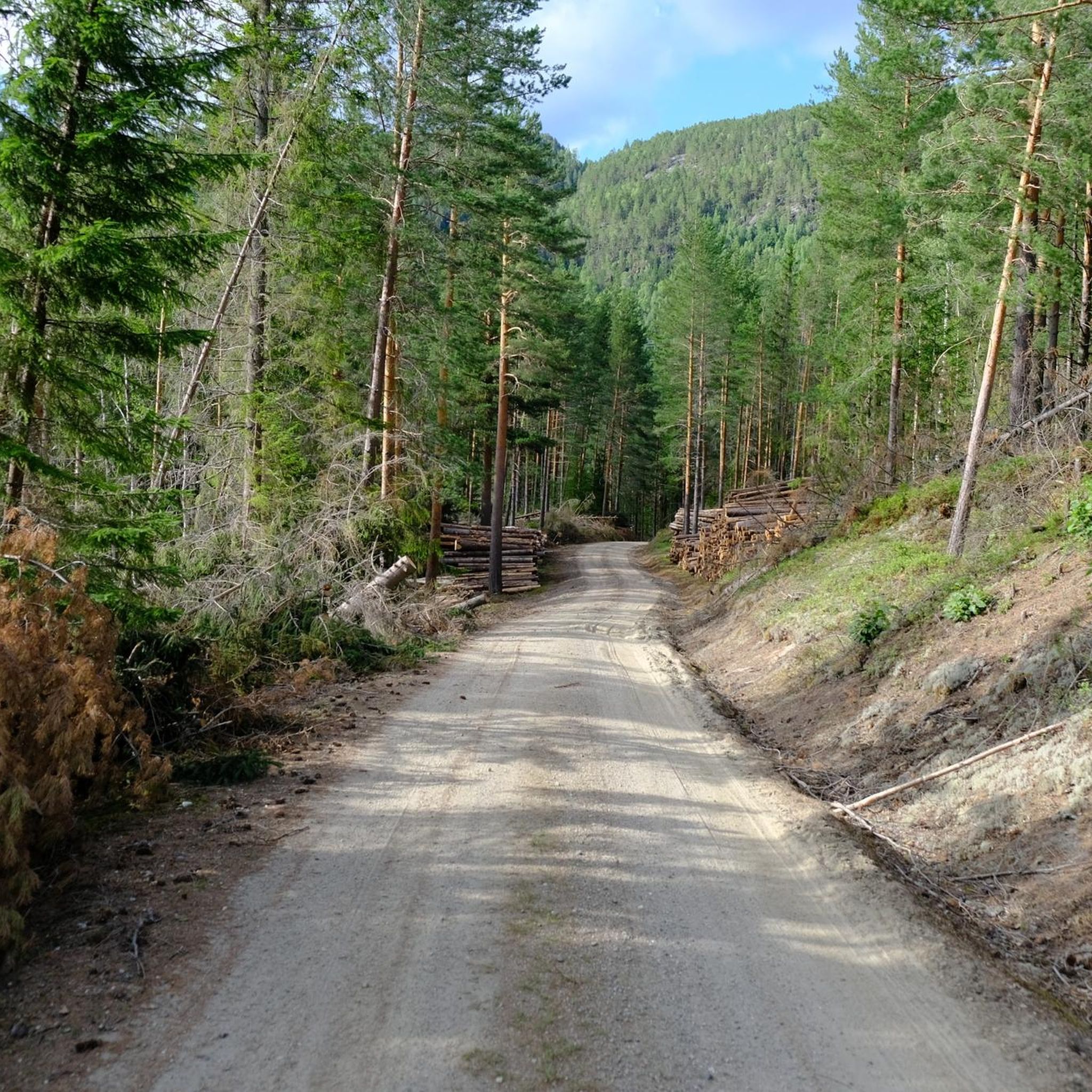
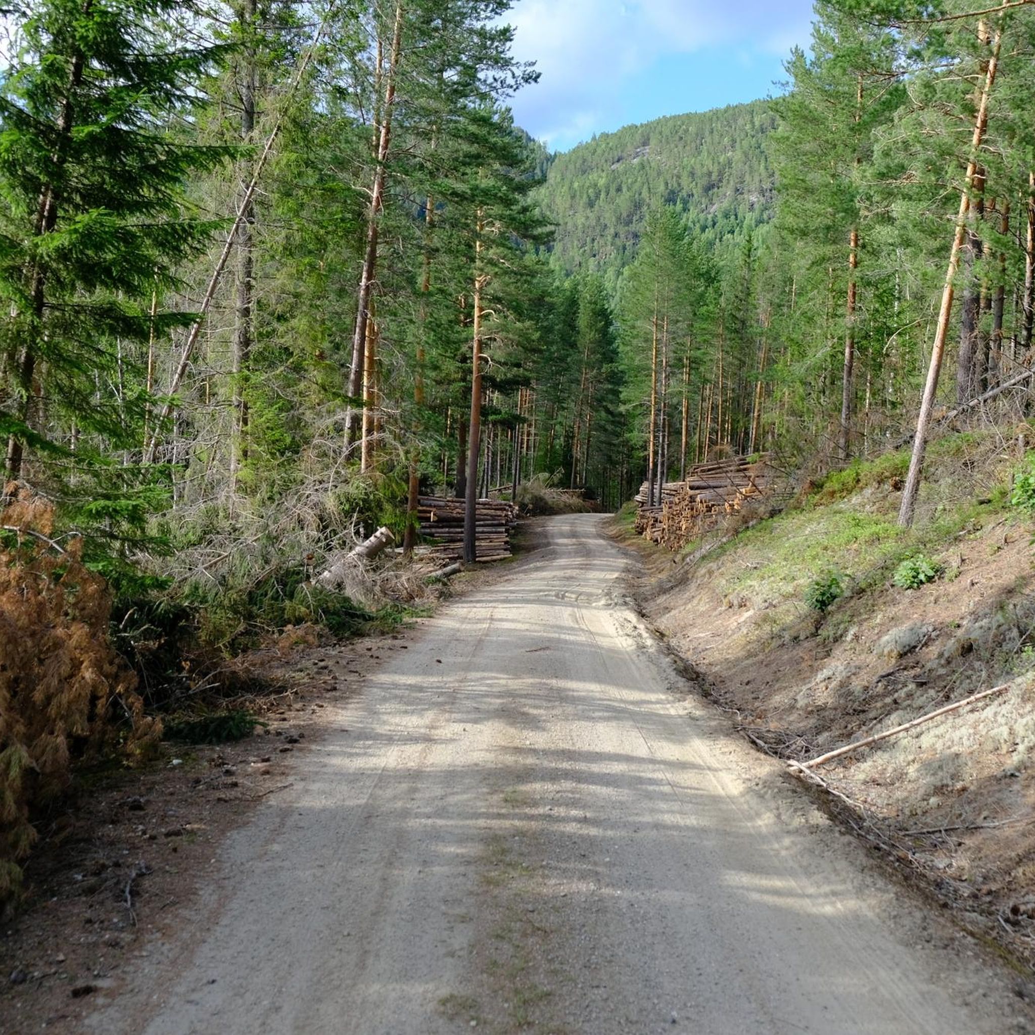
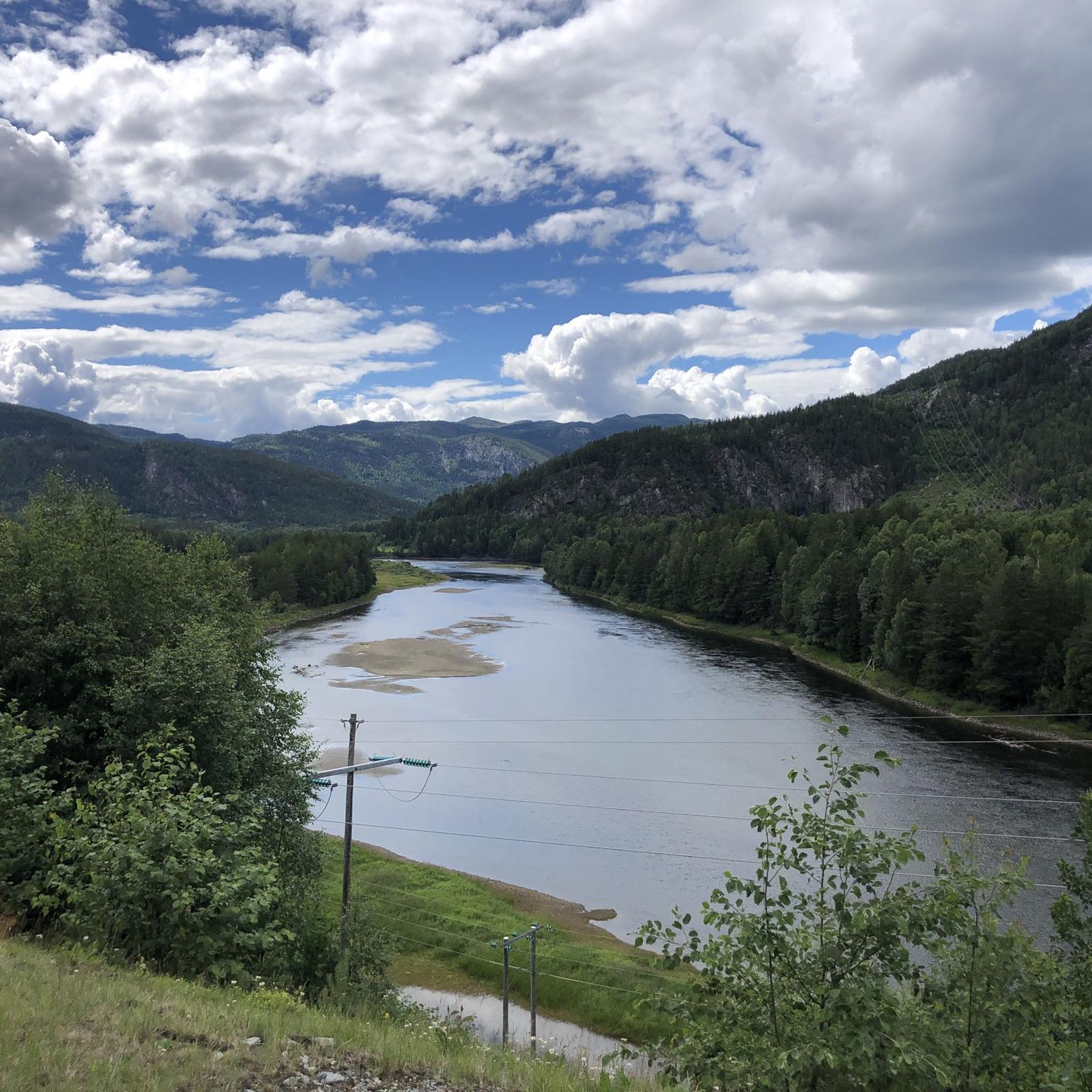
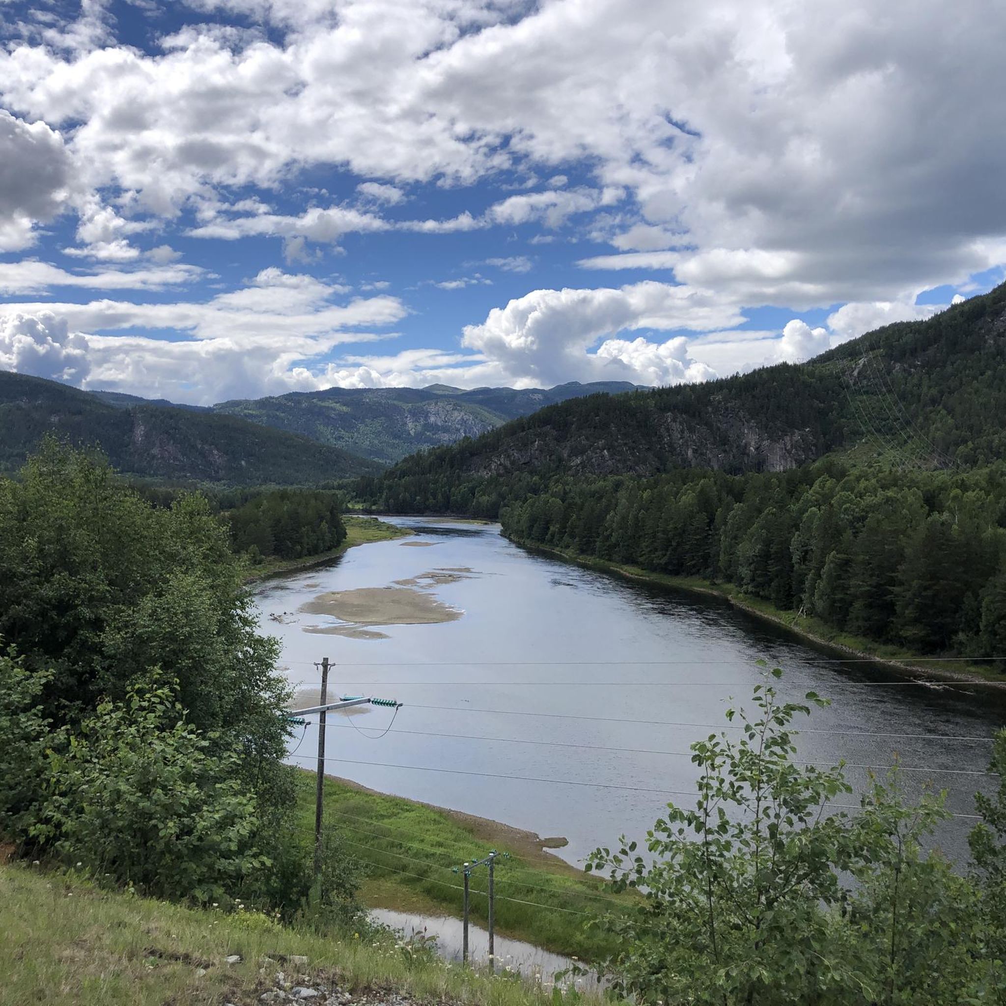
Tips from the Community

Update July 2025: A new bridge has been added here. Not pretty - but functional and unfortunately no longer a suspension bridge.
0
0
View from the bridge over the river Hallingdalselve - beautifully situated in a great landscape.
0
0
On the main road along the Hallingdalselve river - beautiful scenery everywhere!
0
0
Beautiful old steel bridge over the river 'Hallingdalselve' with wooden planks.
0
0

Currently closed due to bridge renewal Update: bridge has been built.
0
0
Frequently Asked Questions
How many road cycling routes are available in Flå?
There are currently 4 road cycling routes detailed in this guide for the Flå area. These routes are designed to showcase the diverse mountainous terrain and forests of the Hallingdal valley.
What kind of terrain can I expect on road cycling routes around Flå?
Road cycling in Flå primarily features mountainous terrain within the picturesque Hallingdal valley, characterized by vast forests and significant elevation changes. You can expect routes with substantial climbs and descents, offering a challenging experience through the Norwegian wilderness. The landscape includes features like the protected Vassfaret valley and peaks reaching up to 1466 meters above sea level.
Are there any easy road cycling routes in Flå for beginners?
The routes currently featured in this guide for Flå are generally considered difficult, involving significant elevation gains and longer distances. For those new to road cycling or seeking a more relaxed experience, the region is actively developing its cycling infrastructure, including paved pump tracks at Turufjell, which might offer a different kind of cycling experience, though not traditional road cycling routes.
Can I find challenging road cycling routes in Flå?
Yes, Flå is an excellent destination for challenging road cycling. All routes in this guide are rated as difficult, featuring considerable elevation gains. For example, the Hallingdalselve River – View of the Hallingdal River loop from Flå includes nearly 2,000 meters of ascent over 127.5 km, providing a demanding ride through the valley.
Are there road cycling routes that offer scenic views or viewpoints?
Absolutely. The mountainous landscape of Flå provides numerous opportunities for scenic views. Routes often traverse areas with expansive vistas, such as the Hallingdalselve River – View of the Hallingdal River loop from Flå, which offers extensive views along the Hallingdal River. Additionally, highlights like View of the Mountain Plateau and Lake with Cabin and View of Lake Krøderen are points of interest that offer stunning perspectives of the region's natural beauty.
Are there any circular road cycling routes in Flå?
Yes, all the road cycling routes listed in this guide are designed as loops, allowing you to start and finish at the same point. Examples include the Strawberry Fields – Haugfoss loop from Krøderen and the Glomsrudnatten – Sevrefossen loop from Flenta, providing convenient options for exploring the area.
What attractions or natural features can I see along the road cycling routes?
While cycling, you can encounter various natural features and attractions. The routes often pass through or near the protected Vassfaret valley, known for its forests and lakes. You might also find highlights such as Trollfossen waterfall, the summit of Ravnåstoppen (1,188 m), or the Vassfaret Nature Reserve. The region is also home to Bjørneparken (The Bear Park), a major wildlife attraction, though it might require a detour from the main cycling routes.
What is the best season for road cycling in Flå?
The best season for road cycling in Flå is typically during the warmer months, from late spring through early autumn. Summer offers pleasant temperatures and longer daylight hours, ideal for tackling the longer and more challenging routes. The region's natural beauty, with lush mountain valleys and forests, is particularly vibrant during this time.
Where can I find waterfalls or other natural landmarks near the routes?
Flå's landscape is rich with natural landmarks. You can find Trollfossen, a notable waterfall, and the Vassfaret Nature Reserve, a vast forested area with lakes and mountain peaks. The Glomsrudnatten – Sevrefossen loop from Flenta specifically leads past Sevrefossen, offering a chance to experience one of these natural wonders.
What makes road cycling in Flå unique compared to other regions?
Road cycling in Flå stands out due to its location as the southern gateway to the Hallingdal valley, offering a blend of 'wild and beautiful Norwegian nature.' The region is actively developing its cycling infrastructure, aiming to become a world-class destination. You'll experience diverse mountainous and forested landscapes, significant elevation changes, and routes that provide a true wilderness feel, distinct from coastal or fjord-centric cycling areas.
Are there any facilities like cafes or picnic spots along the routes?
While specific cafes directly on the routes are not detailed, the region of Flå offers various amenities. The area is known for its natural beauty, making it ideal for picnic stops amidst scenic backdrops. For more structured stops, you would typically find facilities in the main town of Flå or smaller settlements along the Hallingdal valley. The Sauvallsvingen Bike Ride, mentioned in regional research, specifically notes picnic spots, indicating a focus on cyclist comfort in some areas.
Is there parking available for road cyclists in Flå?
While specific parking locations for each route are not detailed in the guide, Flå is developing its cycling infrastructure, and as a growing outdoor destination, parking facilities are generally available in and around the main town and at popular starting points for outdoor activities. It's advisable to check local signage or information for designated parking areas near your chosen route's starting point.
Most popular routes around Flå
Most popular attractions around Flå

Get inspired with the komoot mobile app


Explore more
Browse the best Road cycling routes in other regions.
